Scenic Cycling in Oberfranken
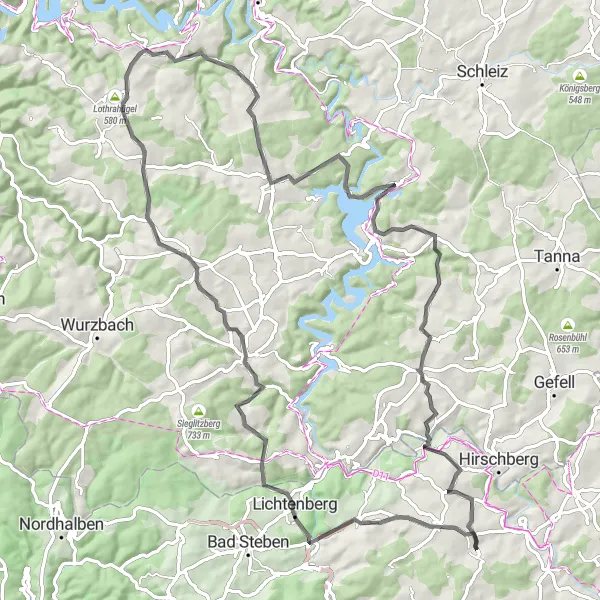
Cycling routes from Berg
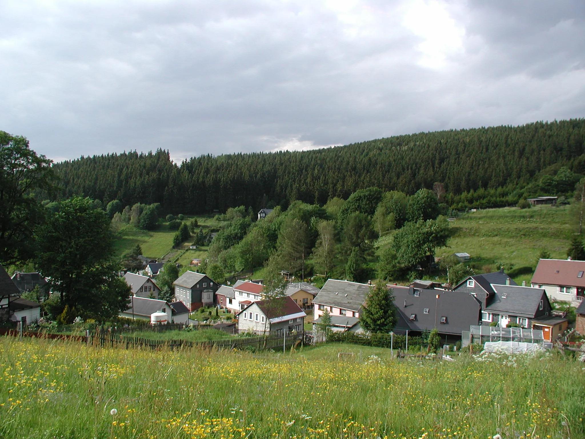
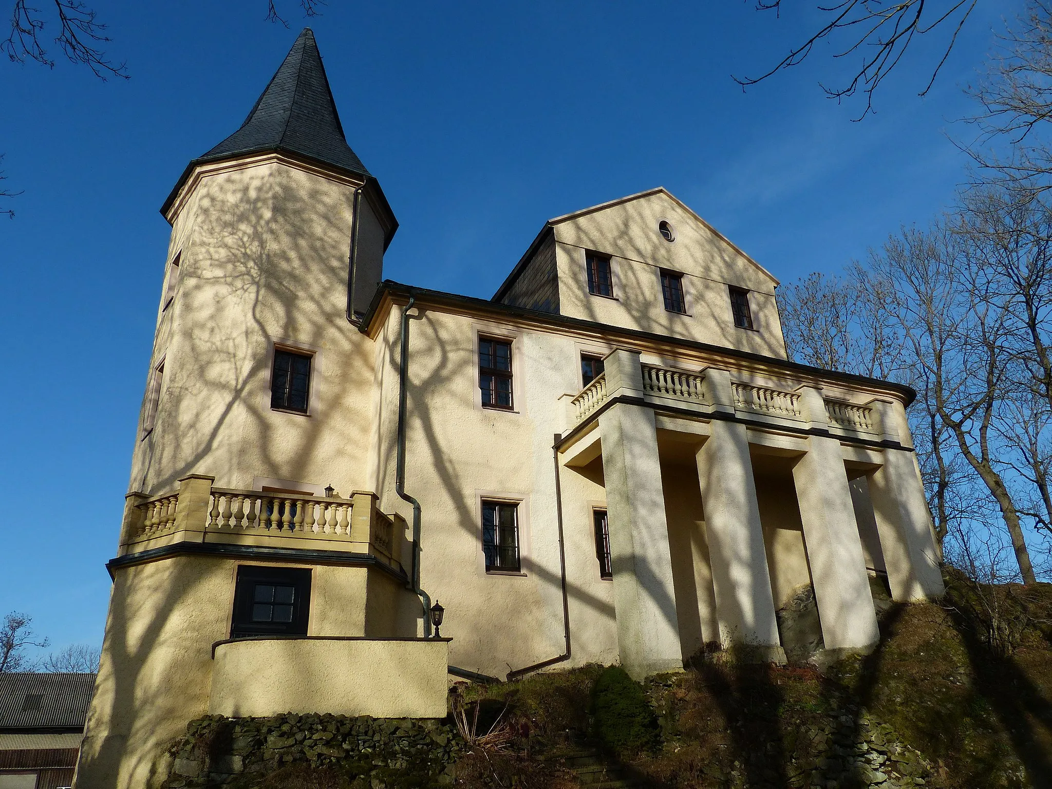
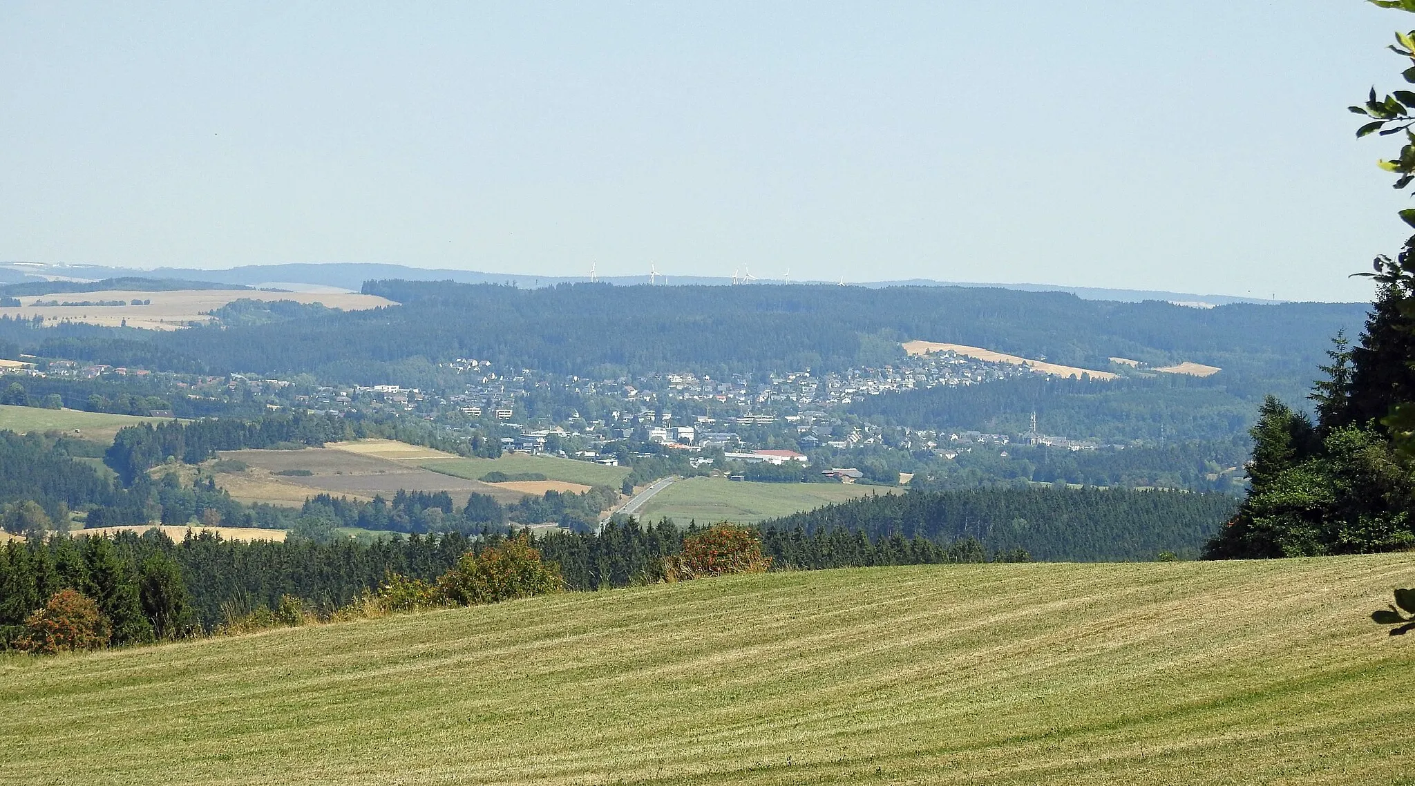
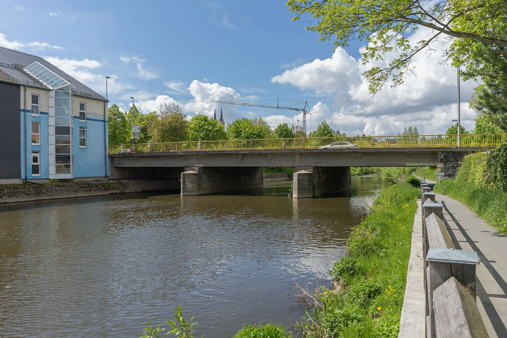
Berg is a locality located in Oberfranken, Germany. From a cyclist's perspective, Berg offers excellent cycling opportunities with its well-developed network of roads and cycling paths. Cyclists can explore the rolling hills and scenic landscapes, enjoying the peaceful surroundings. While Berg may not be home to any famous cycling-related spots or well-known climbs, it provides a delightful cycling experience for riders of all levels.
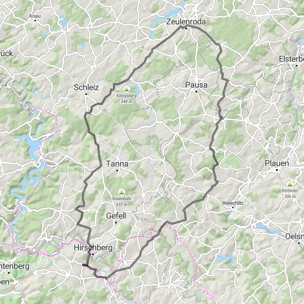
Conquer the mountains of Oberfranken on this extreme road cycling route
Prepare yourself for a challenging road cycling experience across the mountainous landscapes of Oberfranken. This intense route covers a distance of 92 kilometers with an elevation gain of 1396 meters. Throughout the journey, you'll encounter breathtaking highlights including Hirschberg, Hexenhaus, Blintendorf, Sauberg, Langenwolschendorf, Lerchenberg, Mehltheuer, Drei-Freistaaten-Stein, Jean-Paul-Felsen, and Gottsmannsgrün. Each highlight offers its own unique charm, from historical landmarks to natural wonders. This route is only suitable for experienced cyclists seeking an extreme and rewarding challenge.
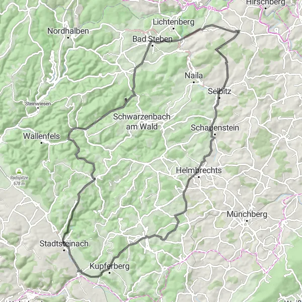
Embark on the ultimate road cycling challenge in Oberfranken
Seeking a new adrenaline rush? Look no further than this ultimate road cycling challenge in Oberfranken. With a distance of 91 kilometers and an elevation gain of 1421 meters, this route is not for the faint of heart. Highlights along the way include Schauenstein, Peterleinstein, Kupferberg, Kanzel, Presseck, Gerlaser Höhe, Bad Steben, Kniebühl, and Reitzenstein. Each highlight offers its own unique appeal, from historical landmarks to breathtaking scenic viewpoints. Are you ready to push your limits and conquer the road less traveled? Embark on this journey and discover what true road cycling passion feels like.
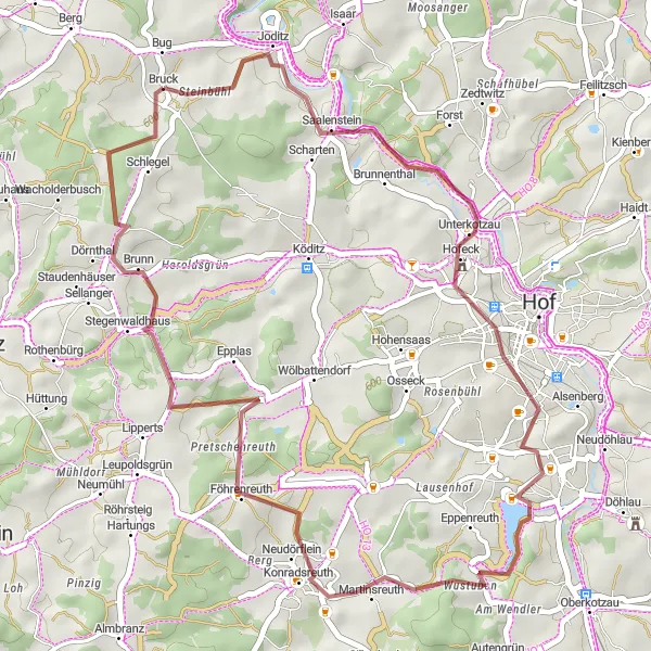
Discover hidden gems and remote countryside on this gravel cycling route.
Embark on an adventurous journey through the lesser-known regions of Upper Franconia. This 67 km long gravel cycling route offers a challenging terrain with 995 meters of ascent, while showcasing the region's natural beauty and historical landmarks.
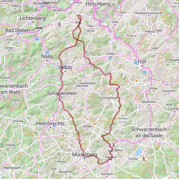
Berg Circular Gravel Route
Explore the beautiful landscapes of Berg on this circular gravel route
This scenic circular cycling route near Berg takes you through picturesque landscapes and charming villages. With a total ascent of 612 meters and a distance of 41 kilometers, this gravel route offers a challenging ride for experienced cyclists. The route is best suited for gravel bikes as it includes both flat sections and some rough terrains.
Explore the rugged beauty of Oberfranken on this epic gravel route
This gravel route takes you on a wild adventure through the picturesque region of Oberfranken. With a total distance of 104 kilometers and an ascent of 1846 meters, this route is perfect for gravel enthusiasts looking for a challenging ride. Along the way, you'll encounter stunning highlights including Blankeneck, Pottiga, Gans, Isabellengrün, Teufelsberg, and Volkmannsdorf. These unique locations offer breathtaking scenic views and interesting cultural landmarks. Whether you're a seasoned gravel rider or just starting out, this route will test your skills and provide an unforgettable experience.
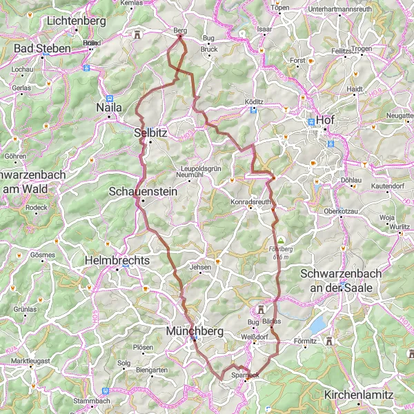
Embark on an adrenaline-pumping gravel journey featuring stunning landscapes
This thrilling gravel route near Berg Oberfranken offers an exhilarating adventure for gravel cyclists. Spanning 69 kilometers with a total ascent of 1004 meters, this route promises breathtaking landscapes and heart-pumping descents. Highlights along the route include Berg, Uprode, Weißdorf, Schauenstein, Selbitz, and Schnarchenreuth. From picturesque villages to scenic viewpoints, each highlight adds to the overall excitement of the ride. Whether you're a thrill-seeking cyclist or simply in search of an unforgettable experience, this route will certainly deliver.
The Road Explorer
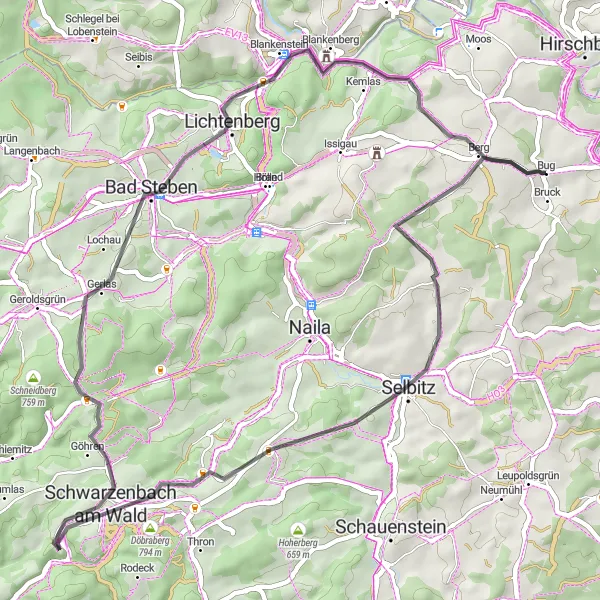
Embark on a scenic road cycling adventure through Oberfranken's stunning landscapes
Set out on an unforgettable road cycling adventure through Oberfranken, covering a distance of 52 kilometers with an elevation gain of 920 meters. This route guides you through some of the most picturesque locations in the region, including Selbitz, Schöne Aussicht, Döbraberg, Schwarzenbach am Wald, Gerlaser Höhe, Bad Steben, Haselhügel, and Blankenstein. Each highlight offers its own unique charm, from panoramic views to historical landmarks. Whether you're a road cycling enthusiast or a nature lover, this route promises a memorable experience filled with stunning scenery and cultural wonders.
Köditz Loop
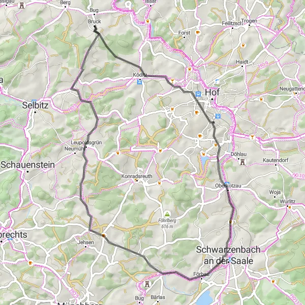
Experience the scenic beauty and winding roads of Köditz on this road cycling route.
Take on the challenge of this moderately difficult road cycling route, which offers stunning views and cultural highlights along the way. The route covers a distance of 49 km and includes 602 meters of ascent.
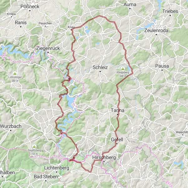
Gravel Adventure
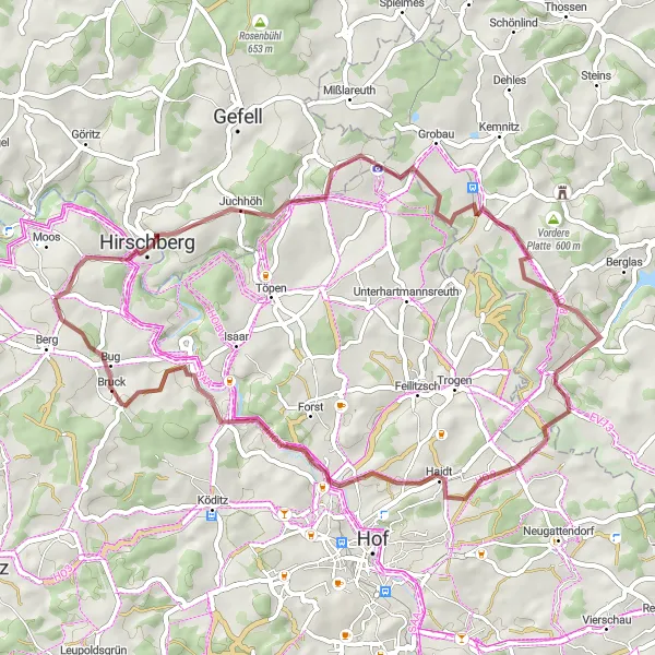
Embark on an adventurous journey through the gravel paths of Hirschberg.
Get ready for an exciting gravel cycling experience on this challenging route starting in Hirschberg. With a distance of 51 km and 782 meters of ascent, this route will test your skills and offer breathtaking views of the surrounding landscapes.
Maximal Challenge
Take on the ultimate challenge with this demanding road cycling route in Oberfranken.
Prepare to push your limits on this 89 km long road cycling route, featuring a challenging ascent of 1828 meters. This route is suited for experienced cyclists seeking a thrilling adventure amidst Oberfranken's stunning landscape and cultural highlights.
Cycling routes nearby:


Nearby regions: