Challenging Mountain Route
A road cycling route starting from Berg
Conquer the mountains of Oberfranken on this extreme road cycling route
Map
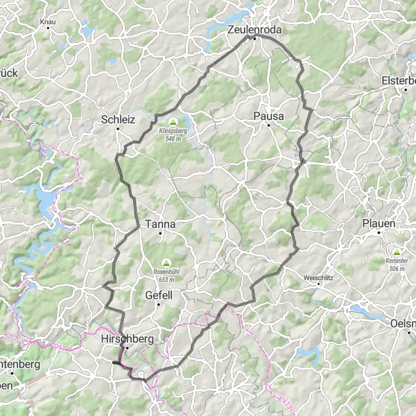
Prepare yourself for a challenging road cycling experience across the mountainous landscapes of Oberfranken. This intense route covers a distance of 92 kilometers with an elevation gain of 1396 meters. Throughout the journey, you'll encounter breathtaking highlights including Hirschberg, Hexenhaus, Blintendorf, Sauberg, Langenwolschendorf, Lerchenberg, Mehltheuer, Drei-Freistaaten-Stein, Jean-Paul-Felsen, and Gottsmannsgrün. Each highlight offers its own unique charm, from historical landmarks to natural wonders. This route is only suitable for experienced cyclists seeking an extreme and rewarding challenge.
road
92 km
1396 m
Savage
Route profile
Highlights on the route
0 km
0 km
Start: Gottsmannsgrün Village centerBerg: Scenic Cycling in Oberfranken
Berg is a locality located in Oberfranken, Germany. From a cyclist's perspective, Berg offers excellent cycling opportunities with its well-developed network of roads and cycling paths. Cyclists can explore the rolling hills and scenic landscapes, enjoying the peaceful surroundings. While Berg may not be home to any famous cycling-related spots or well-known climbs, it provides a delightful cycling experience for riders of all levels.3 km
3 km
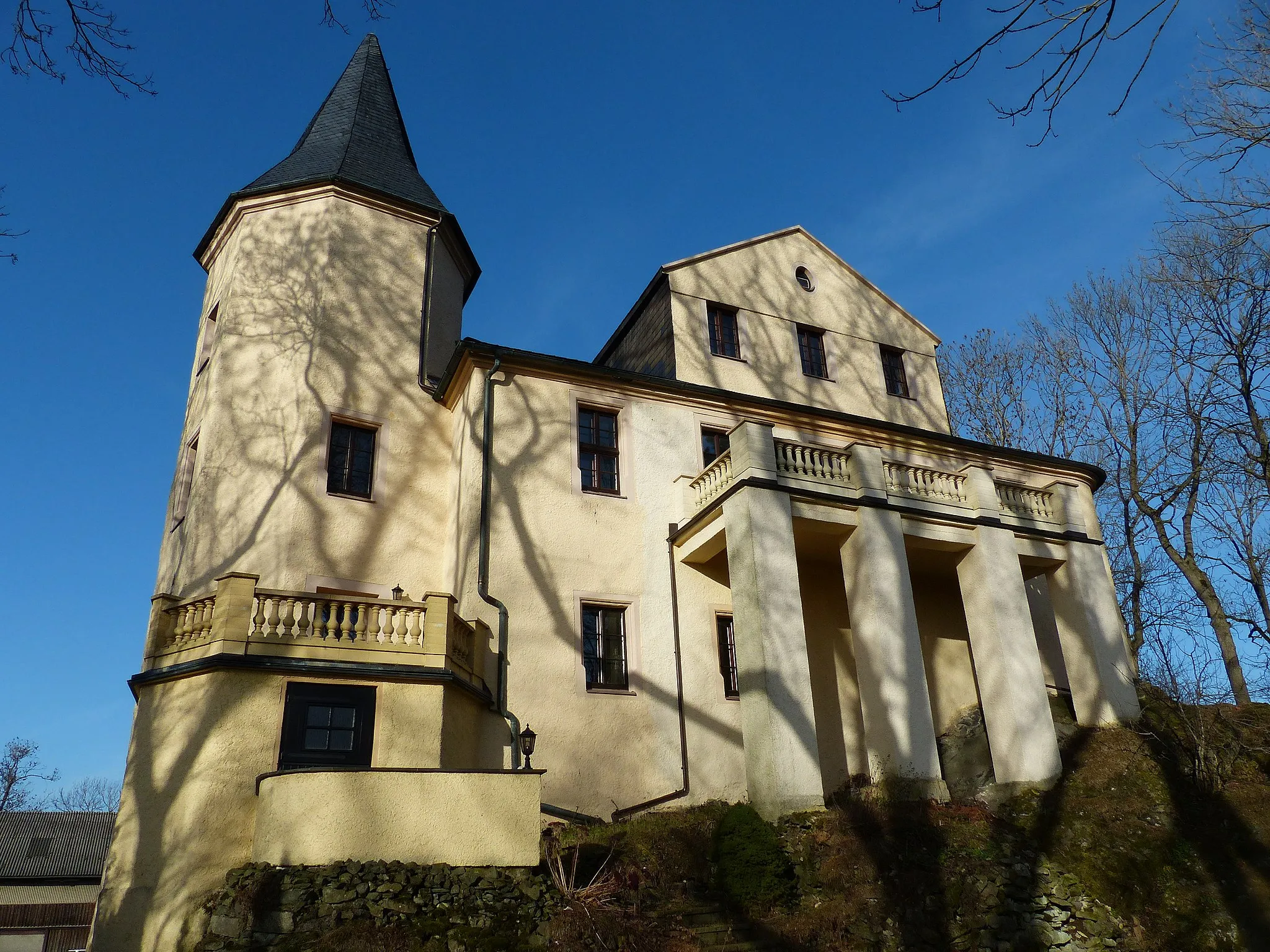
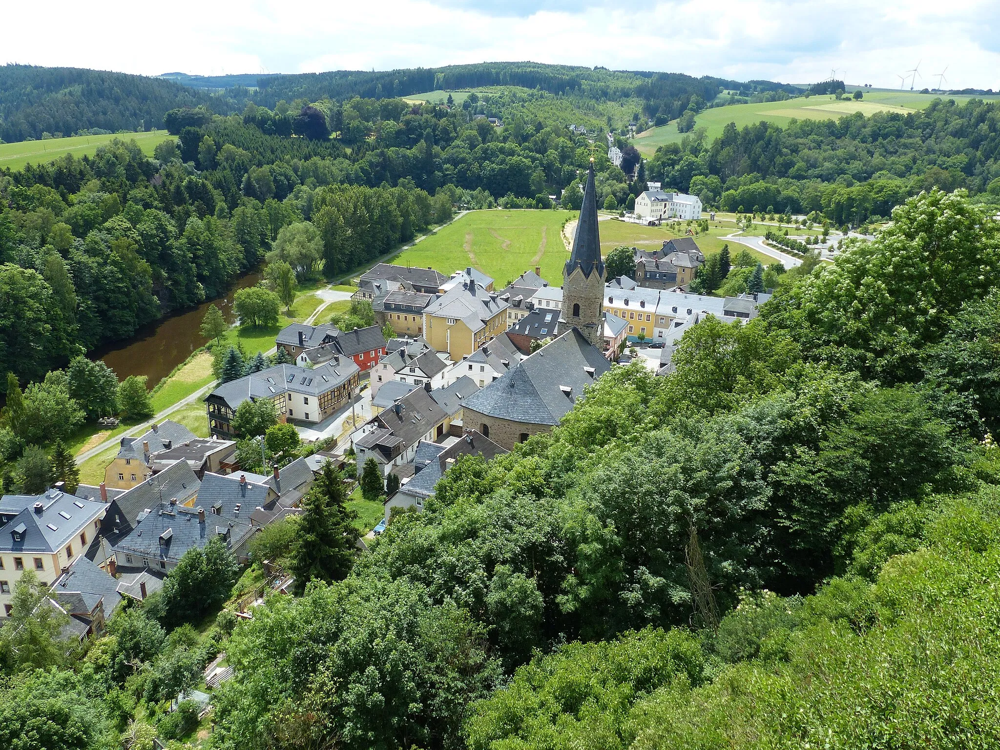
HirschbergTownHirschberg: Ride up the demanding slopes of Hirschberg, a mountain renowned for its challenging ascent and spectacular views.
3 km
3 km
HexenhausViewpointHexenhaus: Pass by Hexenhaus (Witch House), a small cottage with mythical tales and legends surrounding it.
11 km
11 km
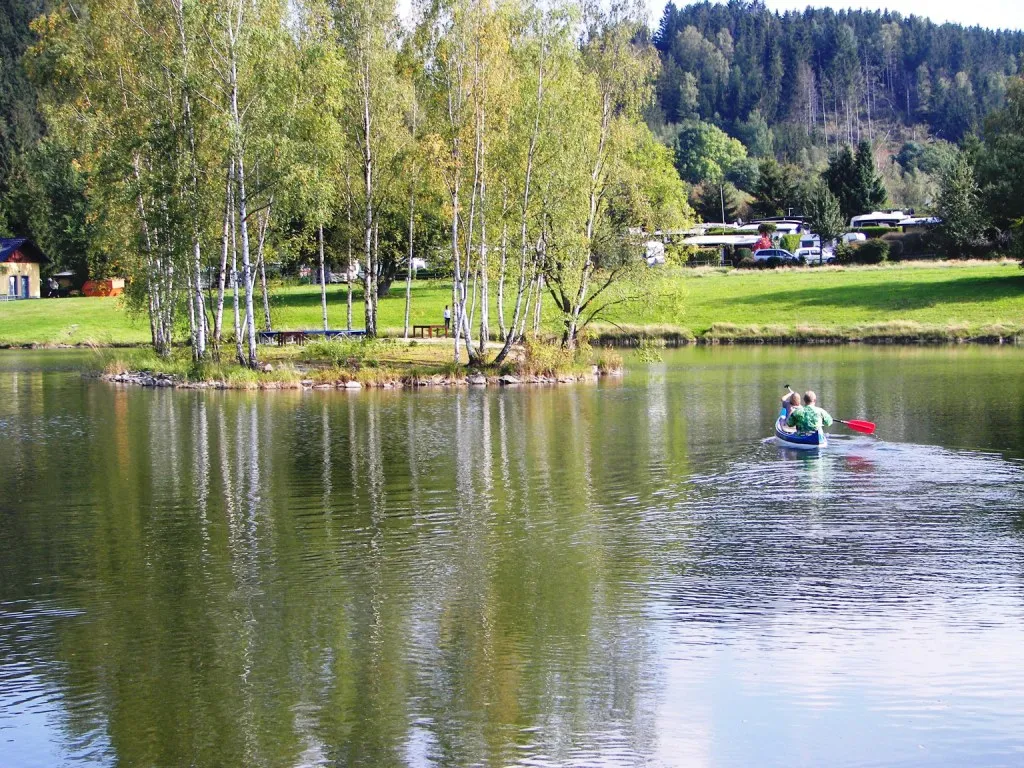
BlintendorfVillageBlintendorf: Visit Blintendorf, a tranquil village nestled in the mountains and known for its picturesque location.
28 km
28 km
Sauberg539 mPeakSauberg: Challenge yourself with the ascent to Sauberg, a mountain that rewards you with incredible panoramic views at its summit.
40 km
40 km
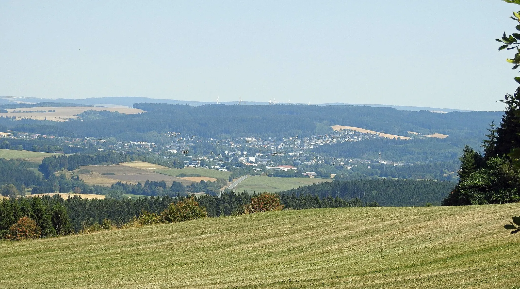
LangenwolschendorfVillageLangenwolschendorf: Explore the charming village of Langenwolschendorf, surrounded by picturesque landscapes and inviting nature trails.
48 km
48 km
Lerchenberg462 mPeakLerchenberg: Reach the summit of Lerchenberg, a mountain known for its pristine surroundings and breathtaking vistas.
58 km
58 km
MehltheuerVillage79 km
79 km
Drei-Freistaaten-SteinAttractionDrei-Freistaaten-Stein: Stand at the border of three German states at Drei-Freistaaten-Stein (Three States Stone), an intriguing historical landmark.
88 km
88 km
Jean-Paul-FelsenViewpointJean-Paul-Felsen: Immerse yourself in the literary legacy of Jean Paul Richter, a renowned German writer, at Jean-Paul-Felsen (Jean Paul Rock).
92 km
92 km
GottsmannsgrünVillageGottsmannsgrün: Finish your journey in Gottsmannsgrün, a charming village surrounded by rolling hills and untouched nature.
92 km
92 km
Finish: Gottsmannsgrün Village centerBerg: Scenic Cycling in Oberfranken
Cycling routes nearby: