Maximal Challenge
A road cycling route starting from Berg
Take on the ultimate challenge with this demanding road cycling route in Oberfranken.
Map
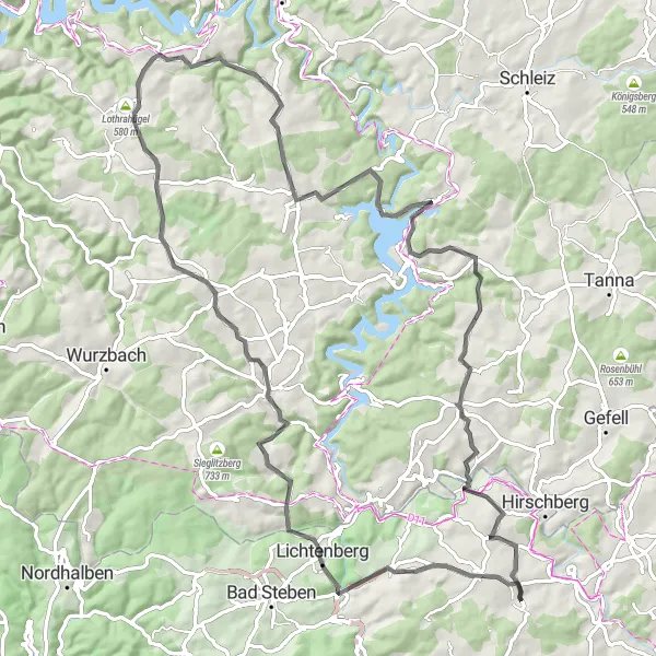
Prepare to push your limits on this 89 km long road cycling route, featuring a challenging ascent of 1828 meters. This route is suited for experienced cyclists seeking a thrilling adventure amidst Oberfranken's stunning landscape and cultural highlights.
road
89 km
1828 m
Savage
Route profile
Highlights on the route
0 km
0 km
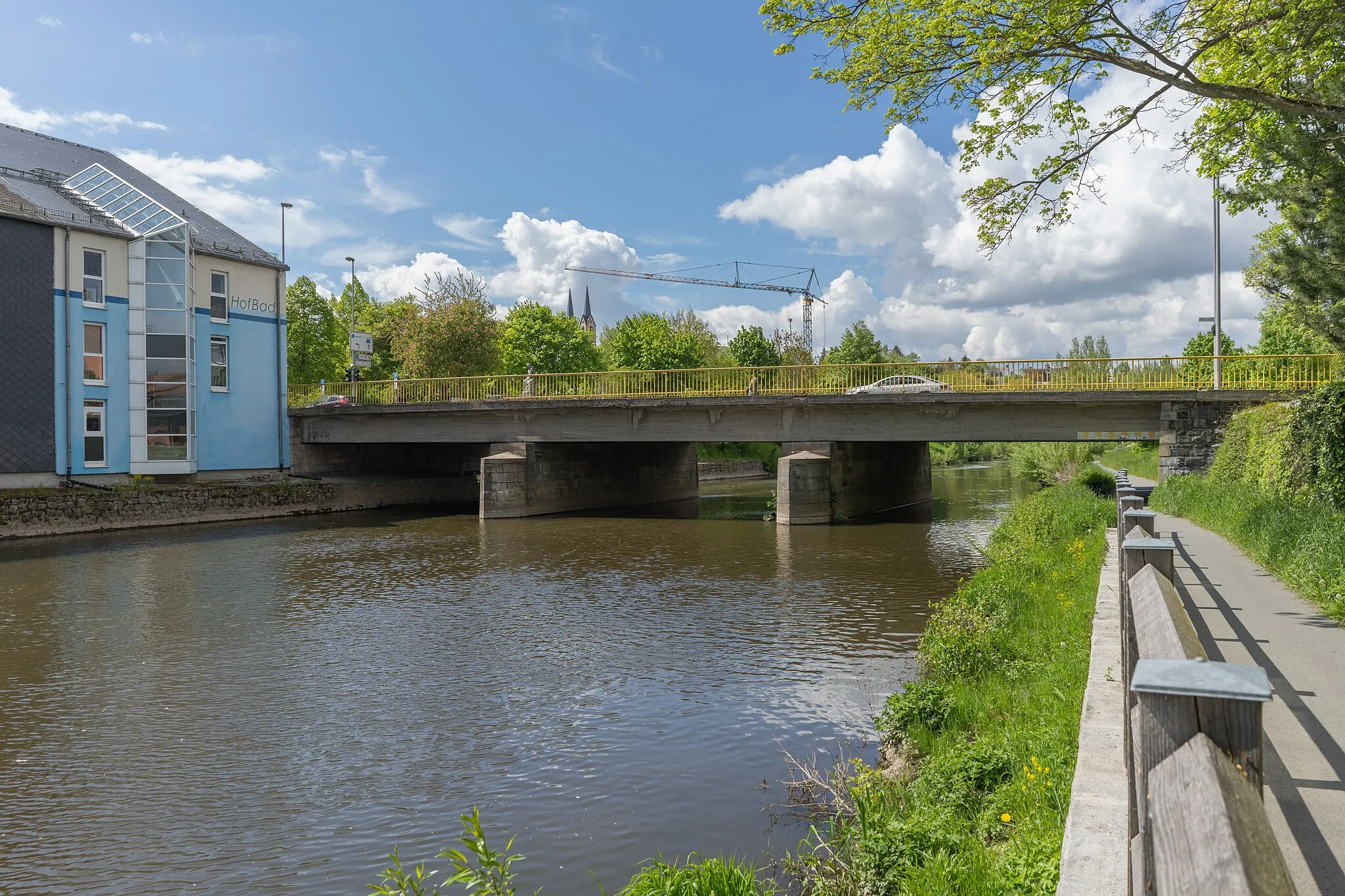
Start: Bruck Village centerBerg: Scenic Cycling in Oberfranken
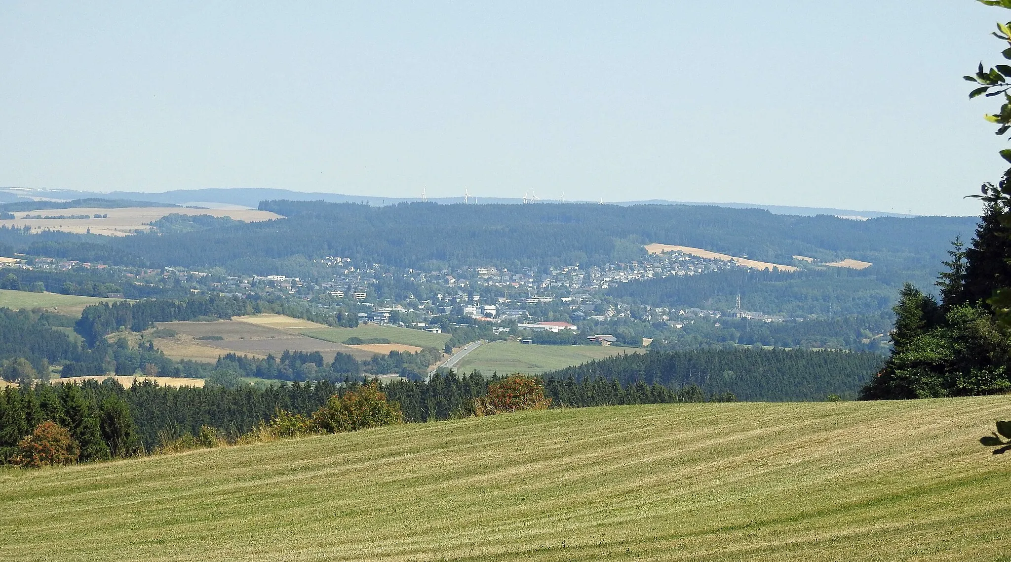
Berg is a locality located in Oberfranken, Germany. From a cyclist's perspective, Berg offers excellent cycling opportunities with its well-developed network of roads and cycling paths. Cyclists can explore the rolling hills and scenic landscapes, enjoying the peaceful surroundings. While Berg may not be home to any famous cycling-related spots or well-known climbs, it provides a delightful cycling experience for riders of all levels.7 km
7 km
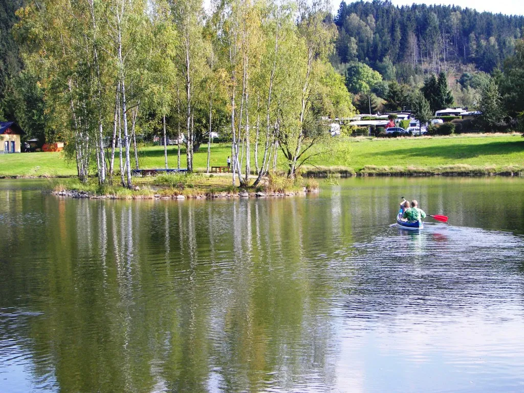
IssigauVillageExperience the natural beauty of Issigau with its rolling hills and scenic landscapes, perfect for a peaceful rest stop.
15 km
15 km
Wiesbühl624 mPeakCycle through the picturesque village of Wiesbühl, famous for its charming timber-frame houses.
22 km
22 km
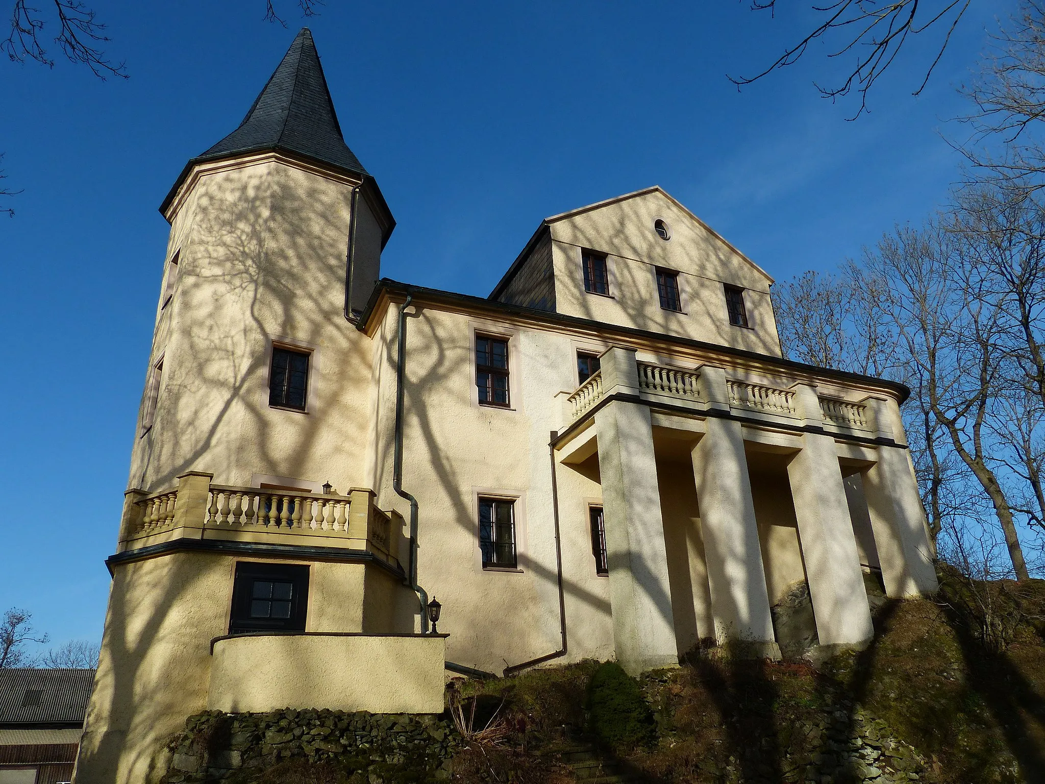
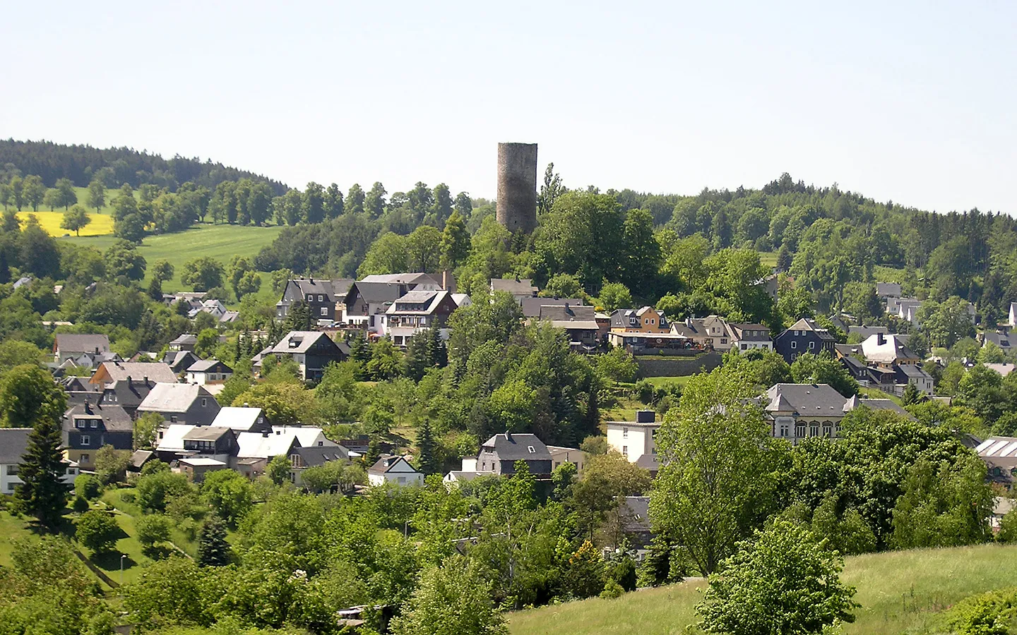
Burg LobensteinCastleExplore the impressive Burg Lobenstein, a medieval castle offering panoramic views of the surrounding countryside.
38 km
38 km
Lothrahügel580 mPeakConquer the challenging slopes of Lothrahügel, known for its demanding climbs and rewarding panoramas.
53 km
53 km
RemptendorfVillageDiscover the historic village of Remptendorf, home to traditional Franconian cuisine and beautiful timber-framed houses.
59 km
59 km
Gans441 mPeakMarvel at the natural beauty of Gans, featuring pristine forests, crystal-clear lakes, and peaceful nature trails.
68 km
68 km
Honigberg520 mPeakTake on the epic climb of Honigberg, a famed cycling spot known for its challenging gradients and breathtaking vistas.
81 km
81 km
SparnbergVillageEnd your ride with the exhilarating descent from Sparnberg, offering a thrilling finish amidst stunning Oberfranken scenery.
89 km
89 km
Finish: Bruck Village centerBerg: Scenic Cycling in Oberfranken
Cycling routes nearby: