Gravel Adventure
A gravel cycling route starting from Berg
Embark on an adventurous journey through the gravel paths of Hirschberg.
Map
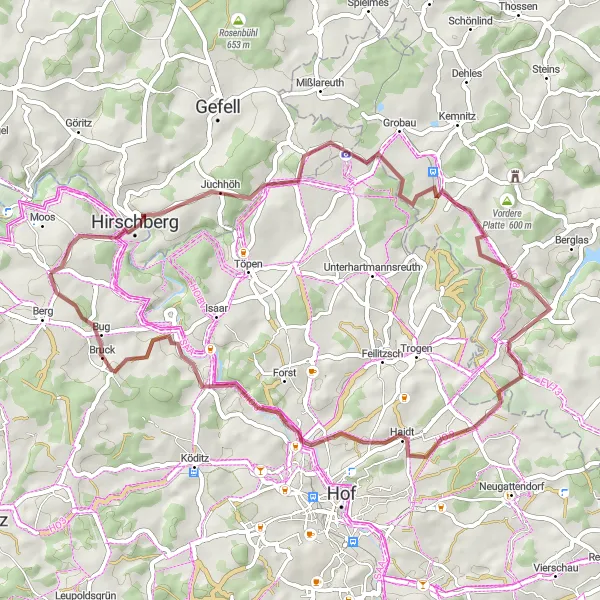
Get ready for an exciting gravel cycling experience on this challenging route starting in Hirschberg. With a distance of 51 km and 782 meters of ascent, this route will test your skills and offer breathtaking views of the surrounding landscapes.
gravel
51 km
782 m
Tough
Route profile
Highlights on the route
0 km
0 km
Start: Schnarchenreuth Village centerBerg: Scenic Cycling in Oberfranken
Berg is a locality located in Oberfranken, Germany. From a cyclist's perspective, Berg offers excellent cycling opportunities with its well-developed network of roads and cycling paths. Cyclists can explore the rolling hills and scenic landscapes, enjoying the peaceful surroundings. While Berg may not be home to any famous cycling-related spots or well-known climbs, it provides a delightful cycling experience for riders of all levels.3 km
3 km
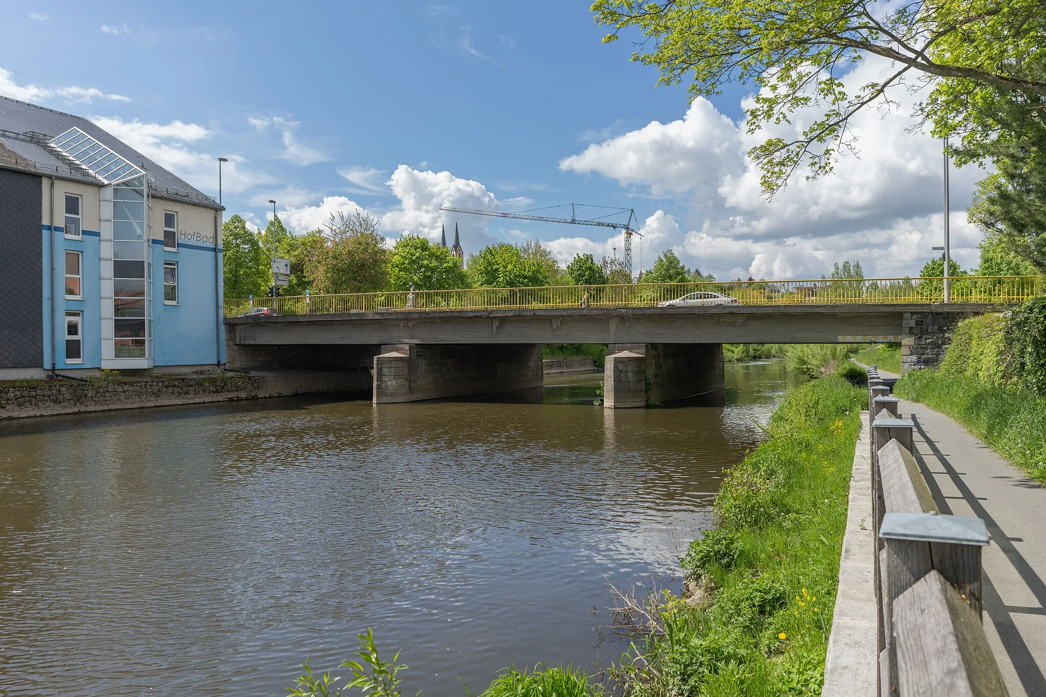
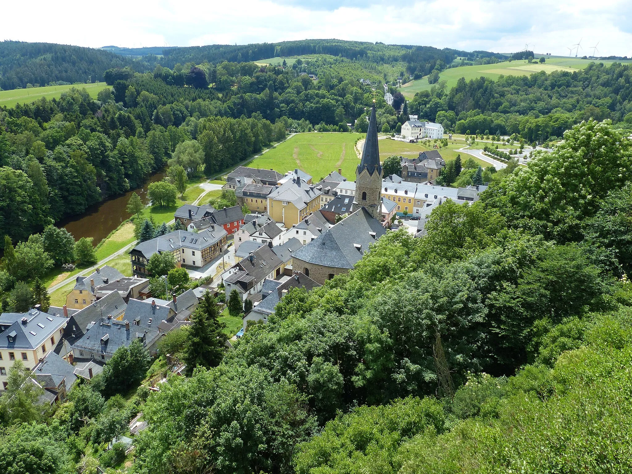
HirschbergTownExperience the thrill of cycling through Hirschberg's gravel paths, surrounded by scenic forests and fields.
4 km
4 km
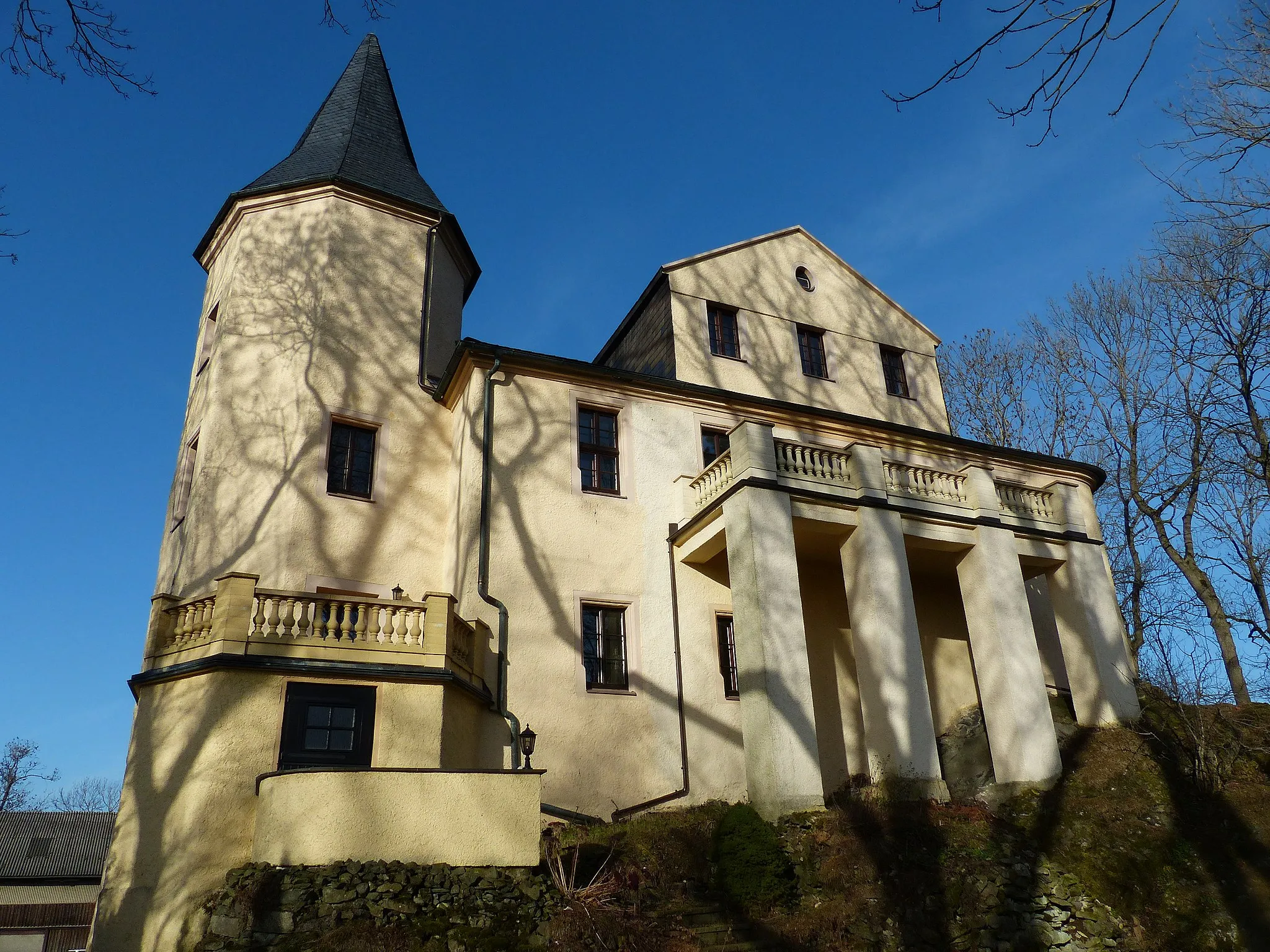
HexenhausViewpointPass by Hexenhaus, a historic witch house famous for its intriguing legends and stories.
13 km
13 km
Drei-Freistaaten-SteinAttractionReach the Drei-Freistaaten-Stein, a monument marking the border of three German states - Bavaria, Thuringia, and Sachsen.
23 km
23 km
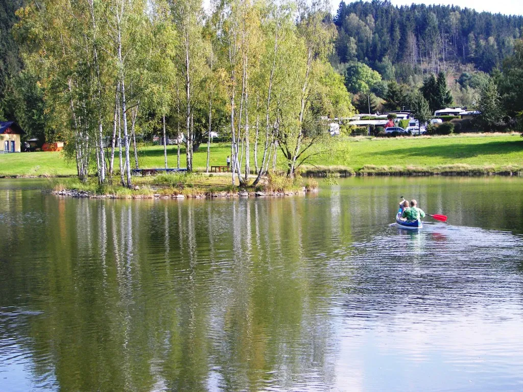
Wachthübel519 mPeakExplore the natural beauty of Wachthübel, with its picturesque lake and lush greenery.
41 km
41 km
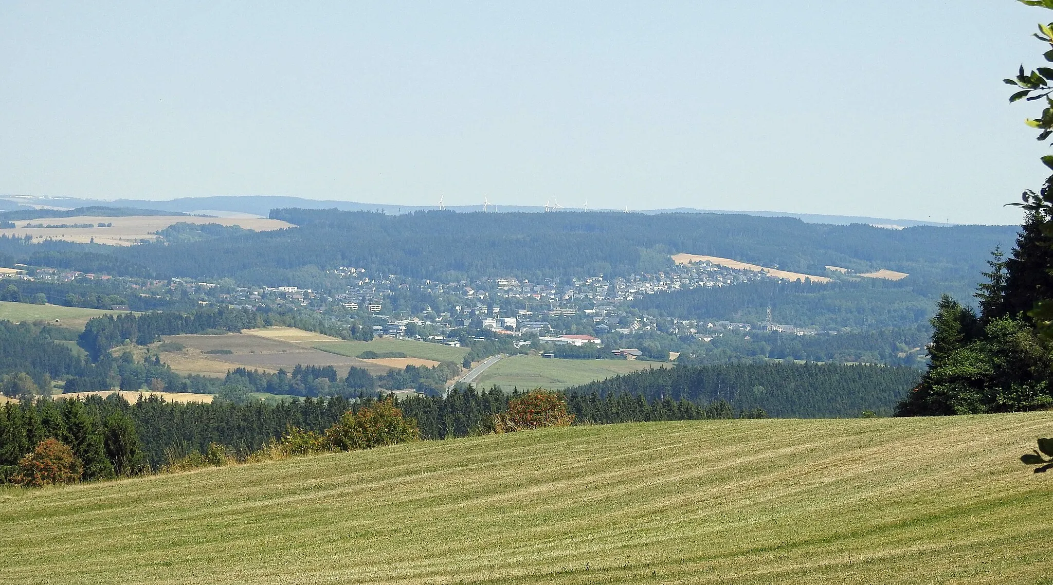
SaalensteinVillageAdmire the enchanting Saalenstein, a natural rock formation sculpted by the river.
50 km
50 km
BergVillageConquer the challenging slopes of Berg, known for its demanding gravel climbs and stunning vistas.
51 km
51 km
Finish: Schnarchenreuth Village centerBerg: Scenic Cycling in Oberfranken
Cycling routes nearby: