The Road Explorer
A road cycling route starting from Berg
Embark on a scenic road cycling adventure through Oberfranken's stunning landscapes
Map
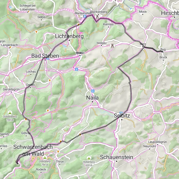
Set out on an unforgettable road cycling adventure through Oberfranken, covering a distance of 52 kilometers with an elevation gain of 920 meters. This route guides you through some of the most picturesque locations in the region, including Selbitz, Schöne Aussicht, Döbraberg, Schwarzenbach am Wald, Gerlaser Höhe, Bad Steben, Haselhügel, and Blankenstein. Each highlight offers its own unique charm, from panoramic views to historical landmarks. Whether you're a road cycling enthusiast or a nature lover, this route promises a memorable experience filled with stunning scenery and cultural wonders.
road
52 km
920 m
Tough
Route profile
Highlights on the route
0 km
0 km
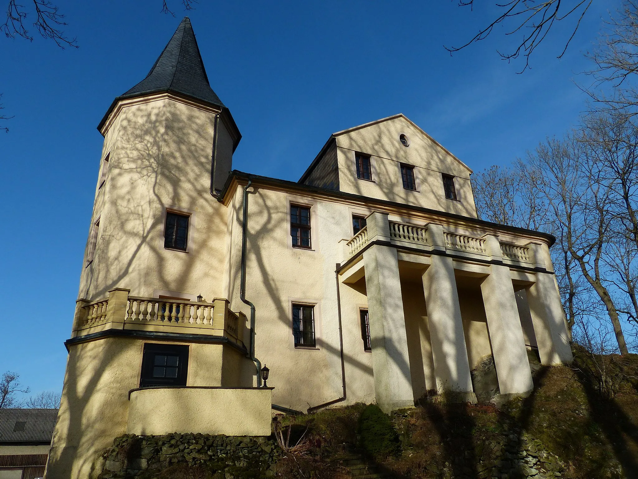
Start: Bug Village centerBerg: Scenic Cycling in Oberfranken
Berg is a locality located in Oberfranken, Germany. From a cyclist's perspective, Berg offers excellent cycling opportunities with its well-developed network of roads and cycling paths. Cyclists can explore the rolling hills and scenic landscapes, enjoying the peaceful surroundings. While Berg may not be home to any famous cycling-related spots or well-known climbs, it provides a delightful cycling experience for riders of all levels.11 km
11 km
SelbitzTownSelbitz: Enjoy the panoramic beauty of Selbitz, a town nestled in the midst of verdant landscapes and rolling hills.
14 km
14 km
Schöne AussichtViewpointSchöne Aussicht: Experience breathtaking views of the surrounding countryside from Schöne Aussicht (Beautiful View), a scenic lookout point.
20 km
20 km
Döbraberg794 mPeakDöbraberg: Discover Döbraberg, the highest peak in Oberfranken, offering stunning vistas of the region's diverse landscapes.
21 km
21 km
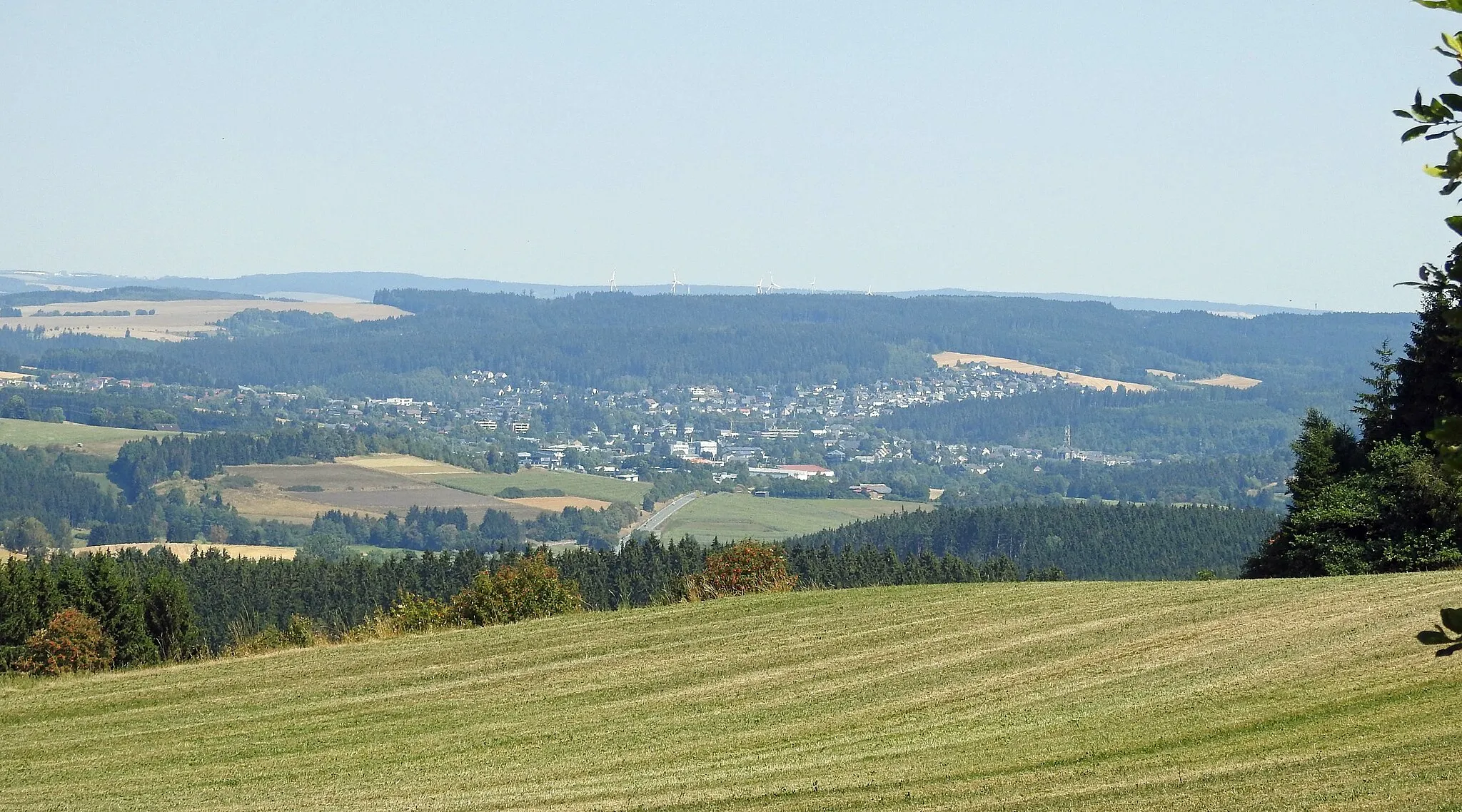
Schwarzenbach am WaldTownSchwarzenbach am Wald: Pass through Schwarzenbach am Wald, a charming town renowned for its well-preserved old town and historical buildings.
32 km
32 km
Gerlaser Höhe665 mPeakGerlaser Höhe: Challenge yourself with the ascent to Gerlaser Höhe, a hill that rewards you with panoramic views from its summit.
36 km
36 km
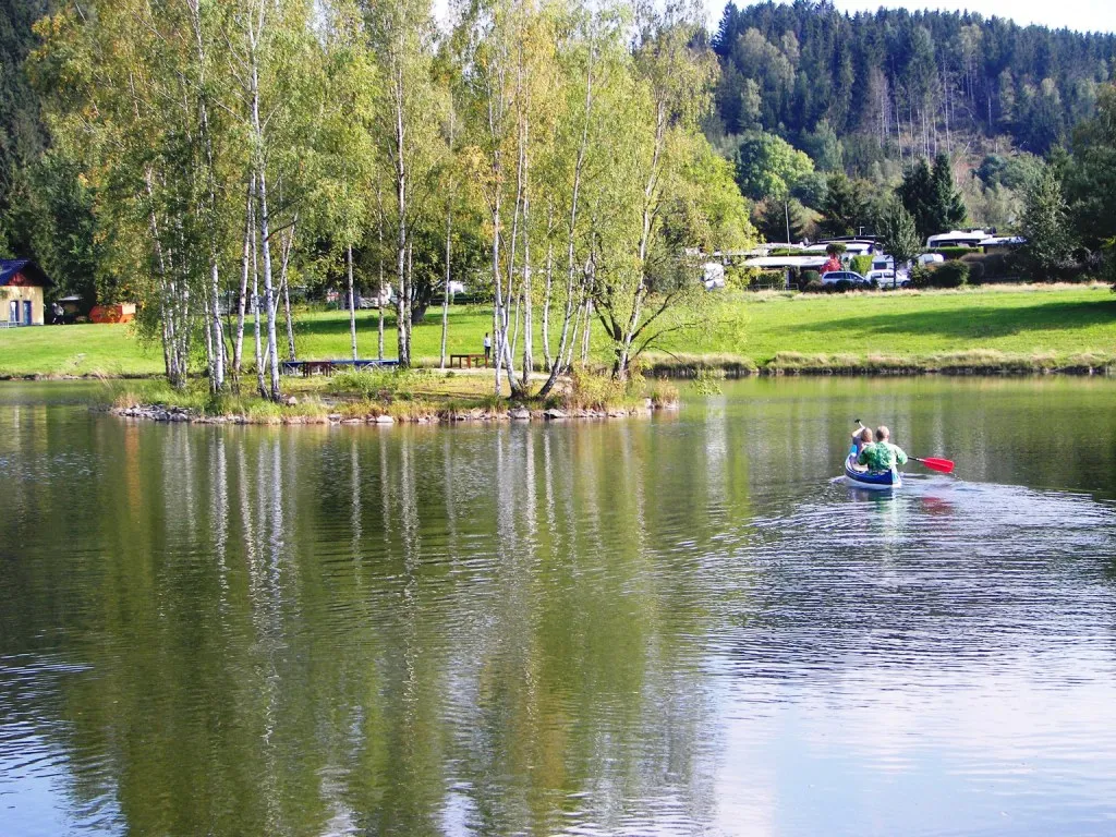
Bad StebenTownBad Steben : Take a break in the renowned spa town of Bad Steben, known for its healing waters and relaxing atmosphere.
41 km
41 km
Haselhügel624 mPeakHaselhügel: Ride through the beautiful countryside of Haselhügel and enjoy its peaceful atmosphere.
42 km
42 km
BlankensteinVillageBlankenstein: Explore the medieval charm of Blankenstein, a historical town with impressive architecture and picturesque streets.
52 km
52 km
Finish: Bug Village centerBerg: Scenic Cycling in Oberfranken
Cycling routes nearby: