Hidden Gems of Upper Franconia
A gravel cycling route starting from Berg
Discover hidden gems and remote countryside on this gravel cycling route.
Map
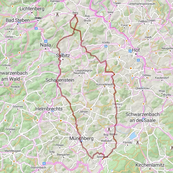
Embark on an adventurous journey through the lesser-known regions of Upper Franconia. This 67 km long gravel cycling route offers a challenging terrain with 995 meters of ascent, while showcasing the region's natural beauty and historical landmarks.
gravel
67 km
995 m
Savage
Route profile
Highlights on the route
0 km
0 km
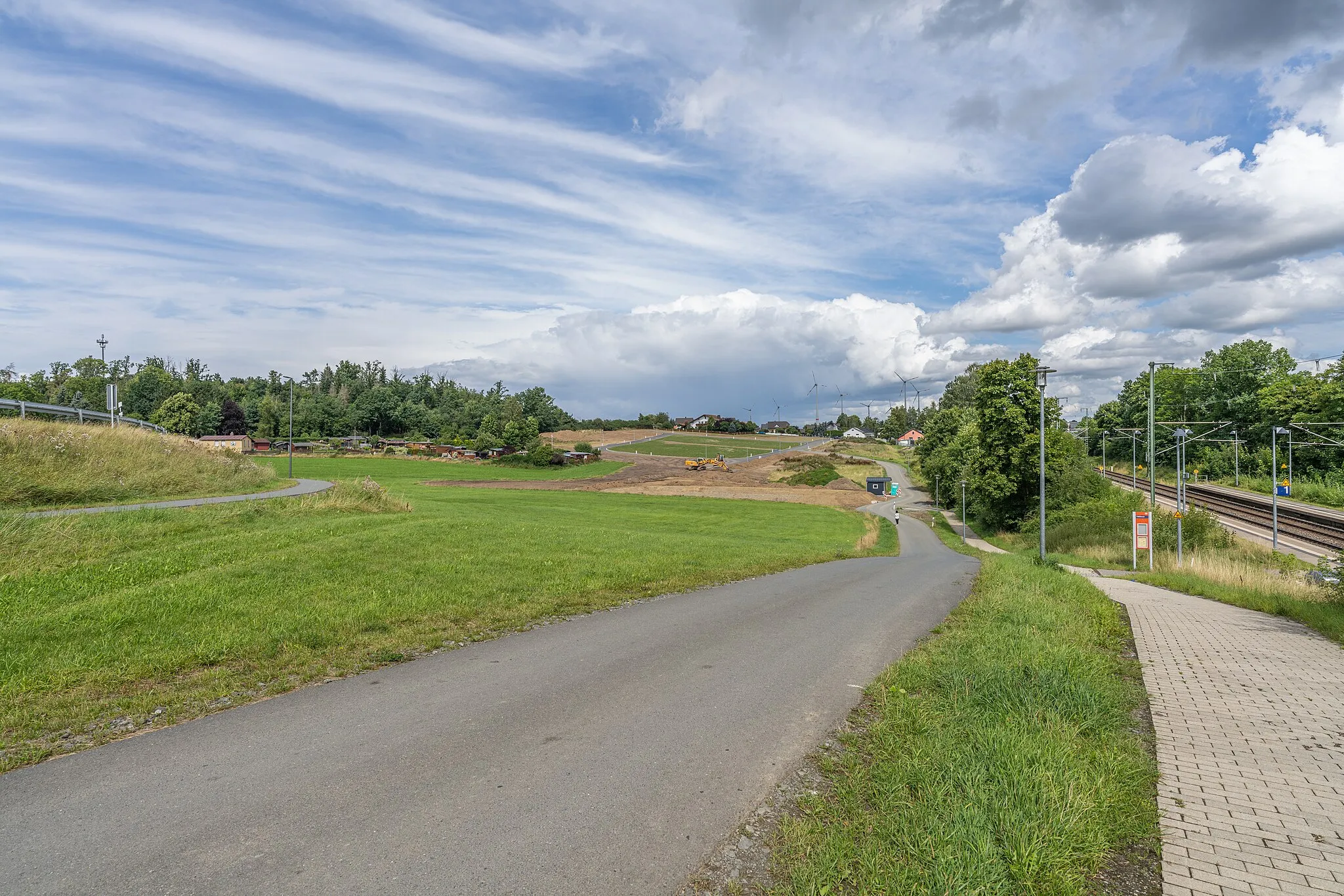
Start: Berg Village centerBerg: Scenic Cycling in Oberfranken
Berg is a locality located in Oberfranken, Germany. From a cyclist's perspective, Berg offers excellent cycling opportunities with its well-developed network of roads and cycling paths. Cyclists can explore the rolling hills and scenic landscapes, enjoying the peaceful surroundings. While Berg may not be home to any famous cycling-related spots or well-known climbs, it provides a delightful cycling experience for riders of all levels.12 km
12 km
WölbattendorfVillageCycle through the idyllic village of Wölbattendorf, known for its charming half-timbered houses and tranquility.
24 km
24 km
Höferberg593 mPeakMarvel at the panoramic views from the Höferberg lookout point, offering an unforgettable perspective of the surrounding landscape.
30 km
30 km
BenkVillageVisit the small but picturesque village of Benk, with its traditional Franconian architecture and peaceful atmosphere.
40 km
40 km
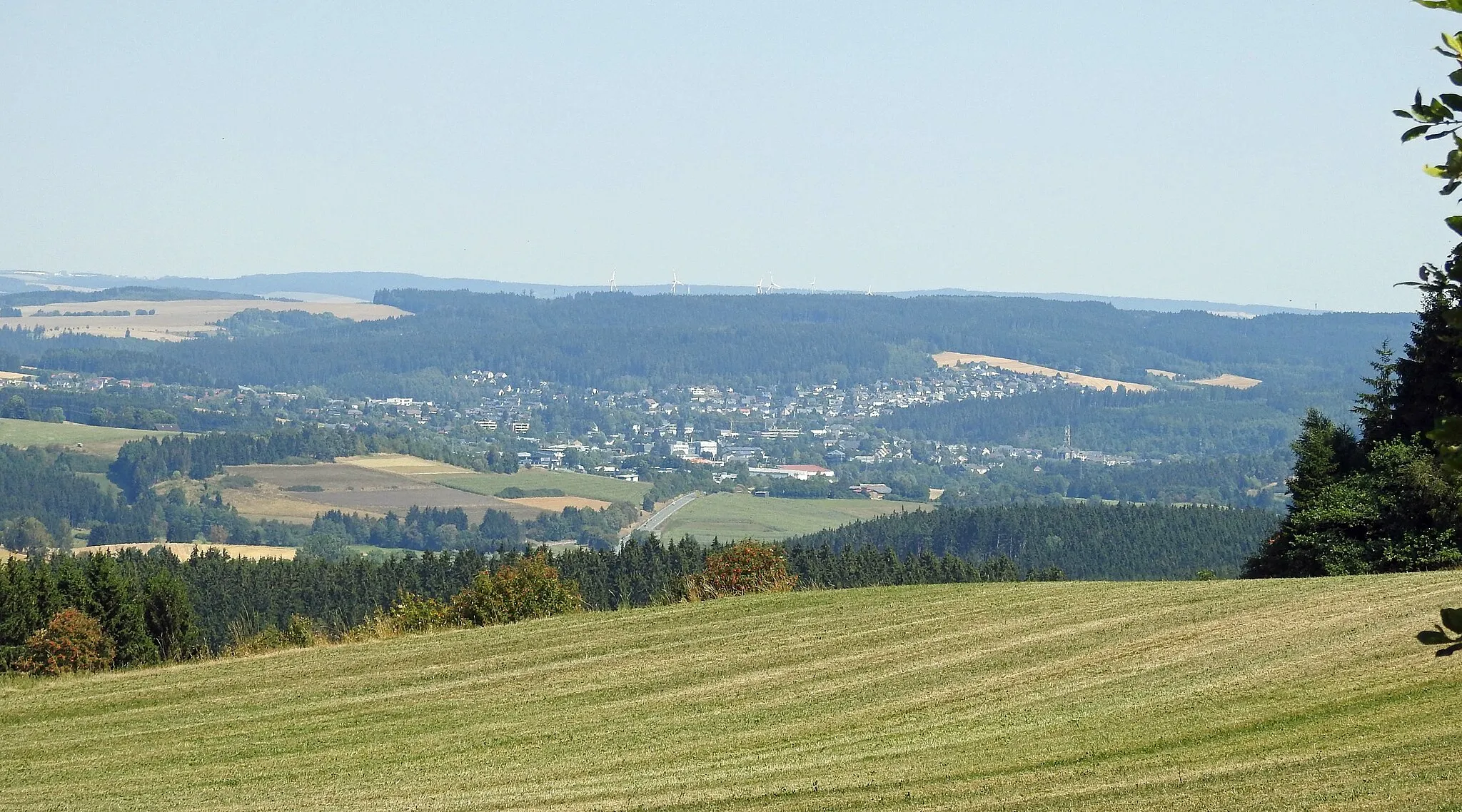
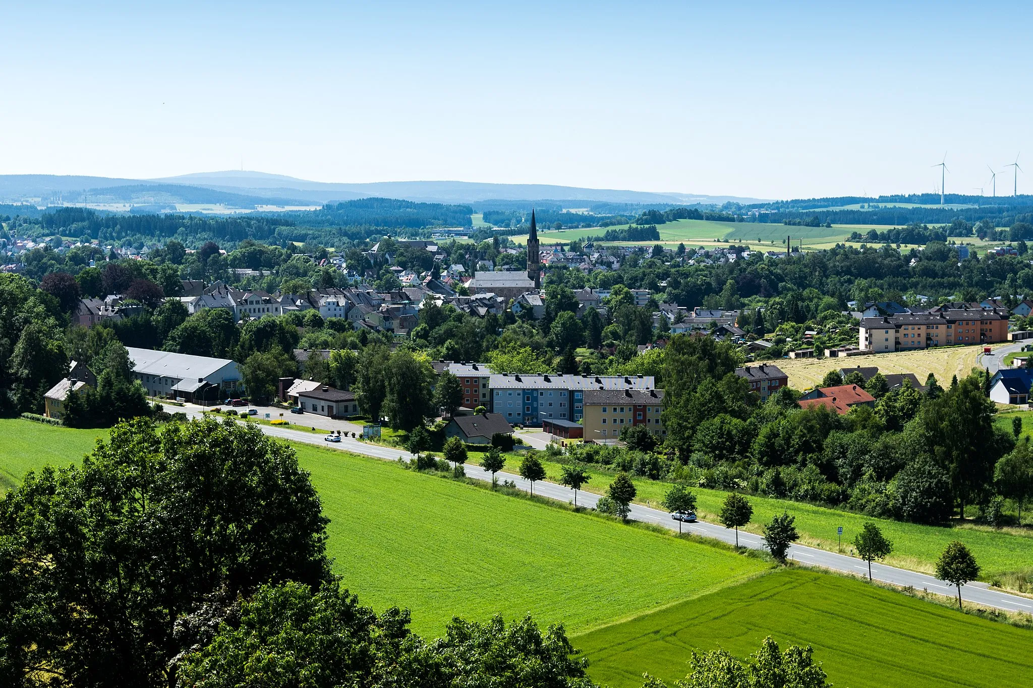
MünchbergTownStop by Münchberg's historic city center, where you can admire well-preserved medieval buildings and enjoy local cuisine.
41 km
41 km
Kriegerdenkmal/RohrbühlViewpointPay tribute to the fallen soldiers at the Kriegerdenkmal/Rohrbühl, a memorial located amidst the peaceful nature.
51 km
51 km
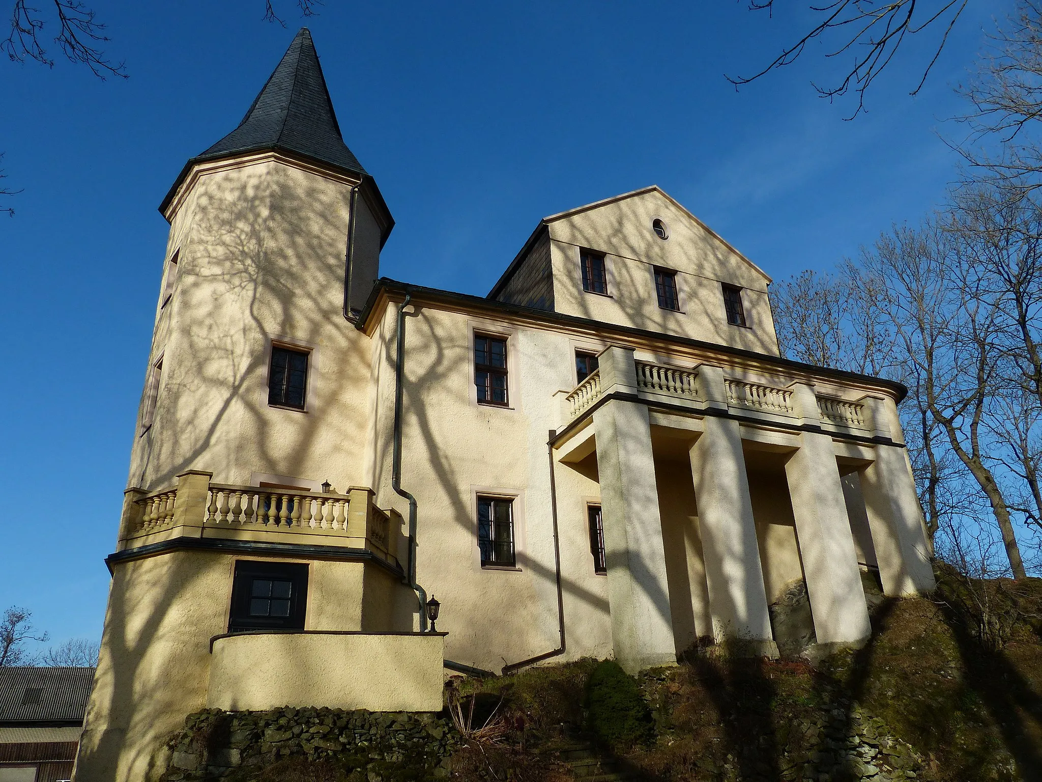
SchauensteinTownReach the majestic Schauenstein Castle, a unique architectural gem surrounded by lush gardens and beautiful landscape.
57 km
57 km
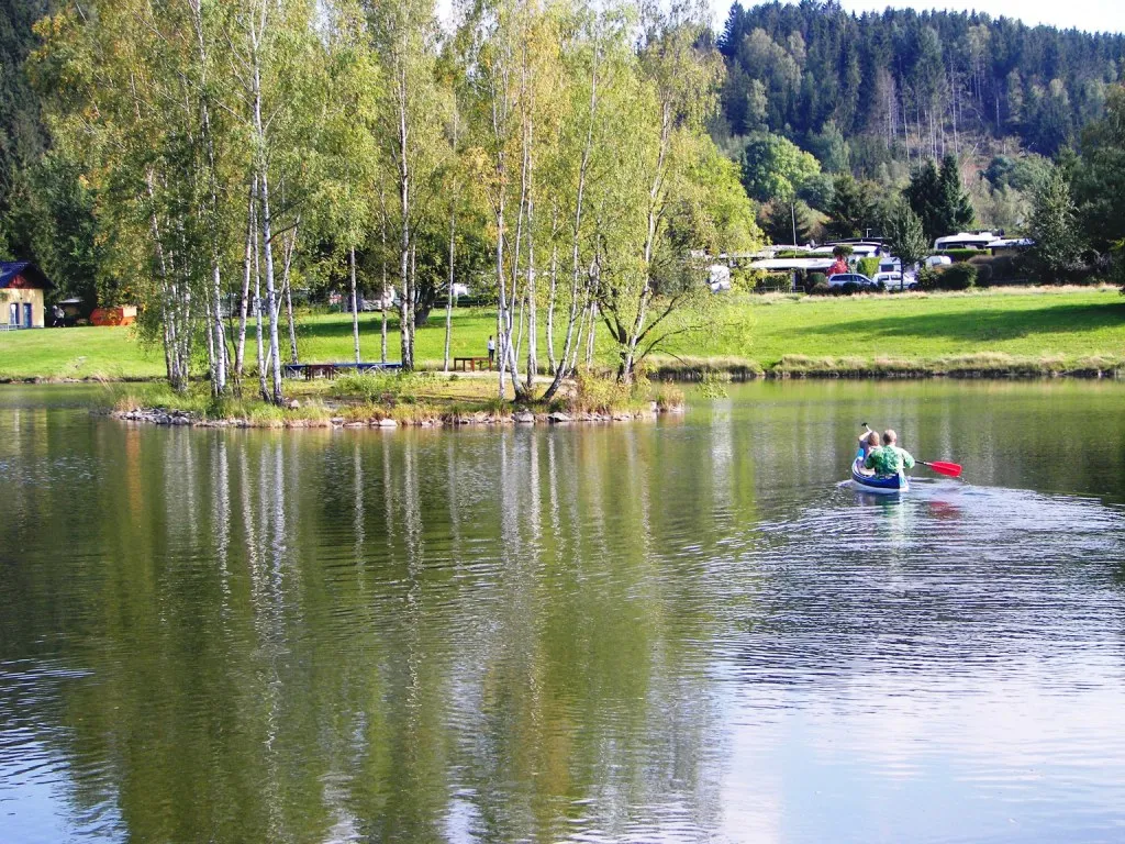
SelbitzTownCycle through the charming town of Selbitz, best known for its impressive Selbitz River Dam and nature reserve.
67 km
67 km
Finish: Berg Village centerBerg: Scenic Cycling in Oberfranken
Cycling routes nearby: