Challenging Tour Through Oberfranken
A road cycling route starting from Naila
Embark on a challenging road cycling tour through Oberfranken, taking in the beautiful Lehesten area.
Map
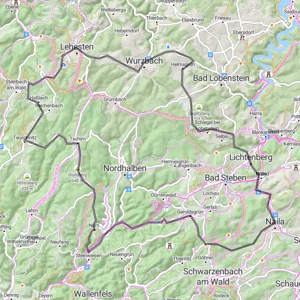
This 90-kilometer road cycling route offers a challenging adventure for experienced cyclists. With an ascent of 1717 meters, prepare for some elevation gain. Along the way, you'll pass through Geroldsgrün, known for its idyllic landscapes, Kämmleinsfelsen, a stunning rock formation perfect for a stop and photo opportunity, and Tschirn, a scenic village nestled in the Franconian Forest. The route also includes the iconic Lehesten, a hidden gem famous for its natural beauty. Ride through Culm and Söllhügel, both known for their panoramic views, before returning to Naila-Froschgrün for a triumphant finish.
road
90 km
1717 m
Savage
Route profile
Highlights on the route
0 km
0 km
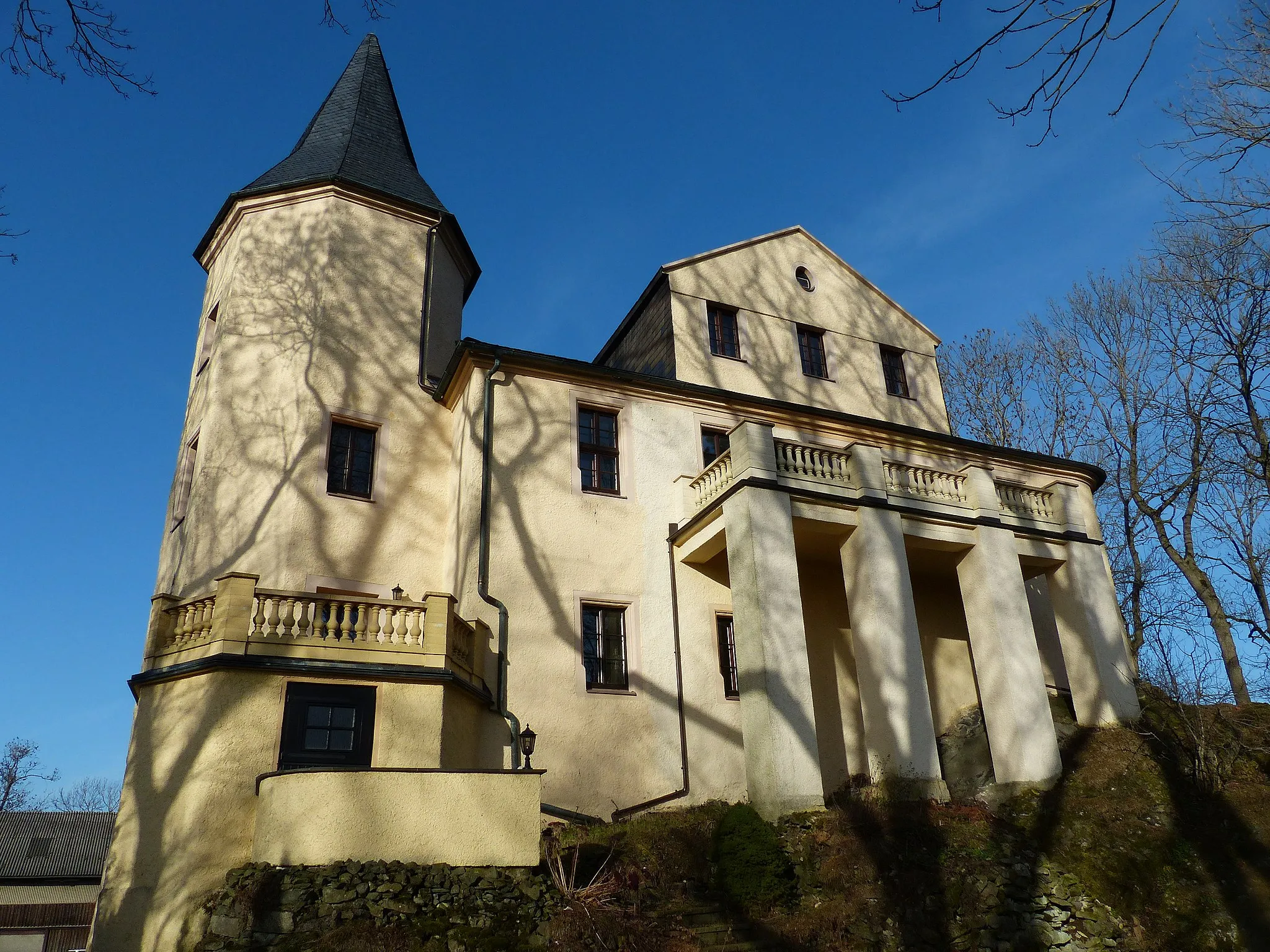
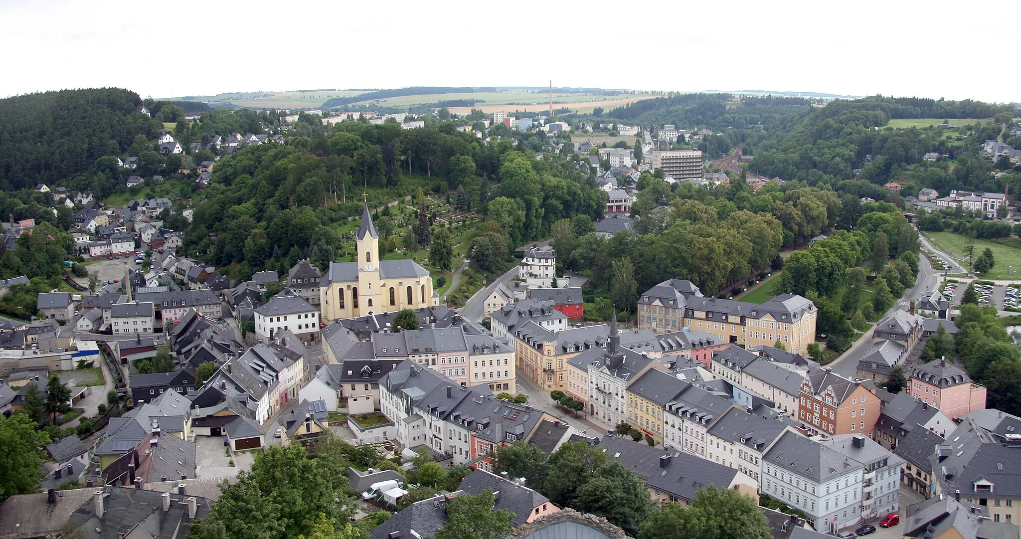
Start: Naila City centerNaila: Discover a hidden gem in Naila.
Naila, located in Oberfranken, Germany, is an excellent cycling destination for road and gravel cyclists. The region offers a variety of scenic landscapes and well-maintained roads, making it a perfect choice for cyclists. Naila is surrounded by hills and forests, providing a tranquil and refreshing environment. Cyclists can venture through picturesque routes and explore the beauty of the region. Although Naila does not boast any world-famous climbs, it appeals to cyclists who enjoy exploring lesser-known cycling spots.11 km
11 km
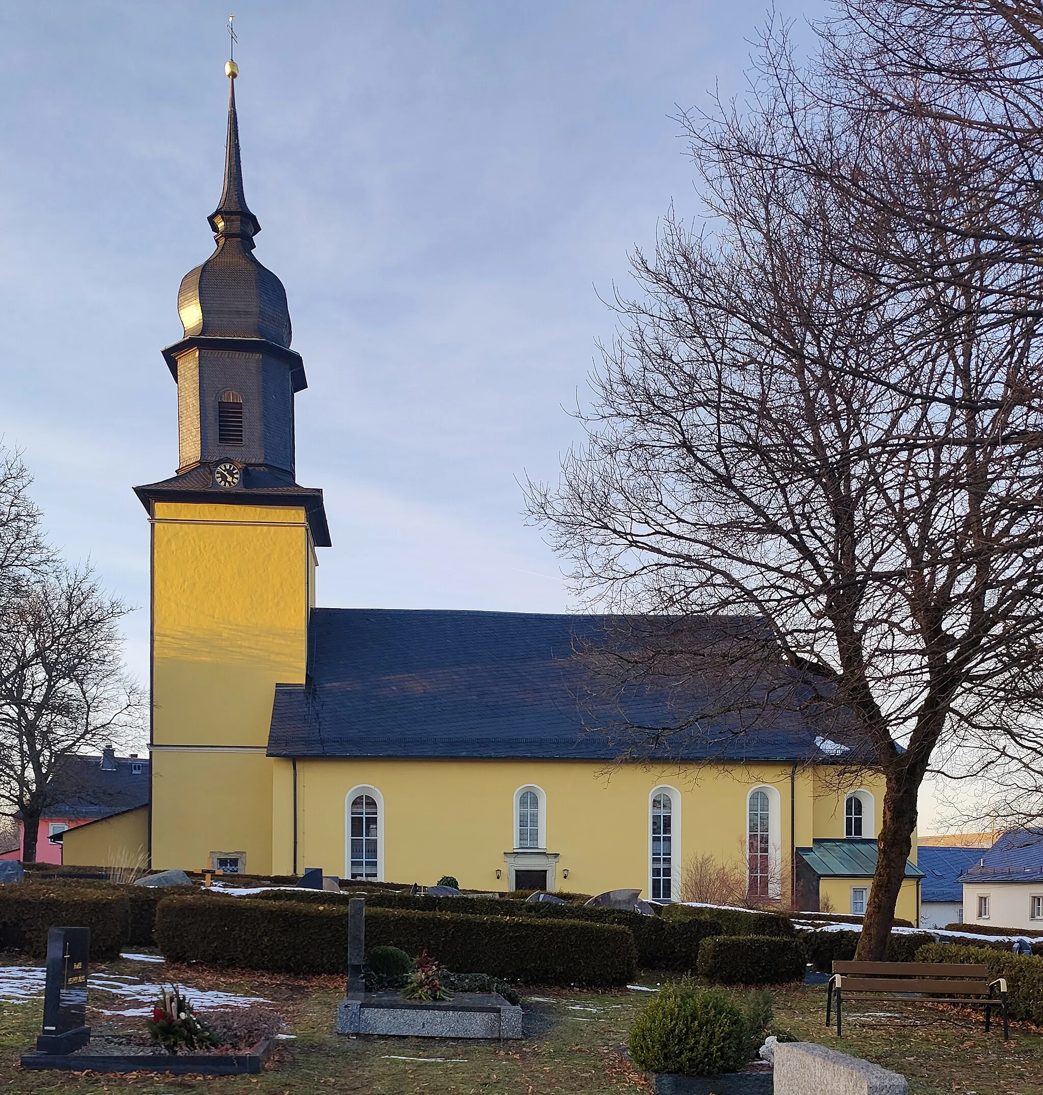
GeroldsgrünVillageGeroldsgrün is a picturesque town located in the heart of Oberfranken. Its beautiful landscapes and traditional architecture are worth a stop.
13 km
13 km
KämmleinsfelsenViewpointKämmleinsfelsen is a remarkable rock formation that provides incredible views of the surrounding forest. It's an excellent spot to rest and enjoy the natural beauty.
26 km
26 km
Bromberg598 mPeakAs you ride through Bromberg, you'll be greeted by rolling hills and expansive meadows. Take a moment to appreciate the tranquil atmosphere.
35 km
35 km
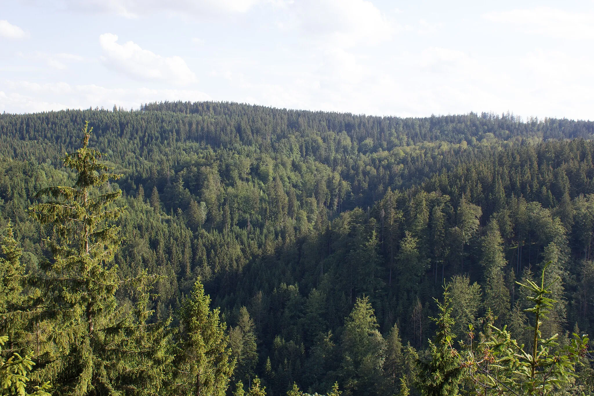
TschirnVillageTschirn is a peaceful village tucked away in the Franconian Forest. Pass through its charming streets and admire the quiet countryside.
55 km
55 km
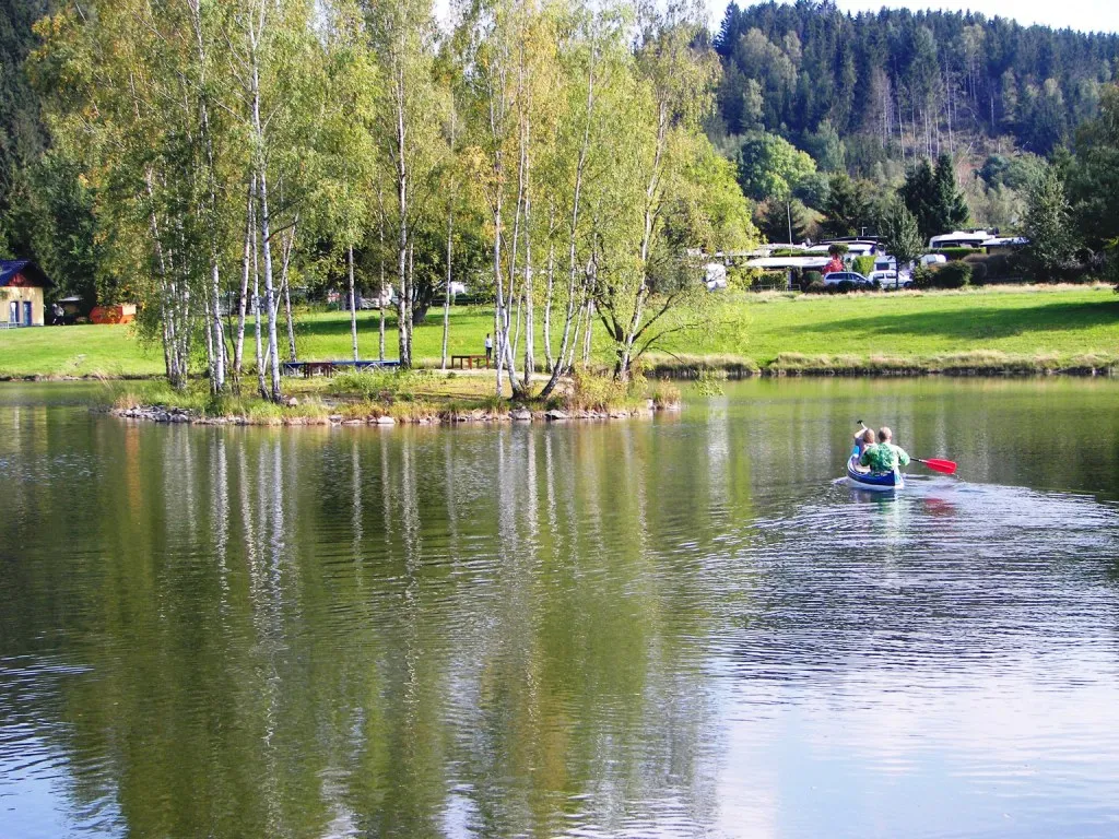
LehestenTownLehesten is known for its breathtaking natural scenery. Cycle through this hidden gem and take in the stunning landscapes.
58 km
58 km
Culm714 mPeakCulm offers panoramic views of the surrounding forest. Take a break and enjoy the remarkable vistas.
72 km
72 km
Söllhügel689 mPeakSöllhügel is another scenic spot along the route that offers stunning views. Take a moment to relax and soak in the beauty of the area.
82 km
82 km
LichtenbergTownLichtenberg is a charming town nestled in the heart of Oberfranken. Explore its cultural heritage and discover its architectural gems.
89 km
89 km
Naila-FroschgrünSub-urbNaila-Froschgrün marks the end of the route. Celebrate your accomplishments and explore the town's vibrant atmosphere.
90 km
90 km
Finish: Naila City centerNaila: Discover a hidden gem in Naila.
Cycling routes from Naila:
Around Jean-Paul-Felsen Scenic Feilitzsch Loop Challenging Tour Through Oberfranken Adventure through Naila's Surroundings Discovering Helmbrechts and Beyond Hilly Loop to Platte and Schnaid The Lippertsgrün Escape Gravel Exploration near Naila Short and Sweet Hexenhaus Ride Scenic Loop to Bernstein am Wald and Tschirn Franken Forest Adventure Gravel Adventure around Naila
Cycling routes nearby: