Rolling Hills Gravel Loop
A gravel cycling route starting from Stockheim
Embark on an exhilarating 91-kilometer gravel journey through the rolling hills near Stockheim
Map
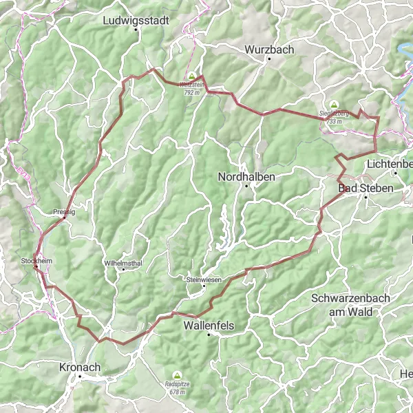
Discover the stunning natural beauty of Stockheim and its surroundings on this challenging 91-kilometer gravel loop. With a total ascent of 1569 meters, this route is designed for experienced gravel riders seeking a thrilling adventure. Immerse yourself in the breathtaking landscapes as you pedal through lush forests, cross crystal-clear streams, and conquer winding gravel roads. Along the way, you'll encounter charming villages, historic landmarks, and mesmerizing viewpoints. Don't miss the opportunity to experience cycling at its finest on this remarkable gravel route.
gravel
91 km
1569 m
Tough
Route profile
Highlights on the route
0 km
0 km
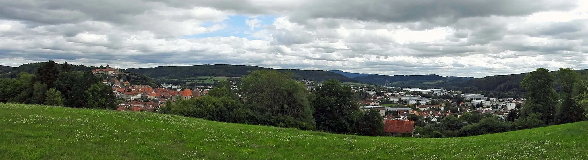
Start: Stockheim Village centerStockheim: Mix of scenery and cycling opportunities with access to the Frankenwald and the Main Valley.
Stockheim is a small town located in the Oberfranken region of Germany. From a cyclist's perspective, Stockheim offers a mix of scenery and cycling opportunities. The roads are generally in good condition, and there are several cycling routes that pass through the town. One notable cycling spot nearby is the Frankenwald, a picturesque mountain range that offers challenging climbs and panoramic views. Stockheim does not have any well-known climbs in its immediate vicinity, but it serves as a great base for exploring the surrounding area, including the Main Valley and the Thuringian Forest. Overall, Stockheim is a cyclist-friendly locality, with a rating of 3.5.0 km
0 km
StockheimVillageStart your journey in Stockheim, a small town known for its traditional Bavarian charm.
4 km
4 km
Eilaberg520 mPeakEilaberg takes you through a challenging climb rewarded with stunning panoramic views of the surrounding countryside.
17 km
17 km
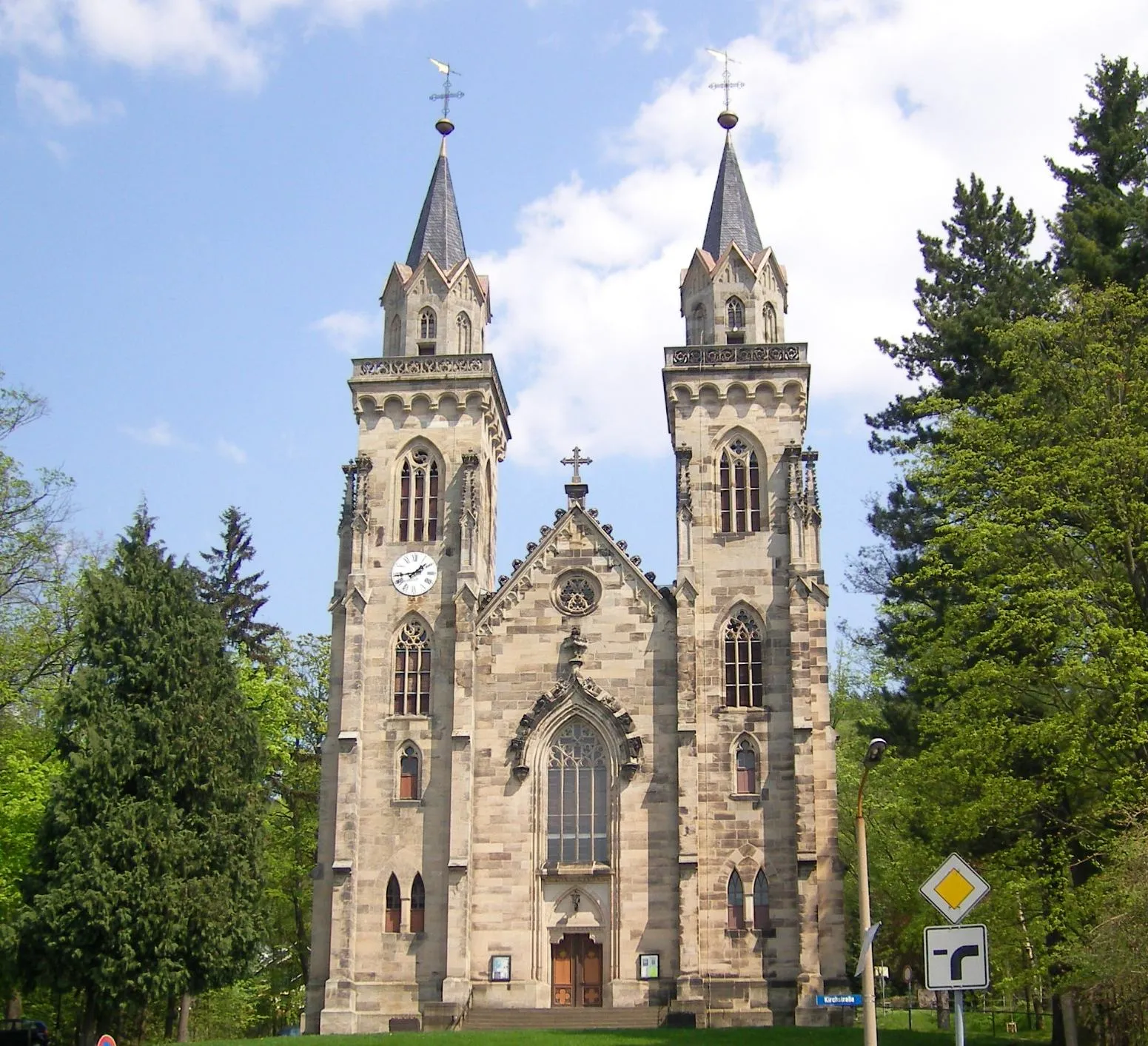
Steinbach am WaldVillageSteinbach am Wald is a quaint village with beautiful half-timbered houses and a charming atmosphere.
24 km
24 km
Wetzstein792 mPeakWetzstein is a rock formation that offers breathtaking views of the surrounding landscape. Take a moment to soak in the natural beauty.
32 km
32 km
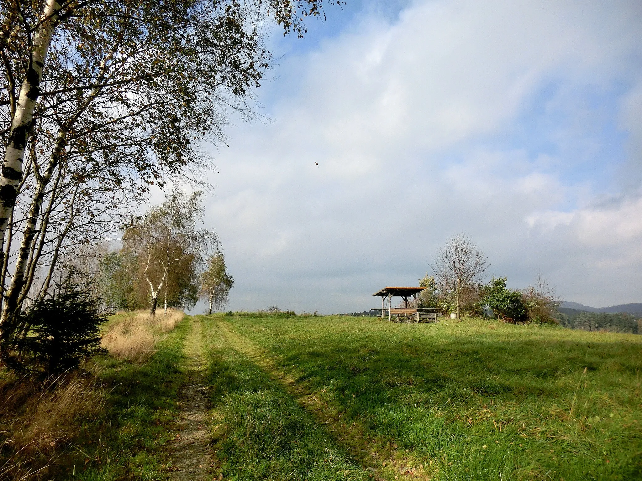
RodacherbrunnShelterRodacherbrunn is a small village nestled in the midst of rolling hills. Enjoy the tranquility and beauty of this hidden gem.
47 km
47 km
MarienbergViewpointMarienberg is a historic castle perched on a hilltop, offering commanding views of the surrounding countryside. Take a moment to explore its fascinating history.
57 km
57 km
GeroldsgrünVillageGeroldsgrün is a charming village with traditional Bavarian architecture. Explore its quaint streets and immerse yourself in its rich history.
61 km
61 km
Rauheberg673 mPeakRauheberg rewards you with stunning panoramic vistas of the scenic countryside. Take a break and enjoy the breathtaking views.
78 km
78 km
Hohe Wart468 mPeakHohe Wart is a renowned viewpoint that offers spectacular views spanning miles and miles of rolling hills and charming villages.
86 km
86 km
GlosbergVillageGlosberg takes you through a challenging climb with rewarding views and lush forests along the way.
91 km
91 km
Finish: Stockheim Village centerStockheim: Mix of scenery and cycling opportunities with access to the Frankenwald and the Main Valley.
Cycling routes from Stockheim:
Hasenberg Gravel Ride Discovering Coburg's Surroundings Adventurous Road Cycling Experience Challenging Hilly Adventure Mountainous Gravel Reward Stockheim - Obermain Loop Stockheim - Mainleus Adventure Gravel Discovery: Stockheim - Pressig Stockheim - Thuringian Discovery Gravel Adventure: Stockheim - Weidhausen Rolling Hills Gravel Loop Scenic Road Ride to Kronach
Cycling routes nearby: