Challenging Hilly Adventure
A road cycling route starting from Stockheim
Embark on a challenging cycling adventure through hilly terrains and picturesque landscapes.
Map
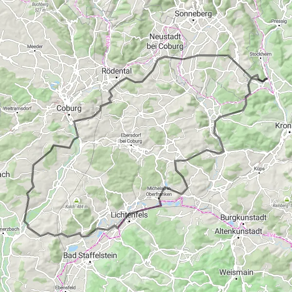
This road cycling route provides a challenging adventure through the hilly terrains and picturesque landscapes near Stockheim. With a distance of 98 kilometers and an elevation gain of 895 meters, it requires a higher level of fitness and determination. The route starts with the Mitwitzer Berg, where you can enjoy stunning hilltop views. As you proceed, you'll come across the tranquil village of Schneckenlohe and the enchanting town of Lichtenfels. Prepare for breathtaking panoramas at Maintalblick and Himmelreich. Pedal through the scenic Itzgrund and Creidlitz before conquering the Goldberg. Complete your ride by experiencing the exhilarating ascent of Stiefvater and riding through Neuhaus-Schierschnitz.
road
98 km
895 m
Tough
Route profile
Highlights on the route
0 km
0 km
Start: Haßlach b.Kronach Village centerStockheim: Mix of scenery and cycling opportunities with access to the Frankenwald and the Main Valley.
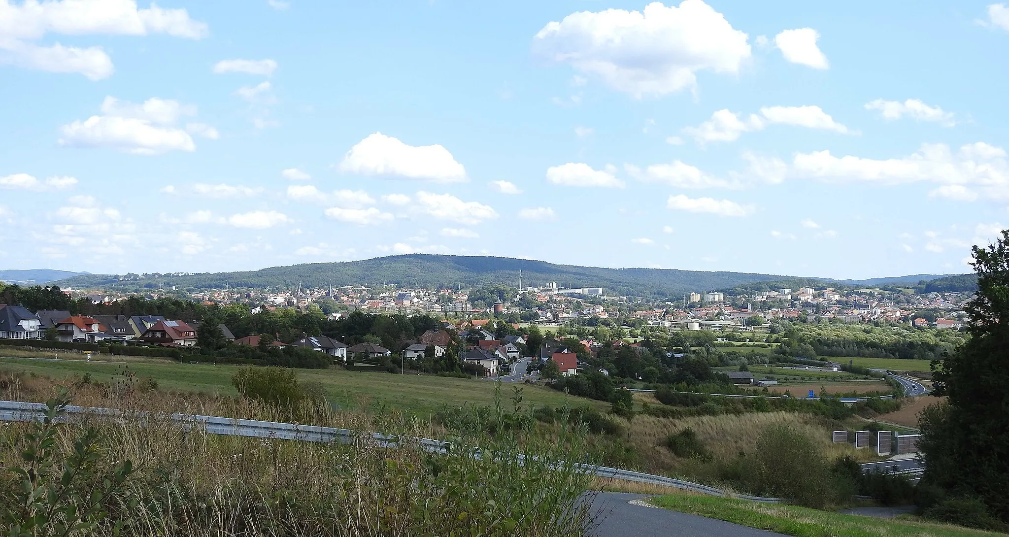
Stockheim is a small town located in the Oberfranken region of Germany. From a cyclist's perspective, Stockheim offers a mix of scenery and cycling opportunities. The roads are generally in good condition, and there are several cycling routes that pass through the town. One notable cycling spot nearby is the Frankenwald, a picturesque mountain range that offers challenging climbs and panoramic views. Stockheim does not have any well-known climbs in its immediate vicinity, but it serves as a great base for exploring the surrounding area, including the Main Valley and the Thuringian Forest. Overall, Stockheim is a cyclist-friendly locality, with a rating of 3.5.10 km
10 km
Mitwitzer Berg435 mPeakChallenge yourself with the ascent of Mitwitzer Berg and enjoy rewarding views.
16 km
16 km
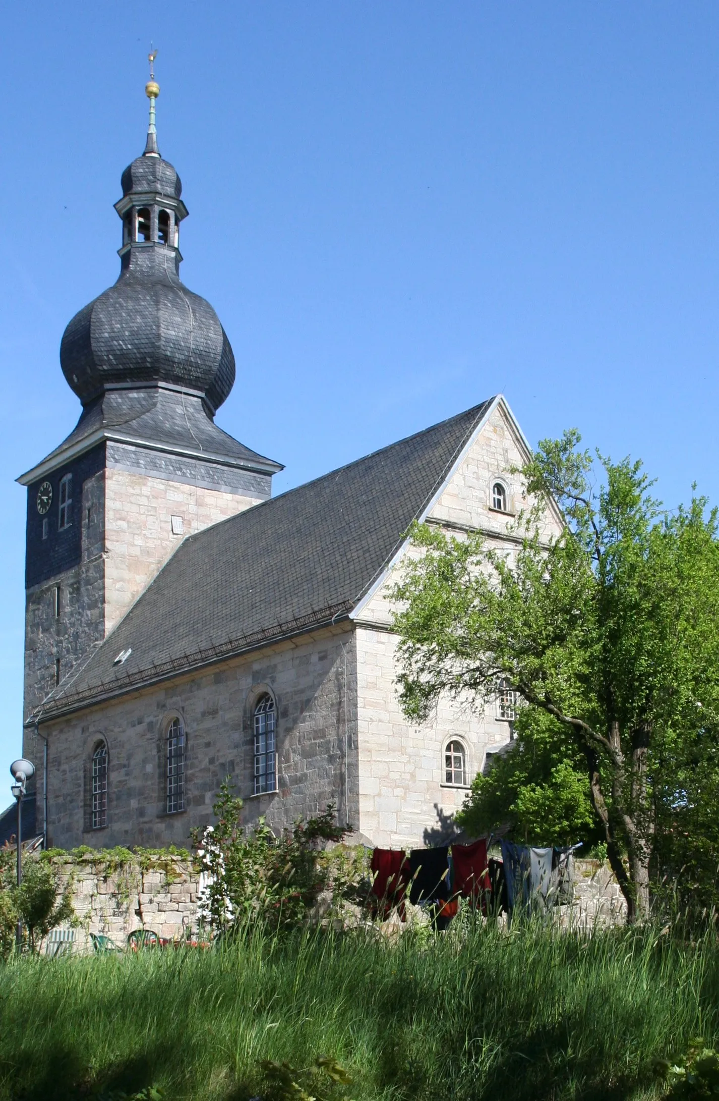
SchneckenloheVillagePass through the enchanting village of Schneckenlohe, surrounded by picturesque landscapes.
34 km
34 km
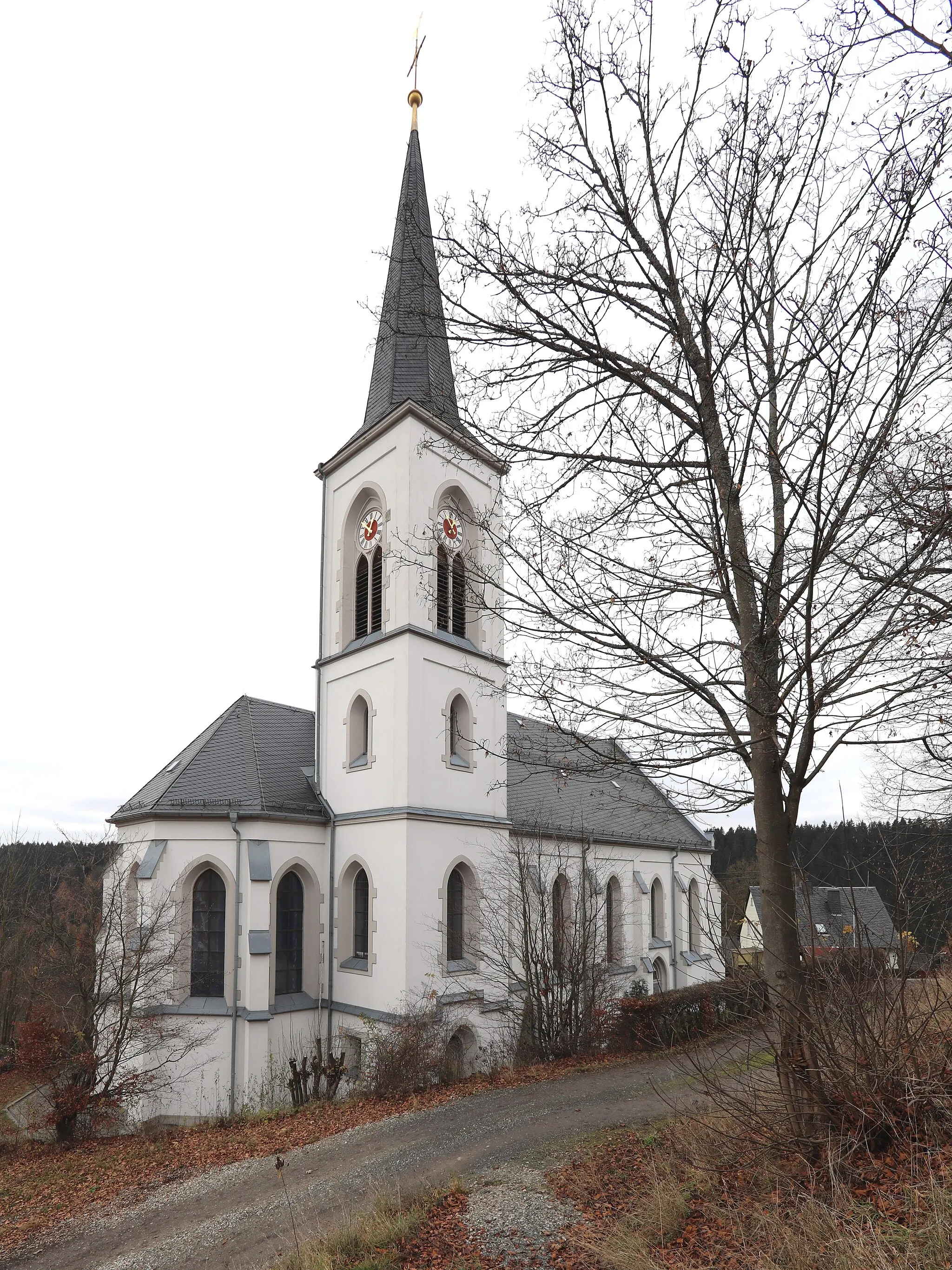
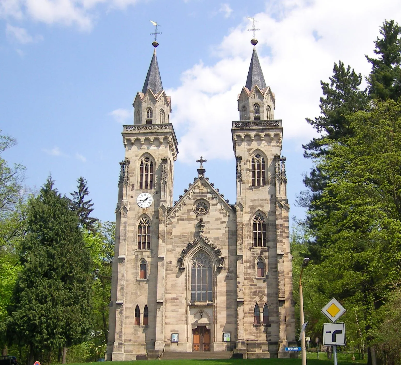
LichtenfelsTownExperience the rich history and architectural beauty of Lichtenfels.
41 km
41 km
MaintalblickViewpointAdmire the stunning panoramas at Maintalblick, offering fantastic views of the valley.
48 km
48 km
HimmelreichViewpointReach the peaceful Himmelreich, an oasis of tranquility amidst the hilly terrains.
51 km
51 km
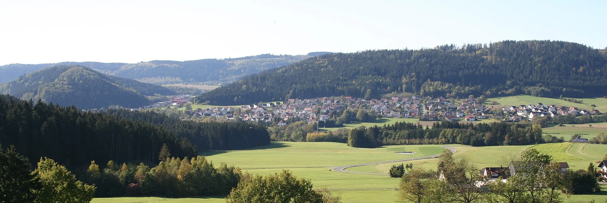
ItzgrundVillageMarvel at the serene beauty of Itzgrund as you cycle through this picturesque area.
65 km
65 km
CreidlitzVillagePedal through the captivating landscapes of Creidlitz, known for its scenic allure.
72 km
72 km
Goldberg374 mPeakConquer the challenging ascent of Goldberg and relish the sense of achievement.
80 km
80 km
Stiefvater461 mPeakGear up for the thrilling ascent of Stiefvater, testing your cycling prowess.
92 km
92 km
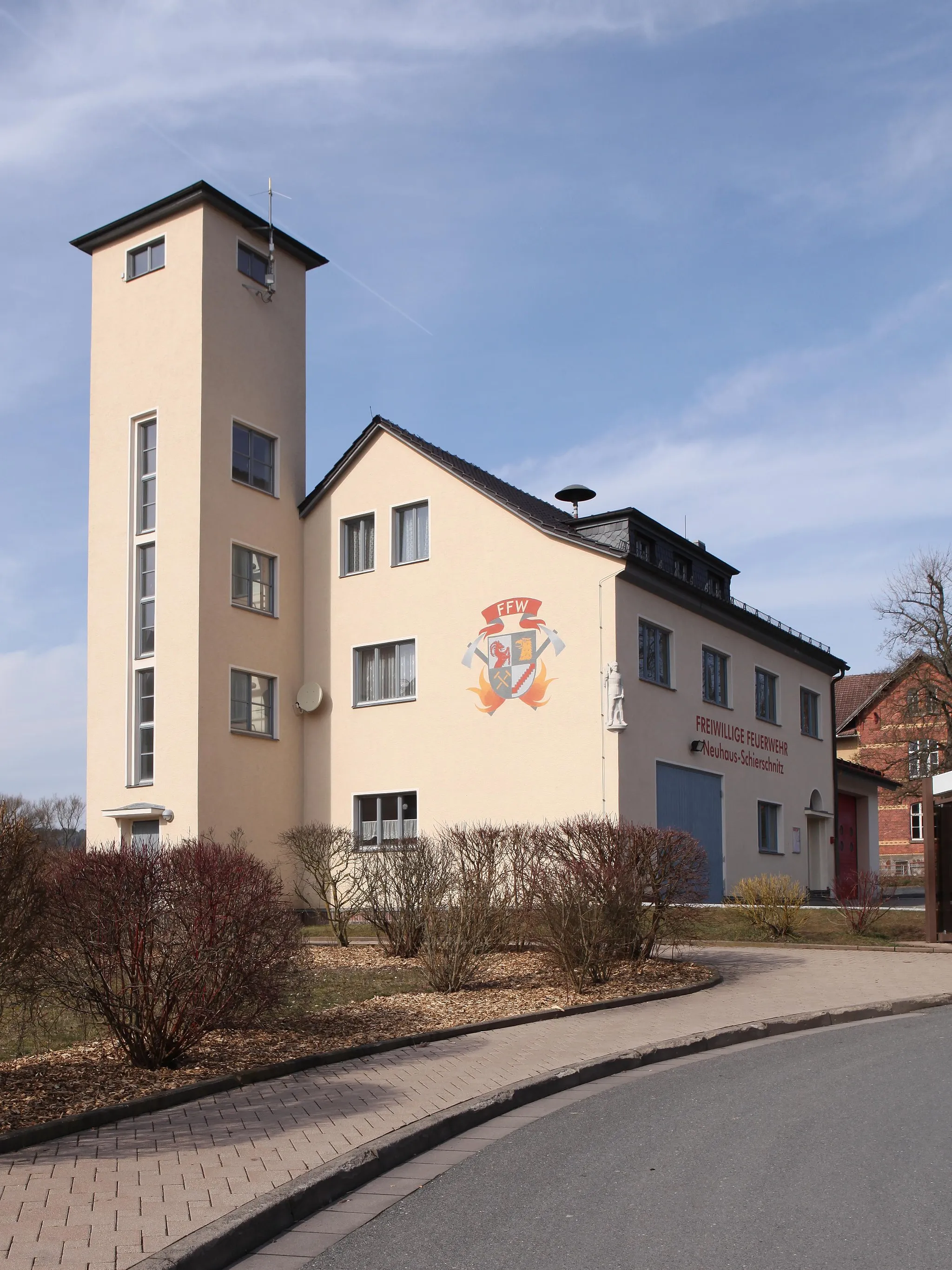
Neuhaus-SchierschnitzVillageComplete your hilly adventure by riding through Neuhaus-Schierschnitz and appreciate the beauty of the surroundings.
98 km
98 km
Finish: Haßlach b.Kronach Village centerStockheim: Mix of scenery and cycling opportunities with access to the Frankenwald and the Main Valley.
Cycling routes from Stockheim:
Hasenberg Gravel Ride Discovering Coburg's Surroundings Adventurous Road Cycling Experience Challenging Hilly Adventure Mountainous Gravel Reward Stockheim - Obermain Loop Stockheim - Mainleus Adventure Gravel Discovery: Stockheim - Pressig Stockheim - Thuringian Discovery Gravel Adventure: Stockheim - Weidhausen Rolling Hills Gravel Loop Scenic Road Ride to Kronach
Cycling routes nearby: