The One with Gravel and Forests
A gravel cycling route starting from Teuschnitz
Explore the rugged beauty of Teuschnitz and its surrounding areas on this adrenaline-pumping gravel bike adventure
Map
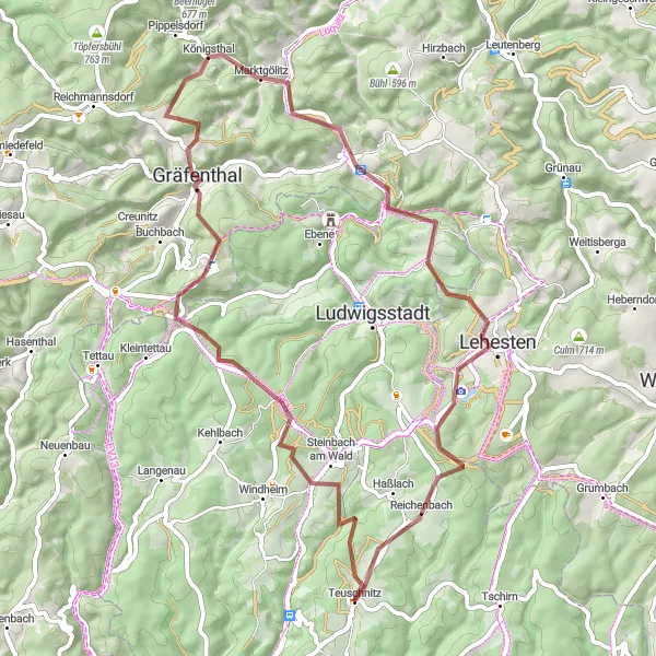
This gravel cycling route starting near Teuschnitz takes you through stunning forests and challenging terrains, offering a true off-road experience. Prepare to be amazed by the natural beauty of Steinbach am Wald, Suhle, Gräfenthal, Schmiedeberg, Probstzella, Hopfsberg, Eppenberg, and Reichenbach. With a total ascent of 1370 meters and covering a distance of 56 kilometers, this route promises an exciting and physically demanding ride.
gravel
56 km
1370 m
Tough
Route profile
Highlights on the route
0 km
0 km
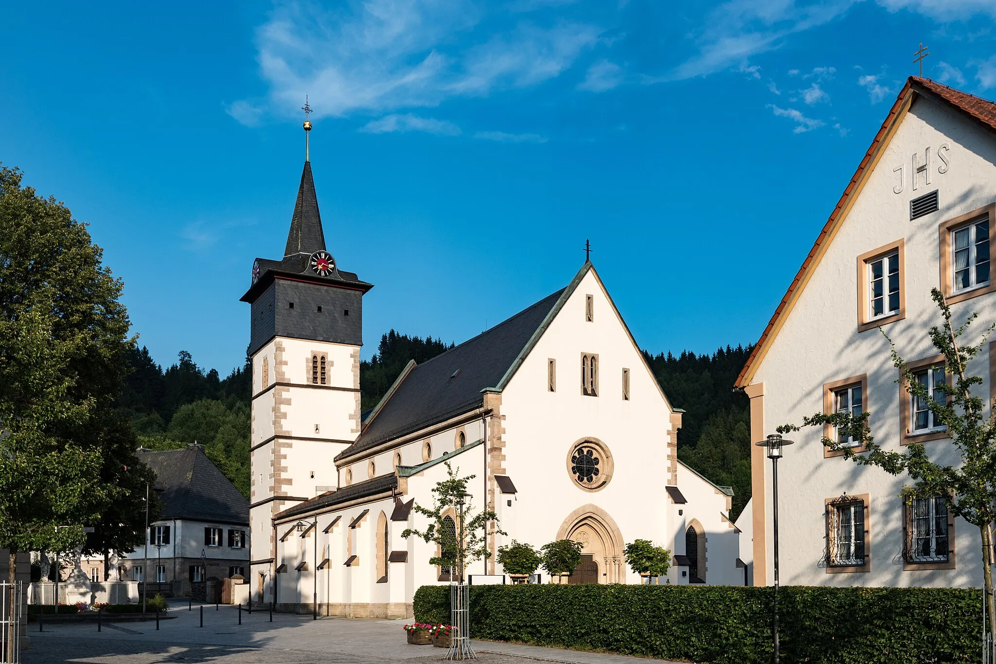
Start: Teuschnitz Village centerTeuschnitz: Teuschnitz - Epic Climbs and Gravel Adventures in Franconian Forest
Teuschnitz is a small town in Oberfranken, Germany. From a cyclist's perspective, Teuschnitz offers a mix of road cycling and gravel cycling routes. The surrounding region is known for its challenging climbs in the Franconian Forest. Nearby, cyclists can find the famous Steinachtal cycle path, offering stunning views of the Steinach River. Teuschnitz is a must-visit destination for cyclists seeking epic climbs and thrilling off-road adventures.5 km
5 km
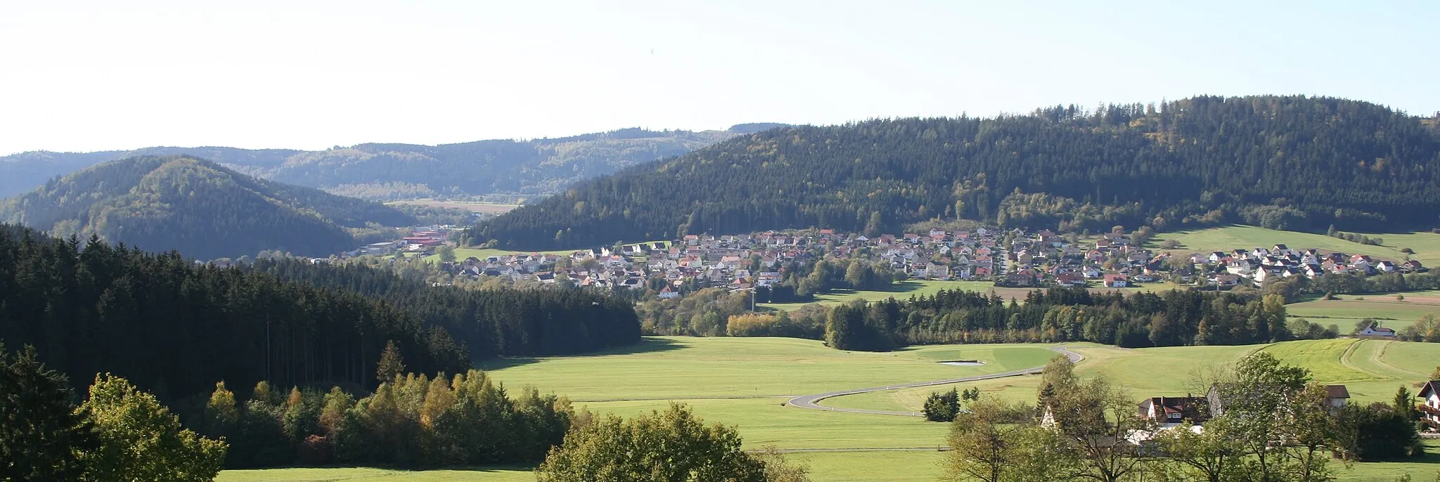
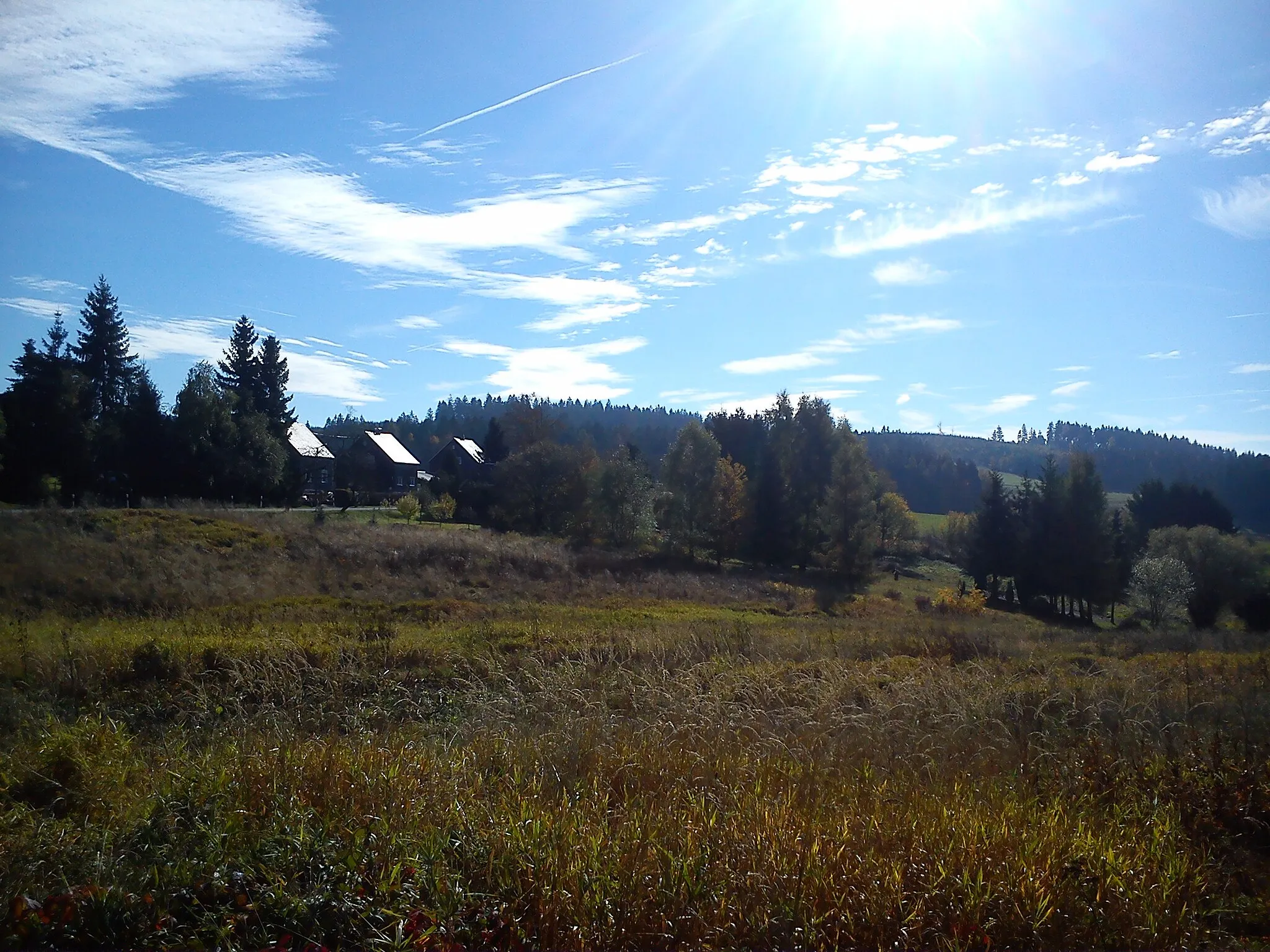
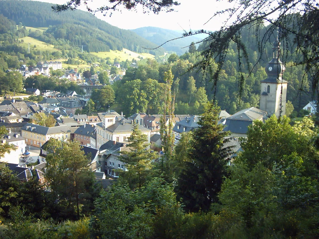
Steinbach am WaldVillageSteinbach am Wald offers breathtaking views of the surrounding forests and is perfect for a quick rest and recharge
14 km
14 km
Suhle748 mPeakDiscover the hidden gem of Suhle, a tranquil village surrounded by picturesque landscapes
21 km
21 km
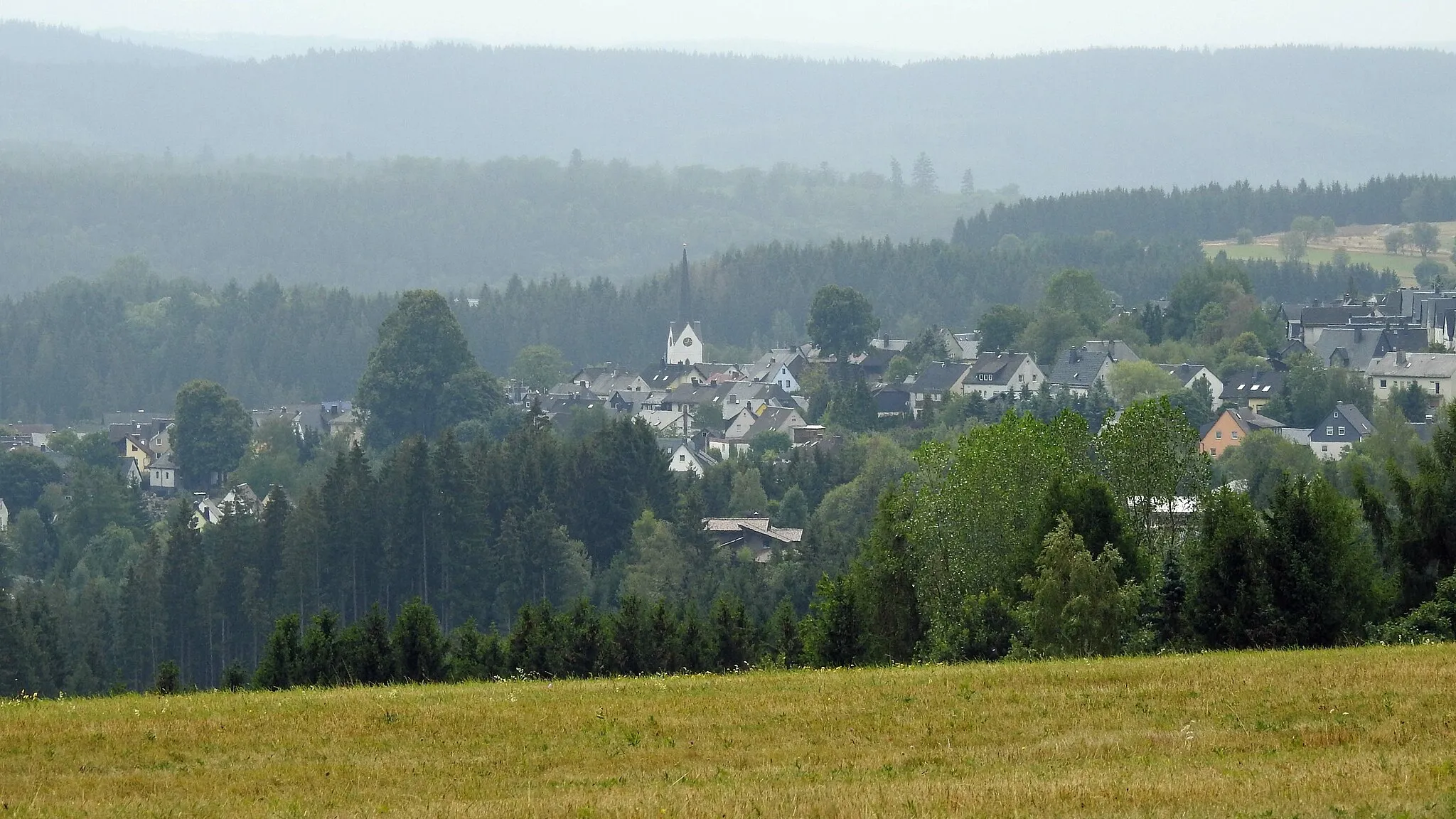
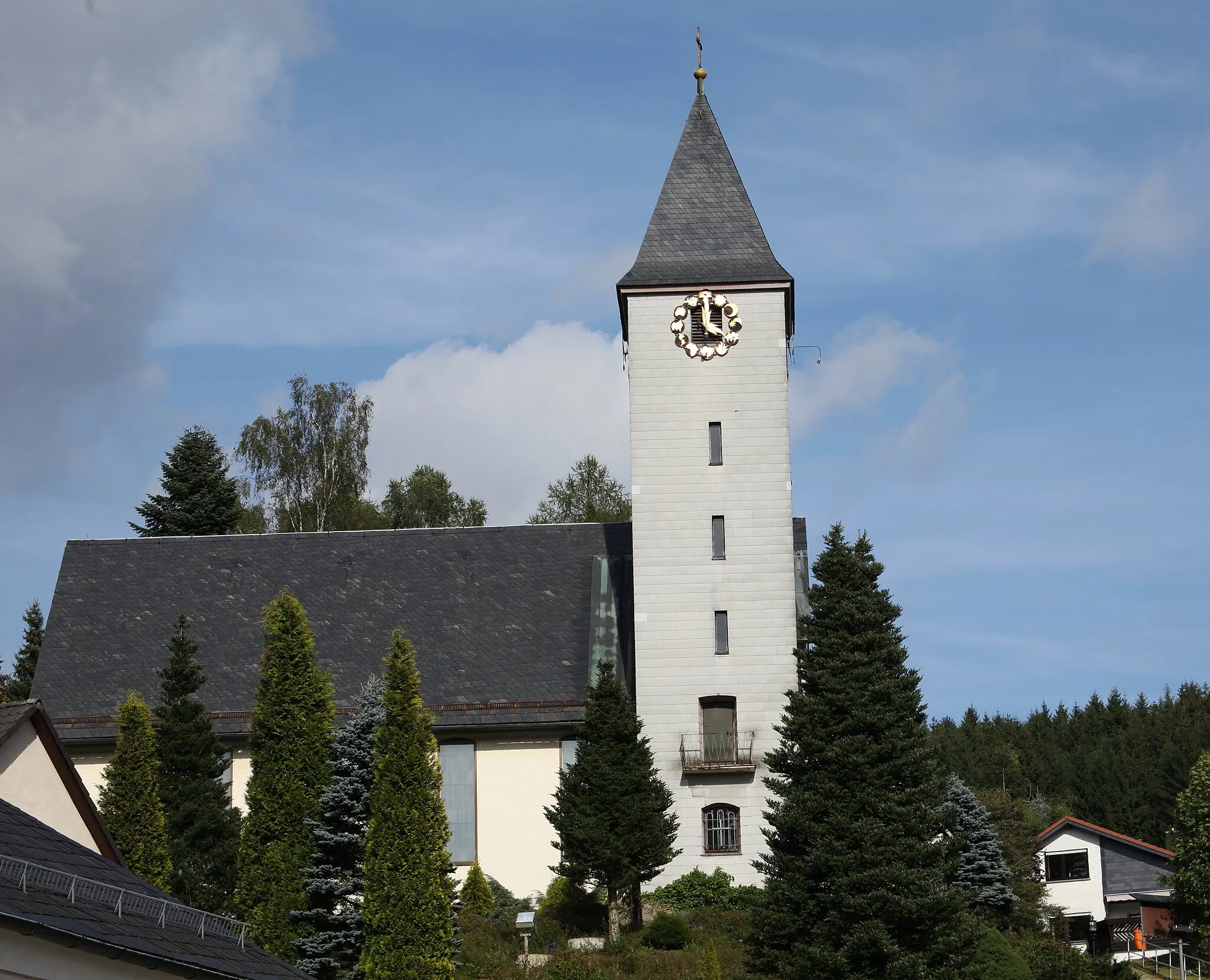
GräfenthalTownGräfenthal is a charming Bavarian town known for its traditional architecture and warm hospitality
27 km
27 km
Schmiedeberg570 mPeakSchmiedeberg is situated on the edge of the serene Hochsteinkette Nature Reserve, offering a peaceful retreat for nature lovers
34 km
34 km
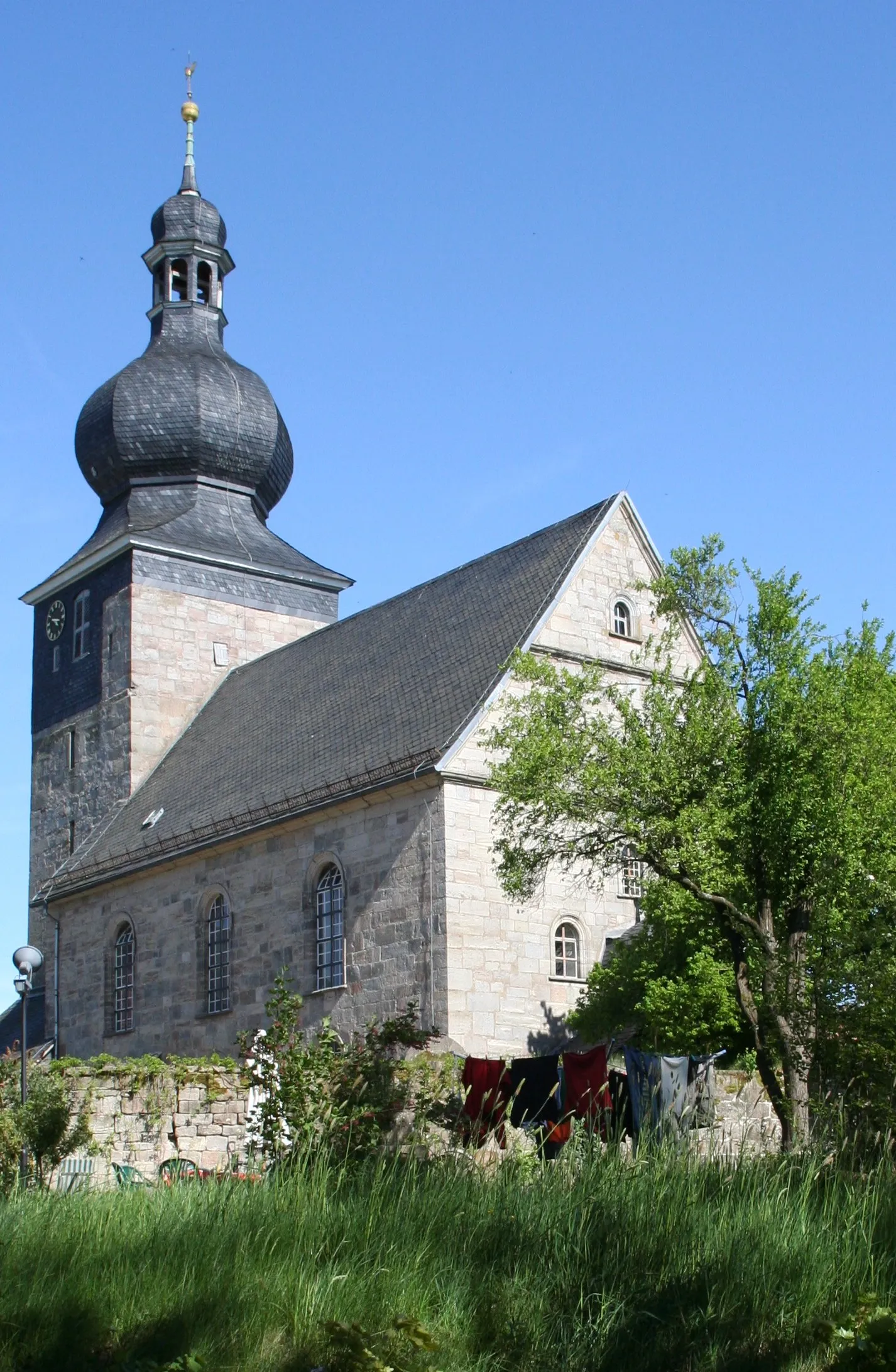
ProbstzellaVillageProbstzella is home to the historic rail viaduct 'Brandleite,' a masterpiece of engineering
36 km
36 km
Hopfsberg508 mPeakHopfsberg invites cyclists to take a moment to appreciate its idyllic countryside views before continuing the journey
49 km
49 km
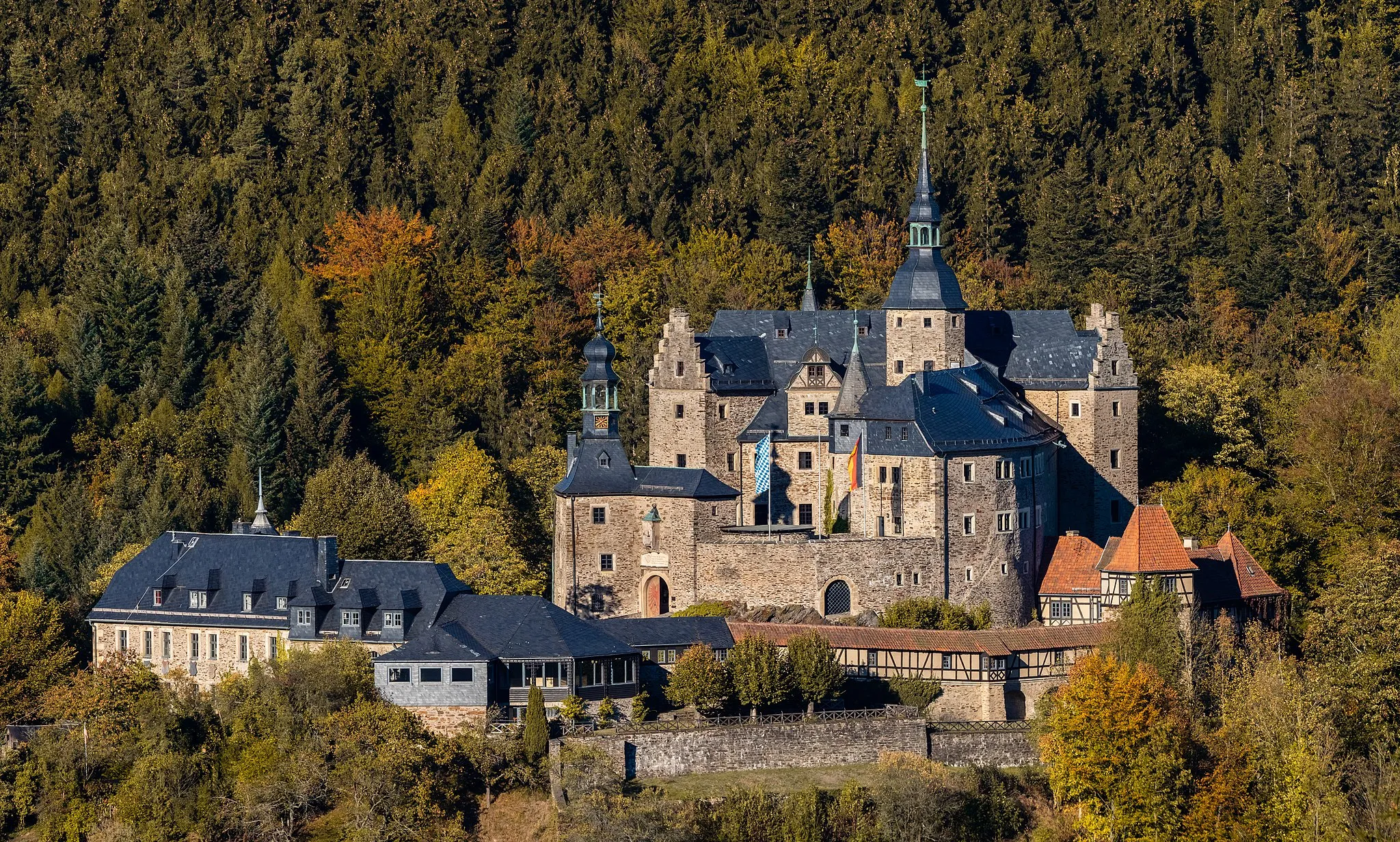
Eppenberg733 mPeakEppenberg boasts a magnificent castle perched on top of a hill, providing a captivating backdrop
52 km
52 km
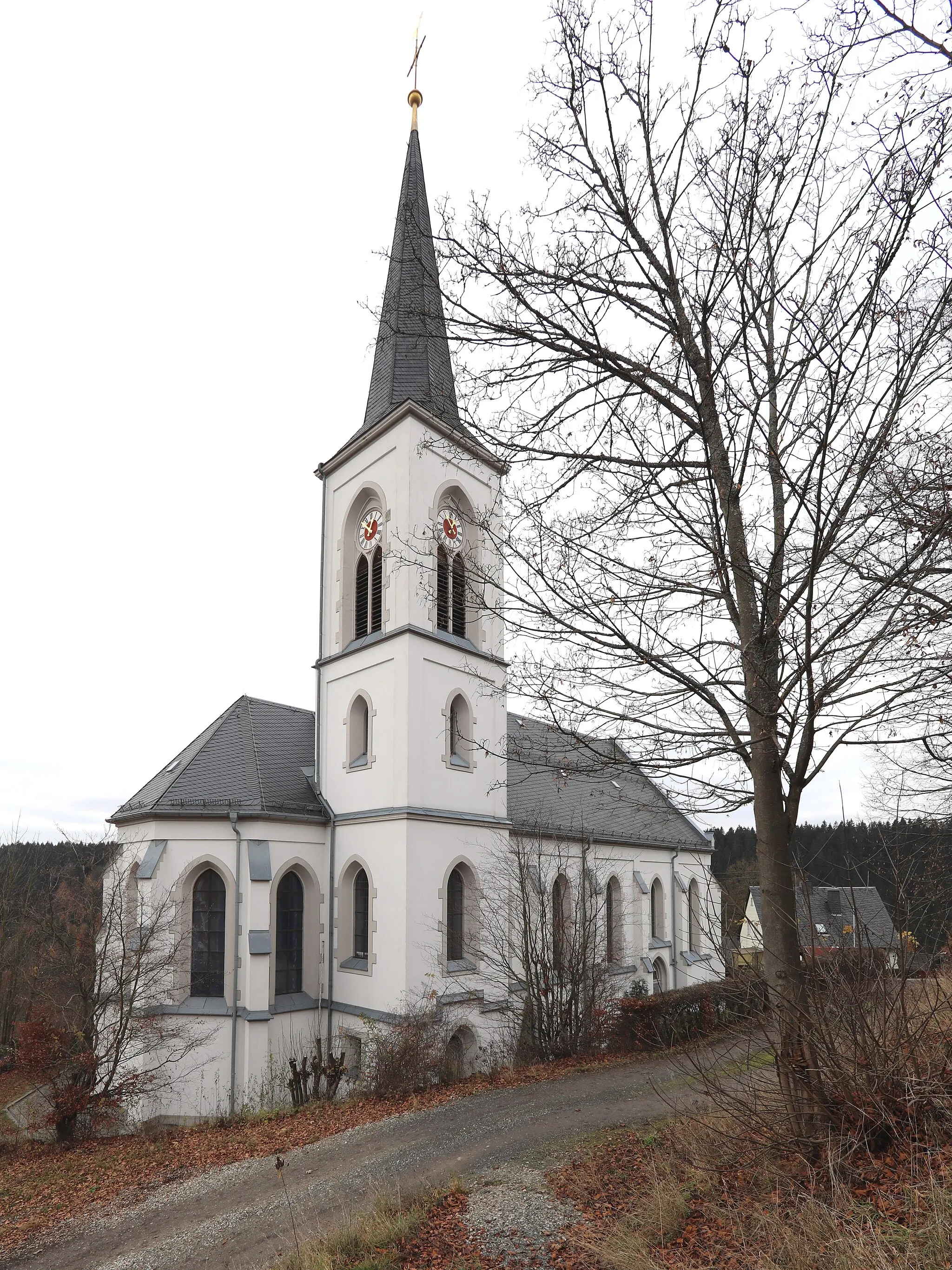
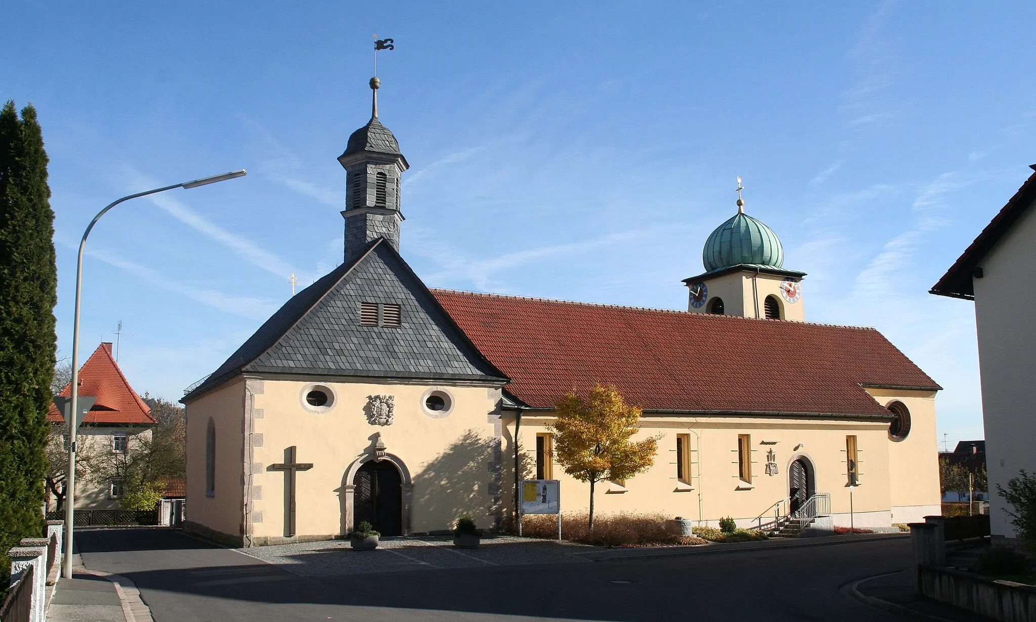
ReichenbachVillageReichenbach is a charming town famous for its traditional beer gardens and delicious local cuisine
56 km
56 km
Finish: Teuschnitz Village centerTeuschnitz: Teuschnitz - Epic Climbs and Gravel Adventures in Franconian Forest
Cycling routes from Teuschnitz:
Tschirn-Wirtsberg-Reuthügel-Teuschnitz Pressig-Müllersberg-Steinheid-Kieferle-Neuhaus am Rennweg Gravel Adventure Teuschnitz Hills The One with Gravel and Forests The Ultimate Road Challenge Gravel Escape Tschirn-Mühlberg-Haidekoppe-Wurzbach-Teuschnitz Scenic Road Delight Rothenkirchen-Langenauer Höhe-Tettau-Apelsberg-Paulinzella-Teuschnitz Oberfranken Adventure
Cycling routes nearby: