Tschirn-Mühlberg-Haidekoppe-Wurzbach-Teuschnitz
A road cycling route starting from Teuschnitz
A scenic road cycling route through idyllic landscapes and charming towns
Map
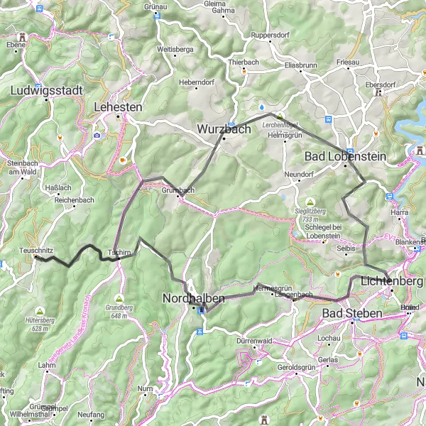
Embark on a 68 km road cycling route through Tschirn, Mühlberg, Haidekoppe, Wurzbach, Teuschnitz, and more. With an ascent of 1,597 m, this route provides a challenging yet rewarding cycling experience. Enjoy the picturesque landscapes, explore beautiful towns, and immerse yourself in the natural beauty of the Oberfranken region.
road
68 km
1597 m
Tough
Route profile
Highlights on the route
0 km
0 km
Start: Teuschnitz Village centerTeuschnitz: Teuschnitz - Epic Climbs and Gravel Adventures in Franconian Forest
Teuschnitz is a small town in Oberfranken, Germany. From a cyclist's perspective, Teuschnitz offers a mix of road cycling and gravel cycling routes. The surrounding region is known for its challenging climbs in the Franconian Forest. Nearby, cyclists can find the famous Steinachtal cycle path, offering stunning views of the Steinach River. Teuschnitz is a must-visit destination for cyclists seeking epic climbs and thrilling off-road adventures.6 km
6 km
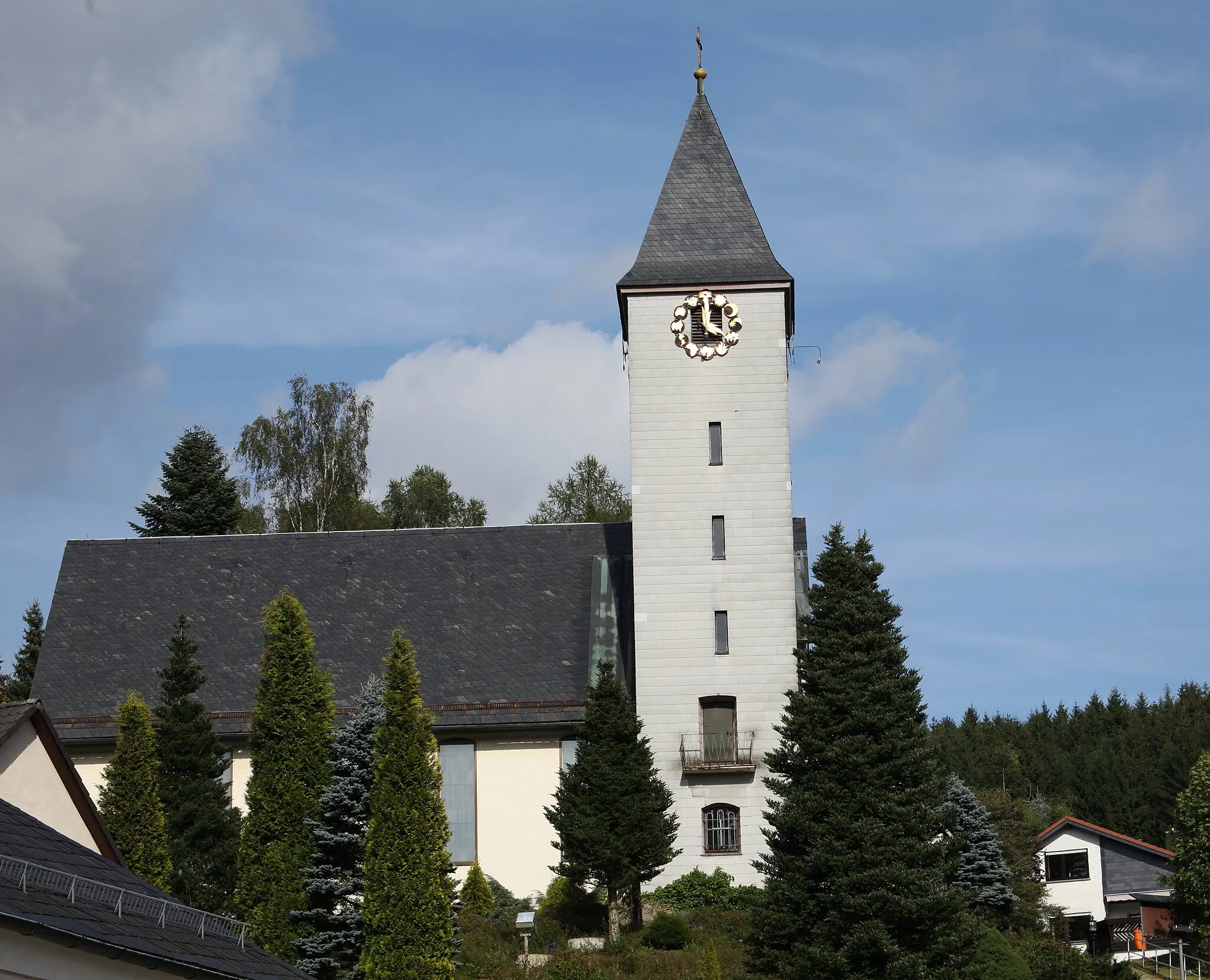
TschirnVillageTschirn is a small village with traditional Franconian architecture and charming streets. Take a moment to wander through the town and admire its unique beauty.
11 km
11 km
Mühlberg699 mPeakMühlberg is surrounded by lush forests and scenic landscapes. Enjoy the tranquil atmosphere and take a break in the serenity of nature.
18 km
18 km
Haidekoppe617 mPeakHaidekoppe offers stunning views of the surrounding countryside. Pause and appreciate the panoramic vistas before continuing your journey.
19 km
19 km
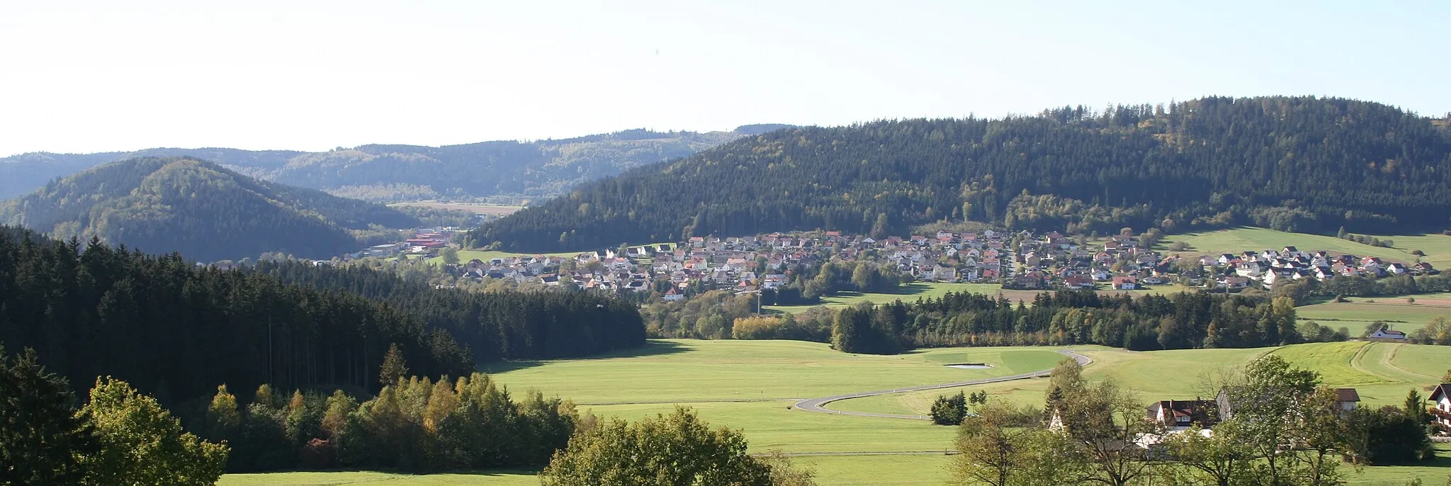
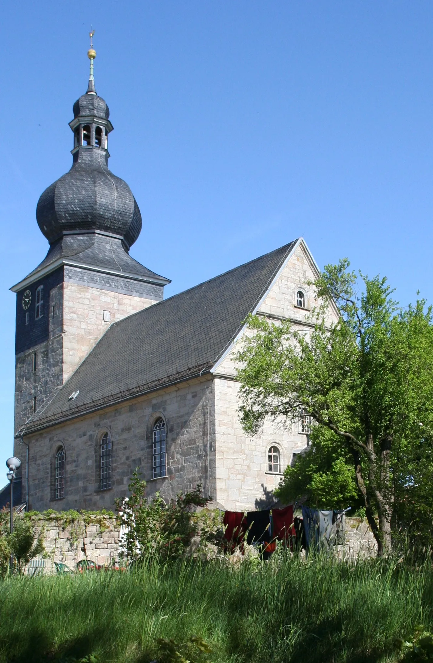
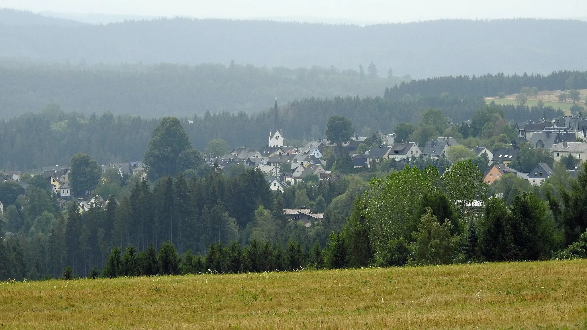
WurzbachTownWurzbach is a charming town known for its historic buildings and beautiful architecture. Explore the town and discover its hidden gems.
35 km
35 km
Wiesbühl624 mPeakWiesbühl is a quaint village surrounded by picturesque landscapes. Enjoy the peaceful ambiance and take a moment to relax in this idyllic setting.
38 km
38 km
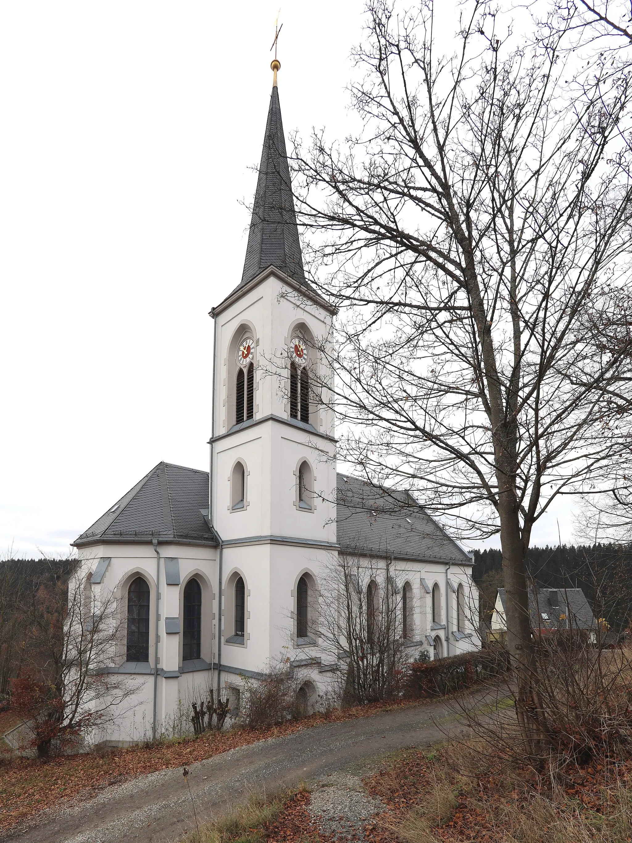
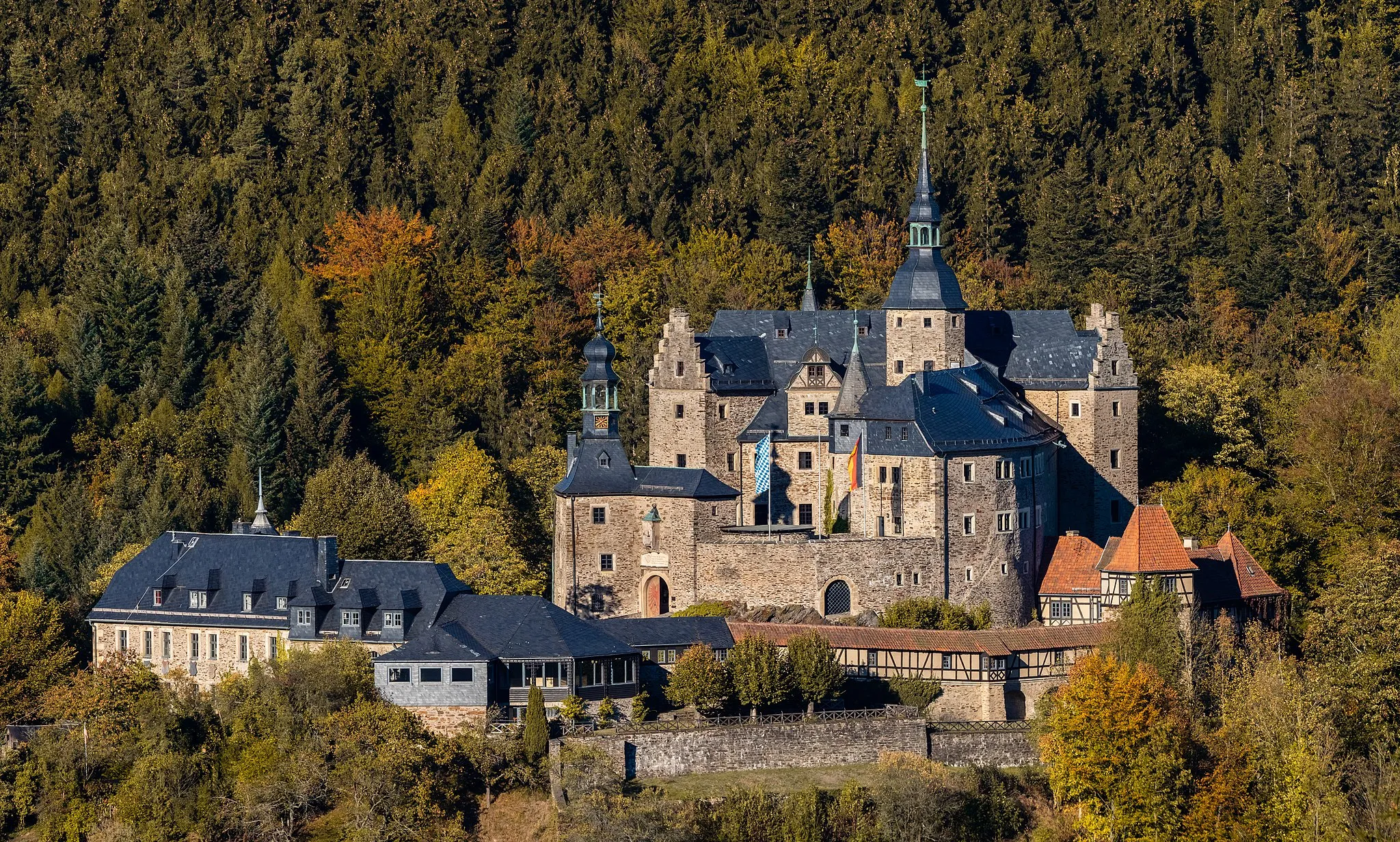
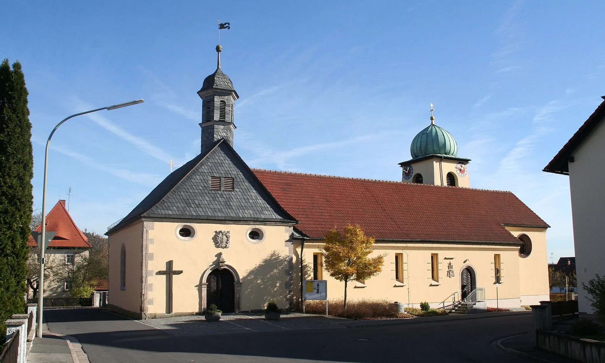
LichtenbergTownLichtenberg is home to a medieval castle with fascinating history and beautiful architecture. Visit the castle and transport yourself back in time.
47 km
47 km
Veiteknock707 mPeakVeiteknock is a popular lookout point offering panoramic views of the surrounding forests. Take a break and enjoy the natural beauty of the area.
54 km
54 km
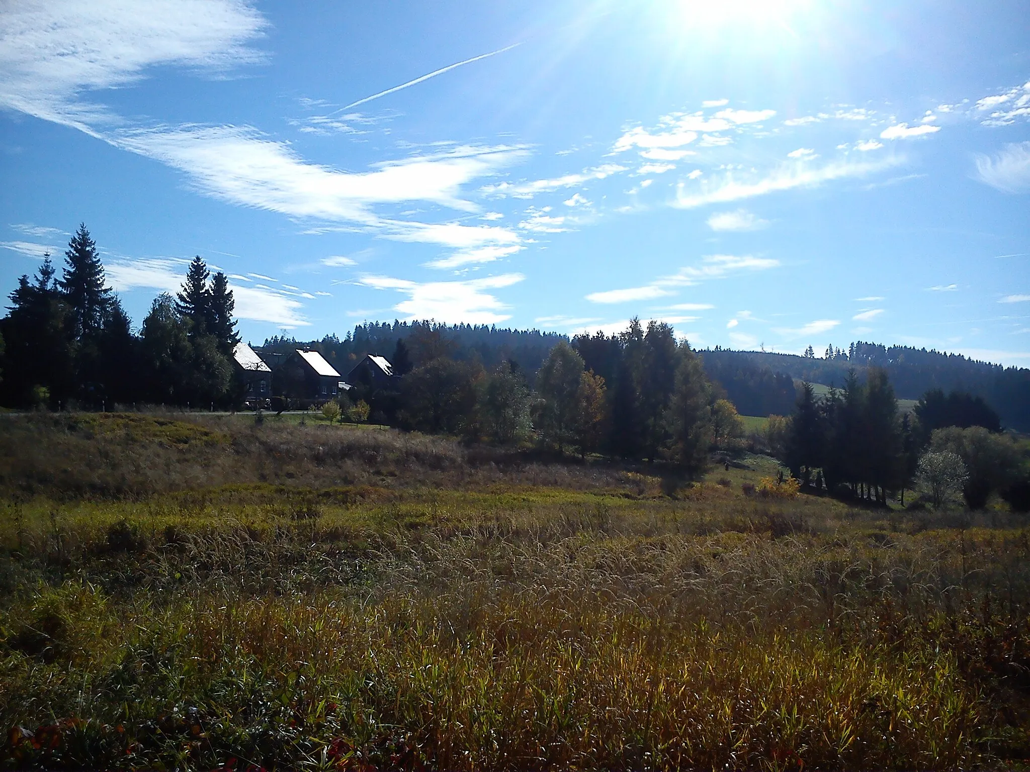
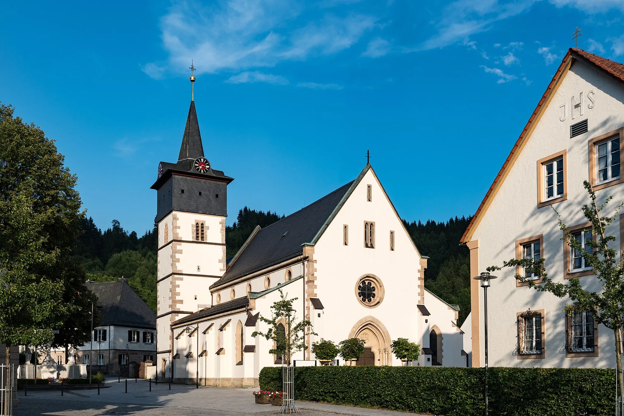
NordhalbenTownNordhalben is a charming village nestled amidst beautiful forests and rolling hills. Explore the town and soak in the serene atmosphere.
68 km
68 km
TeuschnitzVillageTeuschnitz, the starting and ending point of this route, is a town with a rich heritage and beautiful architecture. Discover its hidden treasures.
68 km
68 km
Finish: Teuschnitz Village centerTeuschnitz: Teuschnitz - Epic Climbs and Gravel Adventures in Franconian Forest
Cycling routes from Teuschnitz:
Tschirn-Wirtsberg-Reuthügel-Teuschnitz Pressig-Müllersberg-Steinheid-Kieferle-Neuhaus am Rennweg Gravel Adventure Teuschnitz Hills The One with Gravel and Forests The Ultimate Road Challenge Gravel Escape Tschirn-Mühlberg-Haidekoppe-Wurzbach-Teuschnitz Scenic Road Delight Rothenkirchen-Langenauer Höhe-Tettau-Apelsberg-Paulinzella-Teuschnitz Oberfranken Adventure
Cycling routes nearby: