The Ultimate Road Challenge
A road cycling route starting from Teuschnitz
Conquer an epic road cycling adventure near Teuschnitz with demanding climbs and spectacular vistas
Map
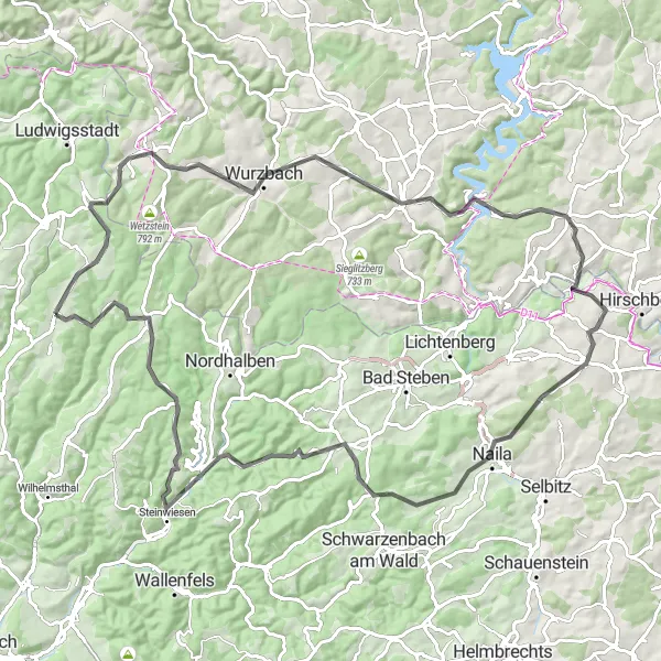
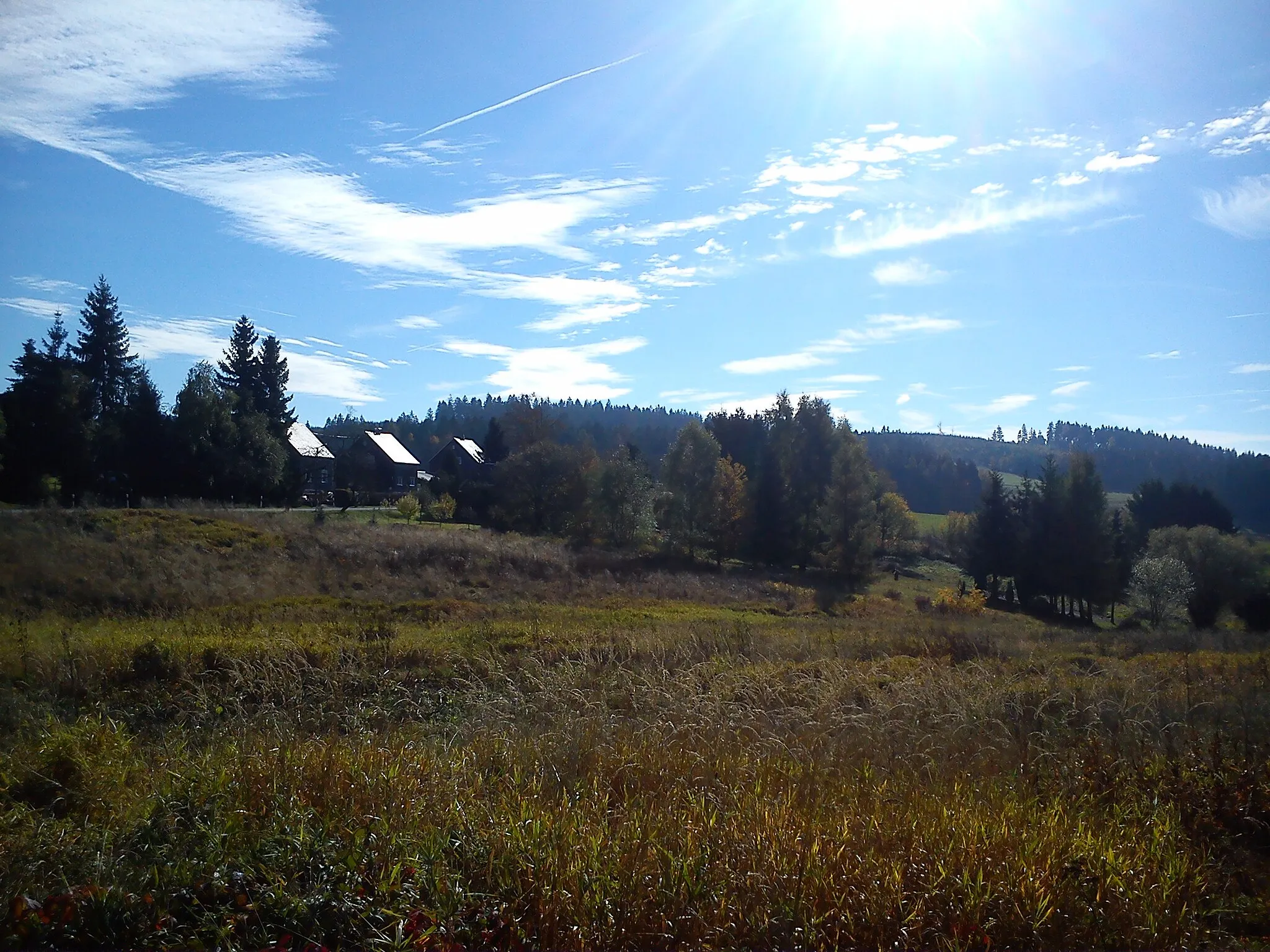
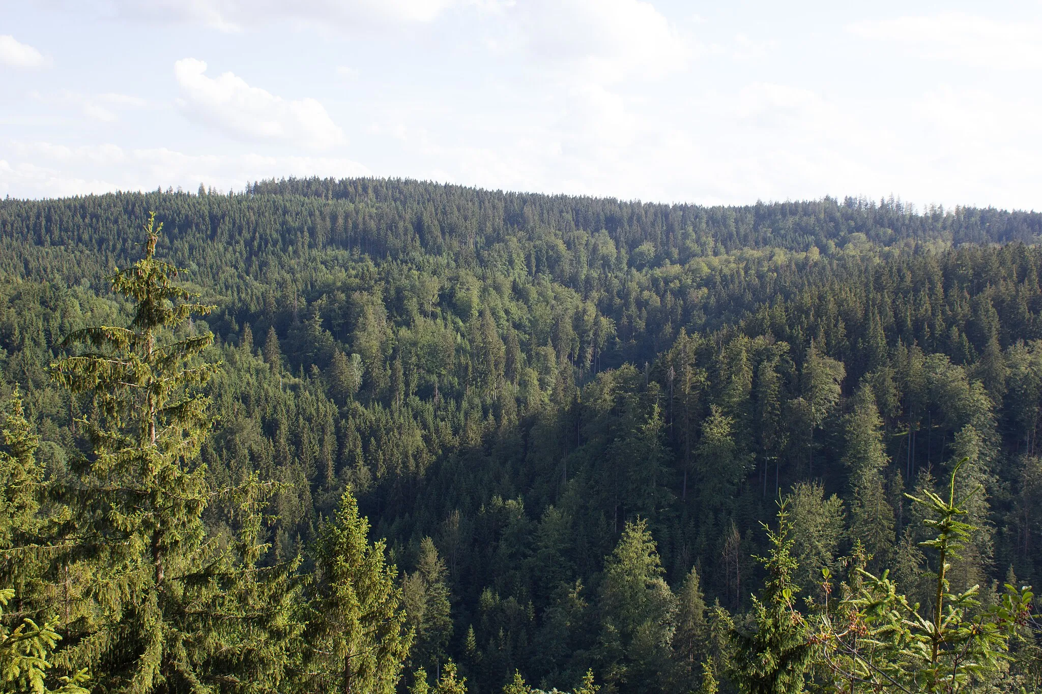
Prepare for an ultimate road cycling challenge near Teuschnitz as you tackle a 98-kilometer route that combines grueling ascents with awe-inspiring views. With a total ascent of 1911 meters, this route is tailored for experienced cyclists seeking a test of endurance. Immerse yourself in the captivating beauty of Lehesten, revel in the panoramic vistas from Culm, and explore the cultural heritage of Bad Lobenstein. Brace yourself for the demanding Rauher Bühl and Berg climbs, and soak in the stunning landscapes as you conquer Geroldsgrün. Take a moment to appreciate the Kämmleinsfelsen and Bromberg highlights before celebrating your triumph in Teuschnitz, where you can bask in the town's distinctive charm.
road
98 km
1911 m
Savage
Route profile
Highlights on the route
0 km
0 km
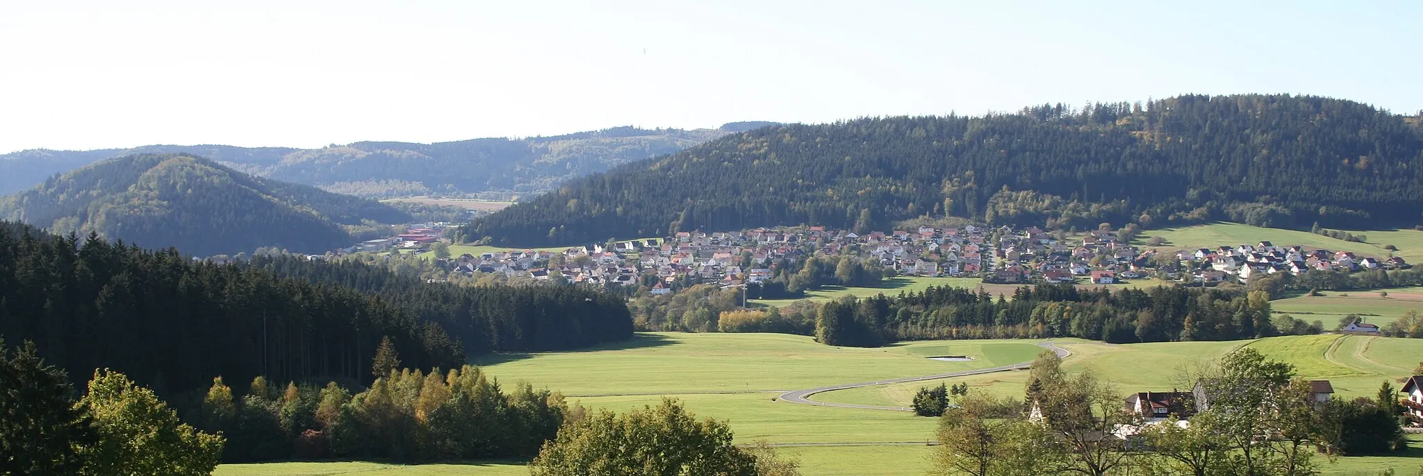
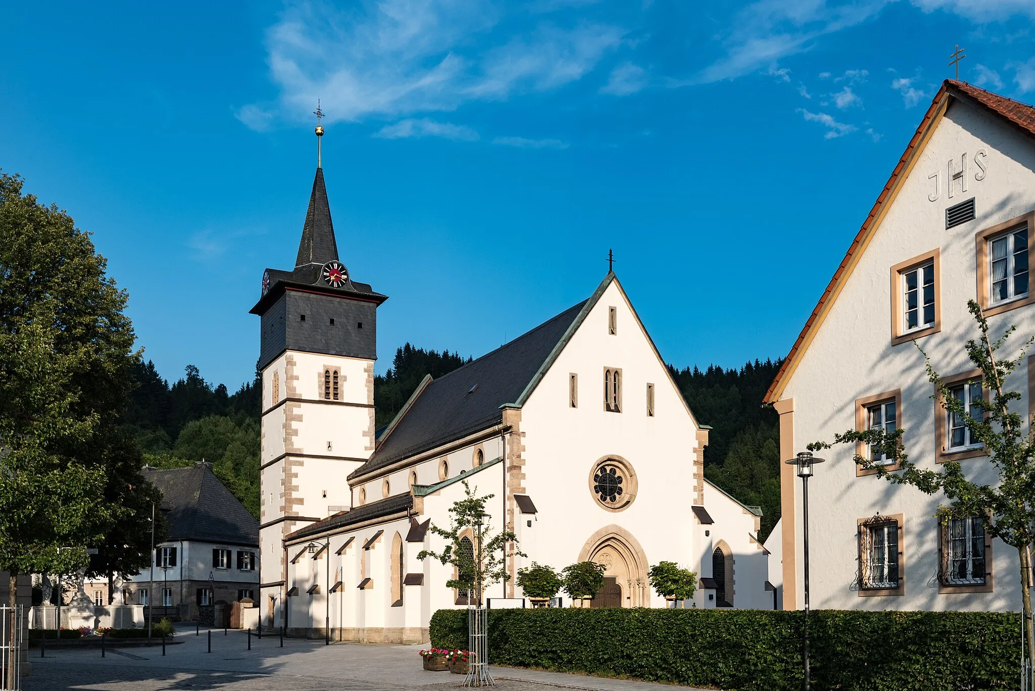
Start: Teuschnitz Village centerTeuschnitz: Teuschnitz - Epic Climbs and Gravel Adventures in Franconian Forest
Teuschnitz is a small town in Oberfranken, Germany. From a cyclist's perspective, Teuschnitz offers a mix of road cycling and gravel cycling routes. The surrounding region is known for its challenging climbs in the Franconian Forest. Nearby, cyclists can find the famous Steinachtal cycle path, offering stunning views of the Steinach River. Teuschnitz is a must-visit destination for cyclists seeking epic climbs and thrilling off-road adventures.12 km
12 km
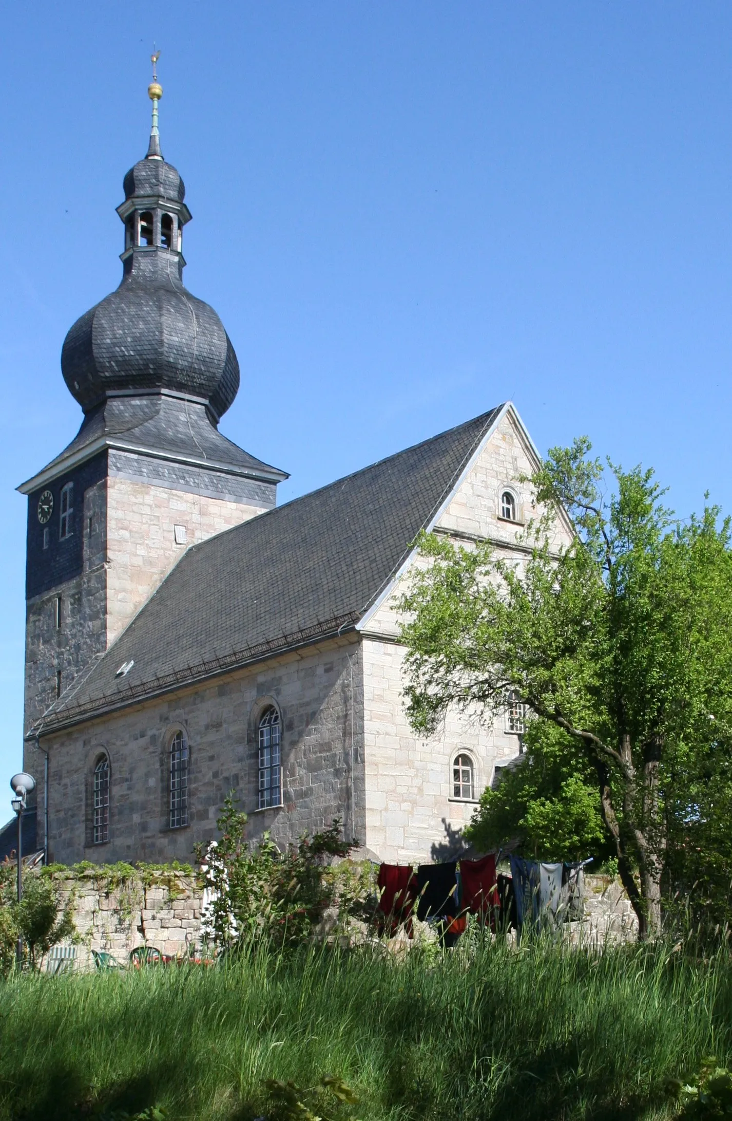
LehestenTownLehesten boasts a dazzling blend of idyllic landscapes and architectural marvels, offering an unforgettable experience for cyclists.
15 km
15 km
Culm714 mPeakCulm treats cyclists to breathtaking views from its elevated position, rewarding their efforts with a sense of accomplishment.
28 km
28 km
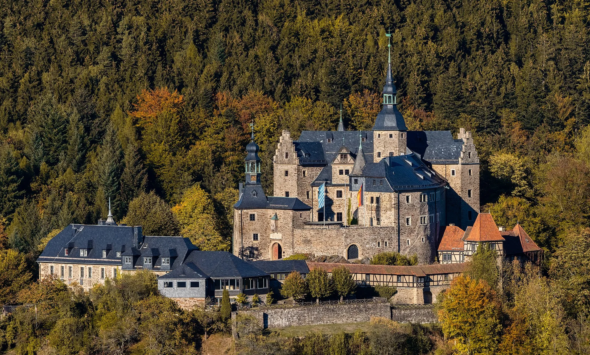
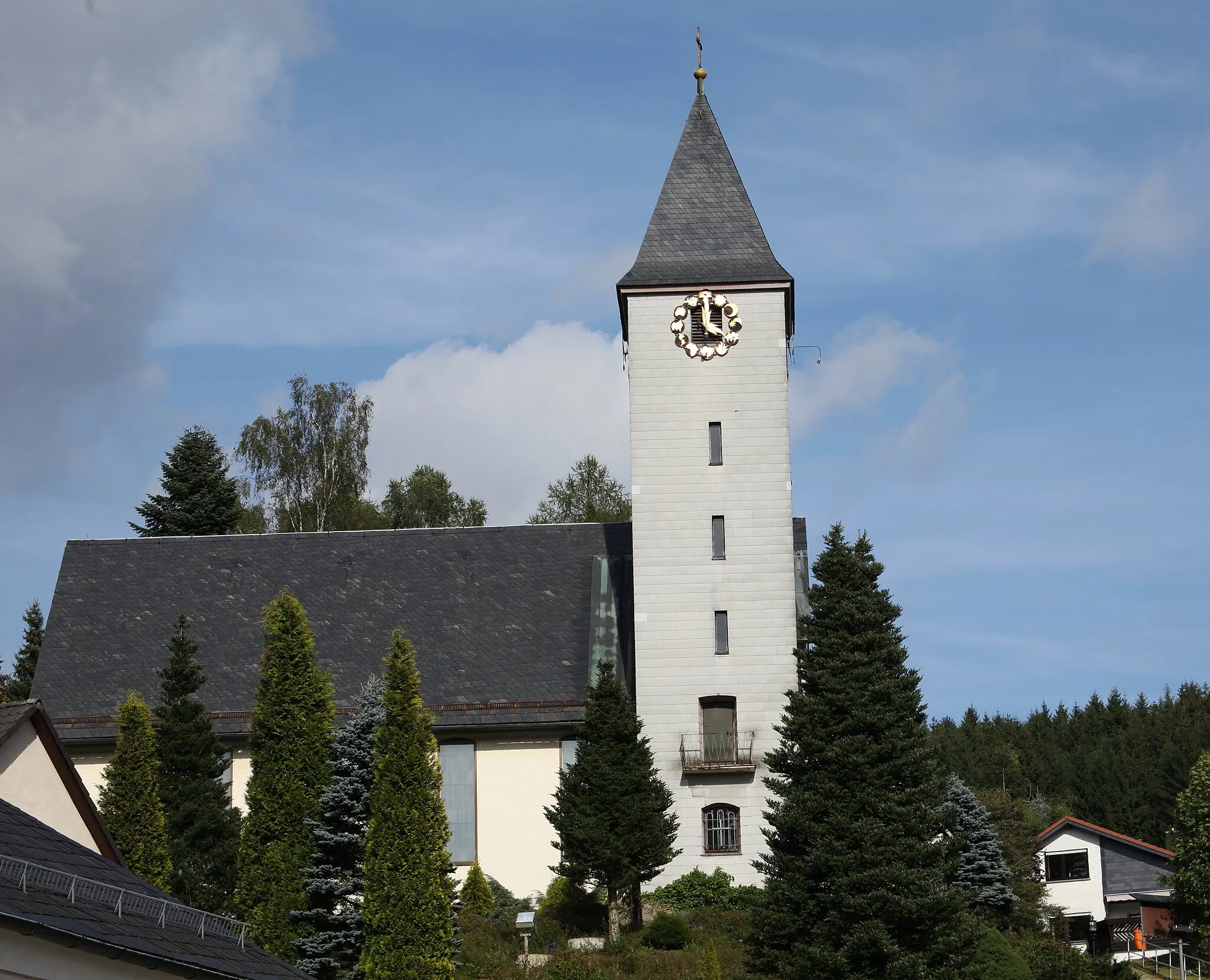
Bad LobensteinTownBad Lobenstein will captivate you with its rich history and vibrant culture, showcasing the region's diverse heritage.
46 km
46 km
Rauher Bühl621 mPeakRauher Bühl challenges even the most experienced cyclists, pushing their limits and offering unrivaled views from the summit.
48 km
48 km
BergVillageBerg, with its awe-inspiring beauty, provides cyclists with a serene escape and plenty of opportunities to have an unforgettable ride.
67 km
67 km
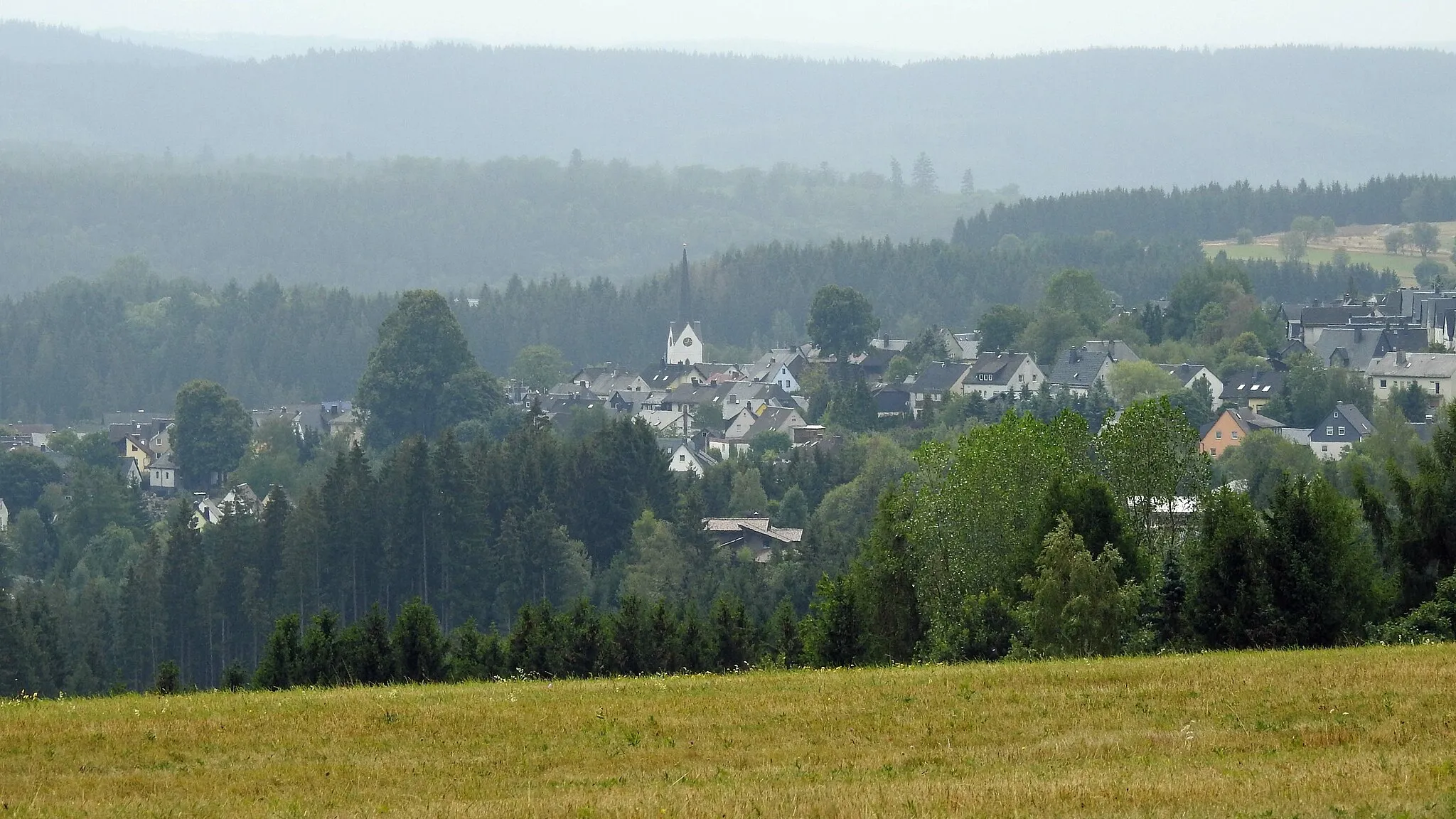
GeroldsgrünVillageGeroldsgrün presents a peaceful and picturesque setting for cyclists to rest and take in the surrounding natural splendor.
70 km
70 km
KämmleinsfelsenViewpointKämmleinsfelsen awaits with its dramatic rock formations and breath-stealing views, adding an element of excitement to the journey.
83 km
83 km
Bromberg598 mPeakBromberg boasts a challenging ascent that leads to awe-inspiring vistas, rewarding cyclists with unforgettable memories.
91 km
91 km
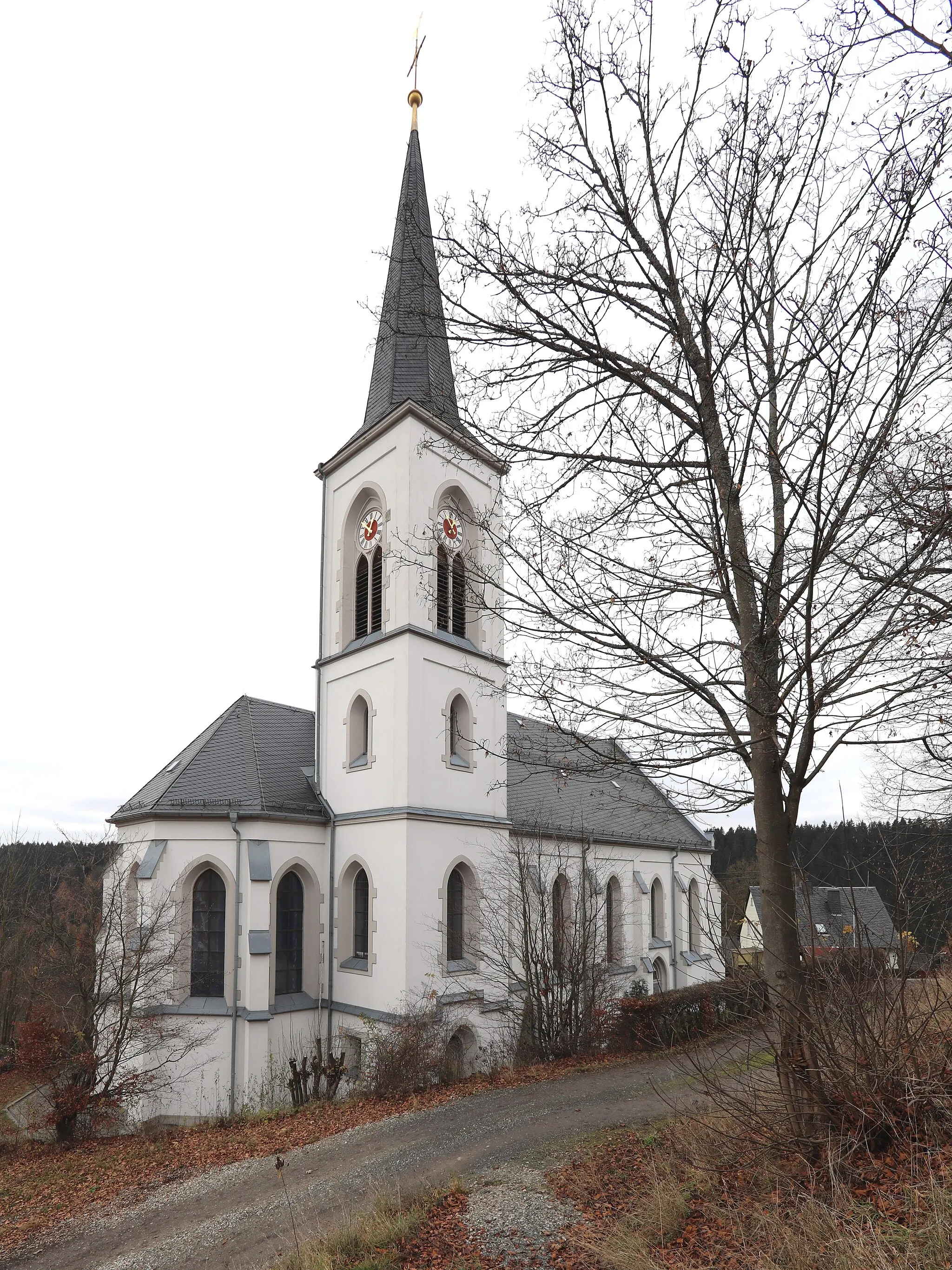
TschirnVillageTschirn offers cyclists a chance to revel in tranquility, as they make their way through serene landscapes and embrace the scenic beauty.
98 km
98 km
Finish: Teuschnitz Village centerTeuschnitz: Teuschnitz - Epic Climbs and Gravel Adventures in Franconian Forest
Cycling routes from Teuschnitz:
Tschirn-Wirtsberg-Reuthügel-Teuschnitz Pressig-Müllersberg-Steinheid-Kieferle-Neuhaus am Rennweg Gravel Adventure Teuschnitz Hills The One with Gravel and Forests The Ultimate Road Challenge Gravel Escape Tschirn-Mühlberg-Haidekoppe-Wurzbach-Teuschnitz Scenic Road Delight Rothenkirchen-Langenauer Höhe-Tettau-Apelsberg-Paulinzella-Teuschnitz Oberfranken Adventure
Cycling routes nearby: