From Schulstein to Waischenfeld
A road cycling route starting from Waischenfeld
Embark on a road cycling adventure through scenic landscapes
Map
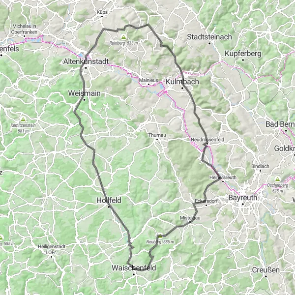
The route from Schulstein to Waischenfeld is a thrilling road cycling experience that covers a distance of 108 kilometers with a total ascent of 1380 meters. As you pedal through the diverse terrain, you'll encounter charming villages, ancient landmarks, and panoramic views. This road cycling route is suitable for experienced cyclists looking for a challenge and an opportunity to explore the natural beauty of Oberfranken.
road
108 km
1380 m
Tough
Route profile
Highlights on the route
0 km
0 km
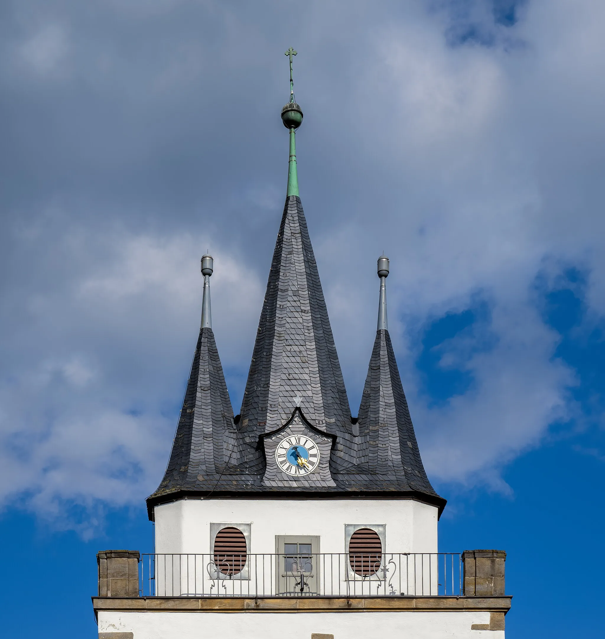
Start: Waischenfeld City centerWaischenfeld: Waischenfeld - Diverse terrains and historical charm
Waischenfeld is a locality located in Oberfranken, Germany. As a road and gravel cyclist, Waischenfeld offers diverse terrains with both flat stretches and challenging climbs, providing a good mix for riders. The town itself has a charming atmosphere and historical sites to explore. Nearby, cyclists can find the famous climb of the Pottenstein-Weidenloh, known for its demanding gradient and beautiful surroundings. Overall, Waischenfeld is a great cycling destination with plenty of scenic routes and notable climbs.0 km
0 km
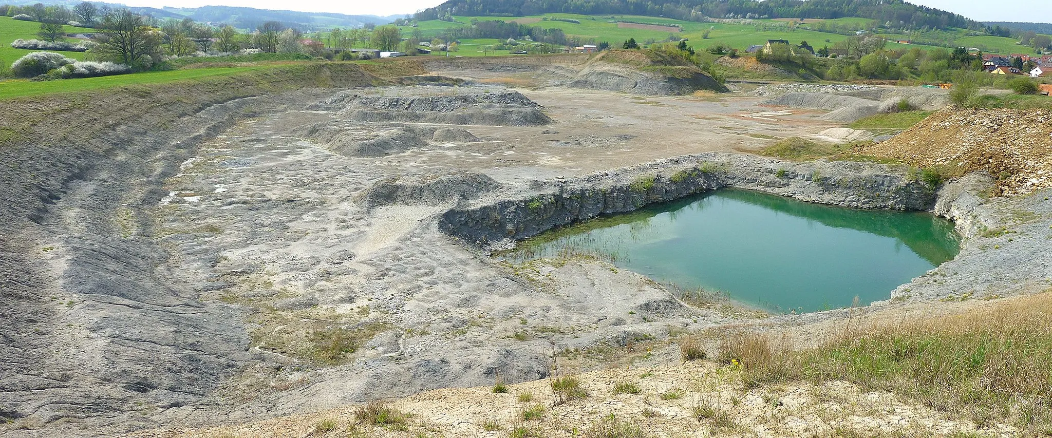
SchulsteinViewpointVisit the Schulstein, an ancient rock formation that once served as a medieval watchtower.
6 km
6 km
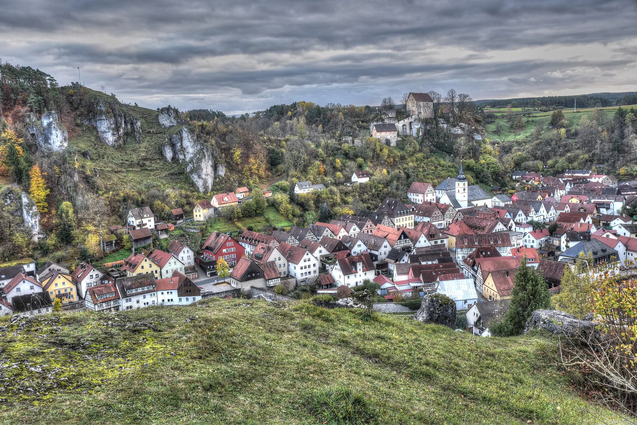
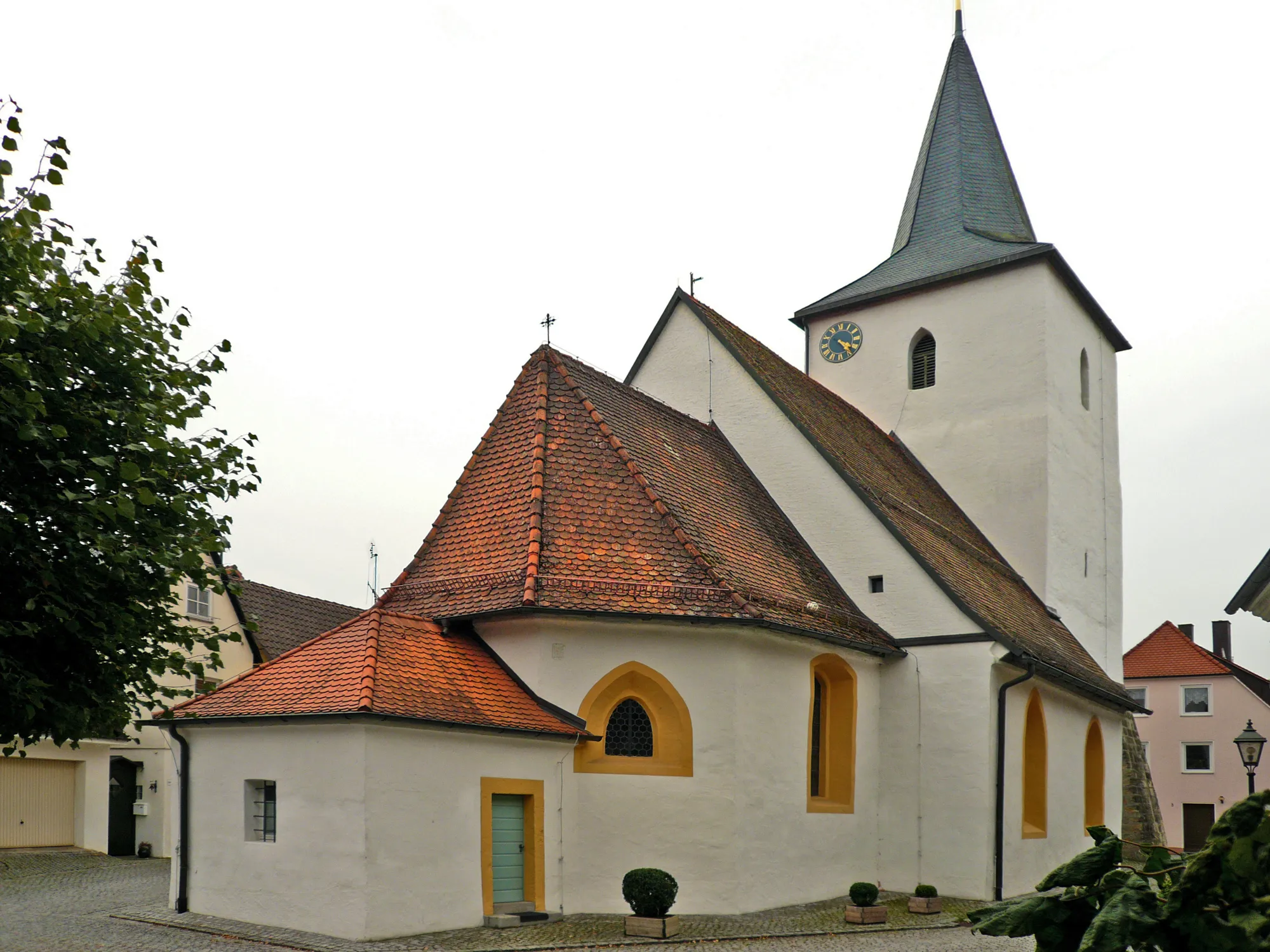
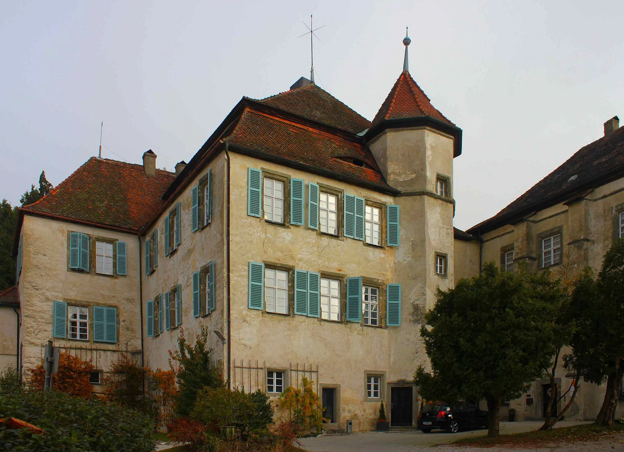
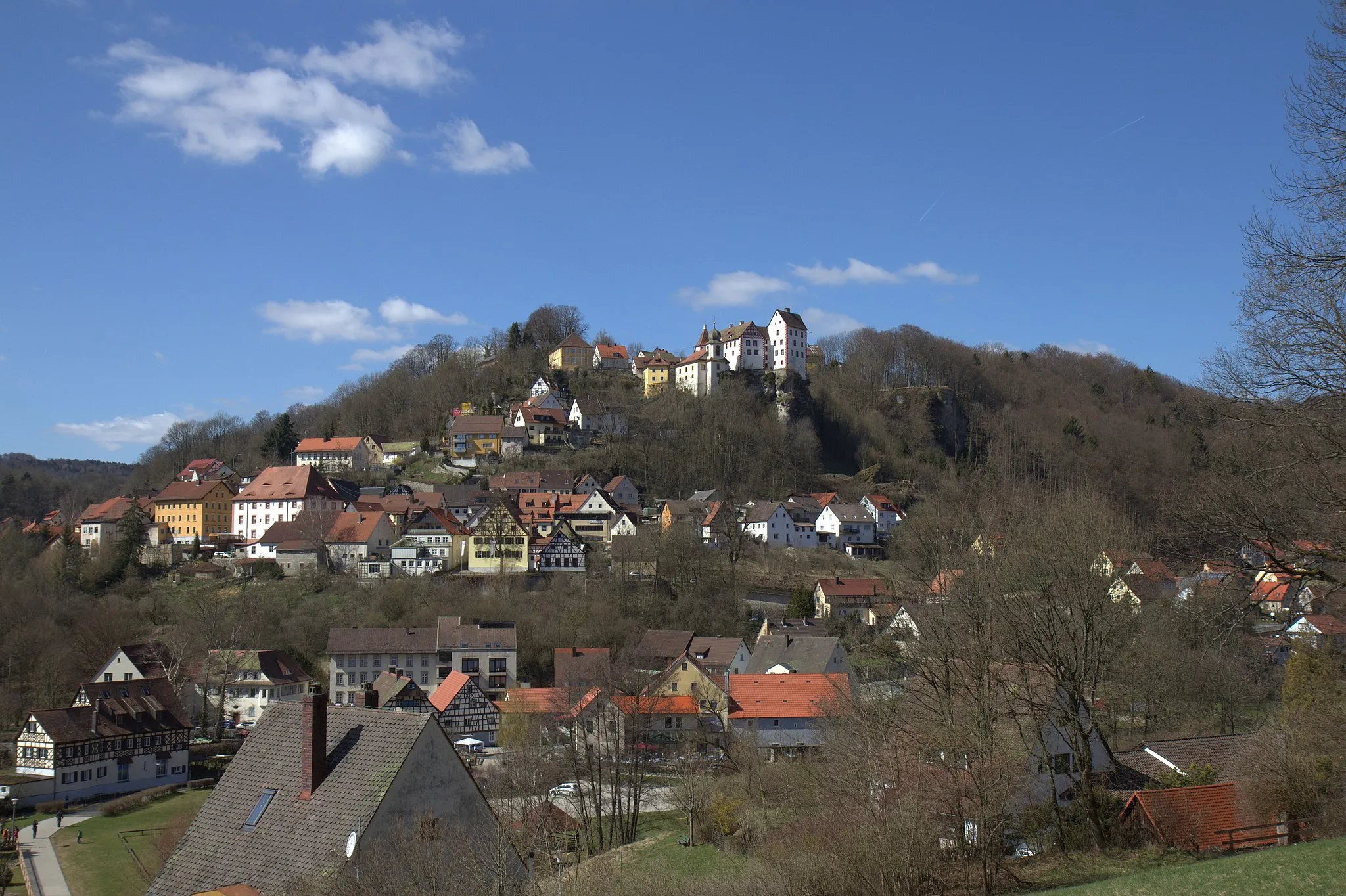
PlankenfelsVillageExperience the enchanting atmosphere of Plankenfels and its well-preserved castle ruins.
23 km
23 km
FesselsdorfVillageTravel through the scenic village of Fesselsdorf and enjoy magnificent views of the surrounding countryside.
40 km
40 km
BurgkunstadtTownDiscover Burgkunstadt, a town with a rich history and stunning architectural heritage.
47 km
47 km
Rainberg533 mPeakAdmire the Rainberg Hills, offering panoramic views of the surrounding nature and landscape.
57 km
57 km
Ameisenknock456 mPeakExperience the tranquility of Ameisenknock, a peaceful nature reserve known for its diverse flora and fauna.
64 km
64 km
KulmbachTownExplore Kulmbach, a historic town famous for its breweries and impressive Plassenburg Castle.
83 km
83 km
Bleyer396 mPeakDiscover Bleyer, a picturesque village set amidst lush green fields and rolling hills.
88 km
88 km
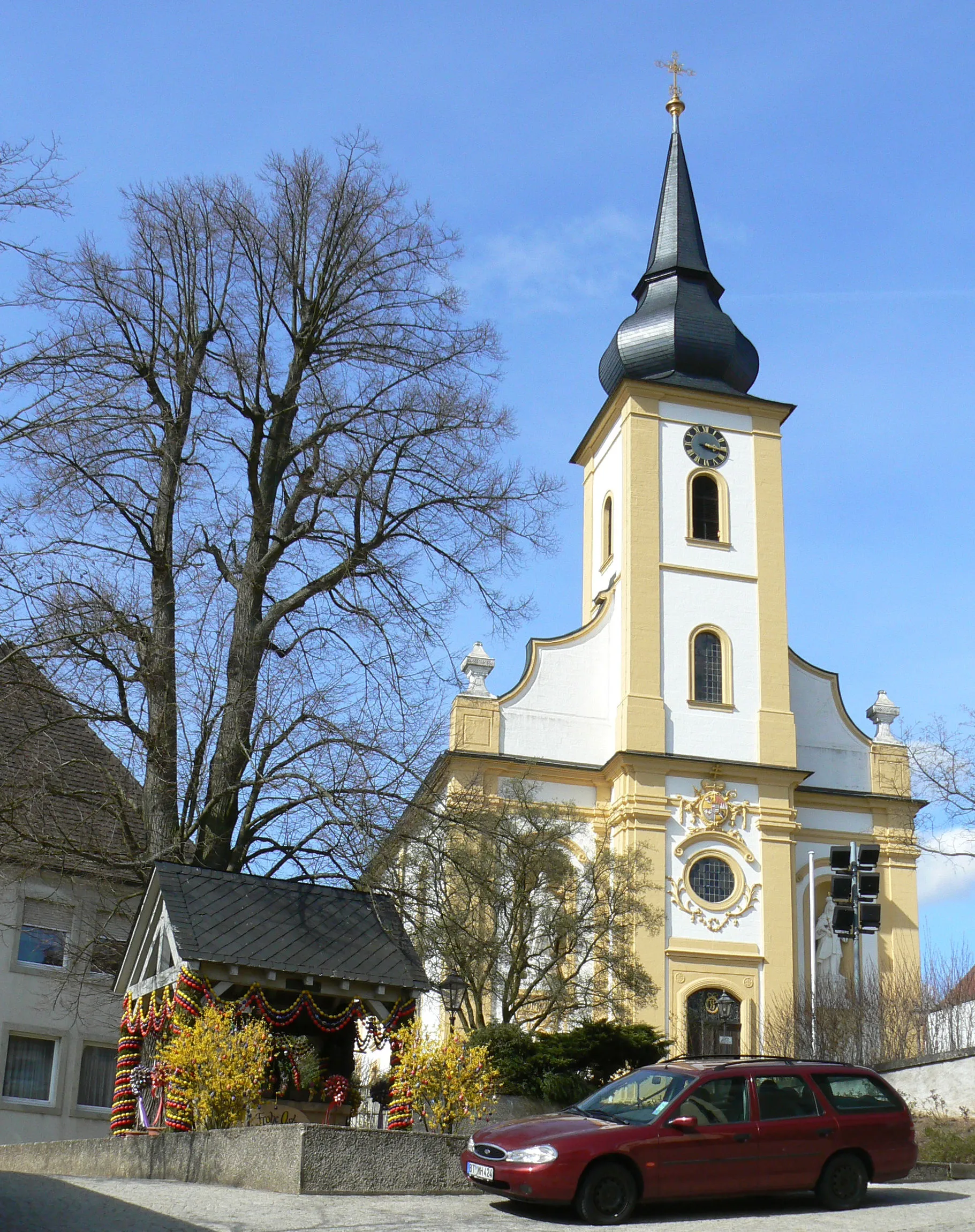
EckersdorfVillageCycle through Eckersdorf and immerse yourself in the cozy atmosphere of this charming Bavarian town.
98 km
98 km
Neubürg586 mPeakNeubürg, a legendary hill climb with breathtaking views from the top, attracts cyclists from all over Germany.
108 km
108 km
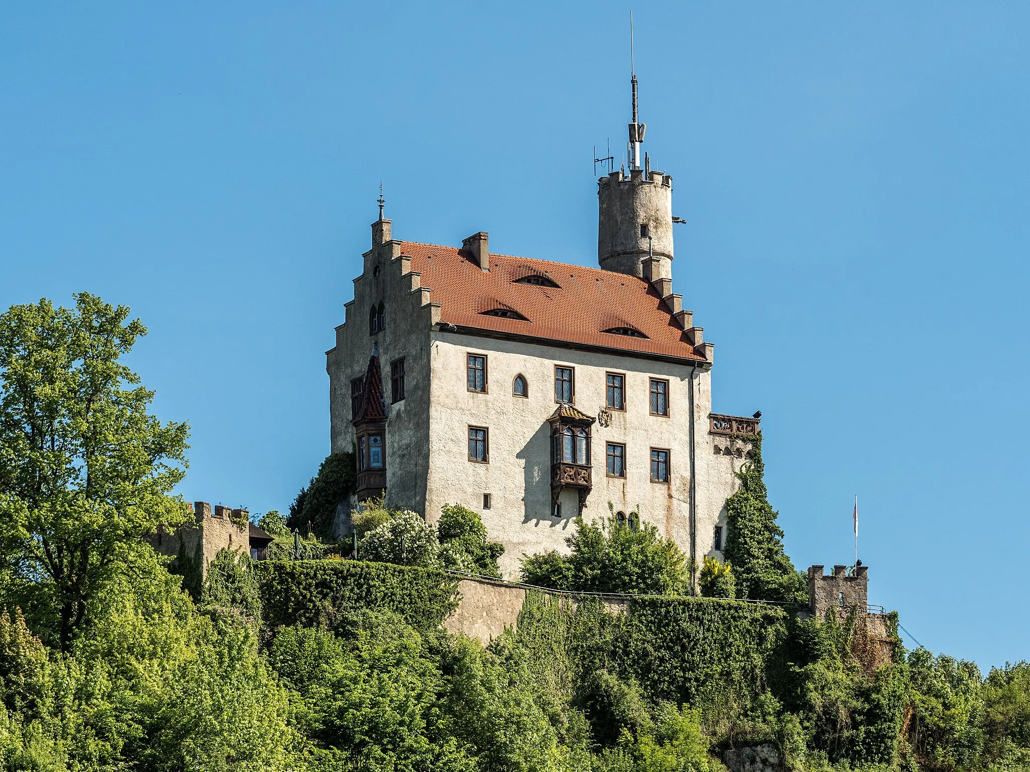
WaischenfeldTownBegin and end your journey in Waischenfeld, a captivating town with its medieval castle and picturesque streets.
108 km
108 km
Finish: Waischenfeld City centerWaischenfeld: Waischenfeld - Diverse terrains and historical charm
Cycling routes from Waischenfeld:
Off the Beaten Path - Gravel Adventure Enchanting Villages and Scenic Routes Gravel Adventures in Oberfranken Charming Bavarian Villages and Natural Beauty Cultural Exploration and Scenic Landscapes Gravel Adventure near Waischenfeld Hidden Gems of Oberfranken Off the Beaten Path Gravel Adventure Waischenfeld Panoramic Loop Ultimate Challenge: Hills and Peaks Glashütten Adventure Hohler Berg Loop From Schulstein to Waischenfeld Bayreuth Hills Loop
Cycling routes nearby: