Gravel Trails and Hidden Gems
A gravel cycling route starting from Wiesenthau
Uncover hidden gems and ride along scenic gravel trails in the countryside near Wiesenthau
Map
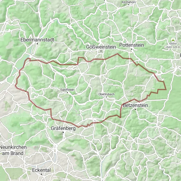
Escape from the beaten path and experience the beauty of nature with this gravel route. Covering a distance of 74 km and an ascent of 1144 meters, it offers a unique cycling experience. Explore picturesque rural landscapes, hidden gems, and delightful villages. With a moderate difficulty level, it is suitable for experienced amateur cyclists looking for an adventurous escape.
gravel
74 km
1144 m
Tough
Route profile
Highlights on the route
0 km
0 km
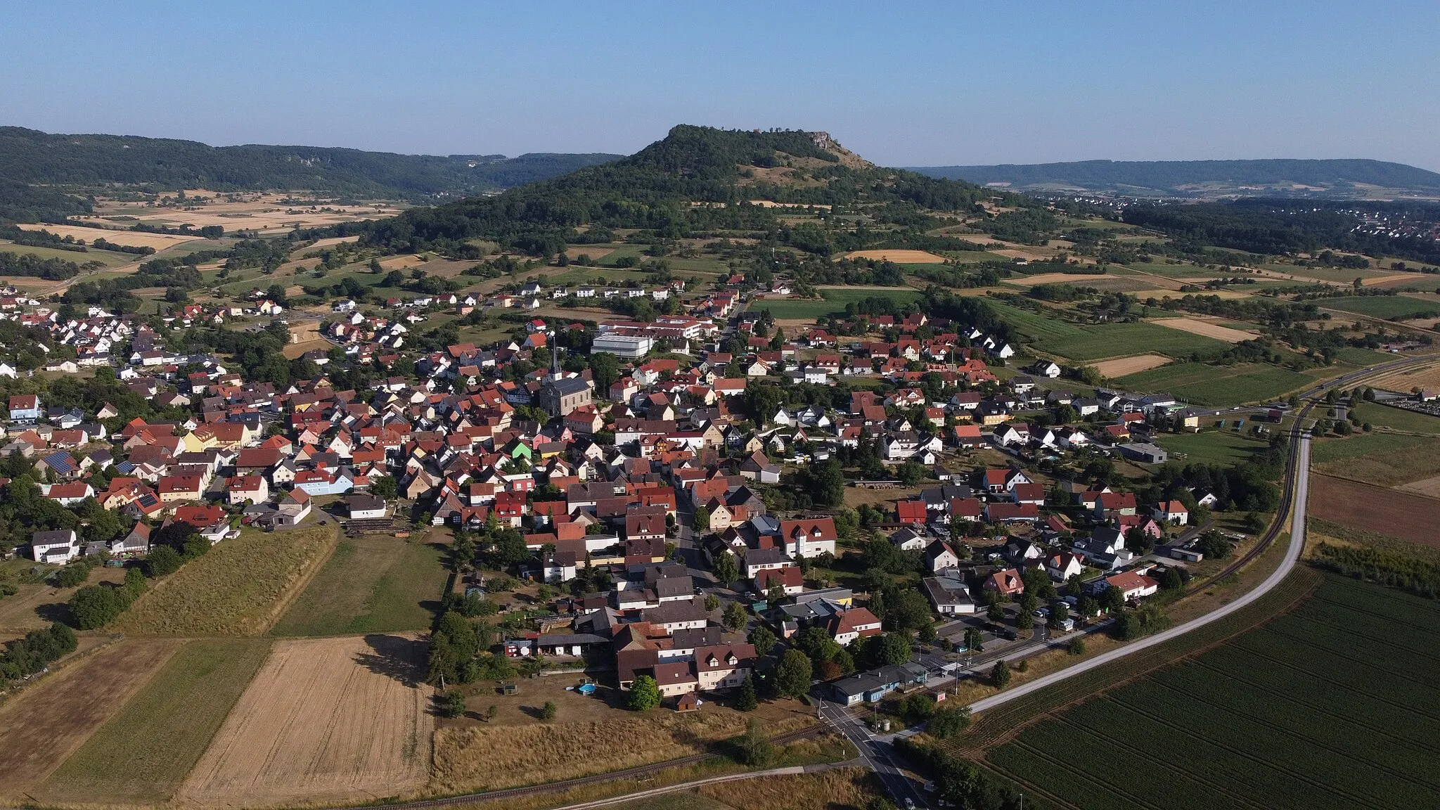
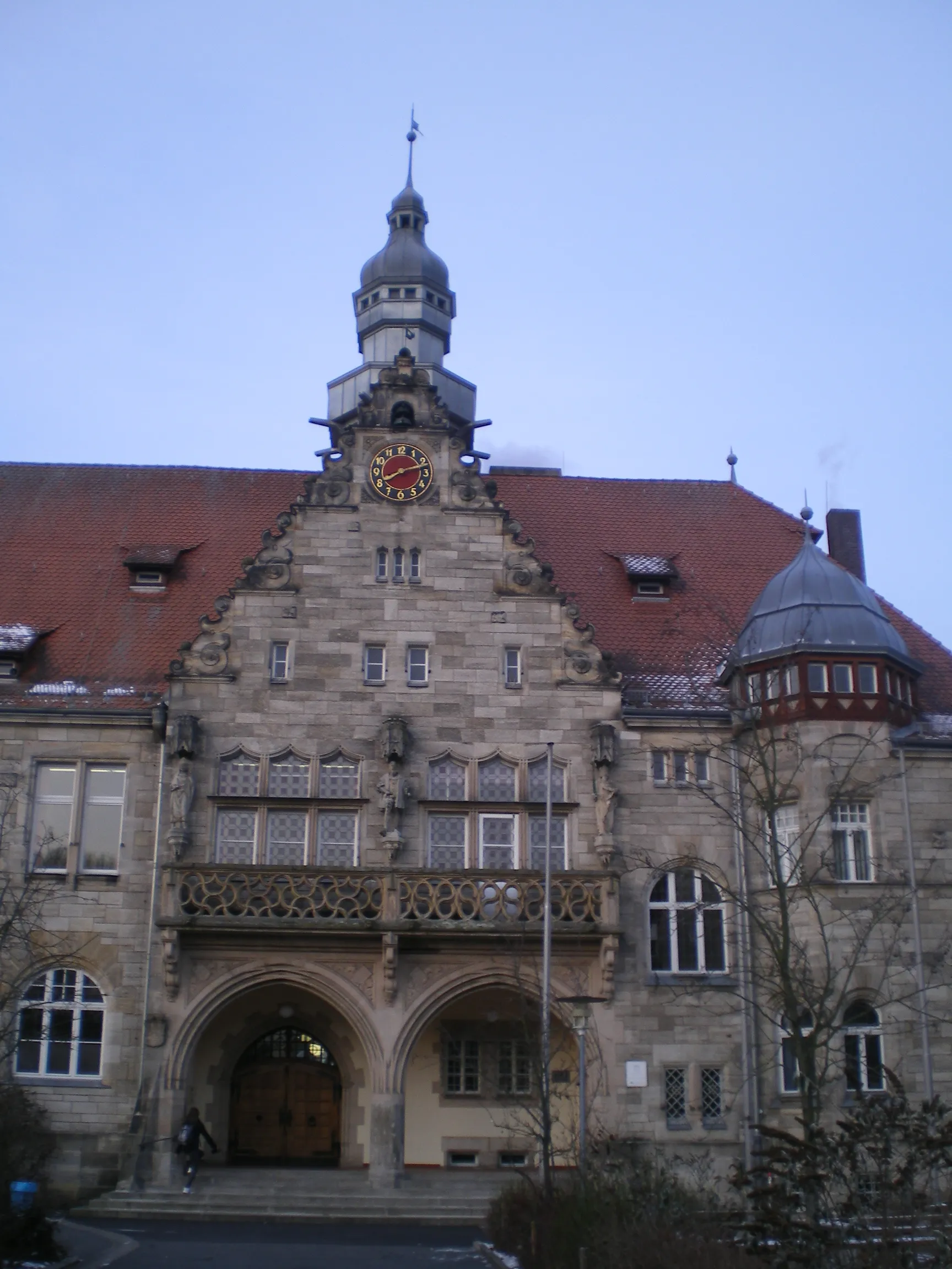
Start: Wiesenthau Village centerWiesenthau: Cycling paradise in Oberfranken
Wiesenthau is located in Oberfranken, Germany. From a cyclist's perspective, the locality offers diverse terrains, ranging from flat stretches to challenging hills, making it suitable for road and gravel cycling enthusiasts. The roads are well-maintained, providing a smooth cycling experience. Wiesenthau is situated in close proximity to the Franconian Switzerland region, which offers famous cycling-related spots and well-known climbs. Cyclists can test themselves on challenging ascents and enjoy the scenic beauty of the area. Wiesenthau is a must-visit for cyclists seeking a mix of challenging rides and beautiful landscapes.6 km
6 km
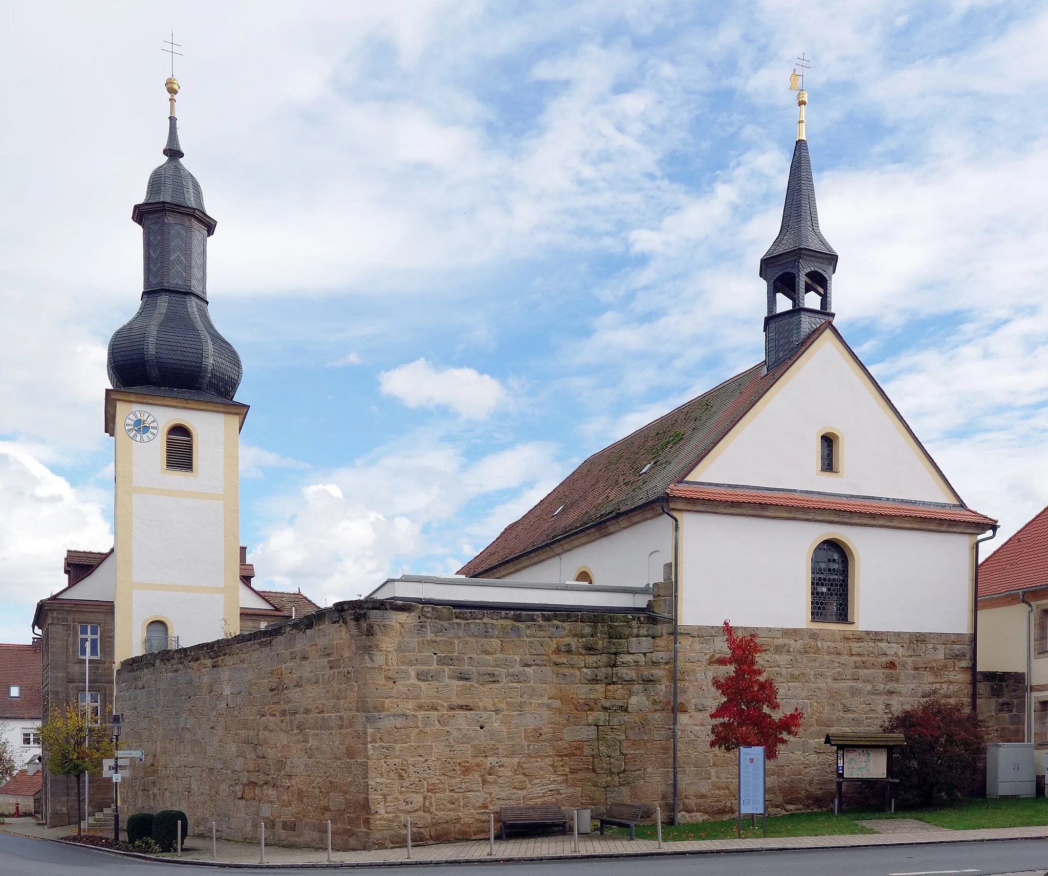
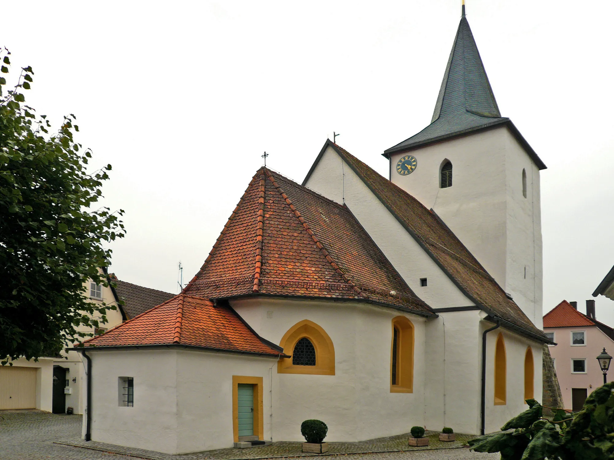
PretzfeldVillagePretzfeld, located at 6 km on the route, is a charming village surrounded by rolling hills and vineyards.
16 km
16 km
Almersberg526 mPeakAlmersberg, at 16 km on the route, is a hidden gem with its quaint houses and peaceful atmosphere.
25 km
25 km
Ringstein471 mPeakRingstein, located at 25 km on the route, offers panoramic views of the surrounding countryside from its elevated position.
29 km
29 km
ehemalige KlumpermühleCastle RuinsThe former Klumpermühle at 29 km on the route is an intriguing abandoned mill with a mysterious past.
43 km
43 km
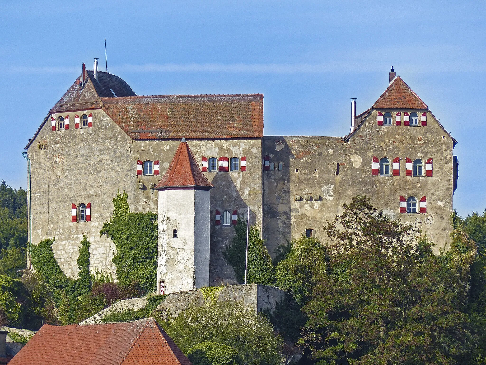
BetzensteinTownBetzenstein, at 43 km on the route, is a small town known for its impressive medieval castle ruins.
44 km
44 km
Großer Wasserstein520 mPeakGroßer Wasserstein, located at 44 km on the route, is a towering rock formation amidst the forest landscape.
53 km
53 km
Eschenberg598 mPeakEschenberg, at 53 km on the route, offers fantastic views of the surrounding countryside from its summit.
55 km
55 km
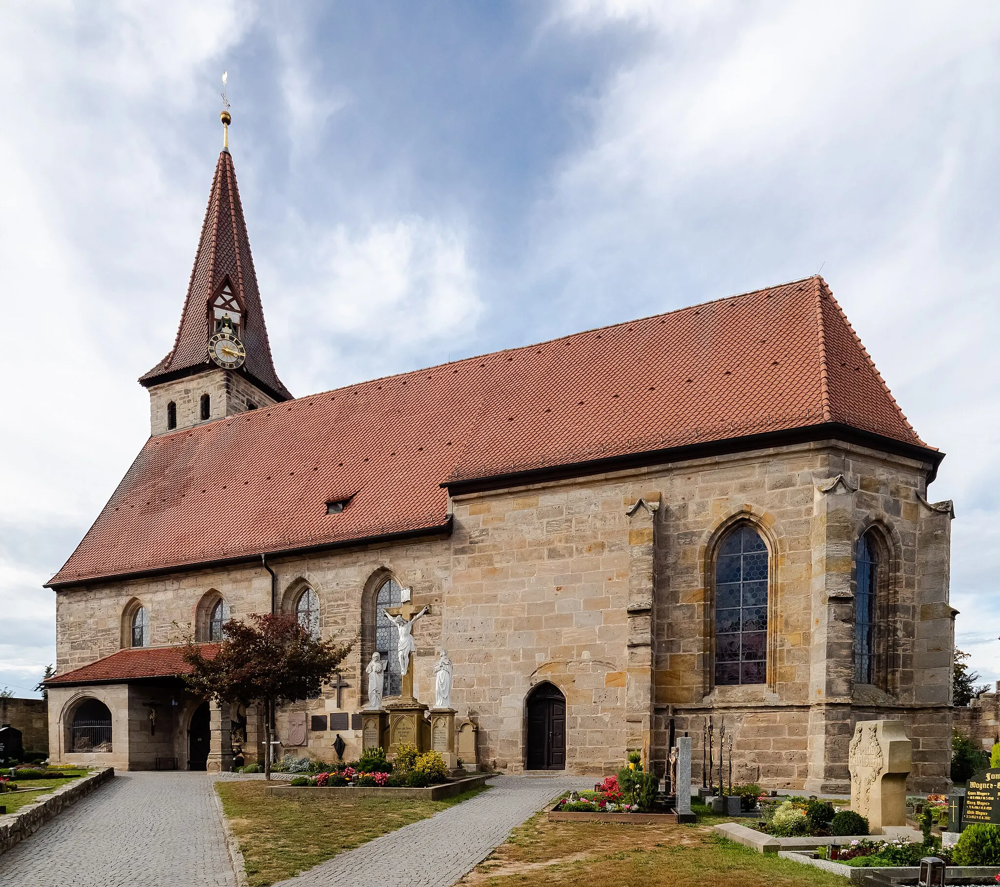
HiltpoltsteinVillageHiltpoltstein, at 55 km on the route, is a charming village with half-timbered houses and a historic castle.
67 km
67 km
OberehrenbachVillageOberehrenbach, at 67 km on the route, is a tranquil village surrounded by green fields and dense forests.
71 km
71 km
Eichelberg423 mPeakEichelberg, located at 71 km on the route, offers stunning views of the rolling hills and picturesque countryside.
74 km
74 km
Finish: Wiesenthau Village centerWiesenthau: Cycling paradise in Oberfranken
Cycling routes from Wiesenthau:
Classic Hills and Castles Climbs and Medieval Treasures Off-Road Adventure and Scenic Views Gravel Adventure Through Poppendorf Gravel Trails and Hidden Gems Breathtaking Landscapes and Natural Wonders Rural Gravel Adventure Fantaisie and Kulm Loop Bug and Kunreuth Loop Nuremberg and Dachsknock Adventure Road Route: Bubenreuth to Schloss Wiesenthau Road Route: Pinzberg to Weilersbach Gravel Route: Pinzberg to Sigritzau
Cycling routes nearby: