Climbs and Medieval Treasures
A road cycling route starting from Wiesenthau
Embark on a challenging ride through medieval villages and conquer epic climbs near Wiesenthau
Map
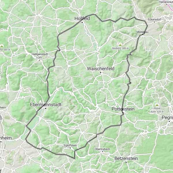
Experience the thrill of conquering challenging climbs and immerse yourself in the medieval heritage of the region with this route. Covering a distance of 103 km and an ascent of 1591 meters, it is a demanding journey suitable for experienced cyclists. The route takes you through picturesque villages, impressive castles, and breathtaking natural landscapes. It is an epic adventure that guarantees a sense of achievement and awe-inspiring views.
road
103 km
1591 m
Savage
Route profile
Highlights on the route
0 km
0 km
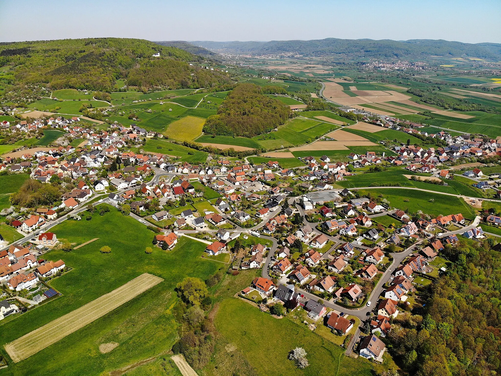
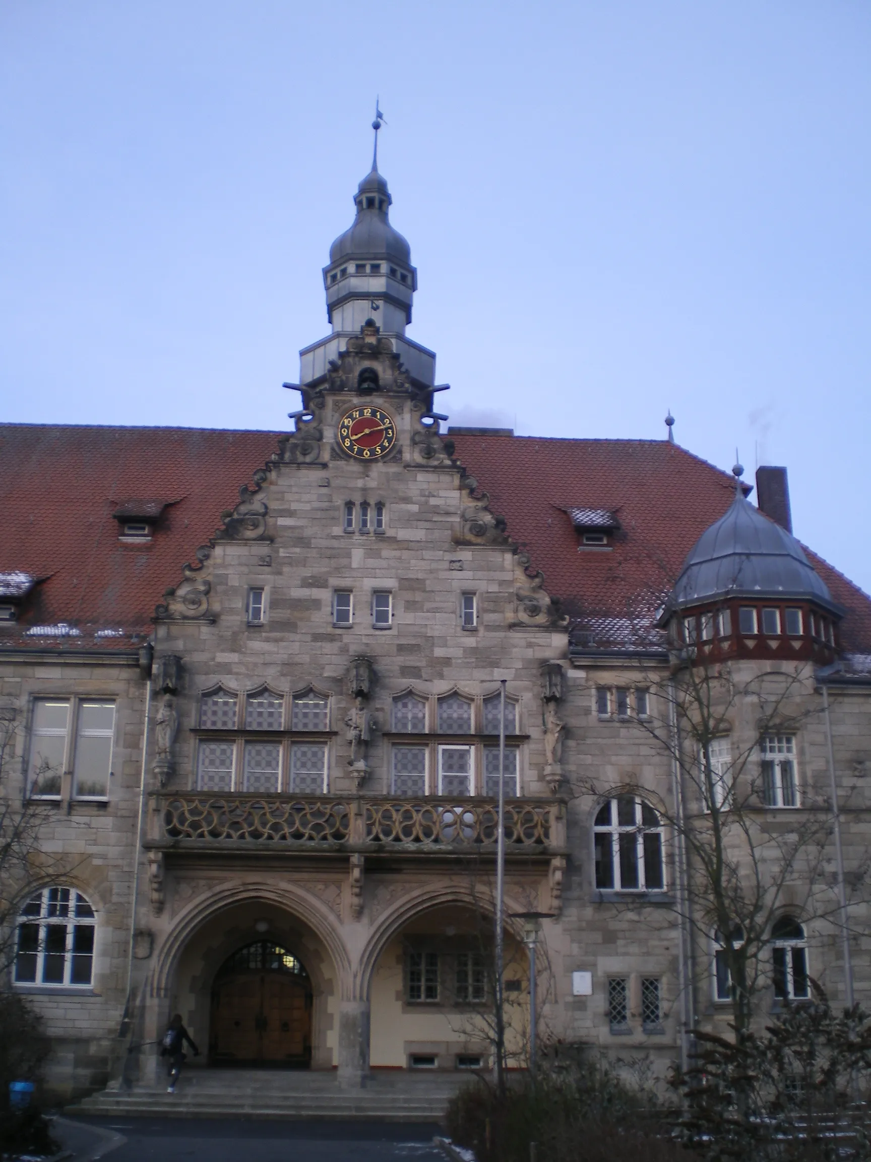
Start: Wiesenthau Village centerWiesenthau: Cycling paradise in Oberfranken
Wiesenthau is located in Oberfranken, Germany. From a cyclist's perspective, the locality offers diverse terrains, ranging from flat stretches to challenging hills, making it suitable for road and gravel cycling enthusiasts. The roads are well-maintained, providing a smooth cycling experience. Wiesenthau is situated in close proximity to the Franconian Switzerland region, which offers famous cycling-related spots and well-known climbs. Cyclists can test themselves on challenging ascents and enjoy the scenic beauty of the area. Wiesenthau is a must-visit for cyclists seeking a mix of challenging rides and beautiful landscapes.11 km
11 km
KreuzViewpointKreuz, located at 11 km on the route, is a beautiful village known for its ancient cross and charming architecture.
15 km
15 km
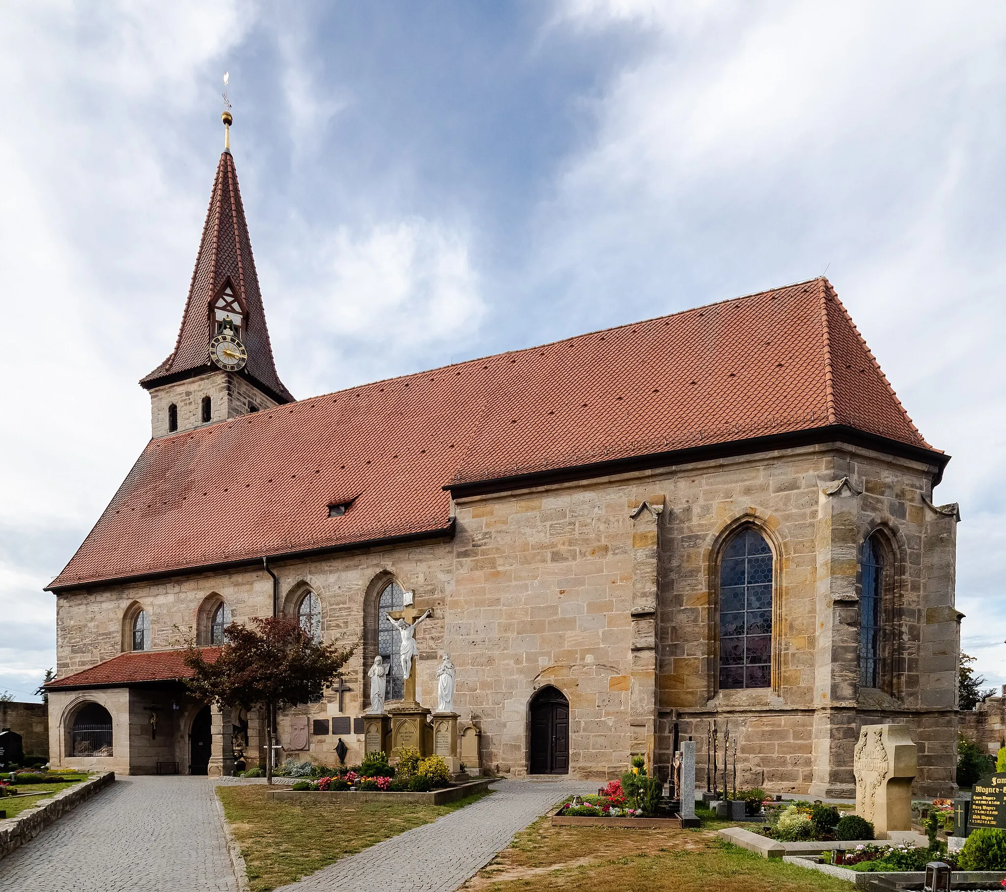
UnterleinleiterVillageUnterleinleiter, at 15 km on the route, is a well-preserved medieval village with cobblestone streets and quaint houses.
24 km
24 km
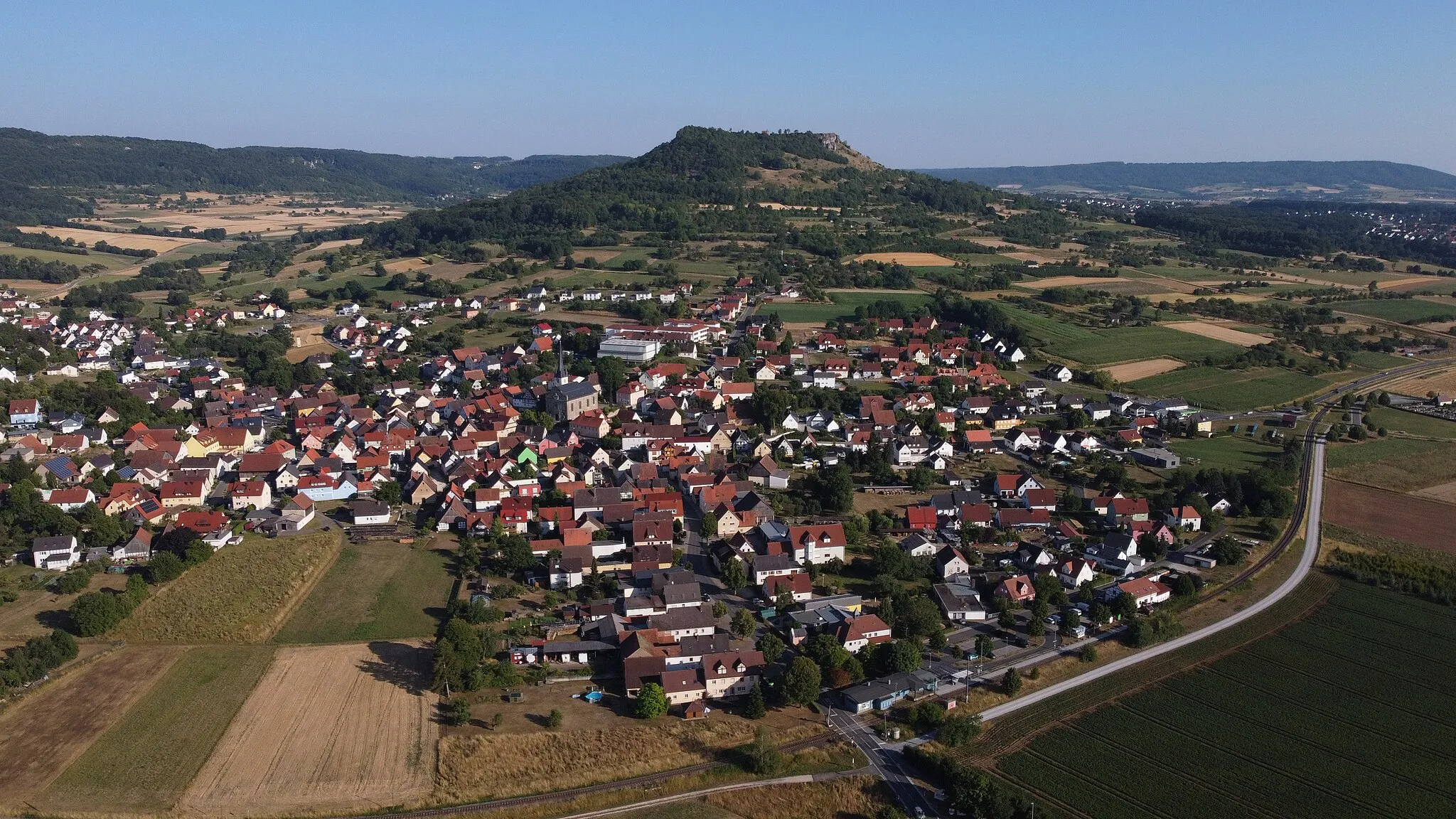
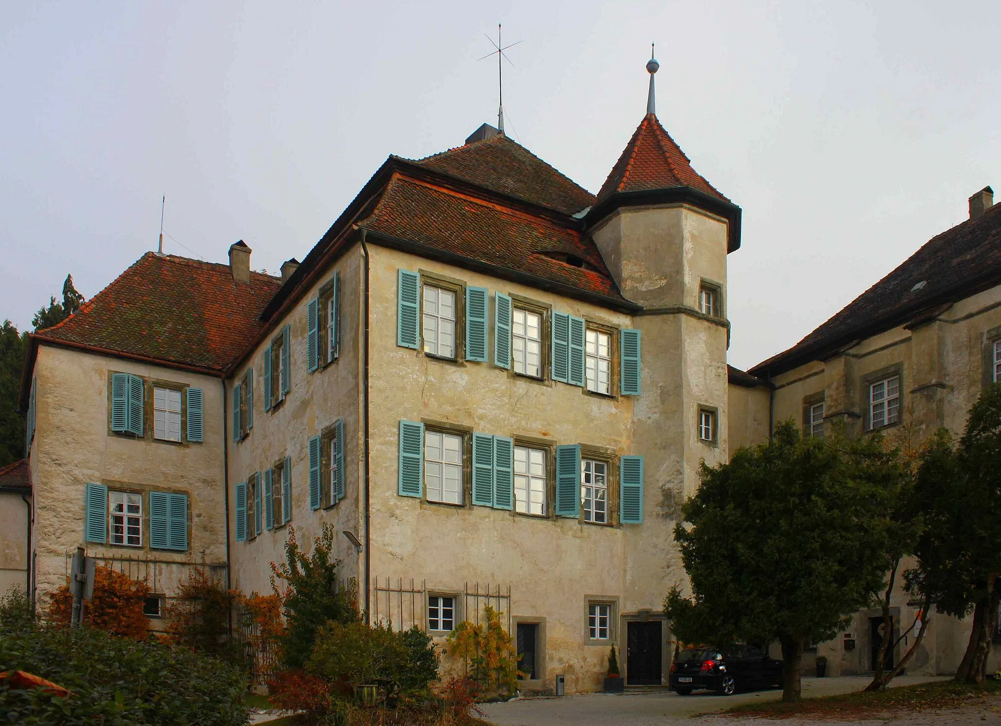
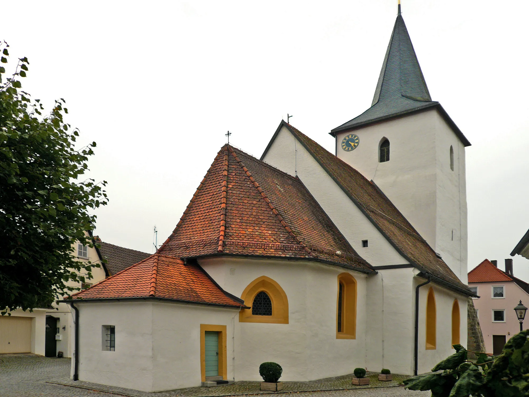
AufseßVillageAufseß, at 24 km on the route, is home to the famous Aufseß Castle, a key landmark in the region.
25 km
25 km
GaleriefelsenViewpointGaleriefelsen, at 25 km on the route, is a stunning rock formation offering magnificent views of the surrounding countryside.
34 km
34 km
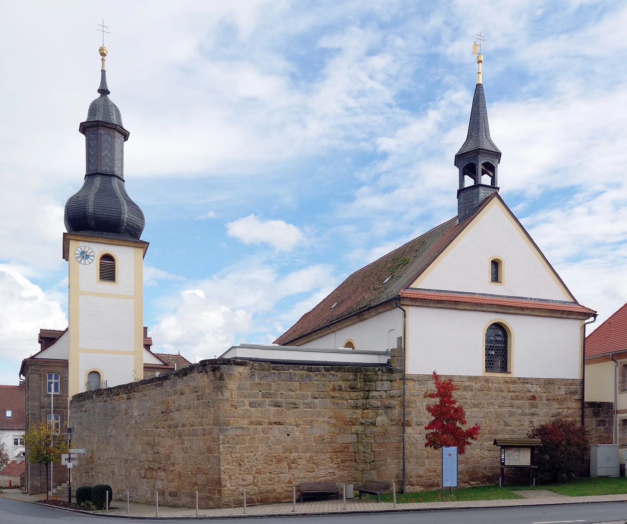
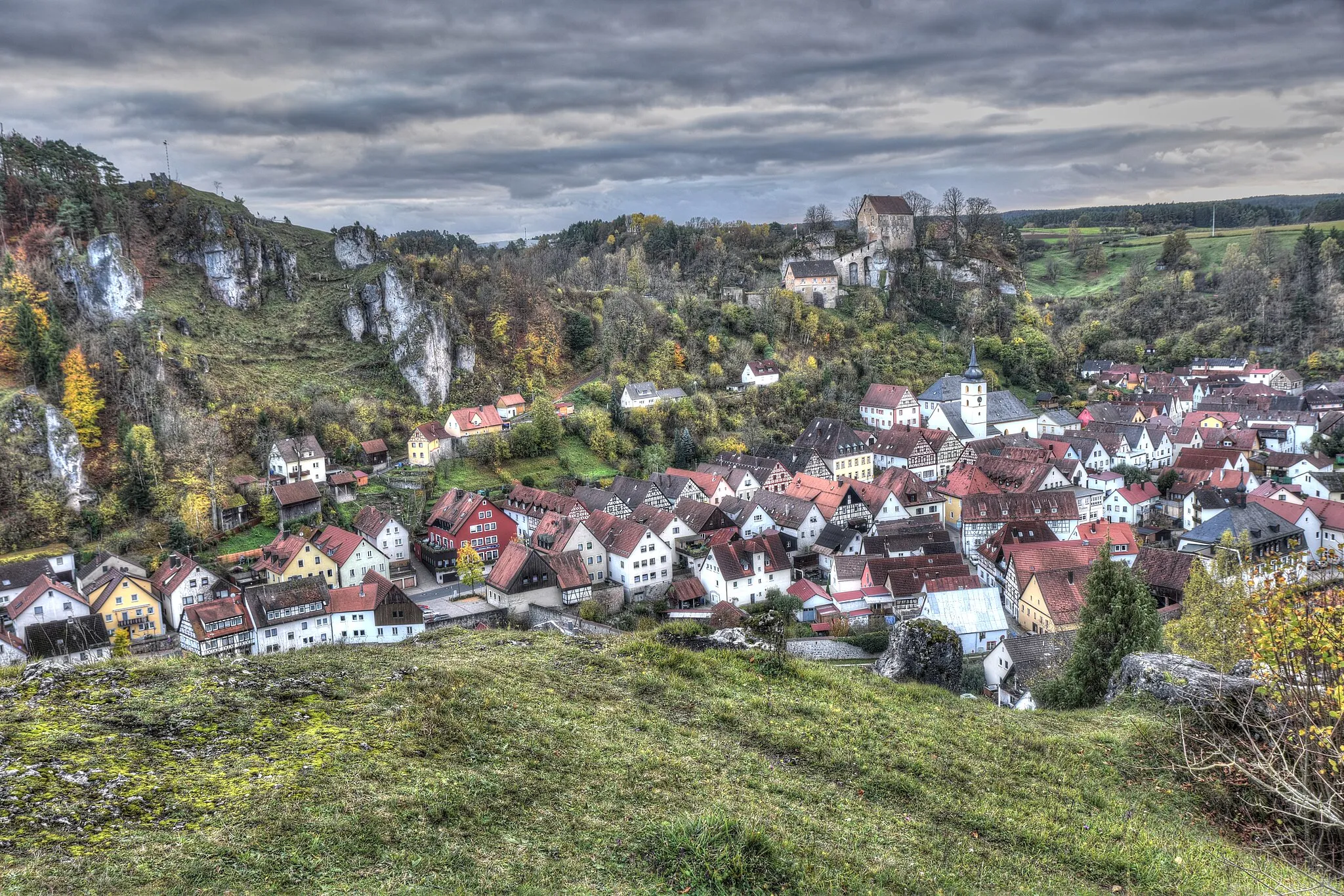
HollfeldTownHollfeld, at 34 km on the route, is a charming town with a rich history and well-preserved medieval buildings.
44 km
44 km
Burgstall535 mPeakBurgstall, at 44 km on the route, is a medieval castle ruin offering panoramic views of the landscape.
56 km
56 km
GlashüttenVillageGlashütten, at 56 km on the route, is a small village known for its glassblowing tradition and historic glassworks.
58 km
58 km
Hollerberg538 mPeakHollerberg, at 58 km on the route, is a scenic hilltop offering breathtaking views of the surrounding valleys.
74 km
74 km
PottensteinTownPottenstein, located at 74 km on the route, is a popular tourist destination known for its impressive rock formations and picturesque old town.
80 km
80 km
Gottesberg523 mPeakGottesberg, at 80 km on the route, is a pilgrimage site with a church perched atop a hill, providing panoramic views.
88 km
88 km
SignalsteinViewpointSignalstein, located at 88 km on the route, is a striking rock formation that served as a historic signaling point.
99 km
99 km
LeutenbachVillageLeutenbach, at 99 km on the route, is a charming village known for its timber-framed houses and tranquil atmosphere.
103 km
103 km
Finish: Wiesenthau Village centerWiesenthau: Cycling paradise in Oberfranken
Cycling routes from Wiesenthau:
Classic Hills and Castles Climbs and Medieval Treasures Off-Road Adventure and Scenic Views Gravel Adventure Through Poppendorf Gravel Trails and Hidden Gems Breathtaking Landscapes and Natural Wonders Rural Gravel Adventure Fantaisie and Kulm Loop Bug and Kunreuth Loop Nuremberg and Dachsknock Adventure Road Route: Bubenreuth to Schloss Wiesenthau Road Route: Pinzberg to Weilersbach Gravel Route: Pinzberg to Sigritzau
Cycling routes nearby: