Sauberg Gravel Exploration
A gravel cycling route starting from Zapfendorf
An immersive gravel cycling tour through Sauberg
Map
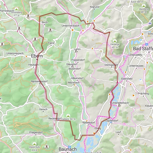
Immerse yourself in nature on this 52-kilometer gravel cycling route near Zapfendorf. Sauberg Gravel Exploration takes you through beautiful forests and idyllic landscapes, providing a peaceful escape from the bustling city life. With an ascent of 535 meters, this route offers a moderate challenge for gravel cyclists, making it suitable for both experienced riders and those seeking a new adventure.
gravel
52 km
535 m
Tough
Route profile
Highlights on the route
0 km
0 km
Start: Ebing Village centerZapfendorf: Cycling in rural Germany with scenic landscapes.
Zapfendorf is a small town located in Oberfranken, Germany. The area offers a variety of cycling routes suitable for both road and gravel cyclists. The quiet country roads provide scenic views of the surrounding countryside, with rolling hills and picturesque landscapes. One of the notable climbs nearby is the Staffelberg, which is a popular destination for local cyclists. Zapfendorf itself does not have any famous cycling spots, but its proximity to other cycling-friendly areas makes it a great base for exploring the region. Overall, Zapfendorf ranks as a 3 for its moderate cycling opportunities.11 km
11 km
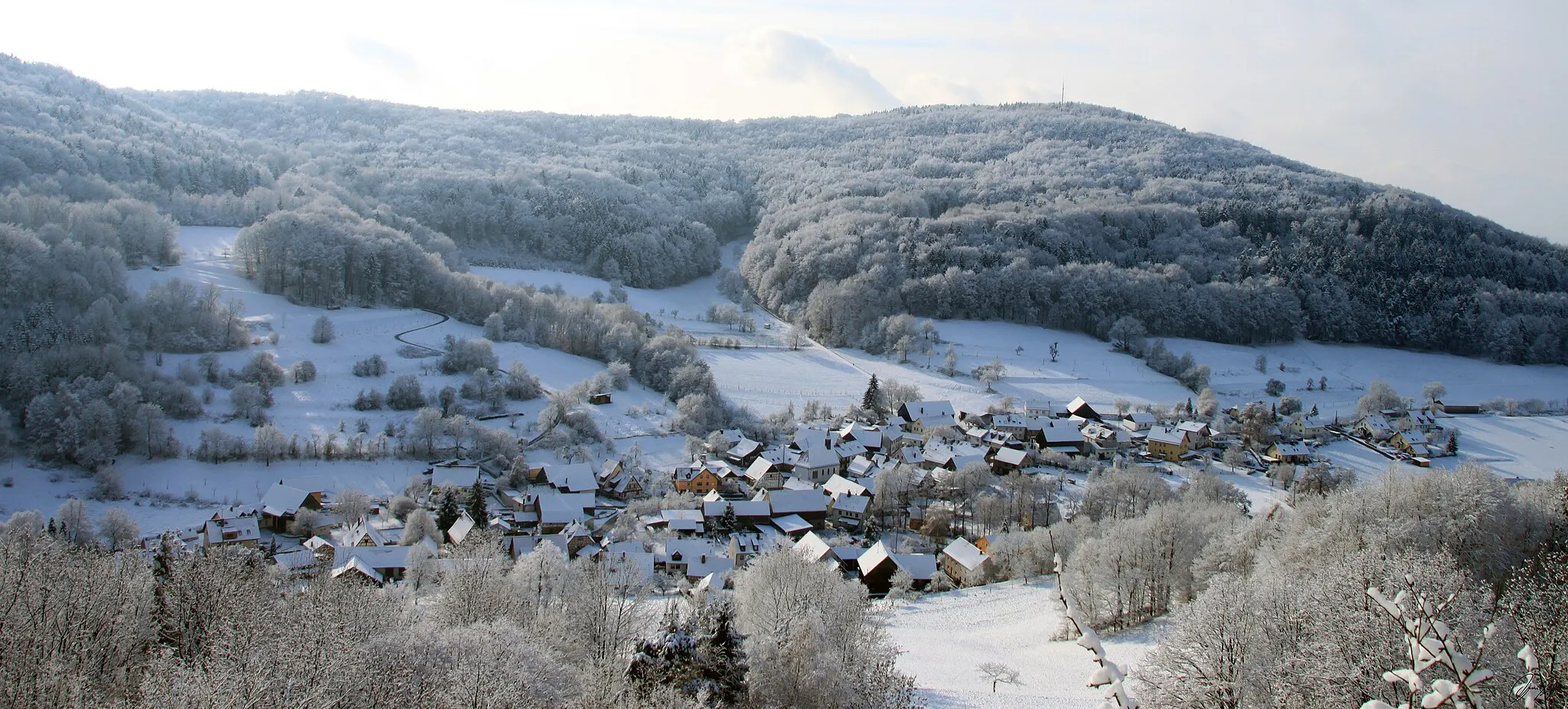
Sauberg320 mPeakSauberg highlight is located at a distance of 11 kilometers along the route. Nestled in the forest, it offers a serene and tranquil environment, perfect for a short break and a breath of fresh air.
14 km
14 km
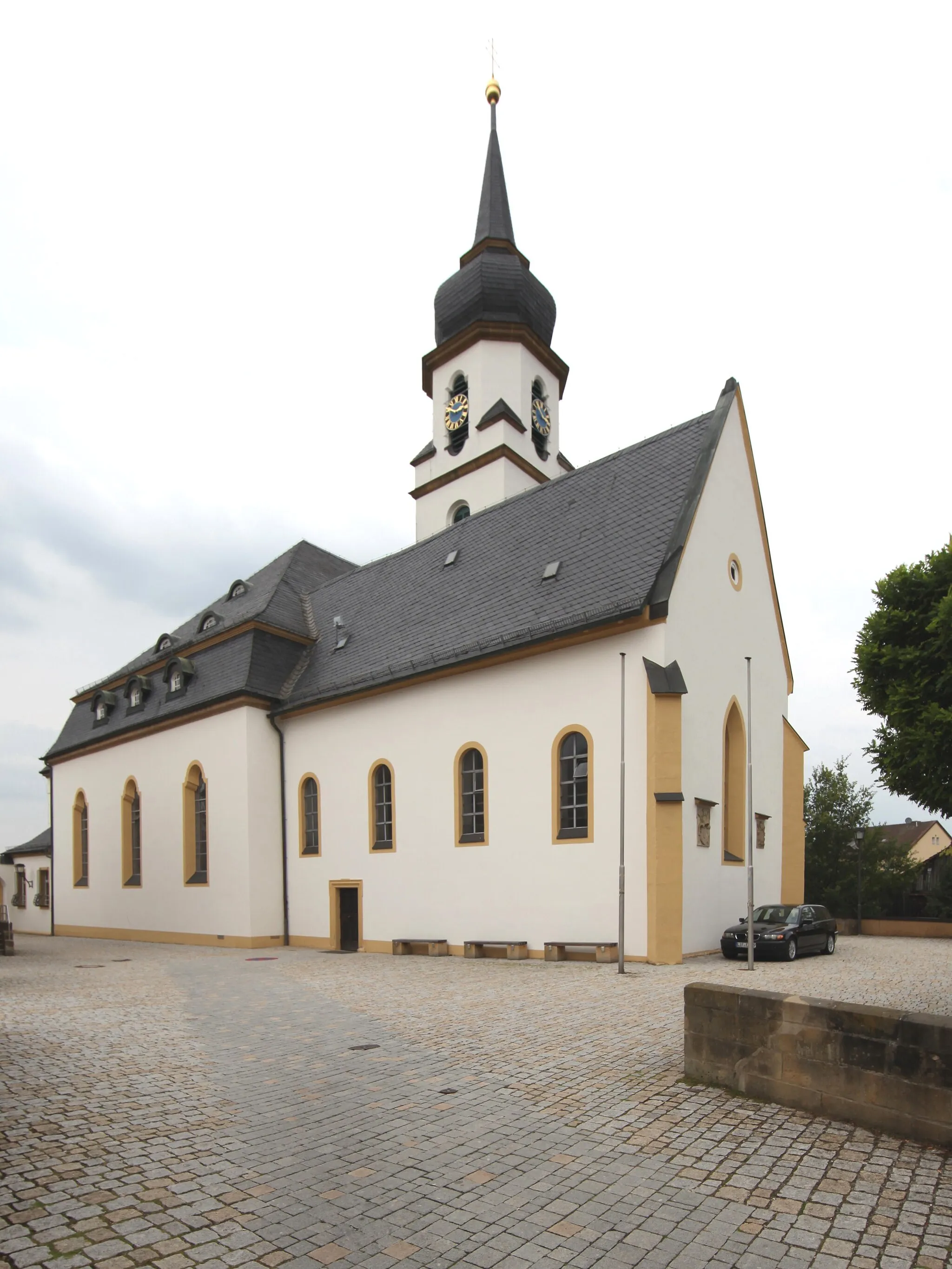
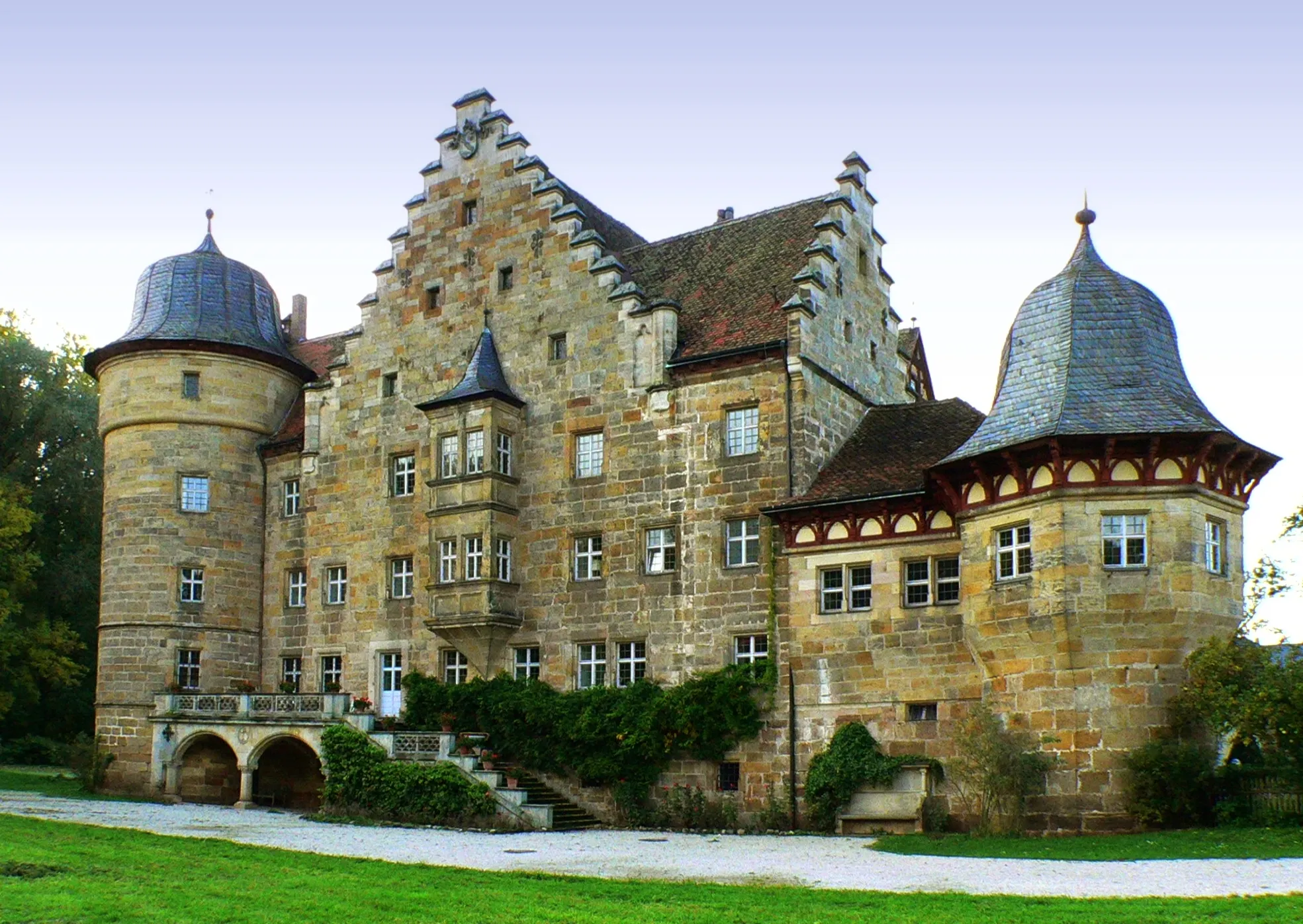
RentweinsdorfVillageRentweinsdorf, situated at a distance of 14 kilometers, is a charming village known for its beautiful gardens and well-preserved historic buildings. Take a moment to explore the village and enjoy its peaceful atmosphere.
22 km
22 km
Ruine RotenhanCastleRuine Rotenhan, located at a distance of 22 kilometers, is the remains of an ancient castle with a fascinating history. Explore the ruins and imagine the grandeur of the past.
33 km
33 km
HimmelreichViewpointHimmelreich, nestled among picturesque hills, offers breathtaking views of the surrounding countryside. It is a perfect spot for those seeking tranquility and natural beauty.
49 km
49 km
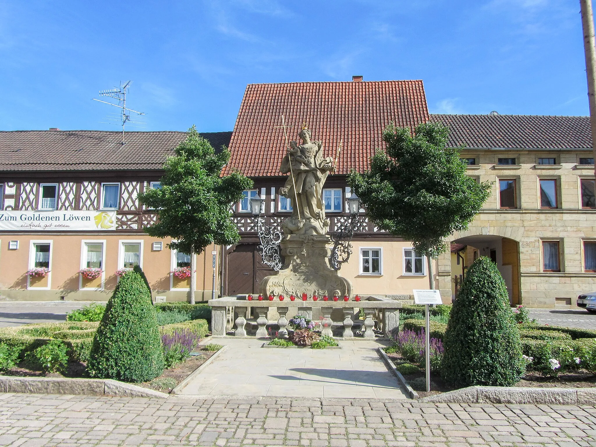
ZapfendorfVillageZapfendorf, located at the end of the route, is a historic town with a rich cultural heritage. Highlights of Zapfendorf include its castle and beautiful churches.
52 km
52 km
Finish: Ebing Village centerZapfendorf: Cycling in rural Germany with scenic landscapes.
Cycling routes from Zapfendorf:
Sauberg Gravel Exploration Scenic Gravel Adventure Challenging Road Cycling Loop Untermerzbach Loop Road Cycling Adventure Gravel Adventure in Itzgrund The Ultimate Tour de Oberfranken Reisberg Roundabout Viele Hügel und herrliche Ausblicke Hilly Gravel Loop Zapfendorf to Memmelsdorf Round Trip Zapfendorf to Baunach Round Trip
Cycling routes nearby: