Hilly Gravel Loop
A gravel cycling route starting from Zapfendorf
A challenging gravel loop with breathtaking viewpoints
Map
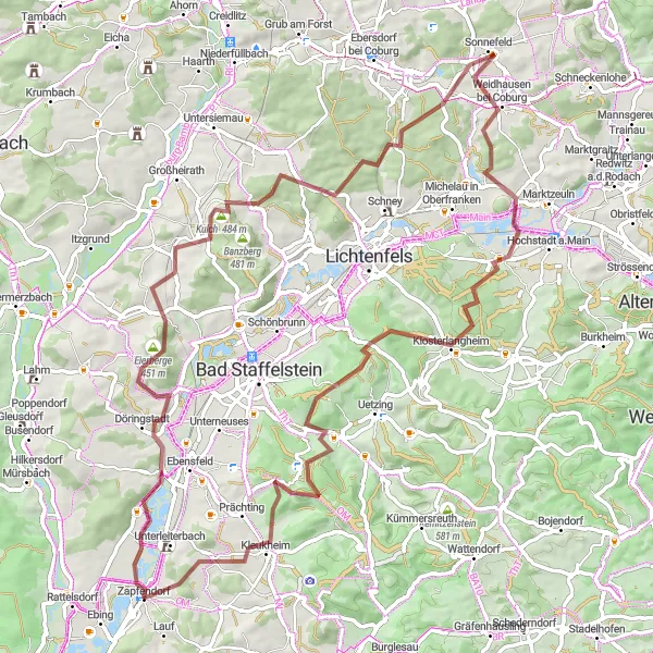
Embark on a hilly adventure with this 83 km gravel loop near Zapfendorf. With an ascent of 1456 meters, this route is perfect for cyclists seeking a challenging ride. Take in the stunning views from various viewpoints along the way.
gravel
83 km
1456 m
Savage
Route profile
Highlights on the route
0 km
0 km
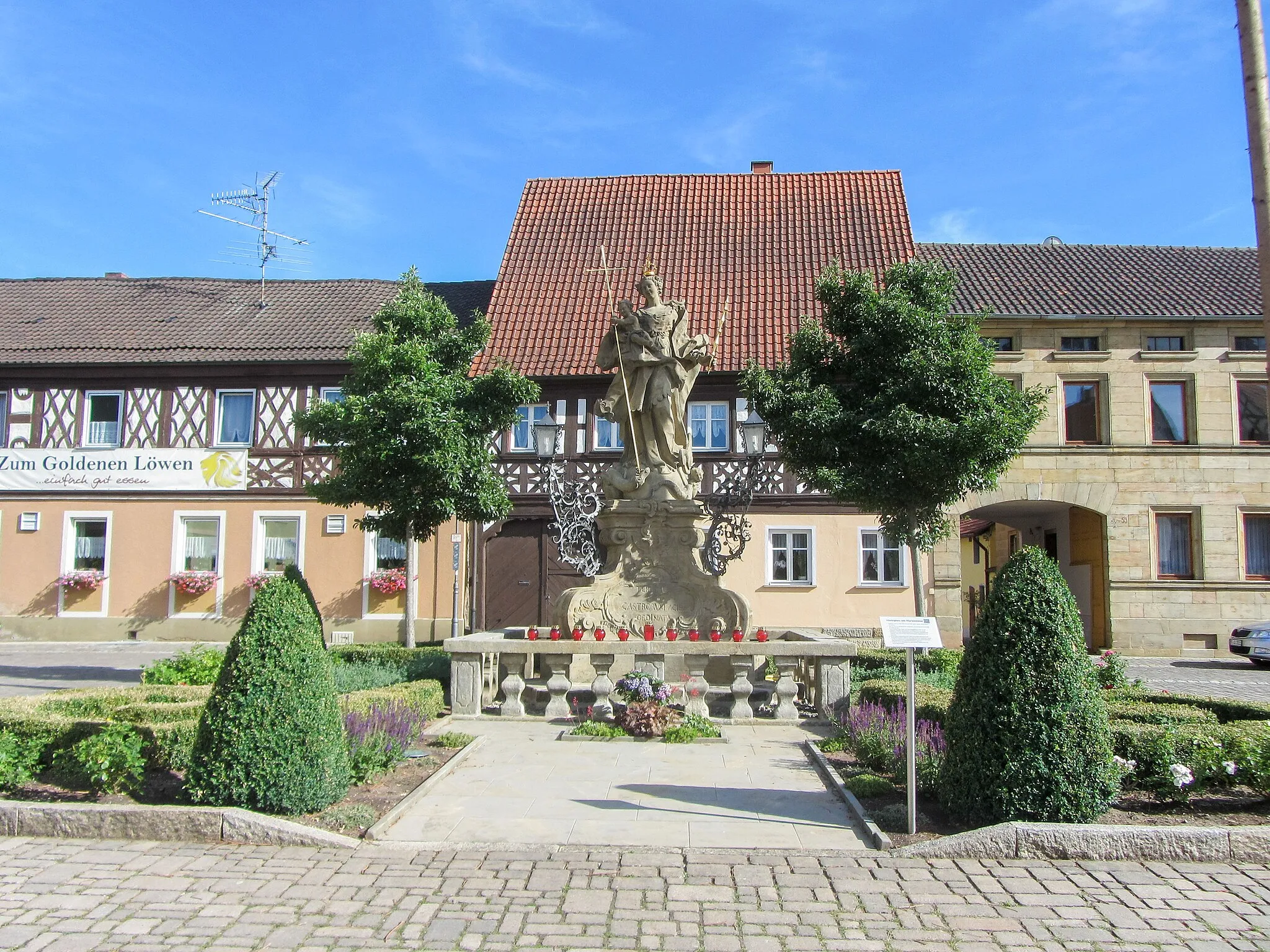
Start: Zapfendorf Village centerZapfendorf: Cycling in rural Germany with scenic landscapes.
Zapfendorf is a small town located in Oberfranken, Germany. The area offers a variety of cycling routes suitable for both road and gravel cyclists. The quiet country roads provide scenic views of the surrounding countryside, with rolling hills and picturesque landscapes. One of the notable climbs nearby is the Staffelberg, which is a popular destination for local cyclists. Zapfendorf itself does not have any famous cycling spots, but its proximity to other cycling-friendly areas makes it a great base for exploring the region. Overall, Zapfendorf ranks as a 3 for its moderate cycling opportunities.6 km
6 km
OberbrunnVillagePass through Oberbrunn, a serene village with beautiful rural landscapes.
14 km
14 km
Eierberge451 mPeakExperience the Eierberge, a set of small hills with scenic viewpoints.
23 km
23 km
Kulch484 mPeakVisit Kulch, a hidden gem known for its quaint charm and historic buildings.
27 km
27 km
Buch am ForstVillageDiscover Buch am Forst, a picturesque village surrounded by dense forests.
35 km
35 km
Hohe Aßlitz379 mPeakAscend to Hohe Aßlitz, a hill offering panoramic views of the surrounding countryside.
40 km
40 km
SonnefeldVillageExplore Sonnefeld, a charming town with a historic market square.
48 km
48 km
SchwürbitzVillagePass through Schwürbitz, a picturesque village surrounded by lush greenery.
65 km
65 km
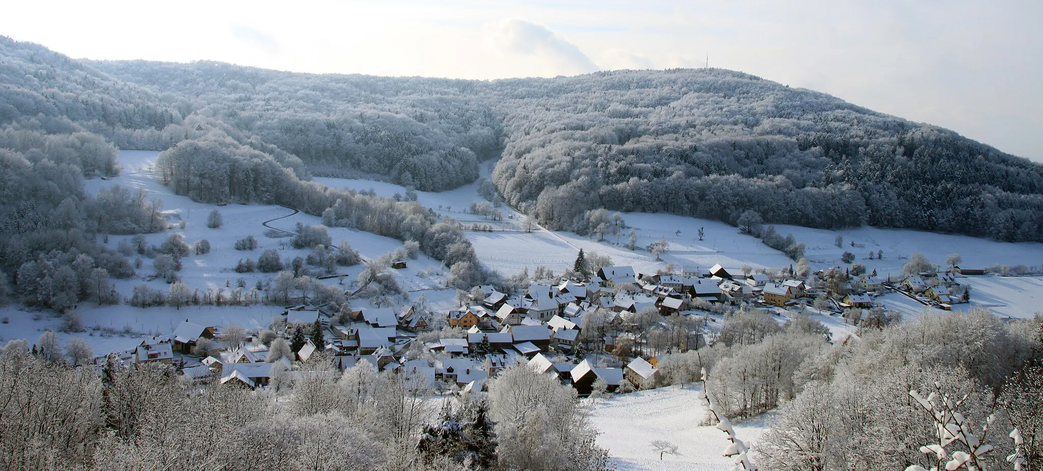
Staffelberg539 mPeakMarvel at the majestic Staffelberg, a famous landmark known for its imposing cliffs.
73 km
73 km
Ansberg460 mPeakVisit Ansberg, a small village with a notable medieval castle.
83 km
83 km
ZapfendorfVillageReturn to Zapfendorf, the starting and ending point of this exciting gravel loop.
83 km
83 km
Finish: Zapfendorf Village centerZapfendorf: Cycling in rural Germany with scenic landscapes.
Cycling routes from Zapfendorf:
Sauberg Gravel Exploration Scenic Gravel Adventure Challenging Road Cycling Loop Untermerzbach Loop Road Cycling Adventure Gravel Adventure in Itzgrund The Ultimate Tour de Oberfranken Reisberg Roundabout Viele Hügel und herrliche Ausblicke Hilly Gravel Loop Zapfendorf to Memmelsdorf Round Trip Zapfendorf to Baunach Round Trip
Cycling routes nearby: