Viele Hügel und herrliche Ausblicke
A gravel cycling route starting from Zapfendorf
Radfahren auf Schotterwegen durch malerische Dörfer und schöne Landschaften
Map
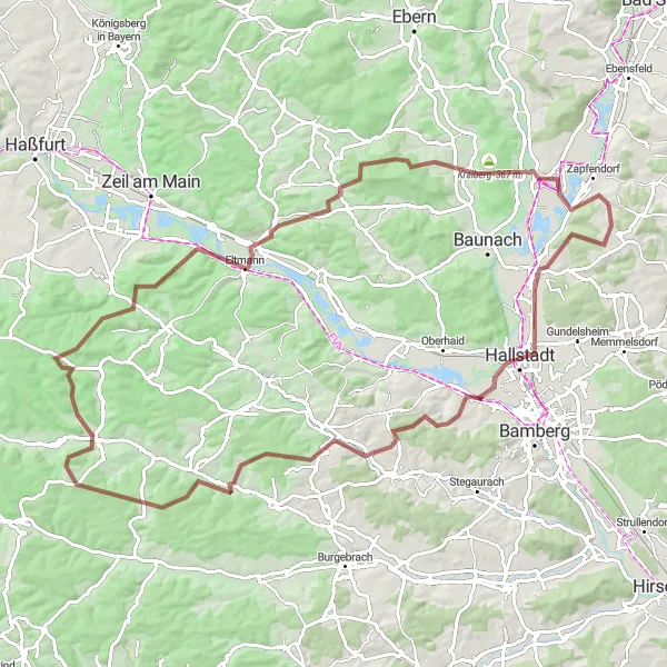
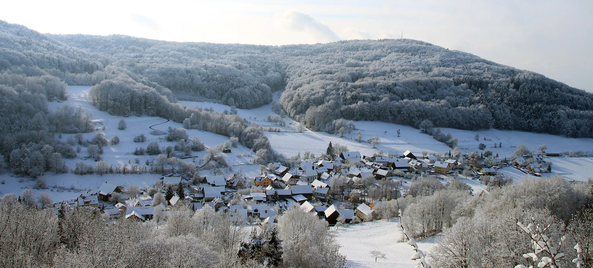
Diese 98 km lange Gravel-Strecke bietet eine hügelige Landschaft und atemberaubende Ausblicke entlang des Weges. Es ist ideal für Radfahrer, die eine Herausforderung suchen und der malerischen deutschen Landschaft näherkommen möchten. Mit einer Gesamtsteigung von 1522 Metern bietet die Route sowohl Anfängern als auch erfahrenen Radfahrern eine anspruchsvolle Fahrt. Die Highlights entlang der Strecke sind zahlreich, darunter das charmante Hallstadt, das nur 13 km entfernt liegt, der malerische Ort Lisberg 28 km entfernt und das bezaubernde Prölsdorf 38 km entfernt.
gravel
98 km
1522 m
Tough
Route profile
Highlights on the route
0 km
0 km
Start: Lauf Village centerZapfendorf: Cycling in rural Germany with scenic landscapes.
Zapfendorf is a small town located in Oberfranken, Germany. The area offers a variety of cycling routes suitable for both road and gravel cyclists. The quiet country roads provide scenic views of the surrounding countryside, with rolling hills and picturesque landscapes. One of the notable climbs nearby is the Staffelberg, which is a popular destination for local cyclists. Zapfendorf itself does not have any famous cycling spots, but its proximity to other cycling-friendly areas makes it a great base for exploring the region. Overall, Zapfendorf ranks as a 3 for its moderate cycling opportunities.13 km
13 km
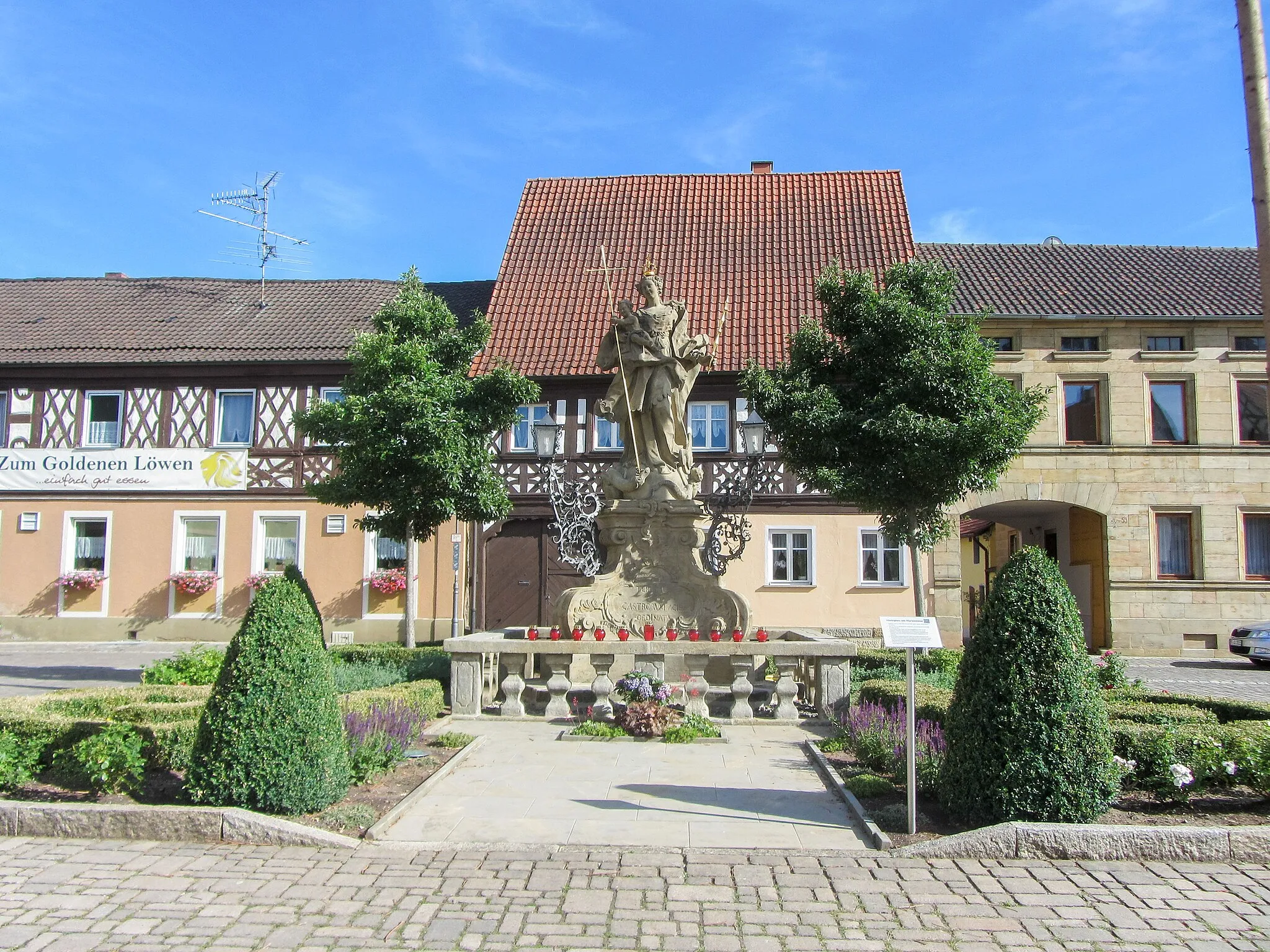
HallstadtTownHallstadt ist ein charmantes Dorf mit historischem Charme und einem malerischen Flussufer.
28 km
28 km
LisbergVillageLisberg bietet einen malerischen Blick auf die umliegenden Hügel und Täler.
38 km
38 km
PrölsdorfVillagePrölsdorf ist umgeben von idyllischen Feldern und Obstplantagen, die das Radfahren zu einem visuellen Vergnügen machen.
48 km
48 km
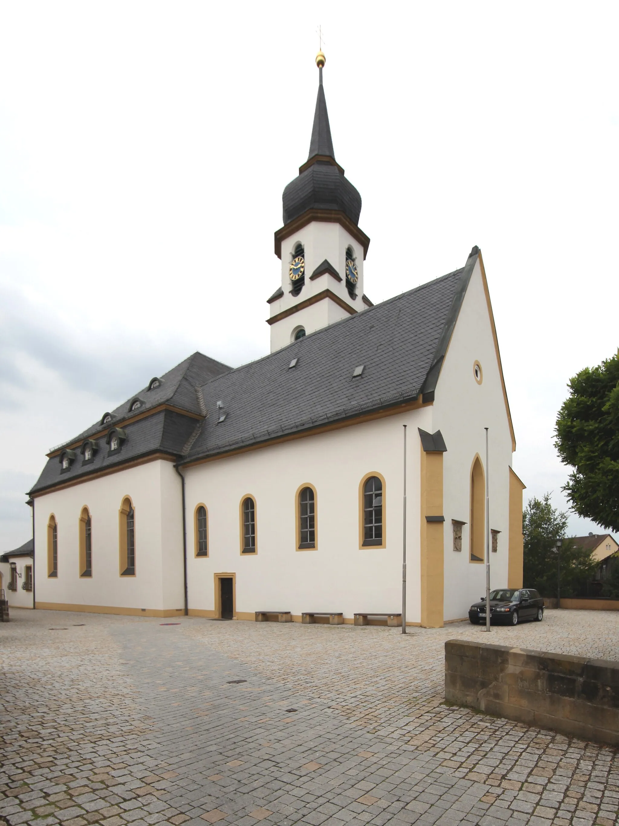
WustvielVillageWustviel besticht durch seine Fachwerkhäuser und historische Architektur.
59 km
59 km
Beerberg480 mPeakDer Beerberg bietet eine atemberaubende Aussicht auf die umliegende Landschaft und ist bei Radfahrern sehr beliebt.
73 km
73 km
GleisenauVillageGleisenau bietet die Möglichkeit, historische Hauptverkehrsstraßen und Plätze zu erkunden.
84 km
84 km
Hafenberg310 mPeakHafenberg ist von schönem Grün umgeben und bietet erholsame Ausblicke auf die Natur.
92 km
92 km
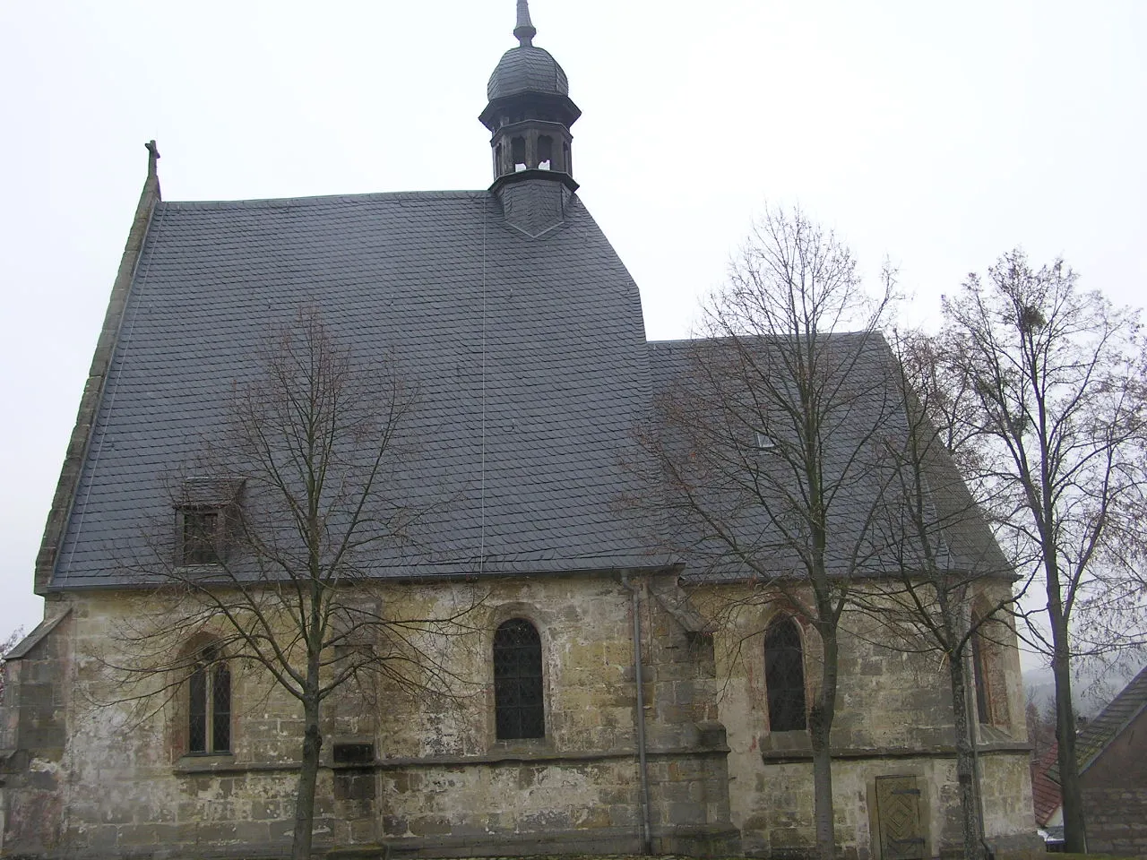
RattelsdorfVillageRattelsdorf ist bekannt für seine traditionellen Bauernhöfe und lokalen Feste.
98 km
98 km
Finish: Lauf Village centerZapfendorf: Cycling in rural Germany with scenic landscapes.
Cycling routes from Zapfendorf:
Sauberg Gravel Exploration Scenic Gravel Adventure Challenging Road Cycling Loop Untermerzbach Loop Road Cycling Adventure Gravel Adventure in Itzgrund The Ultimate Tour de Oberfranken Reisberg Roundabout Viele Hügel und herrliche Ausblicke Hilly Gravel Loop Zapfendorf to Memmelsdorf Round Trip Zapfendorf to Baunach Round Trip
Cycling routes nearby: