Altenthann Road Challenge
A road cycling route starting from Altenthann
Take on a demanding road cycling challenge starting from Altenthann and conquer epic hills along the way
Map

With a distance of 143 km and an ascent of 1688 m, this road cycling route presents a fulfilling challenge for experienced riders. Starting from Altenthann, the route explores scenic landscapes and cultural landmarks. The difficulty level of this circuit is rated at 5, making it suitable for seasoned cyclists seeking an extreme test of endurance. The epicness rating for this route is 4, providing opportunities to conquer legendary climbs and admire famous spots.
road
143 km
1688 m
Savage
Route profile
Highlights on the route
0 km
0 km
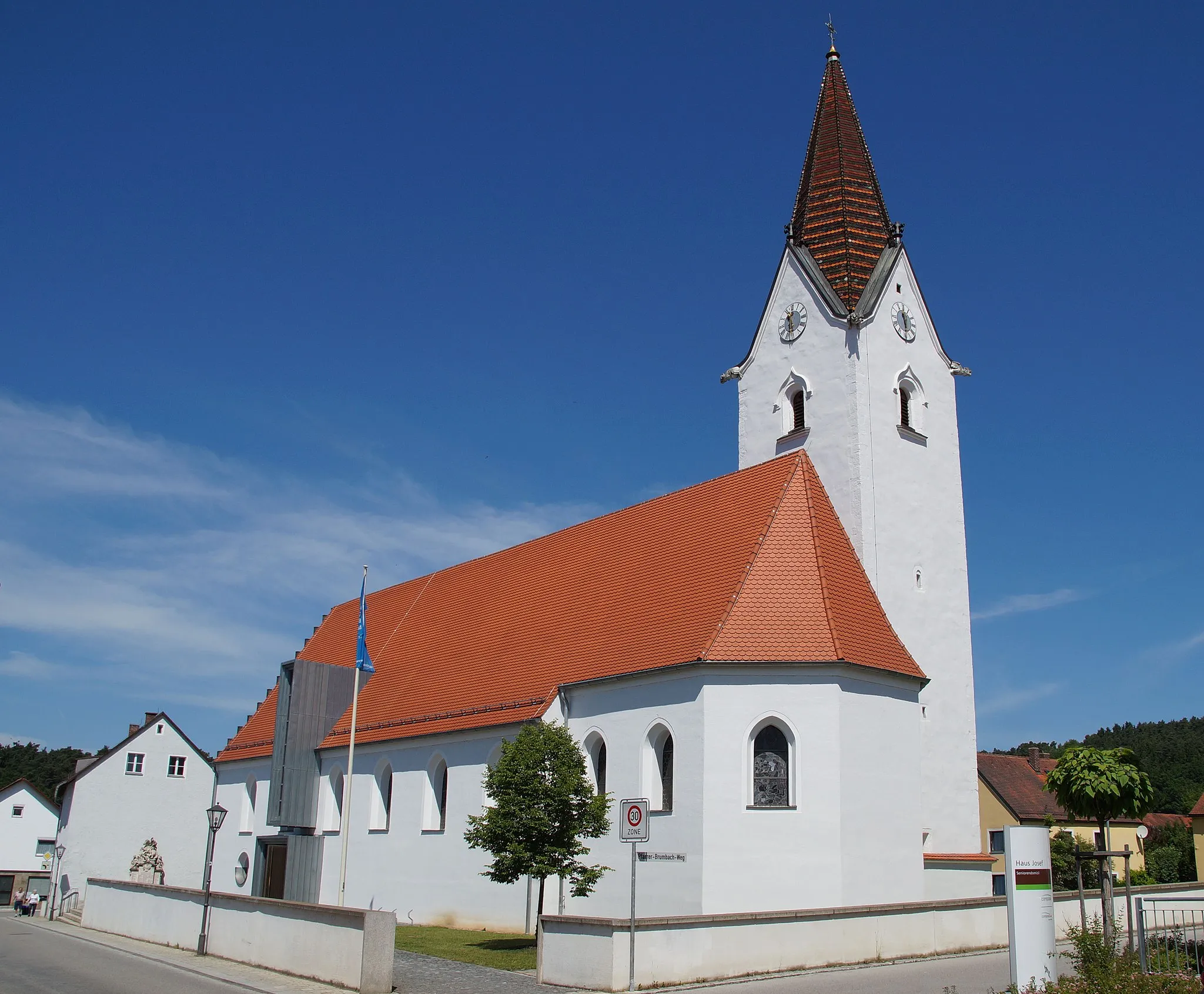
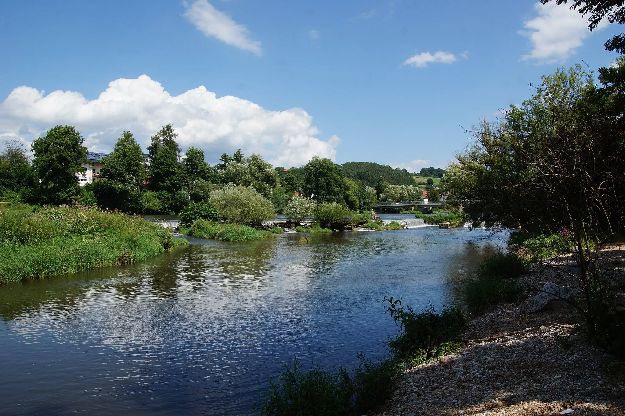
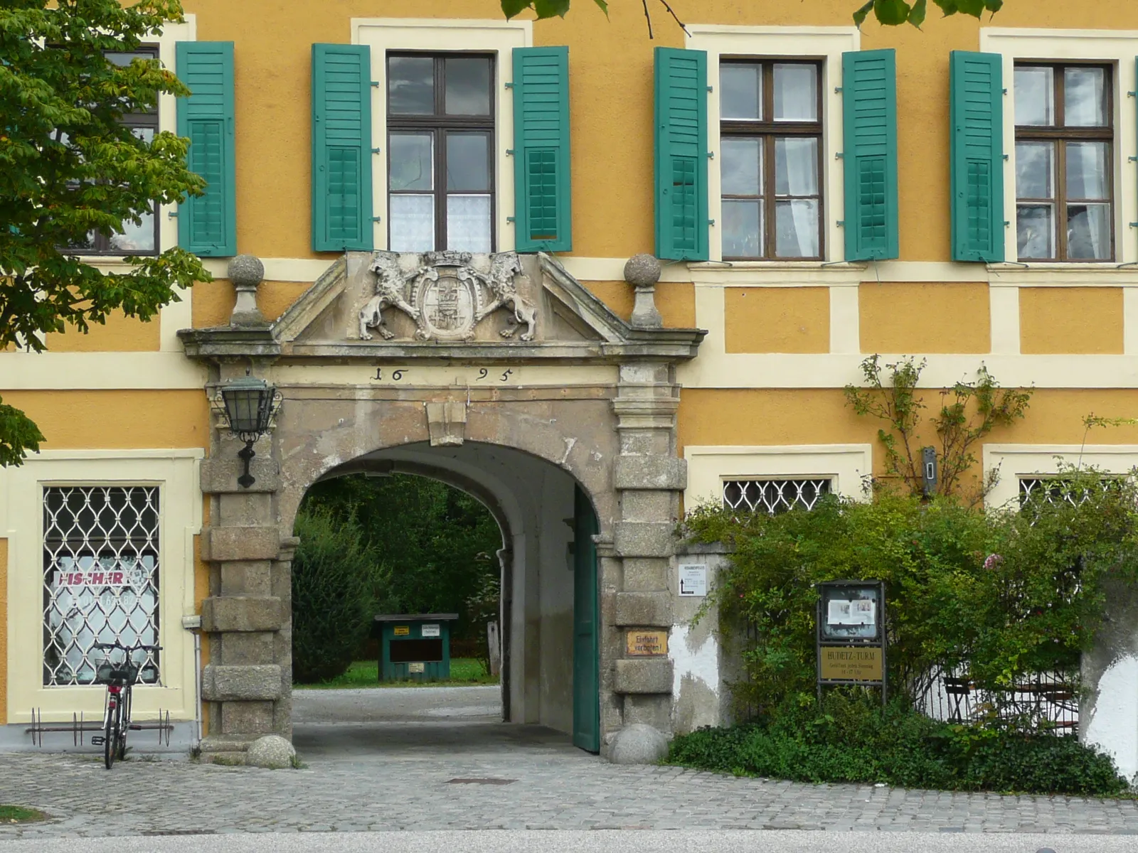
Start: Altenthann Village centerAltenthann: Authentic German countryside cycling with challenging climbs.
Altenthann is a locality located in the Oberpfalz region of Germany. The area is characterized by rolling hills and picturesque countryside, making it suitable for road and gravel cyclists. The roads are generally quiet and well-maintained, providing enjoyable riding conditions. Altenthann itself is a small village with historical charm, including the 13th-century St.Bartholomew Church. From a cycling perspective, the area offers a few notable climbs such as the Kalmreuth-Hora climb and the Schwarzach loop. These climbs attract cyclists looking for a challenge amidst beautiful surroundings. Altenthann is an ideal destination for cyclists interested in exploring the authentic German countryside while tackling rewarding climbs.11 km
11 km
DonaustaufVillageDonaustauf boasts the iconic Walhalla monument, honoring important figures in German history and offering majestic views.
16 km
16 km
Keilstein450 mPeakKeilstein is a challenging climb that rewards cyclists with panoramic views of the Danube River and surrounding landscapes.
35 km
35 km
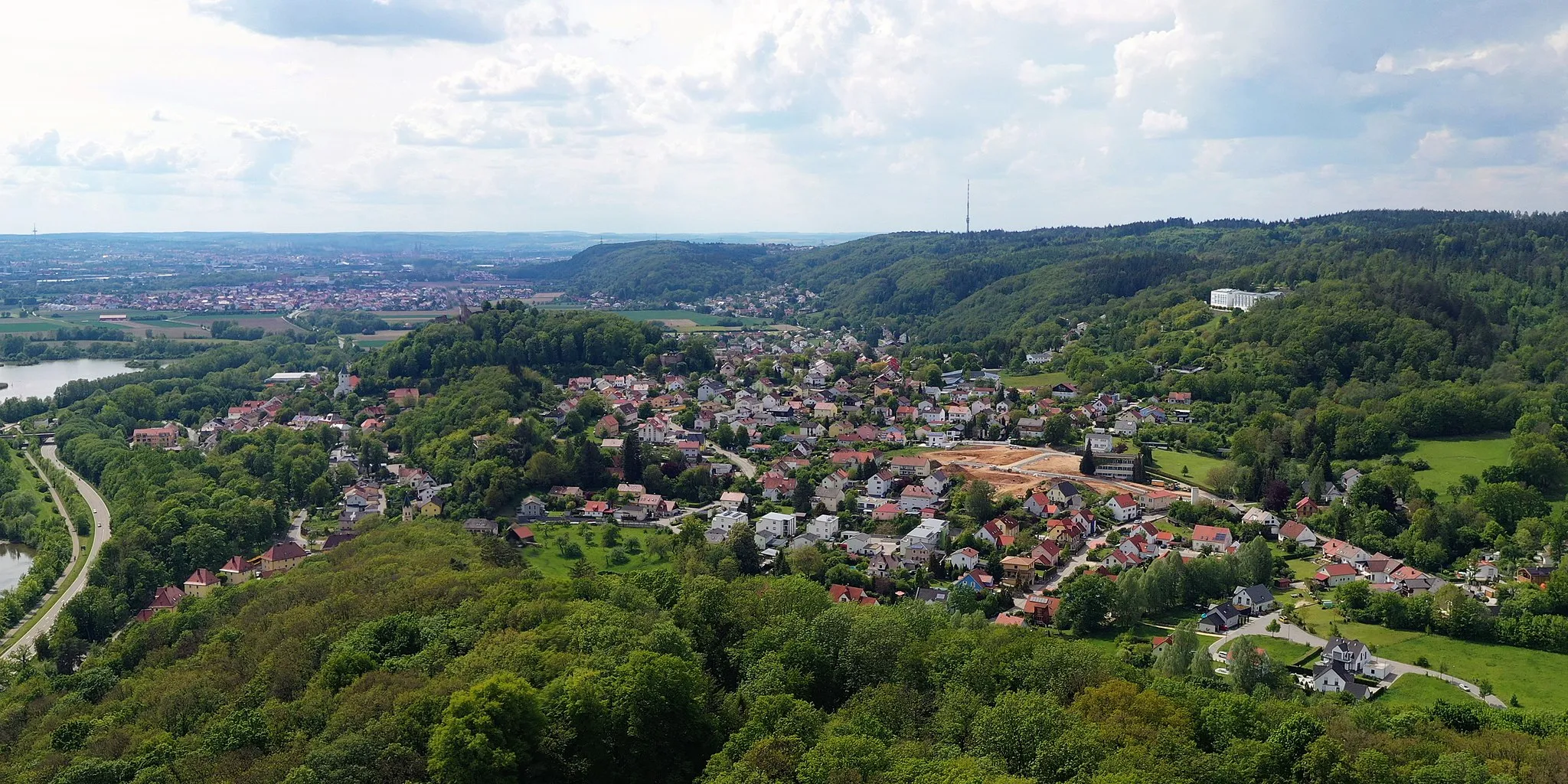
PielenhofenVillagePielenhofen is home to a stunning monastery, showcasing architectural beauty and tranquil surroundings.
49 km
49 km
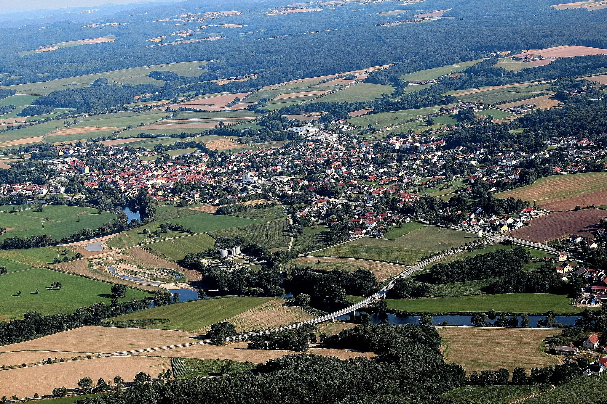
OberpfraundorfVillageOberpfraundorf invites cyclists to explore its charming village center and immerse themselves in the local Bavarian culture.
68 km
68 km
König-Otto-TropfsteinhöhleAttractionKönig-Otto-Tropfsteinhöhle is a famous dripstone cave that fascinates visitors with its unique geological formations.
68 km
68 km
SchwammerlViewpointSchwammerl is a renowned lookout point that rewards cyclists with breathtaking panoramic views of the region.
91 km
91 km
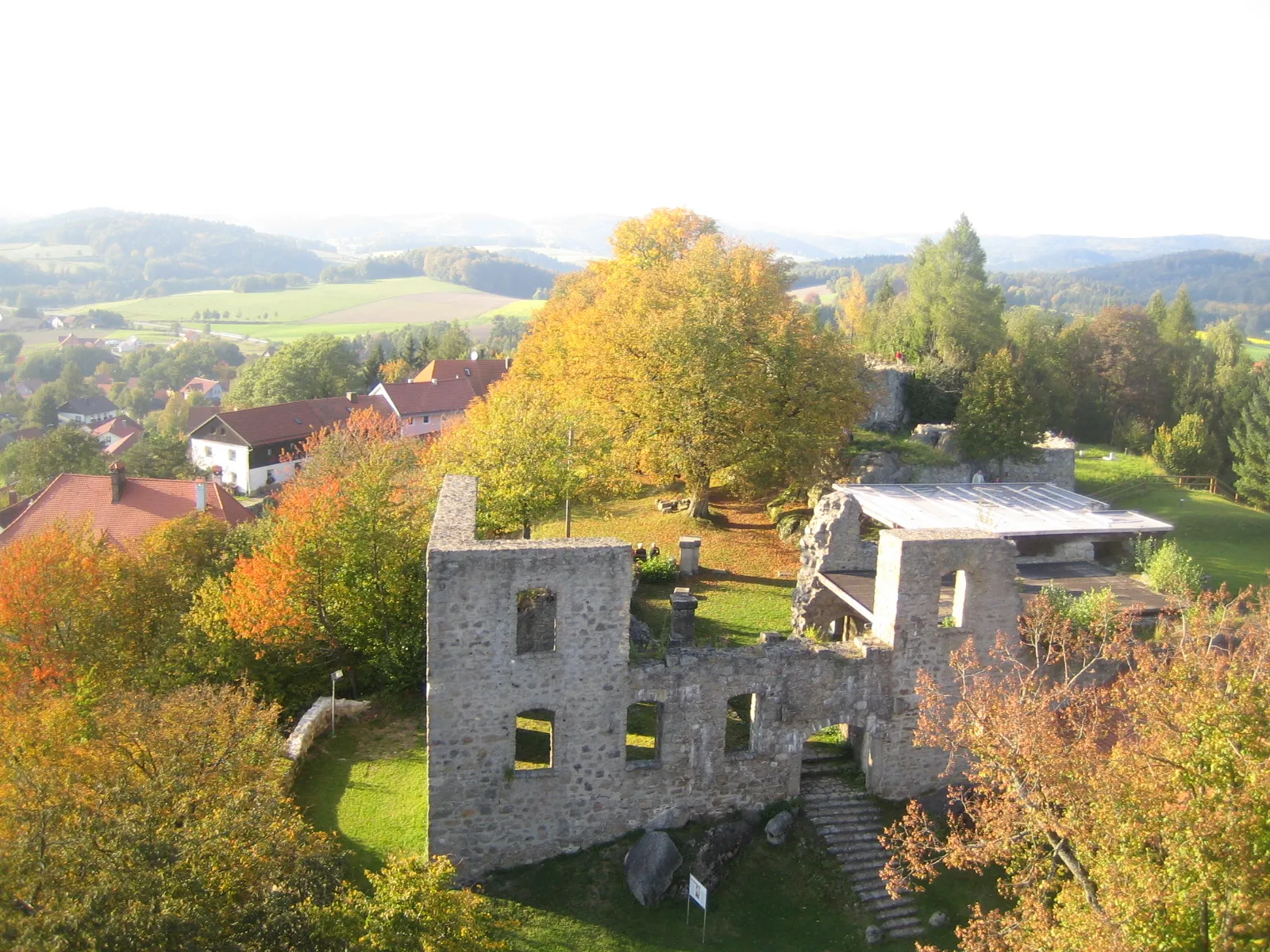
HohenburgVillageHohenburg stands as a medieval town with well-preserved architecture, offering a glimpse into the region's rich history.
114 km
114 km
Muenchshofener BergViewpointMuenchshofener Berg presents cyclists with a challenging climb and scenic views of the surrounding landscapes.
114 km
114 km
PrembergVillagePremberg is a picturesque hill to conquer, rewarding cyclists with stunning vistas and a sense of accomplishment.
143 km
143 km
AltenthannVillageAltenthann serves as both the starting and endpoint of this challenging road cycling route.
143 km
143 km
Finish: Altenthann Village centerAltenthann: Authentic German countryside cycling with challenging climbs.
Cycling routes from Altenthann:
Altenthann to Göppenbach Loop Nittenau to Pfaffenfang Circuit Altenthann Gravel Adventure Altenthann Loop with Gravel Sections Altenthann Castle Tour Altenthann Gravel Loop Altenthann Road Adventure Bernhardswald Gravel Exploration Altenthann Road Challenge Altenthann Gravel Adventure Altenthann-Neubäu Round Trip
Cycling routes nearby: