Königstein Gravel Tour
A gravel cycling route starting from Koenigstein
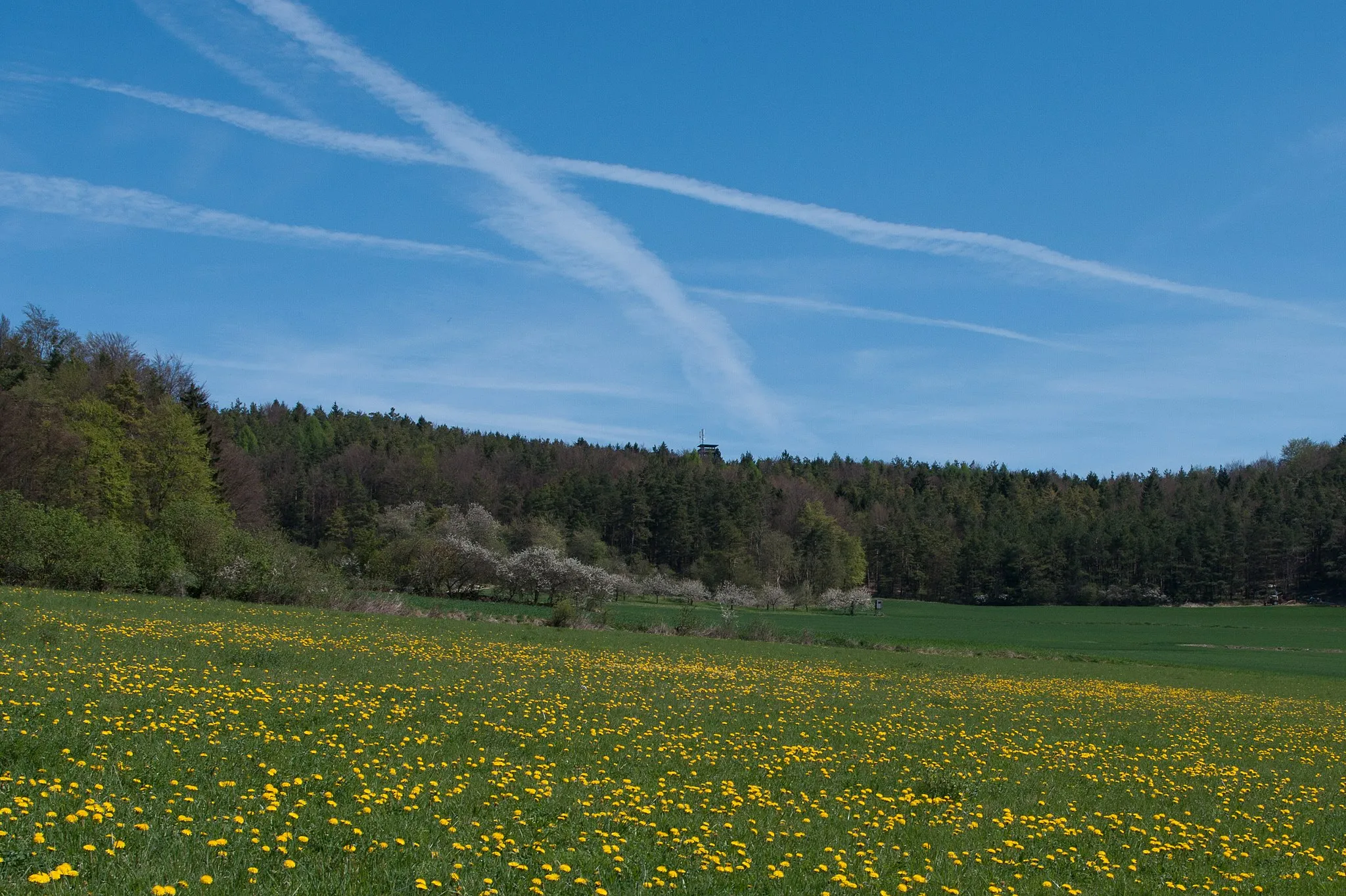
Discover the diverse landscapes and charming towns of the Oberpfalz region.
Map

Embark on a scenic gravel tour starting near Königstein and explore the picturesque Ossinger, Neuhaus a.d.Pegnitz, Atzenberg, Buchauer Berg, and more. This challenging route covers a total distance of 63 km with 1056 meters of ascent. Experience the rugged beauty of gravel cycling while enjoying stunning views and historical highlights.
gravel
63 km
1056 m
Tough
Route profile
Highlights on the route
0 km
0 km
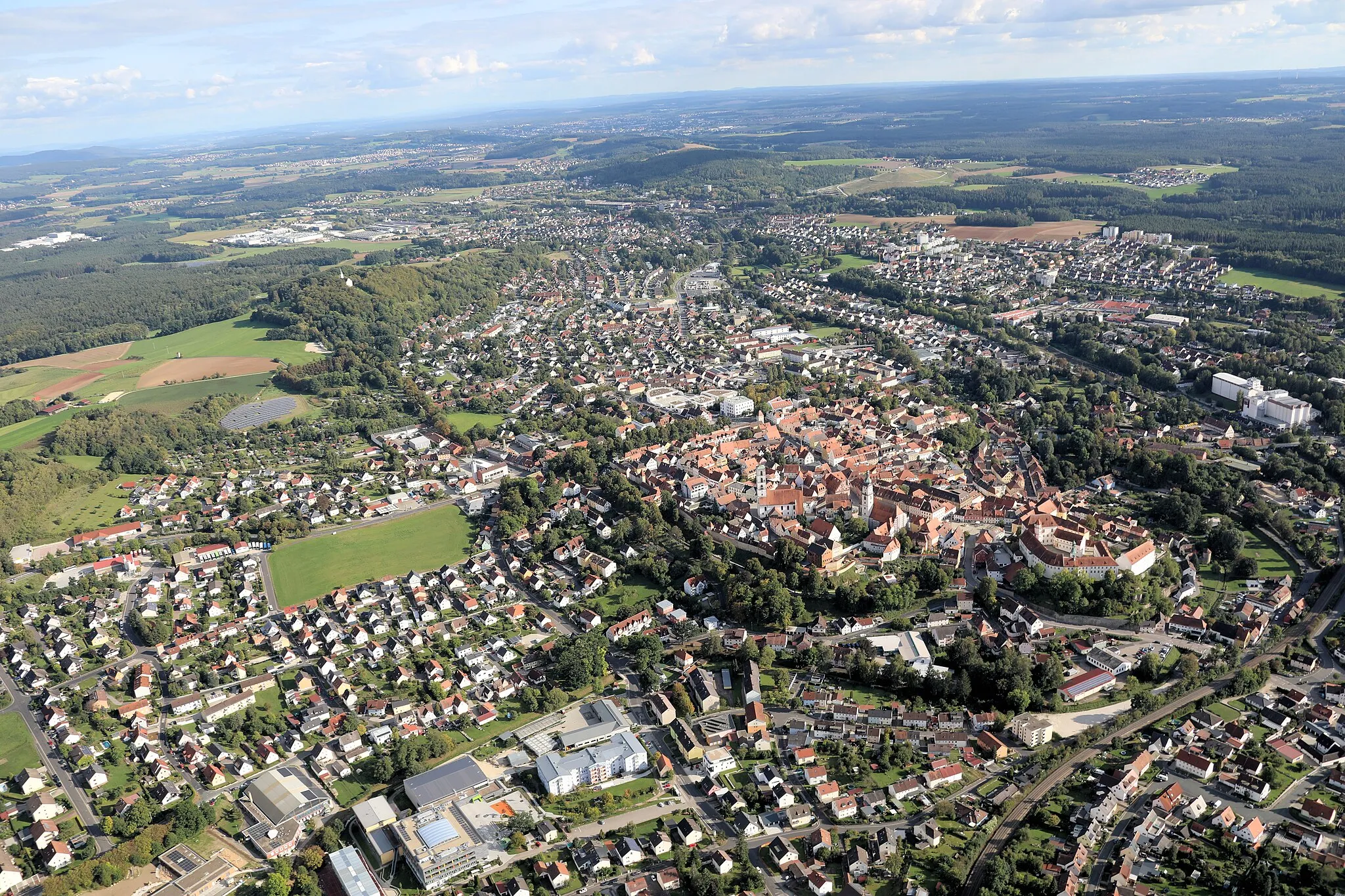
Start: Königstein Village centerKönigstein: Cycling and Bavarian charm in Königstein
Königstein is a picturesque town located in Oberpfalz, Germany. As a road and gravel cyclist, you will be delighted by the beautiful scenic routes surrounding Königstein. The hilly terrain of this region offers challenging climbs and thrilling descents. One of the most famous cycling spots nearby is the Königstein Castle, which offers a stunning view of the surrounding countryside. With its charming streets and welcoming atmosphere, Königstein is a great destination for cycling enthusiasts. The region is also known for its traditional Bavarian cuisine, making it a perfect place for food and cycling lovers alike.1 km
1 km
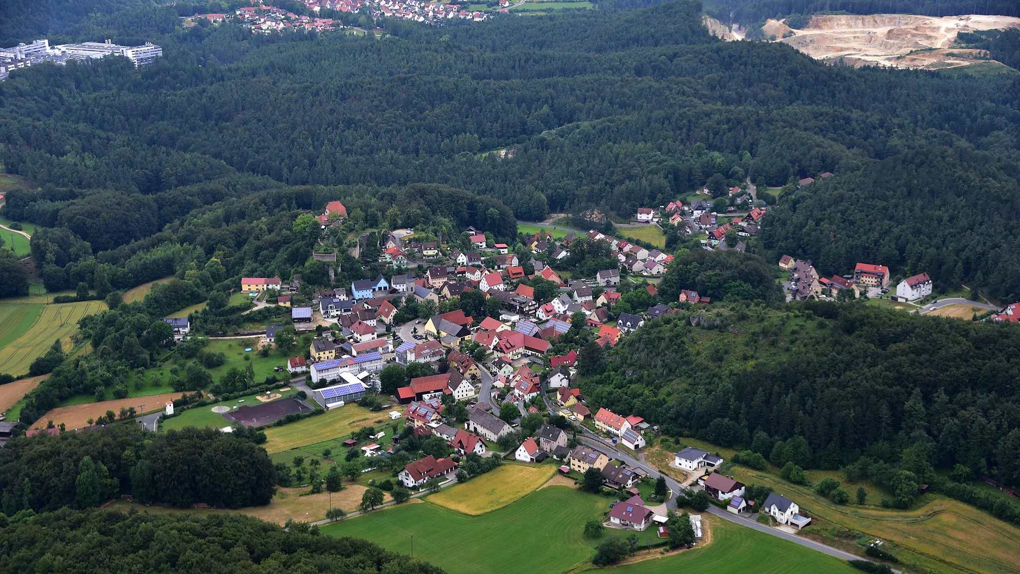
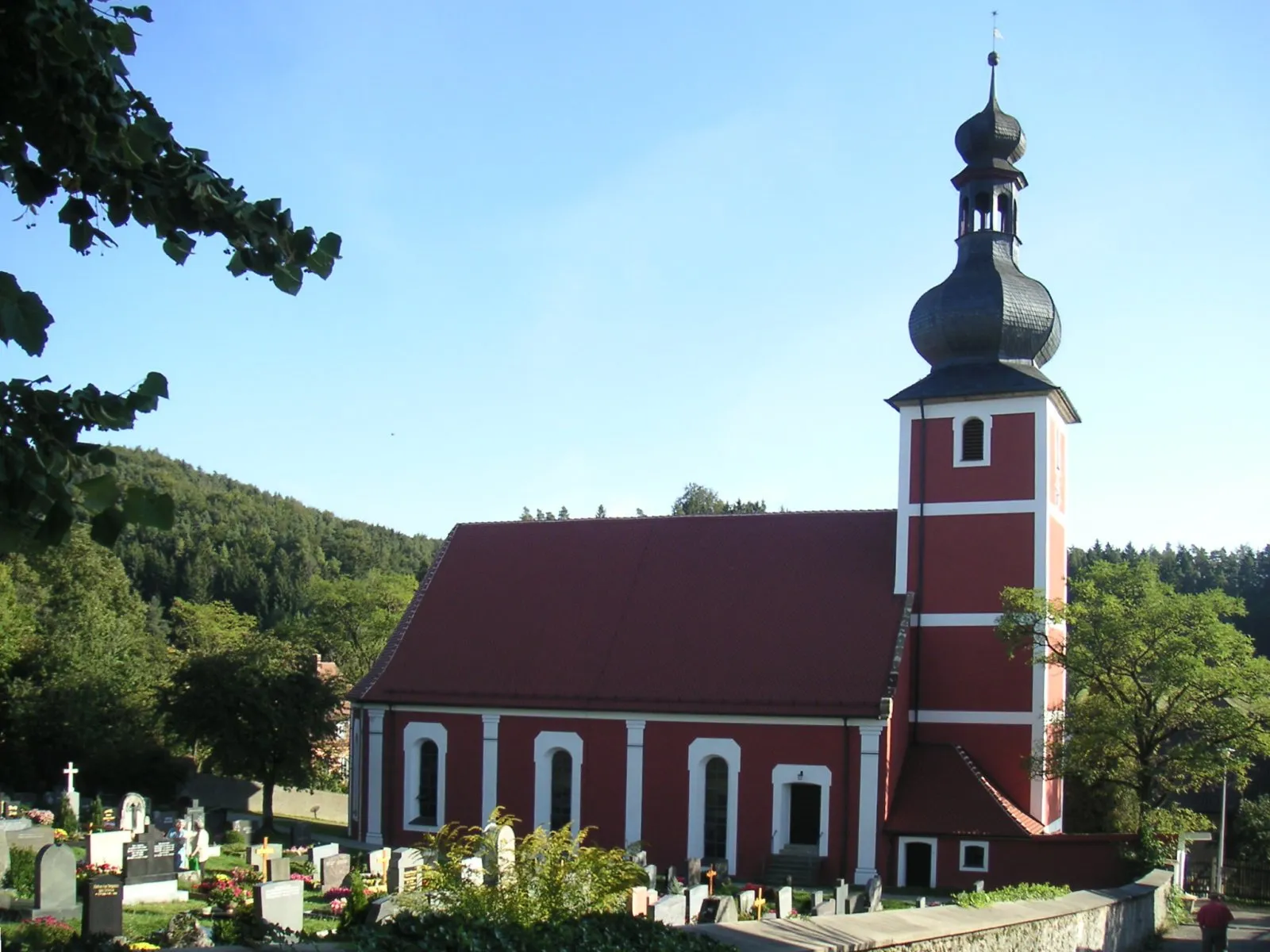
Ossinger651 mPeakOssinger is a quaint Bavarian village known for its traditional architecture and serene atmosphere.
9 km
9 km
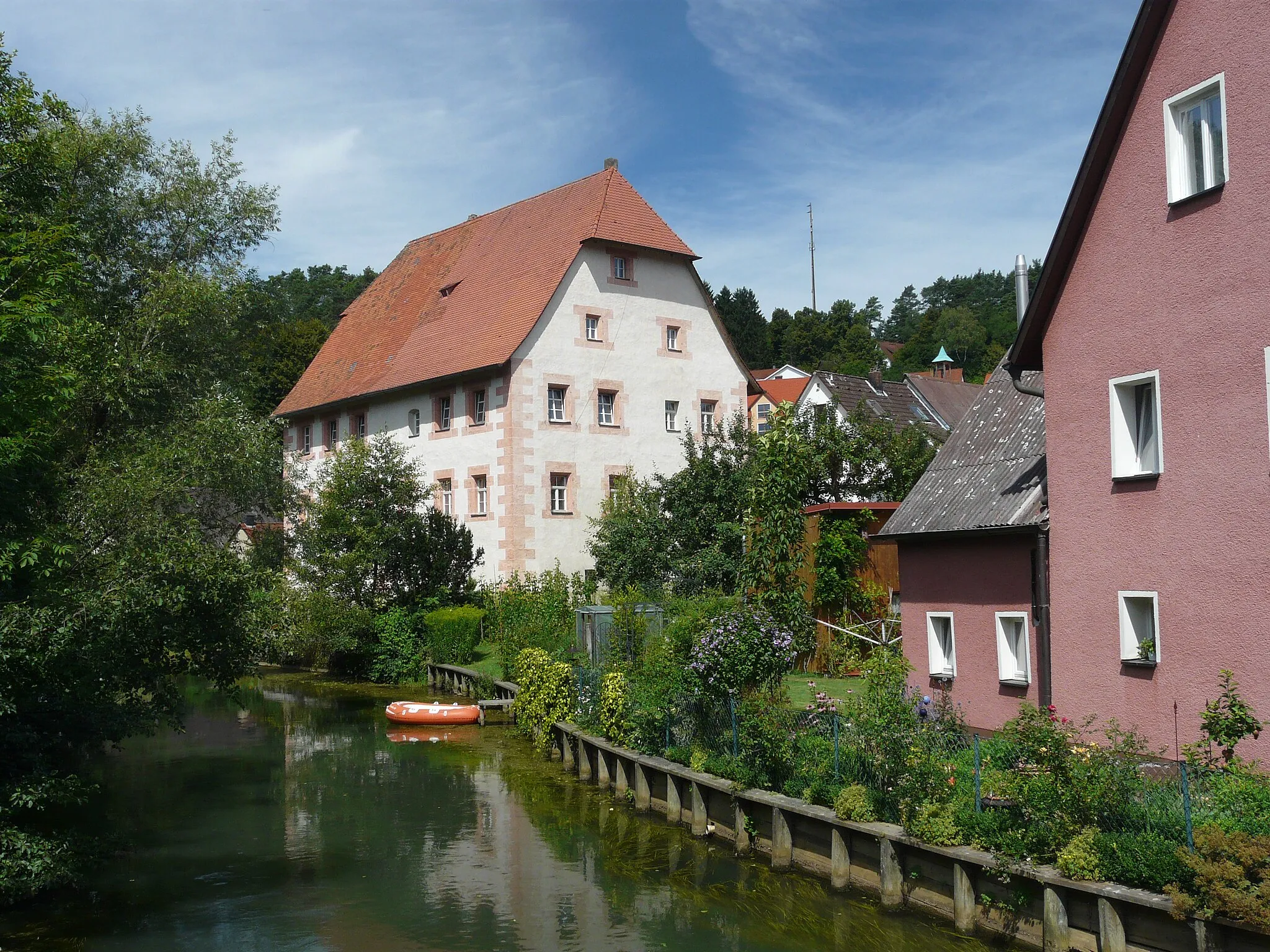
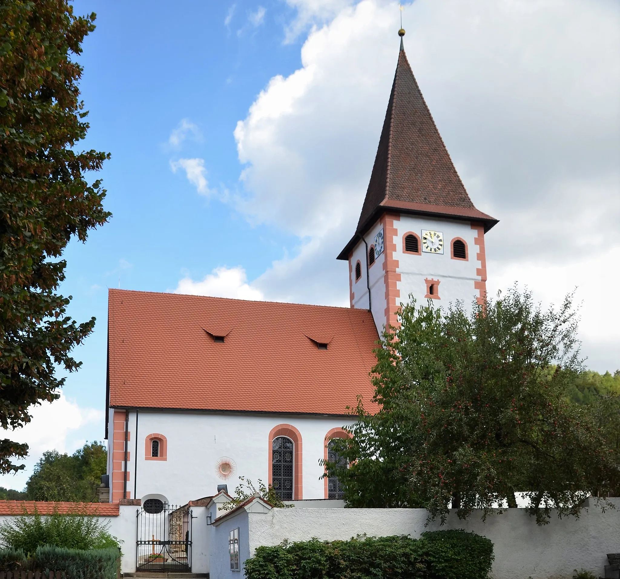
Neuhaus a.d.PegnitzVillageNeuhaus a.d.Pegnitz offers a charming historic town center and beautiful surrounding nature.
27 km
27 km
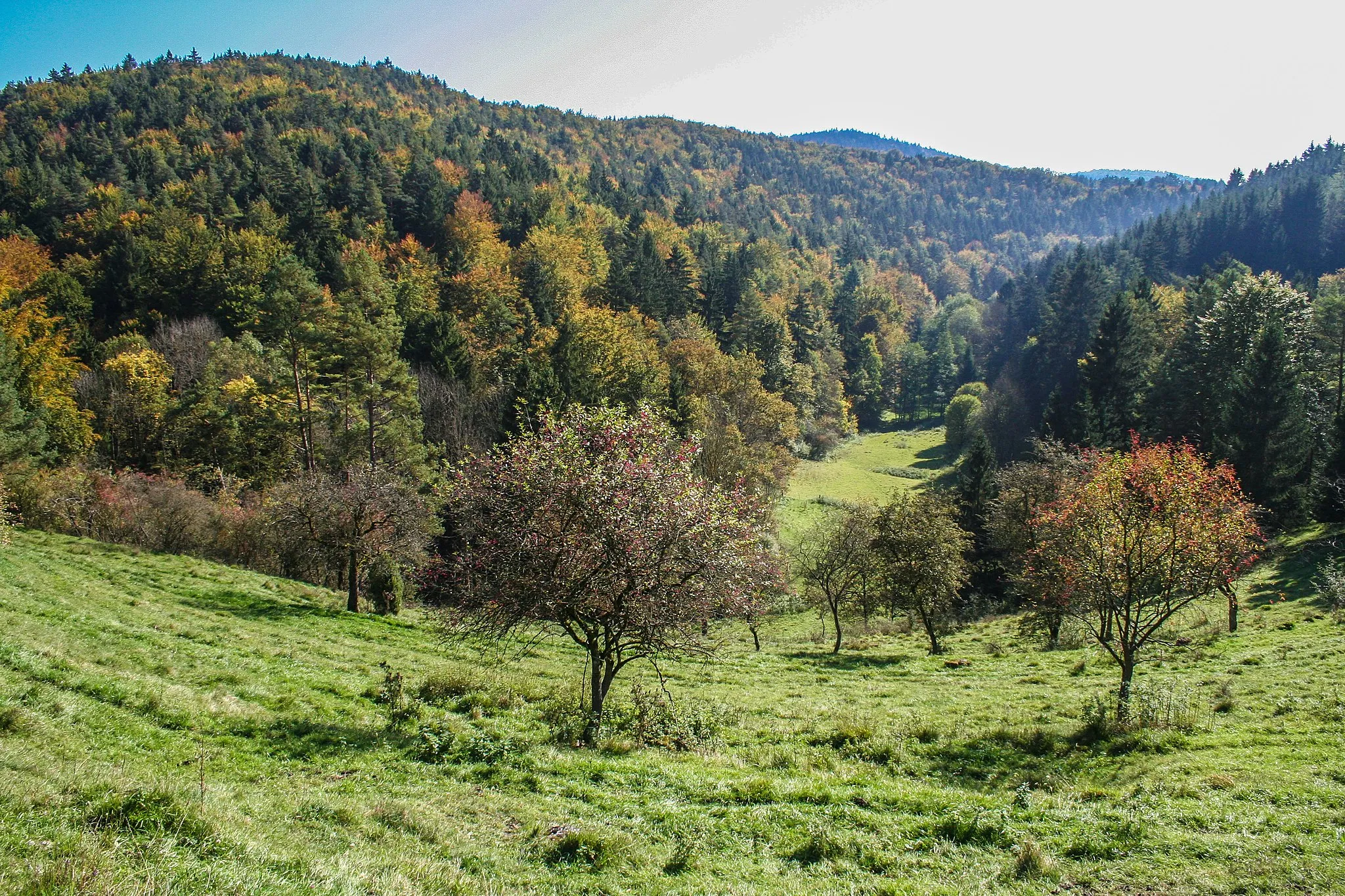
Atzenberg467 mPeakExperience panoramic views from the top of Atzenberg and marvel at the vast Oberpfalz landscape.
36 km
36 km
Buchauer Berg485 mPeakBuchauer Berg is a challenging climb rewarded with breathtaking views of the surrounding countryside.
37 km
37 km
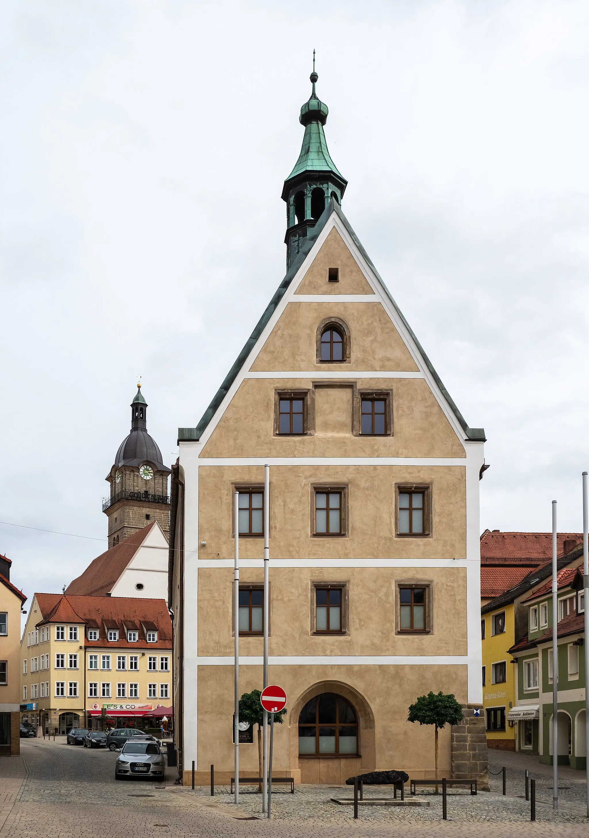
PegnitzTownPegnitz is a picturesque town located along the banks of the Pegnitz river, featuring charming streets and historic buildings.
45 km
45 km
Ohrenbach-BlickViewpointEnjoy a stunning vista of Ohrenbach-Blick, a scenic lookout point offering panoramic views of the Oberpfalz region.
50 km
50 km
Auerbach in der OberpfalzTownDiscover the historic town of Auerbach in der Oberpfalz, known for its well-preserved architecture and cultural landmarks.
60 km
60 km
Hohe Richt610 mPeakHohe Richt is a scenic viewpoint offering a unique perspective on the surrounding natural landscapes.
63 km
63 km
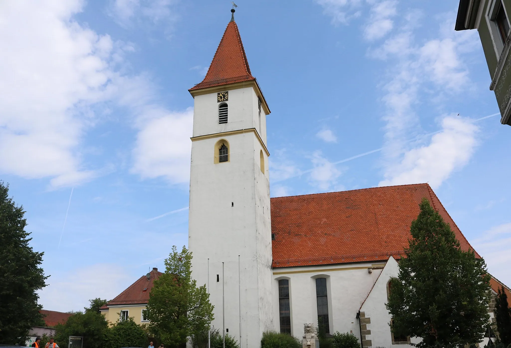
KönigsteinVillageKönigstein is the starting and ending point of the route, showcasing its charming Bavarian atmosphere and rich historical heritage.
63 km
63 km
Finish: Königstein Village centerKönigstein: Cycling and Bavarian charm in Königstein
Cycling routes nearby: