Oberpfalz Road Adventure
A road cycling route starting from Koenigstein
Conquer challenging climbs and immerse yourself in the beauty of the Oberpfalz region.
Map
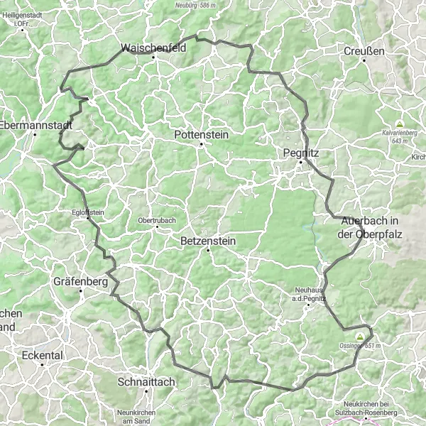
Embark on an epic road adventure starting near Königstein and explore the stunning countryside of Oberpfalz. This 137 km route features 2613 meters of ascent, offering a challenging yet rewarding journey for road cycling enthusiasts. Highlights include Petrus, Hirschbach, Simmelsdorf, Muggendorf, Waischenfeld, and many more. Immerse yourself in pristine landscapes and breathtaking views as you tackle these legendary roads.
road
137 km
2613 m
Savage
Route profile
Highlights on the route
0 km
0 km
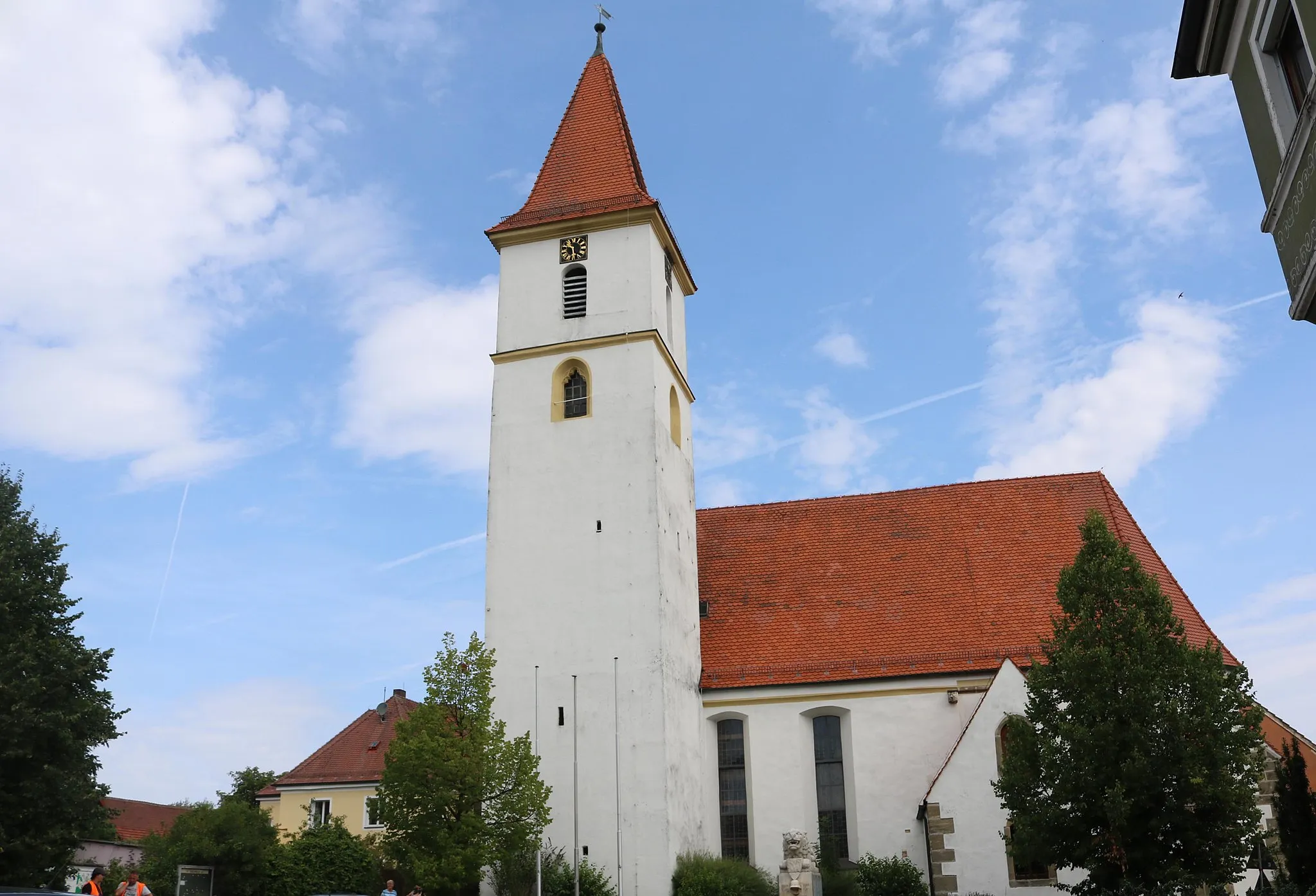
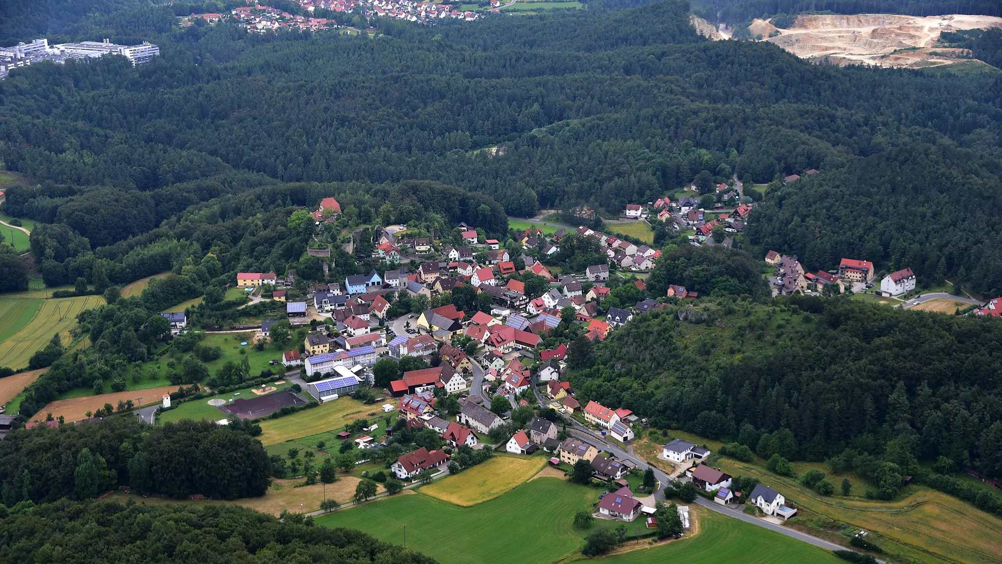
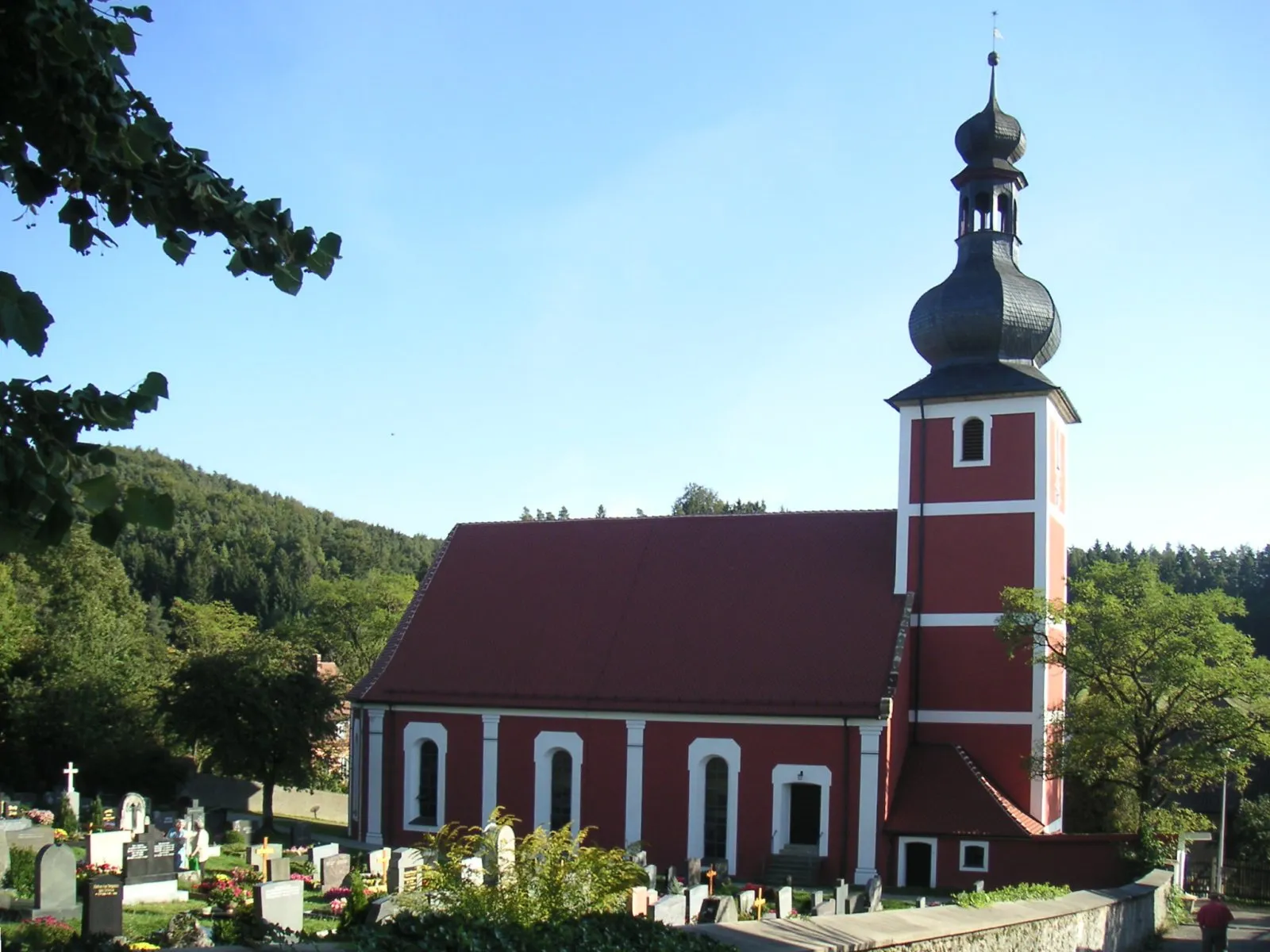
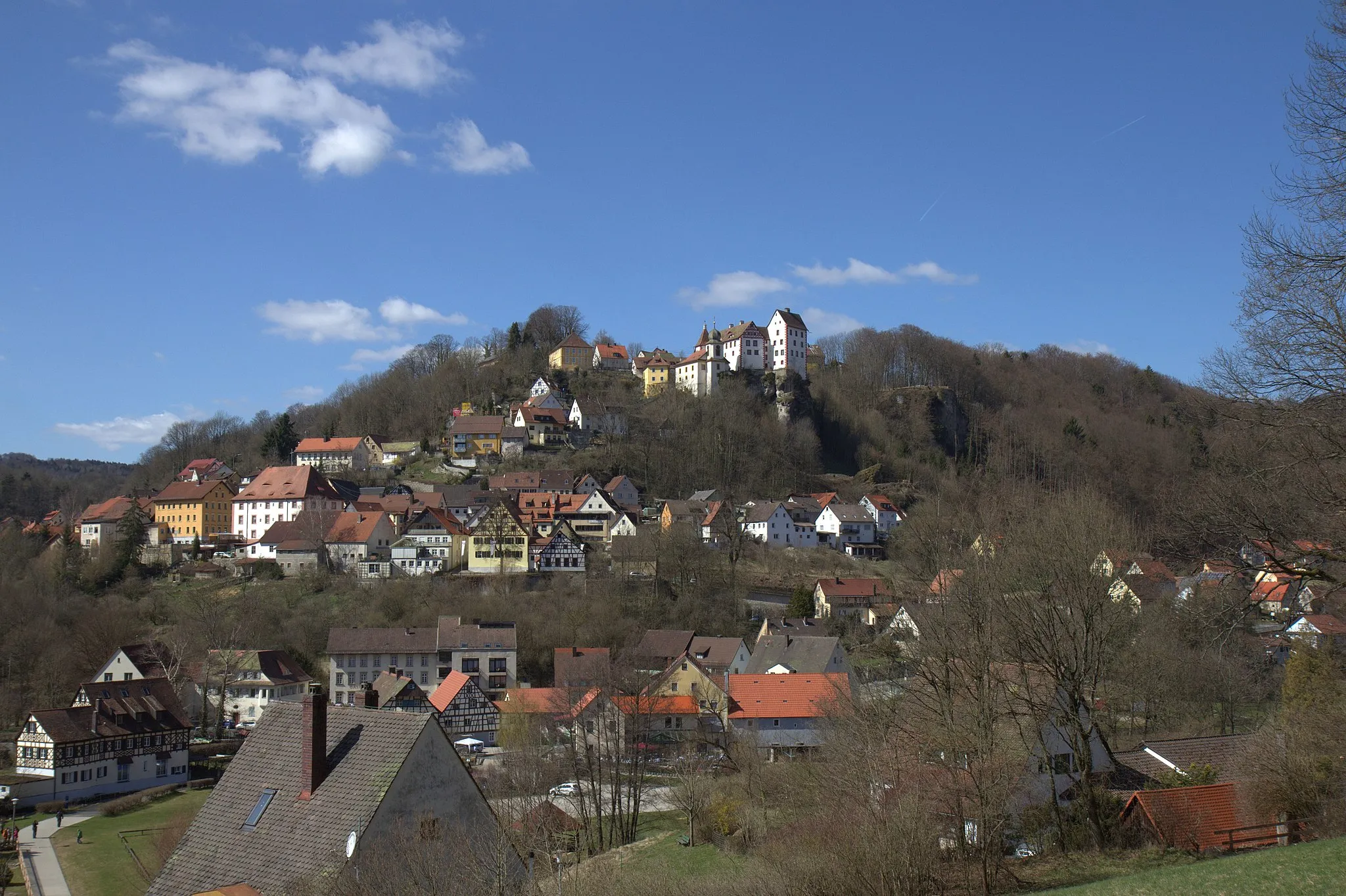
Start: Königstein Village centerKönigstein: Cycling and Bavarian charm in Königstein
Königstein is a picturesque town located in Oberpfalz, Germany. As a road and gravel cyclist, you will be delighted by the beautiful scenic routes surrounding Königstein. The hilly terrain of this region offers challenging climbs and thrilling descents. One of the most famous cycling spots nearby is the Königstein Castle, which offers a stunning view of the surrounding countryside. With its charming streets and welcoming atmosphere, Königstein is a great destination for cycling enthusiasts. The region is also known for its traditional Bavarian cuisine, making it a perfect place for food and cycling lovers alike.10 km
10 km
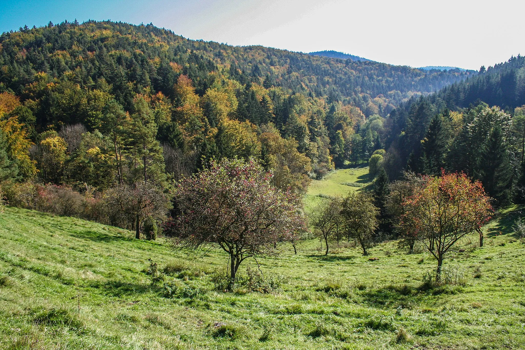
Petrus580 mPeakPetrus is a picturesque stop with stunning views over the surrounding forests and meadows.
10 km
10 km
HirschbachVillageHirschbach is a charming town nestled amidst green hills and offers a peaceful atmosphere.
18 km
18 km
Sandberg595 mPeakSandberg presents cyclists with a challenging climb that rewards with panoramic vistas from its summit.
32 km
32 km
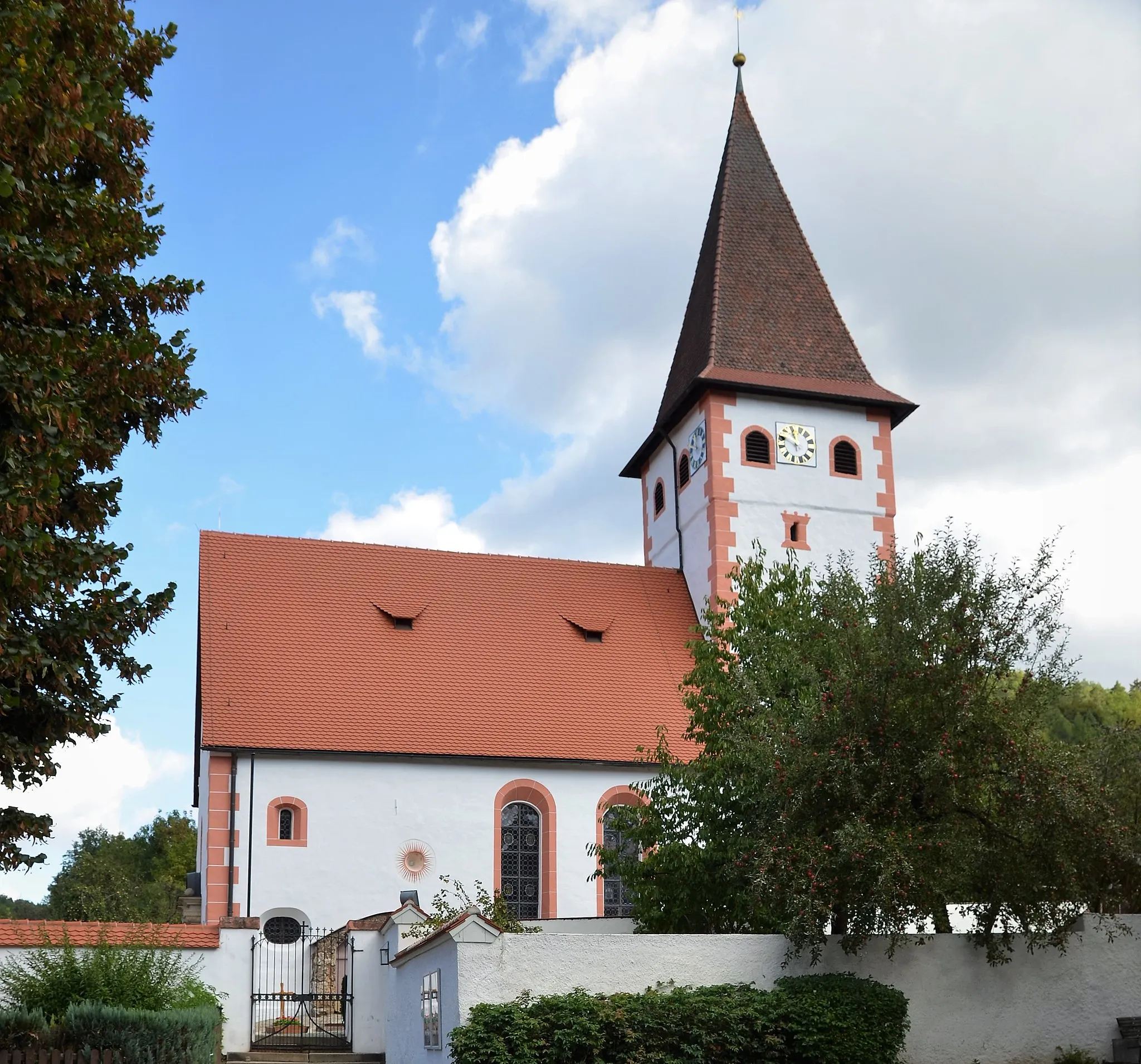
SimmelsdorfVillageSimmelsdorf is a small village known for its well-preserved half-timbered houses and idyllic setting.
46 km
46 km
BurggrafViewpointBurggraf is a medieval castle ruin perched on a hill, offering spectacular views of the region.
48 km
48 km
EgloffsteinVillageEgloffstein is a picturesque village surrounded by picturesque limestone cliffs in the beautiful Ailsbachtal Valley.
64 km
64 km
Geiersberg518 mPeakGeiersberg is a challenging climb with stunning views over the surrounding forests and valleys.
68 km
68 km
MuggendorfVillageMuggendorf is a quaint village located at the foot of the famous Försterstein cliffs, a popular hiking and climbing destination.
83 km
83 km
SchulsteinViewpointSchulstein is a unique rock formation with historical significance, providing scenic views over the Franconian Switzerland region.
83 km
83 km
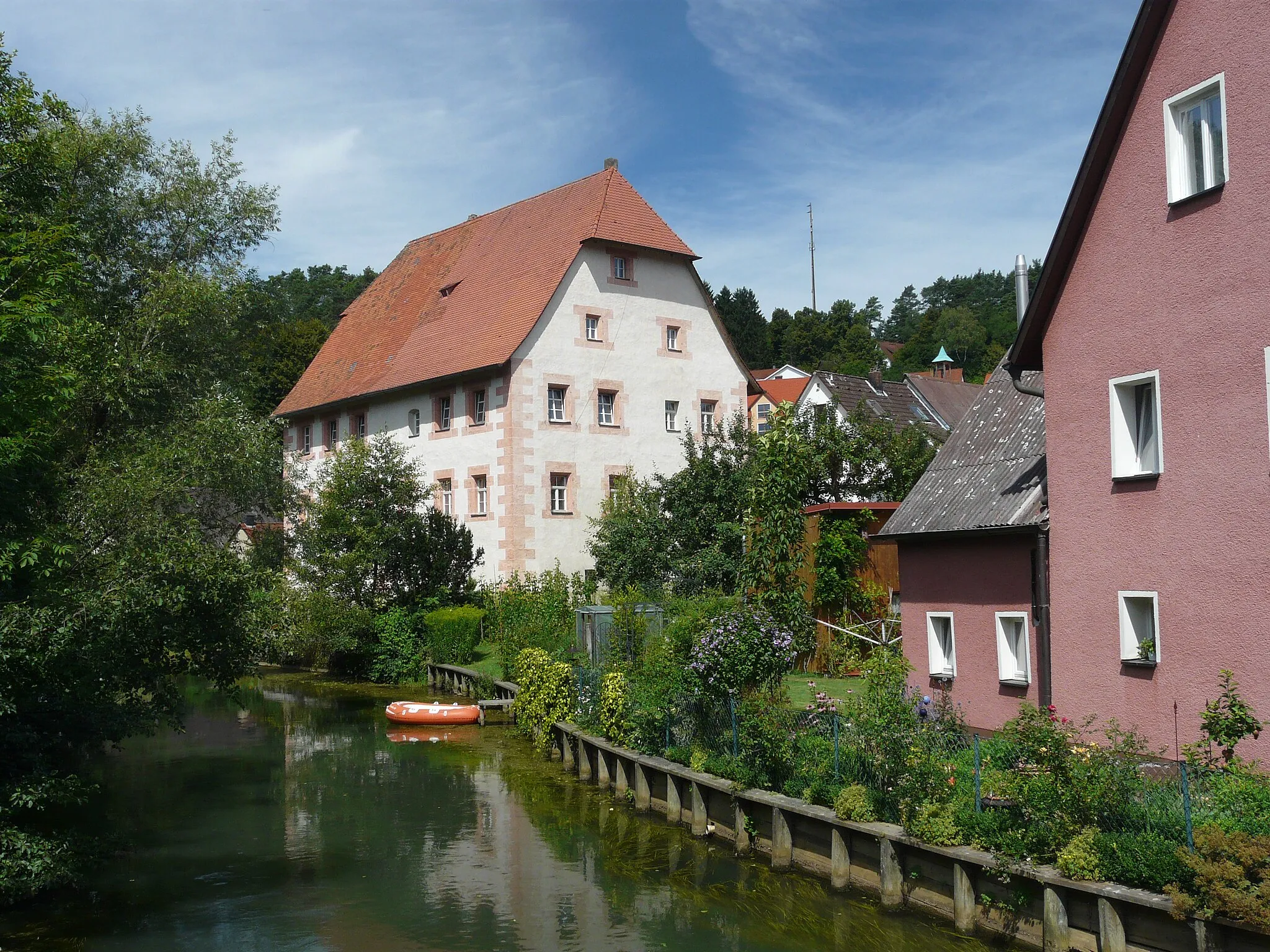
WaischenfeldTownWaischenfeld is a charming town known for its well-preserved medieval fortress and picturesque old town.
103 km
103 km
Eichetsberg521 mPeakEichetsberg offers magnificent panoramic views over the rolling hills of the Oberpfalz region.
107 km
107 km
BuchauVillageBuchau features stunning natural landscapes, historical landmarks, and charming Bavarian architecture.
115 km
115 km
Breitenstein510 mPeak ViewpointBreitenstein is a historical town known for its delightful architecture and romantic medieval atmosphere.
122 km
122 km
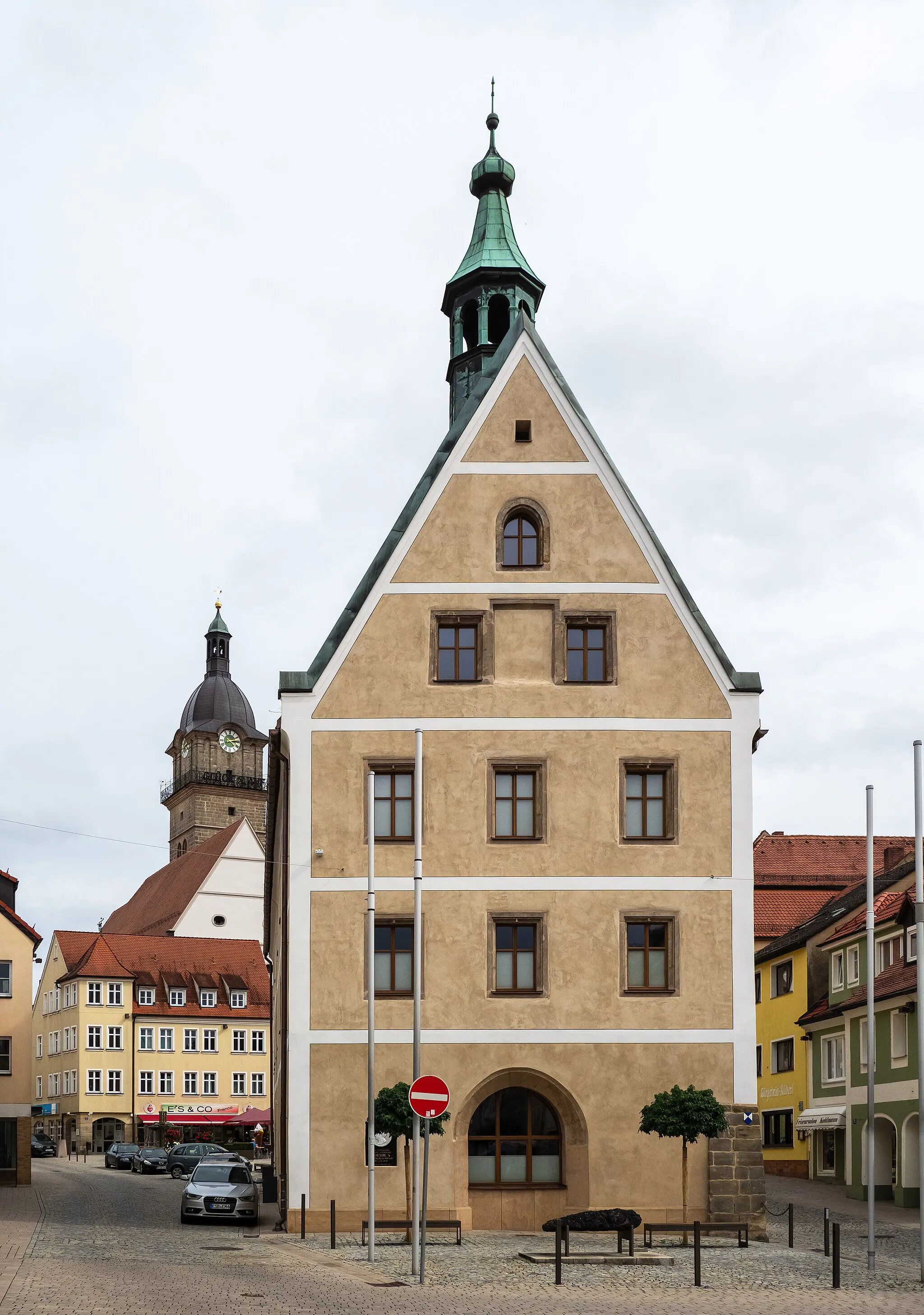
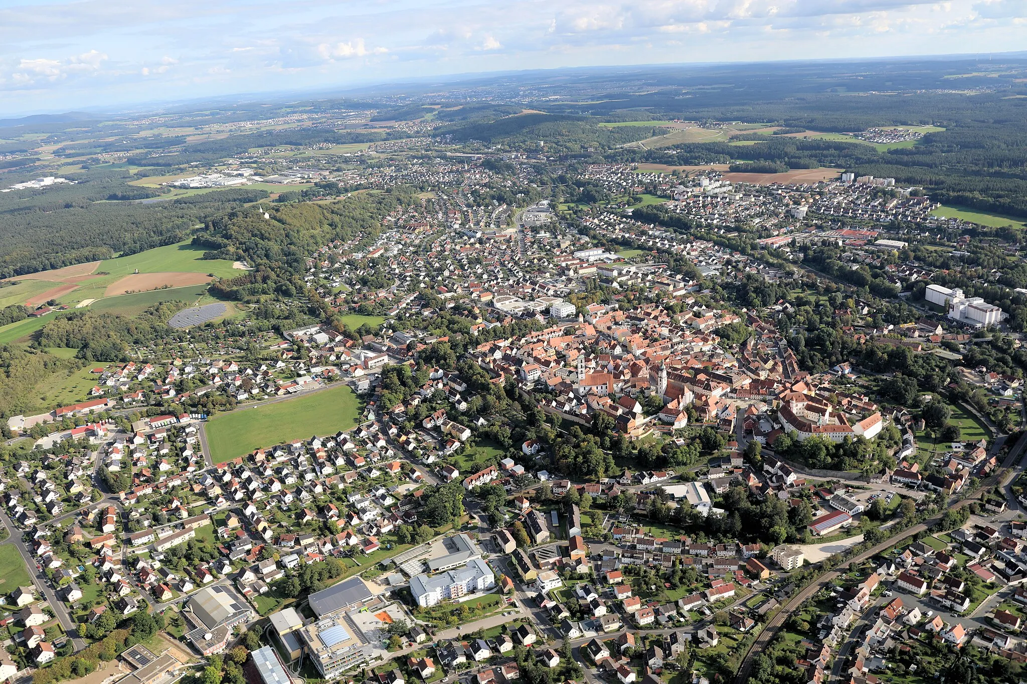
Auerbach in der OberpfalzTownAuerbach in der Oberpfalz is a quaint town with a rich history, offering well-preserved architecture and cultural heritage.
129 km
129 km
LehnershofHamletLehnershof is a scenic viewpoint that offers an overview of the stunning Franconian Switzerland region.
134 km
134 km
Schelmbachstein515 mPeakSchelmbach is an idyllic village surrounded by picturesque landscapes, rolling hills, and charming Bavarian architecture.
137 km
137 km
Finish: Königstein Village centerKönigstein: Cycling and Bavarian charm in Königstein
Cycling routes nearby: