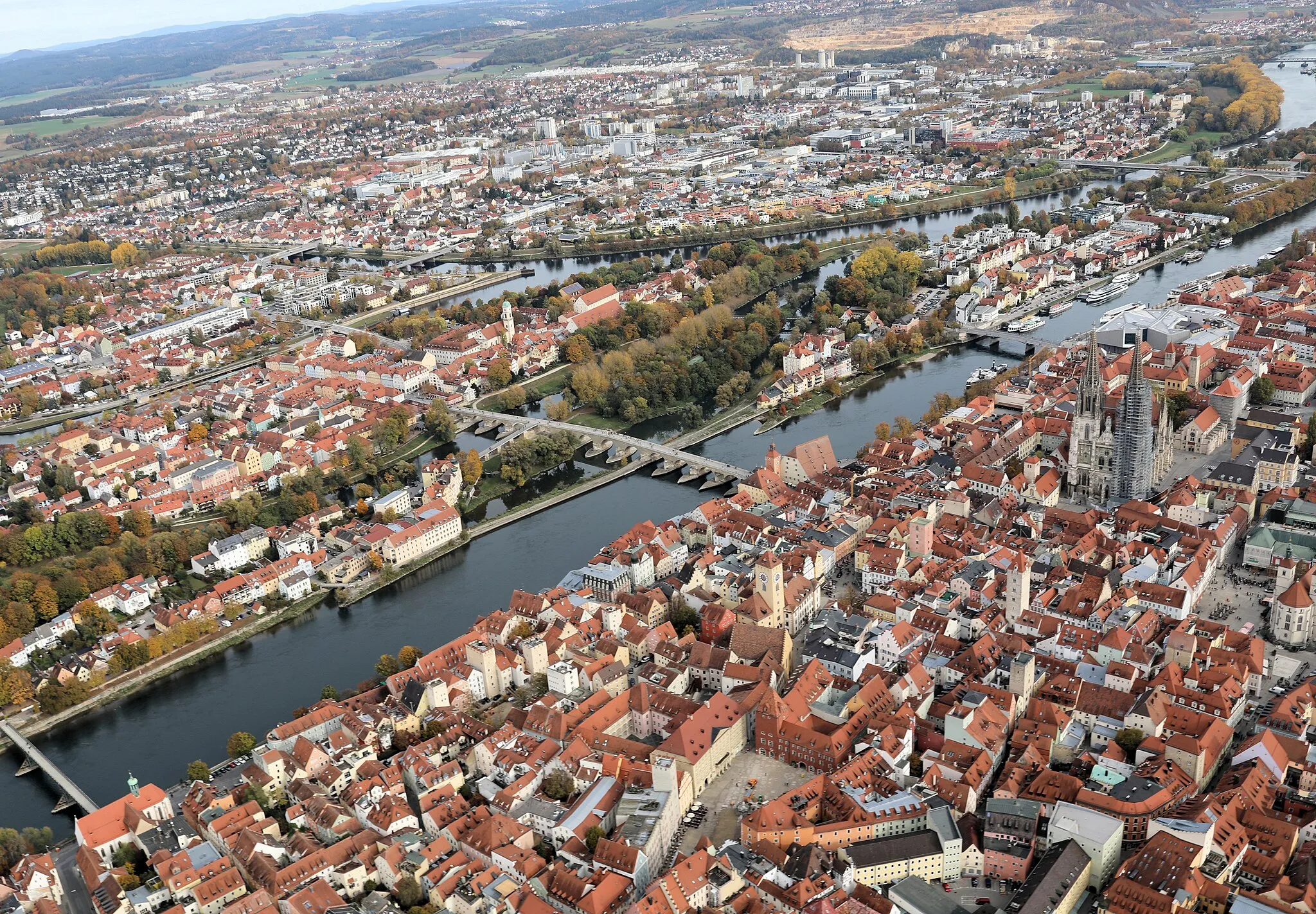
The Danube Loop
A road cycling route starting from Lappersdorf
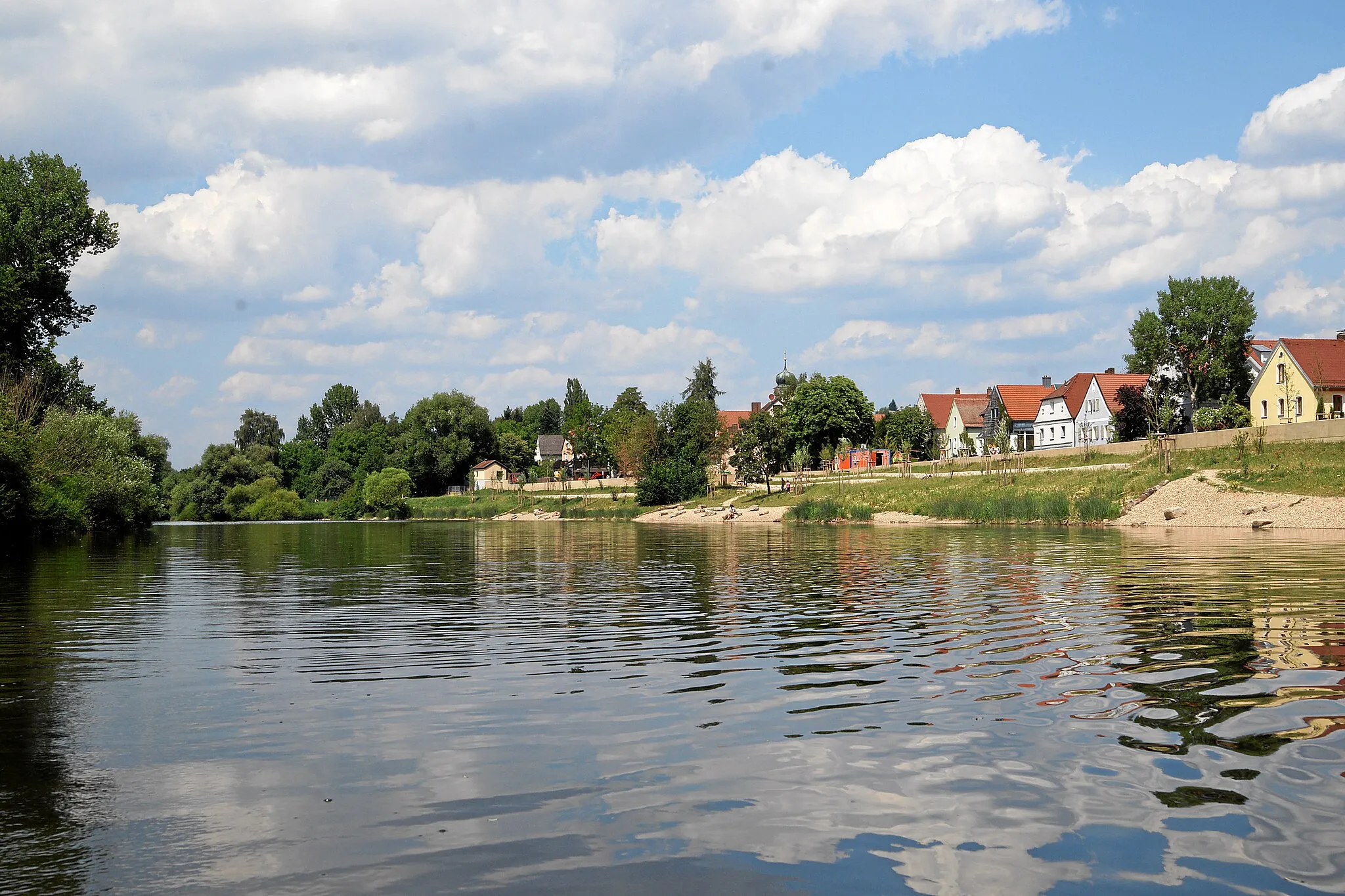
Experience the beauty of the Danube river as you cycle through Mühlberg, Kürn, and Lambertsneukirchen
Map
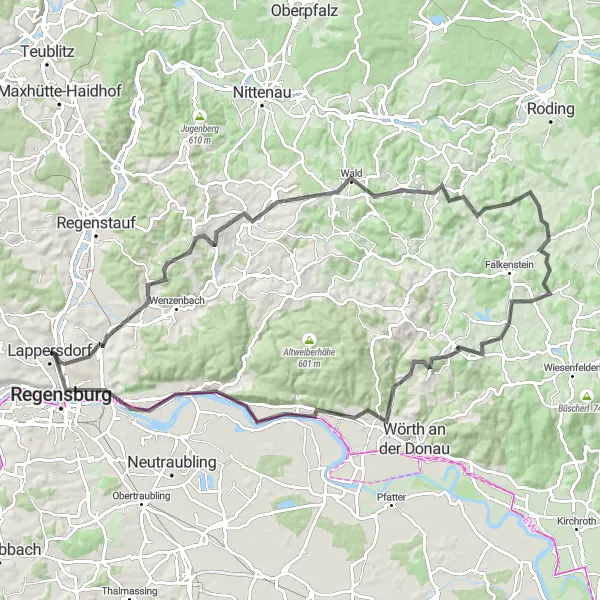
This road cycling route takes you on a scenic journey along the Danube river. With a total distance of 97 kilometers and an ascent of 1215 meters, it provides a moderate challenge for amateur cyclists. The route passes through picturesque towns such as Ebersroith and Bach an der Donau before reaching the famous Keilstein lookout point. Along the way, you will be rewarded with stunning views of the river and surrounding landscapes.
road
97 km
1215 m
Tough
Route profile
Highlights on the route
0 km
0 km
Start: Lappersdorf City centerLappersdorf: Explore the hilly terrain and enjoy the facilities at the Cycling Center Regensburg in Lappersdorf.
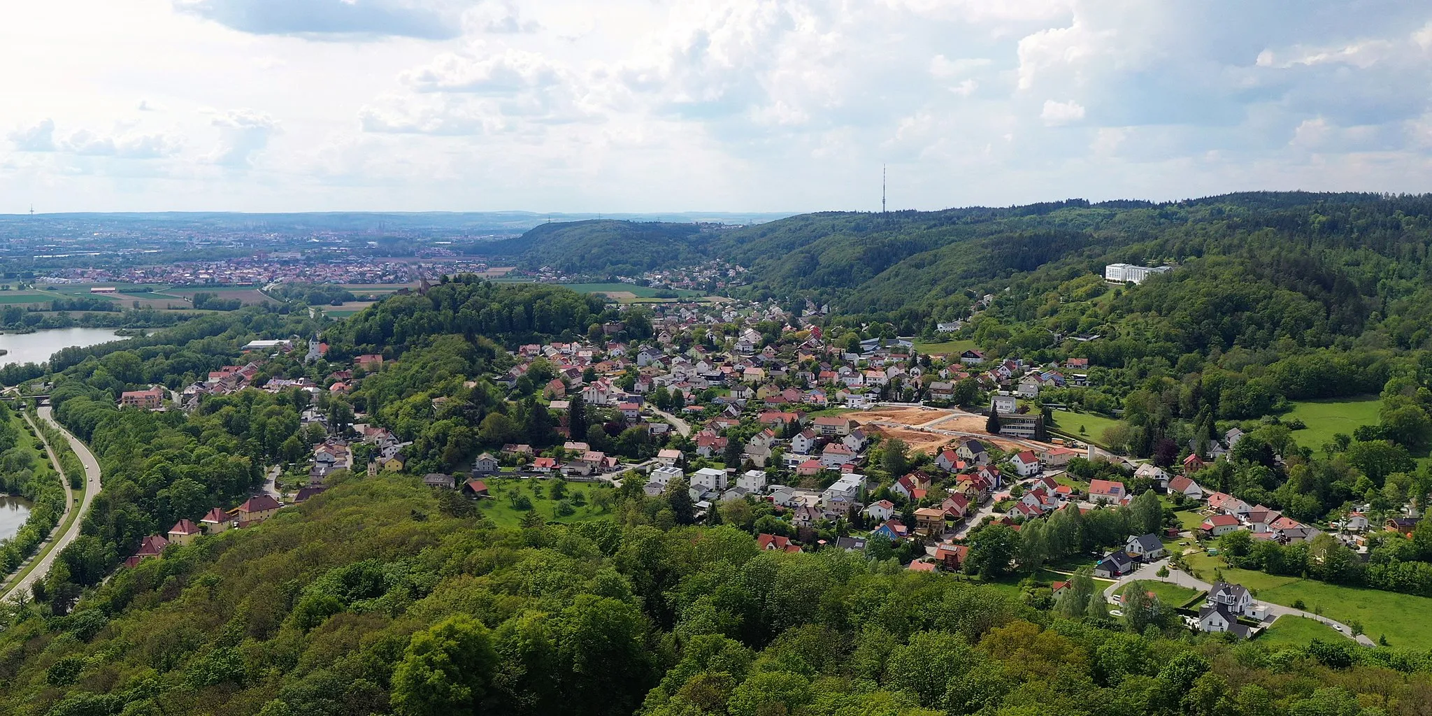
Lappersdorf, located in the Oberpfalz region of Germany, offers a variety of cycling routes suitable for both road and gravel cyclists. The hilly terrain provides a good challenge, while the surrounding countryside offers stunning views. Lappersdorf is also home to the famous Cycling Center Regensburg, a hub for cyclists in the region. This center offers a range of services and facilities for cyclists, making Lappersdorf a great base for exploring the Oberpfalz area.2 km
2 km
Mühlberg408 mPeakMühlberg offers a charming view of the Danube river and its lush green surroundings.
15 km
15 km
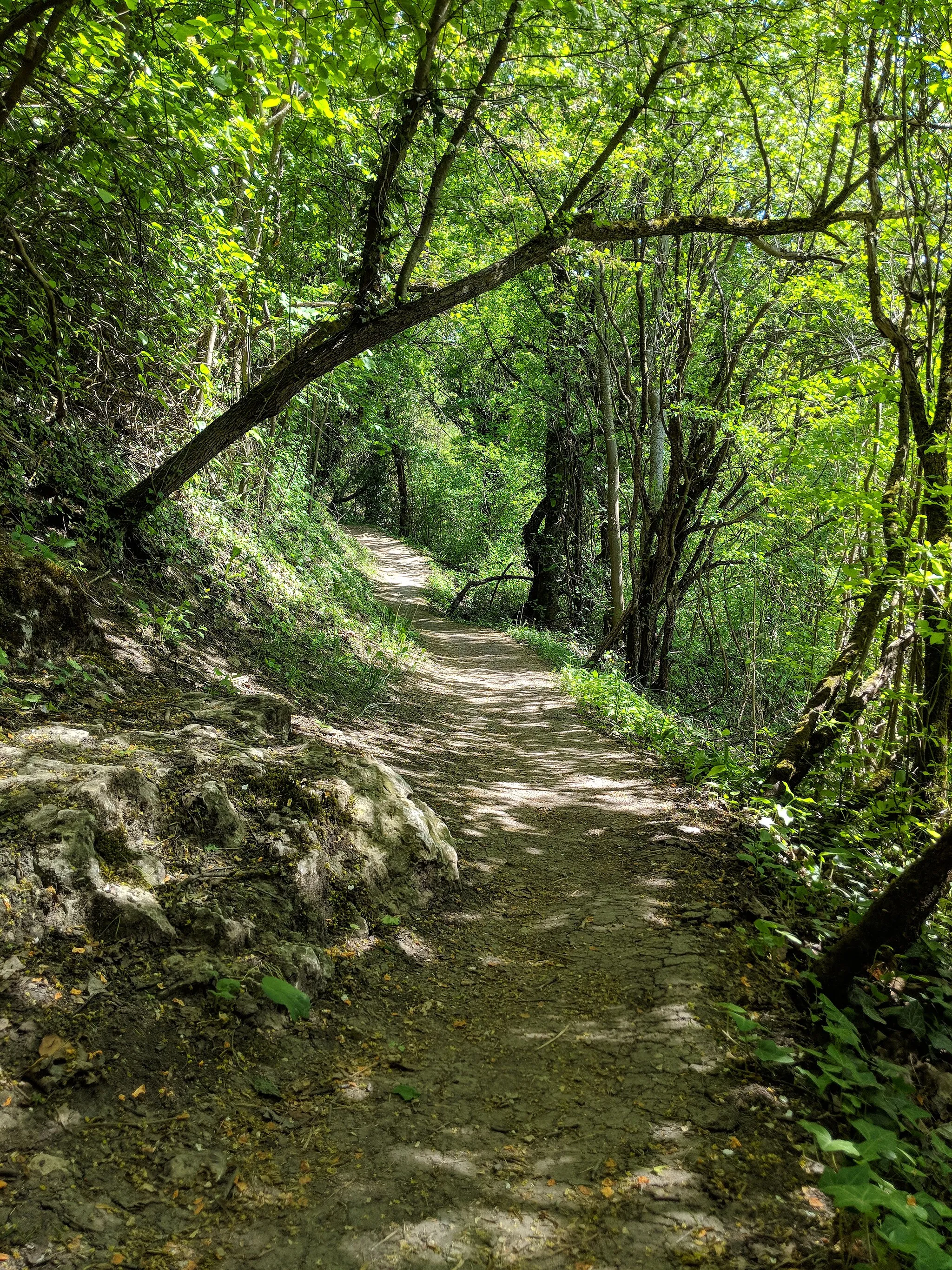
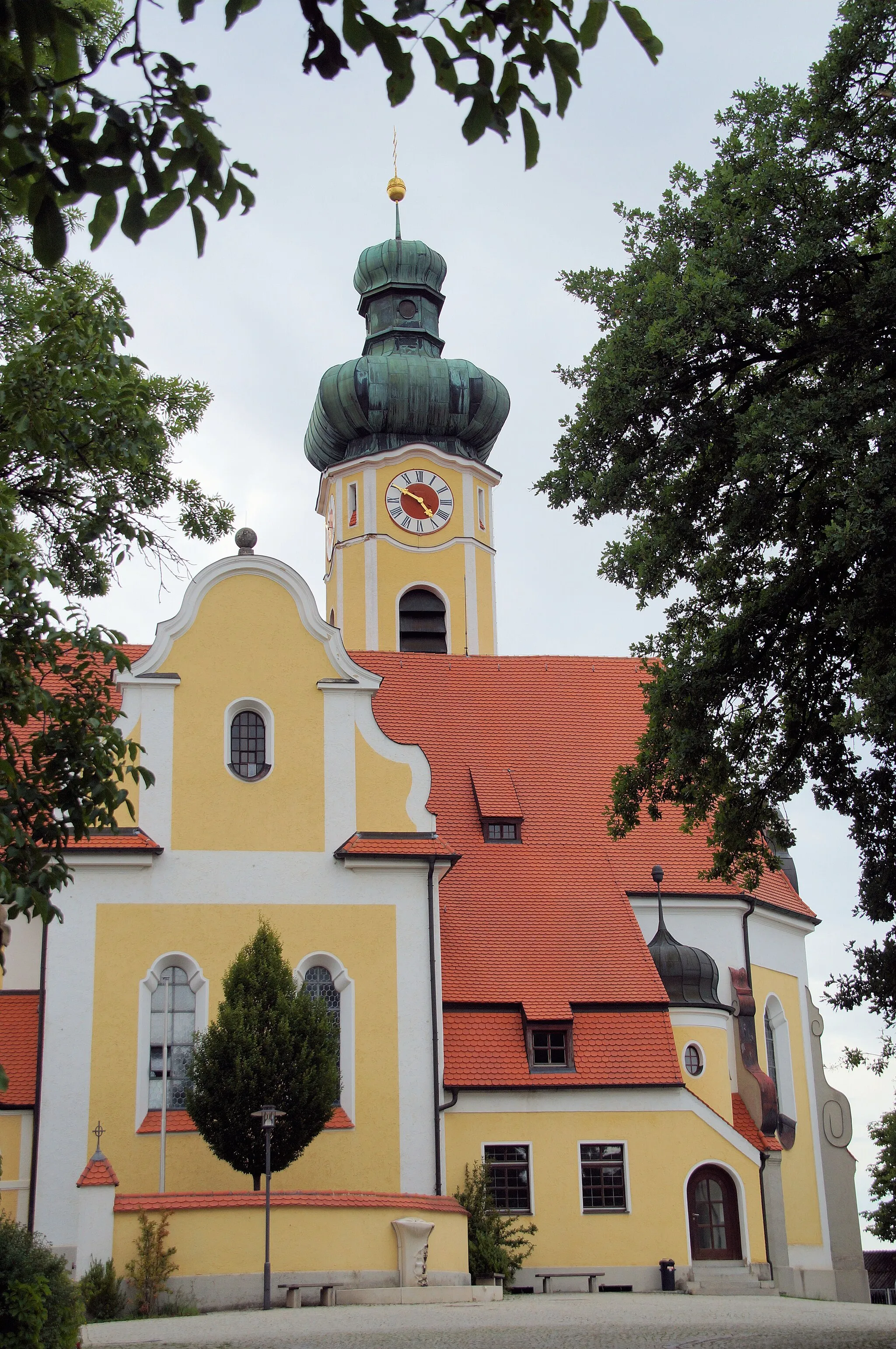
KürnVillageKürn is known for its historic architecture and offers a peaceful atmosphere to rest and relax.
23 km
23 km
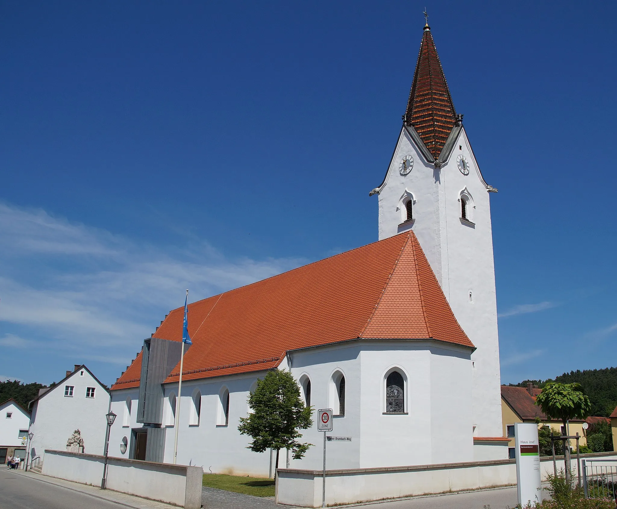
LambertsneukirchenVillageLambertsneukirchen is a quaint village with beautiful views of the Bavarian countryside.
35 km
35 km
Geiselberg550 mPeakGeiselberg is a popular spot for cyclists, offering panoramic views of the Danube valley.
56 km
56 km
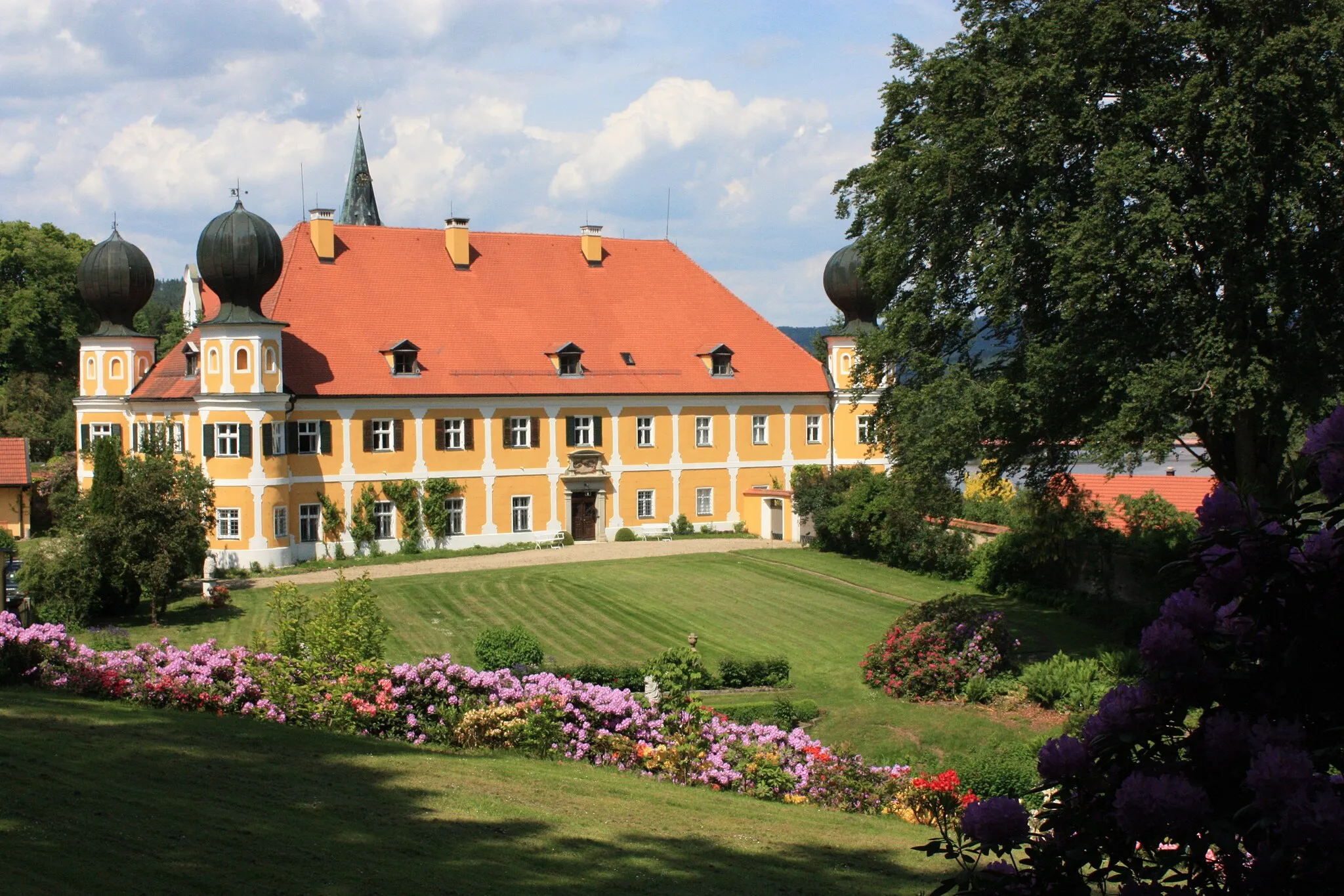
EbersroithVillageEbersroith is a small village surrounded by rolling hills and charming Bavarian houses.
77 km
77 km
Bach an der DonauVillageBach an der Donau is a picturesque town located on the banks of the Danube river, known for its idyllic scenery.
85 km
85 km
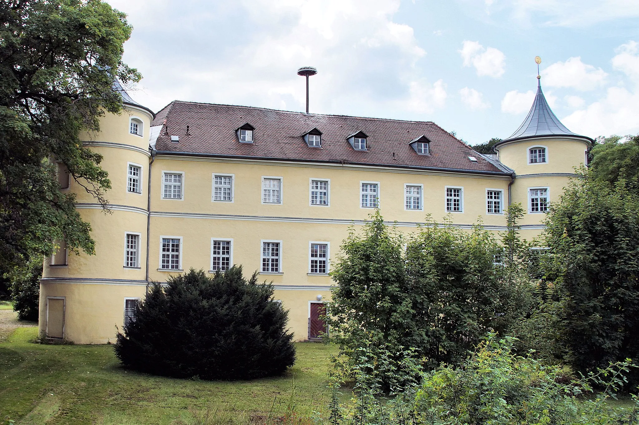
DonaustaufVillageDonaustauf is home to the renowned Walhalla memorial, a must-visit attraction for history enthusiasts.
90 km
90 km
Keilstein450 mPeakKeilstein offers stunning panoramic views over the Danube valley and the surrounding hills.
97 km
97 km
Finish: Lappersdorf City centerLappersdorf: Explore the hilly terrain and enjoy the facilities at the Cycling Center Regensburg in Lappersdorf.
Cycling routes from Lappersdorf:
Sallerner Berg Loop Brückelberg Adventure Gravel Adventure Regensburg Explorer Gravel Hills Adventure The Danube Loop Historical Gravel Adventure Challenging Gravel Expedition Gravel Adventure near Lappersdorf Danube Valley Exploration Tranquil Villages and Scenic Landscapes Rural Gems and Ancient Tunnels The Danube Valley Tour Ziegetsberg and the Land of Lappersdorf Hills, Castles, and Charming Towns
Cycling routes nearby: