Gravel Adventure through Nature
A gravel cycling route starting from Oberviechtach
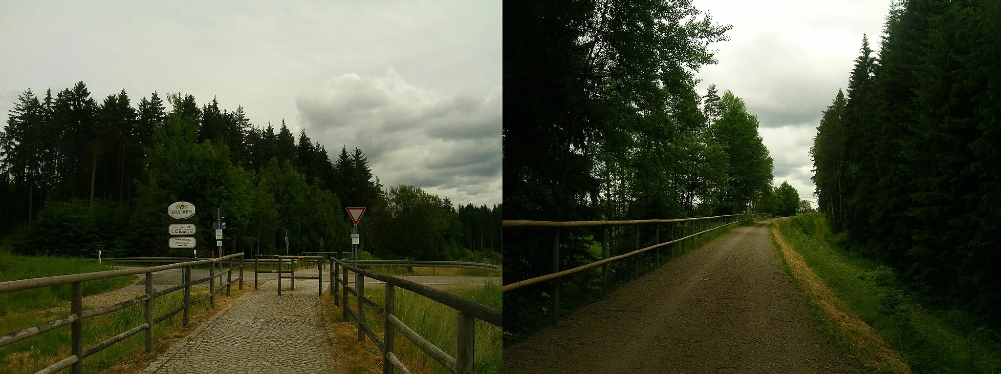
Embark on a thrilling off-road cycling adventure through the pristine nature surrounding Oberviechtach.
Map
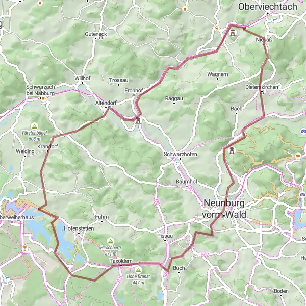
This gravel cycling route takes you through some of the most scenic areas around Oberviechtach, offering an immersive experience in nature. With a moderate difficulty level, this route is enjoyable for both experienced gravel riders and beginners looking to explore off the beaten path. Some highlights along the way include the picturesque village of Dieterskirchen, the imposing Platte rock formation, and the tranquil Murglhof farm. Overall, this route offers a unique and memorable cycling experience in a natural setting.
gravel
56 km
879 m
Tough
Route profile
Highlights on the route
0 km
0 km
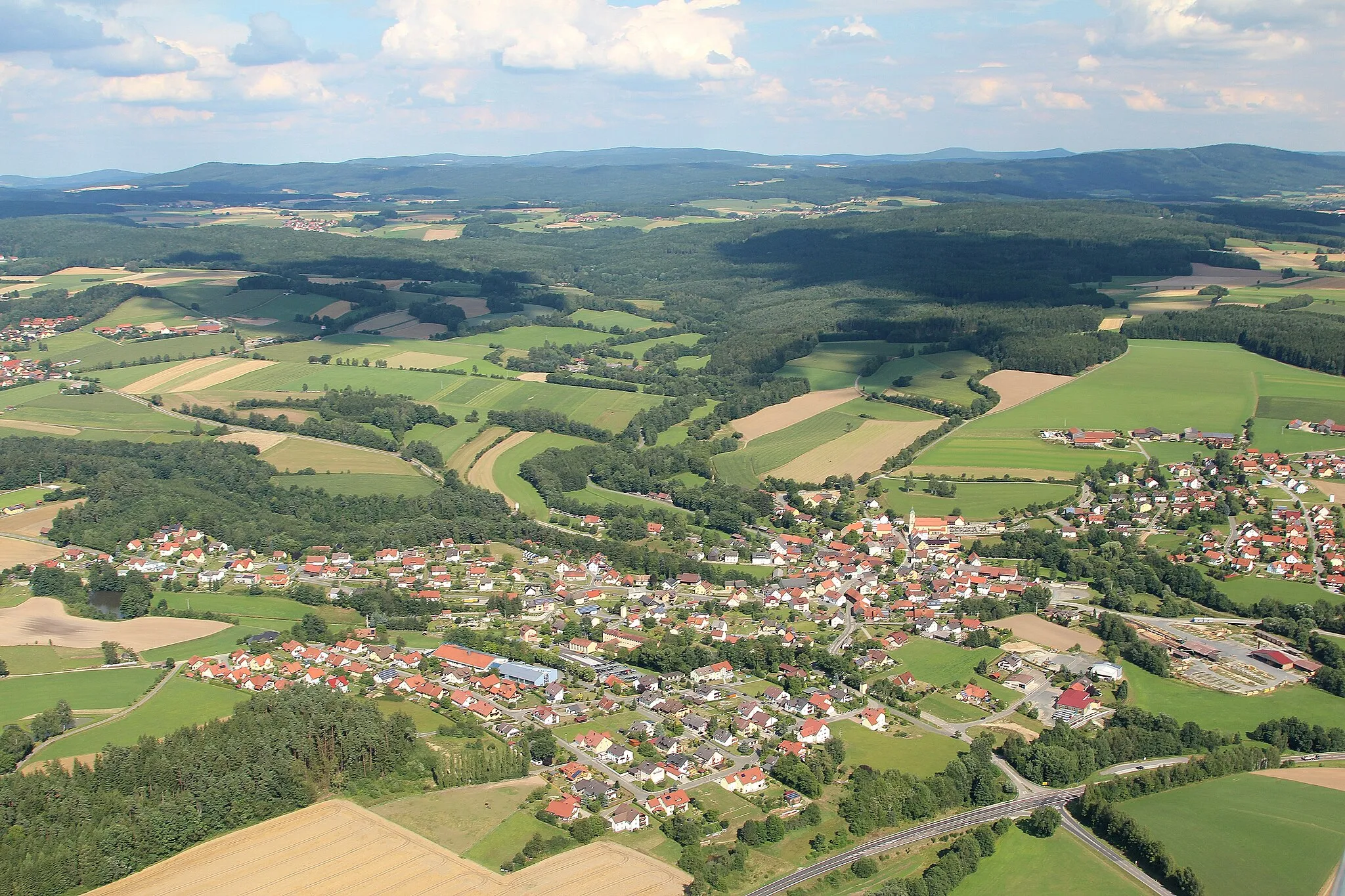
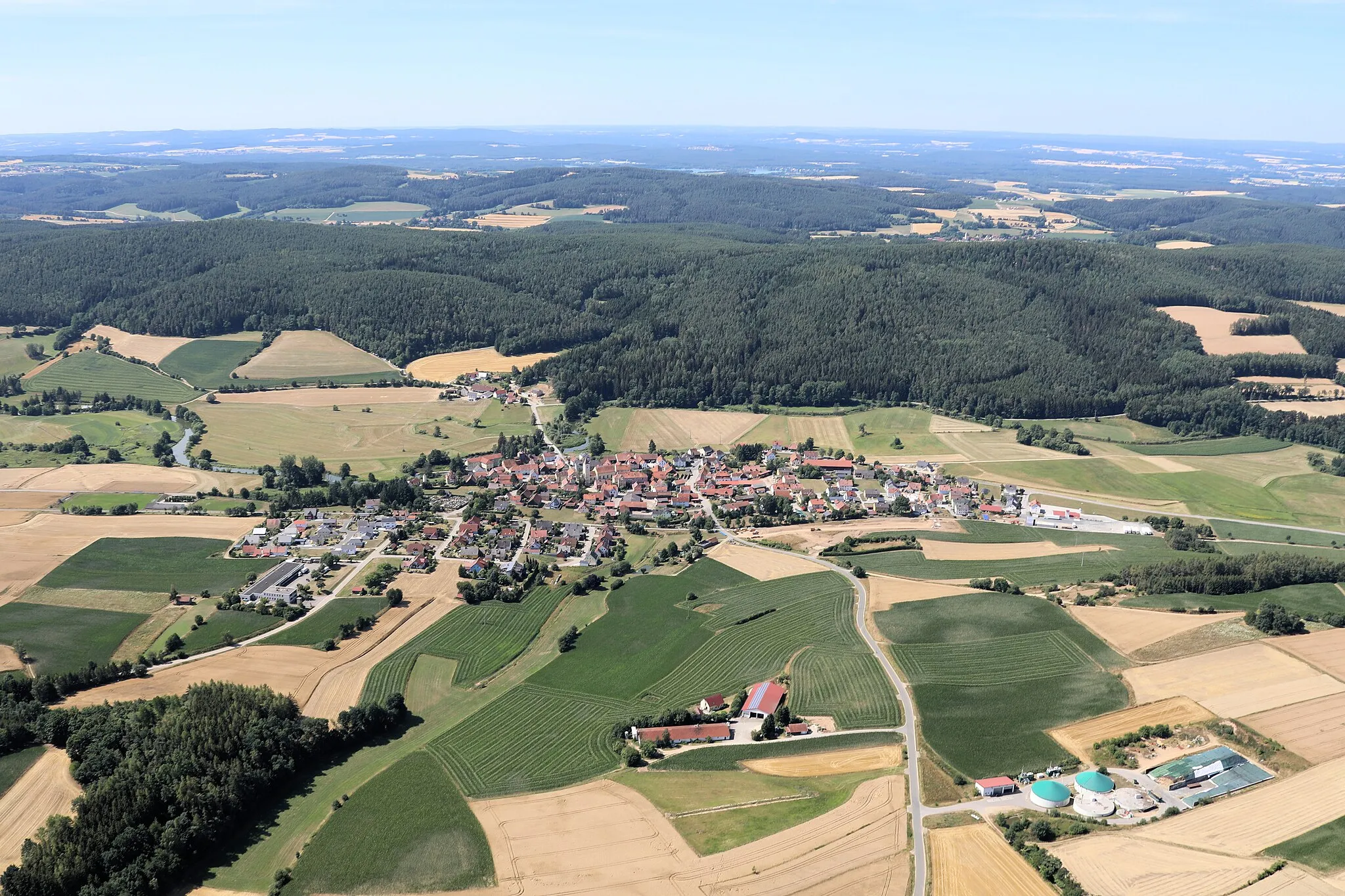
Start: Niesaß Village centerOberviechtach: Discovering idyllic landscapes and charming villages in Oberviechtach.
Oberviechtach is a town in the Oberpfalz region of Germany. From a cyclist's perspective, this locality offers varied cycling routes through idyllic landscapes and quaint villages. The area is ideal for road and gravel cycling, with well-paved roads and gentle to moderate climbs. Oberviechtach is surrounded by forests and picturesque rivers, providing beautiful scenery for cycling adventures. The town is also known for hosting the annual Inninger Volksberger OPM Marathon, a popular cycling event in the region. Cyclists can also explore nearby areas such as the Upper Palatinate Forest and visit points of interest like the Hammersee Lake.3 km
3 km
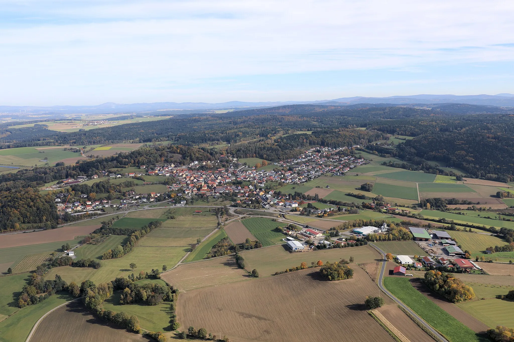
DieterskirchenVillageDieterskirchen is a quaint village with traditional Bavarian architecture and charming streets.
8 km
8 km
Warnberg568 mPeakWarnberg is known for its peaceful natural surroundings and beautiful forest trails.
15 km
15 km
Platte525 mPeakPlatte is a natural sandstone formation that attracts climbers and offers breathtaking views from the top.
22 km
22 km
TaxöldernVillageTaxöldern is a hidden gem in the Bavarian countryside, featuring unspoiled nature and scenic trails.
33 km
33 km
Eigenberg424 mPeakEigenberg is a charming hilltop village with panoramic views of the surrounding hills and forests.
40 km
40 km
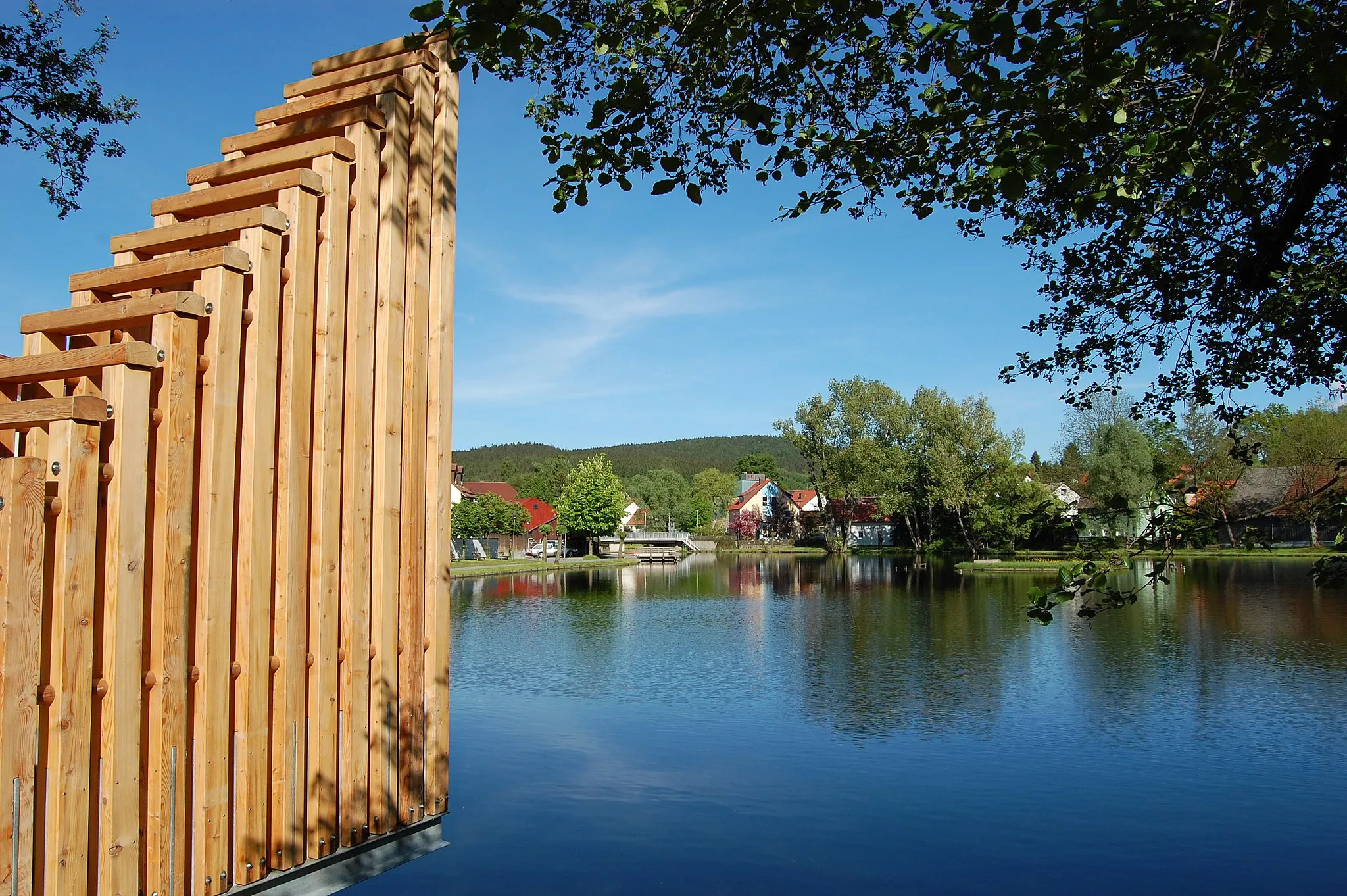
MurglhofHamletMurglhof is a peaceful farmstead where visitors can relax and enjoy the tranquility of the countryside.
52 km
52 km
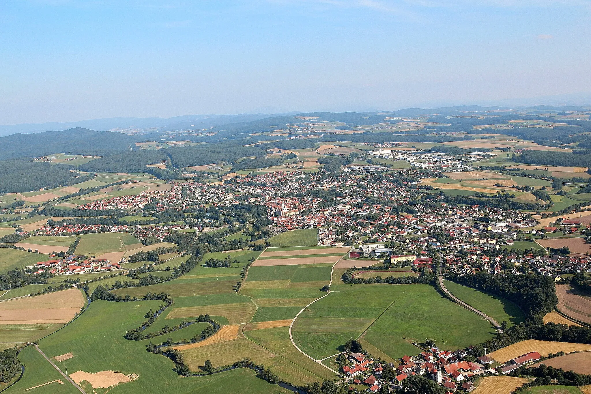
NiedermurachVillageNiedermurach is a small Bavarian town with a rich history and well-preserved medieval buildings.
54 km
54 km
Eichelstein585 mPeakEichelstein offers a challenging climb and rewards riders with panoramic views over the Bavarian landscape.
56 km
56 km
Finish: Niesaß Village centerOberviechtach: Discovering idyllic landscapes and charming villages in Oberviechtach.
Cycling routes from Oberviechtach:
Cycling routes nearby: