Gaisthal Loop
A road cycling route starting from Oberviechtach
A road cycling adventure through picturesque hills and forests
Map
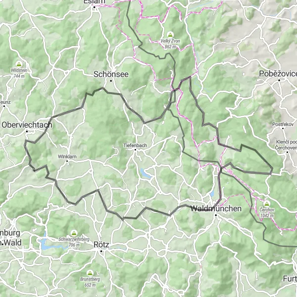
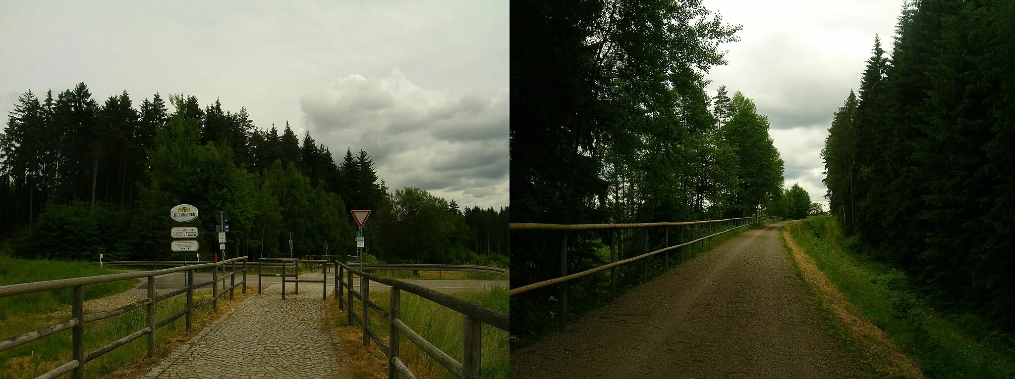
The Gaisthal Loop is an epic road cycling route that takes you through picturesque hills and forests near Oberviechtach. With a total distance of 87 kilometers and an ascent of 1515 meters, this route offers a challenging yet rewarding experience for experienced cyclists. The route passes by several highlights, including Gaisthal, a scenic valley known for its stunning views. Other highlights along the way include Mühlberg, U Závisti, Nemanice, Waldmünchen, Aster Berg, Kulz, and Kulm. These spots provide opportunities to immerse yourself in nature and enjoy the tranquility of the surrounding landscapes. Overall, the Gaisthal Loop is a thrilling adventure that showcases the beauty of the Oberpfalz region.
road
87 km
1515 m
Tough
Route profile
Highlights on the route
0 km
0 km
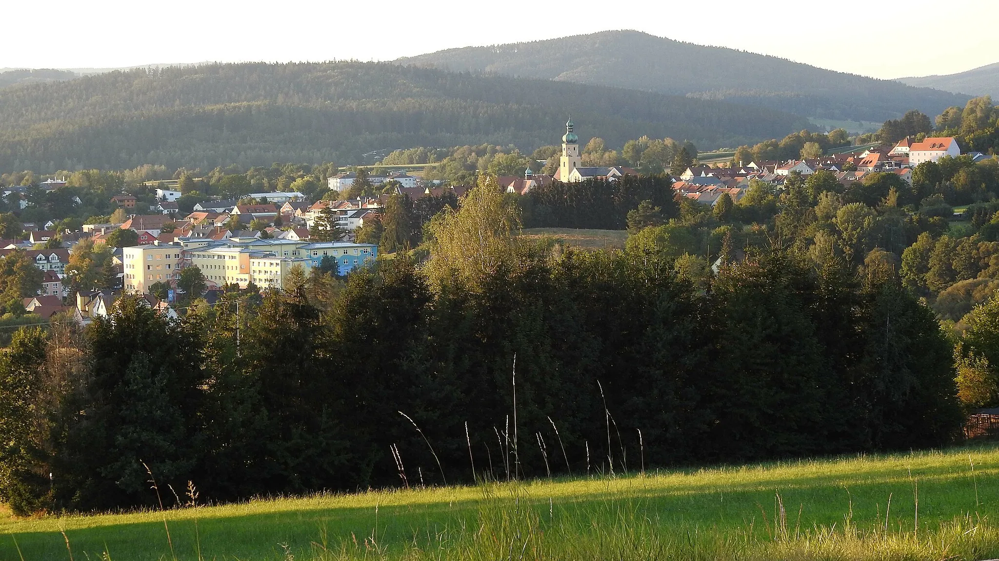
Start: Niesaß Village centerOberviechtach: Discovering idyllic landscapes and charming villages in Oberviechtach.
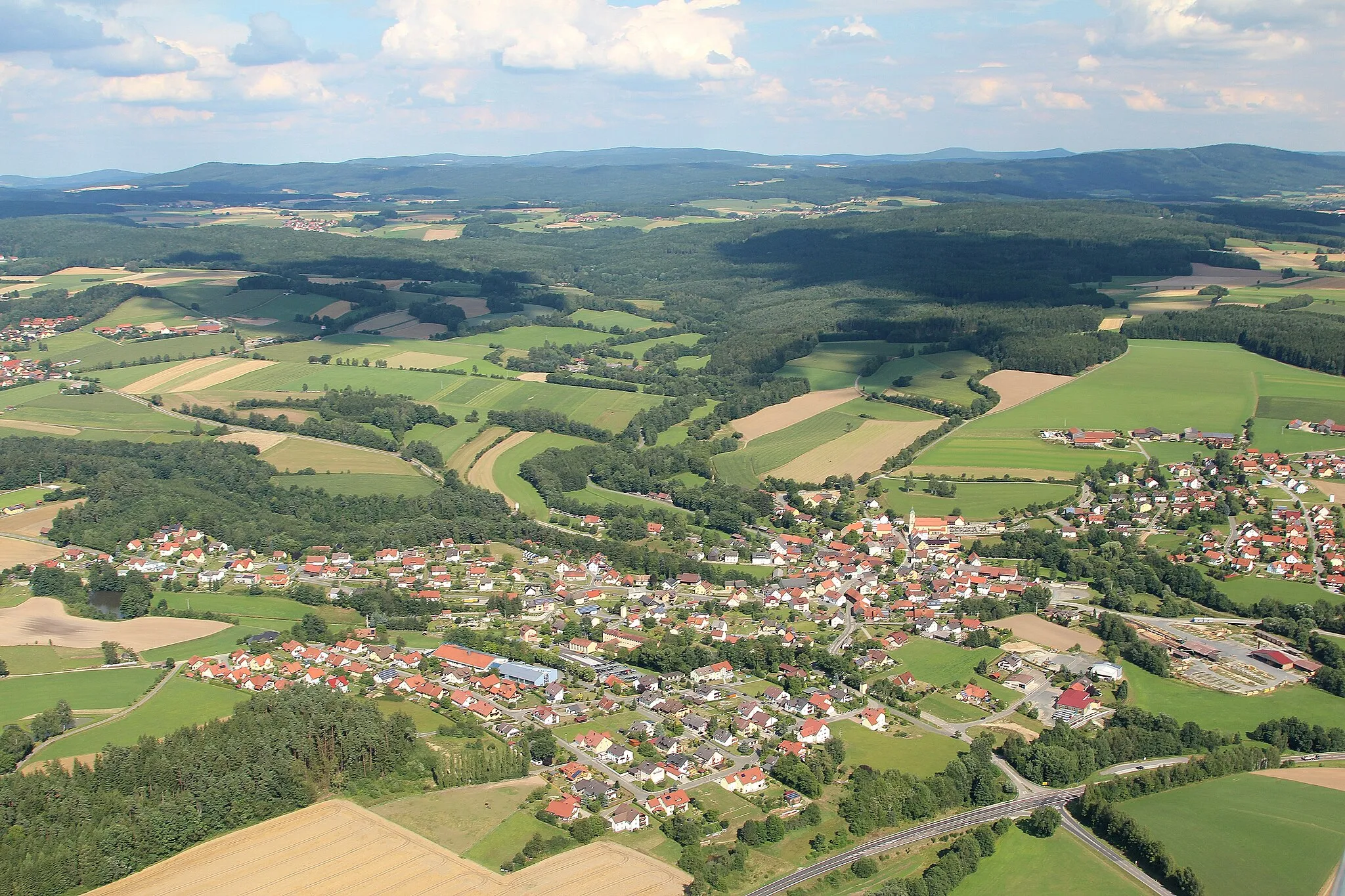
Oberviechtach is a town in the Oberpfalz region of Germany. From a cyclist's perspective, this locality offers varied cycling routes through idyllic landscapes and quaint villages. The area is ideal for road and gravel cycling, with well-paved roads and gentle to moderate climbs. Oberviechtach is surrounded by forests and picturesque rivers, providing beautiful scenery for cycling adventures. The town is also known for hosting the annual Inninger Volksberger OPM Marathon, a popular cycling event in the region. Cyclists can also explore nearby areas such as the Upper Palatinate Forest and visit points of interest like the Hammersee Lake.8 km
8 km
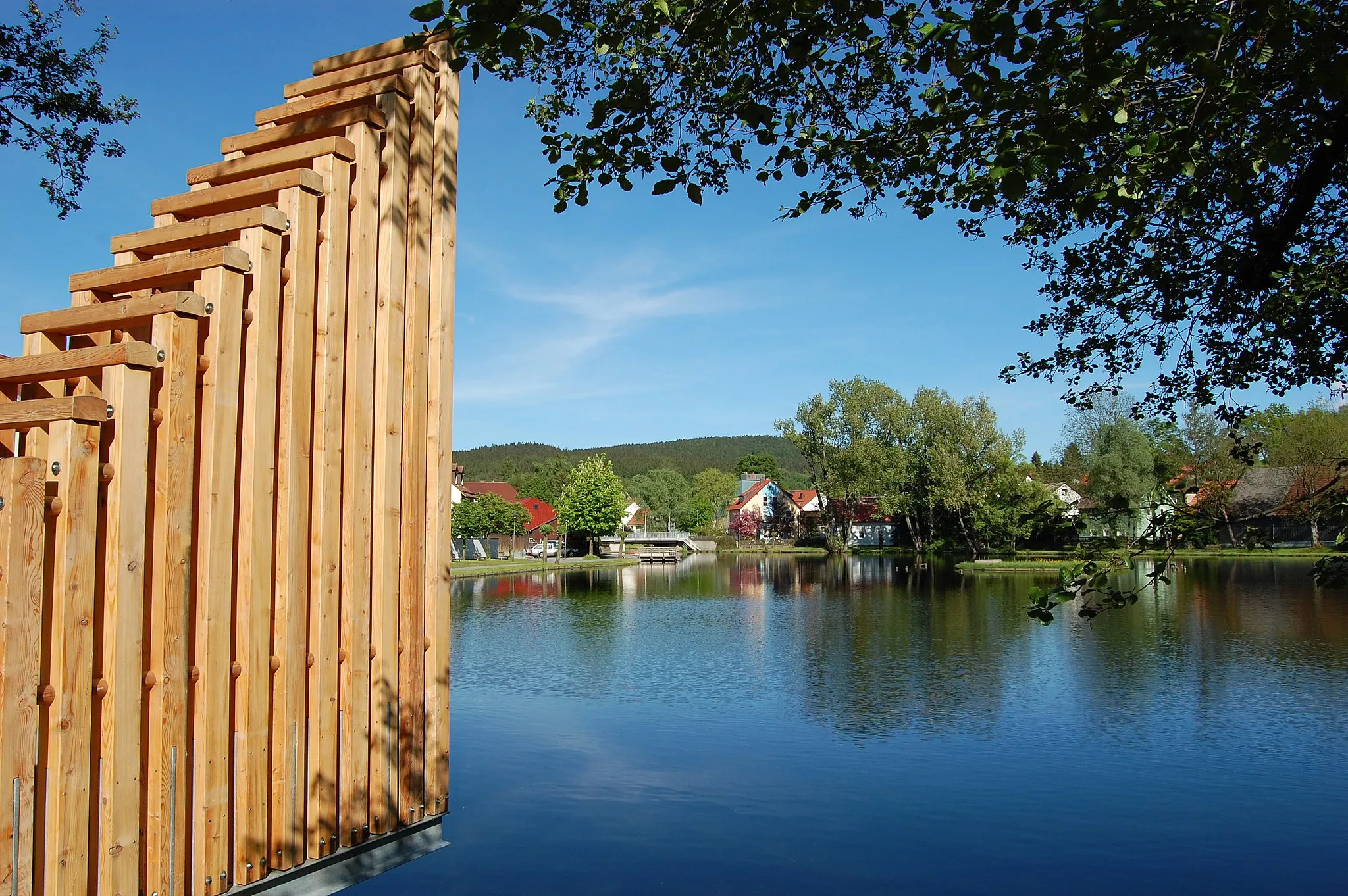
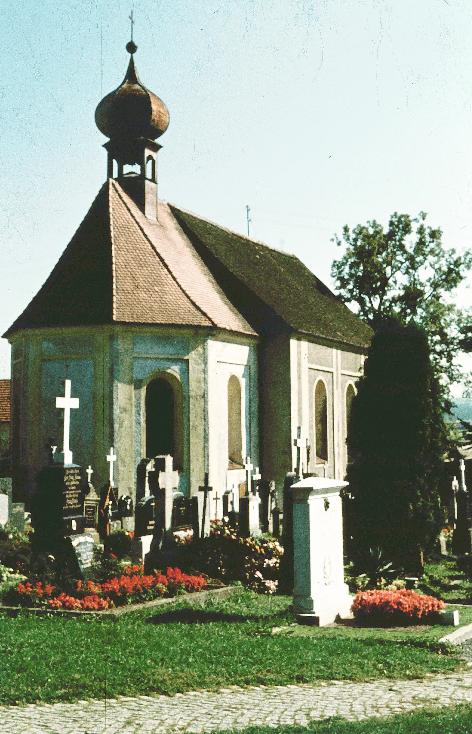
GaisthalVillageGaisthal offers breathtaking views of the surrounding hills and is a perfect spot for a picnic.
13 km
13 km
Mühlberg665 mPeakMühlberg is a historic village with well-preserved architecture that provides a glimpse into the region's past.
29 km
29 km
U Závisti615 mPeakU Závisti is a picturesque hamlet surrounded by lush forests and rolling hills, offering a scenic backdrop for cyclists.
37 km
37 km
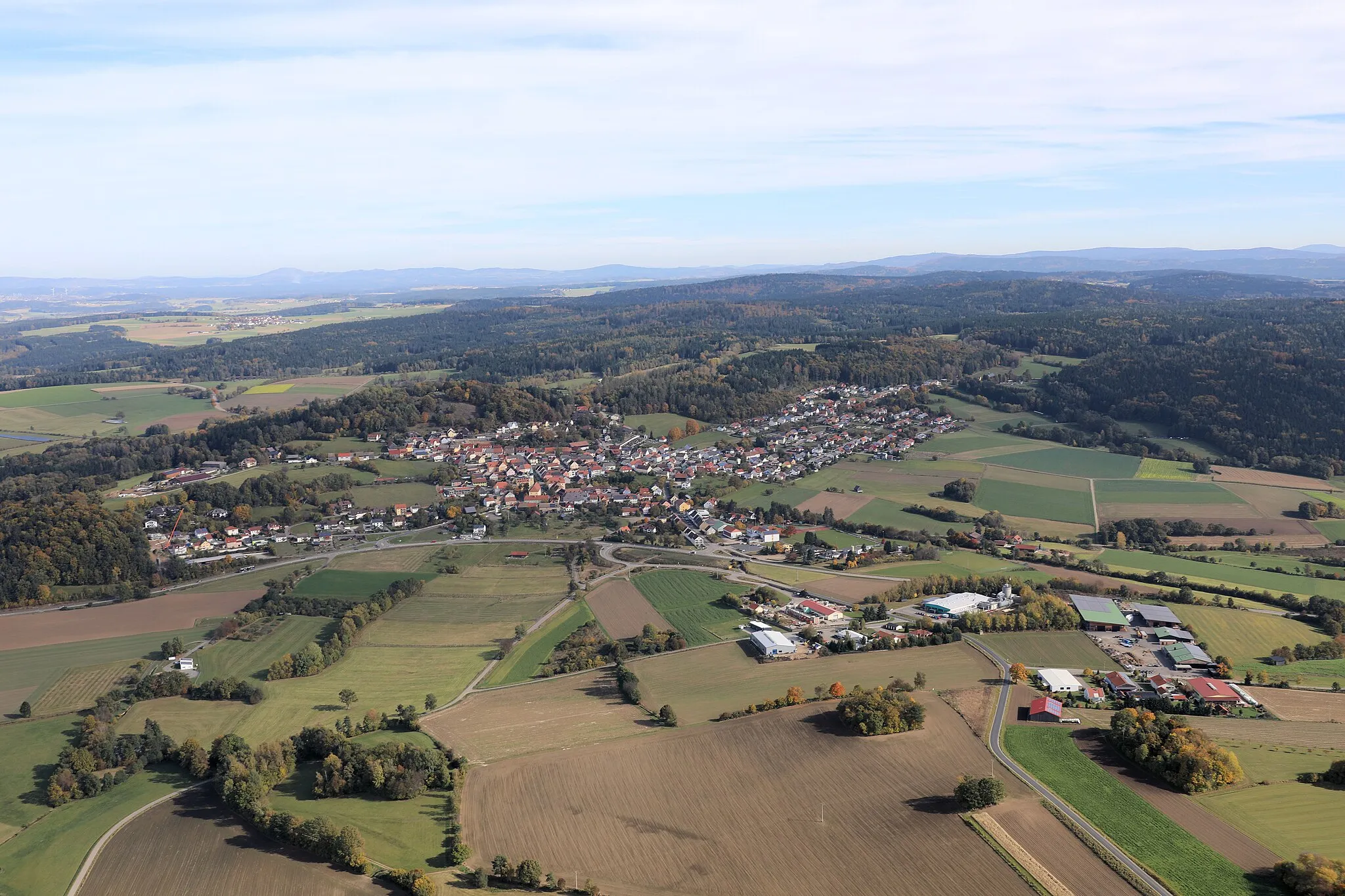
NemaniceVillageNemanice is a charming village known for its traditional architecture and tranquil atmosphere.
56 km
56 km
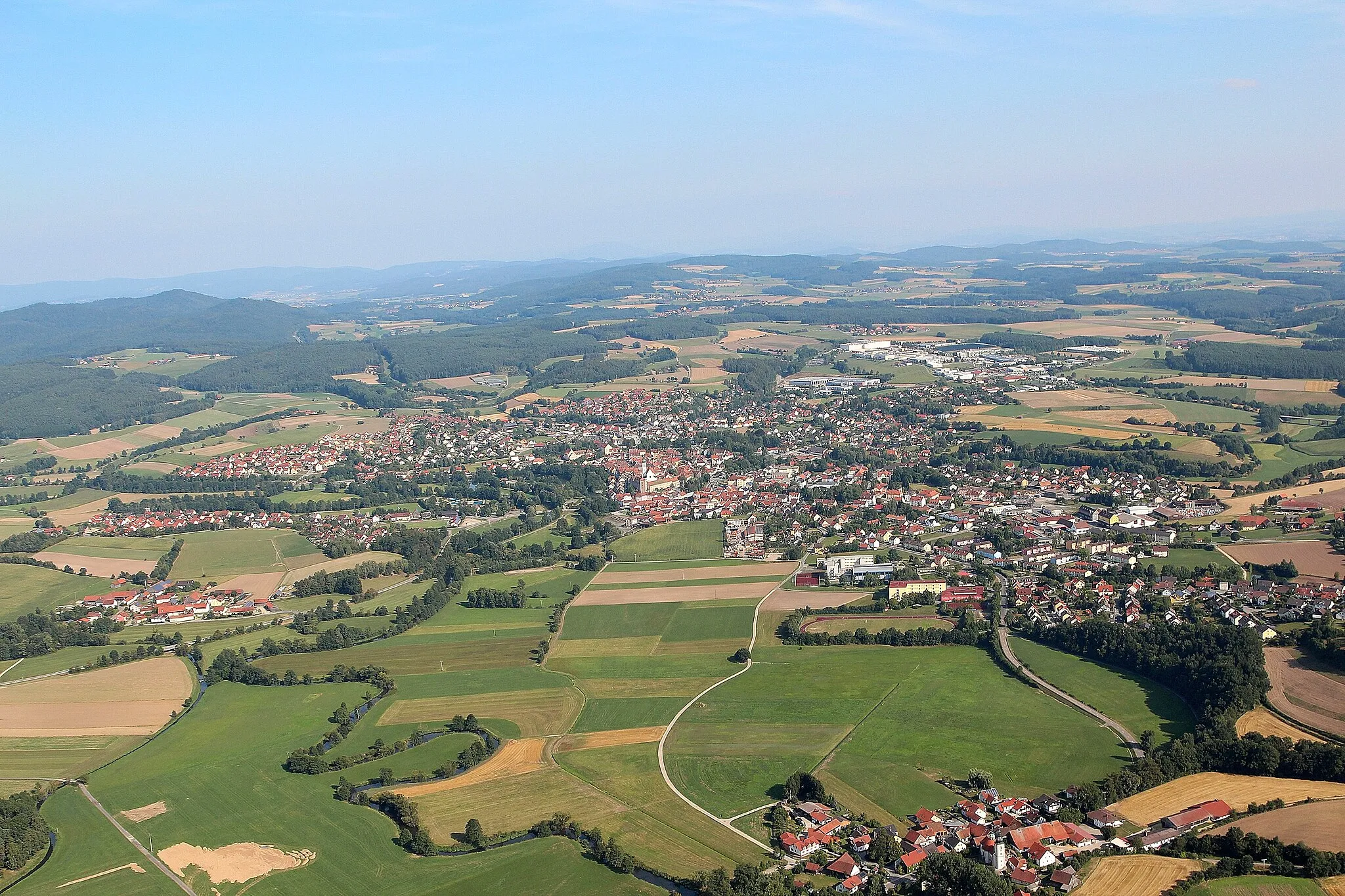
WaldmünchenTownWaldmünchen is a bustling town with a vibrant market square and a variety of cultural attractions.
59 km
59 km
Aster Berg567 mPeakAster Berg is a popular hiking spot that offers panoramic views of the surrounding landscapes.
79 km
79 km
KulzVillageKulz is a quaint Bavarian village with traditional half-timbered houses and narrow streets.
81 km
81 km
Kulm622 mPeakKulm is a small hilltop town that boasts magnificent views of the Bavarian countryside.
87 km
87 km
Finish: Niesaß Village centerOberviechtach: Discovering idyllic landscapes and charming villages in Oberviechtach.
Cycling routes from Oberviechtach:
Cycling routes nearby: