Oberviechtach to Rötz Loop
A road cycling route starting from Oberviechtach
A scenic road cycling route from Oberviechtach to Rötz
Map
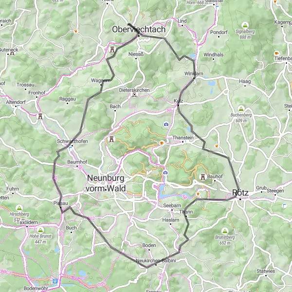
This road cycling route takes you through picturesque landscapes from Oberviechtach to Rötz. With a total distance of 63 km and an ascent of 955 m, it offers a moderately challenging experience for cyclists. The route passes through charming towns and villages, allowing you to explore the local culture and heritage along the way.
road
63 km
955 m
Chill
Route profile
Highlights on the route
0 km
0 km
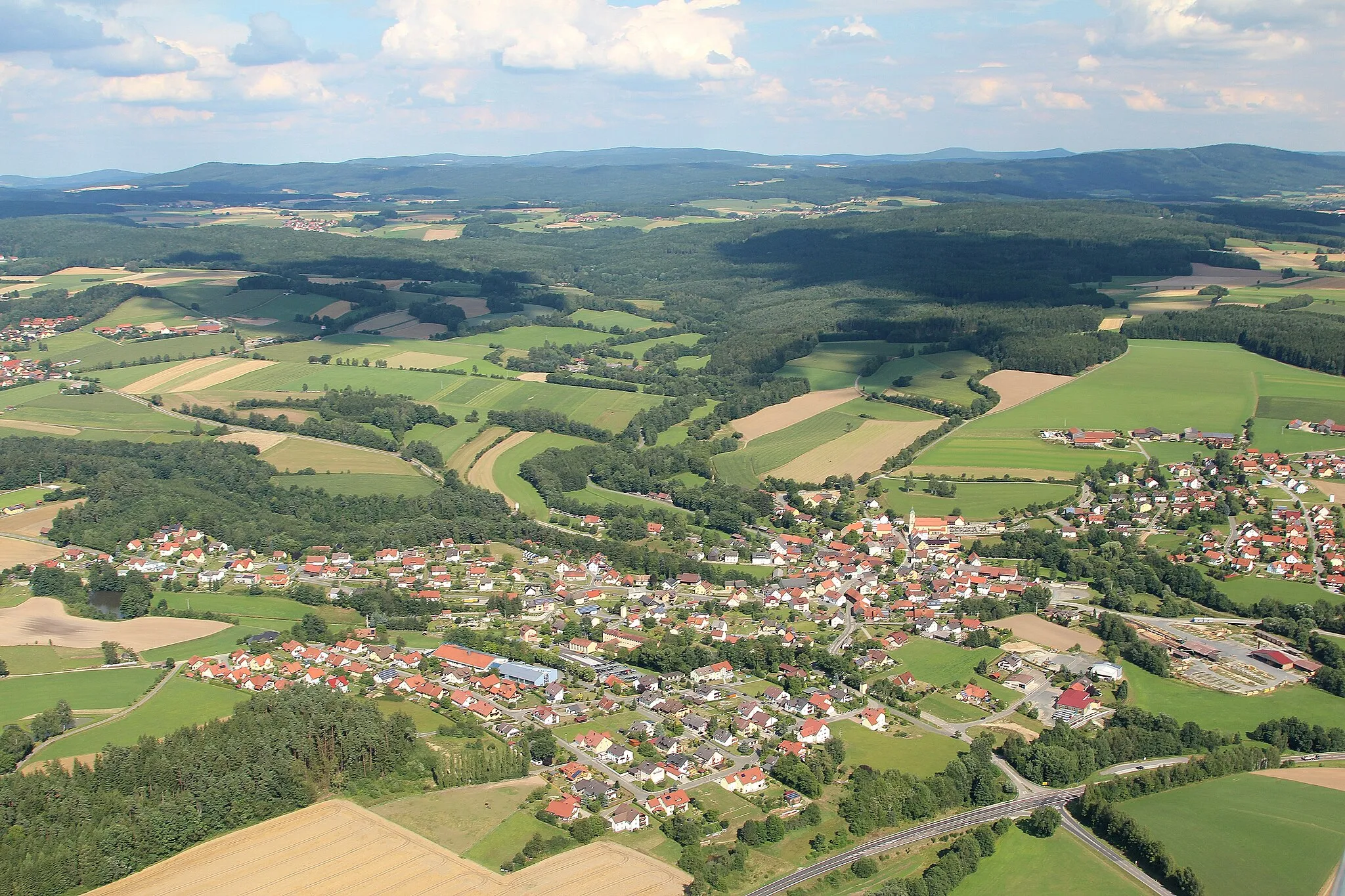
Start: Hof Village centerOberviechtach: Discovering idyllic landscapes and charming villages in Oberviechtach.
Oberviechtach is a town in the Oberpfalz region of Germany. From a cyclist's perspective, this locality offers varied cycling routes through idyllic landscapes and quaint villages. The area is ideal for road and gravel cycling, with well-paved roads and gentle to moderate climbs. Oberviechtach is surrounded by forests and picturesque rivers, providing beautiful scenery for cycling adventures. The town is also known for hosting the annual Inninger Volksberger OPM Marathon, a popular cycling event in the region. Cyclists can also explore nearby areas such as the Upper Palatinate Forest and visit points of interest like the Hammersee Lake.8 km
8 km
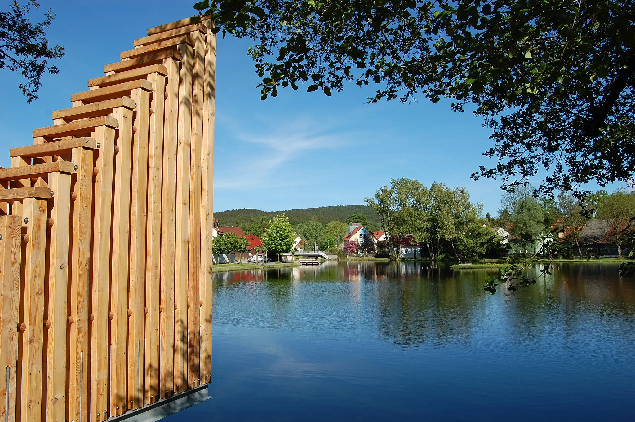
WinklarnVillageLocated 8 km into the route, Winklarn is a quaint village known for its beautiful nature trails and peaceful atmosphere.
10 km
10 km
Kulm622 mPeakKulm, at a distance of 10 km, is a famous historic town perched on a hill with stunning views of the surrounding countryside.
21 km
21 km
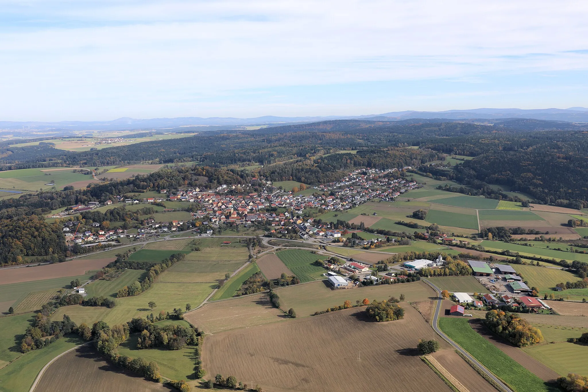
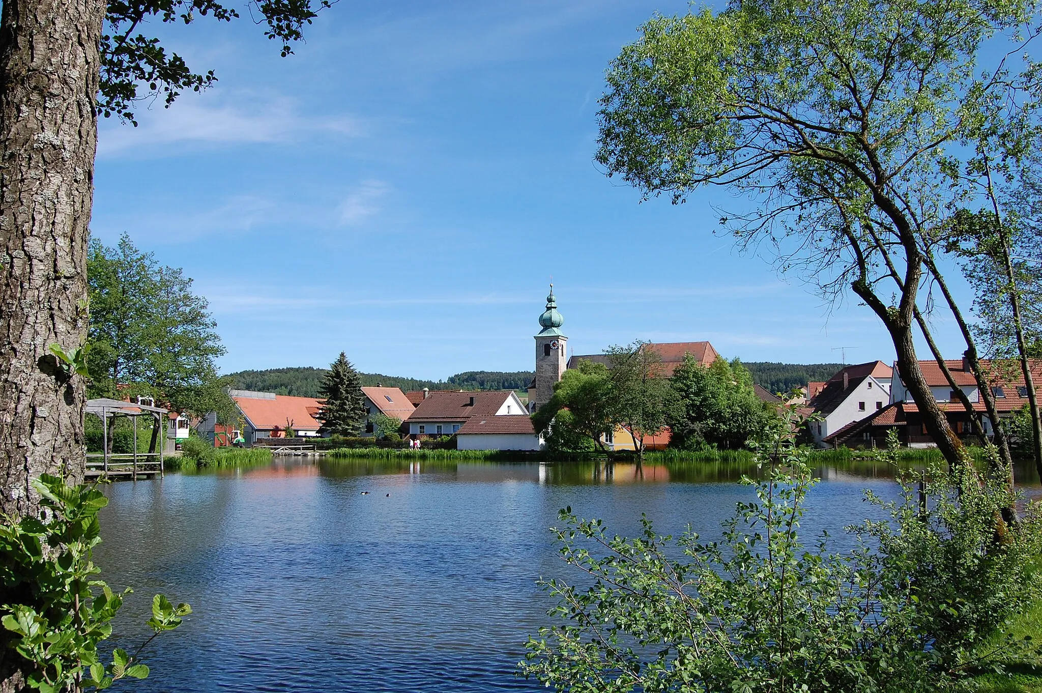
RötzTownRötz, located 21 km into the route, is a charming town known for its medieval architecture and scenic beauty.
26 km
26 km
Simonbügerl573 mPeakYou will pass by Simonbügerl, a historical pilgrimage site, at the 26 km mark. Take a moment to admire the unique architecture and serene surroundings.
32 km
32 km
Neukirchen-BalbiniVillageNeukirchen-Balbini, located at a distance of 32 km, is a small Bavarian village known for its traditional charm and friendly locals.
45 km
45 km
Bügel506 mPeakBügel, at the 45 km mark, is a hidden gem surrounded by lush forests. It offers a peaceful ambiance for a quick break during your ride.
59 km
59 km
Eichelstein585 mPeakEichelstein, located 59 km into the route, is a nature lover's paradise. This idyllic spot is perfect for a refreshing stop and enjoying the scenic beauty.
62 km
62 km
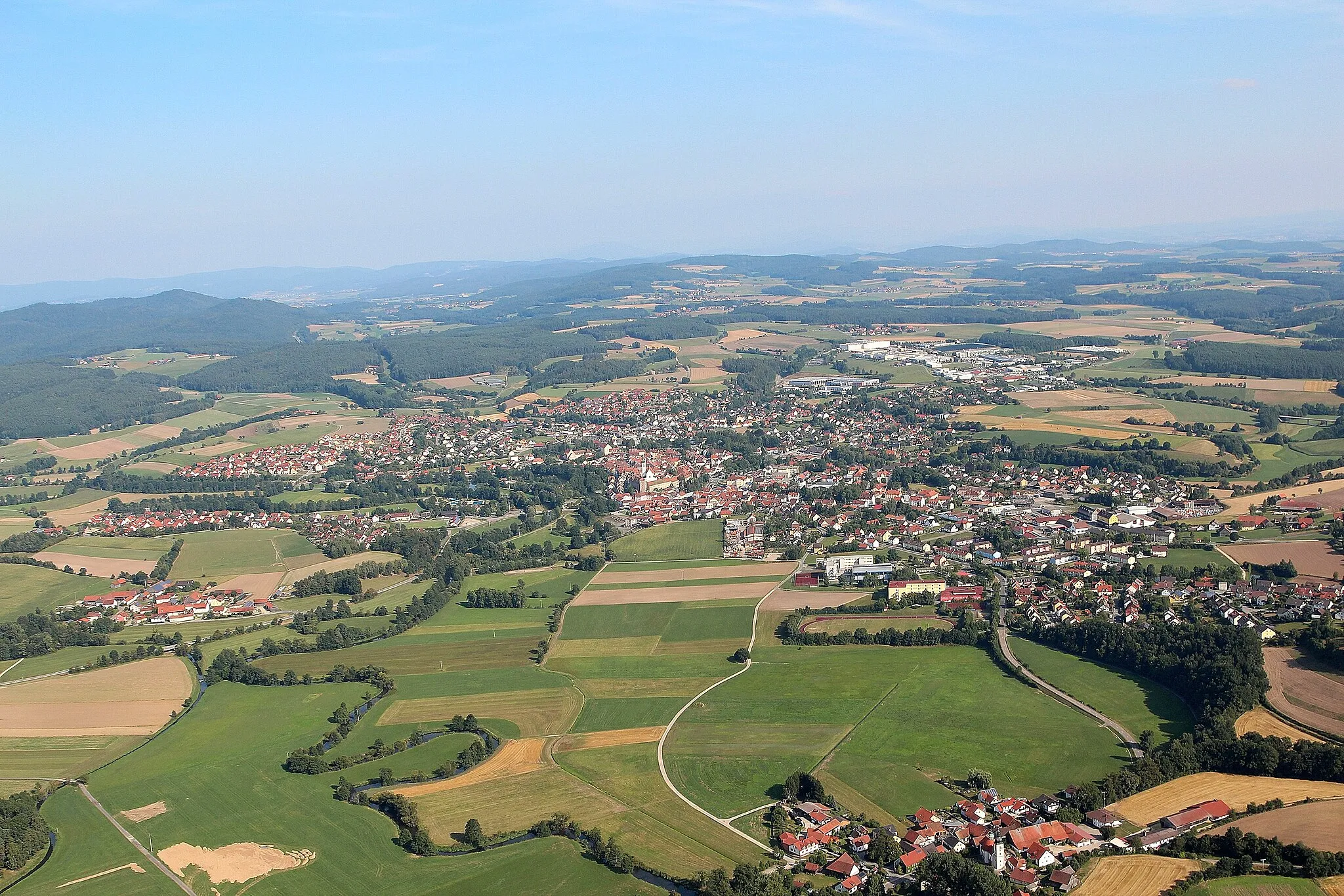
OberviechtachTownOberviechtach, the starting point of the route, is a charming town known for its historic architecture and vibrant local culture.
63 km
63 km
Finish: Hof Village centerOberviechtach: Discovering idyllic landscapes and charming villages in Oberviechtach.
Cycling routes from Oberviechtach:
Cycling routes nearby: