Ultimate Road Challenge: Roding to Bach an der Donau
A road cycling route starting from Roding
Experience the ultimate road cycling challenge from Roding to Bach an der Donau
Map
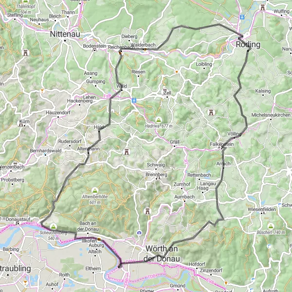
Venture on a challenging 85 km road cycling route from Roding to Bach an der Donau. With a total ascent of 1311 m, this route is recommended for well-trained amateur cyclists seeking a more demanding adventure. The diverse route takes you through scenic landscapes, picturesque villages, and historic sites. Highlights include the stunning silhouette of Roding, the charming town of Wörth an der Donau with its rich cultural heritage, and the magnificent Schloßberg offering panoramic views of the surrounding area. As you pedal through the winding roads and picturesque countryside, indulge in breathtaking viewpoints and immerse yourself in Bavaria's unique charm and beauty.
road
85 km
1311 m
Tough
Route profile
Highlights on the route
0 km
0 km
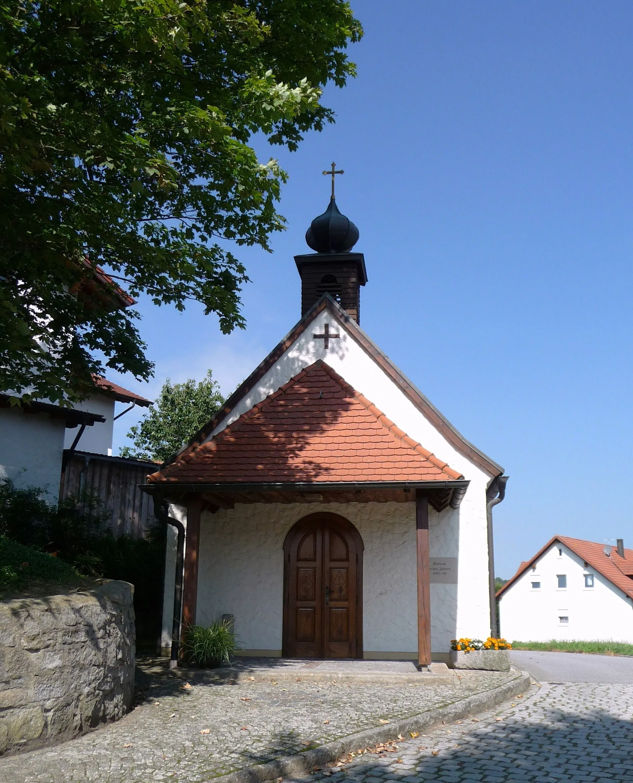
Start: Roding City centerRoding: Exploring the diverse landscapes of Roding
Roding, located in Oberpfalz, Germany, provides a diverse and picturesque setting for road and gravel cyclists. The region offers a mix of flat terrain and rolling hills, allowing riders to choose between leisurely rides or more challenging routes. Cyclists can also visit nearby notable cycling-related spots such as Regental-Radweg and Rodinger Kloster for additional exploration.0 km
0 km
RodingTownWitness the striking cultural significance of Roding with its rich history, evident in its architecture and vibrant atmosphere.
12 km
12 km
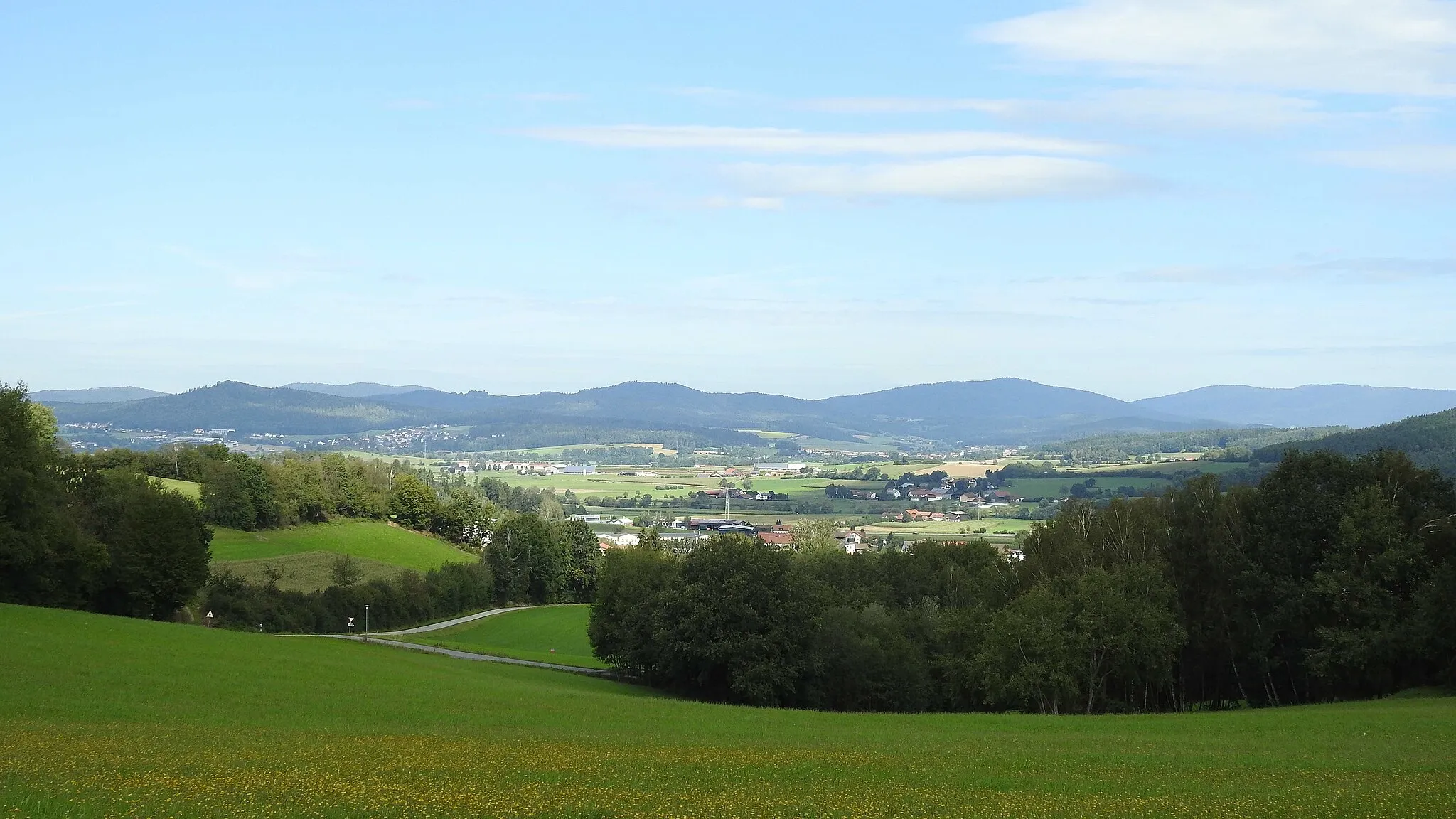
SchanzlViewpointClimb up to Schanzl for rewarding panoramic views, making it an ideal spot to take in the beauty of the surrounding landscapes.
29 km
29 km
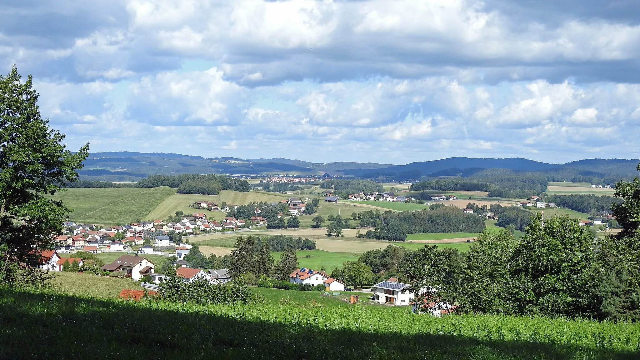
Wörth an der DonauTownWörth an der Donau boasts a captivating blend of history and modernity, making it a must-see destination along the route.
29 km
29 km
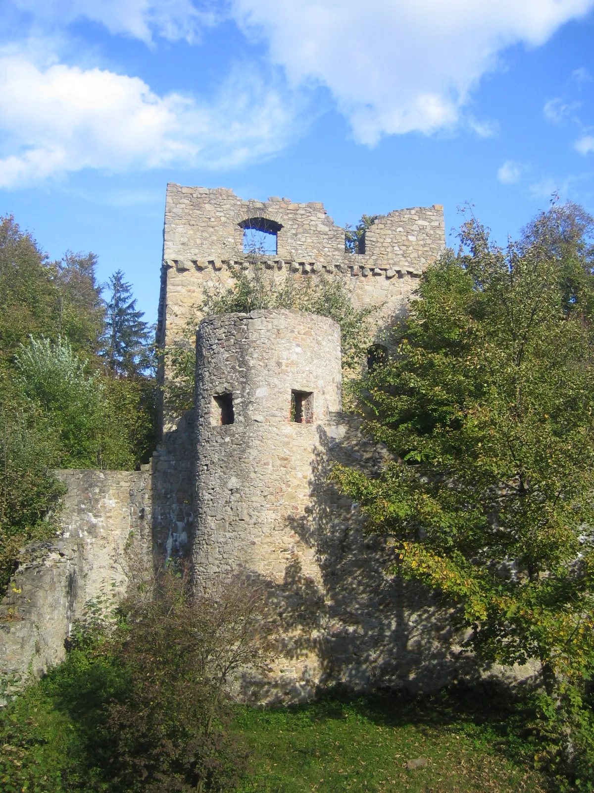
Schloßberg380 mPeakPerched atop a hill, the majestic Schloßberg grants a privileged view of the charming scenery that intricately unfolds below.
40 km
40 km
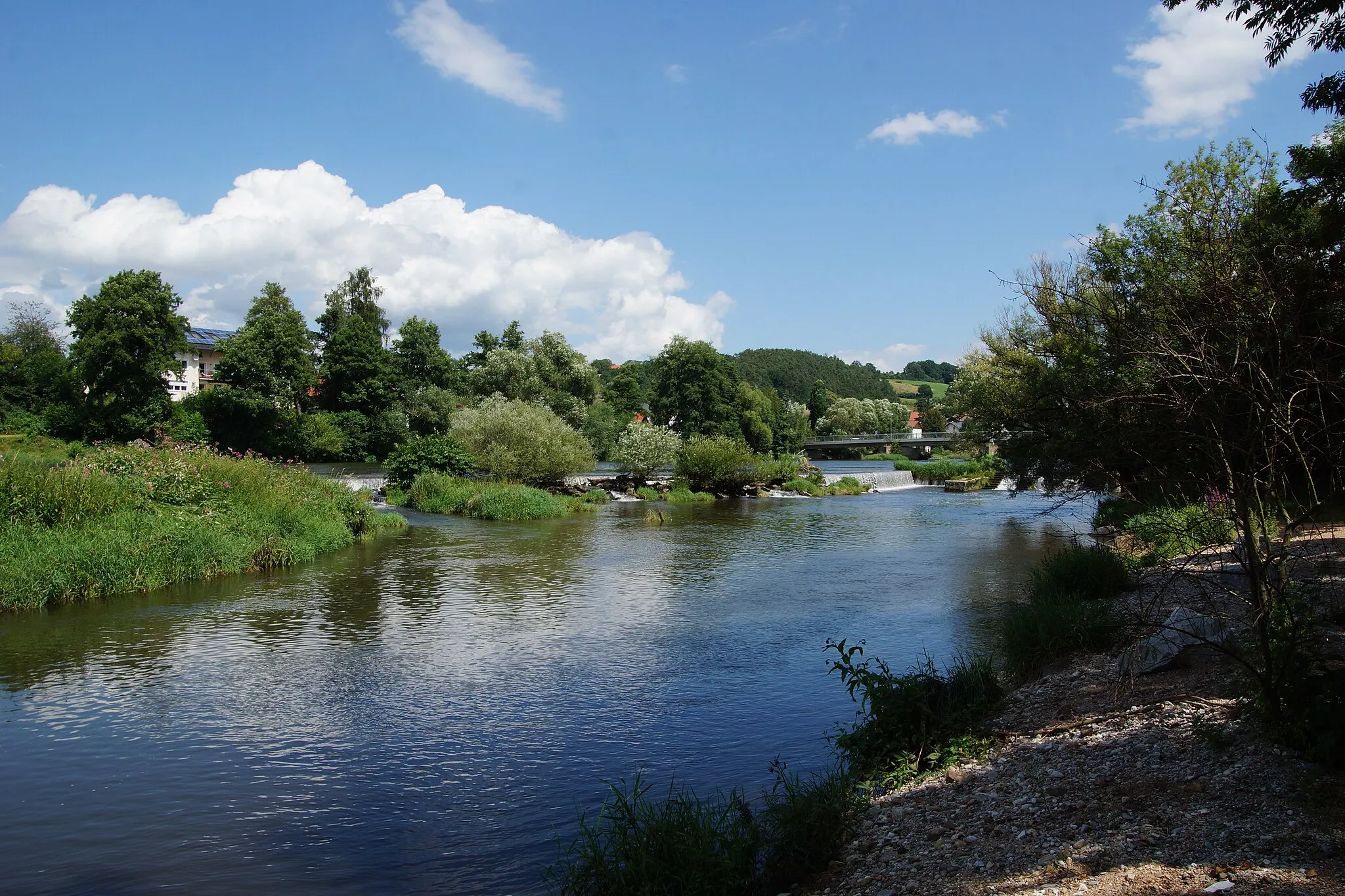
Bach an der DonauVillageBach an der Donau, situated on the Danube River, offers peaceful riverside settings and serves as a tranquil rest stop for cyclists.
44 km
44 km
Scheuchenberg540 mPeakScheuchenberg rewards cyclists with breathtaking panoramic vistas, reaffirming the natural beauty of the area.
55 km
55 km
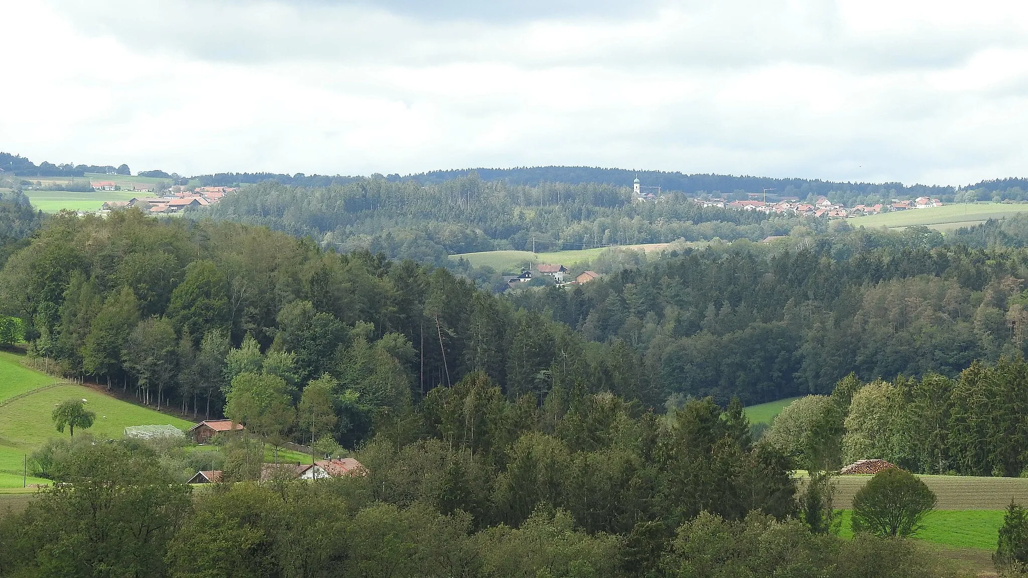
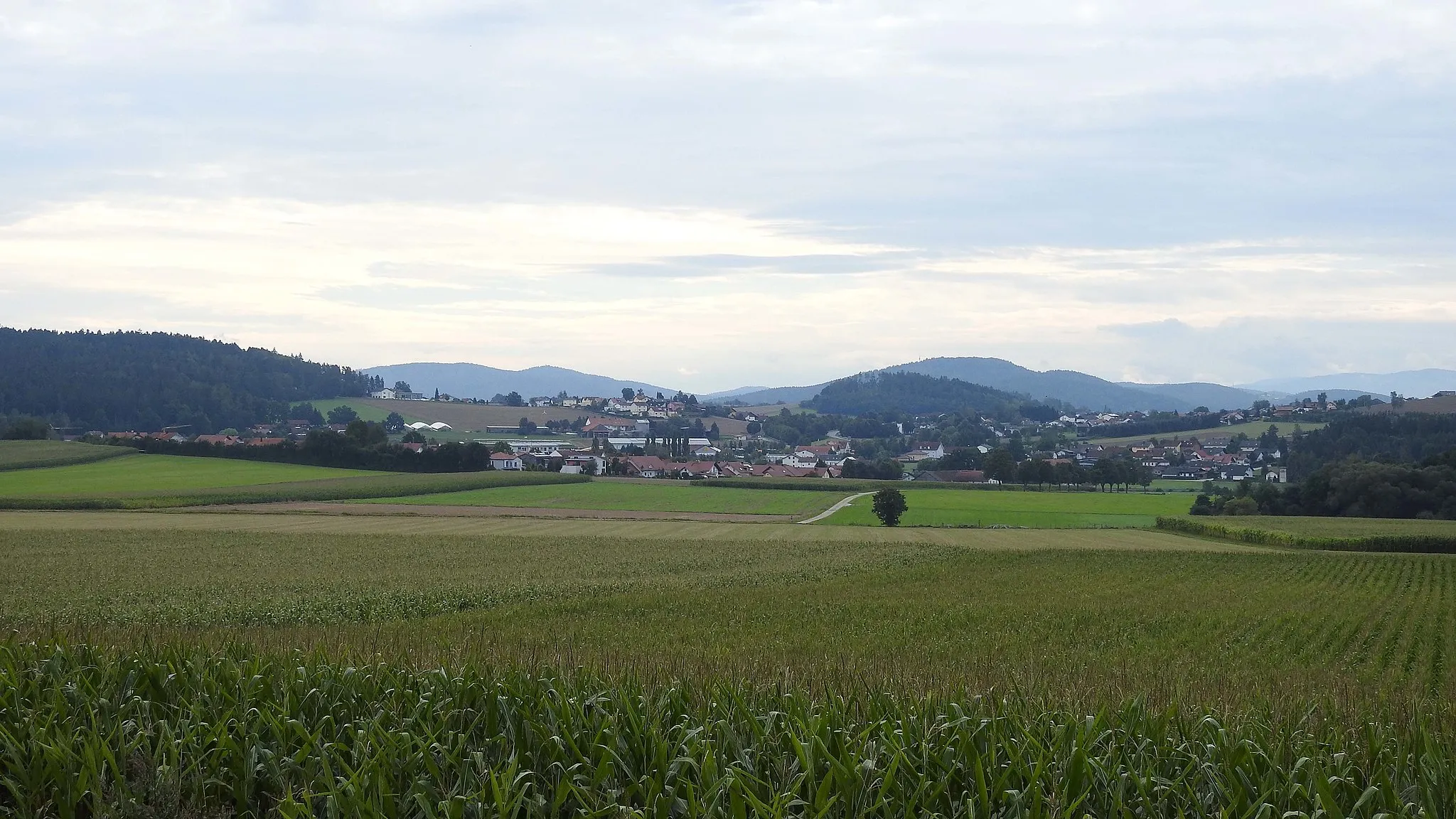
AltenthannVillageAltenthann invites you to discover its idyllic rural scenery and charming Bavarian character.
63 km
63 km
Hirtenberg593 mPeakA visit to Hirtenberg presents a chance to unravel Bavaria's traditional rural heritage amidst enchanting surroundings.
71 km
71 km
WalderbachVillageWalderbach's historic monastery offers a glimpse into the area's past and provides a serene atmosphere to reflect upon.
82 km
82 km
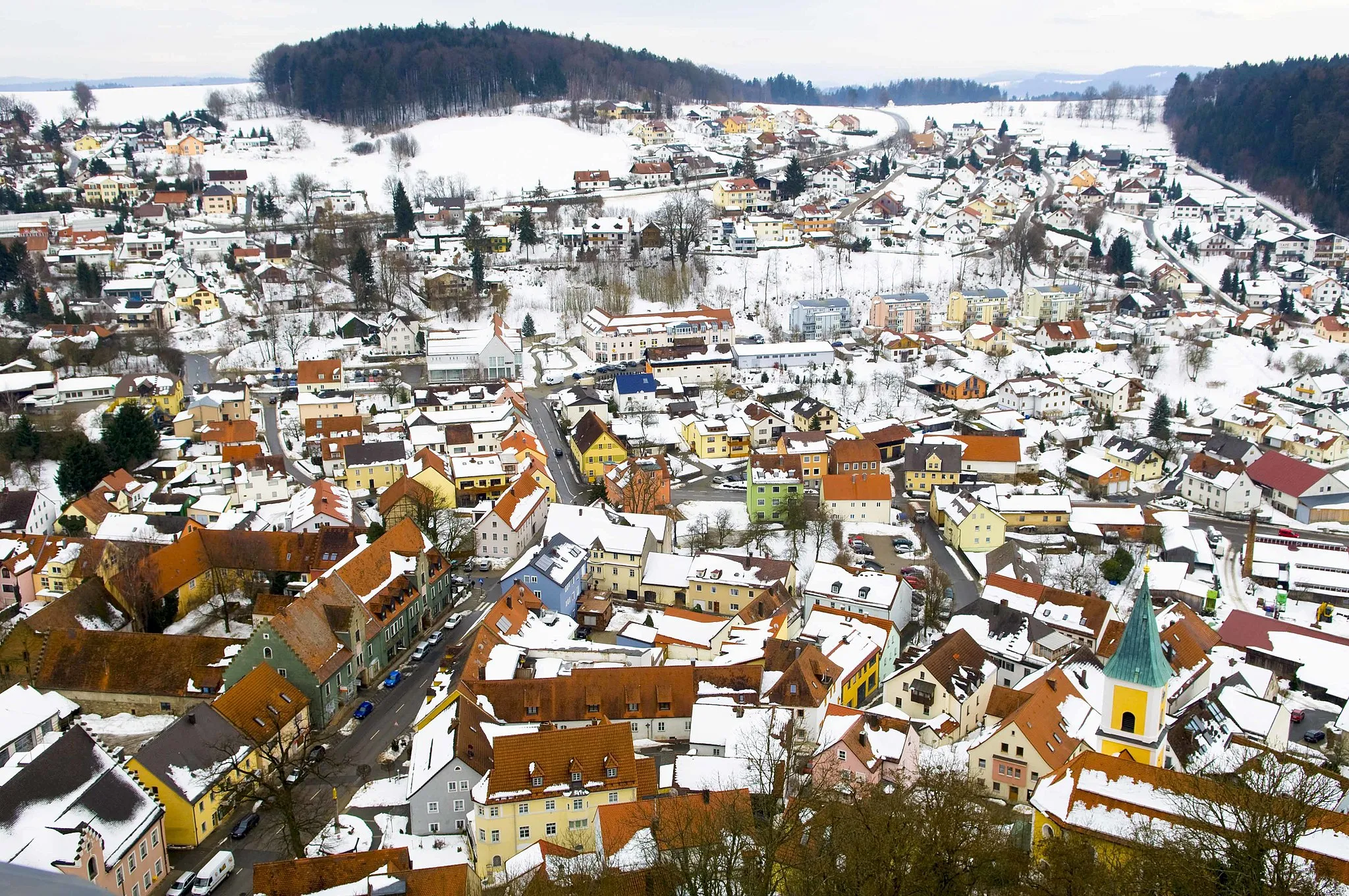
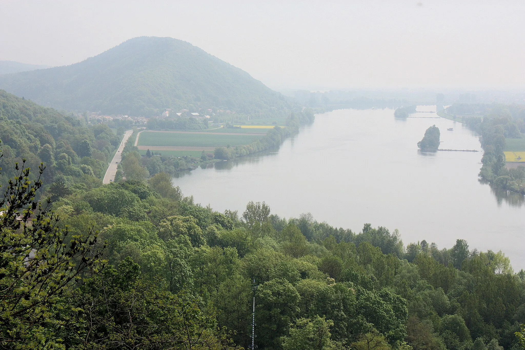
Stadtsilhouette und RegenflussViewpointEnjoy the captivating sight of Roding's city skyline and the flowing Regen River, seamlessly merging natural and urban elements.
85 km
85 km
Finish: Roding City centerRoding: Exploring the diverse landscapes of Roding
Cycling routes from Roding:
The Rolling Hills of Roding Gravel Adventure in Oberer Bayerischer Wald Uncovering the Gem of Roding Exploring the Gravel Paths of Oberer Bayerischer Wald Ultimate Road Challenge: Roding to Bach an der Donau Roding and its Surroundings Rural Charm and Natural Beauty Gravel Adventure in Oberpfalz Historical Landmarks and Scenic Routes Serene Lakes and Picturesque Landscapes Hilly Adventure through the Upper Bavarian Forest Roding and Beyond: Cycling Delight in the Heart of Bavaria
Cycling routes nearby: