Roding and its Surroundings
A road cycling route starting from Roding
Explore the scenic beauty and charming towns near Roding
Map
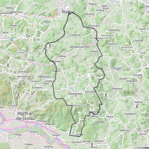
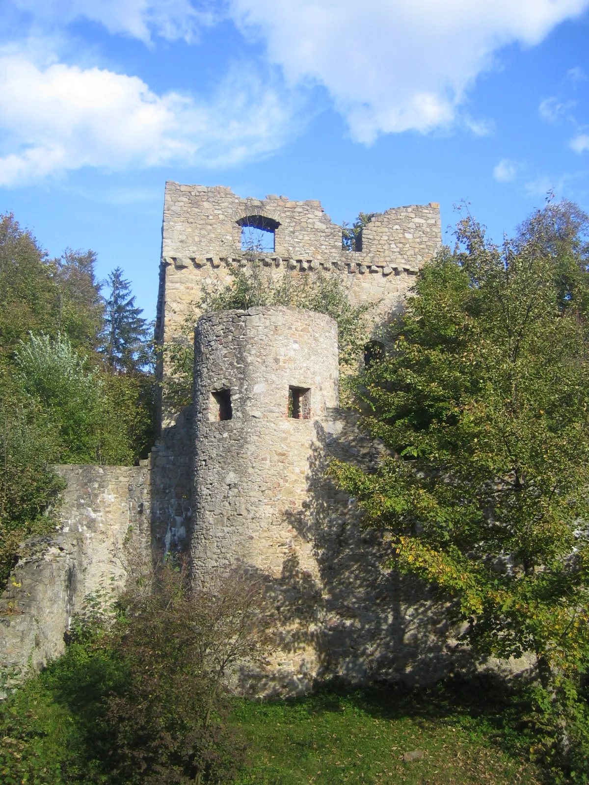
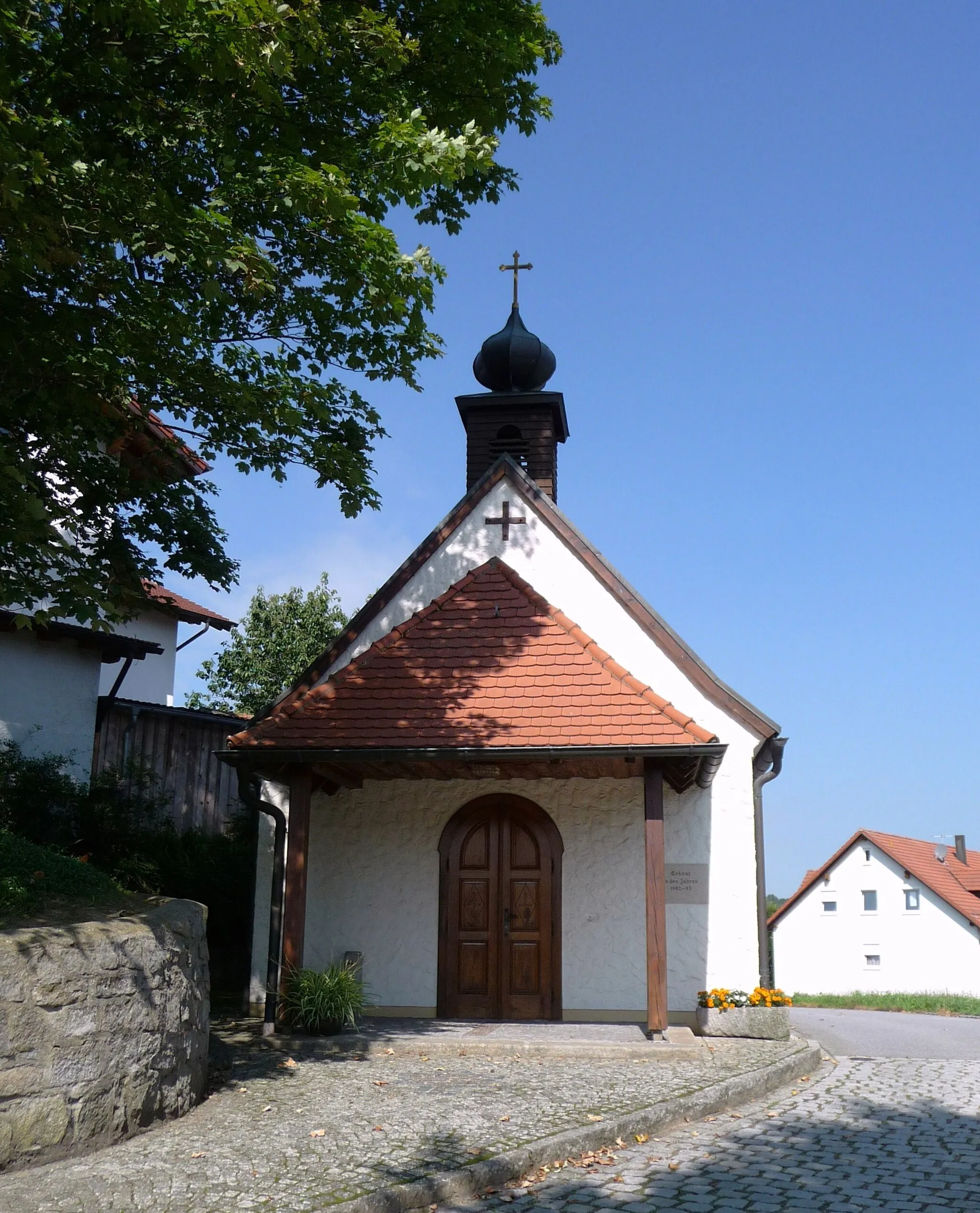
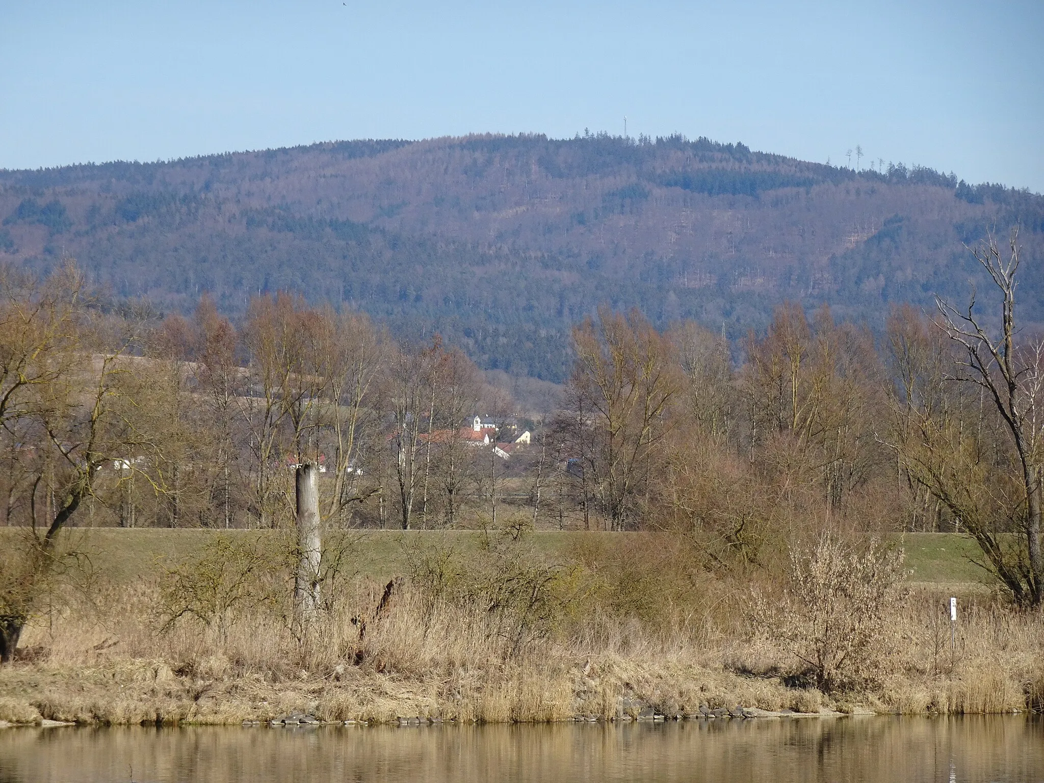
This route allows you to discover the picturesque landscapes and authentic Bavarian towns surrounding Roding. With a distance of 76 kilometers and an ascent of 1544 meters, it is suitable for moderately experienced cyclists. The route starts in Roding and takes you through Koppenberg, Pilgramsberg, Saulburg, Kobelberg, Lauberberg, and Unterlintach before returning to Roding. The diverse highlights along the way include historical sites, such as the Taufkapelle and the Wasserburg church, as well as natural wonders like the Teufelsfelsen and Falkenfels.
road
76 km
1544 m
Tough
Route profile
Highlights on the route
0 km
0 km
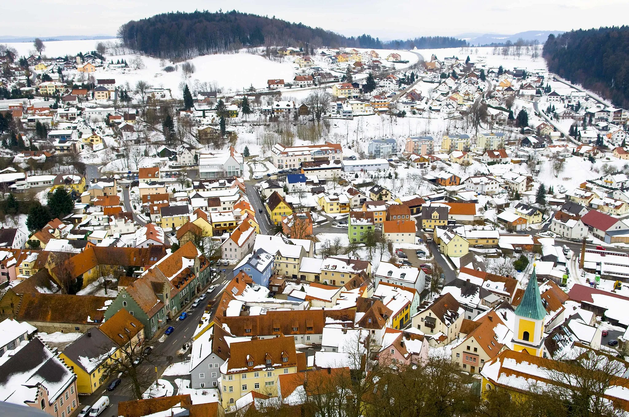
Start: Roding City centerRoding: Exploring the diverse landscapes of Roding
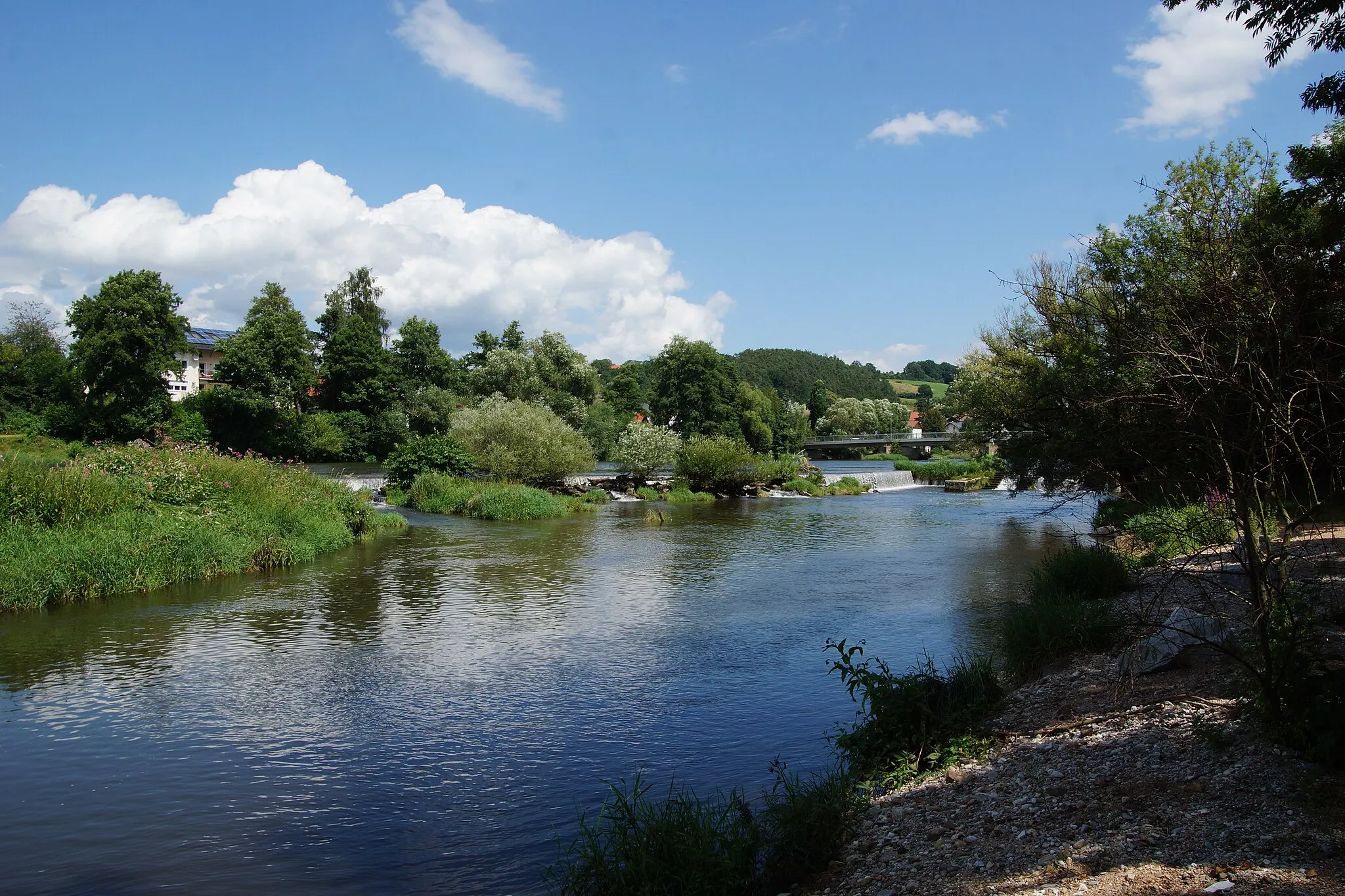
Roding, located in Oberpfalz, Germany, provides a diverse and picturesque setting for road and gravel cyclists. The region offers a mix of flat terrain and rolling hills, allowing riders to choose between leisurely rides or more challenging routes. Cyclists can also visit nearby notable cycling-related spots such as Regental-Radweg and Rodinger Kloster for additional exploration.0 km
0 km
RodingTownRoding is a charming town with a rich history, known for its beautiful architecture and cultural heritage.
5 km
5 km
Koppenberg553 mPeakExperience an exhilarating climb on the infamous Koppenberg, known for its challenging gradients.
26 km
26 km
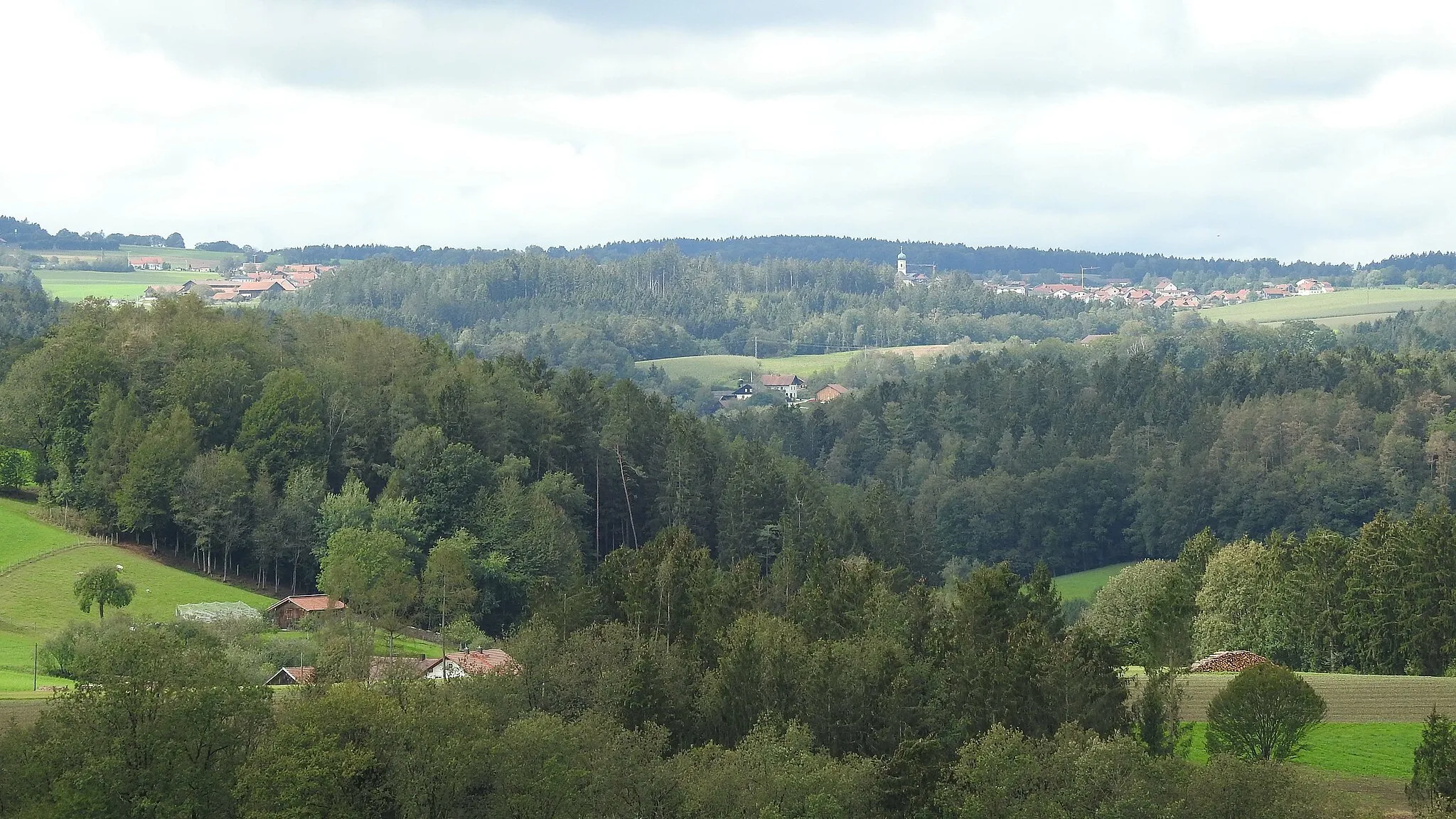
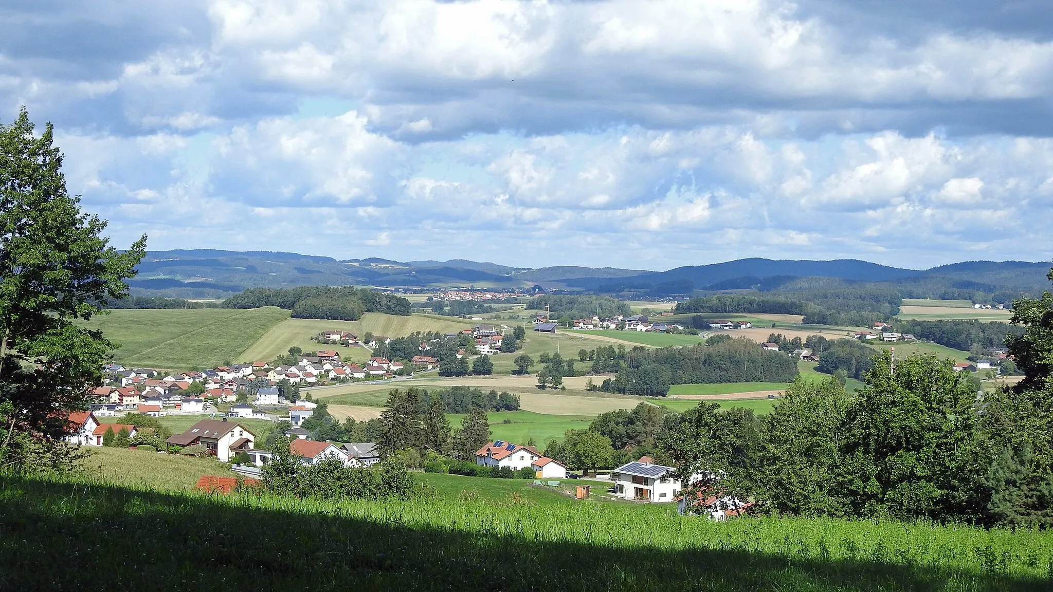
Pilgramsberg619 mPeakPilgramsberg offers stunning panoramic views of the Bavarian countryside.
44 km
44 km
SaulburgVillageSaulburg is a quaint village surrounded by green meadows and forests, perfect for a relaxing break.
49 km
49 km
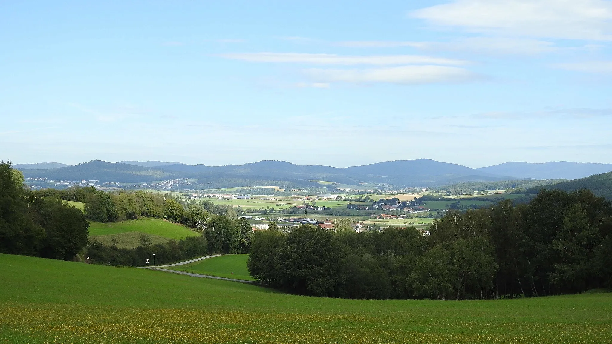
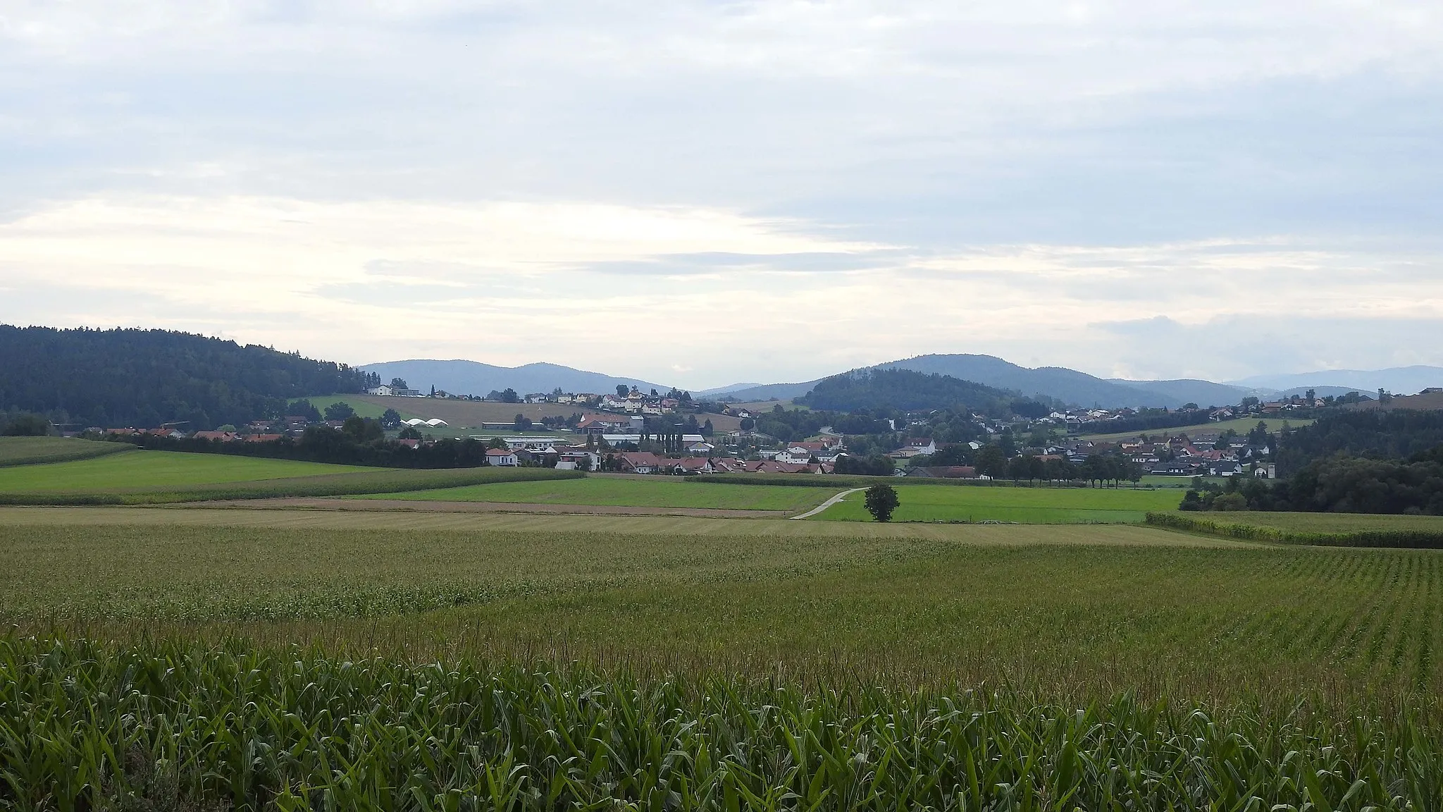
Kobelberg703 mPeakKobelberg is a scenic hill with vineyards and picturesque landscapes.
62 km
62 km
Lauberberg594 mPeakLauberberg offers a peaceful countryside setting with charming farmhouses.
73 km
73 km
UnterlintachVillageUnterlintach is a tranquil village nestled amidst rolling hills and lush green fields.
76 km
76 km
Finish: Roding City centerRoding: Exploring the diverse landscapes of Roding
Cycling routes from Roding:
The Rolling Hills of Roding Gravel Adventure in Oberer Bayerischer Wald Uncovering the Gem of Roding Exploring the Gravel Paths of Oberer Bayerischer Wald Ultimate Road Challenge: Roding to Bach an der Donau Roding and its Surroundings Rural Charm and Natural Beauty Gravel Adventure in Oberpfalz Historical Landmarks and Scenic Routes Serene Lakes and Picturesque Landscapes Hilly Adventure through the Upper Bavarian Forest Roding and Beyond: Cycling Delight in the Heart of Bavaria
Cycling routes nearby: