The Kalmit Climbs: A Challenging Road Route from Böhl-Iggelheim
A road cycling route starting from Bohl-Iggelheim
Conquer the steep ascent of Kalmit and enjoy breathtaking views of the Rhine Valley.
Map
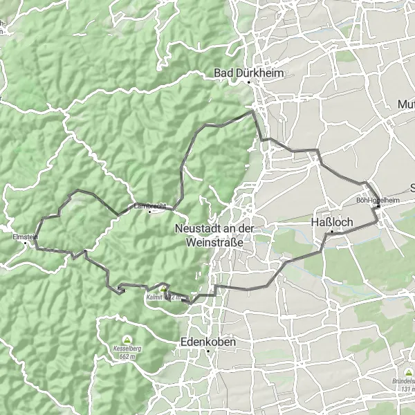
This road route takes you on a challenging journey from Böhl-Iggelheim to the top of Kalmit, the highest peak in the Palatinate Forest. The climb to Kalmit is tough but rewarding, offering panoramic views of the Rhine Valley. Along the way, you'll also pass through Maikammer and Grünberg, two picturesque towns known for their vineyards. The overall difficulty of this route is rated as a 4 out of 5, suitable for very well-trained amateurs. With its epicness score of 3, this route is perfect for cyclists seeking a challenging adventure without venturing into legendary climbs.
road
81 km
1190 m
Tough
Route profile
Highlights on the route
0 km
0 km
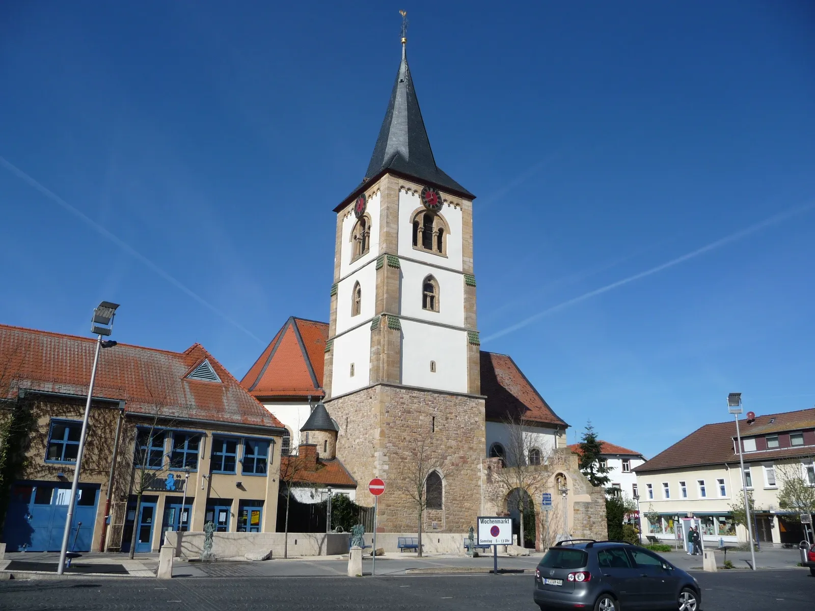
Start: Böhl-Iggelheim Village centerBöhl-Iggelheim: Tranquil Routes amid Vineyard Vistas
Böhl-Iggelheim, situated in Rheinhessen-Pfalz, Germany, offers a mix of flat and rolling terrains that cater to a range of cycling preferences. It is a cyclist-friendly locality with well-maintained roads and ample cycling infrastructure. The region's wineries and vineyards add to its appeal, creating opportunities for delightful pit stops along the way. The nearby Kurpfalz region is famous for its challenging climbs, making Böhl-Iggelheim an attractive destination for cyclists seeking both leisurely rides and exhilarating ascents.0 km
0 km
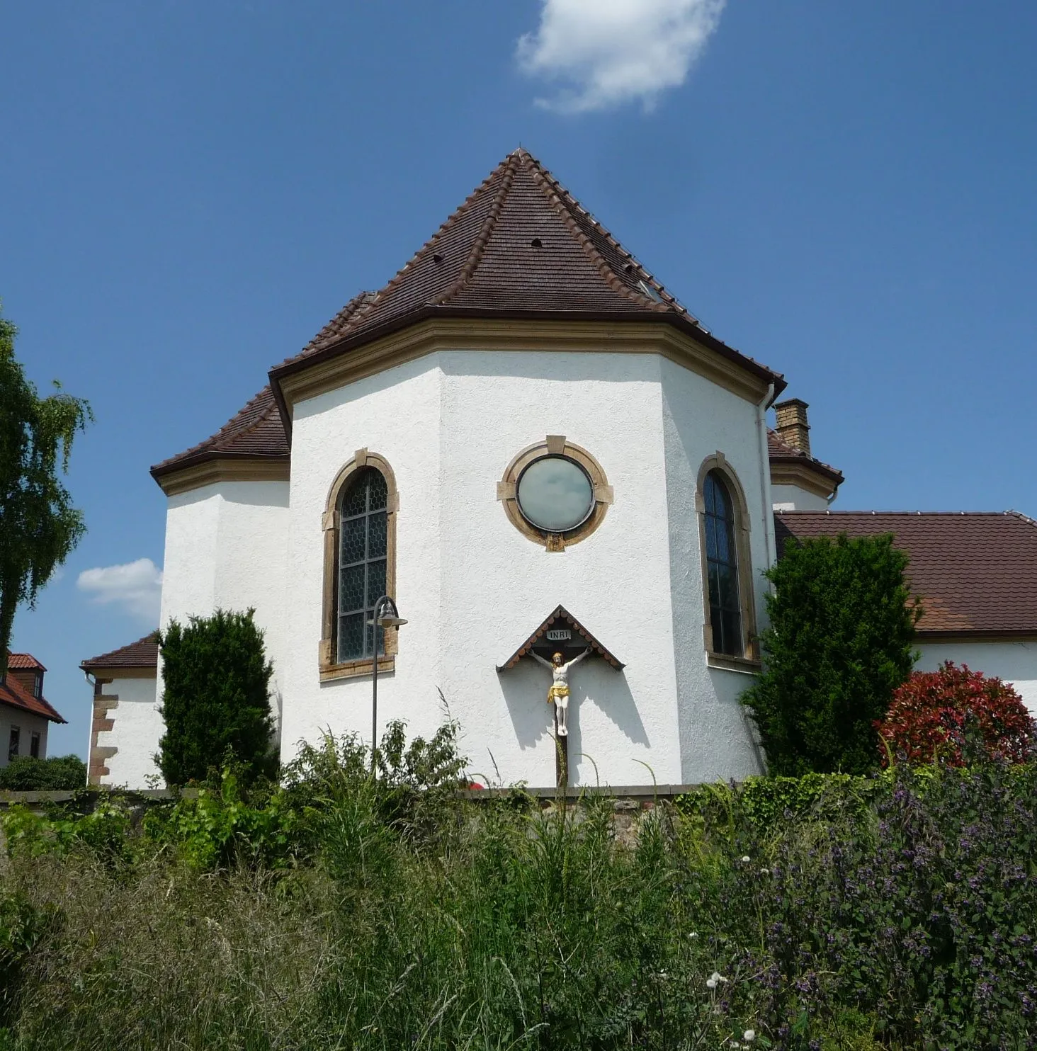
Böhl-IggelheimVillageBöhl-Iggelheim serves as the starting point for this route. Explore the charming village before embarking on your cycling journey.
18 km
18 km
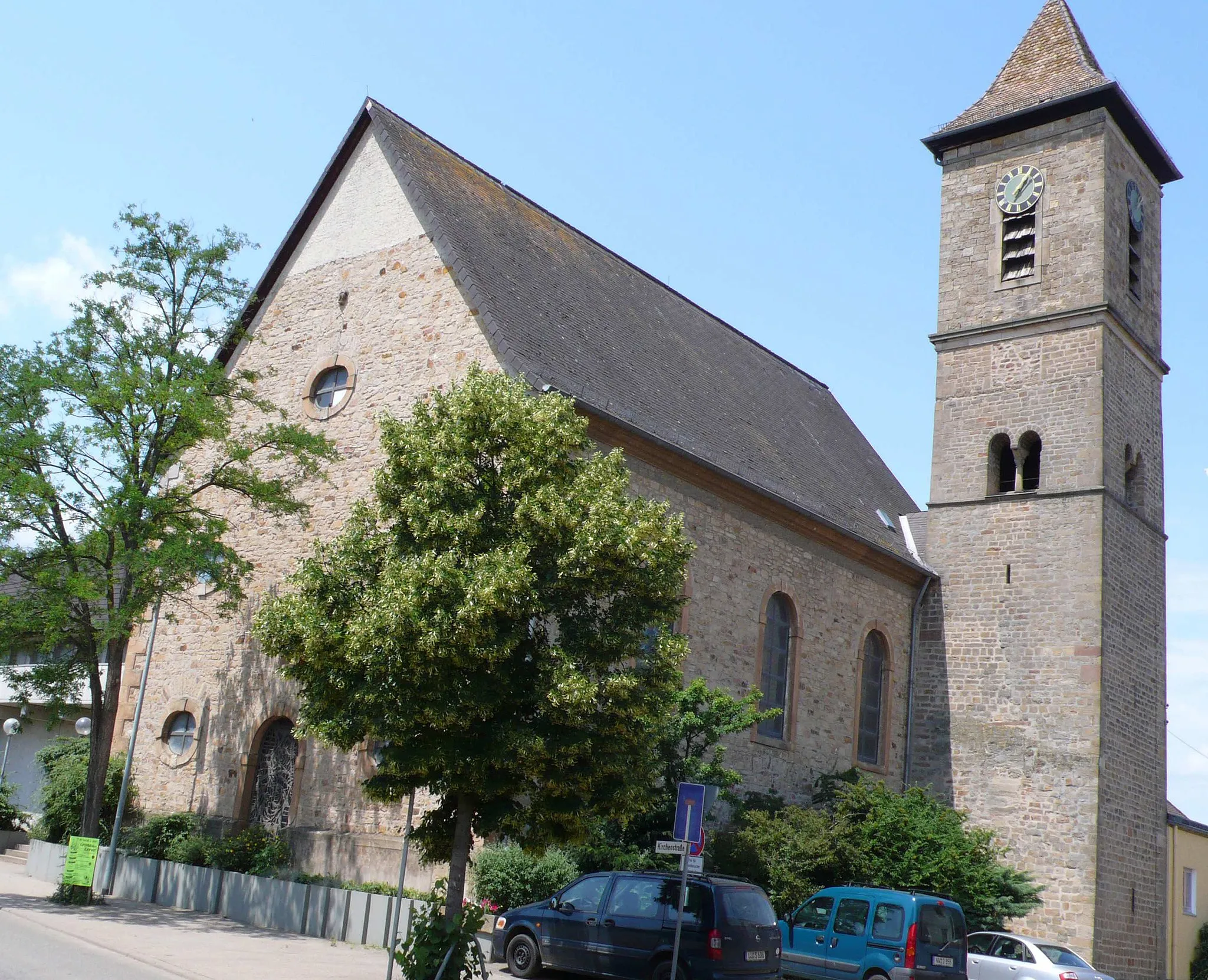
MaikammerVillageIn Maikammer, take a break and indulge in some local wines at the renowned vineyards.
24 km
24 km
Kalmit672 mPeakArrive at the summit of Kalmit and enjoy spectacular views of the Rhine Valley and surrounding forests.
39 km
39 km
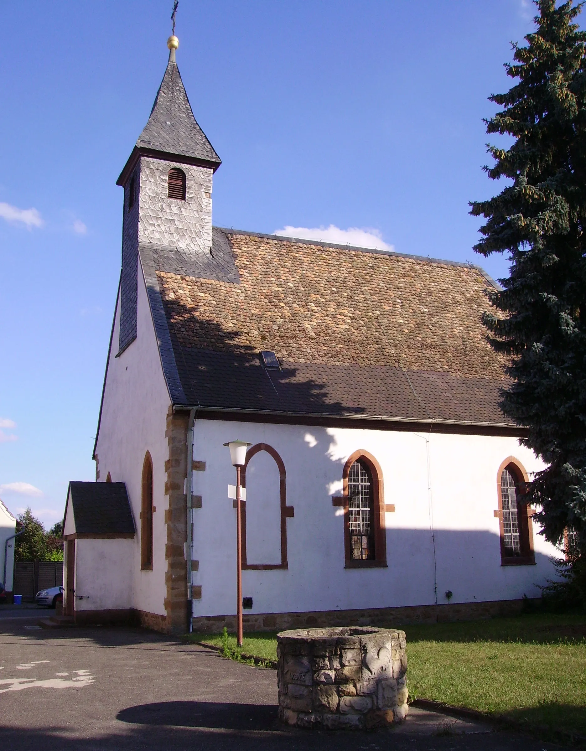
Grünberg424 mPeakNestled amidst vineyards, Grünberg offers a beautiful backdrop for a rest stop.
41 km
41 km
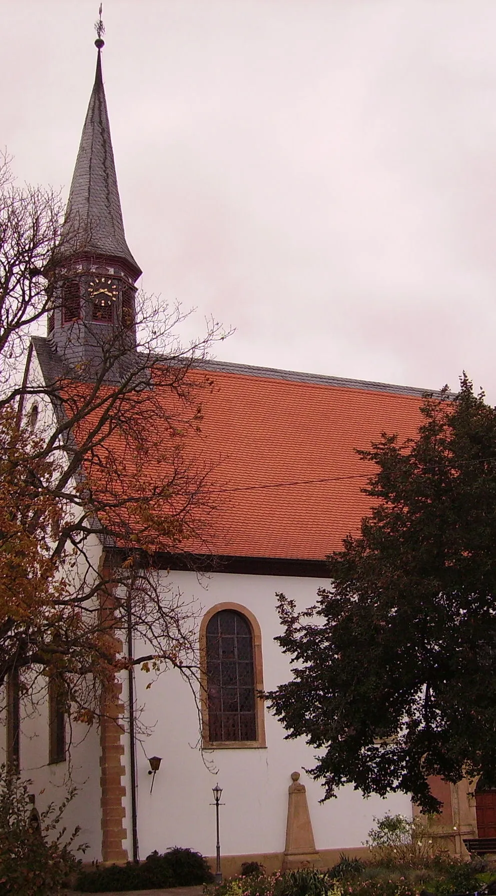
ElmsteinVillagePedal through Elmstein, a charming village known for its timber-framed houses.
52 km
52 km
FrankeneckVillageAs you approach Frankeneck, take in the scenic beauty of the surrounding woods and nature reserves.
65 km
65 km
Pechsteinkopf355 mPeak75 km
75 km
MeckenheimVillagePass through the historic town of Meckenheim and admire its well-preserved buildings.
81 km
81 km
Finish: Böhl-Iggelheim Village centerBöhl-Iggelheim: Tranquil Routes amid Vineyard Vistas
Cycling routes from Bohl-Iggelheim:
Speyer Discovery: Exploring History and Nature by Road The Kalmit Climbs: A Challenging Road Route from Böhl-Iggelheim Haßloch to Bad Dürkheim Road Cycling Route Böhl-Iggelheim to Speyer Cycling Route Böhl-Iggelheim to Fußgönheim Gravel Route Mutterstadt to Speyer Gravel Route Exploring Vineyard Gravel Roads: Böhl-Iggelheim to Ruppertsberg Gravel Adventure: Discovering the Surrounding Towns from Böhl-Iggelheim Speyer and Schwegenheim Gravel Loop: History and Countryside Neuhofen to Iggelheim Cycling Route
Cycling routes nearby: