Haßloch to Bad Dürkheim Road Cycling Route
A road cycling route starting from Bohl-Iggelheim
Embark on a challenging road cycling journey from Haßloch to Bad Dürkheim.
Map
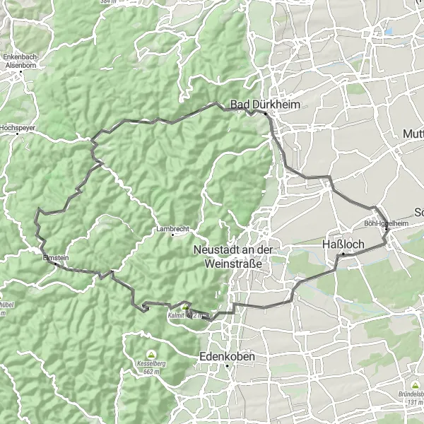
This road cycling route takes you from Haßloch to Bad Dürkheim, offering magnificent views and challenging climbs. With a total distance of 91 kilometers and a significant ascent of 1278 meters, this route is suited for experienced cyclists. Highlights along the route include Maikammer, the majestic Kalmit, Elmstein, Burgruine Frankenstein, Eckberg, and Bergfried. These highlights have been evaluated and scored to provide further information about their attractiveness level along the route.
road
91 km
1278 m
Tough
Route profile
Highlights on the route
0 km
0 km
Start: Böhl-Iggelheim Village centerBöhl-Iggelheim: Tranquil Routes amid Vineyard Vistas
Böhl-Iggelheim, situated in Rheinhessen-Pfalz, Germany, offers a mix of flat and rolling terrains that cater to a range of cycling preferences. It is a cyclist-friendly locality with well-maintained roads and ample cycling infrastructure. The region's wineries and vineyards add to its appeal, creating opportunities for delightful pit stops along the way. The nearby Kurpfalz region is famous for its challenging climbs, making Böhl-Iggelheim an attractive destination for cyclists seeking both leisurely rides and exhilarating ascents.5 km
5 km
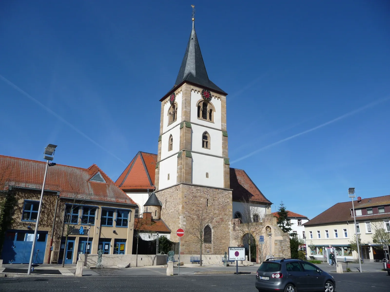
HaßlochTownHaßloch is a vibrant town known for its amusement park and recreational facilities. Take a s</em>troll through the town center and enjoy the lively atmosphere.
18 km
18 km
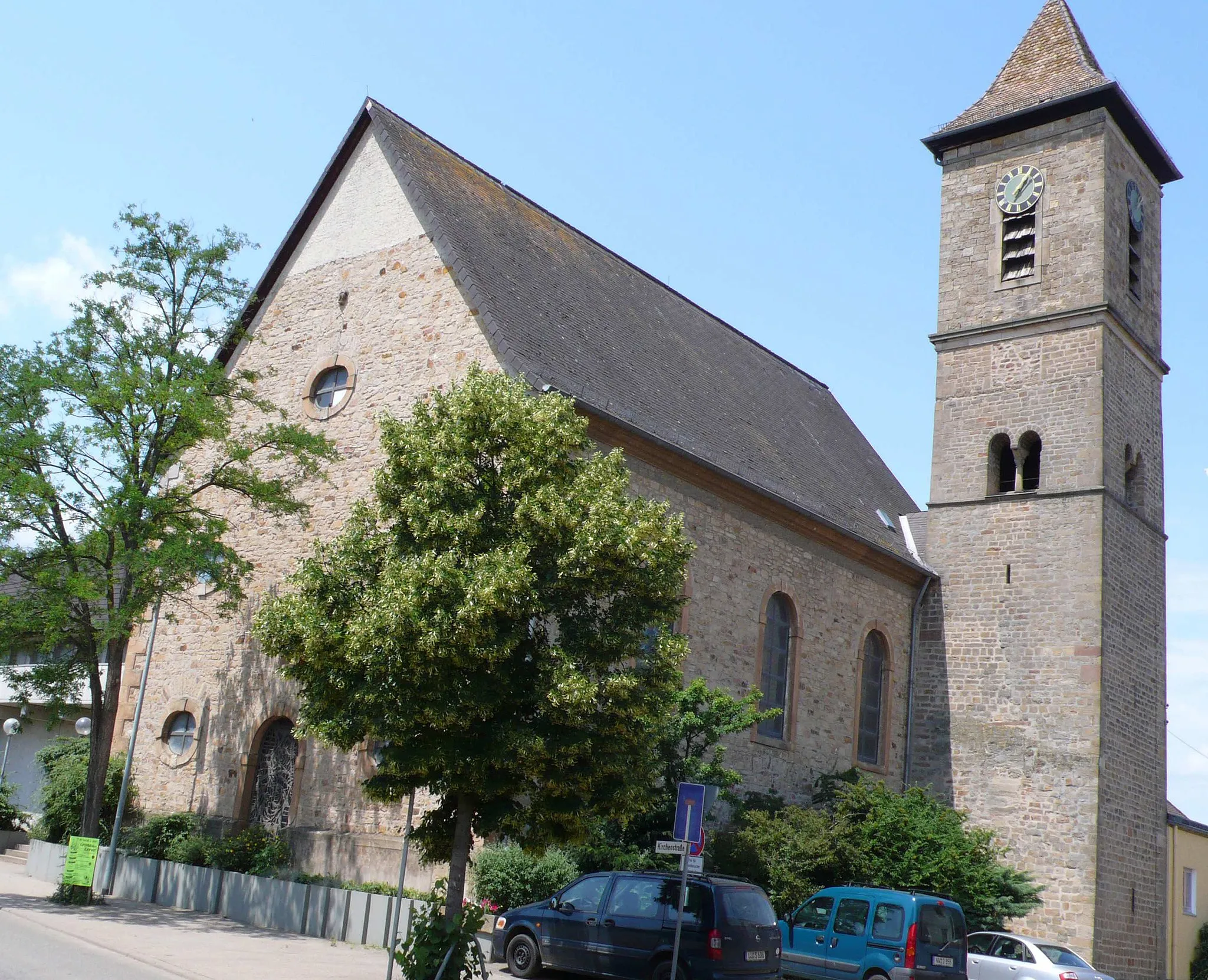
MaikammerVillageMaikammer is located in the heart of the German Wine Route, surrounded by beautiful vineyards. Visit one of the local wineries and sample some of the finest wines the region has to offer.
24 km
24 km
Kalmit672 mPeakKalmit is the highest peak in the Palatinate Forest. Challenge yourself and conquer this legendary climb, rewarded with breathtaking views from the top.
39 km
39 km
Grünberg424 mPeakGrünberg is a picturesque village with charming half-timbered houses and narrow alleys. Take a moment to explore and immerse yourself in the village's atmosphere.
41 km
41 km
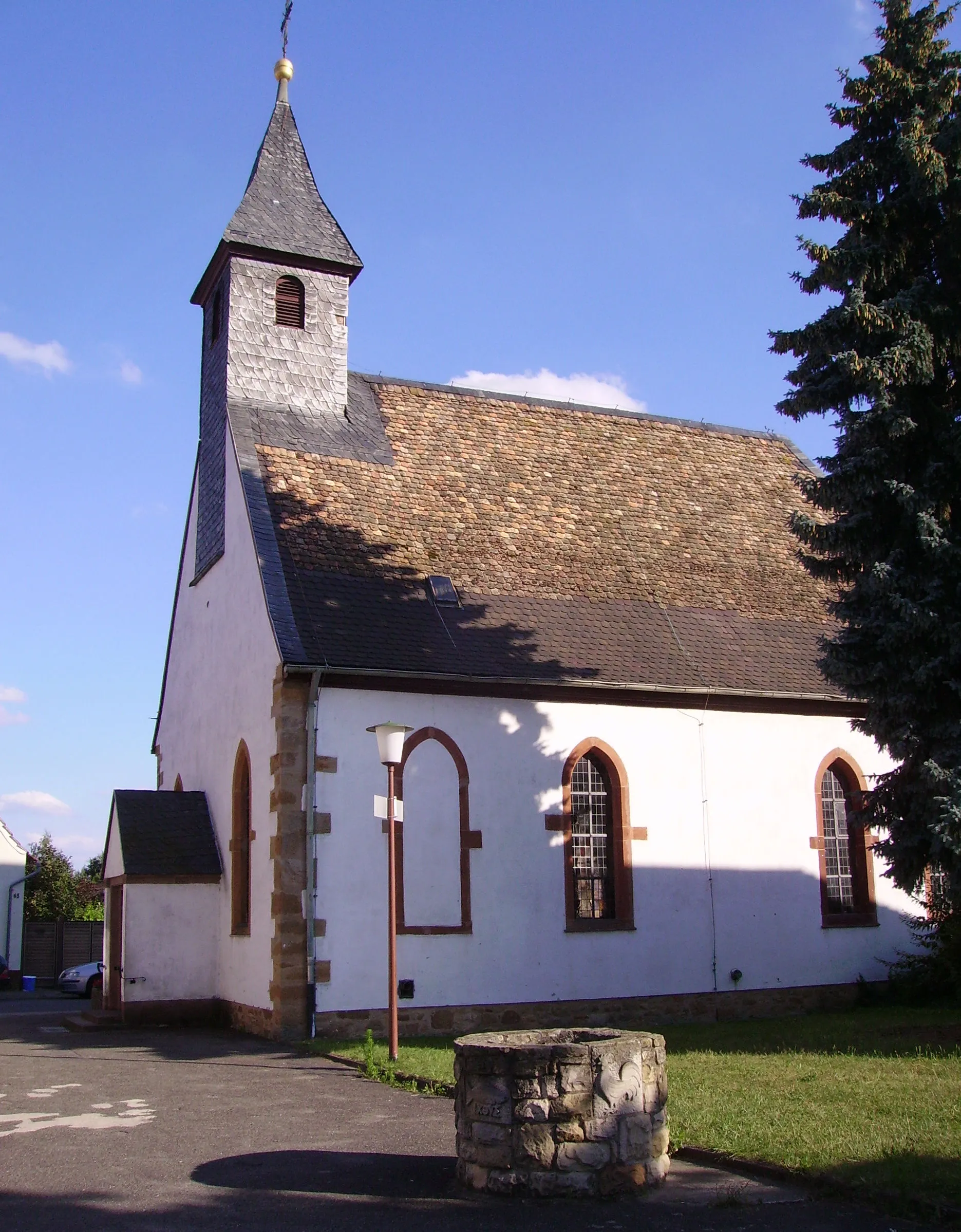
ElmsteinVillageElmstein is a small town nestled in the Palatinate Forest, offering a peaceful retreat for nature lovers. Enjoy the tranquility as you pass through this scenic village.
58 km
58 km
Burgruine FrankensteinCastleBurgruine Frankenstein is a historic castle ruin located on a hill overlooking the Rhine Valley. Marvel at the impressive ruins and enjoy the stunning views.
66 km
66 km
Eckberg414 mPeakEckberg is a hill located near Bad Dürkheim. Enjoy the challenging climb and admire the panoramic views from the top.
75 km
75 km
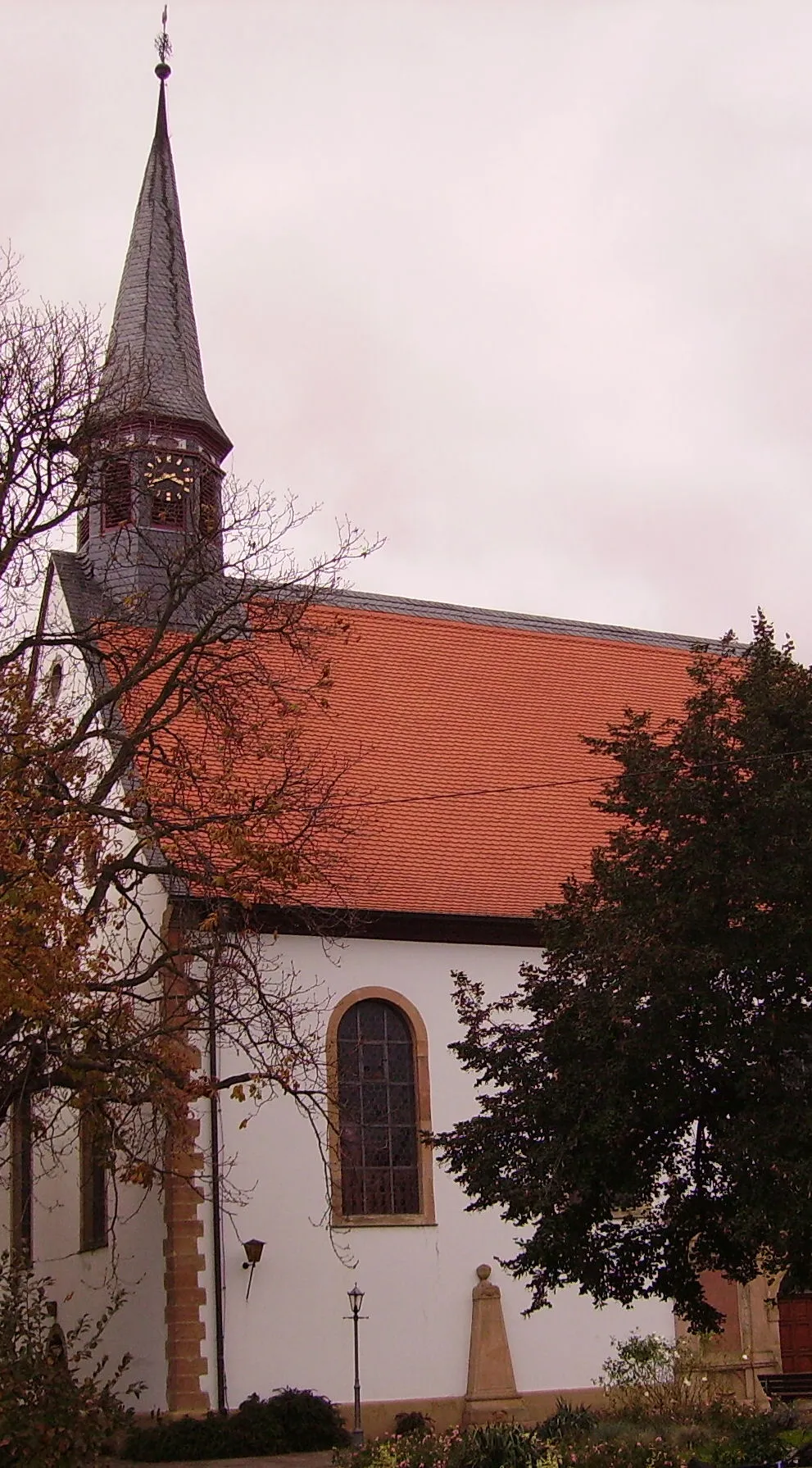
Bad DürkheimTownBad Dürkheim is famous for its wine festivals and wellness offerings. Visit one of the many wine bars or relaxation spas in the town center.
77 km
77 km
BergfriedViewpointBergfried is a small village surrounded by rolling hills and vineyards. Take a moment to relax and enjoy the idyllic countryside.
85 km
85 km
MeckenheimVillageMeckenheim is known for its charming old town and historic buildings. Take a leisurely stroll through the town and admire its architectural beauty.
91 km
91 km
Finish: Böhl-Iggelheim Village centerBöhl-Iggelheim: Tranquil Routes amid Vineyard Vistas
Cycling routes from Bohl-Iggelheim:
Speyer Discovery: Exploring History and Nature by Road The Kalmit Climbs: A Challenging Road Route from Böhl-Iggelheim Haßloch to Bad Dürkheim Road Cycling Route Böhl-Iggelheim to Speyer Cycling Route Böhl-Iggelheim to Fußgönheim Gravel Route Mutterstadt to Speyer Gravel Route Exploring Vineyard Gravel Roads: Böhl-Iggelheim to Ruppertsberg Gravel Adventure: Discovering the Surrounding Towns from Böhl-Iggelheim Speyer and Schwegenheim Gravel Loop: History and Countryside Neuhofen to Iggelheim Cycling Route
Cycling routes nearby: