Salweidenkopf and Ritterstein 178 Gravel Loop
A gravel cycling route starting from Otterberg
Embark on a gravel loop featuring Salweidenkopf and Ritterstein 178
Map
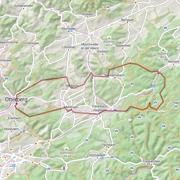
This gravel loop near Otterberg covers a distance of 47 km, incorporating an ascent of 650 meters. It offers intermediate-level difficulty, making it suitable for well-trained amateur cyclists. The journey showcases the beautiful Salweidenkopf, which boasts scenic views, as well as the historical Ritterstein 178 "Buchelbrunnen." Enjoy the tranquility of the route and discover hidden gems along the way.
gravel
47 km
650 m
Tough
Route profile
Highlights on the route
0 km
0 km
Start: Otterberg City centerOtterberg: Scenic cycling in Otterberg's wine country
Otterberg, situated in Rheinhessen-Pfalz, Germany, offers a varied cycling experience. The locality features both flat terrain for easy rides and hilly sections for more challenging routes. The area is known for its vineyards and picturesque landscapes, providing a visually appealing backdrop for cyclists. There are no famous cycling spots or well-known climbs in close proximity to Otterberg, but the town's cycling-friendly atmosphere and beautiful surroundings make it a worthwhile destination for road and gravel cyclists.0 km
0 km
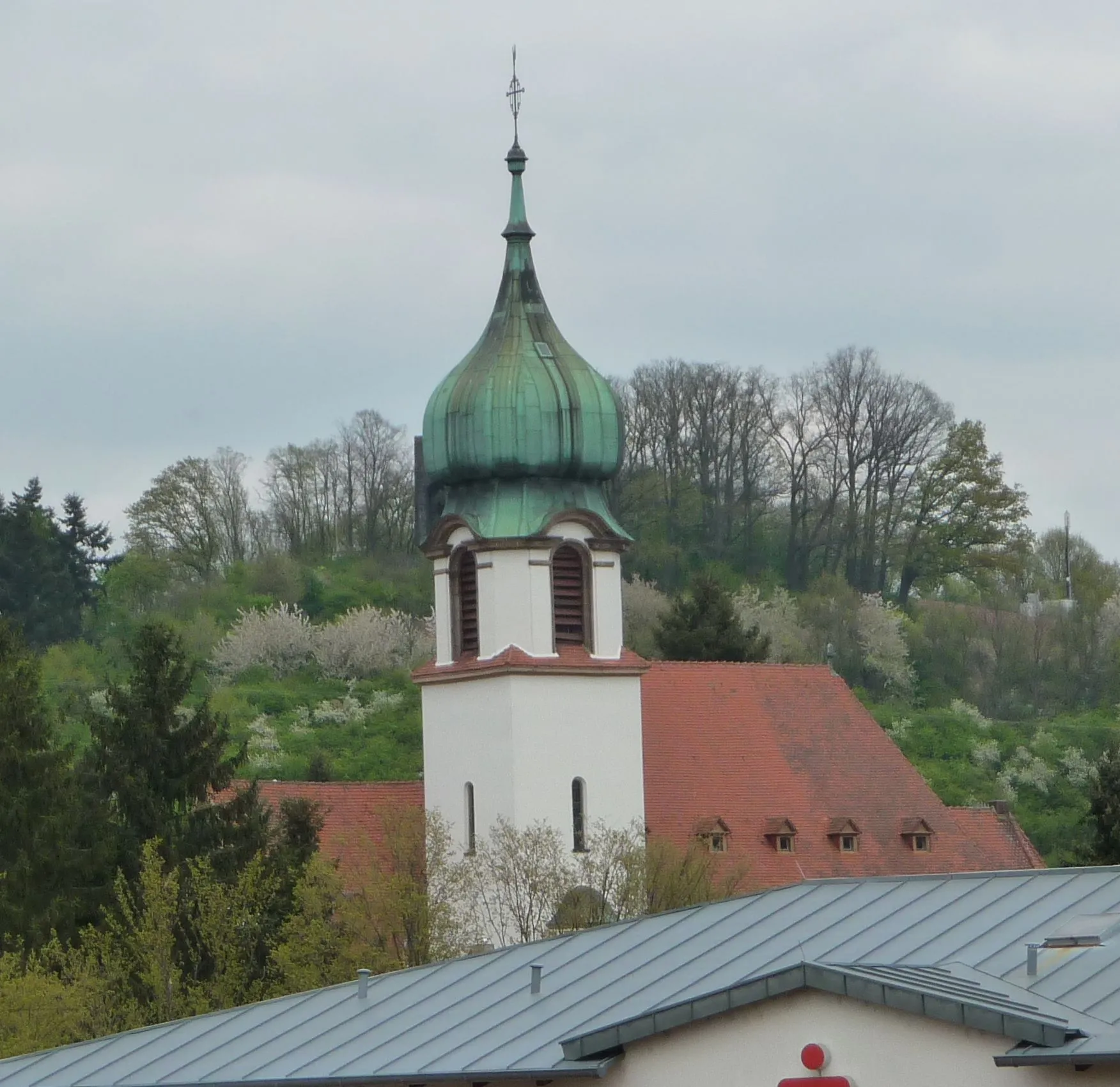
OtterbergTownOtterberg, the starting and ending point, beckons with its impressive Benedictine Abbey, an architectural gem. Take some time to appreciate its grandeur.
18 km
18 km
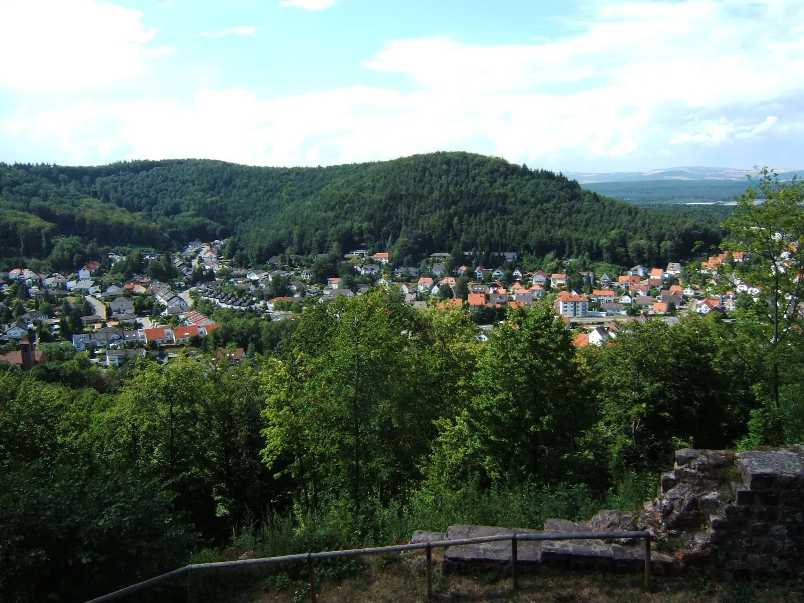
Salweidenkopf353 mPeakSalweidenkopf treats cyclists to sweeping views from its summit. Marvel at the picturesque landscapes unfolding before your eyes.
26 km
26 km
Hohe Bühl444 mPeakHohe Bühl stands as a challenging yet achievable climb, rewarding riders with beautiful vistas throughout their journey.
32 km
32 km
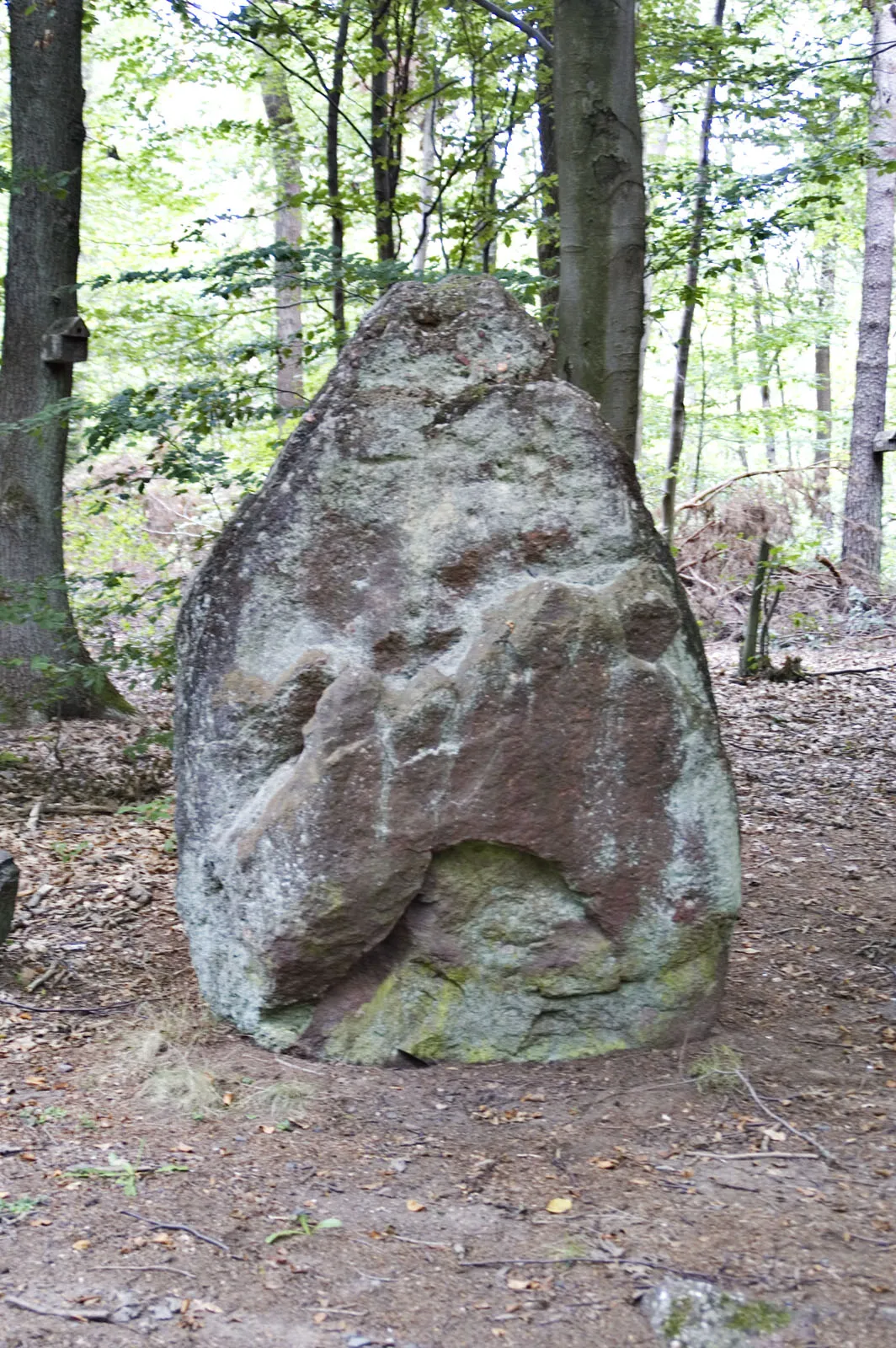
Ritterstein 178 "Buchelbrunnen"AttractionRitterstein 178 "Buchelbrunnen" hides fascinating stories within its historical meaning. Take a moment to appreciate the richness of this cultural monument.
39 km
39 km
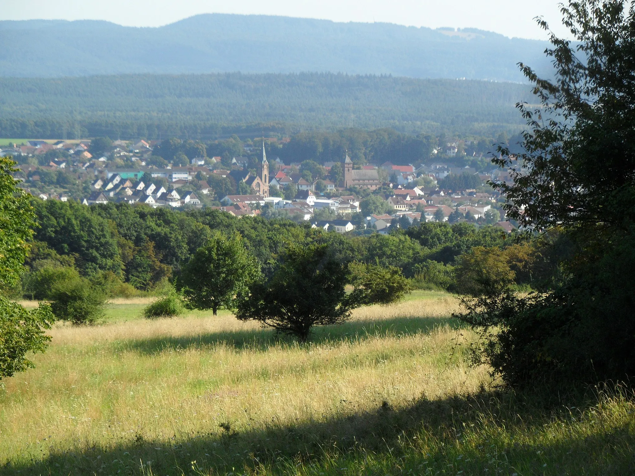
MehlingenVillageMehlingen provides a tranquil and picturesque setting for a refreshment stop or a moment to rest and recharge.
47 km
47 km
Finish: Otterberg City centerOtterberg: Scenic cycling in Otterberg's wine country
Cycling routes from Otterberg:
Schneckenhausen and Heiligenmoschel Gravel Ride Hohenecken Castle and Unterhammer Gravel Adventure Hillside Adventure from Otterberg to Eisenberg Salweidenkopf and Ritterstein 178 Gravel Loop Johanniskreuz and Eschkopf Gravel Challenge Otterberg and Beyond Road Adventure to Lauterecken Gravel Adventure to Frankenstein Scenic Ride to Waldleiningen Countryside Adventure to Landstuhl
Cycling routes nearby: