Scenic Ride to Waldleiningen
A road cycling route starting from Otterberg
Take a scenic ride from Otterberg to Waldleiningen and immerse yourself in picturesque landscapes.
Map
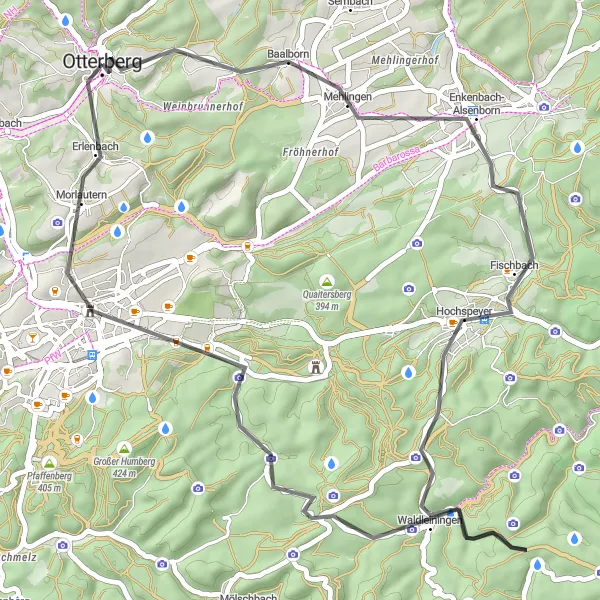
Experience the beauty of the Rheinhessen-Pfalz region on this scenic road cycling route from Otterberg to Waldleiningen. Discover the charming towns and rolling hills while testing your limits with a challenging ascent. With a distance of 50 km and there are several highlights along the way, this route is perfect for avid cyclists looking for a rewarding, nature-filled adventure.
road
50 km
781 m
Tough
Route profile
Highlights on the route
0 km
0 km
Start: Otterberg City centerOtterberg: Scenic cycling in Otterberg's wine country
Otterberg, situated in Rheinhessen-Pfalz, Germany, offers a varied cycling experience. The locality features both flat terrain for easy rides and hilly sections for more challenging routes. The area is known for its vineyards and picturesque landscapes, providing a visually appealing backdrop for cyclists. There are no famous cycling spots or well-known climbs in close proximity to Otterberg, but the town's cycling-friendly atmosphere and beautiful surroundings make it a worthwhile destination for road and gravel cyclists.11 km
11 km
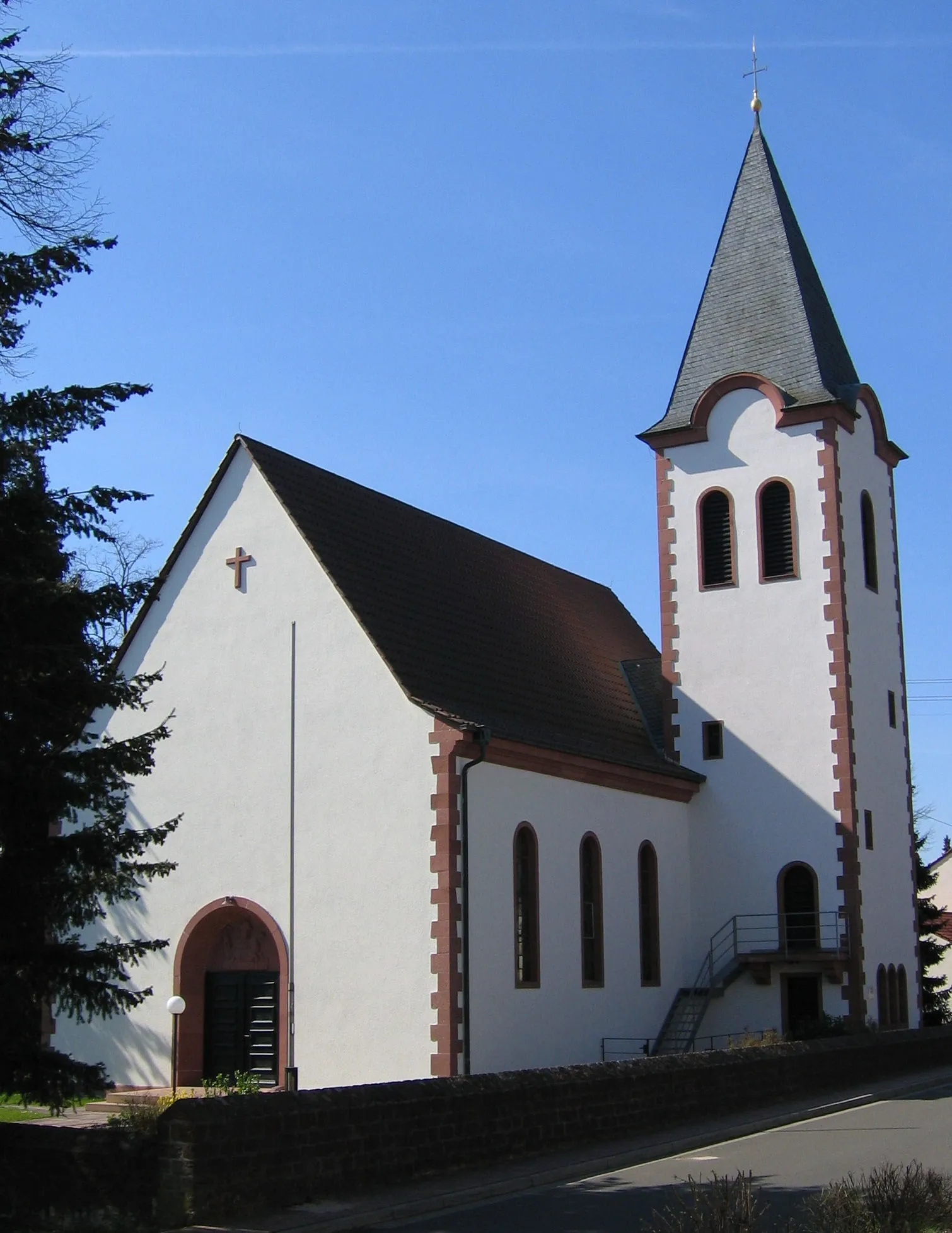
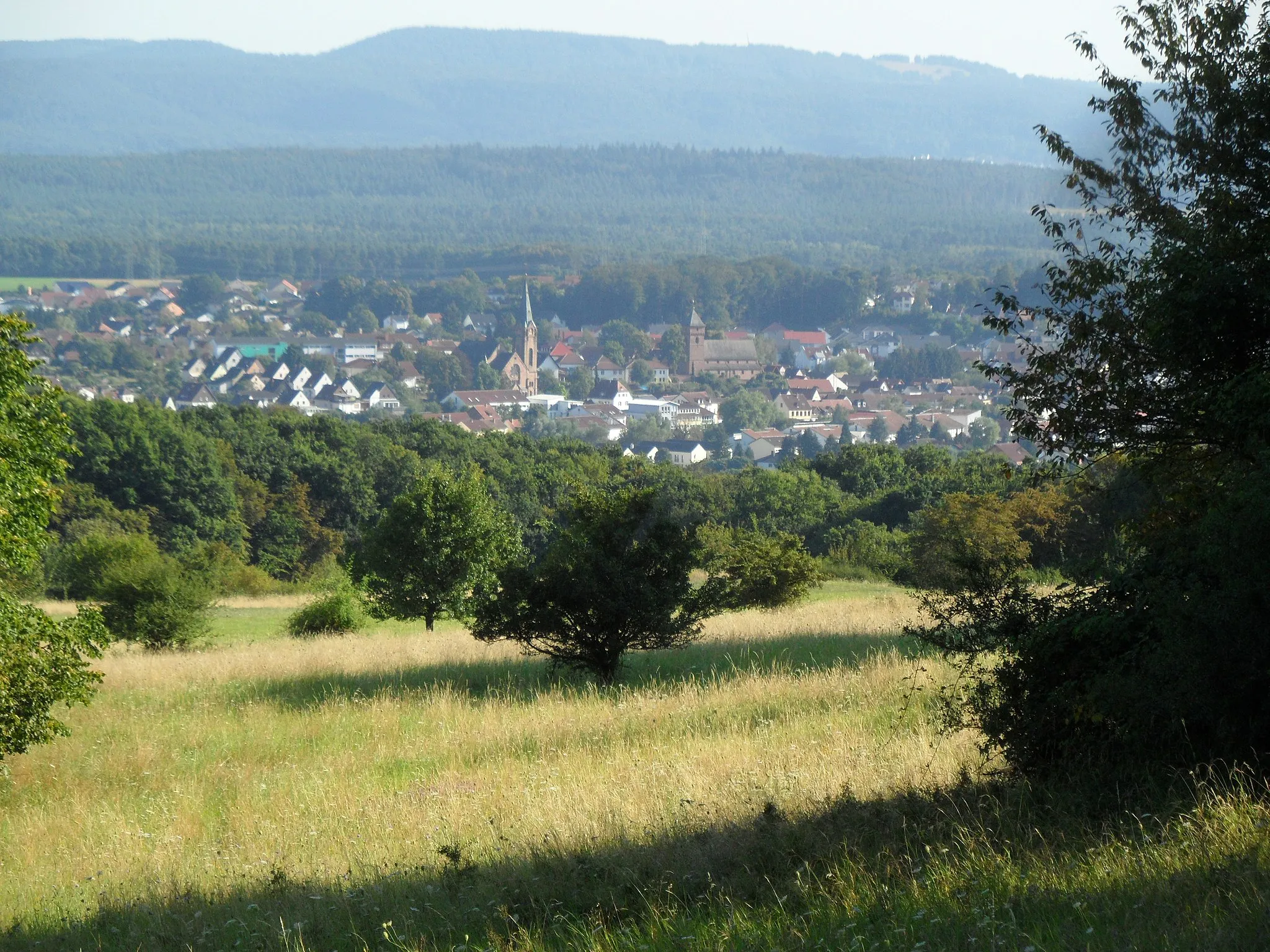
Enkenbach-AlsenbornVillageEnkenbach-Alsenborn offers a peaceful atmosphere and a picturesque landscape, perfect for a leisurely stopover.
18 km
18 km
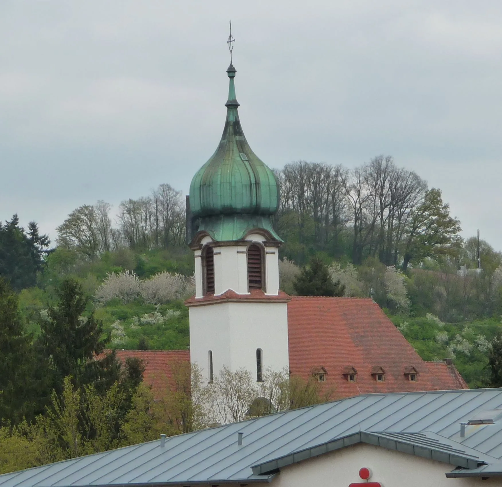
HochspeyerVillageHochspeyer rewards visitors with its beautiful panoramic views and tranquil ambiance.
30 km
30 km
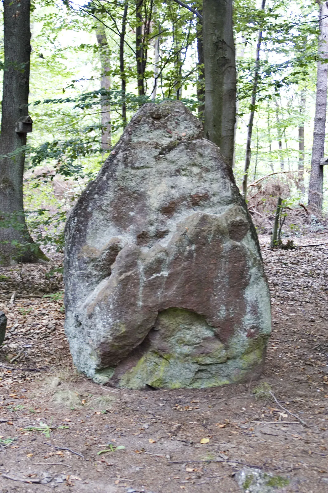
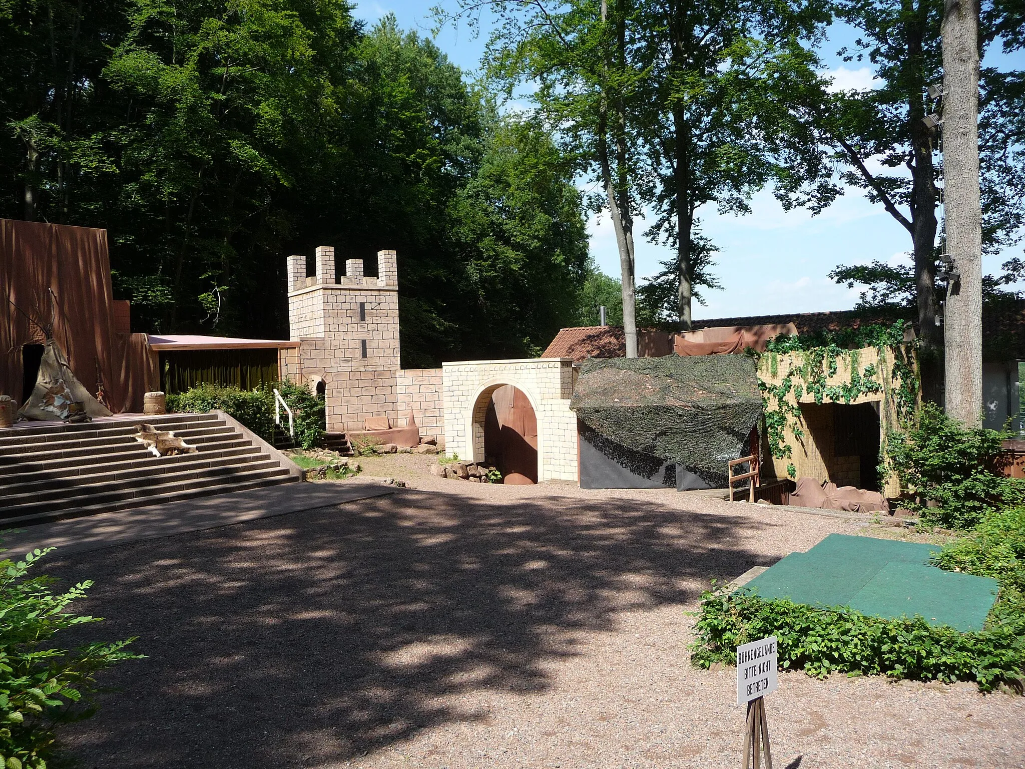
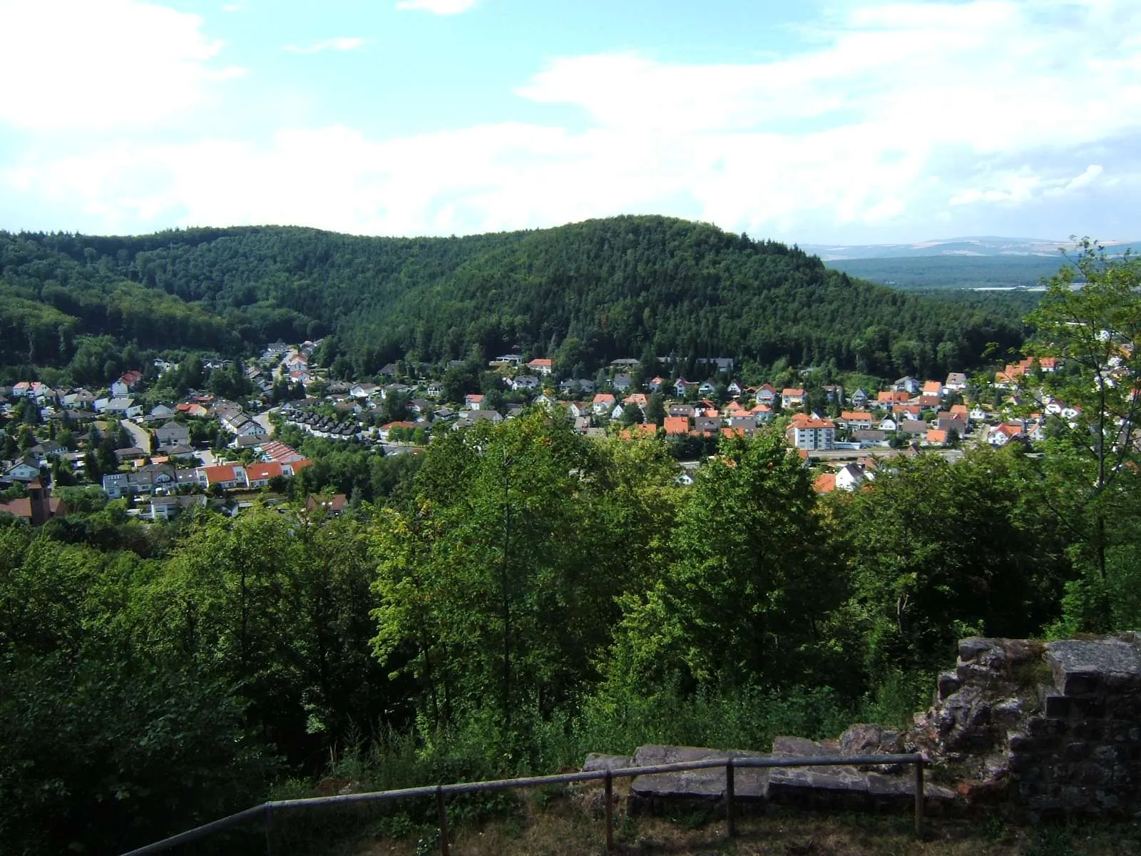
WaldleiningenVillageWaldleiningen boasts an array of historic buildings and is surrounded by stunning natural beauty.
43 km
43 km
KaiserslauternCityAs you approach Kaiserslautern, take time to explore the town's vibrant atmosphere and rich history.
45 km
45 km
SchlachtenturmViewpointSchlachtenturm, also known as the Battle Tower, offers breathtaking views of the surrounding landscapes.
50 km
50 km
Finish: Otterberg City centerOtterberg: Scenic cycling in Otterberg's wine country
Cycling routes from Otterberg:
Schneckenhausen and Heiligenmoschel Gravel Ride Hohenecken Castle and Unterhammer Gravel Adventure Hillside Adventure from Otterberg to Eisenberg Salweidenkopf and Ritterstein 178 Gravel Loop Johanniskreuz and Eschkopf Gravel Challenge Otterberg and Beyond Road Adventure to Lauterecken Gravel Adventure to Frankenstein Scenic Ride to Waldleiningen Countryside Adventure to Landstuhl
Cycling routes nearby: