The Saar Canter
A gravel cycling route starting from Bexbach
A scenic gravel route through the Saarland countryside.
Map
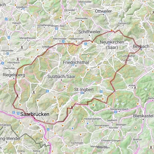
Embark on a picturesque journey through the Saarland countryside on this gravel route. With a total ascent of 1344m and a distance of 74km, The Saar Canter offers a challenging yet rewarding adventure for gravel enthusiasts. Along the way, you'll encounter highlights such as Kahlenberg, offering breathtaking panoramic views over the region, and the Saarbrücker Schloss, a beautiful castle overlooking the city. With a difficulty rating of 3 and an epicness rating of 4, this route is ideal for experienced gravel riders seeking a memorable experience.
gravel
74 km
1344 m
Tough
Route profile
Highlights on the route
0 km
0 km
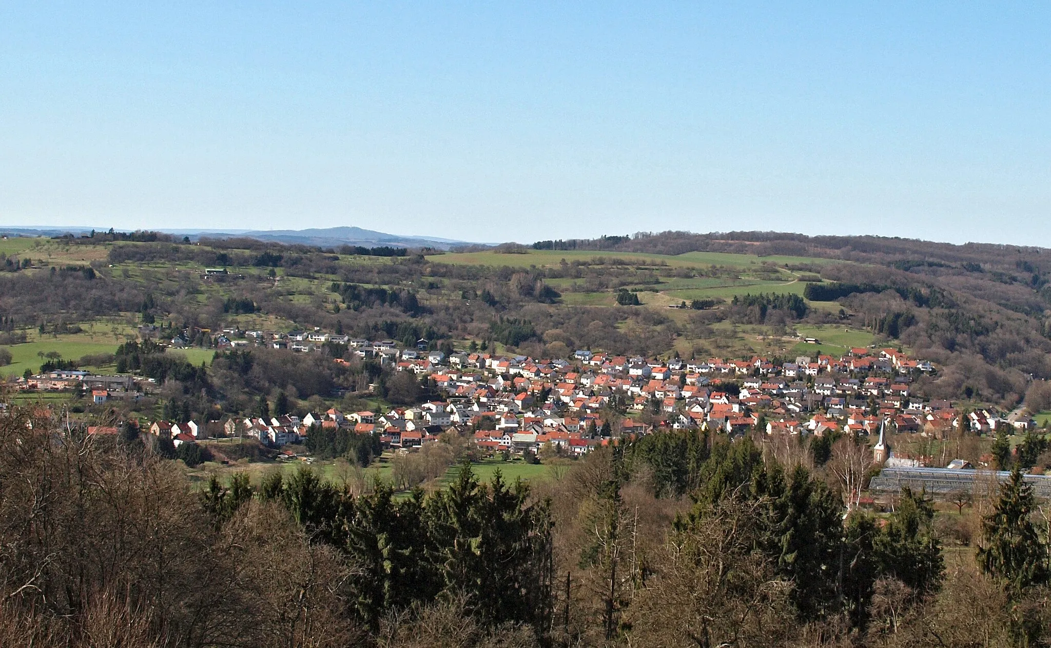
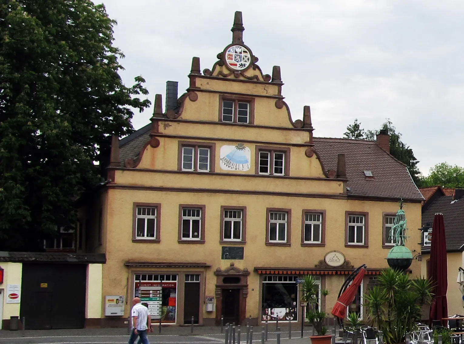
Start: Bexbach City centerBexbach: Tranquil rides through the scenic Saarland countryside
Bexbach, located in the Saarland region of Germany, provides moderate cycling opportunities. The town offers a mix of flat and hilly terrains, making it suitable for both leisurely rides and more challenging cycling experiences. While Bexbach does not have any famous cycling-related spots or well-known climbs, cyclists can enjoy peaceful rides through the beautiful countryside of Saarland. The region's well-paved roads contribute to a pleasant biking experience.17 km
17 km
Kahlenberg371 mPeakStop by Kahlenberg for stunning panoramic views of the Saarland countryside.
29 km
29 km
Aussichtspunkt auf das SaartalViewpointAussichtspunkt auf das Saartal offers stunning vistas of the Saar Valley.
32 km
32 km
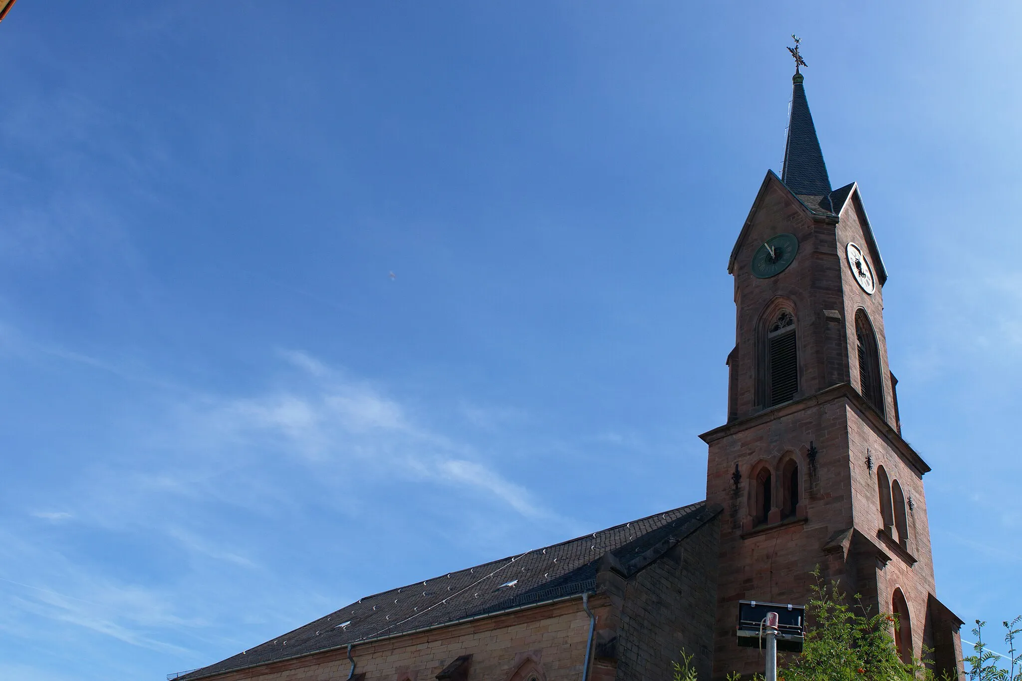
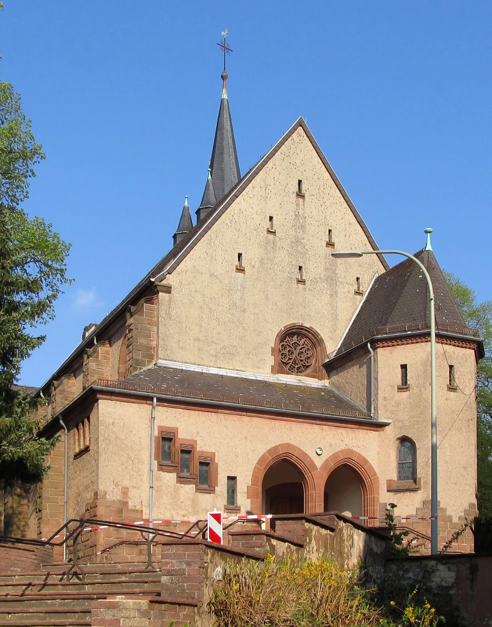
Saarbrücker SchlossCastleVisit the Saarbrücker Schloss, a beautiful castle with historical significance.
43 km
43 km
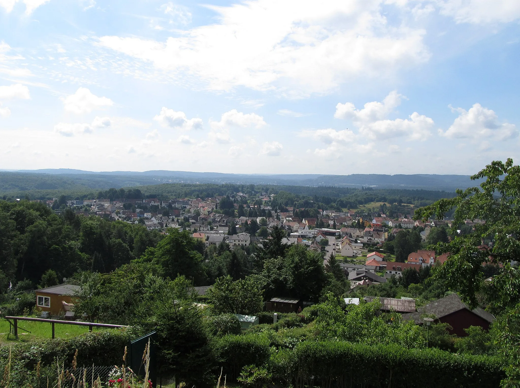
RiegelsbergTownRiegelsberg is a charming village with picturesque landscapes.
52 km
52 km
Göttelborner Höhe444 mPeakGöttelborner Höhe is a renowned cycling spot with challenging uphill sections.
69 km
69 km
Eberstein374 mPeakEberstein offers panoramic views of the surrounding area.
74 km
74 km
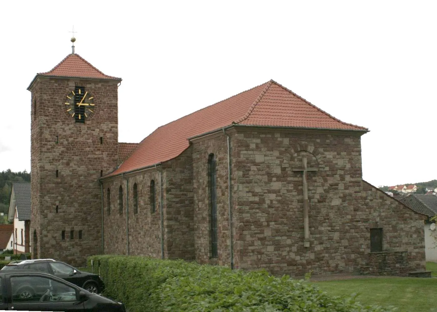
BexbachTownFinish your ride in Bexbach, a scenic town with interesting architecture and cultural attractions.
74 km
74 km
Finish: Bexbach City centerBexbach: Tranquil rides through the scenic Saarland countryside
Cycling routes from Bexbach:
Höcherberg Scenic Gravel Path Blies Valley Road Challenge Discover Kirkel: Gravel Extravaganza Gravel Adventure: Zweibrücken Loop The Saar Canter The Zweibrücken Adventure Saarpfalz Round-trip The Bexbach Challenge Blieskastel Loop St. Wendel Escape Gravel Route: Zweibrücken Adventure Road Route: Kaiserslautern Century Gravel Route: Furpach Loop
Cycling routes nearby: