The Saarland Adventure
A road cycling route starting from Freisen
An epic road cycling route through Saarland's beautiful landscapes.
Map

The Saarland Adventure is an epic road cycling route that takes riders on a 109-kilometer journey through the beautiful landscapes of Saarland. With a total ascent of 1932 meters, this route is suitable for experienced cyclists looking for a challenging and rewarding ride. Highlights along the way include Heimbach, Bismarckturm Idar-Oberstein, Gauskopf, Hubhöhe, Ulmet, Ruthweiler, and Hellerberg. These highlights offer breathtaking views and unique attractions to enhance the cycling experience. Overall, the Saarland Adventure provides a memorable cycling experience in one of Germany's most picturesque regions.
road
109 km
1932 m
Savage
Route profile
Highlights on the route
0 km
0 km
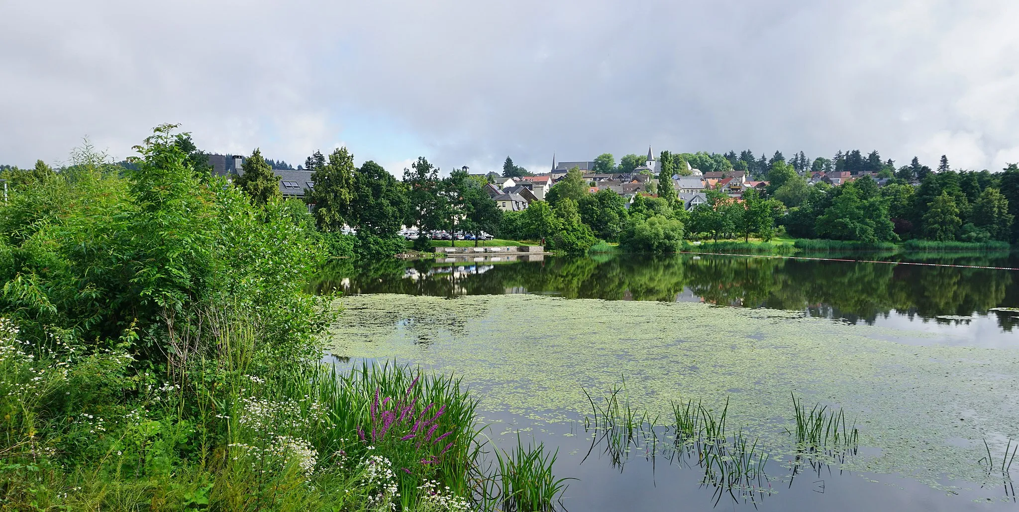
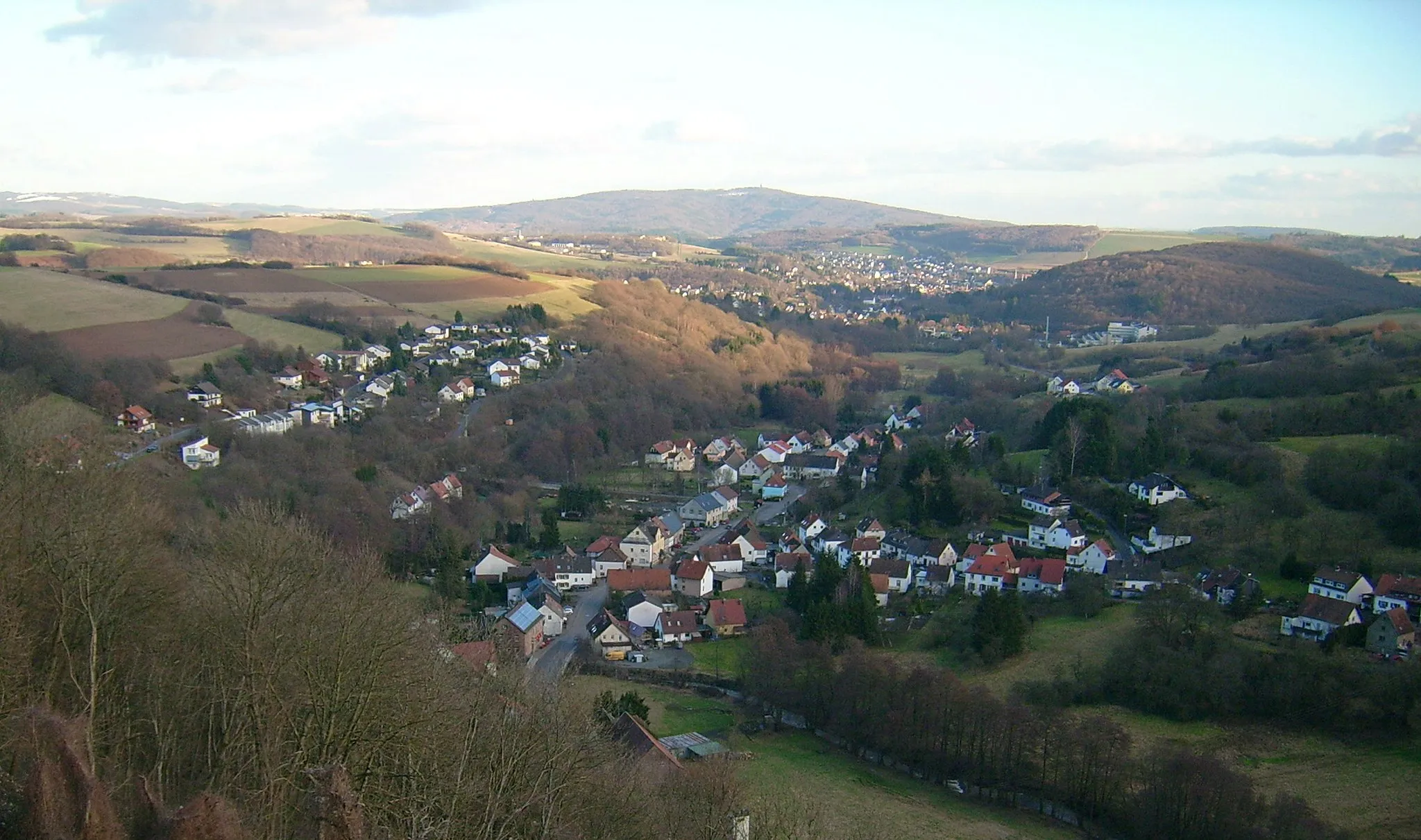
Start: Freisen Village centerFreisen: Cycling through picturesque landscapes in Saarland, Germany
Freisen in Saarland, Germany is a pleasant locality for road and gravel cyclists. The area offers a mix of flat and hilly terrains, providing diverse cycling opportunities. Cyclists can enjoy riding through the picturesque landscapes and exploring the charming villages. There are several well-known climbs nearby, such as the Bosenberg, which offers a challenging ascent and rewarding views. Freisen also has cyclist-friendly facilities such as bike rental shops and cycling tours. It is a great destination for cyclists looking for scenic routes and moderate challenges.9 km
9 km
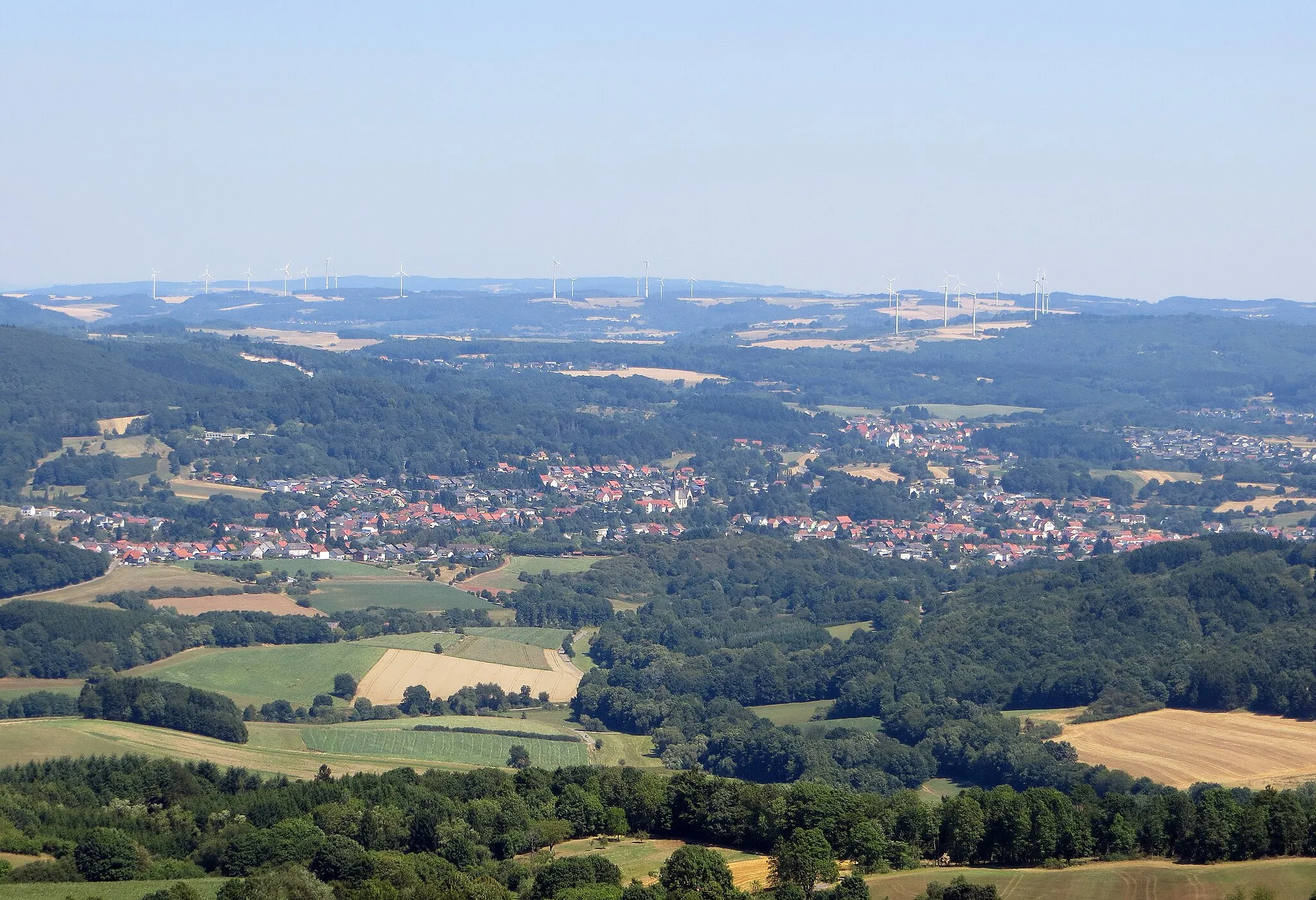
HeimbachVillageHeimbach is a charming village with historic buildings and lovely nature trails.
31 km
31 km
Bismarckturm Idar-ObersteinViewpointBismarckturm Idar-Oberstein is a historic landmark with panoramic views of the area.
55 km
55 km
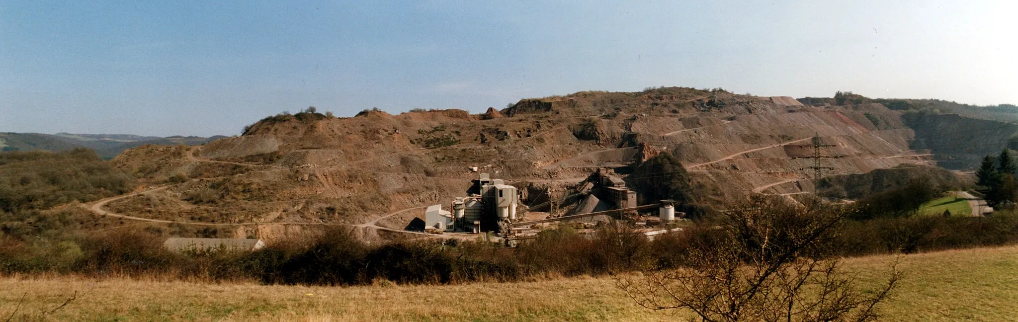
Gauskopf386 mPeakGauskopf is known for its challenging climb and stunning views from the top.
85 km
85 km
Hubhöhe355 mPeakHubhöhe offers breathtaking panoramic views and is a popular spot for hikers.
89 km
89 km
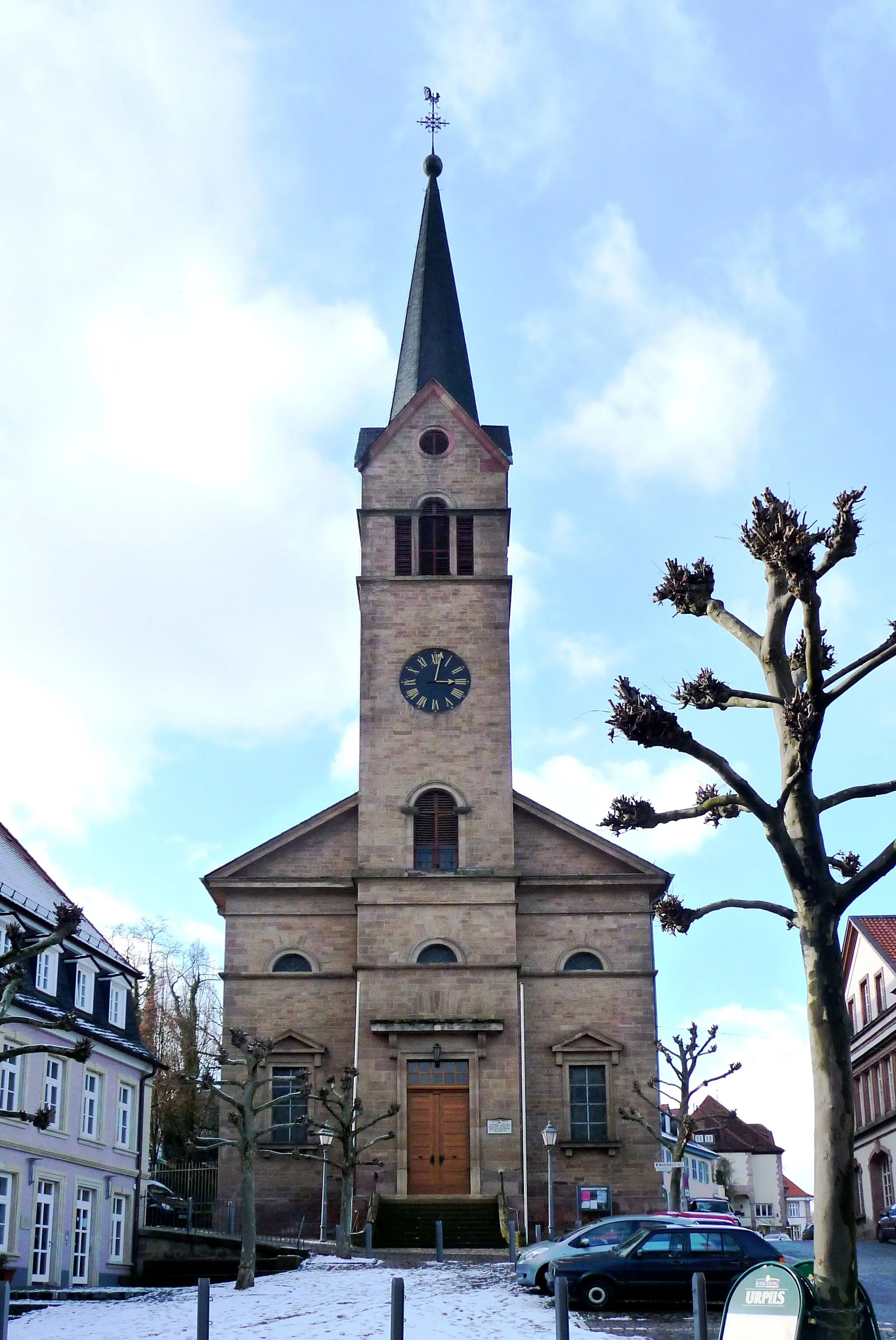
UlmetVillageUlmet features scenic bike trails and tranquil surroundings.
98 km
98 km
RuthweilerVillageRuthweiler is a charming village with traditional German architecture and streets.
106 km
106 km
Hellerberg596 mPeakHellerberg is famous for its beautiful landscapes and stunning viewpoints.
109 km
109 km
Finish: Freisen Village centerFreisen: Cycling through picturesque landscapes in Saarland, Germany
Cycling routes nearby: