Gravel Escape
A gravel cycling route starting from Langendorf
Embark on an adventurous gravel cycling escape near Langendorf
Map
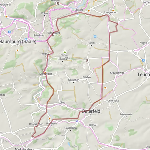
This 46 km gravel cycling route is perfect for those seeking an off-road adventure. With a total ascent of 469 m, it offers a moderate challenge for gravel enthusiasts. Highlights along the way include the atmospheric town of Osterfeld, the picturesque views from Wethau, and an exciting viewpoint. Immerse yourself in the beauty of nature and enjoy the thrill of off-road cycling.
gravel
46 km
469 m
Chill
Route profile
Highlights on the route
0 km
0 km
Start: Kößlitz-Wiedebach Village centerLangendorf: Exploring picturesque landscapes on quiet roads.
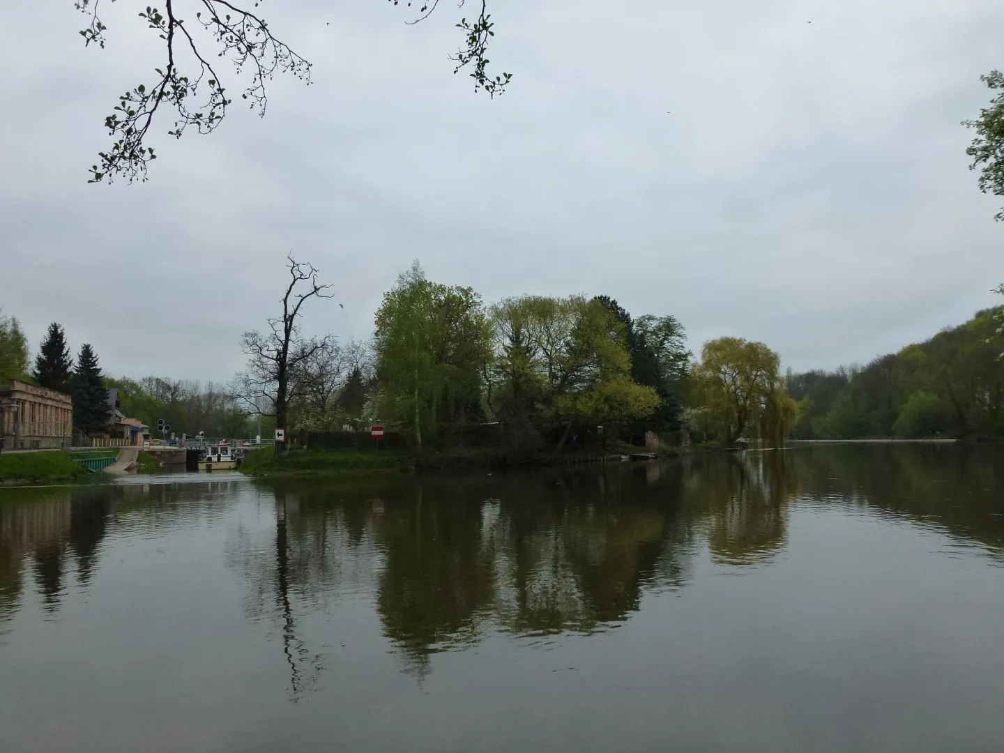
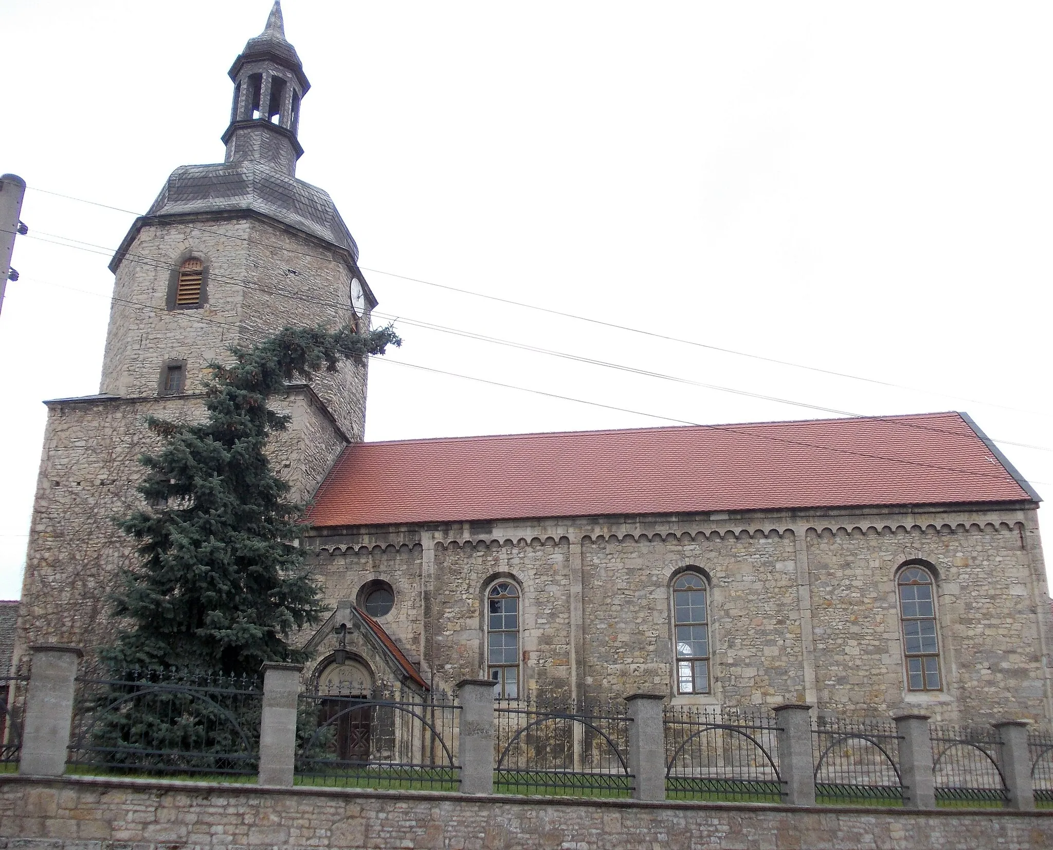
Langendorf is a small locality in Sachsen-Anhalt, Germany. From a cyclist's point of view, it offers picturesque landscapes and quiet roads perfect for road and gravel cycling. The area is known for its rolling hills and scenic views, providing a pleasant riding experience. While there are no famous cycling-related spots or well-known climbs directly in Langendorf, it serves as a great starting point for exploring the surrounding countryside. Overall, Langendorf receives a rank of 3 from a cyclist's perspective.11 km
11 km
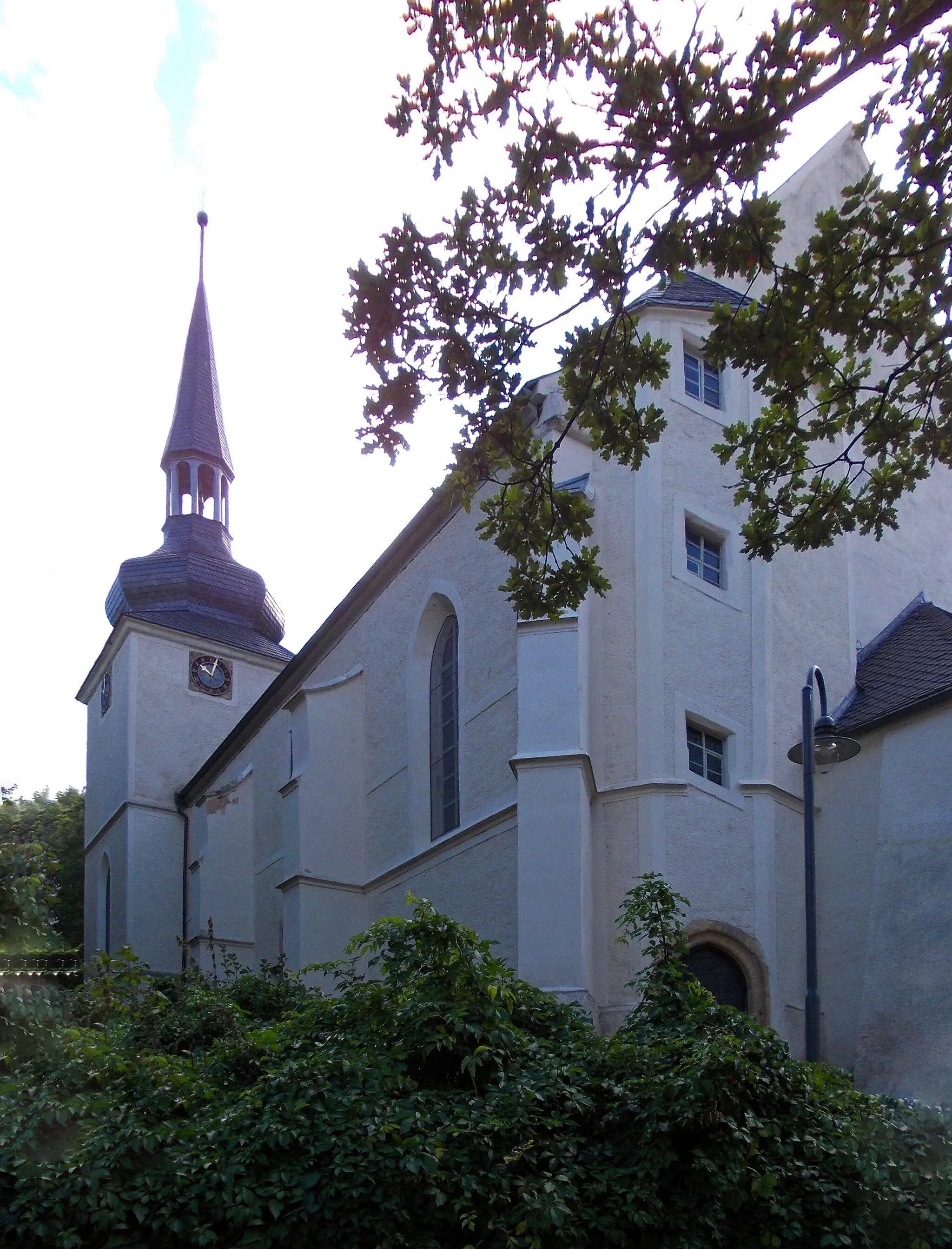
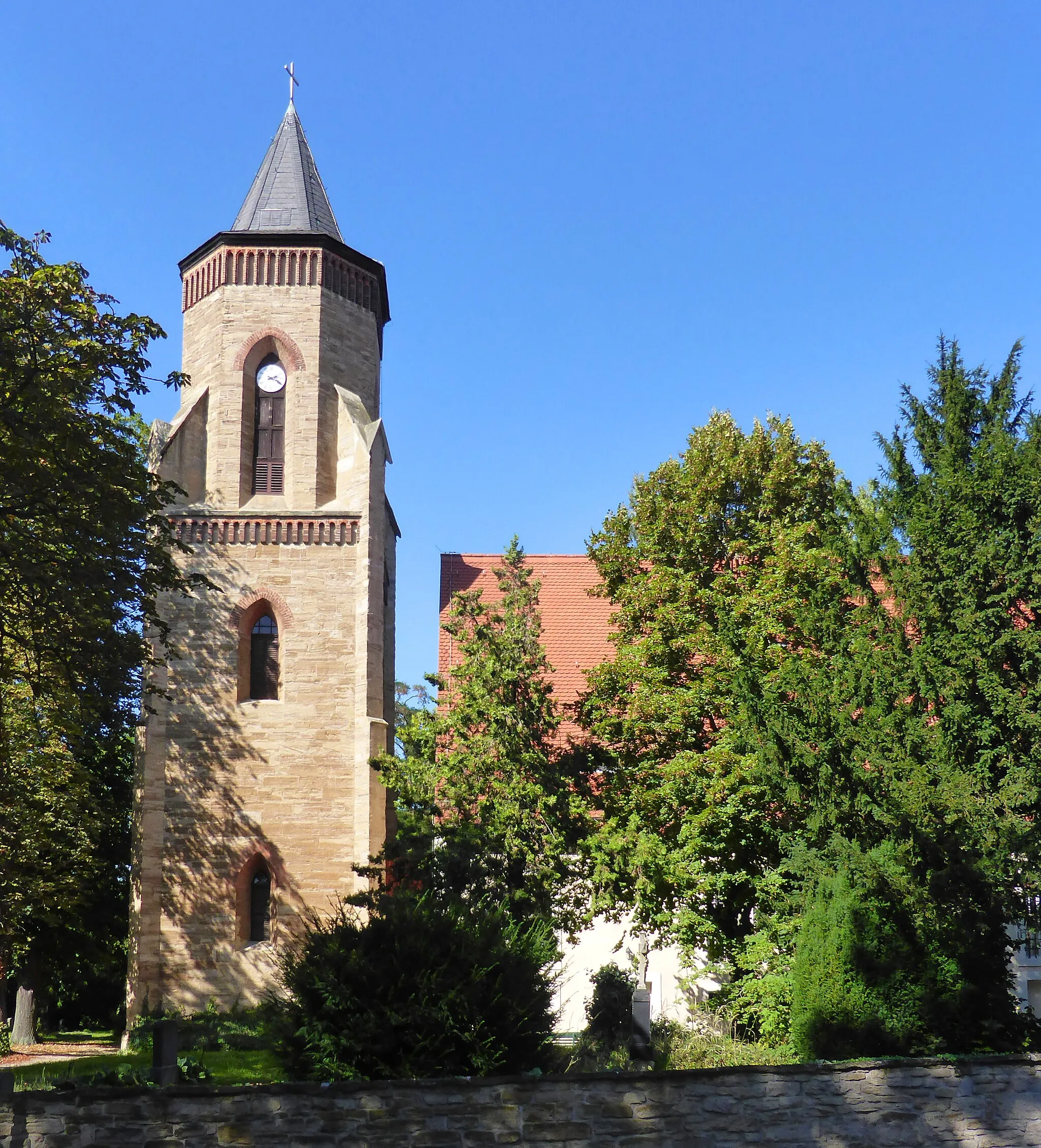
OsterfeldTownOsterfeld is a historic town with charming architecture and a relaxed atmosphere. Take a break and explore its hidden gems.
32 km
32 km
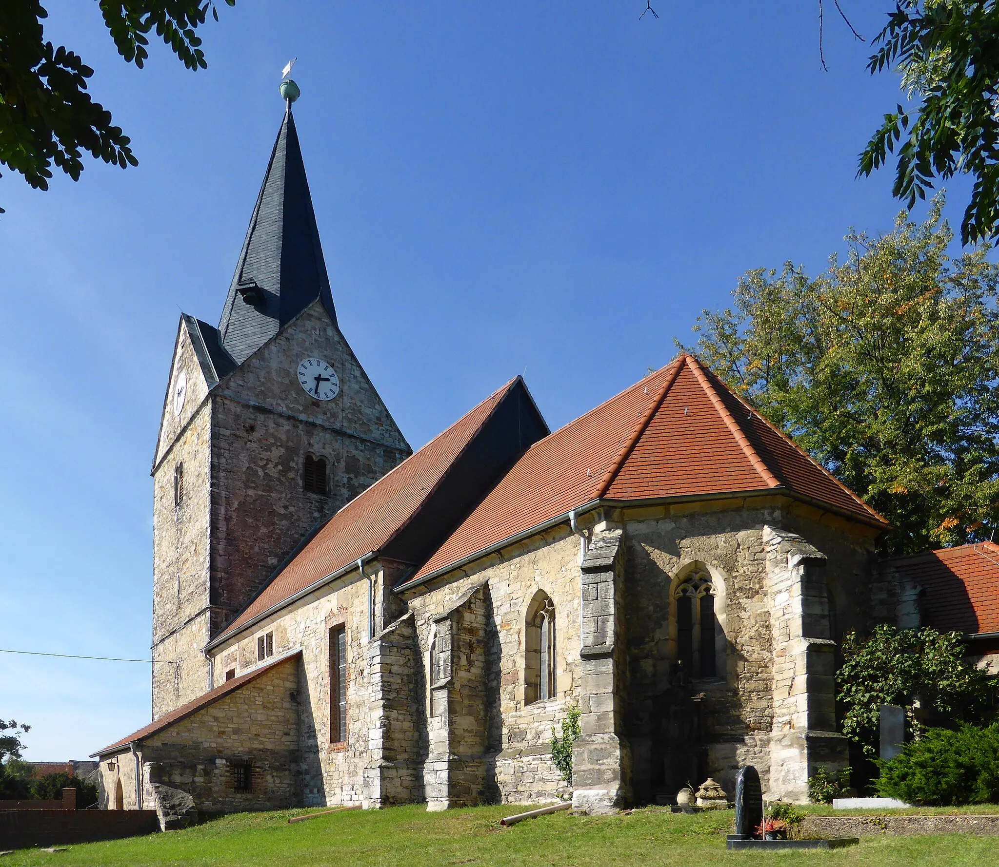
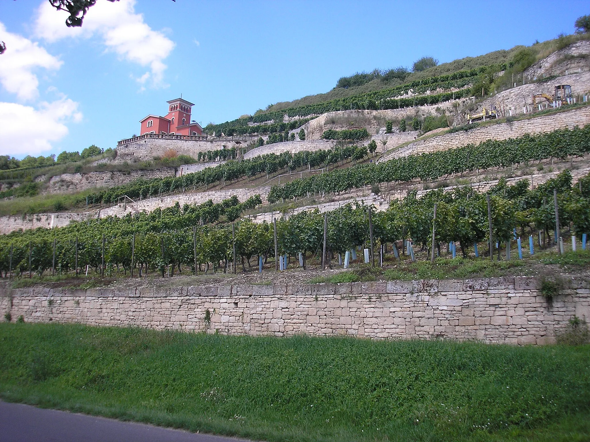
WethauVillageWethau offers breathtaking panoramic views of rolling hills and vineyards. It's an excellent spot for nature lovers and photographers.
41 km
41 km
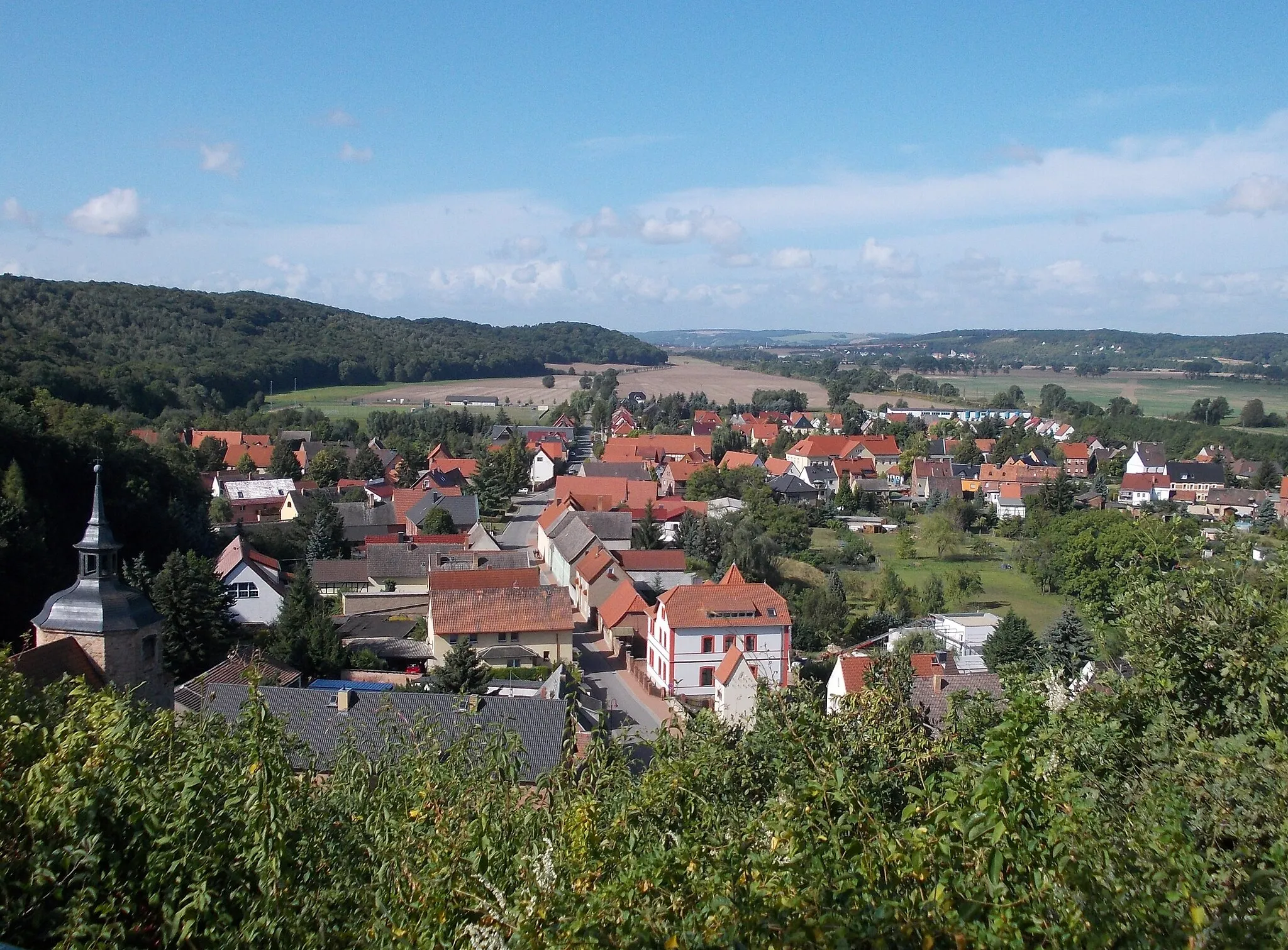
AussichtspunktViewpointThe viewpoint along the route offers mesmerizing landscapes and a sense of connection with the natural surroundings. Take a moment to appreciate the beauty of the area.
44 km
44 km
LangendorfVillageLangendorf, the starting point of the route, is a tranquil village surrounded by beauty. Experience the charm of rural life.
46 km
46 km
Finish: Kößlitz-Wiedebach Village centerLangendorf: Exploring picturesque landscapes on quiet roads.
Cycling routes from Langendorf:
Cycling routes nearby: