Kössuln to Unterkaka
A gravel cycling route starting from Langendorf
Immerse yourself in the natural beauty of Kössuln to Unterkaka
Map

This gravel route takes you from Kössuln to Unterkaka, allowing you to immerse yourself in the natural beauty of the region. With a moderate difficulty level and a total ascent of 302 meters, the route covers a distance of 53 kilometers. The epicness score is 2, indicating a pleasant cycling experience with scenic views along the way.
gravel
53 km
302 m
Chill
Route profile
Highlights on the route
0 km
0 km
Start: Kößlitz-Wiedebach Village centerLangendorf: Exploring picturesque landscapes on quiet roads.
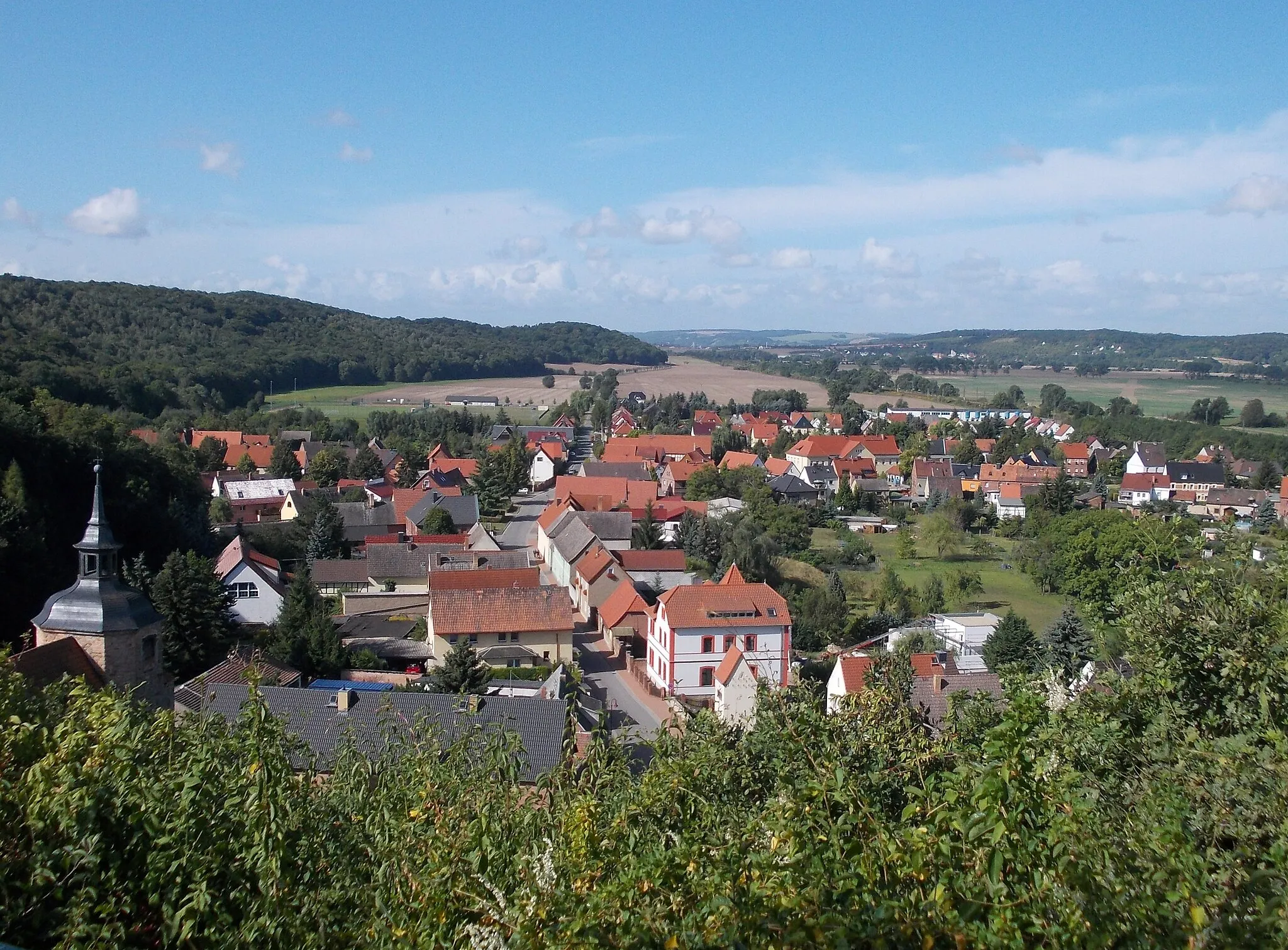
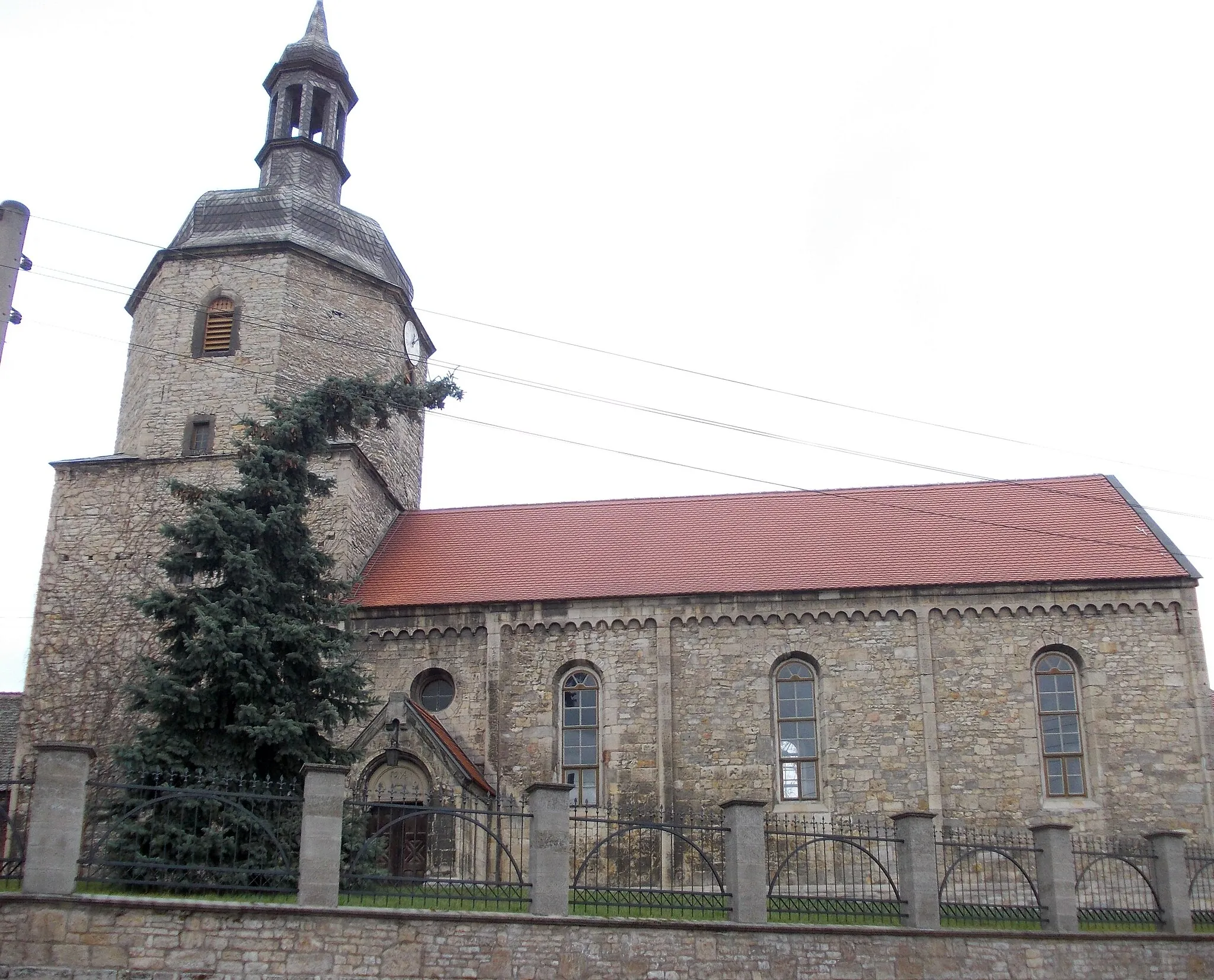
Langendorf is a small locality in Sachsen-Anhalt, Germany. From a cyclist's point of view, it offers picturesque landscapes and quiet roads perfect for road and gravel cycling. The area is known for its rolling hills and scenic views, providing a pleasant riding experience. While there are no famous cycling-related spots or well-known climbs directly in Langendorf, it serves as a great starting point for exploring the surrounding countryside. Overall, Langendorf receives a rank of 3 from a cyclist's perspective.9 km
9 km
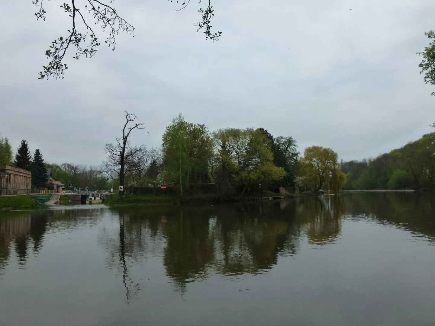
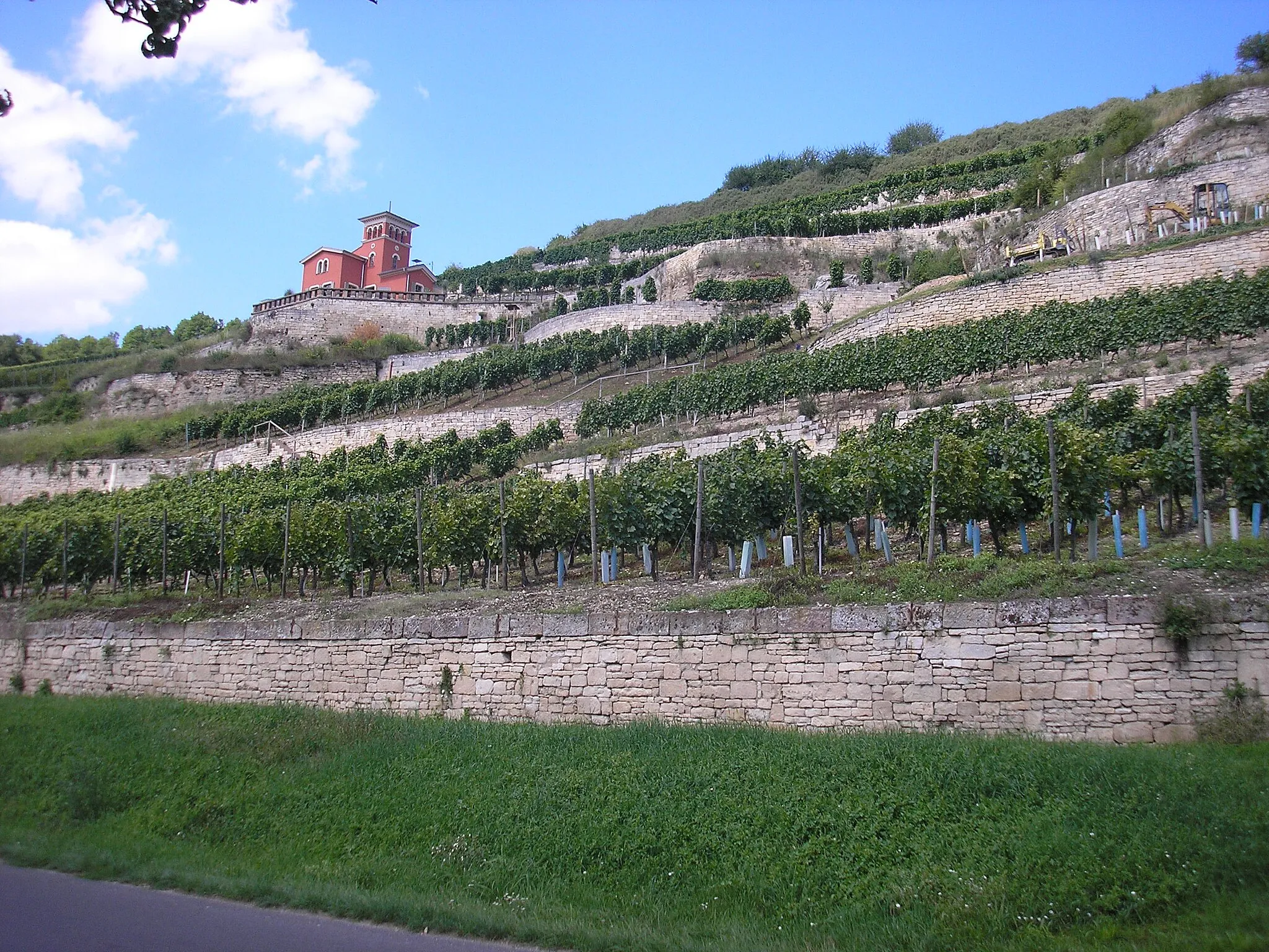
KössulnHamletAt Kössuln, take a break and enjoy the peaceful atmosphere beside Kössuln Lake.
27 km
27 km
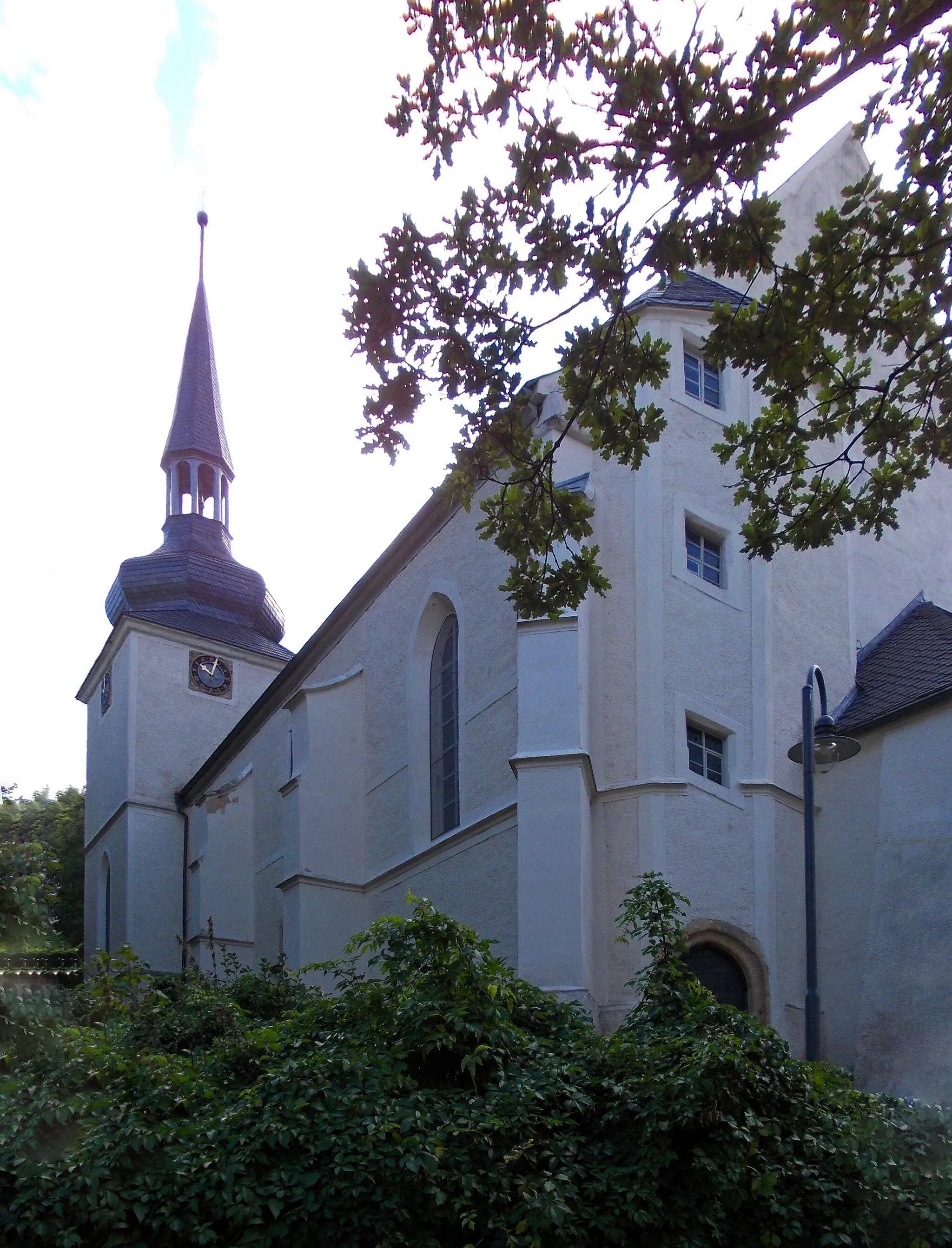
KretzschauVillagePass through Kretzschau and appreciate the tranquil beauty of Kretzschau Lake.
33 km
33 km
Schöne AussichtViewpointFrom Schöne Aussicht, take in the breathtaking views of the surrounding countryside.
40 km
40 km
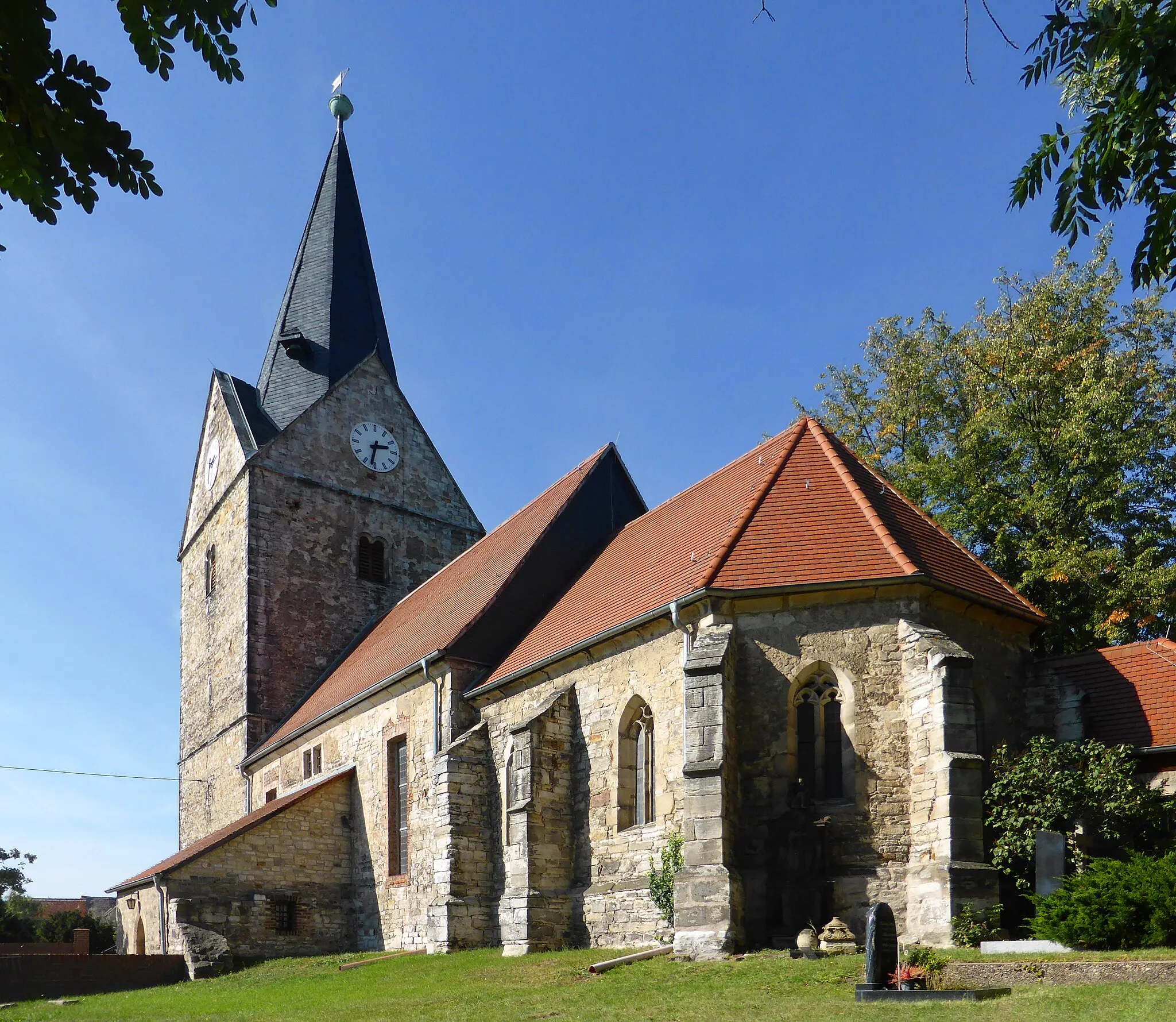
UnterkakaVillageUnterkaka is a small village known for its beautiful landscapes and peaceful ambiance.
53 km
53 km
Finish: Kößlitz-Wiedebach Village centerLangendorf: Exploring picturesque landscapes on quiet roads.
Cycling routes from Langendorf:
Cycling routes nearby: