Pouch Gravel Adventure
A gravel cycling route starting from Pouch
An exciting gravel adventure near Pouch
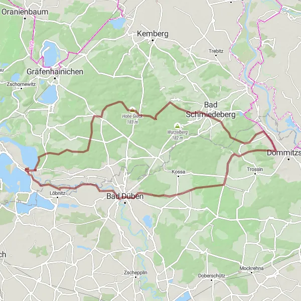
Map
Explore the beautiful gravel roads near Pouch in Sachsen-Anhalt, Germany. This route offers a mix of scenic landscapes, challenging terrain, and unique landmarks along the way. Get ready for a thrilling cycling experience in this picturesque region.
gravel
82 km
364 m
Tough
Route profile
Highlights on the route
0 km
0 km
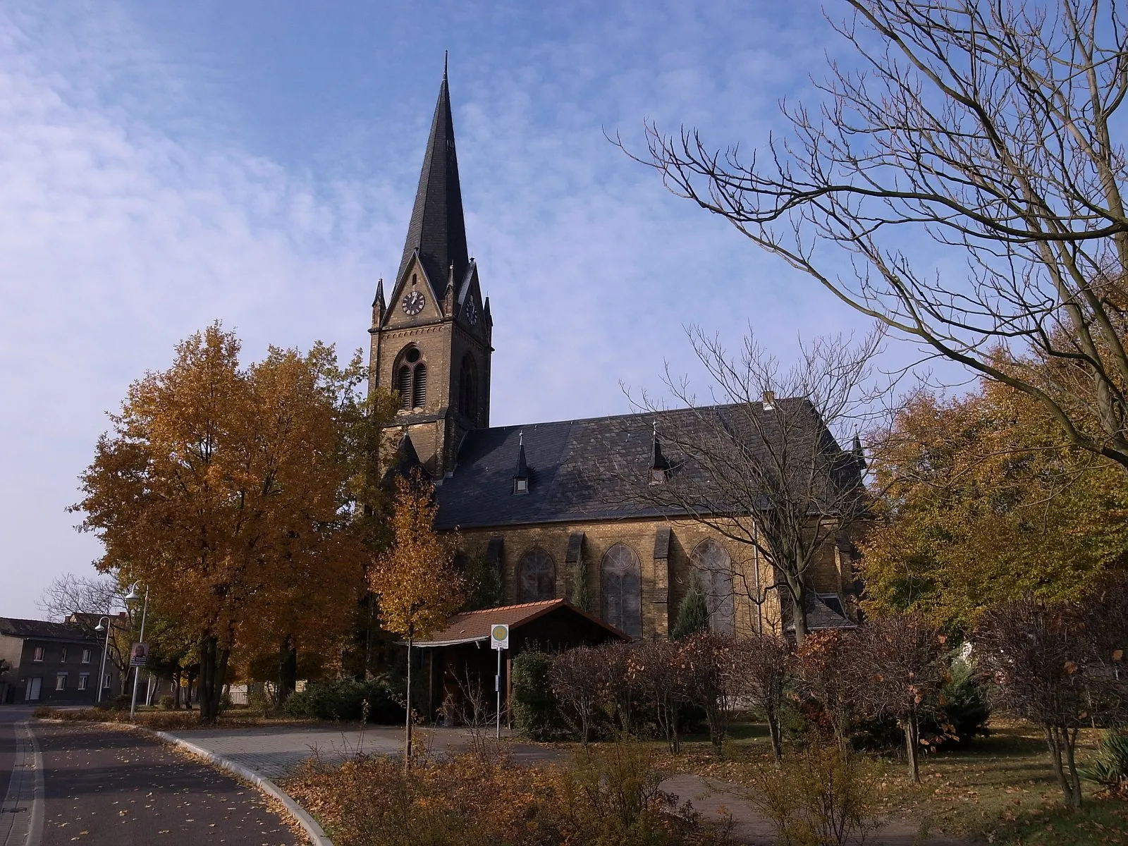
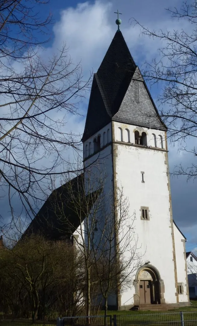
Start: Pouch Village centerPouch: Cycling through the scenic landscapes of Pouch
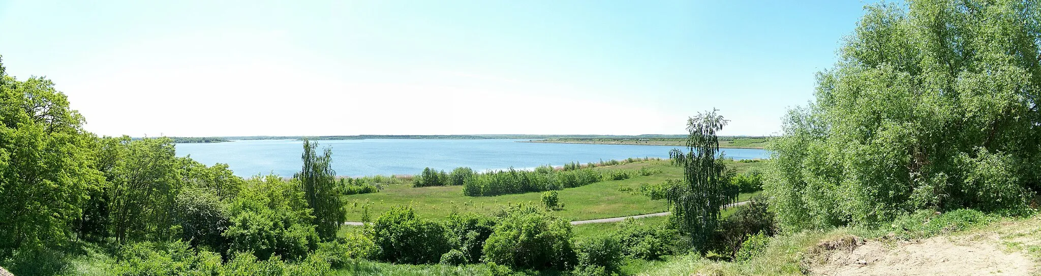
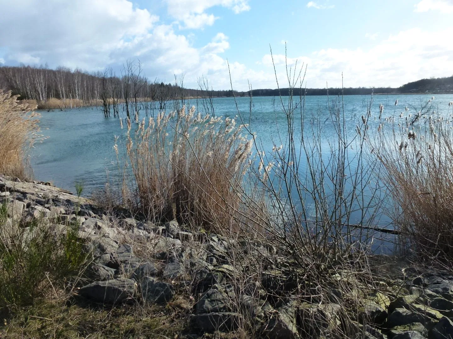
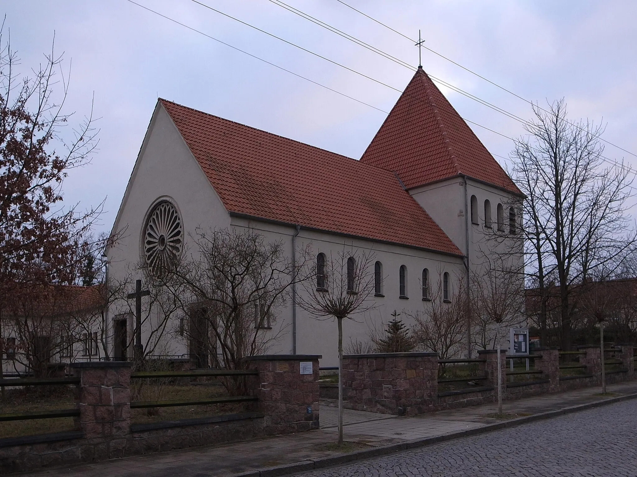
Pouch, located in Sachsen-Anhalt, Germany, offers a delightful experience for road and gravel cyclists. The locality is nestled amidst picturesque landscapes, including rolling hills and dense forests, perfect for adventurous cycling expeditions. Famous among cyclists is the nearby Muldestausee, a picturesque reservoir offering tranquil cycling routes and stunning views of the surrounding nature. Pouch itself is known for its impressive Renaissance castle, which adds a touch of history and charm to the cycling experience. Cyclists visiting Pouch can immerse themselves in its captivating natural beauty while exploring the region's cultural heritage.0 km
0 km
PouchVillageEmbark on your journey from Pouch, a charming village known for its tranquility and natural beauty.
18 km
18 km
SchladitztanneAttractionPass through Schladitztanne and appreciate the lush green forests that surround this area.
32 km
32 km
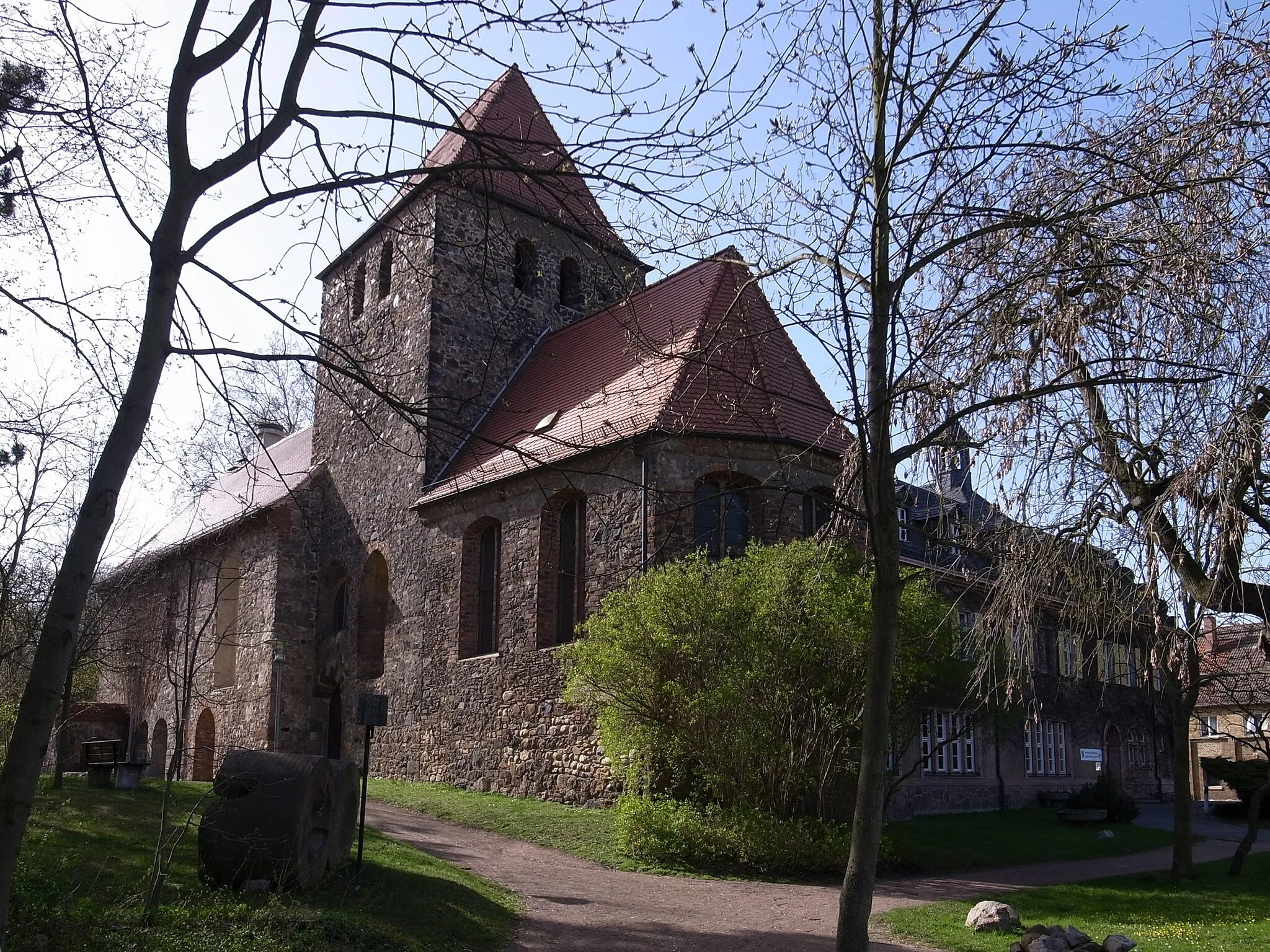
GradierwerkAttractionStop by Gradierwerk and learn about the traditional saltworks found in the region.
37 km
37 km
Schüsselberg142 mPeakClimb up Schüsselberg and enjoy panoramic views of the surrounding countryside.
53 km
53 km
FalkenbergVillageMarvel at Falkenberg, a medieval town with well-preserved architecture and rich history.
56 km
56 km
Vierenberg117 mPeakReach Vierenberg and discover the ancient castle ruins that overlook the landscape.
67 km
67 km
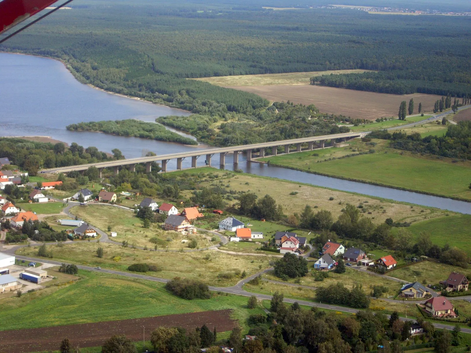
Bad DübenTownVisit the charming town of Bad Düben and take a break by the scenic riverbank.
75 km
75 km
RoitzschjoraVillagePass through Roitzschjora and admire the picturesque scenery of lakes and meadows.
82 km
82 km
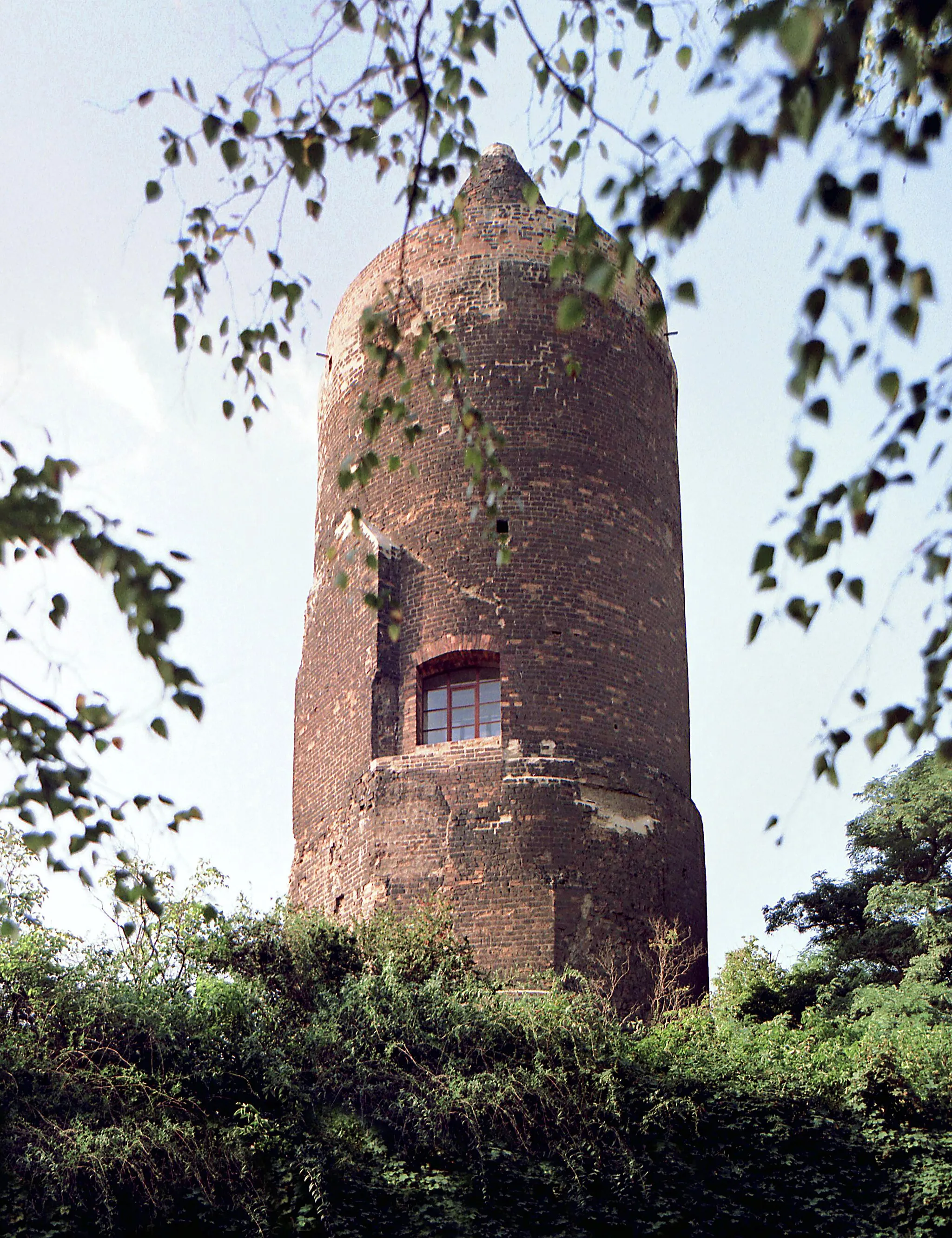
Roter TurmViewpointReach Roter Turm, a striking red brick tower that serves as a local landmark.
82 km
82 km
Finish: Pouch Village centerPouch: Cycling through the scenic landscapes of Pouch
Cycling routes nearby: