The Grand Tour
A road cycling route starting from Pouch
Embark on a challenging road cycling journey through Sachsen-Anhalt
Map

The Grand Tour is a challenging 98 km road cycling route that takes you through the diverse landscapes and historical landmarks of Sachsen-Anhalt. With a moderate level of difficulty and 154 meters of ascent, this route offers a mix of natural beauty and cultural heritage. Highlights include the iconic Roter Turm, the historical town of Sandersdorf, and the scenic Ziethe Bifurkation.
road
98 km
154 m
Tough
Route profile
Highlights on the route
0 km
0 km
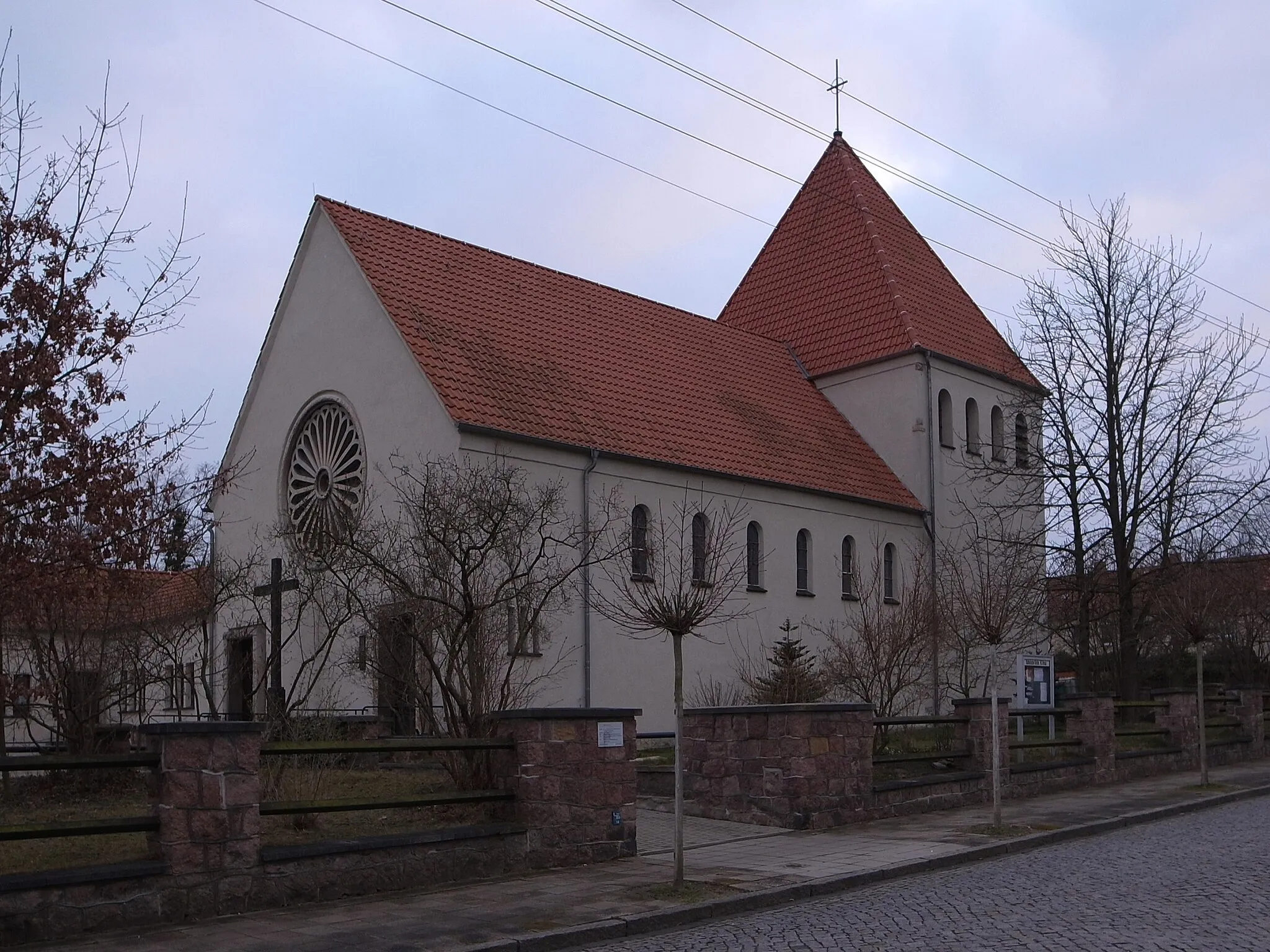
Start: Pouch Village centerPouch: Cycling through the scenic landscapes of Pouch
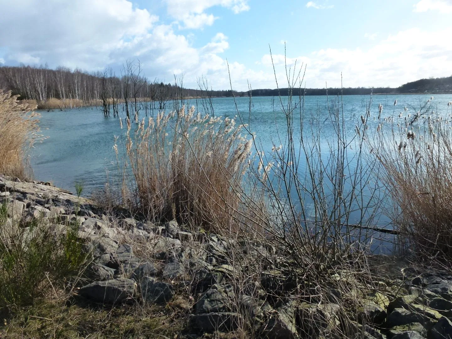
Pouch, located in Sachsen-Anhalt, Germany, offers a delightful experience for road and gravel cyclists. The locality is nestled amidst picturesque landscapes, including rolling hills and dense forests, perfect for adventurous cycling expeditions. Famous among cyclists is the nearby Muldestausee, a picturesque reservoir offering tranquil cycling routes and stunning views of the surrounding nature. Pouch itself is known for its impressive Renaissance castle, which adds a touch of history and charm to the cycling experience. Cyclists visiting Pouch can immerse themselves in its captivating natural beauty while exploring the region's cultural heritage.0 km
0 km
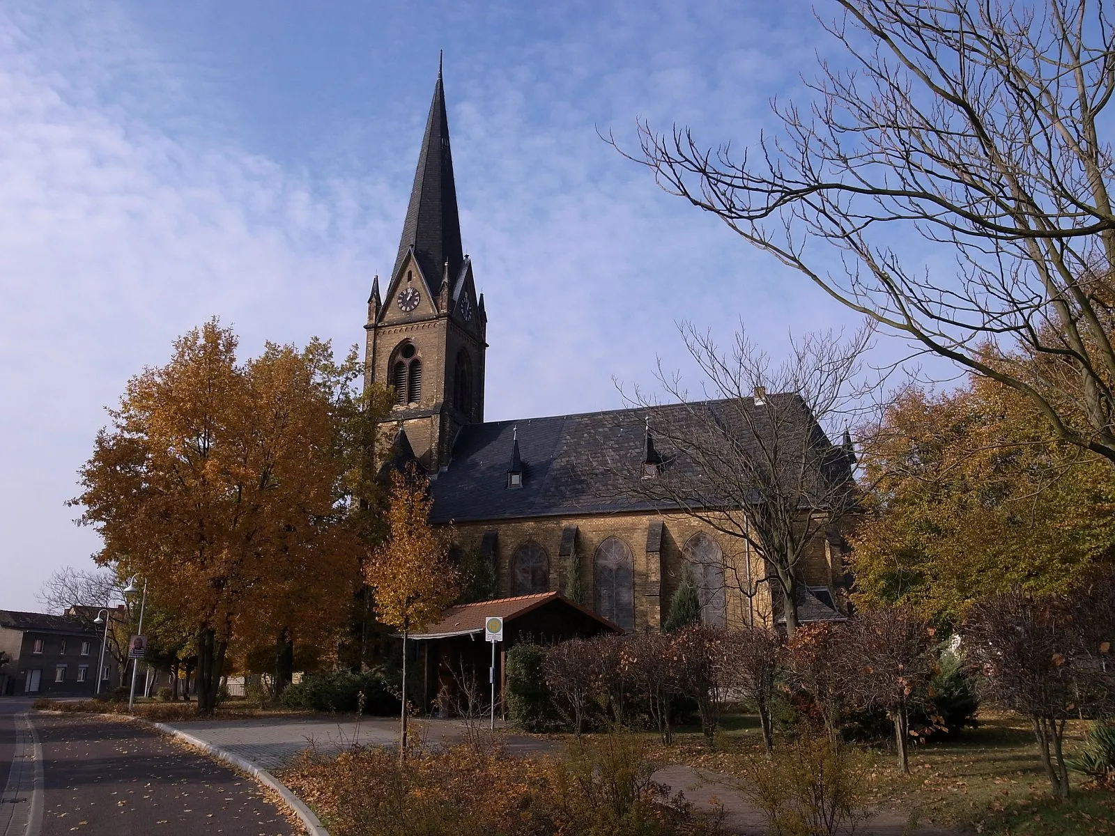
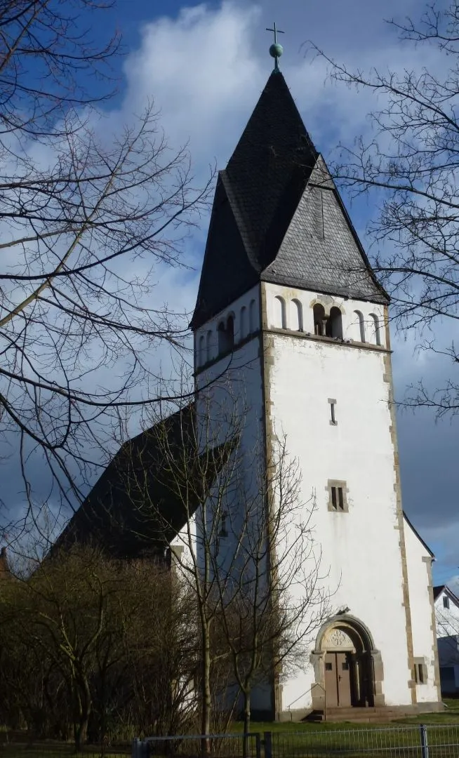
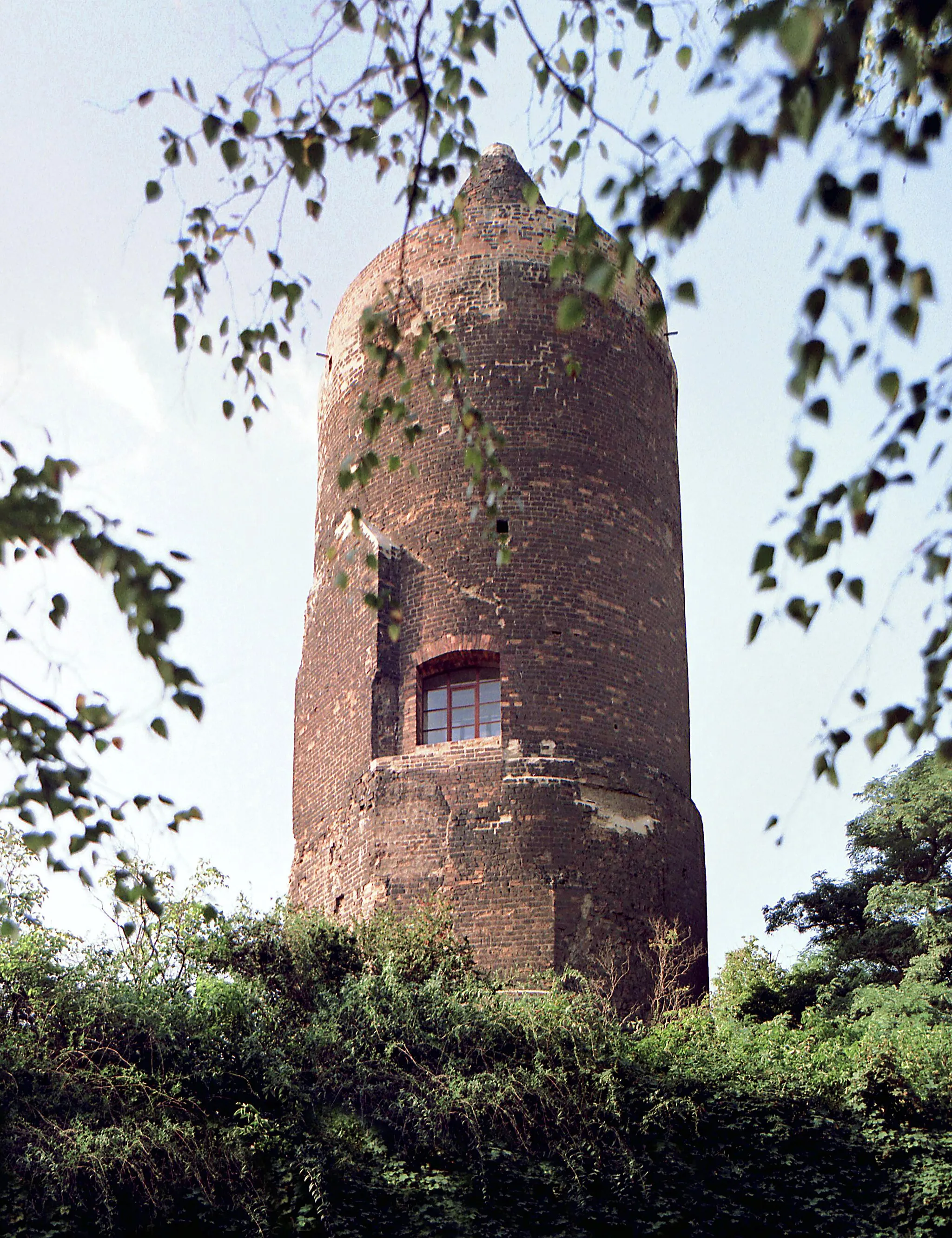
Roter TurmViewpointThe Roter Turm (Red Tower) is a landmark situated at the start of the route. It offers panoramic views of the region and sets the stage for an epic cycling journey through Sachsen-Anhalt.
2 km
2 km
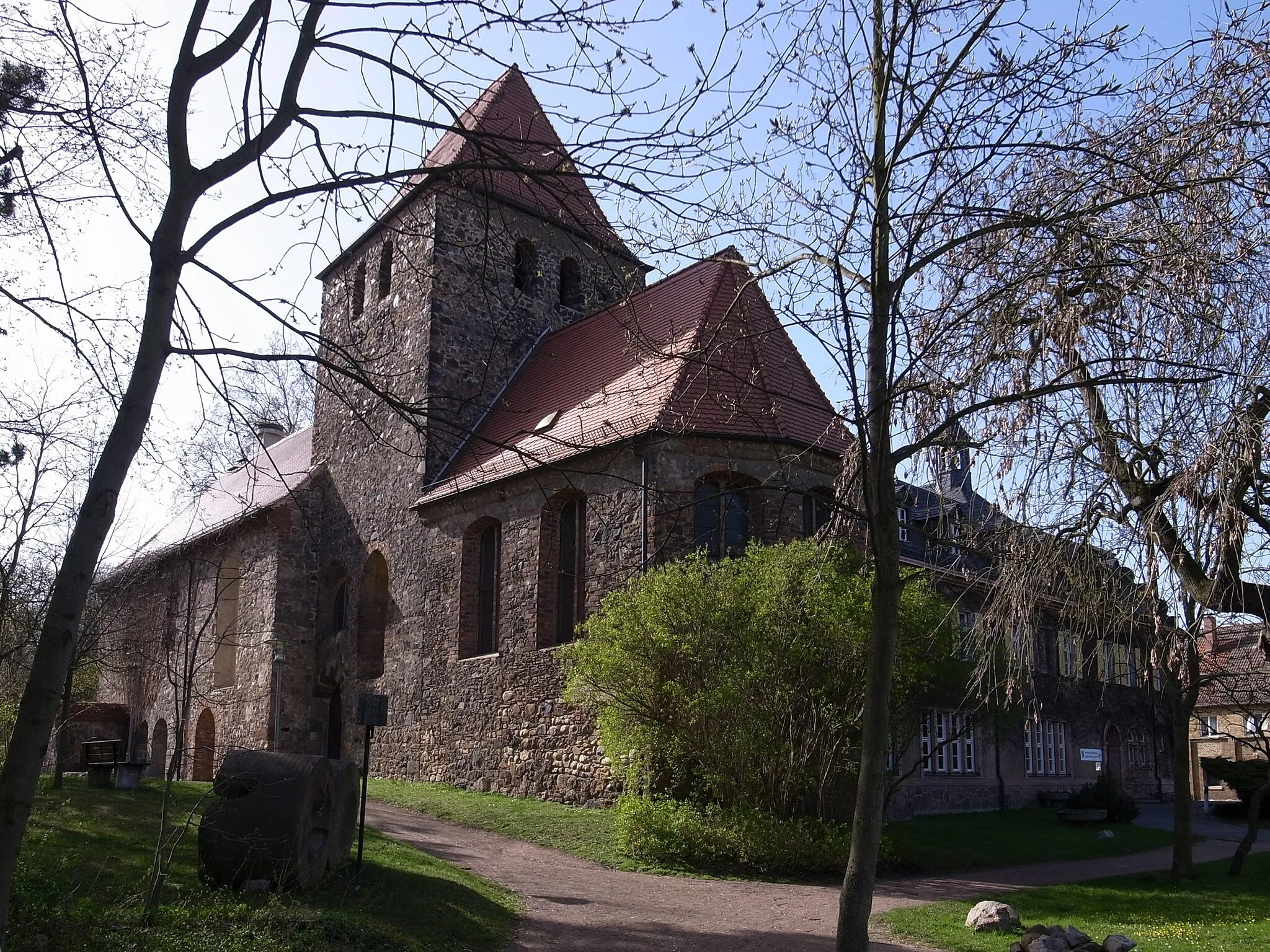
MühlbeckVillageMühlbeck, at the 2 km mark, is a charming village with picturesque landscapes and well-preserved historical buildings. Take a moment to explore the village and soak in its nostalgic ambiance.
11 km
11 km
SandersdorfSub-urbSandersdorf, located at the 11 km mark, is a town rich in history and culture. Marvel at the well-preserved architecture and immerse yourself in the town's vibrant atmosphere.
33 km
33 km
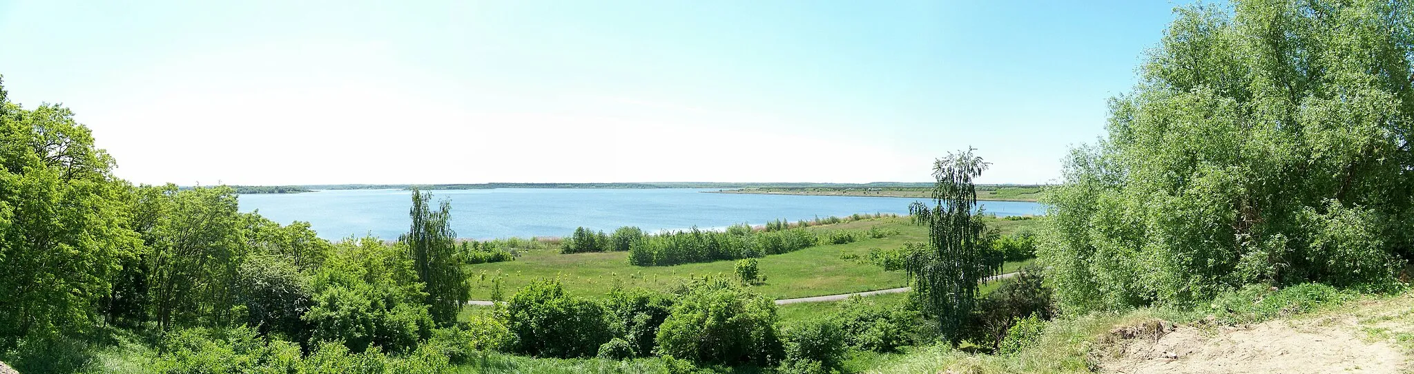
HinsdorfSub-urbHinsdorf, situated at the 33 km mark, offers captivating views of the Elbe River and its surrounding landscape. Take a moment to appreciate the natural beauty before continuing your journey.
41 km
41 km
Ziethe Bifurkation (Quelle)ViewpointZiethe Bifurkation (Quelle), at the 41 km mark, is a unique hydrological phenomenon where the Ziethe River splits into two branches. It's an interesting natural attraction that reflects Sachsen-Anhalt's diverse geography.
47 km
47 km
KleinzerbstHamletKleinzerbst, at the 47 km mark, is a historical town steeped in tradition. Explore the town and discover its rich cultural heritage.
71 km
71 km
TörtenSub-urbTörten, located at the 71 km mark, is a quaint village known for its charming streets and traditional architecture. Take a leisurely ride through the village and appreciate its idyllic atmosphere.
71 km
71 km
Sandberg64 mPeakSandberg, at the 71 km mark, offers scenic panoramic views of the Saxony-Anhalt countryside. Take a moment to pause and soak in the natural beauty of the area.
82 km
82 km
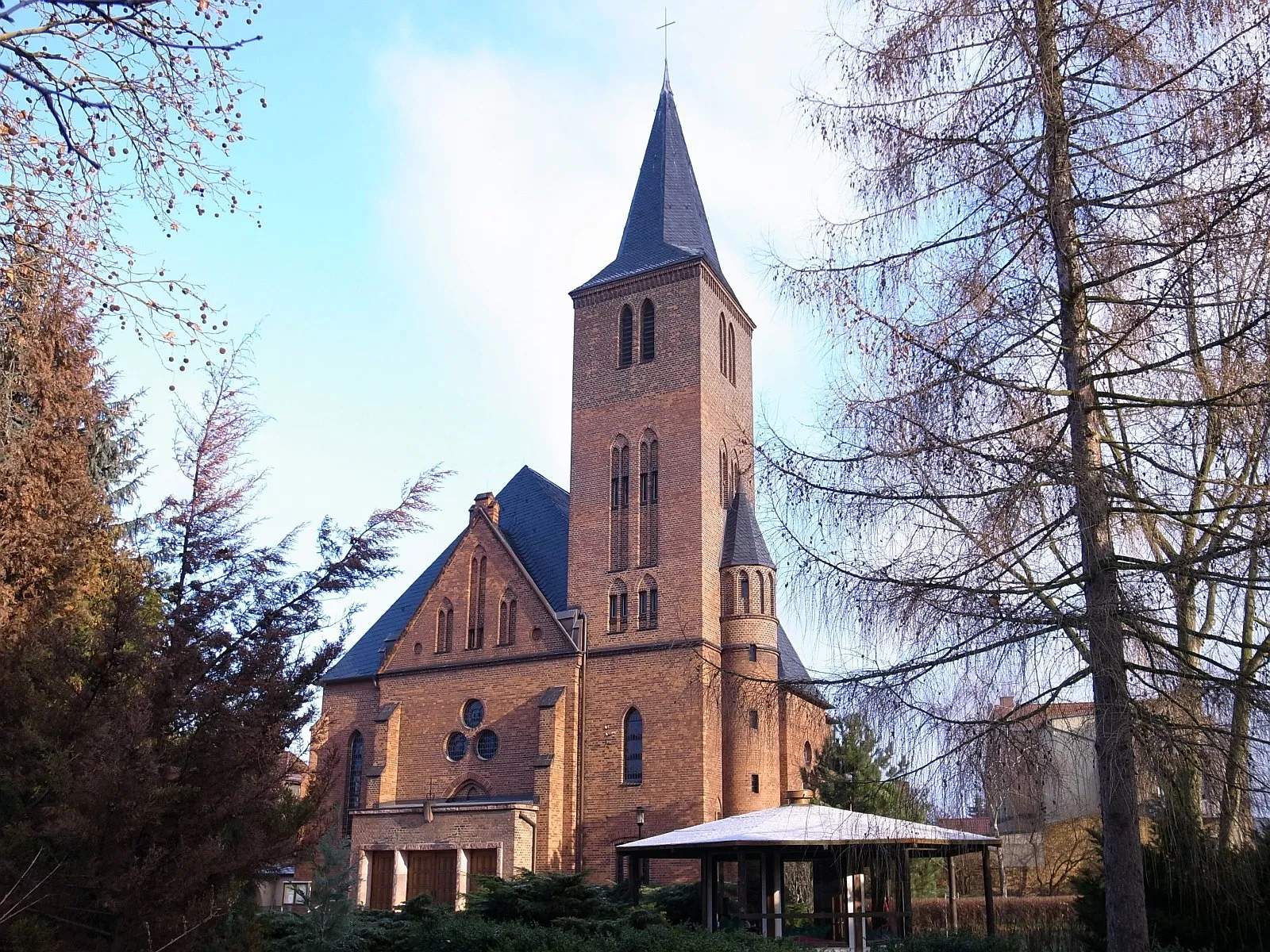
RaguhnTownRaguhn, located at the 82 km mark, is a historical town with a rich architectural heritage. Explore the town and admire its well-preserved structures.
85 km
85 km
IrrgartenViewpointThe Irrgarten (Labyrinth) at the 85 km mark offers a fun and unique experience. Get lost in the maze and enjoy the challenge and sense of adventure.
96 km
96 km
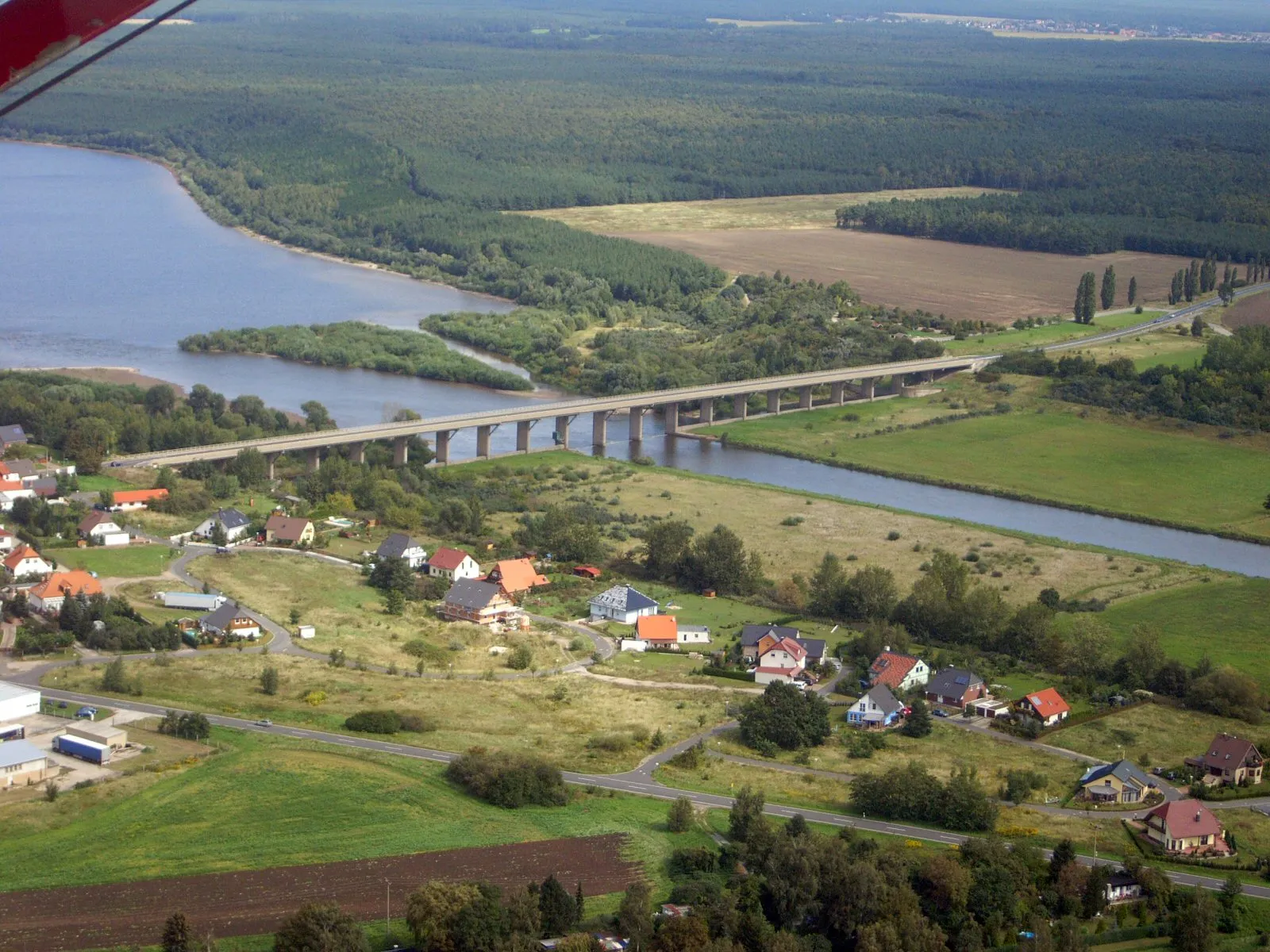
Halbinsel PouchViewpointHalbinsel Pouch, situated at the 96 km mark, is a peninsula known for its natural beauty and recreational opportunities. Take a moment to enjoy the serene surroundings before completing your journey.
96 km
96 km
Rastplatz "Inselblick"Picnic SiteRastplatz 'Inselblick' is a rest area located at the 96 km mark. It offers a picturesque view of the surrounding landscape, providing a perfect spot to recharge and admire the scenery.
98 km
98 km
Finish: Pouch Village centerPouch: Cycling through the scenic landscapes of Pouch
Cycling routes nearby: