The Röttingen Adventure
A road cycling route starting from Schrozberg
Charming towns and scenic vineyards
Map
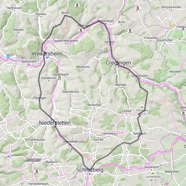
Indulge in the rich wine culture of the region with this 59 km road cycling route. Starting from Schrozberg, the path takes you through enchanting landscapes, including vineyard-covered hills and picturesque valleys. Explore the medieval town of Röttingen, known for its well-preserved city wall and historical charm. The route also highlights the panoramic views from Auber Berg and the cultural heritage of Creglingen. With an ascent of 691 meters, this route offers a moderate challenge suitable for experienced cyclists.
road
59 km
691 m
Tough
Route profile
Highlights on the route
0 km
0 km
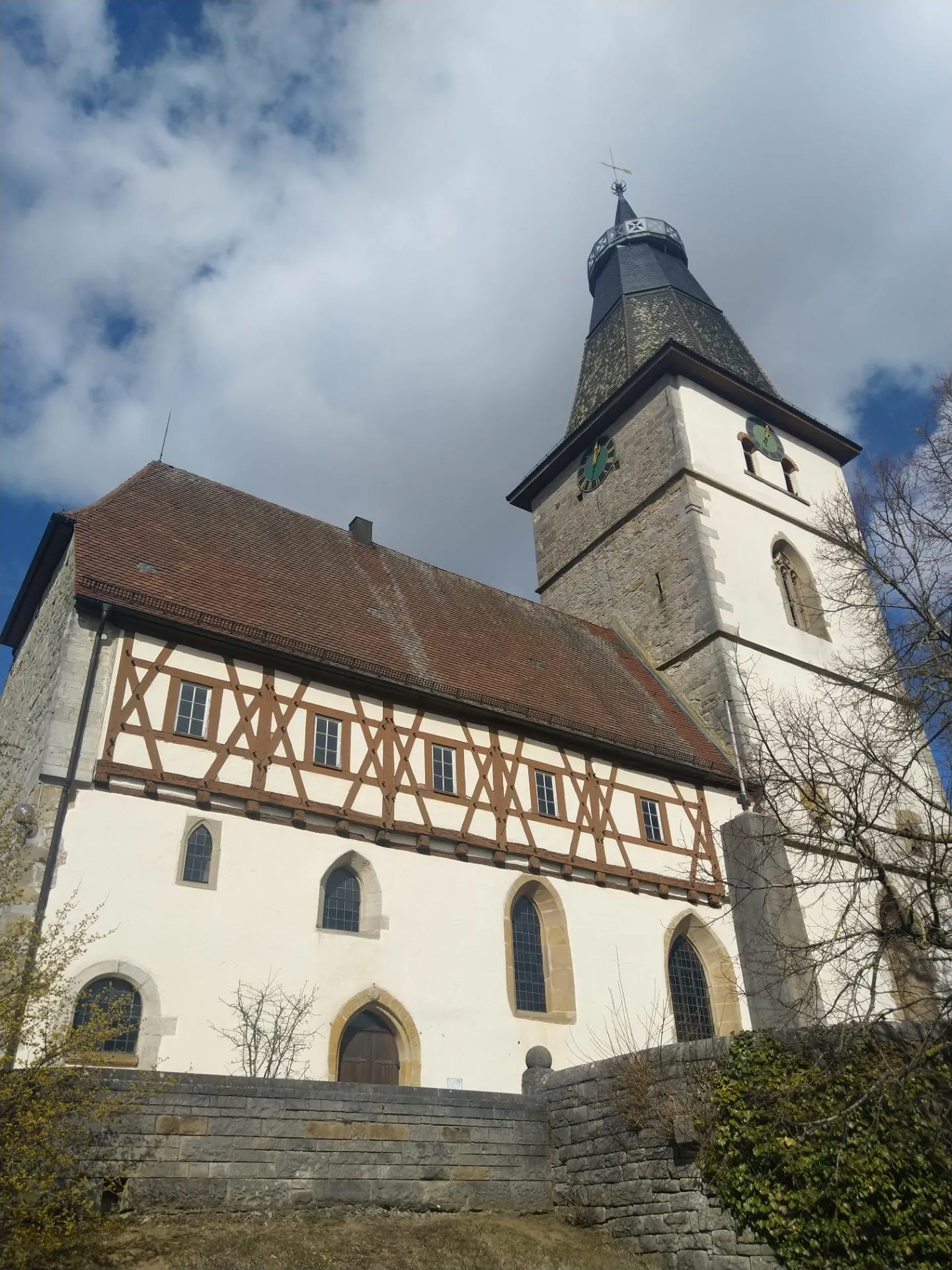
Start: Schrozberg City centerSchrozberg: Tranquil cycling experience in peaceful countryside
Schrozberg is a small town located in Stuttgart, Germany. This locality offers a pleasant cycling experience with its rolling landscapes and well-maintained roads. While Schrozberg doesn't have any famous cycling spots or well-known climbs nearby, it provides a peaceful countryside setting for road and gravel cyclists. With its tranquil environment, Schrozberg is suitable for riders seeking a relaxed and scenic ride.2 km
2 km
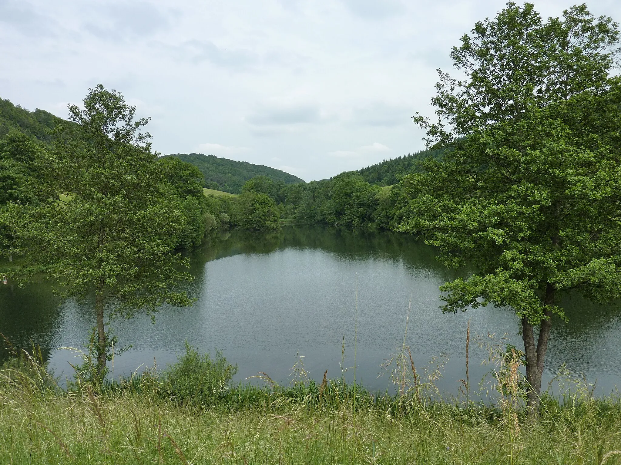
Hochberg461 mPeakHochberg offers beautiful vistas of the surrounding countryside.
12 km
12 km
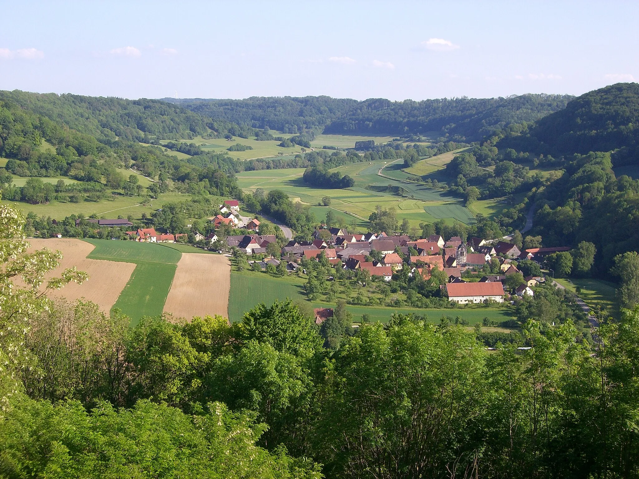
PfitzingenVillagePfitzingen is a quaint village surrounded by rolling green hills.
28 km
28 km
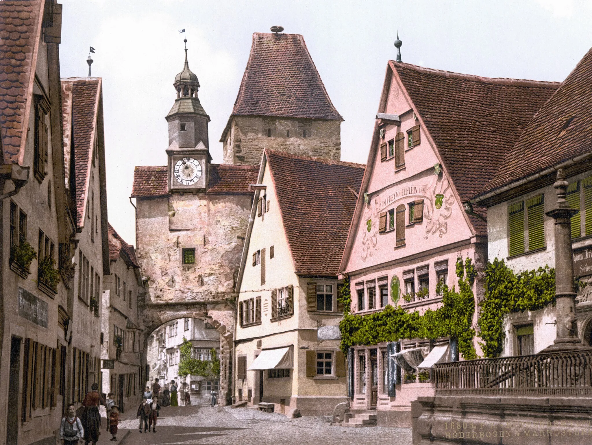
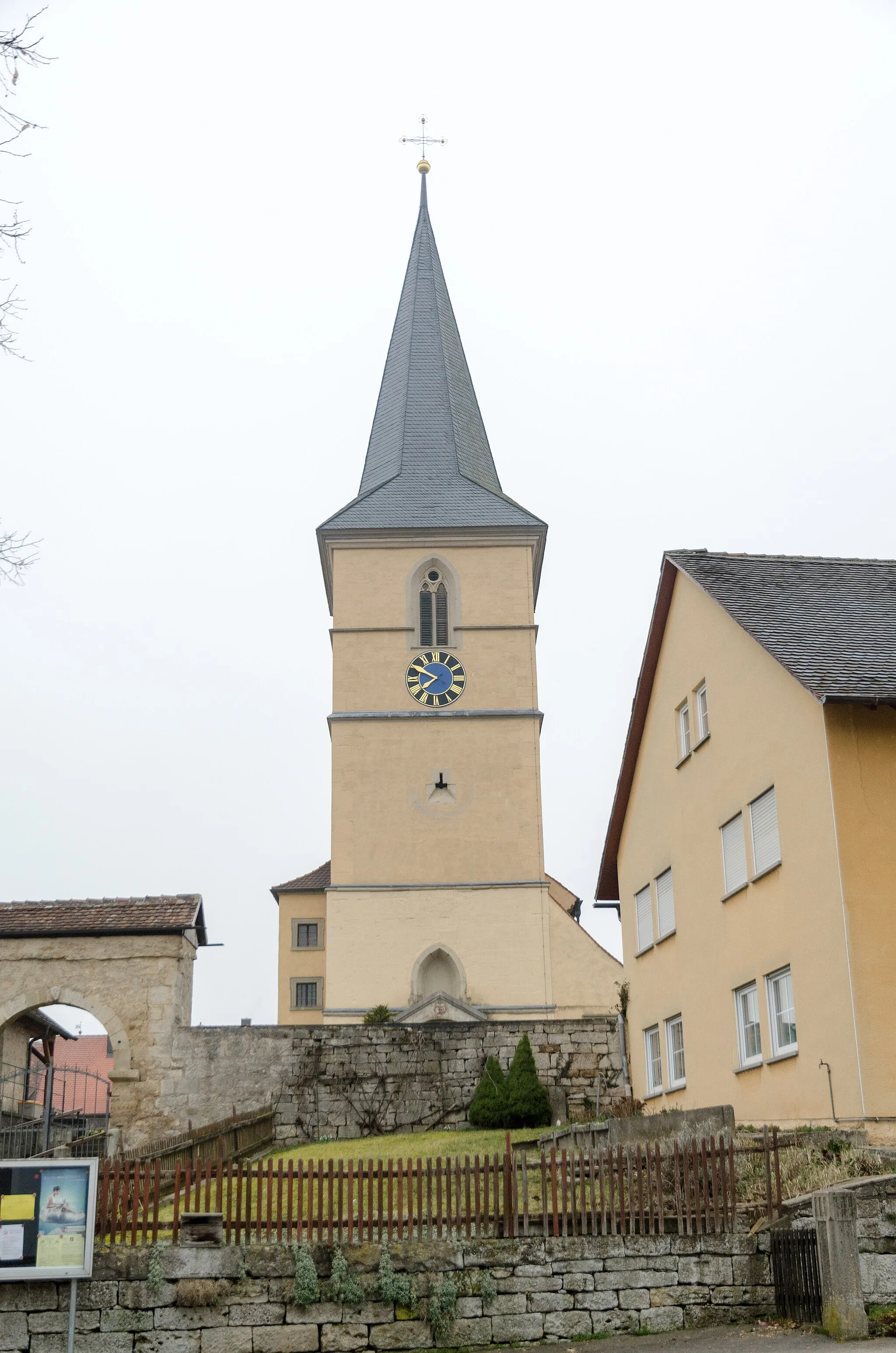
RöttingenVillageEnjoy the historical treasures of Röttingen with its charming city wall.
29 km
29 km
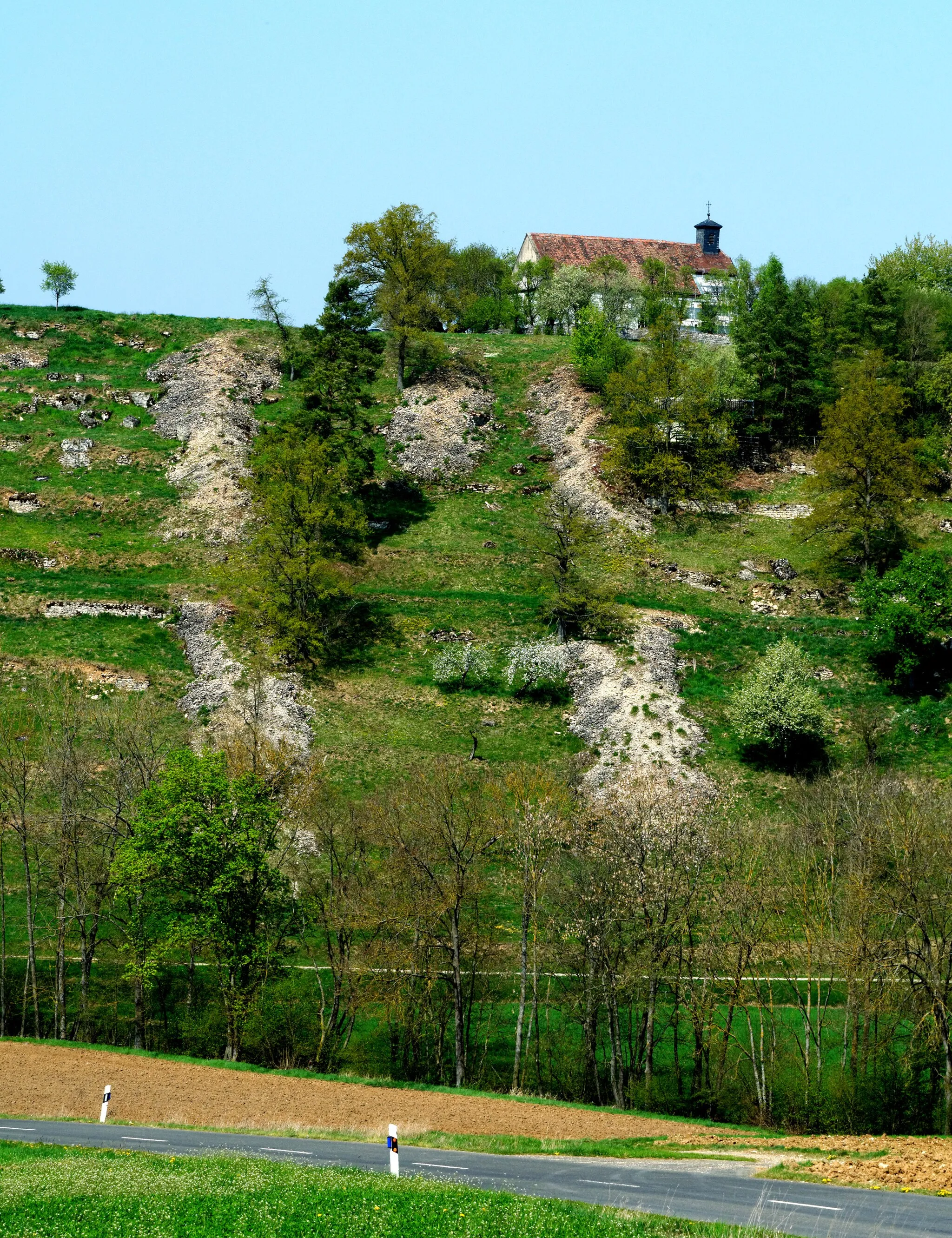
Auber Berg339 mPeakDon't miss the scenic views from Auber Berg, perfect for photo enthusiasts.
37 km
37 km
CreglingenTownCreglingen boasts impressive architecture and a rich cultural heritage.
41 km
41 km
PanoramablickViewpointMake a stop at Panoramablick and admire the breathtaking panoramic vistas.
59 km
59 km
SchrozbergTownSchrozberg is brimming with historical landmarks and natural beauty.
59 km
59 km
Finish: Schrozberg City centerSchrozberg: Tranquil cycling experience in peaceful countryside
Cycling routes from Schrozberg:
The Blaufelden Loop The Röttingen Adventure The Gravelly Adventure The Krautheim Epic The Lerchenhöhe Loop Leuzenbronn and Rothberg Gravel Route Lerchenhöhe and Vorderer Grasbühl Gravel Route Aussichtsturm Sophienberg and Schloss Langenburg Road Route Grüber Ranken and Lerchenhöhe Road Route Brettheim and Kirchberg an der Jagst Gravel Route Schrozberg to Bad Mergentheim Loop
Cycling routes nearby: