Grüber Ranken and Lerchenhöhe Road Route
A road cycling route starting from Schrozberg
Cycle through Grüber Ranken and enjoy the stunning views from Lerchenhöhe
Map
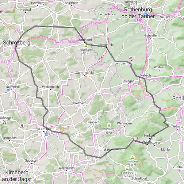
This road route near Schrozberg includes highlights such as Grüber Ranken and Lerchenhöhe, offering stunning views and beautiful landscapes. With a distance of 59 kilometers and an ascent of 507 meters, this route provides a moderate challenge for cyclists. Explore the picturesque countryside and experience the serene charm of the region.
road
59 km
507 m
Chill
Route profile
Highlights on the route
0 km
0 km
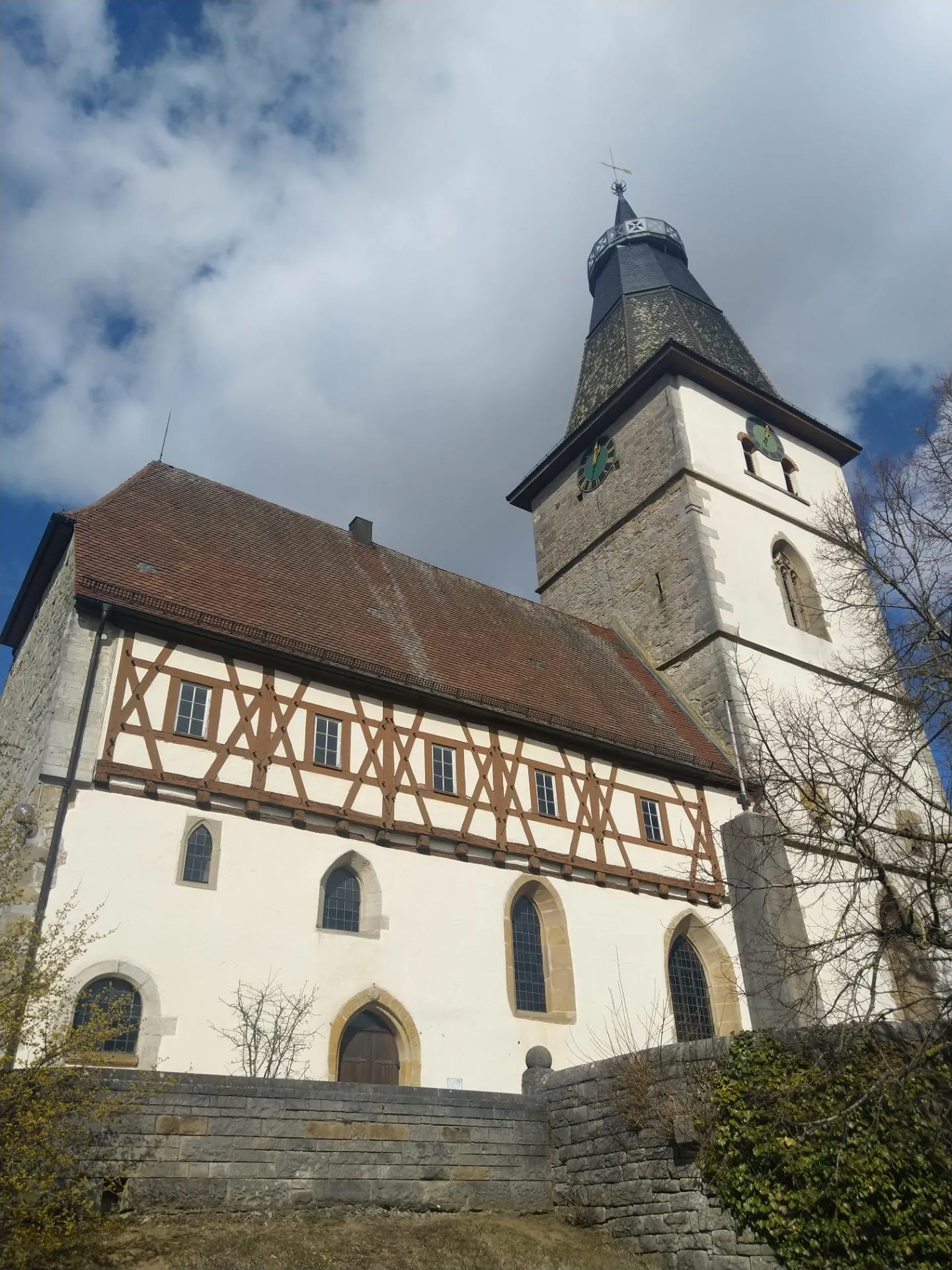
Start: Schrozberg City centerSchrozberg: Tranquil cycling experience in peaceful countryside
Schrozberg is a small town located in Stuttgart, Germany. This locality offers a pleasant cycling experience with its rolling landscapes and well-maintained roads. While Schrozberg doesn't have any famous cycling spots or well-known climbs nearby, it provides a peaceful countryside setting for road and gravel cyclists. With its tranquil environment, Schrozberg is suitable for riders seeking a relaxed and scenic ride.10 km
10 km
Lerchenhöhe481 mPeakCapture stunning views from the top of Lerchenhöhe and enjoy the peaceful surroundings.
13 km
13 km
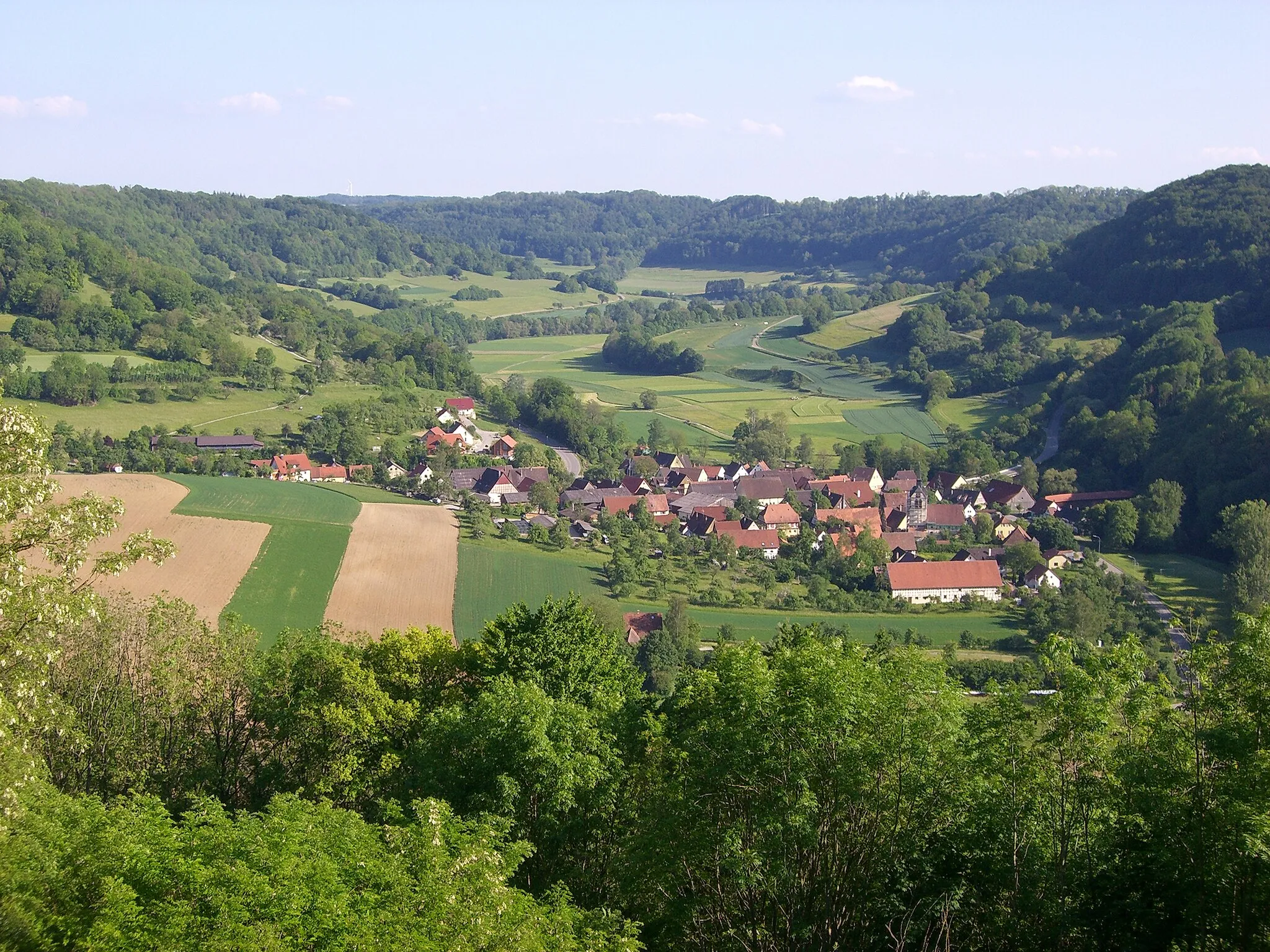
BettenfeldVillagePass through Bettenfeld and revel in its tranquil atmosphere and scenic landscapes.
25 km
25 km
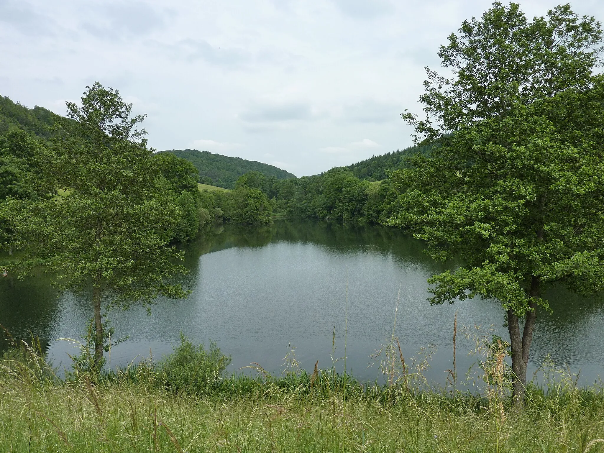
Wühlberg531 mPeakCycle through Grüber Ranken and appreciate its scenic beauty.
33 km
33 km
Grüber Ranken546 mPeakEnjoy the ascent of Grüber Ranken and marvel at the stunning views along the way.
59 km
59 km
SchrozbergTownEnd your cycling journey in Schrozberg and take the time to explore its picturesque streets and traditional architecture.
59 km
59 km
Finish: Schrozberg City centerSchrozberg: Tranquil cycling experience in peaceful countryside
Cycling routes from Schrozberg:
The Blaufelden Loop The Röttingen Adventure The Gravelly Adventure The Krautheim Epic The Lerchenhöhe Loop Leuzenbronn and Rothberg Gravel Route Lerchenhöhe and Vorderer Grasbühl Gravel Route Aussichtsturm Sophienberg and Schloss Langenburg Road Route Grüber Ranken and Lerchenhöhe Road Route Brettheim and Kirchberg an der Jagst Gravel Route Schrozberg to Bad Mergentheim Loop
Cycling routes nearby: