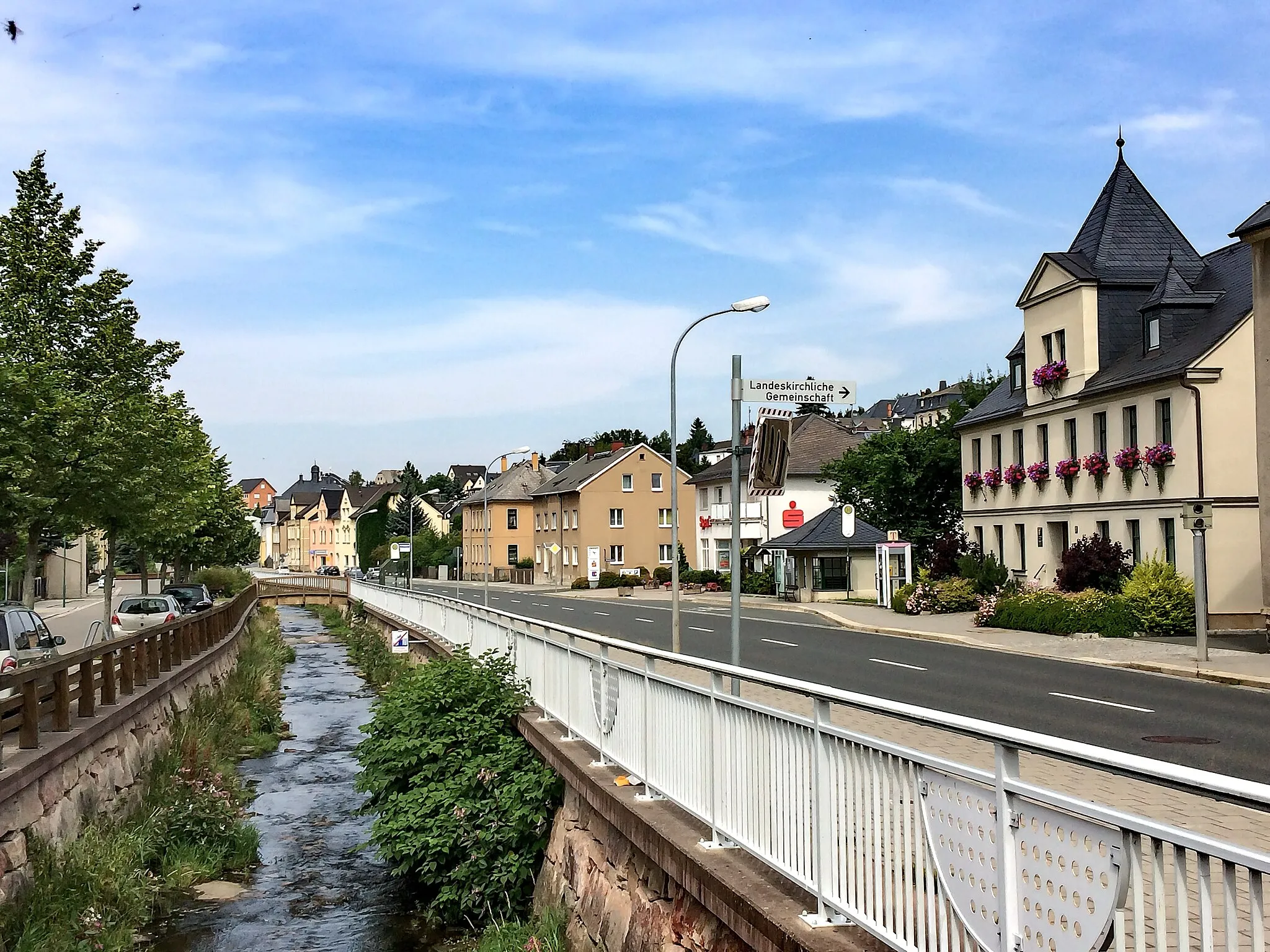
Exploring the cycling paths of Bad Blankenburg
Cycling routes from Bad Blankenburg
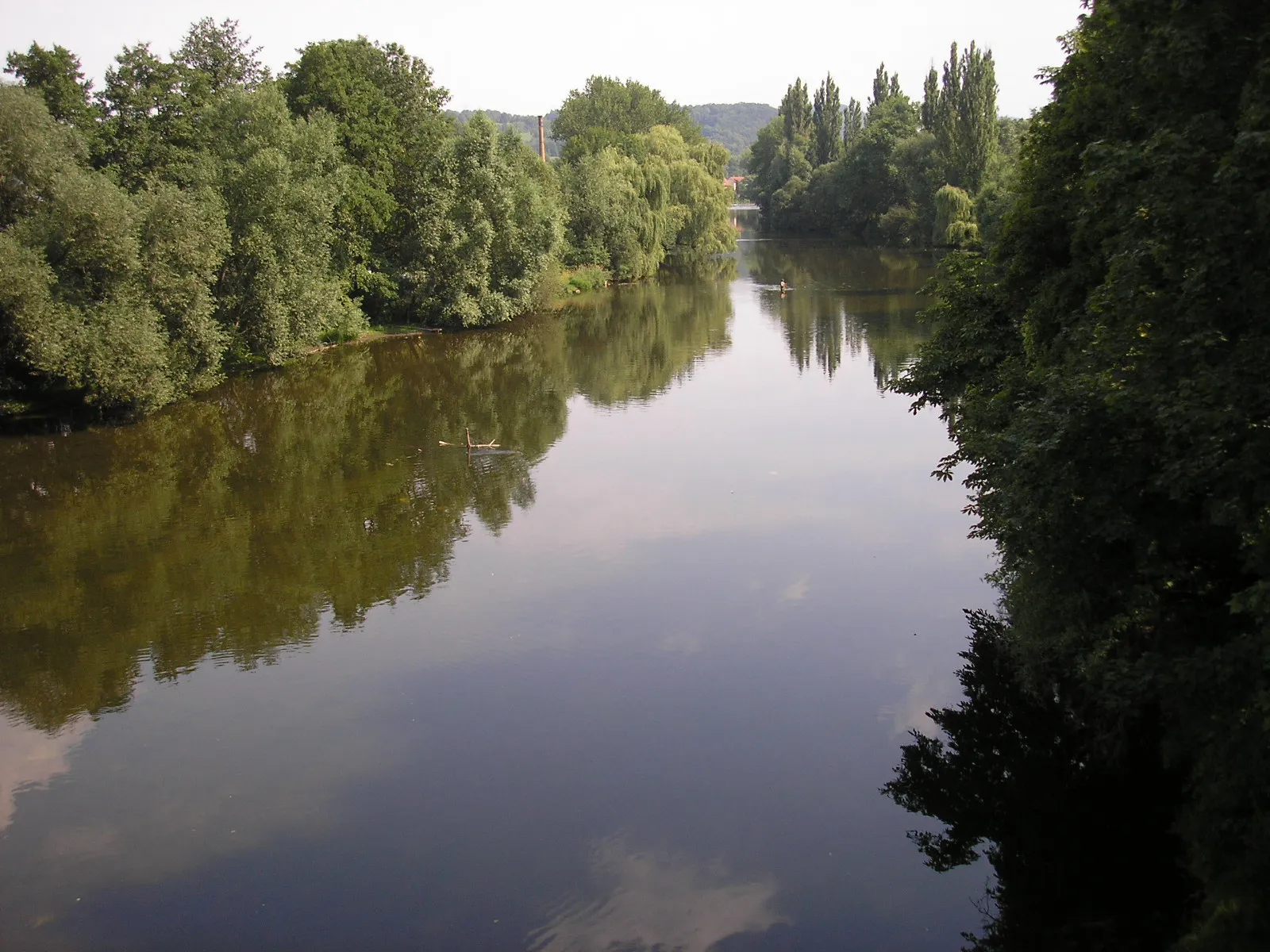
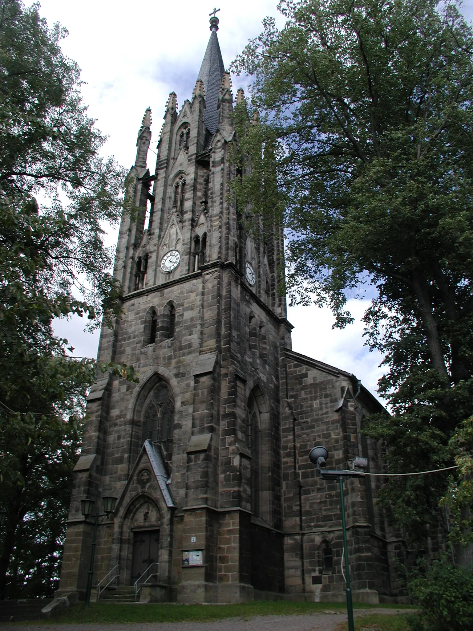
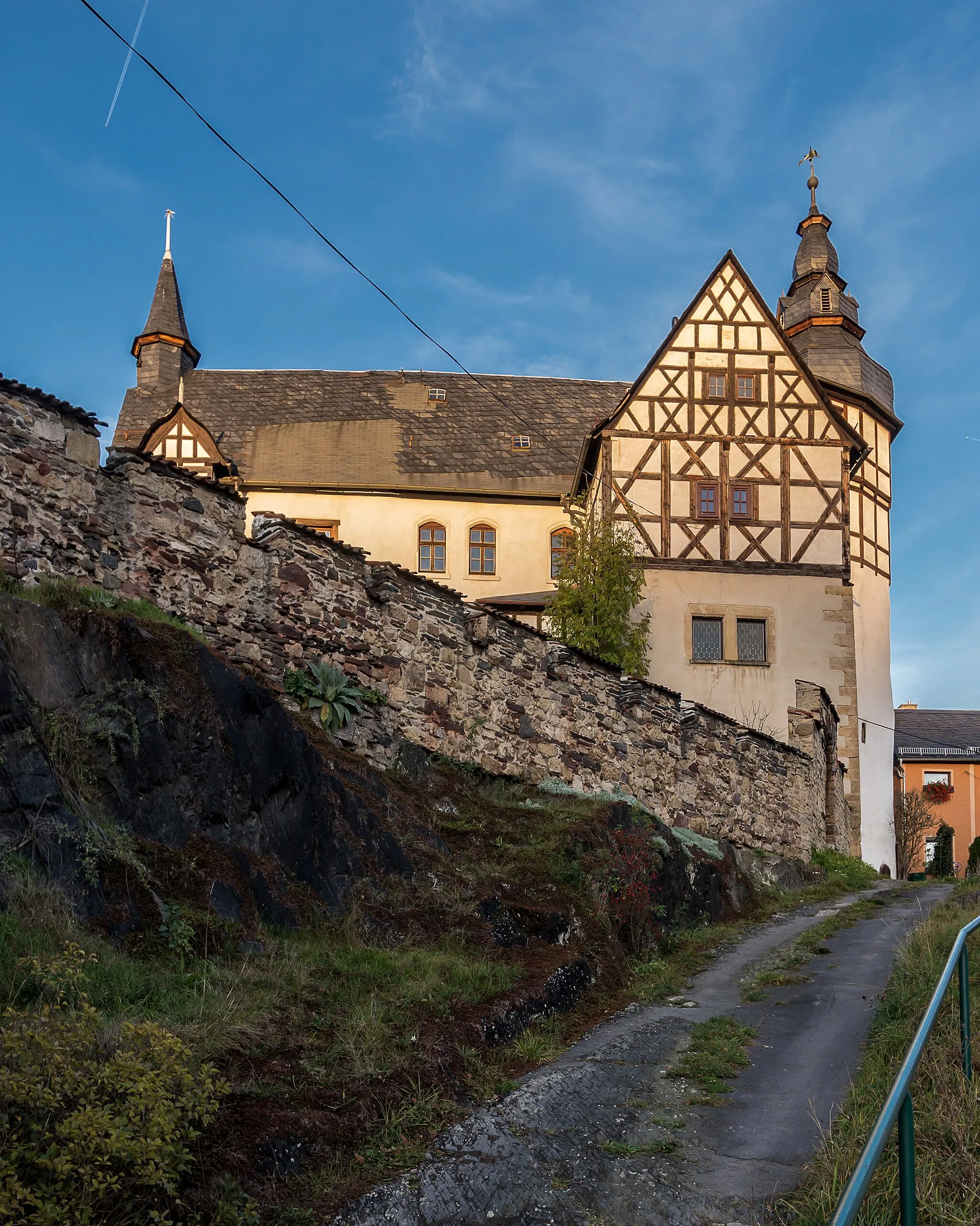
Bad Blankenburg is a charming town located in the Thüringen region of Germany. From a cyclist's perspective, Bad Blankenburg offers scenic routes through rolling hills and picturesque landscapes. The town is known for its well-maintained cycling paths, making it a popular destination for road and gravel cyclists. One of the famous cycling-related spots near Bad Blankenburg is the Rennsteig, a long-distance trail perfect for adventurous cyclists seeking a challenge.
The Hills of Saalfeld
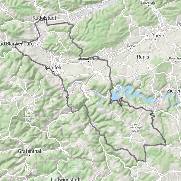
Embark on an adventure through the hills surrounding Saalfeld on this challenging road cycling route.
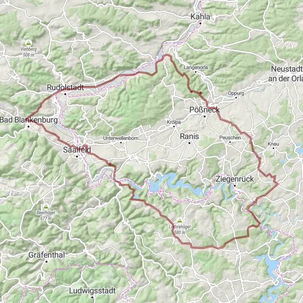
Experience the beauty of the Saalfeld region as you tackle this challenging road cycling route. With a total ascent of 1594 meters and a distance of 99 kilometers, this route is perfect for cyclists seeking a thrilling challenge. Enjoy the scenic views as you climb the Langer Berg and Langenschade. Discover the charm of Könitz and Kuttenberg along the way. Make a stop at Großer Mittelberg for a stunning panoramic view and a well-deserved rest. Finally, be captivated by the beauty of Saalfeld, particularly the Beulwitzer Straße, as you complete this unforgettable journey.
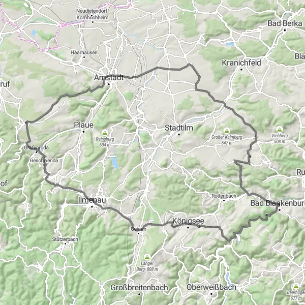
Embark on a challenging road ride from Eberstein to Thälendorf, enjoying the scenic beauty of Thüringen.
This road ride from Eberstein to Thälendorf covers a distance of 114 kilometers with an ascent of 1324 meters. Suitable for experienced road cyclists, this route offers highlights such as Eberstein and Königsstuhl. You'll pass through picturesque villages and enjoy breathtaking views of the Thüringen countryside.
Explore the scenic countryside around Bad Blankenburg on this challenging gravel route.
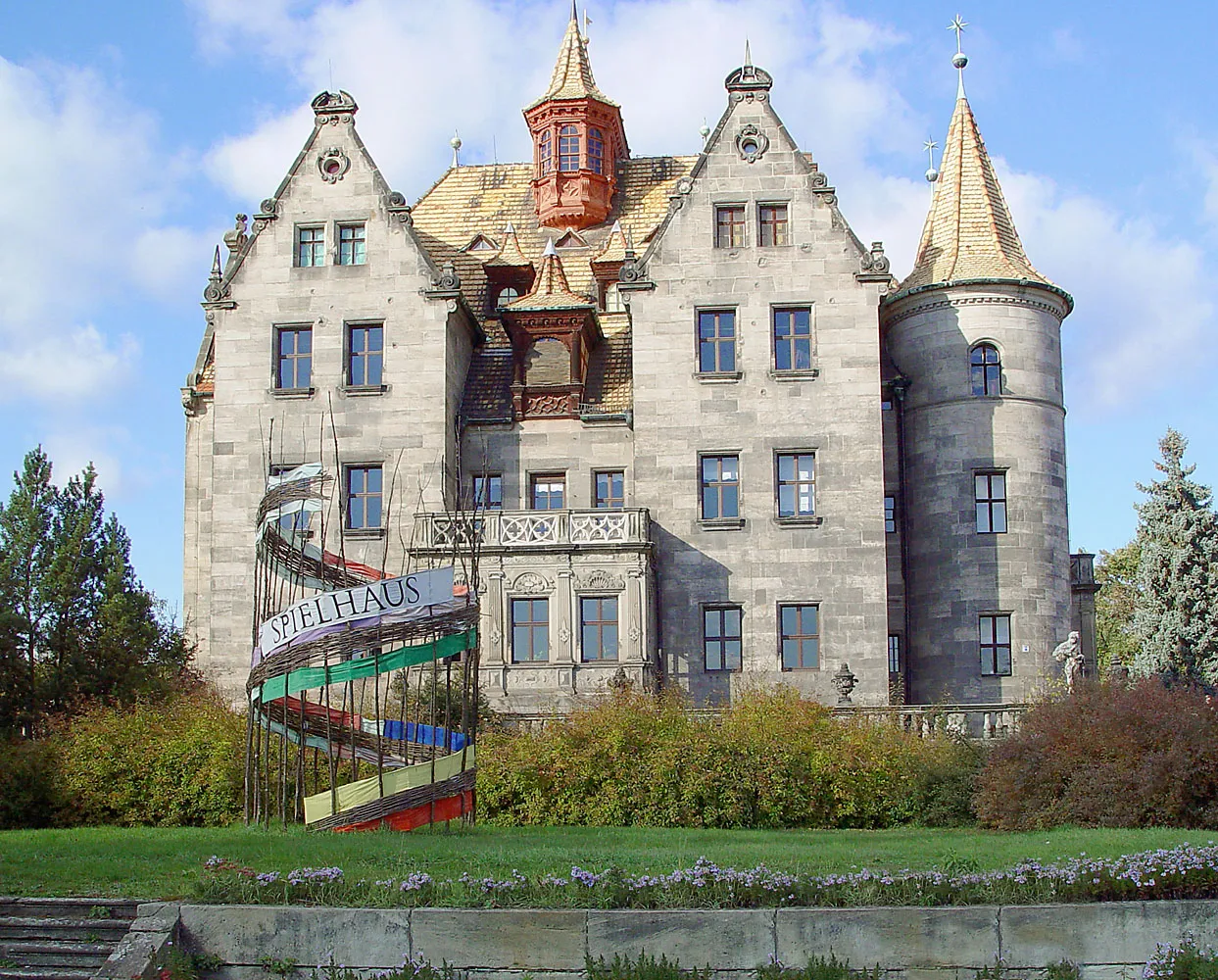
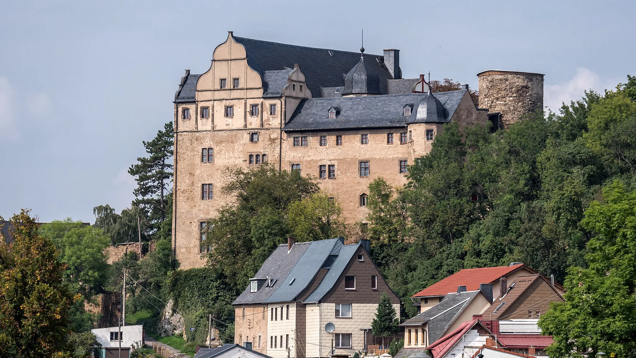
This challenging gravel route takes you through the beautiful countryside near Bad Blankenburg. With a total distance of 106 kilometers and an ascent of 2531 meters, it is suitable for well-trained amateurs. The route includes highlights such as Sandberg, Schloß Eichicht, and Glashügel. These spots offer breathtaking views and interesting historical landmarks.
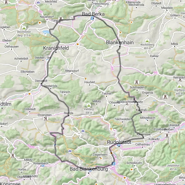
Embark on a scenic road cycling adventure through the beautiful Remda region.
Discover the beauty of the Remda region on this scenic road cycling route. With a total ascent of 908 meters and a distance of 82 kilometers, this route offers a moderate challenge for cyclists. Enjoy the views as you conquer the climbs of Geiersberg and Remda. Pass through the charming village of Tonndorf and experience its quaint atmosphere. Take a break and soak in the panoramic view from the Luisenturm. As you ride through Oberhasel and Gemeindeberg, lose yourself in the tranquility of your surroundings. This route is perfect for cycling enthusiasts seeking a rewarding journey through picturesque landscapes.

A thrilling off-road cycling experience filled with challenging terrains!
Embark on a 64-kilometer gravel cycling adventure starting near Bad Blankenburg. This route is perfect for experienced cyclists who love off-road rides. With a total ascent of 1607 meters, you'll face challenging climbs and enjoy the pristine nature of Thüringen, Germany. Prepare yourself for stunning landscapes, picturesque villages, and unique highlights along the way.
Cycle through the charming landscapes of Vogelsberg on this scenic road cycling route.
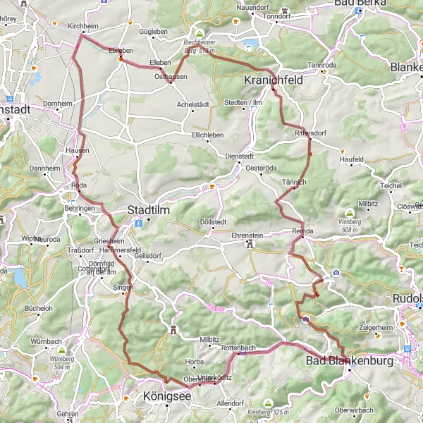
Immerse yourself in the beauty of Vogelsberg on this scenic road cycling route. With a total ascent of 915 meters and a distance of 90 kilometers, this route offers a moderate challenge for cyclists. Enjoy the gentle climbs and picturesque views as you explore Milbitz and Traßdorf. Vogelsberg will captivate you with its charming scenery and rolling hills. Marvel at the architectural beauty of Elleben and Remda. The highlight of this route is the climb up Geiersberg, which rewards cyclists with a stunning view of the surrounding landscapes. As you pedal through Großgölitz and Heidenberg, take a moment to appreciate the tranquility and natural beauty that surrounds you.
The Gravel Adventure
Embark on an exciting gravel adventure through the diverse landscapes of Thüringen.
Experience the thrill of gravel cycling on this epic 106-kilometer route through Thüringen. With a total ascent of 1826 meters, this challenging route will push your cycling skills to the limit. Discover hidden gems along the way, including Talblick and Oberkrossen, known for their stunning natural beauty. Aussicht Pößneck OST provides a captivating view of the surrounding landscapes, while Bodelwitz boasts a rich cultural heritage. Gänsekragen and Altengesees offer opportunities to immerse yourself in the tranquility of nature. Don't miss the chance to witness the Vogelherd and Crösten highlights, which provide breathtaking views and unforgettable experiences. This gravel adventure is not for the faint of heart, but it promises a thrilling and memorable journey.
Embark on an adventurous gravel journey from Quittelsdorf to Steiger, exploring the hidden gems of Thüringen.
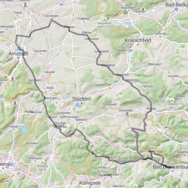
This adventurous gravel route takes you through the rugged terrain of Thüringen, from Quittelsdorf to Steiger. Covering a distance of 92 kilometers with an ascent of 1271 meters, this route is suitable for experienced gravel cyclists. Highlights include Kanapee and Riechheimer Berg. Take in the scenic beauty and discover the hidden gems of Thüringen.
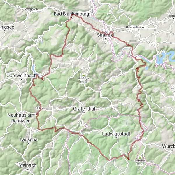
Explore the stunning landscapes of the Thuringian Forest on this challenging road cycling route.
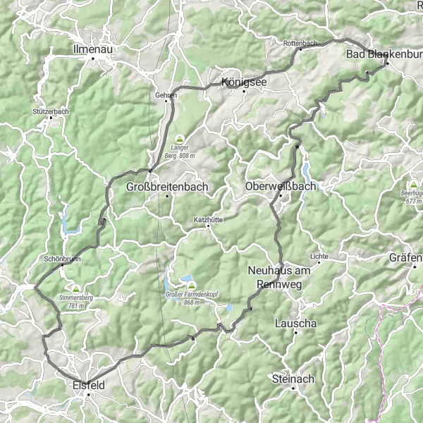
Get ready for an unforgettable cycling adventure through the Thuringian Forest. This road cycling route will take you on a journey through picturesque villages, dense forests, and steep climbs. With a total ascent of 1628 meters and a distance of 114 kilometers, this challenging route is perfect for experienced cyclists looking for an epic challenge. Prepare to be amazed by the breathtaking views from the top of Oberweißbach and Steinbiel. As you ride through Sachsenbrunn and Sandberg, take a moment to appreciate the tranquility of nature. Finally, enjoy the panoramic view of Stadtblick as you complete this memorable journey.
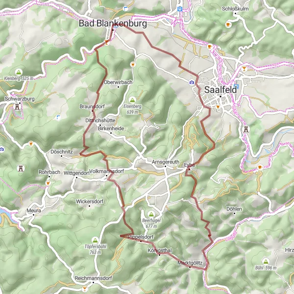
Experience the thrill of gravel biking on this scenic route from Sandberg to Marktgölitz.
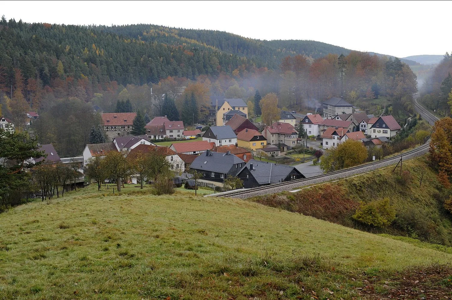
This moderate gravel route takes you through the picturesque countryside from Sandberg to Marktgölitz, covering a distance of 46 kilometers with an ascent of 1108 meters. Suitable for amateur cyclists with some gravel biking experience, this route offers highlights such as Hundsberg and Dittrichshütte. Enjoy the stunning nature and peaceful surroundings along the way.
Cycling routes nearby:


Nearby regions: