Sandberg - Marktgölitz Gravel Route
A gravel cycling route starting from Bad Blankenburg
Experience the thrill of gravel biking on this scenic route from Sandberg to Marktgölitz.
Map
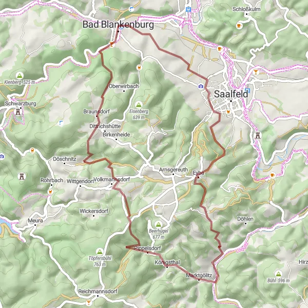
This moderate gravel route takes you through the picturesque countryside from Sandberg to Marktgölitz, covering a distance of 46 kilometers with an ascent of 1108 meters. Suitable for amateur cyclists with some gravel biking experience, this route offers highlights such as Hundsberg and Dittrichshütte. Enjoy the stunning nature and peaceful surroundings along the way.
gravel
46 km
1108 m
Tough
Route profile
Highlights on the route
0 km
0 km
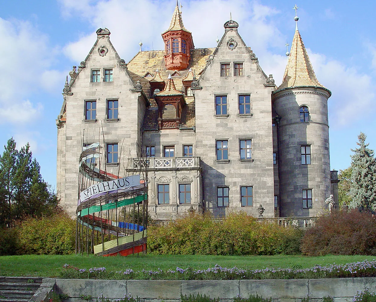
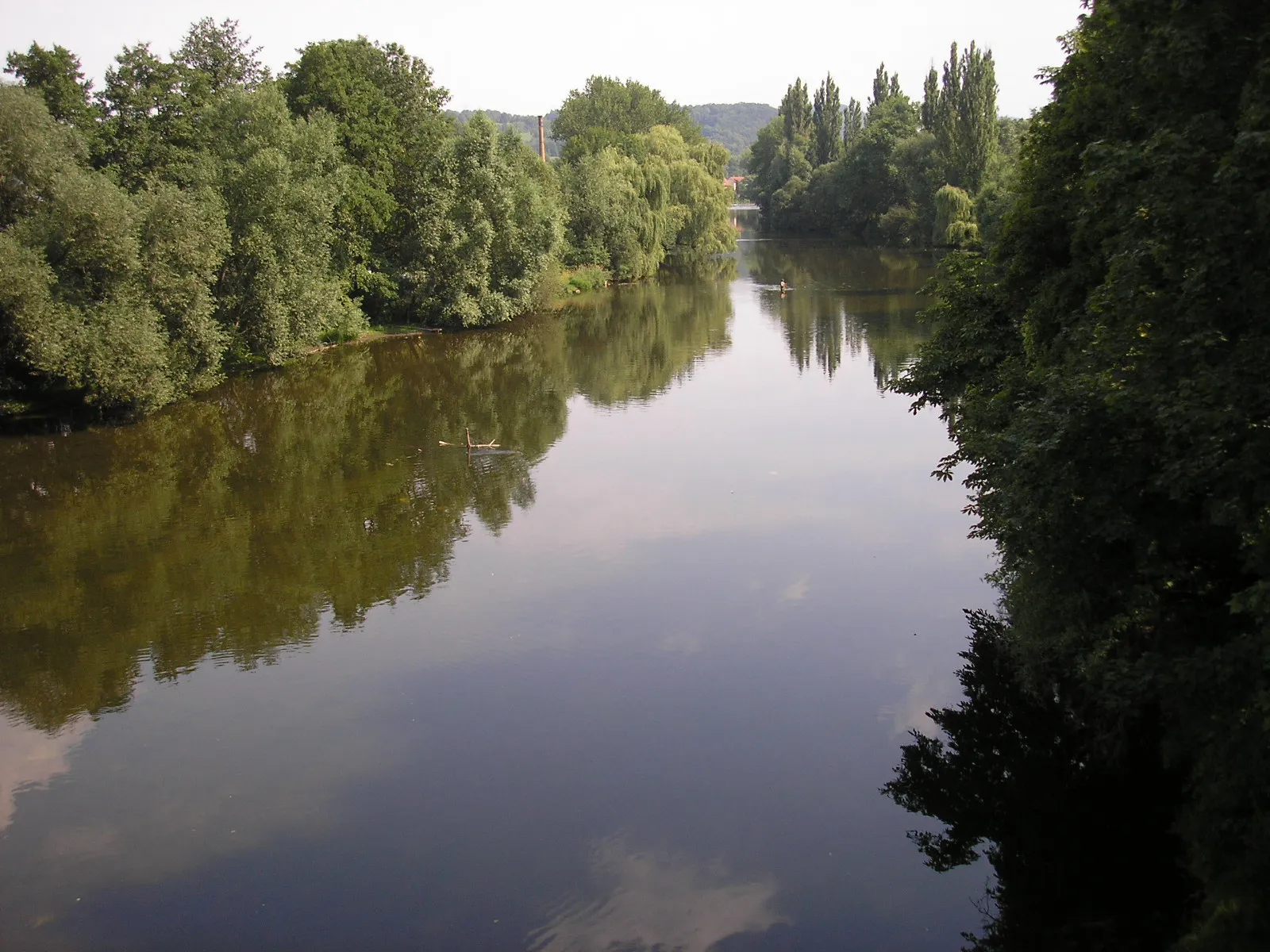
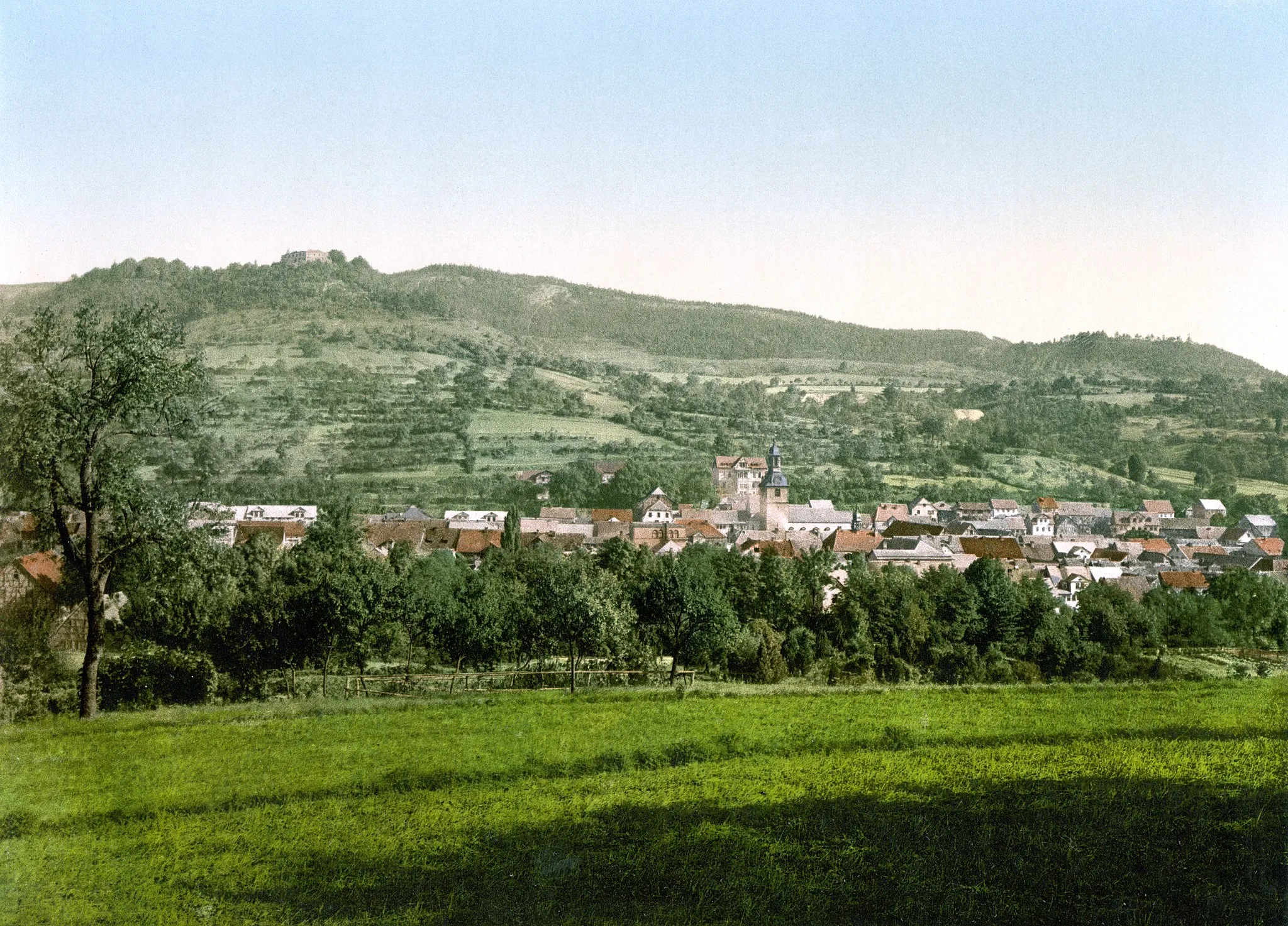
Start: Bad Blankenburg City centerBad Blankenburg: Exploring the cycling paths of Bad Blankenburg
Bad Blankenburg is a charming town located in the Thüringen region of Germany. From a cyclist's perspective, Bad Blankenburg offers scenic routes through rolling hills and picturesque landscapes. The town is known for its well-maintained cycling paths, making it a popular destination for road and gravel cyclists. One of the famous cycling-related spots near Bad Blankenburg is the Rennsteig, a long-distance trail perfect for adventurous cyclists seeking a challenge.0 km
0 km
Bad BlankenburgTownStart your journey in Sandberg, a quaint village surrounded by beautiful nature. Explore the village before beginning your ride.
3 km
3 km
Sandberg329 mShelterSandberg is a small hill with panoramic views of the surrounding landscape. Take a break and capture some stunning photos.
17 km
17 km
Hundsberg567 mPeakHundsberg is a scenic hill with a great view of the countryside. Enjoy the tranquility of this spot before continuing your ride.
23 km
23 km
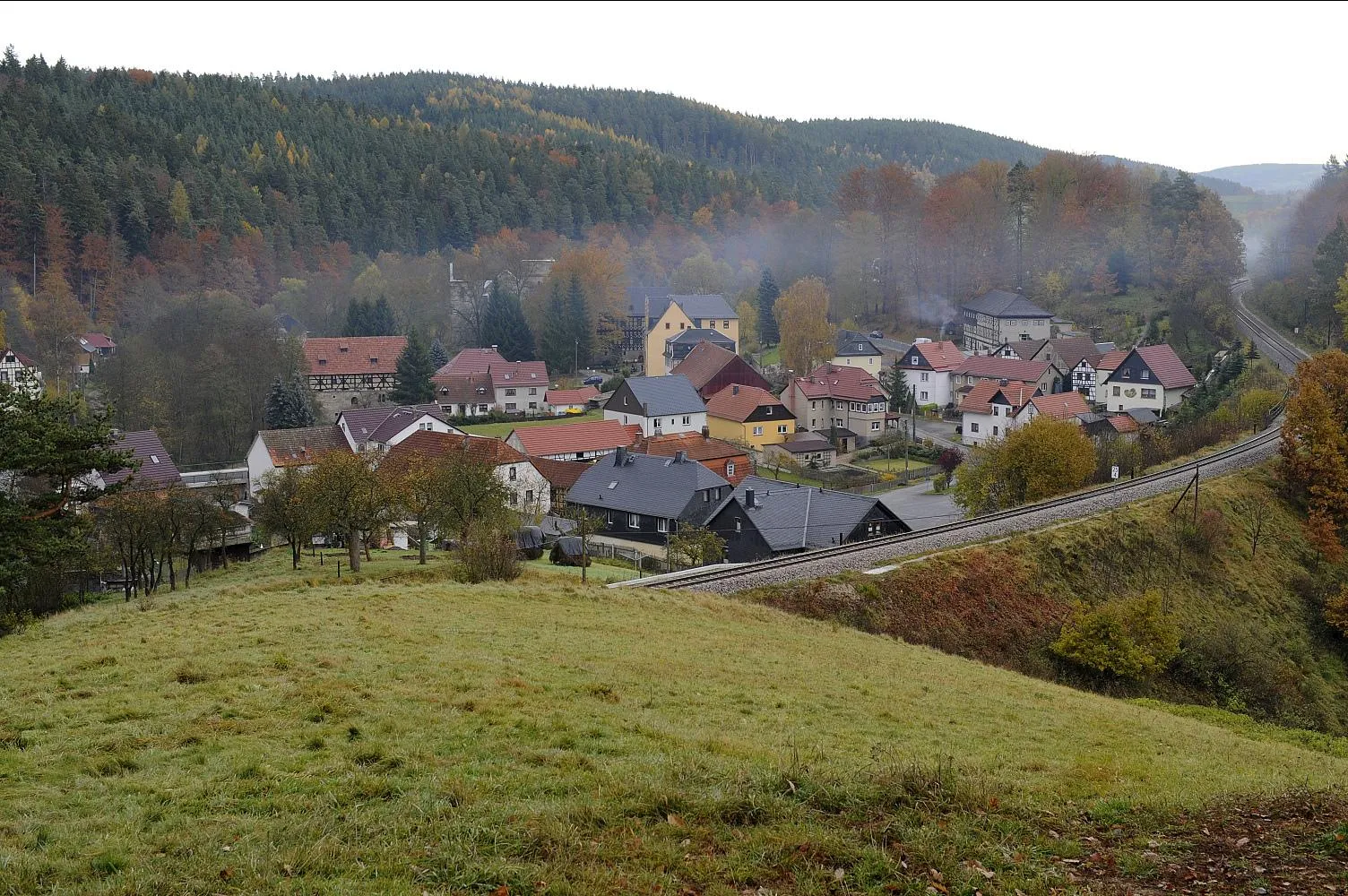
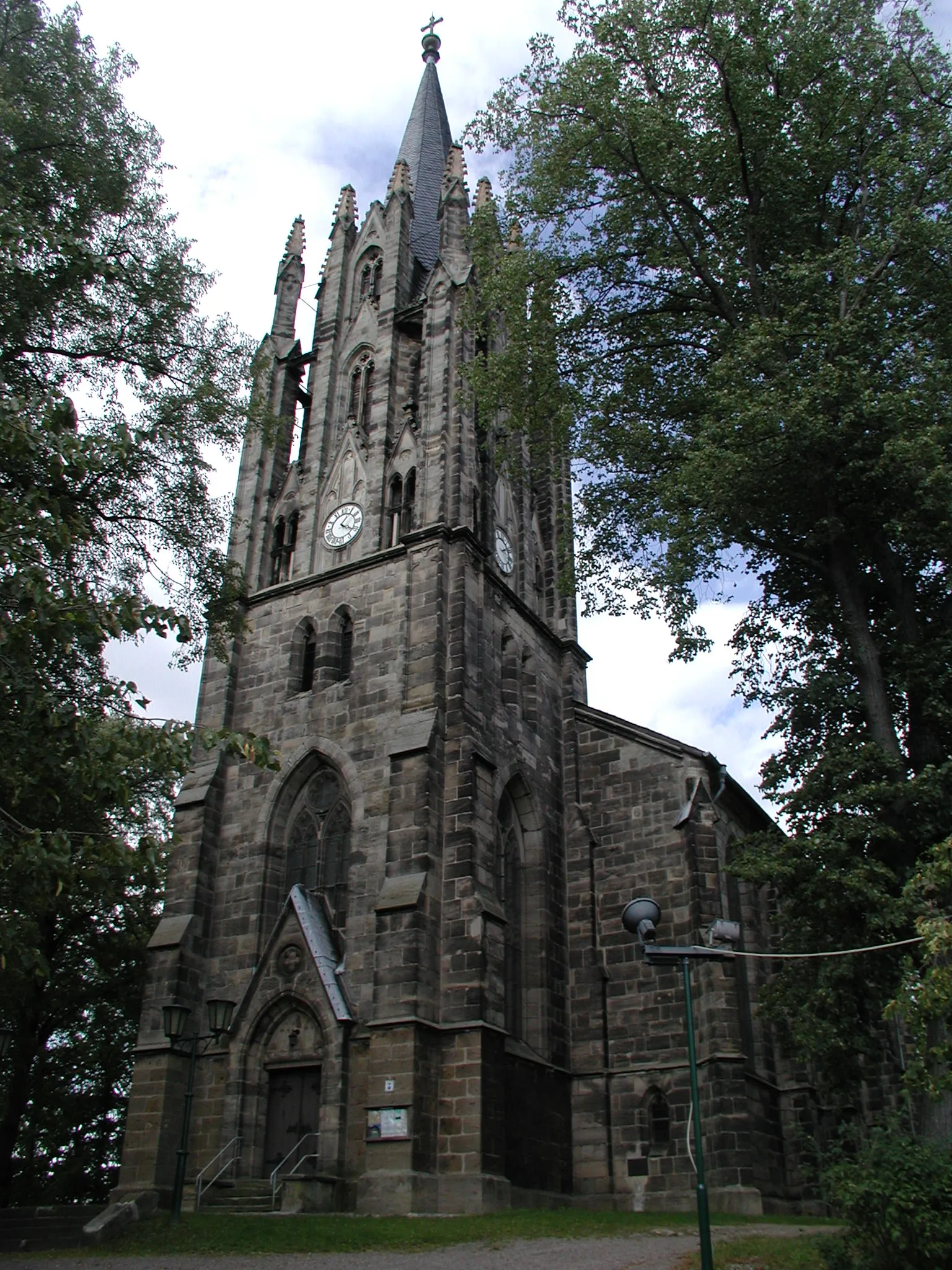
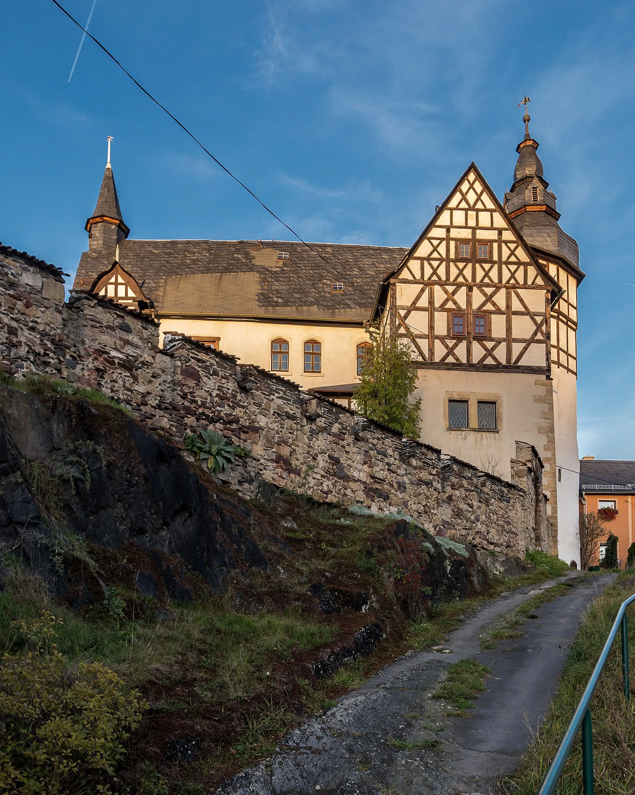
MarktgölitzVillageMarktgölitz is a charming village with traditional timber-framed houses and a beautiful church. Take a stroll through the village and immerse yourself in its history.
34 km
34 km
Klingeberg593 mPeakKlingeberg is a small hill with spectacular views of the surrounding countryside. Stop and admire the beauty of nature.
39 km
39 km
DittrichshütteVillageDittrichshütte is a cozy mountain hut nestled in the woods. Rest and recharge before continuing your journey.
46 km
46 km
Finish: Bad Blankenburg City centerBad Blankenburg: Exploring the cycling paths of Bad Blankenburg
Cycling routes from Bad Blankenburg:
Cycling routes nearby: