The Hills of Saalfeld
A road cycling route starting from Bad Blankenburg
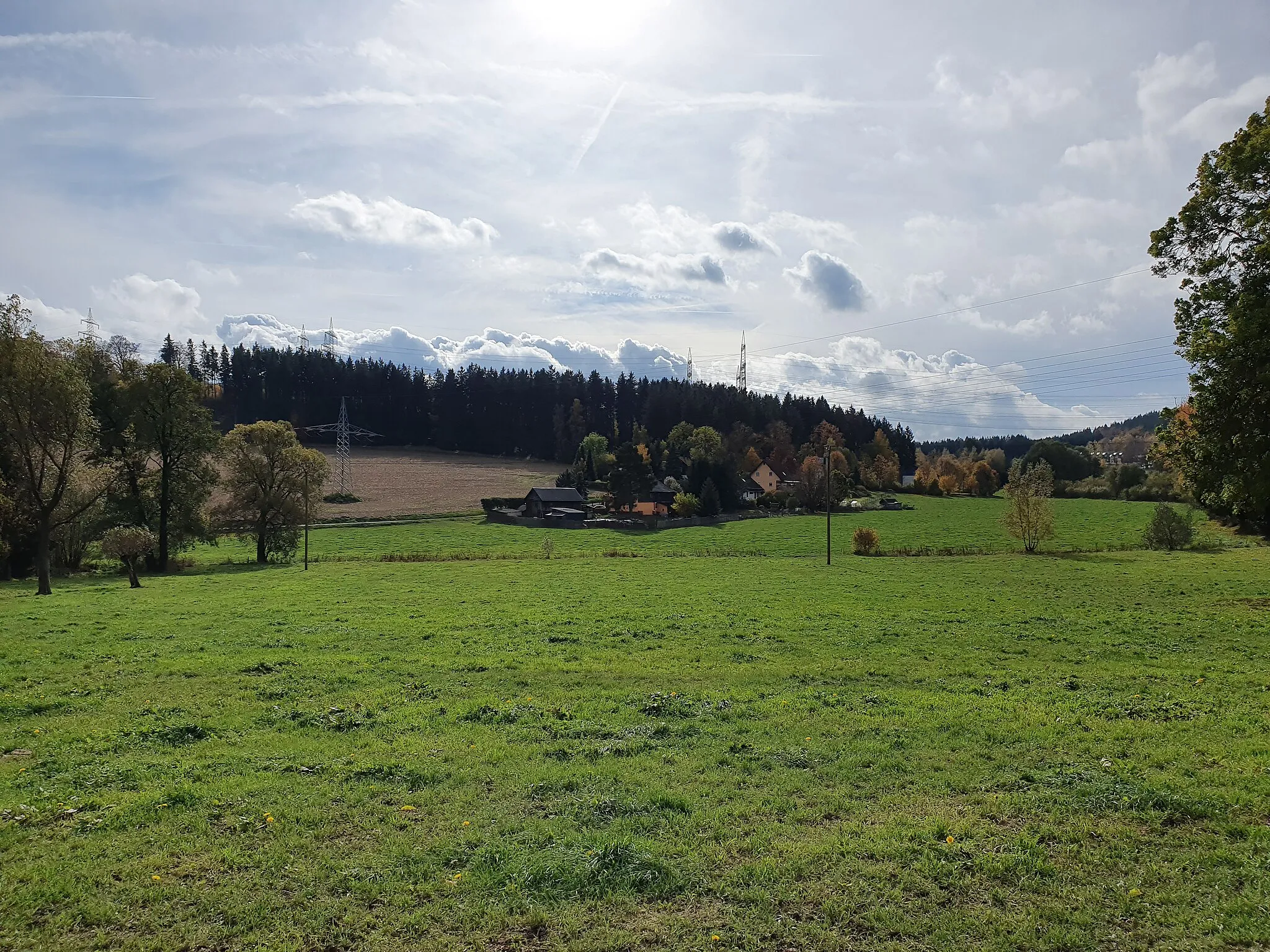
Embark on an adventure through the hills surrounding Saalfeld on this challenging road cycling route.
Map
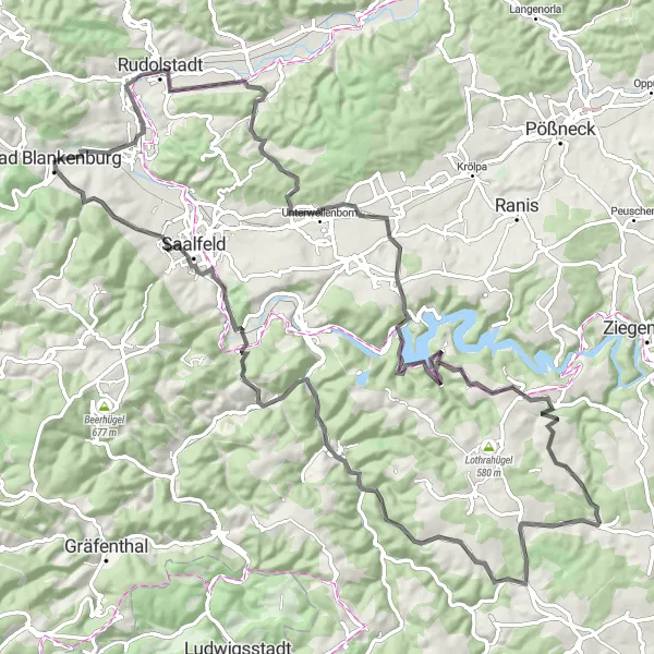
Experience the beauty of the Saalfeld region as you tackle this challenging road cycling route. With a total ascent of 1594 meters and a distance of 99 kilometers, this route is perfect for cyclists seeking a thrilling challenge. Enjoy the scenic views as you climb the Langer Berg and Langenschade. Discover the charm of Könitz and Kuttenberg along the way. Make a stop at Großer Mittelberg for a stunning panoramic view and a well-deserved rest. Finally, be captivated by the beauty of Saalfeld, particularly the Beulwitzer Straße, as you complete this unforgettable journey.
road
99 km
1594 m
Tough
Route profile
Highlights on the route
0 km
0 km
Start: Bad Blankenburg City centerBad Blankenburg: Exploring the cycling paths of Bad Blankenburg
Bad Blankenburg is a charming town located in the Thüringen region of Germany. From a cyclist's perspective, Bad Blankenburg offers scenic routes through rolling hills and picturesque landscapes. The town is known for its well-maintained cycling paths, making it a popular destination for road and gravel cyclists. One of the famous cycling-related spots near Bad Blankenburg is the Rennsteig, a long-distance trail perfect for adventurous cyclists seeking a challenge.11 km
11 km
Langer Berg354 mPeakLanger Berg offers stunning views and a challenging climb for cyclists.
16 km
16 km
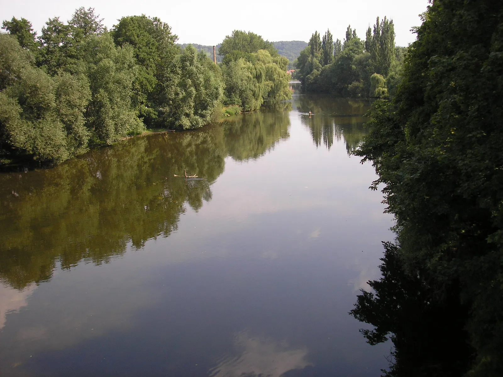
LangenschadeVillageLangenschade is a lovely village surrounded by picturesque landscapes.
28 km
28 km
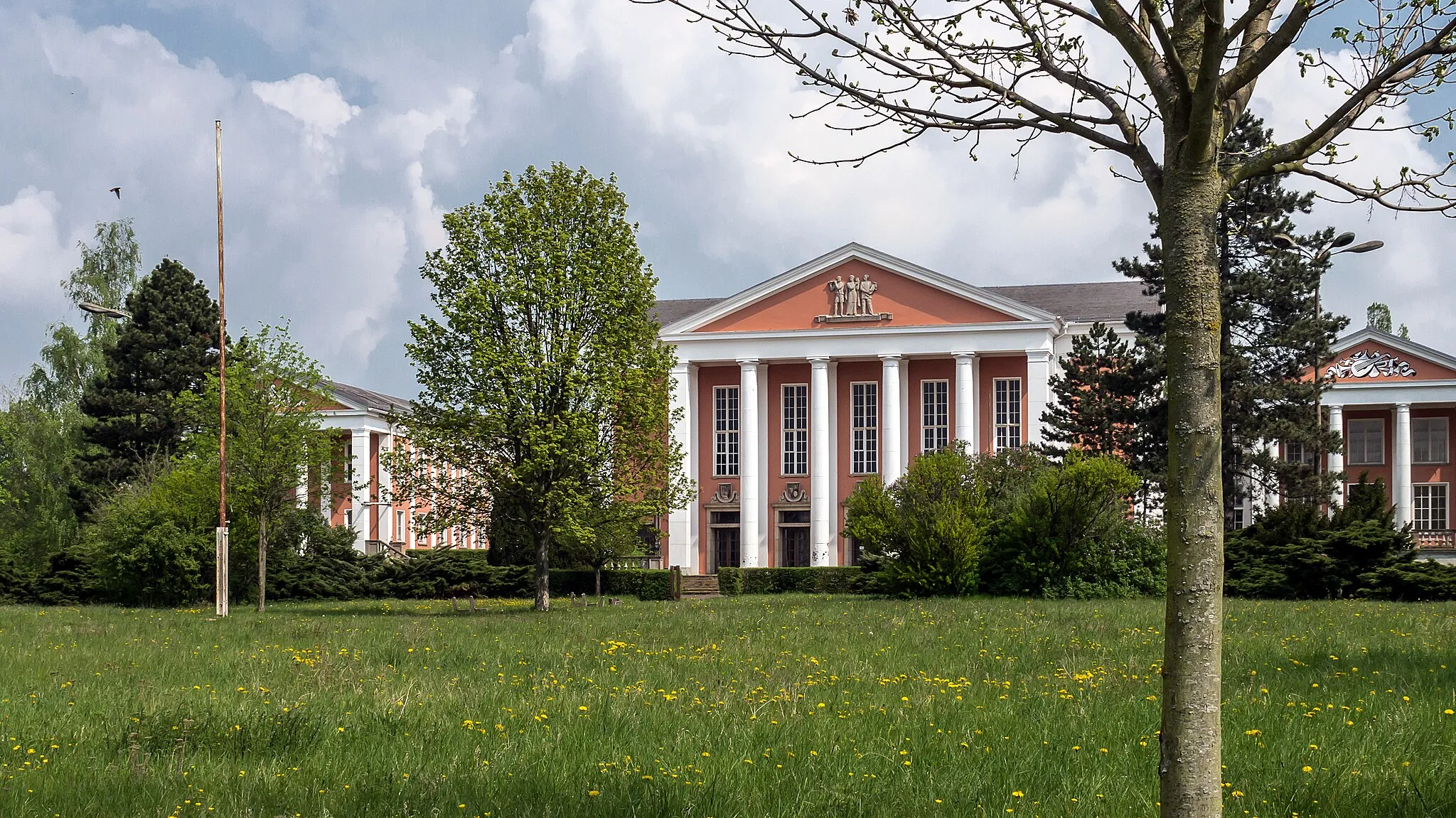
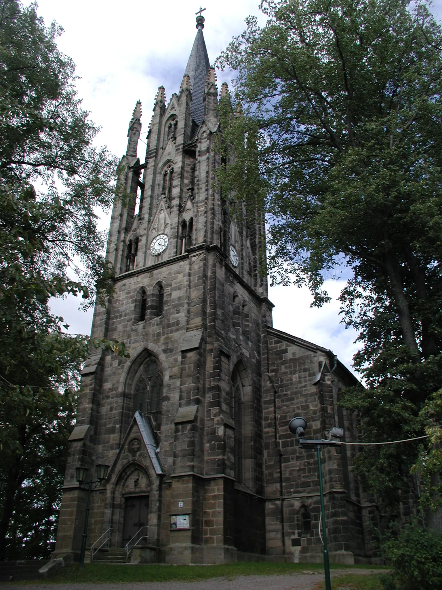
KönitzVillageKönitz, located at 28 kilometers, is known for its historical buildings and charming atmosphere.
36 km
36 km
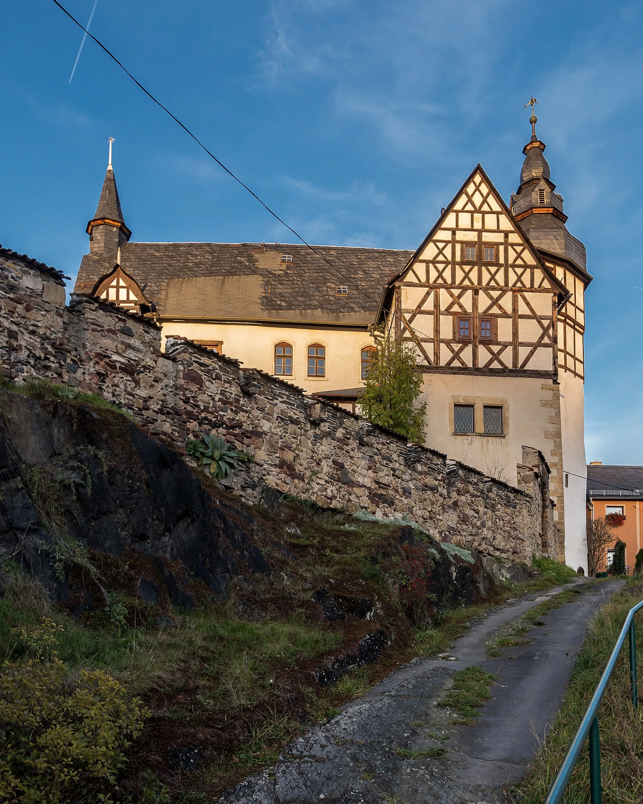
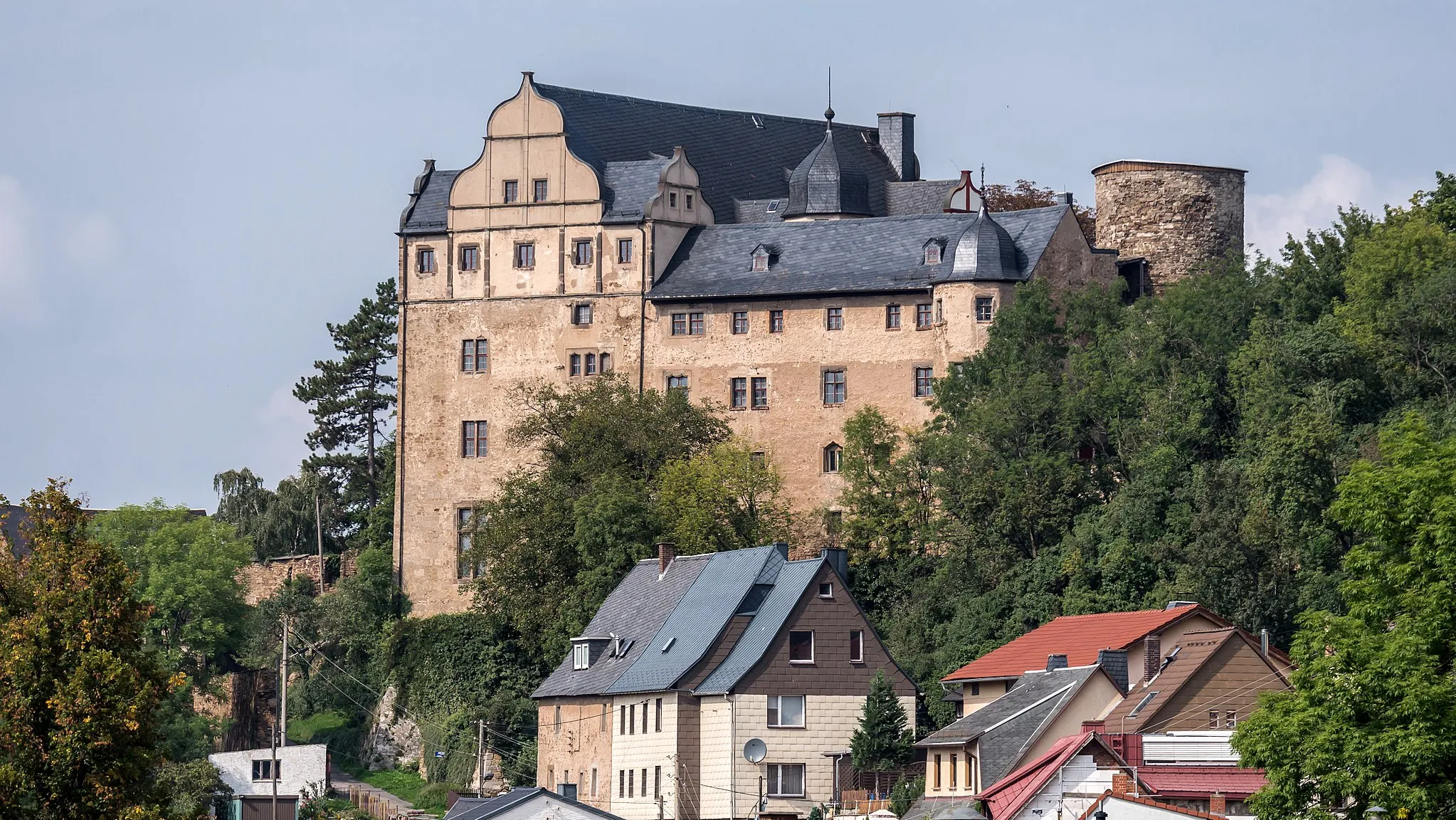
Kuttenberg489 mPeakKuttenberg offers breathtaking views and a pleasant resting spot.
55 km
55 km
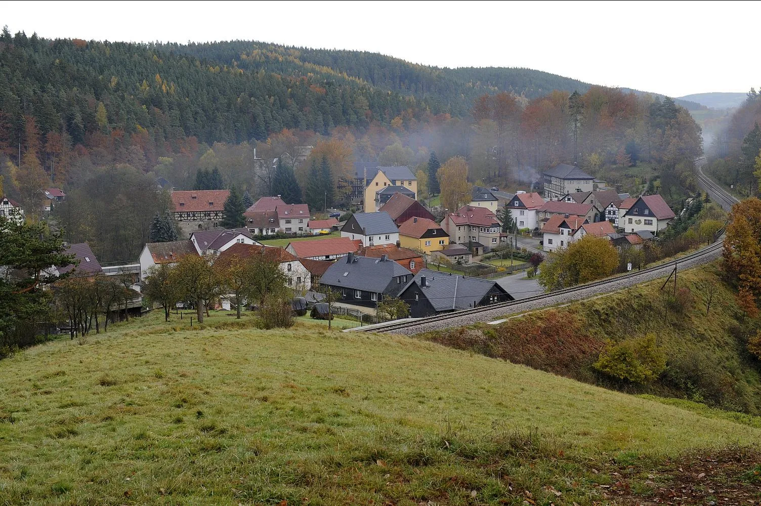
LückenmühleVillageLückenmühle is a small village with beautiful natural surroundings.
70 km
70 km
Großer Mittelberg547 mPeakGroßer Mittelberg rewards cyclists with a panoramic view that is truly majestic.
80 km
80 km
UnterloquitzVillageUnterloquitz provides awe-inspiring vistas and a peaceful ambiance.
92 km
92 km
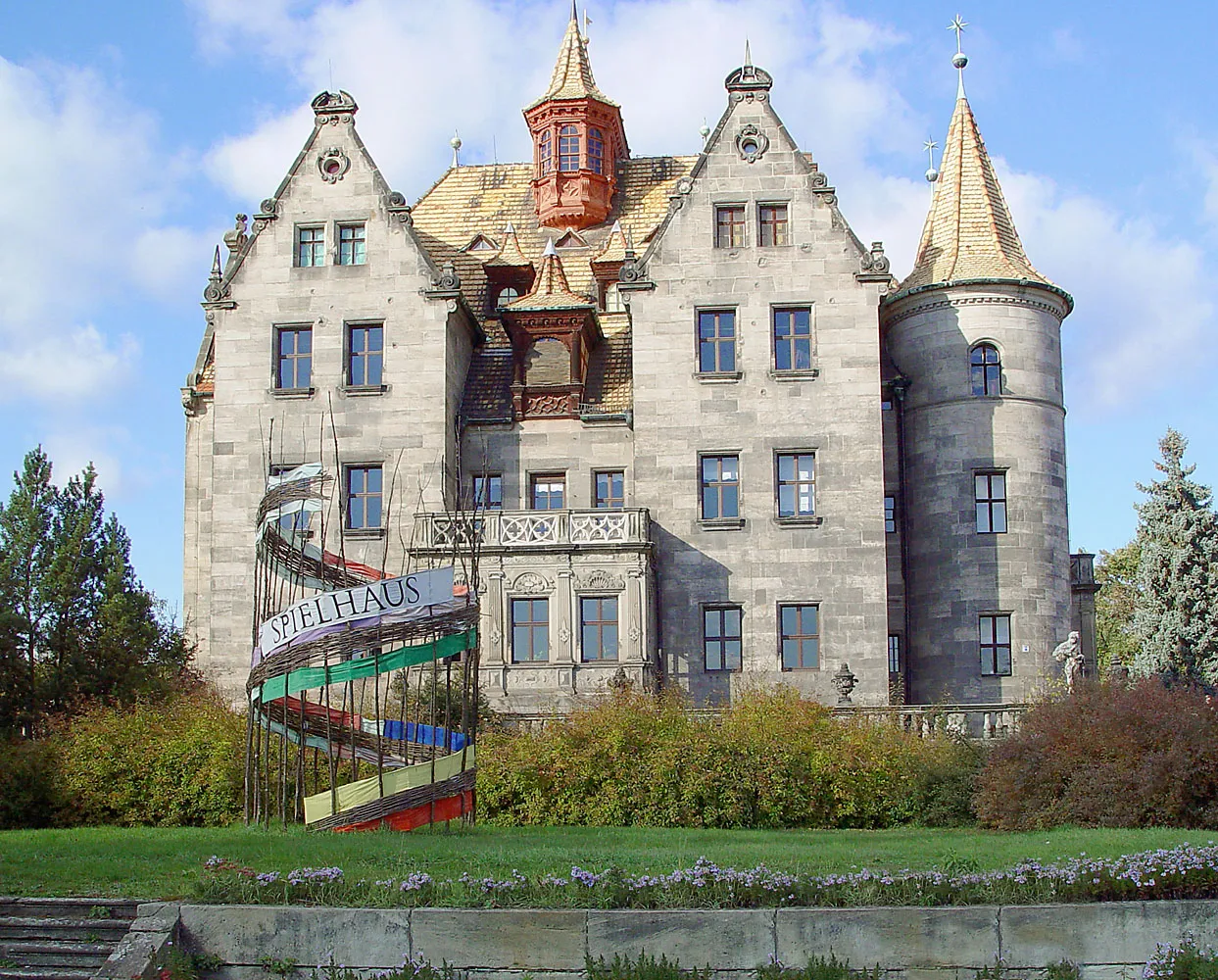
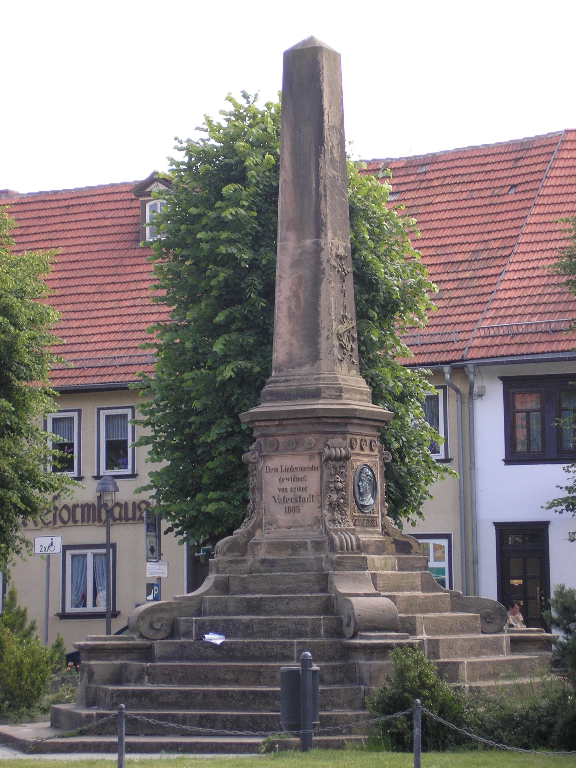
Saalfeld, Beulwitzer StraßeAttractionSaalfeld's Beulwitzer Straße showcases architectural beauty and historical significance.
94 km
94 km
Obere Höhe324 mPeakObere Höhe, located at 94 kilometers, offers a stunning panoramic view that will take your breath away.
99 km
99 km
Finish: Bad Blankenburg City centerBad Blankenburg: Exploring the cycling paths of Bad Blankenburg
Cycling routes from Bad Blankenburg:
Cycling routes nearby: