Nägelstedt - Henningsleben Gravel Tour
A gravel cycling route starting from Bad Langensalza
Experience the tranquil beauty of Nägelstedt and Henningsleben
Map
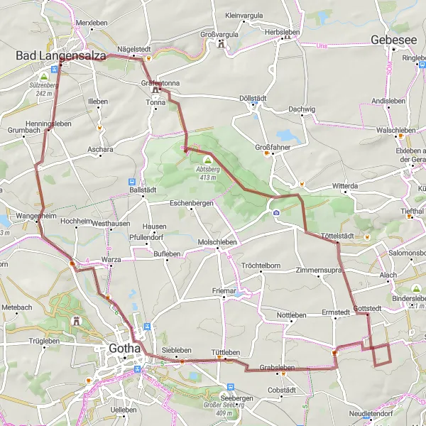
Immerse yourself in the rustic charm of Nägelstedt and Henningsleben as you cycle through tranquil gravel paths. With a total distance of 76 kilometers and an ascent of 550 meters, this route provides ample opportunities to explore the idyllic countryside. Highlights include the historic village of Tüttleben and the picturesque Sankt Peter.
gravel
76 km
550 m
Tough
Route profile
Highlights on the route
0 km
0 km
Start: Bad Langensalza City centerBad Langensalza: Cycling-friendly area with notable landmarks and scenic routes.
Bad Langensalza is a locality located in the Thüringen region of Germany. From a cyclist's perspective, the area offers various cycling routes suitable for both leisurely rides and more challenging rides. The roads are generally in good condition, making it suitable for road cycling. In the surrounding region, there are several notable cycling spots, including the Kyffhäuser Mountain, which features a challenging climb and beautiful views. Bad Langensalza is also known for its gardens and parks, making it a pleasant destination for cycling enthusiasts. Overall, Bad Langensalza is a cycling-friendly area with scenic routes and interesting landmarks.4 km
4 km
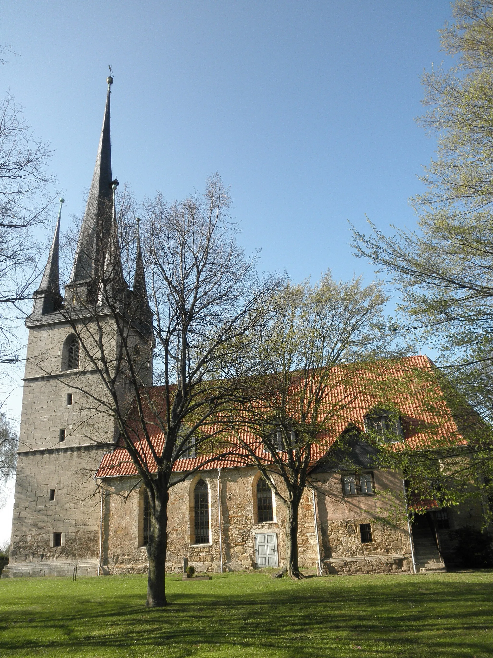
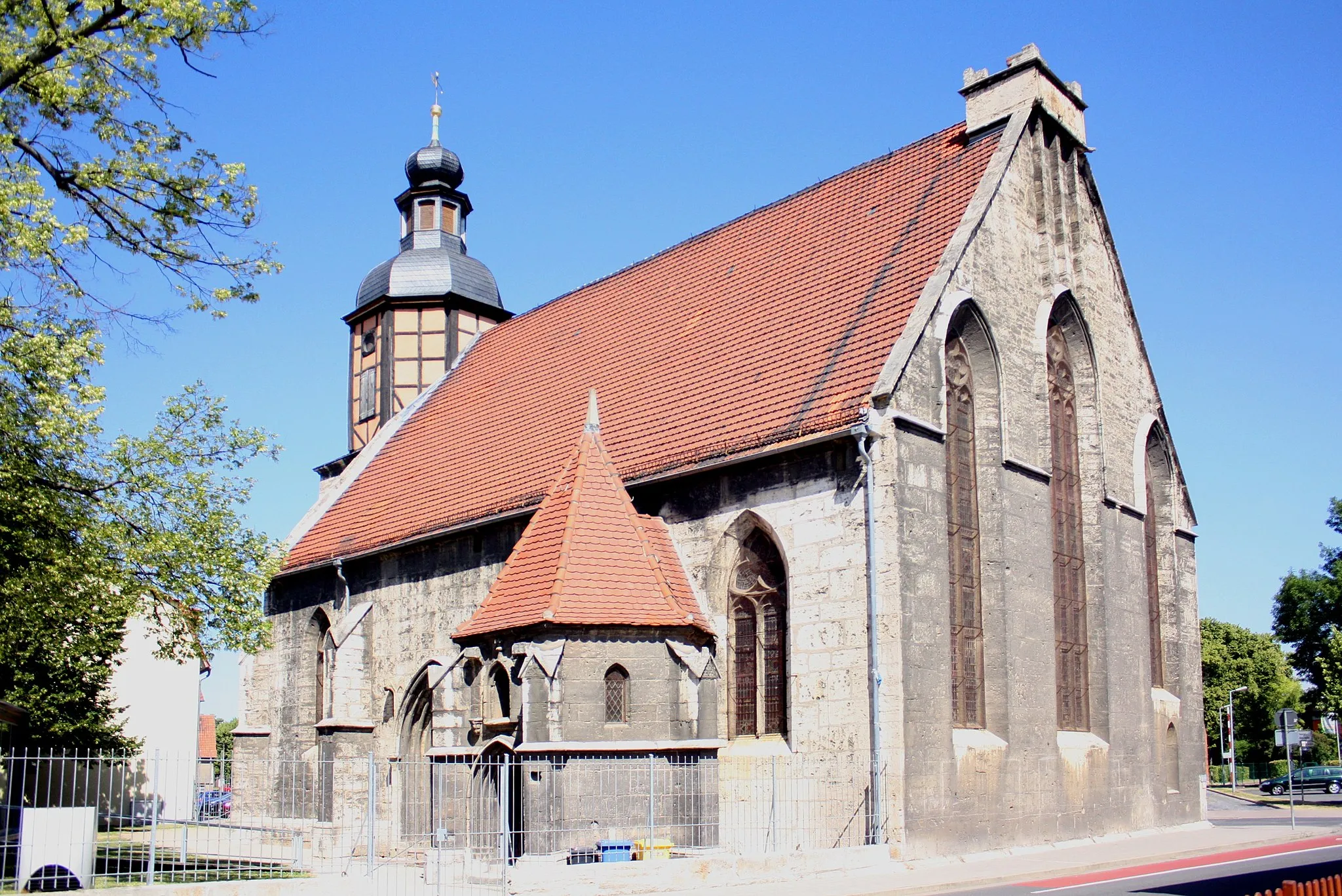
NägelstedtVillageDiscover Nägelstedt, a village known for its peaceful atmosphere and beautiful old barns and half-timbered houses.
14 km
14 km
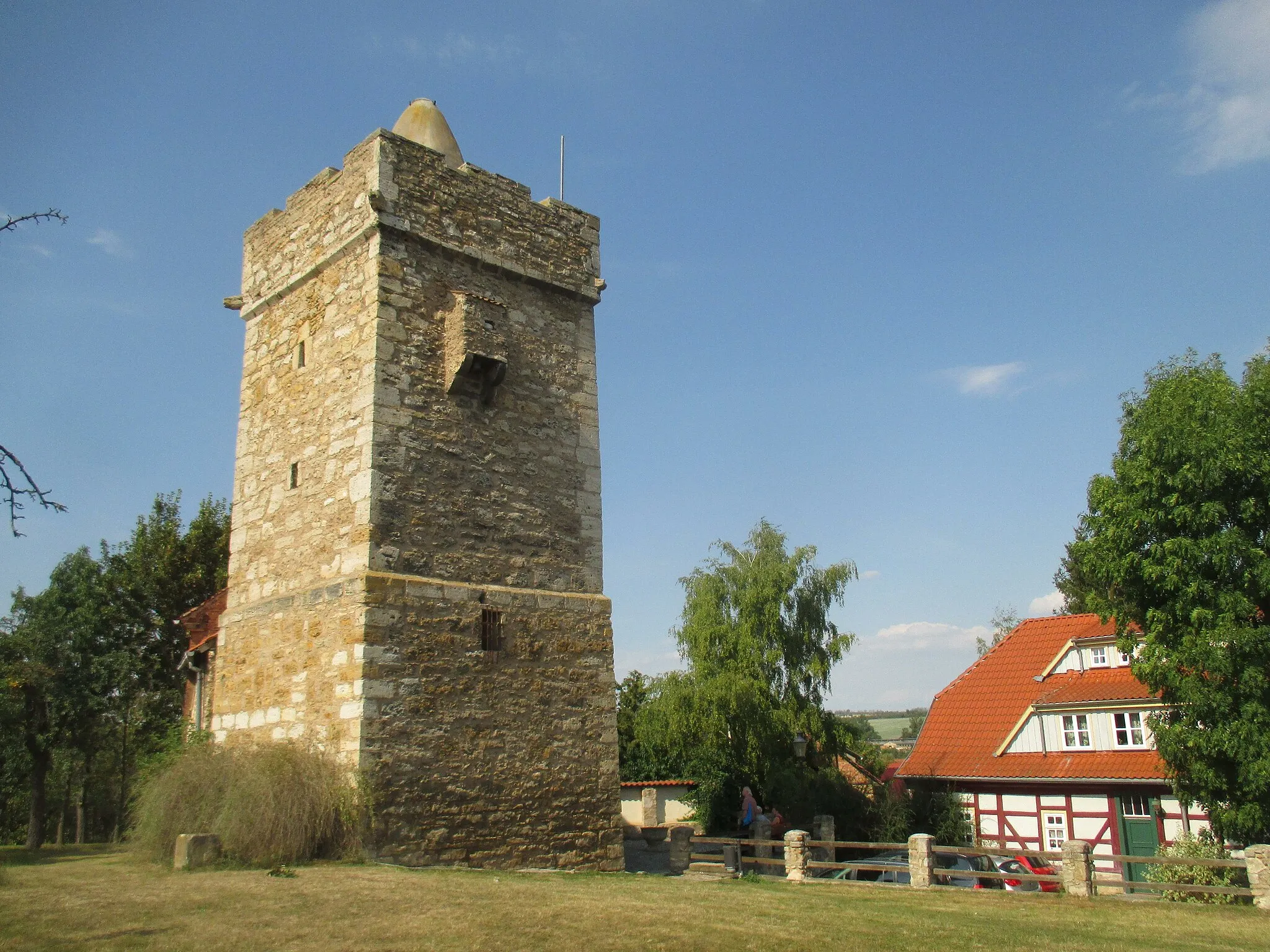
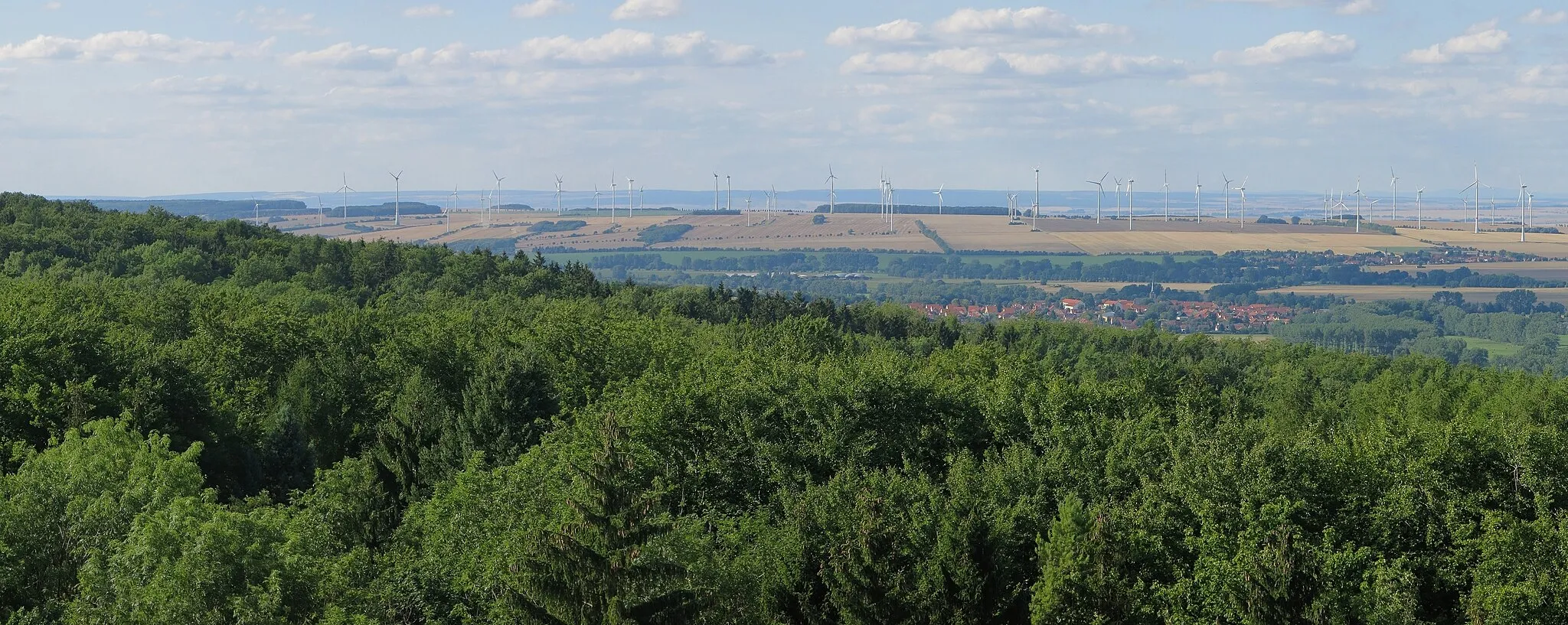
Abtsberg413 mPeakClimb the Abtsberg and enjoy stunning views of the surrounding meadows and vineyards.
22 km
22 km
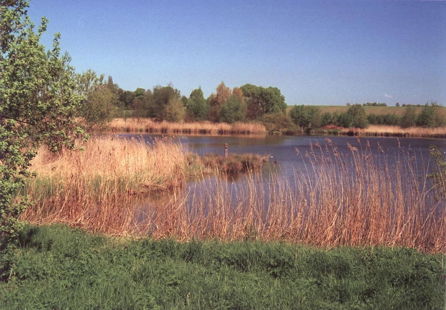
BienstädtVillageMake sure to visit Bienstädt, a charming village with a rich history and beautiful landscapes.
31 km
31 km
Gottstedter Höhe299 mPeakStop at Gotstedter Höhe to enjoy undulating paths through lush forests and breathtaking views.
48 km
48 km
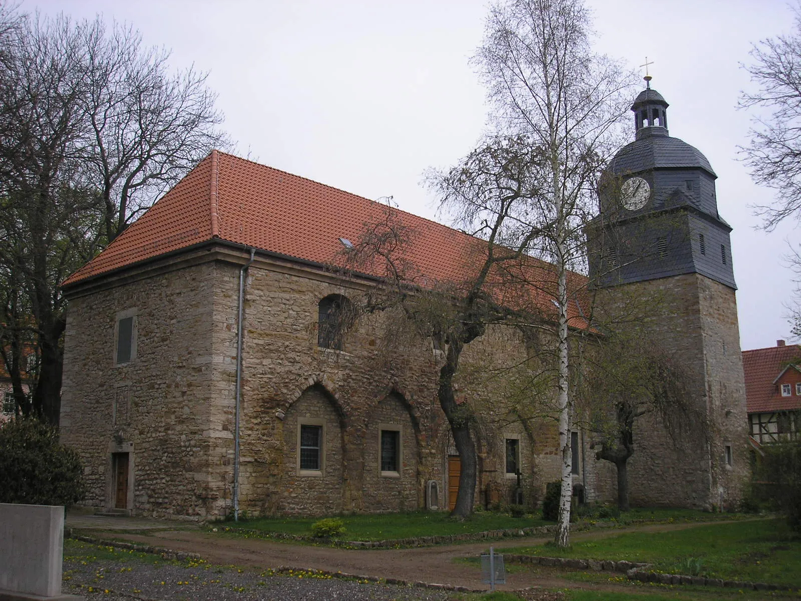
TüttlebenVillageExplore Tüttleben, a scenic village with well-preserved timber-framed houses and tranquil gardens.
50 km
50 km
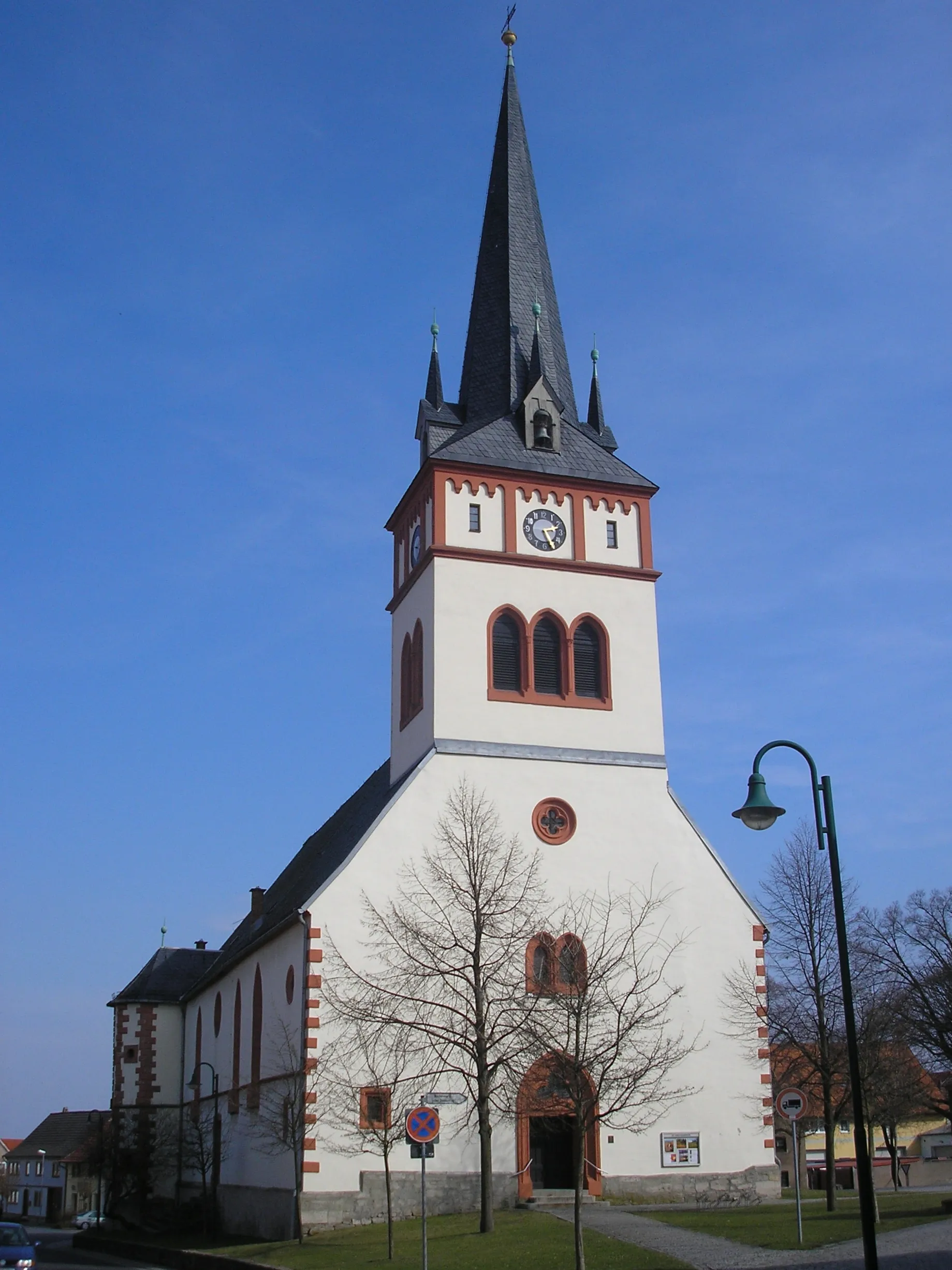
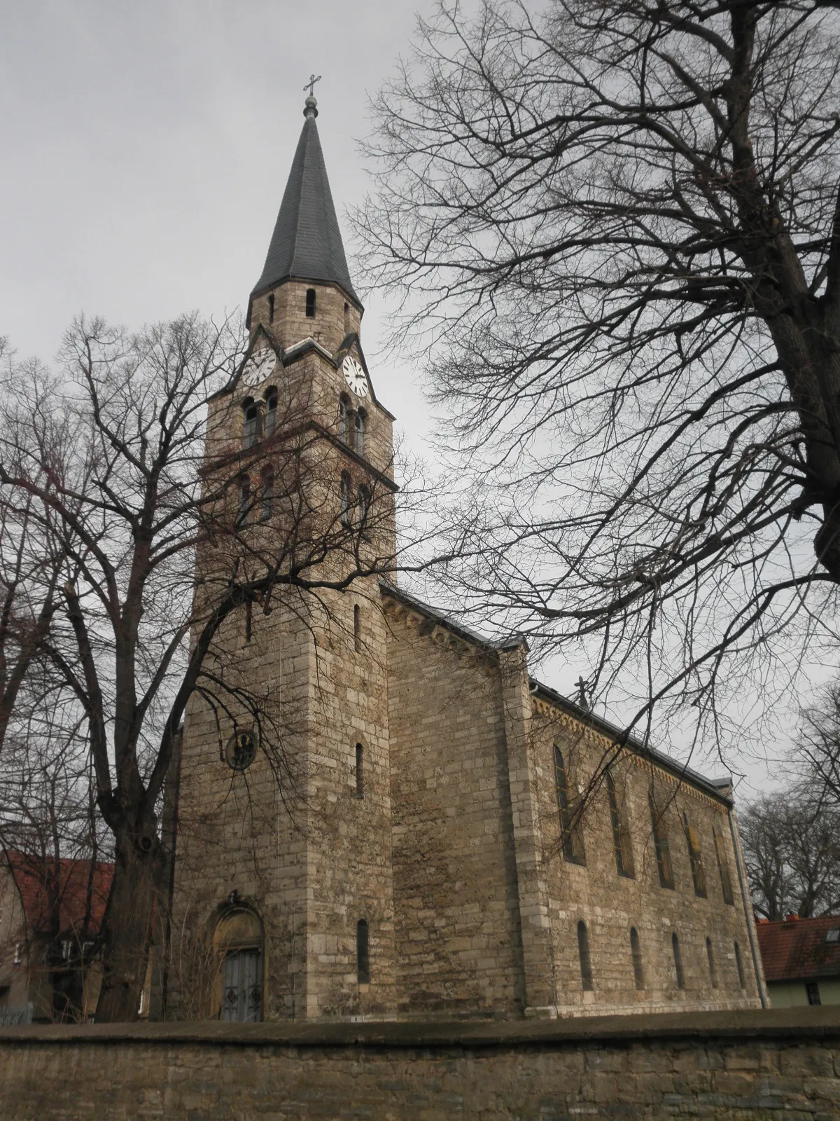
Sankt Peter309 mPeakVisit Sankt Peter and admire its historic church and stunning views of the Thuringian countryside.
61 km
61 km
GoldbachVillageCycle through Goldbach, a village with beautiful manor houses and traditional Thuringian architecture.
63 km
63 km
Steinbühl267 mPeakRide through the peaceful village of Steinbühl, surrounded by rolling hills and meandering streams.
71 km
71 km
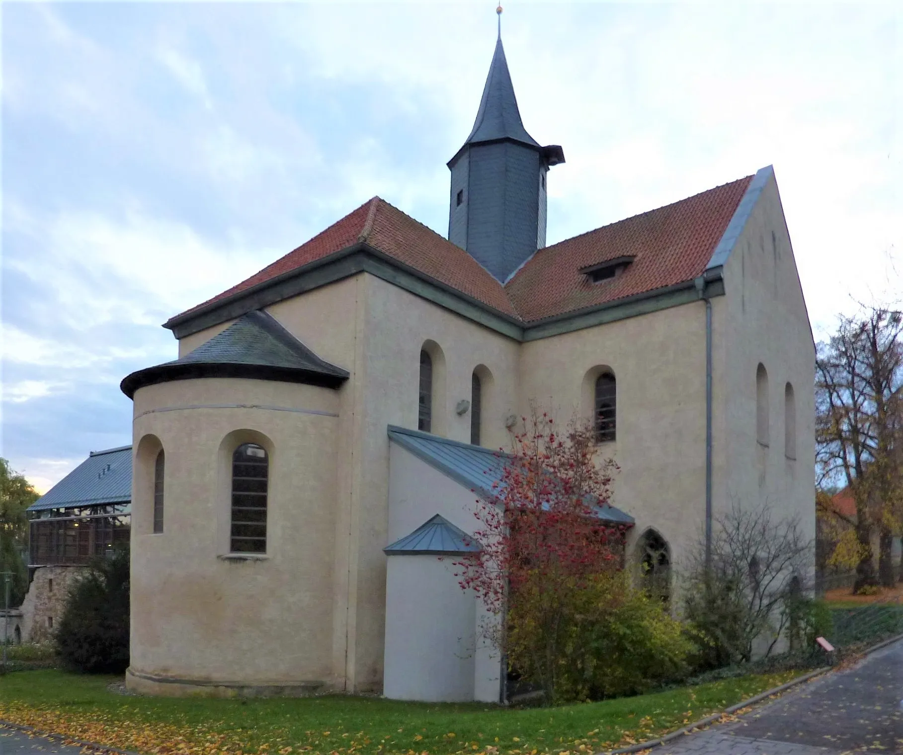
HenningslebenVillagePass through Henningsleben, a picturesque village with charming half-timbered houses and well-tended gardens.
76 km
76 km
Finish: Bad Langensalza City centerBad Langensalza: Cycling-friendly area with notable landmarks and scenic routes.
Cycling routes from Bad Langensalza:
Cycling routes nearby: