Tonna - Sonnenburg Loop
A gravel cycling route starting from Bad Langensalza
Bike through the picturesque villages of Tonna and Sonneborn
Map
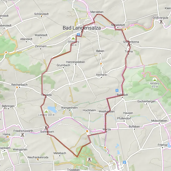
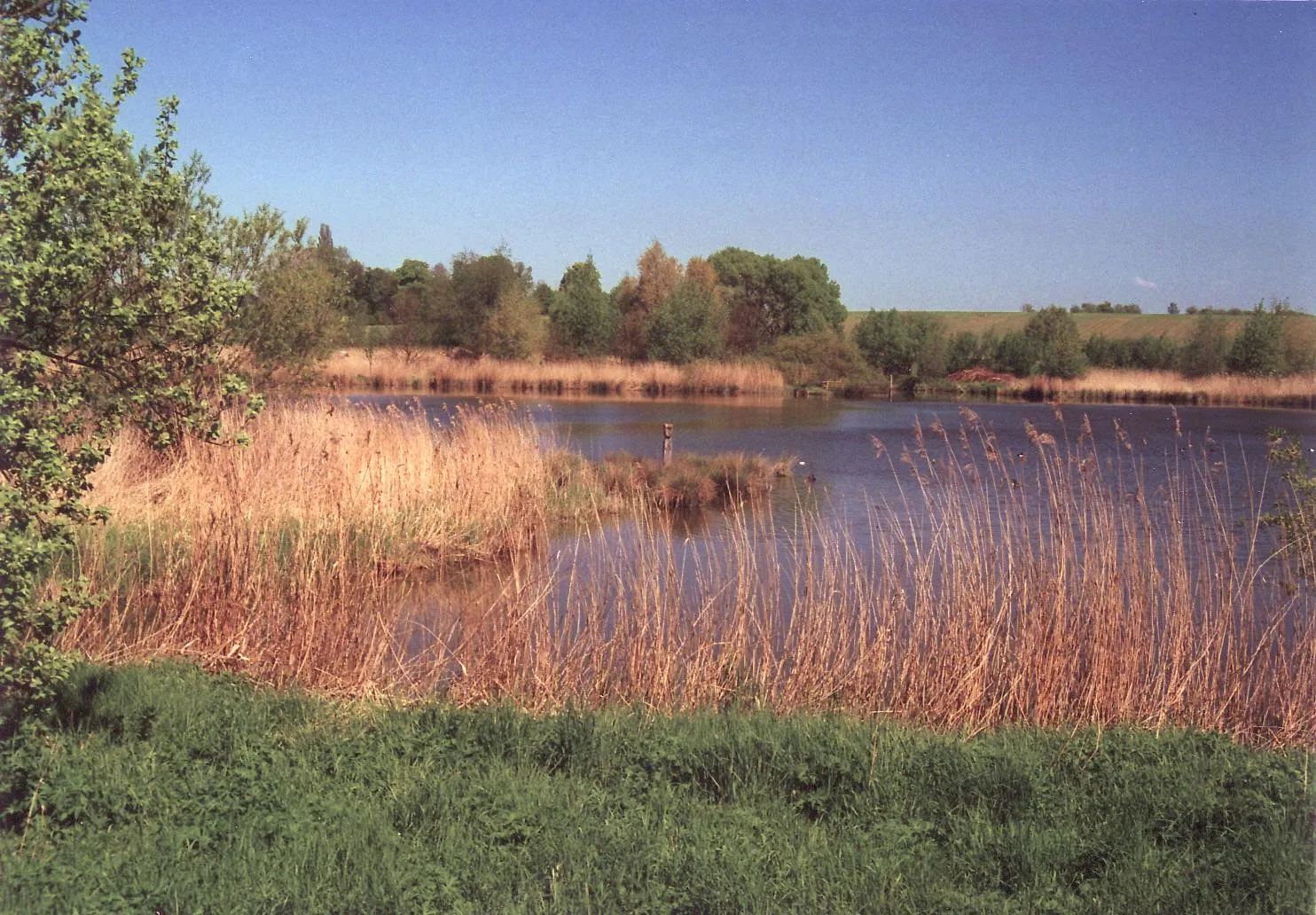
Experience the beauty of the small villages in the Tonna and Sonneborn region on this gravel cycling route. With a moderate ascent of 503 meters and a distance of 50 kilometers, this route is suitable for well-trained amateurs. Enjoy the country landscapes and discover highlights such as the historic town of Bad Langensalza.
gravel
50 km
503 m
Chill
Route profile
Highlights on the route
0 km
0 km
Start: Merxleben Village centerBad Langensalza: Cycling-friendly area with notable landmarks and scenic routes.
Bad Langensalza is a locality located in the Thüringen region of Germany. From a cyclist's perspective, the area offers various cycling routes suitable for both leisurely rides and more challenging rides. The roads are generally in good condition, making it suitable for road cycling. In the surrounding region, there are several notable cycling spots, including the Kyffhäuser Mountain, which features a challenging climb and beautiful views. Bad Langensalza is also known for its gardens and parks, making it a pleasant destination for cycling enthusiasts. Overall, Bad Langensalza is a cycling-friendly area with scenic routes and interesting landmarks.7 km
7 km
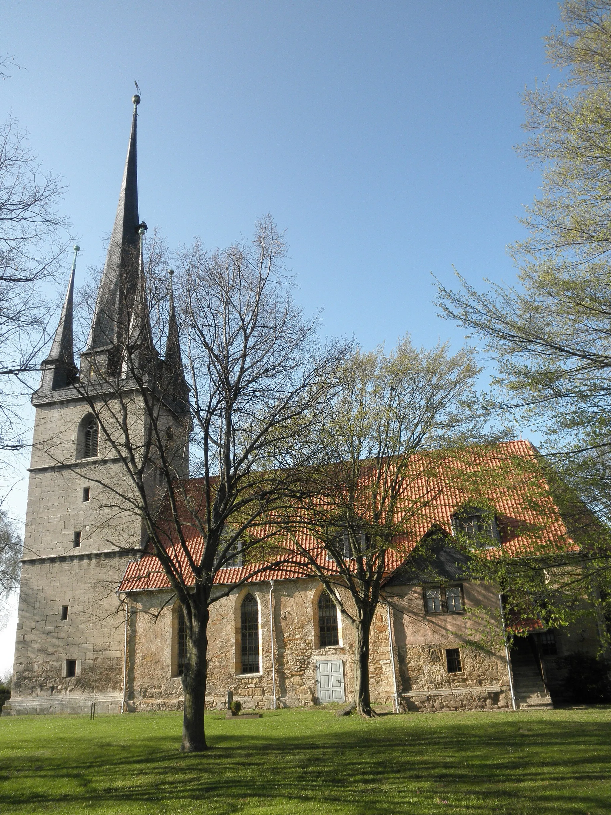
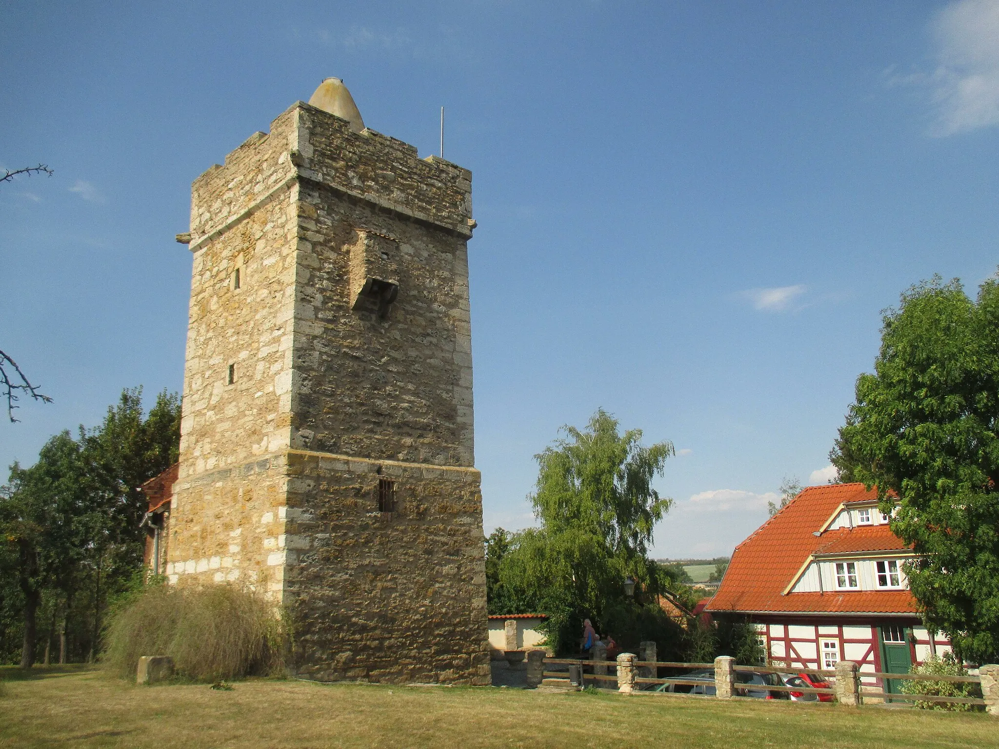
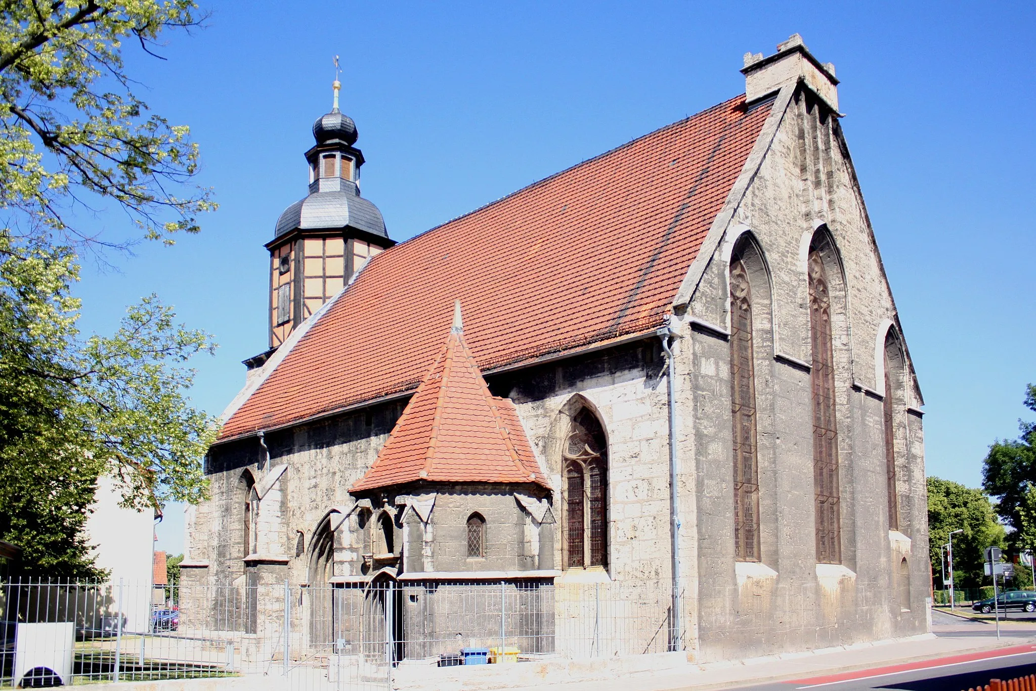
TonnaVillageExplore the charming village of Tonna, known for its traditional half-timbered houses and charming streets.
19 km
19 km
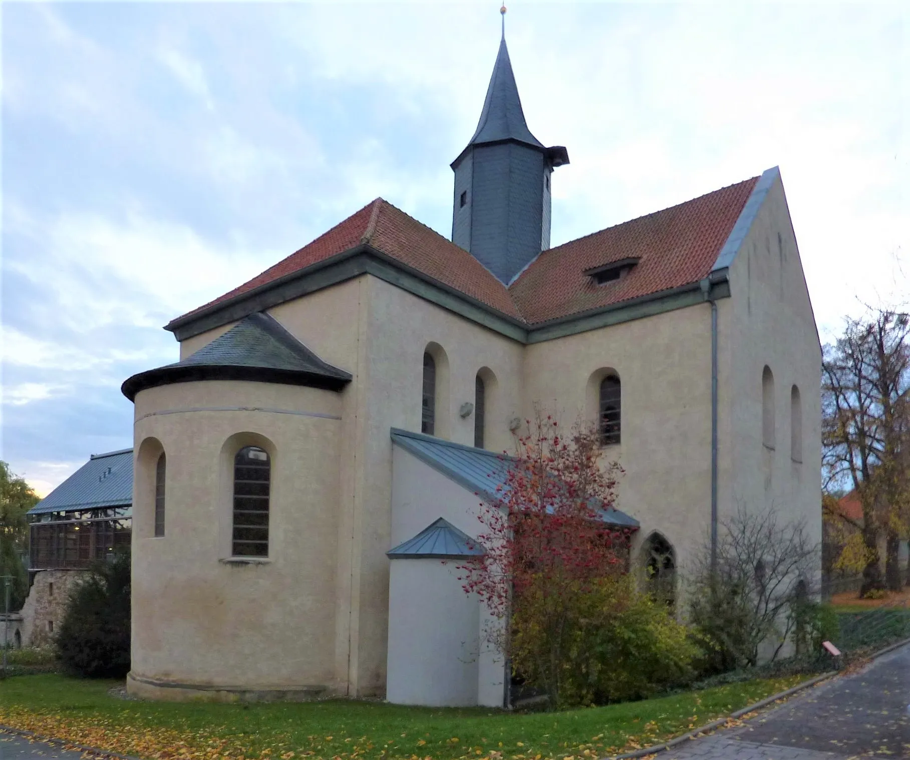
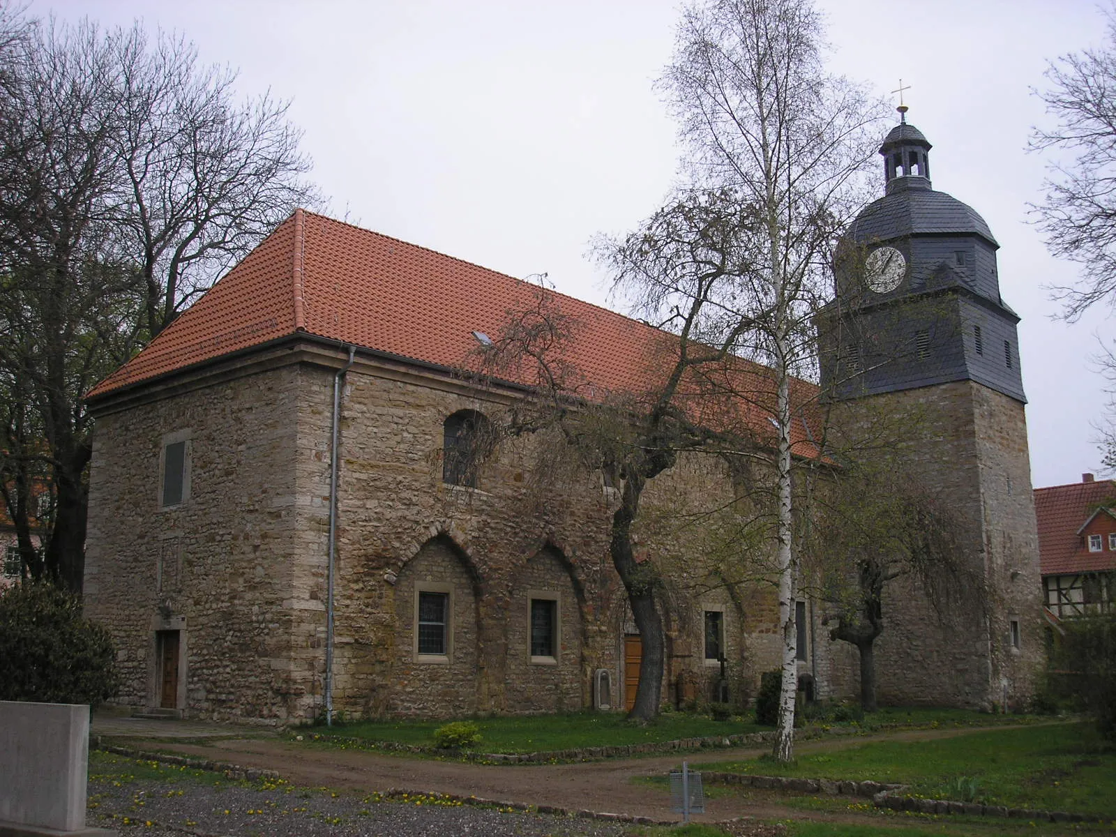
WarzaVillageVisit Warza, a small village with picturesque views and a rich history.
30 km
30 km
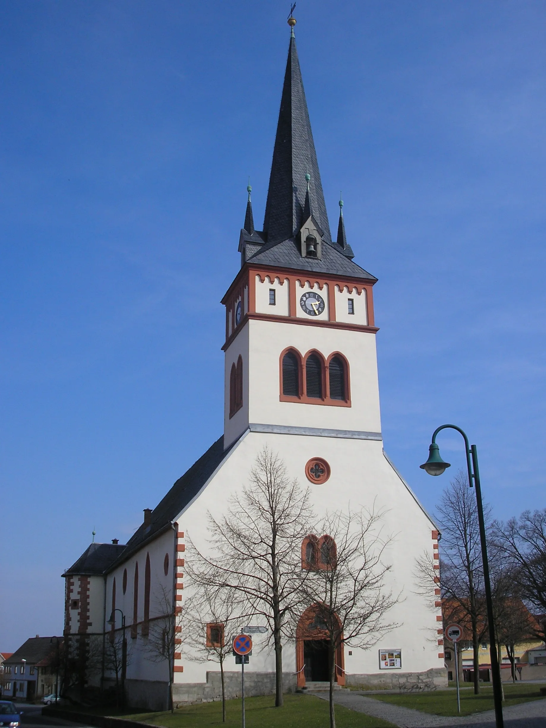
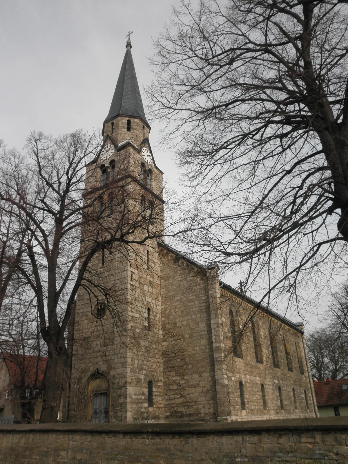
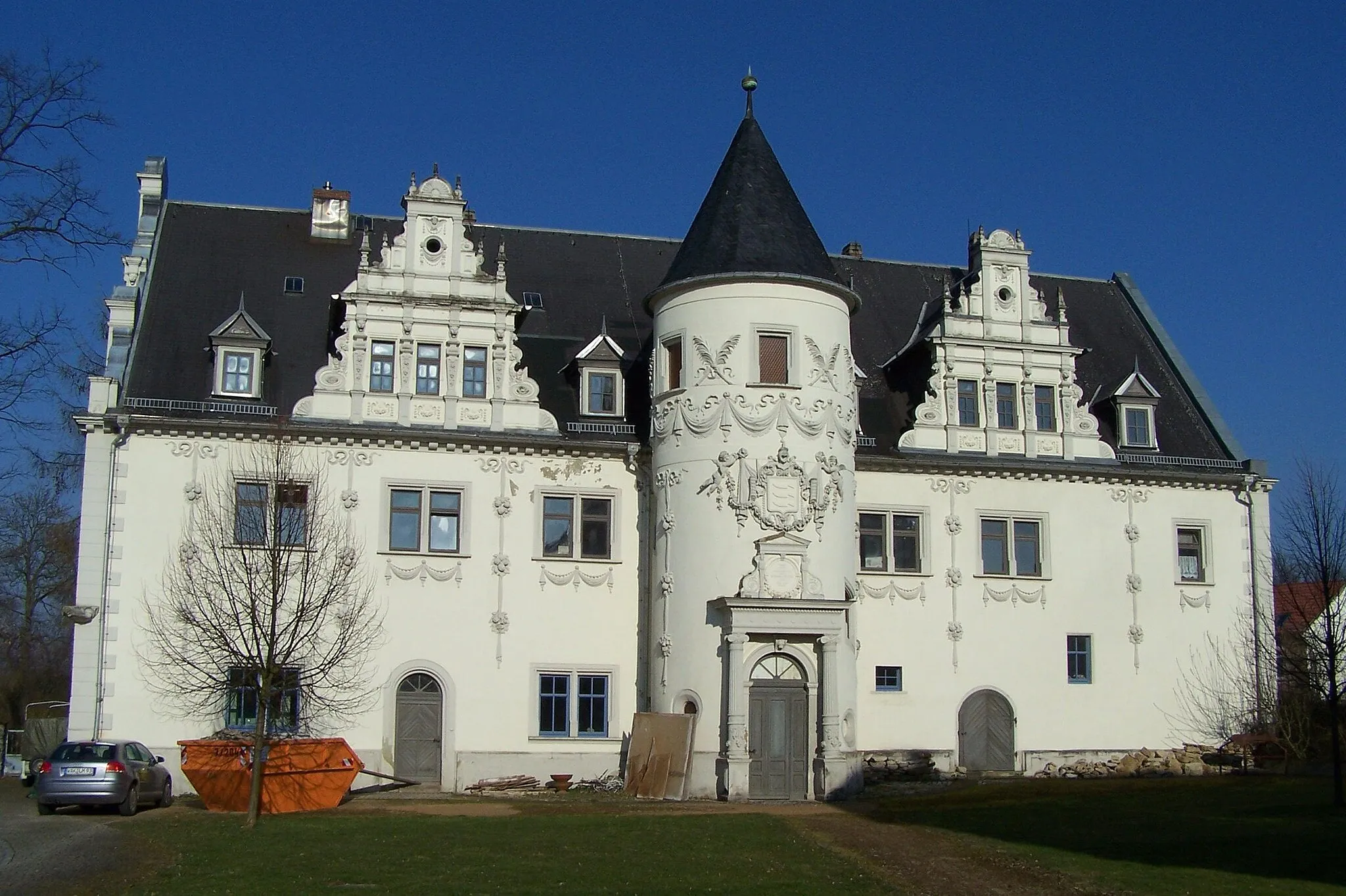
SonnebornVillagePass by Sonneborn, a charming village famous for its vineyards and wine production.
33 km
33 km
Tüngedaer Höhe328 mPeakStop at the Tüngedaer Höhe, a popular viewpoint offering panoramic views of the surrounding countryside.
45 km
45 km
Sülzenberg242 mPeakClimb the Sülzenberg and enjoy breathtaking views of the Thuringian Forest.
47 km
47 km
Bad LangensalzaTownEnd your ride in Bad Langensalza, a historic town with beautiful architecture and lush green parks.
50 km
50 km
Finish: Merxleben Village centerBad Langensalza: Cycling-friendly area with notable landmarks and scenic routes.
Cycling routes from Bad Langensalza:
Cycling routes nearby: