Weißendiez Challenge: Ultimate Gravel Ride
A gravel cycling route starting from Bad Salzungen
Embark on the ultimate gravel ride, tackling the legendary Weißendiez climb
Map
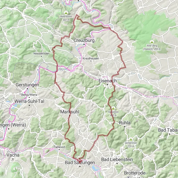
Prepare yourself for the ultimate gravel challenge on the Weißendiez route. With a distance of 100 kilometers and a challenging ascent of 1984 meters, this demanding course will push you to your limits. Encounter some of the region's most breathtaking landscapes and conquer thrilling climbs. Experience the unrivaled beauty of the Rotes Schloss and enjoy the warm hospitality of the local communities along the way.
gravel
100 km
1984 m
Savage
Route profile
Highlights on the route
0 km
0 km
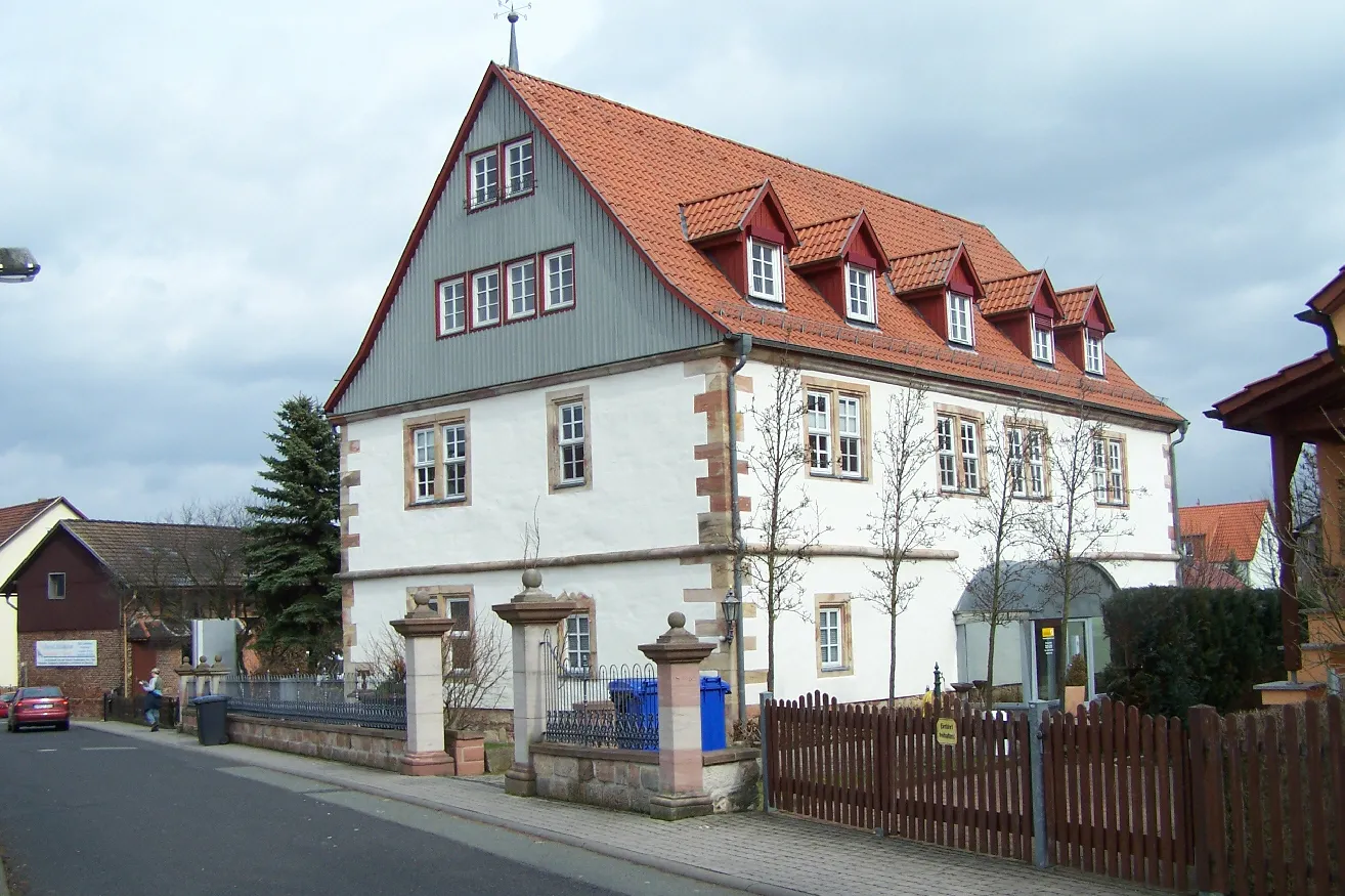
Start: Bad Salzungen City centerBad Salzungen: Scenic cycling in Bad Salzungen
Bad Salzungen, located in Thüringen, Germany, offers a decent cycling experience for road and gravel enthusiasts. The locality is characterized by rolling hills, forests, and charming towns, providing cyclists with picturesque routes to traverse. While not home to any famous cycling climbs, Bad Salzungen offers a combination of flat and hilly terrains suitable for various skill levels. This makes it an attractive destination for leisurely rides and exploration of the surrounding scenic landscapes. Cyclists visiting Bad Salzungen can also enjoy the town's wellness facilities and mineral salt baths, providing a relaxing experience after a day on the bike.9 km
9 km
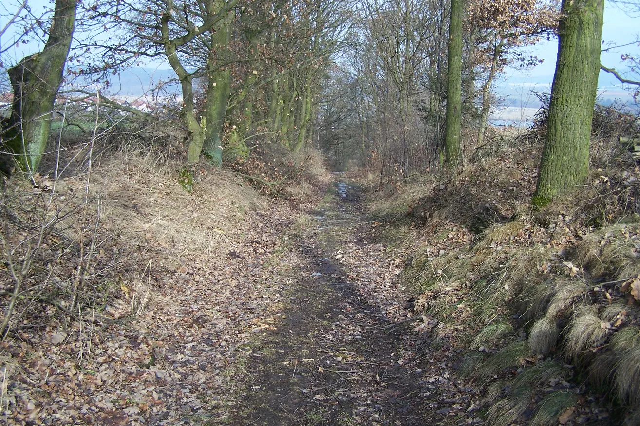
WeißendiezHamletTackle the relentless ascent of Weißendiez, a legendary climb that attracts cyclists from across the country.
16 km
16 km
Mordberg353 mPeakConquer the Mordberg, a challenging climb favored by elite cyclists for its steep gradients and stunning views at the summit.
38 km
38 km
Schalkenberg258 mPeakRide through the scenic Schalkenberg, a magical forested area abounding in wildlife and picturesque trails.
41 km
41 km
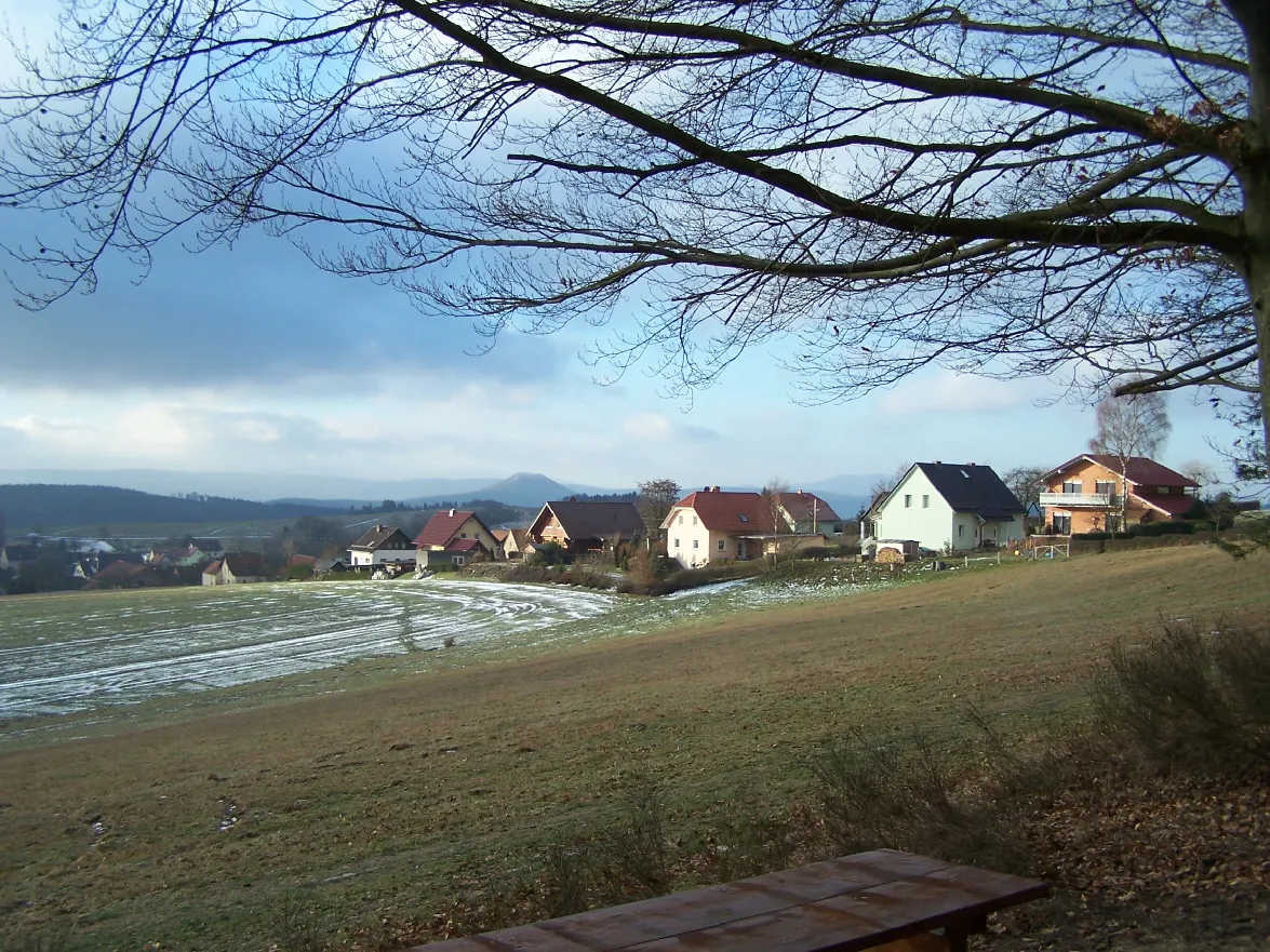
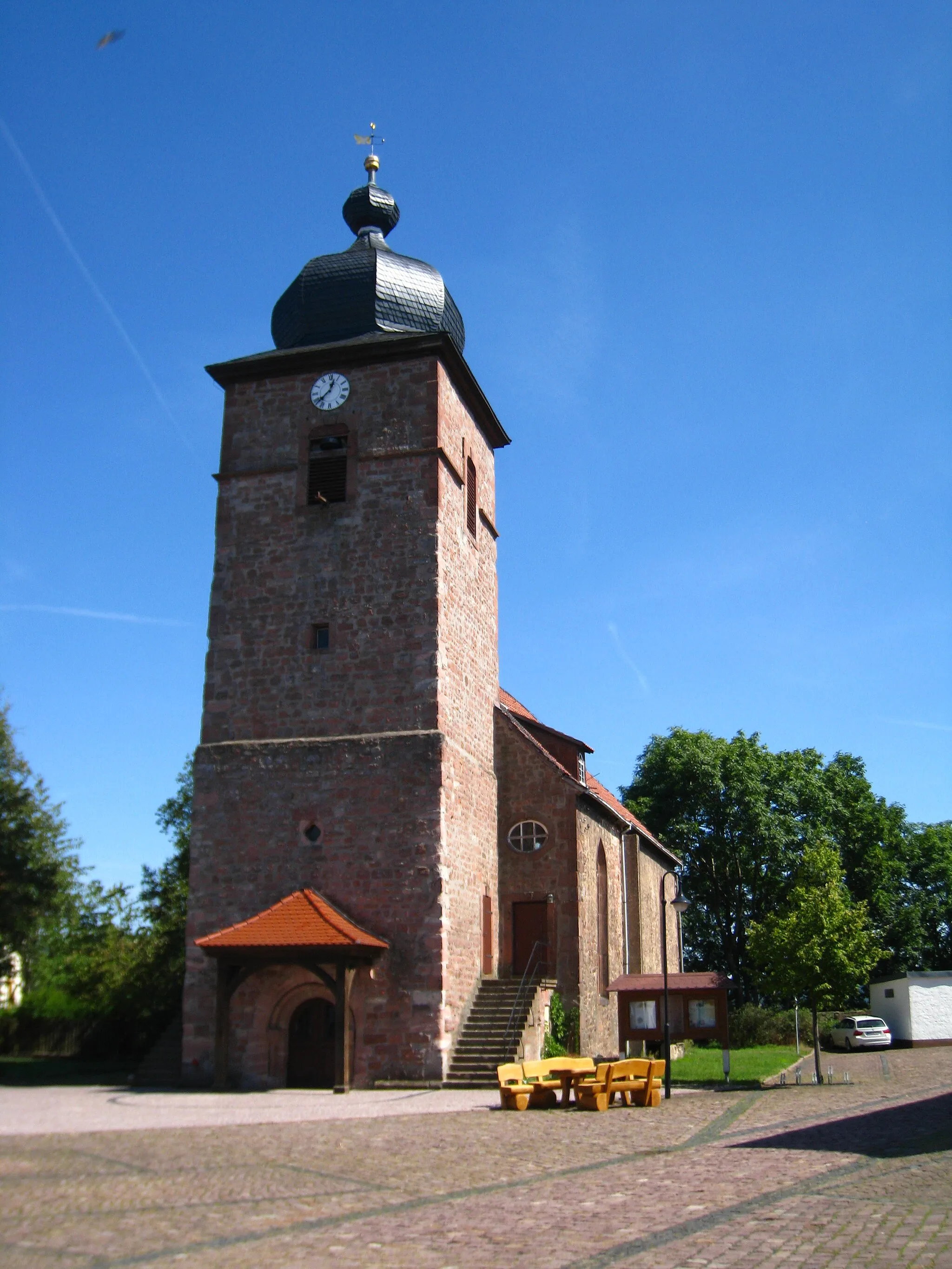
VolterodaVillageStop at Volteroda, a quaint village with charming half-timbered houses and a rich agricultural heritage.
56 km
56 km
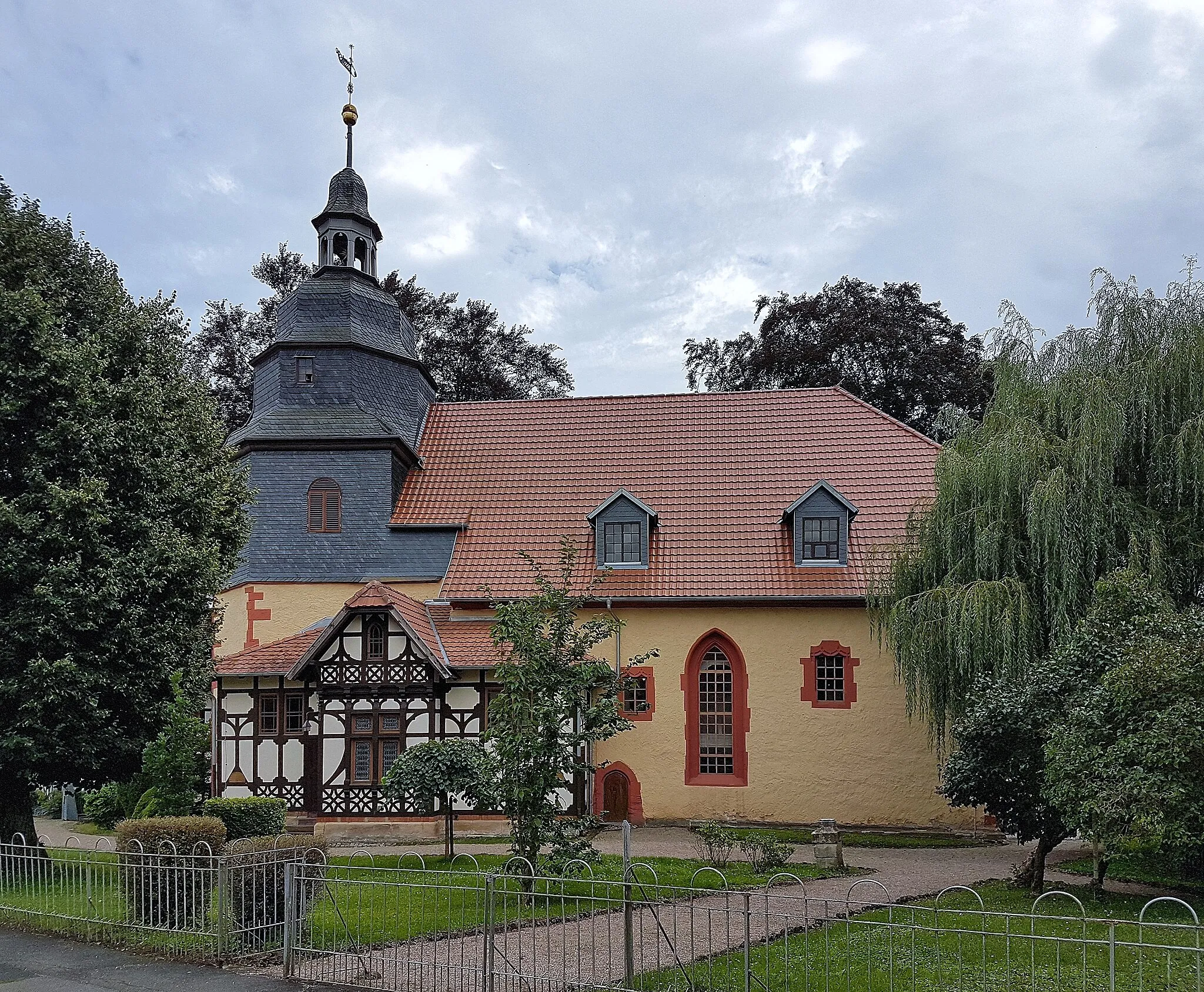
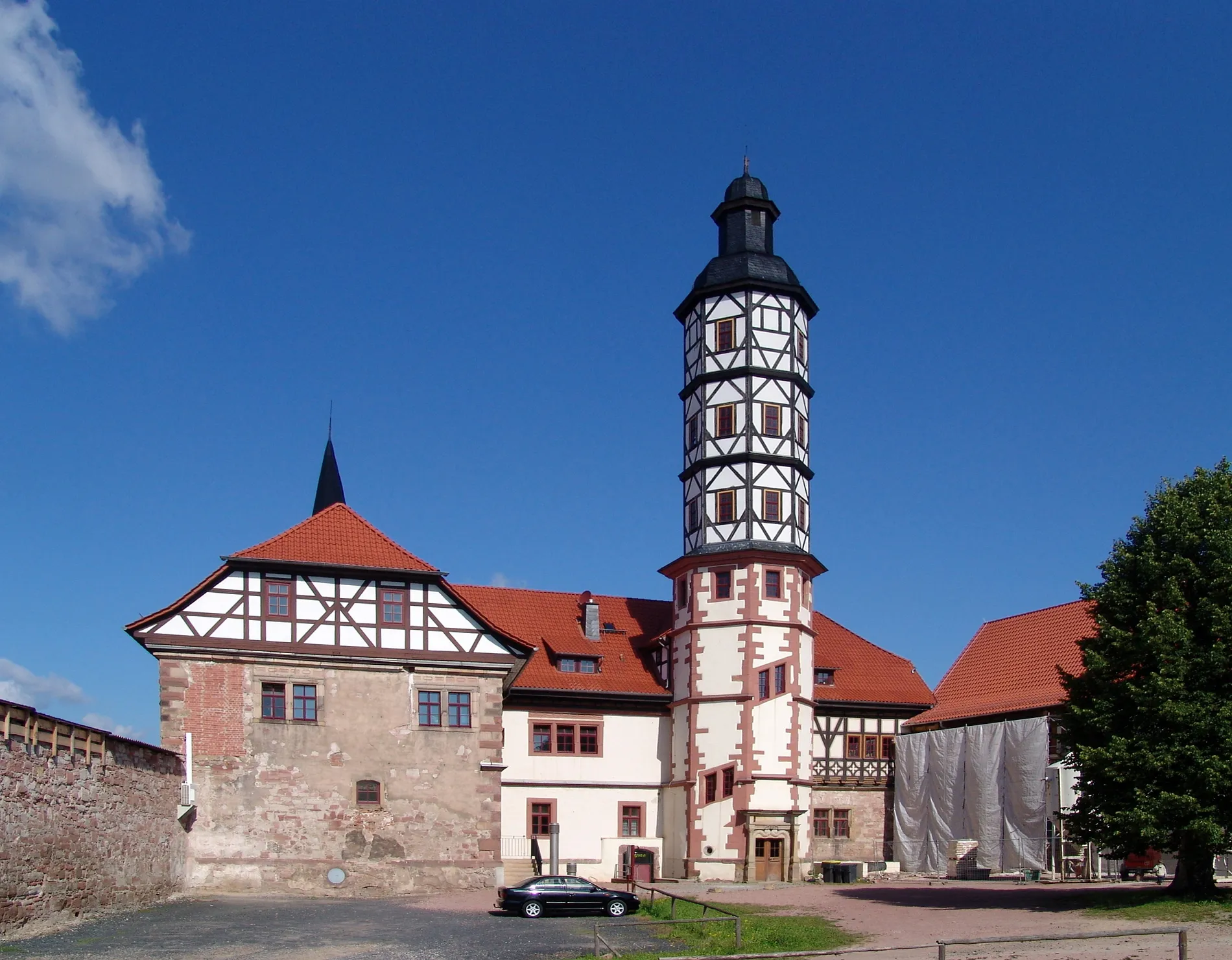
Rotes SchlossCastleAdmire the architectural masterpiece of the Rotes Schloss, a historic castle surrounded by lush gardens and stunning vistas.
63 km
63 km
Reinberg345 mPeakDiscover the beauty of Reinberg, a small village known for its idyllic landscapes and friendly local culture.
70 km
70 km
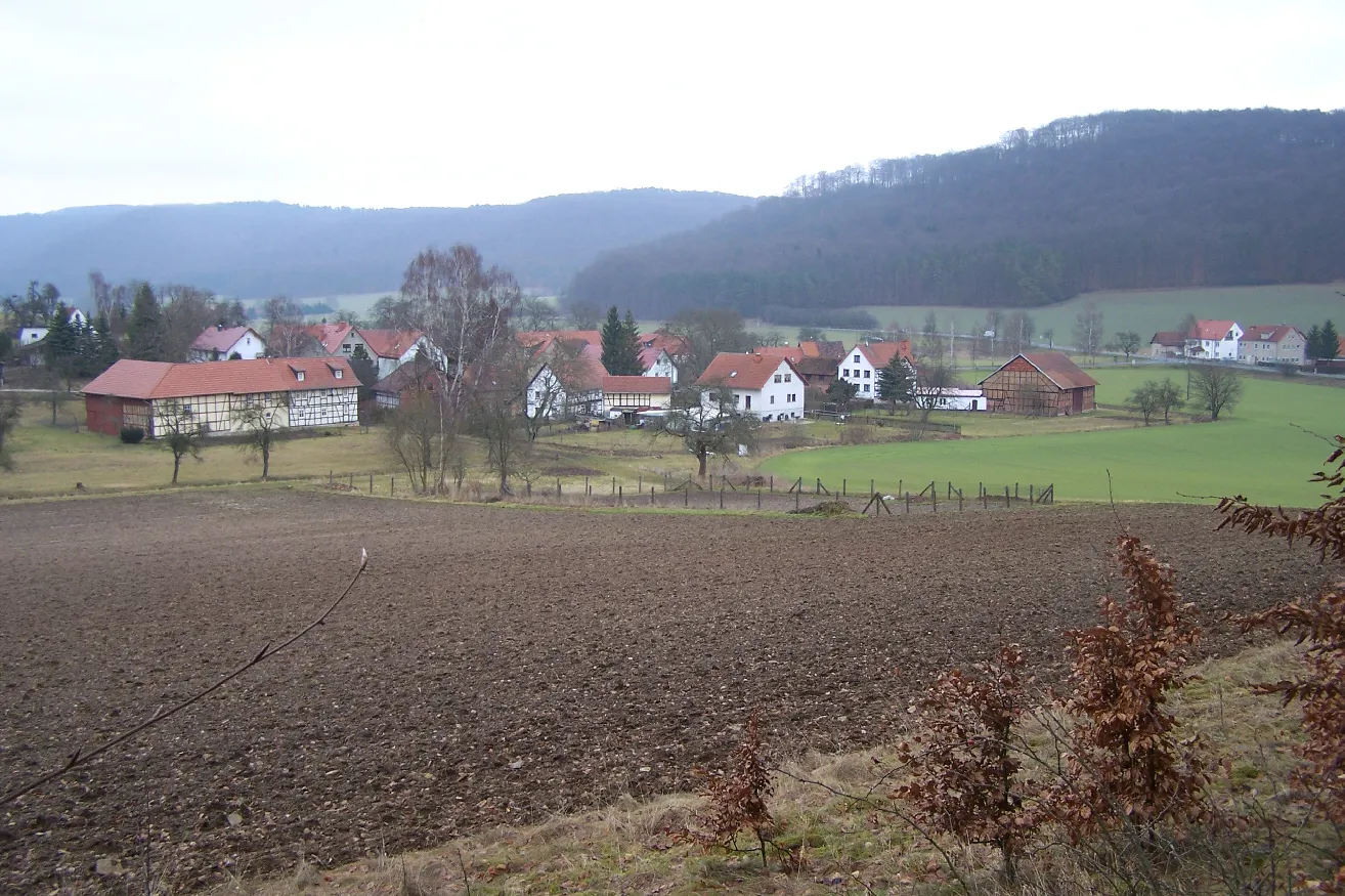
DürrerhofHamletJourney through Dürrerhof and experience the unique charm of this traditional Thuringian farming community.
84 km
84 km
Ascherbrück553 mPeakUnleash your cycling prowess as you conquer Ascherbrück, a challenging climb with stunning views at the top.
91 km
91 km
Spitzberg364 mPeakOvercome the formidable Spitzberg and be rewarded with breathtaking panoramic views.
99 km
99 km
Gradierwerk Bad SalzungenAttractionEnd your adventure at Gradierwerk Bad Salzungen, a fascinating saltworks facility that showcases the region's rich salt mining history.
100 km
100 km
Finish: Bad Salzungen City centerBad Salzungen: Scenic cycling in Bad Salzungen
Cycling routes from Bad Salzungen:
Cycling routes nearby: