Kaiseroda Gravel Adventure
A gravel cycling route starting from Bad Salzungen
Discover the scenic Kaiseroda region on a thrilling gravel ride
Map
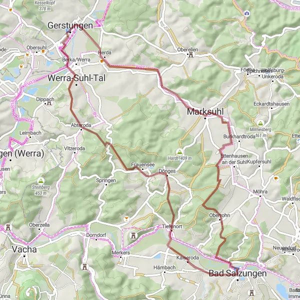
This challenging gravel route takes you through the picturesque Kaiseroda region, known for its stunning landscapes and winding paths. With a total ascent of 671 meters, the route covers a distance of 58 kilometers. Get ready for an exhilarating ride filled with gravel sections and beautiful views.
gravel
58 km
671 m
Tough
Route profile
Highlights on the route
0 km
0 km
Start: Bad Salzungen City centerBad Salzungen: Scenic cycling in Bad Salzungen
Bad Salzungen, located in Thüringen, Germany, offers a decent cycling experience for road and gravel enthusiasts. The locality is characterized by rolling hills, forests, and charming towns, providing cyclists with picturesque routes to traverse. While not home to any famous cycling climbs, Bad Salzungen offers a combination of flat and hilly terrains suitable for various skill levels. This makes it an attractive destination for leisurely rides and exploration of the surrounding scenic landscapes. Cyclists visiting Bad Salzungen can also enjoy the town's wellness facilities and mineral salt baths, providing a relaxing experience after a day on the bike.3 km
3 km
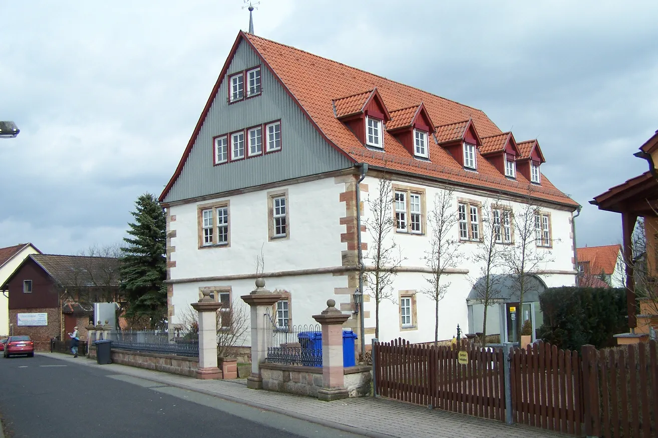
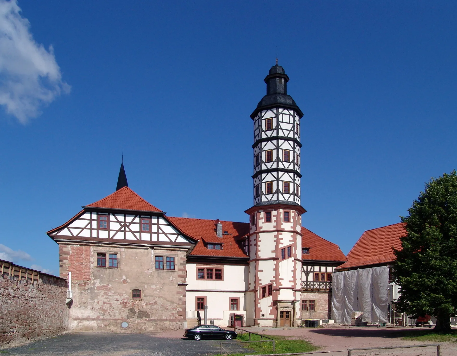
KaiserodaVillageExplore the historic village of Kaiseroda and admire its well-preserved traditional architecture.
9 km
9 km
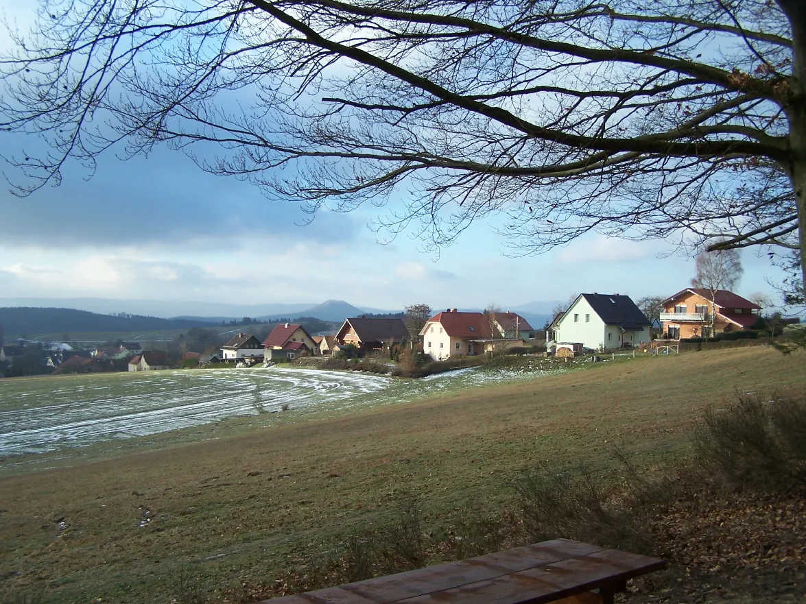
Sperlingsberg336 mPeakClimb to the top of Sperlingsberg for breathtaking panoramic views of the surrounding countryside.
20 km
20 km
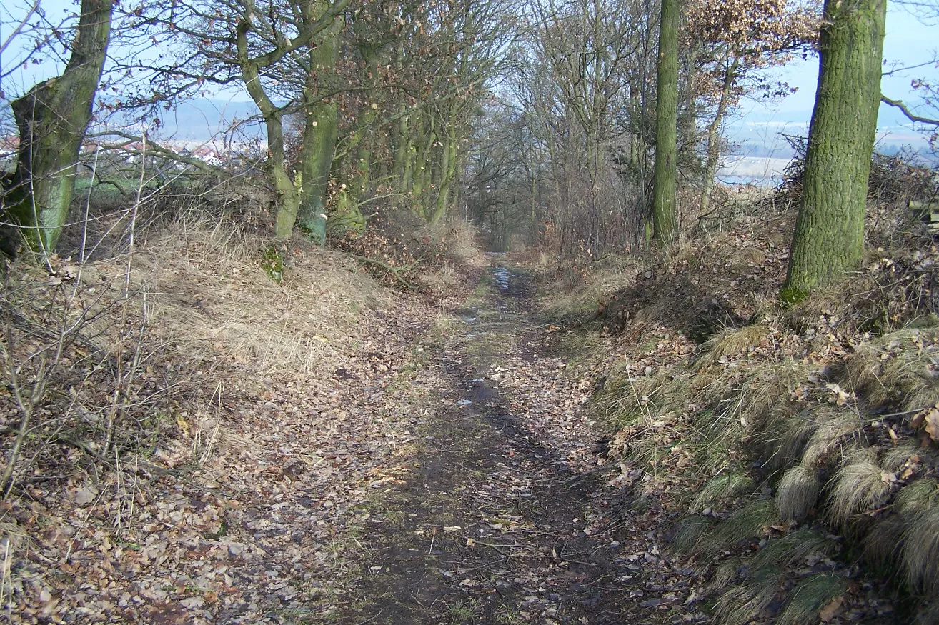
Auelsberg347 mPeakRide through the scenic Auelsberg, a densely forested area with enchanting woodland trails.
27 km
27 km
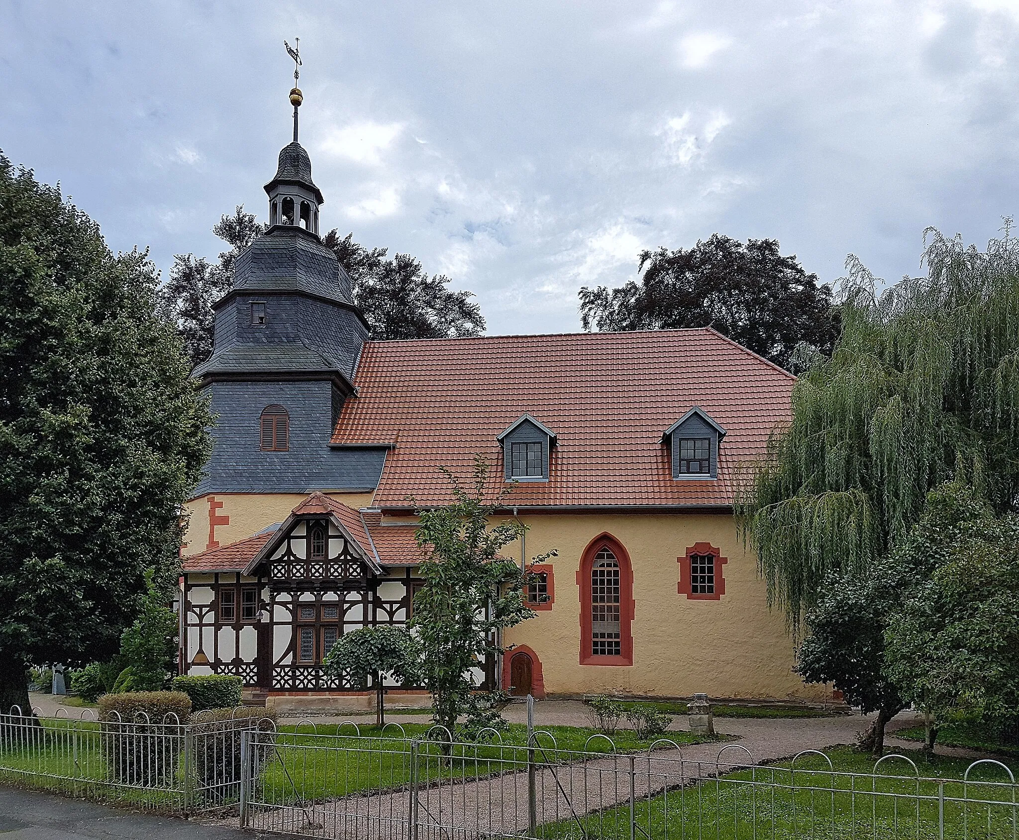
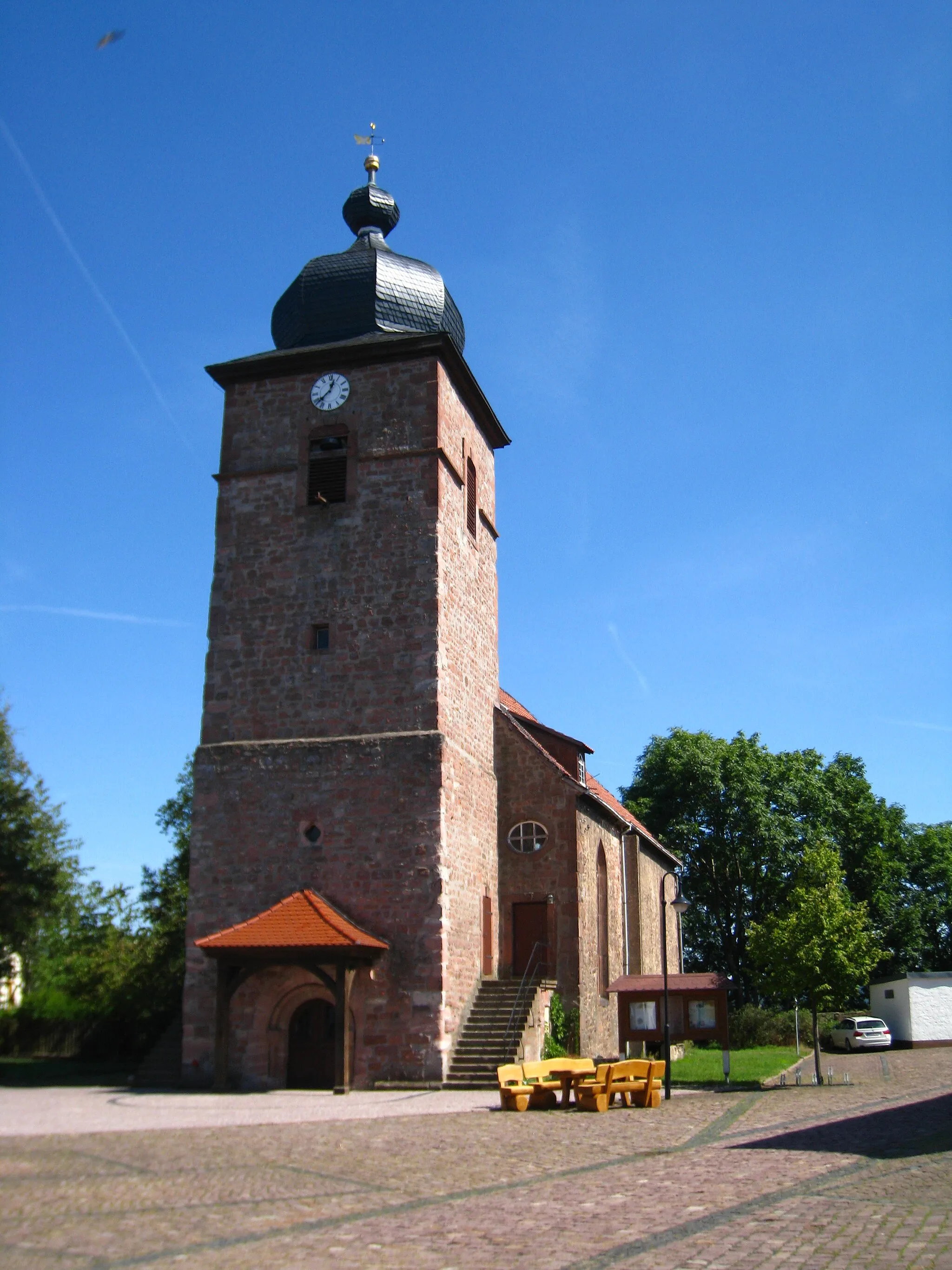
GerstungenTownVisit Gerstungen, a charming town famous for its historic landmarks and picturesque river views.
36 km
36 km
Lohberg265 mPeakMarvel at the stunning Lohberg, a nature reserve with diverse flora and fauna.
45 km
45 km
LindigshofHamletStop by Lindigshof, a traditional farm known for its local produce and charming countryside atmosphere.
50 km
50 km
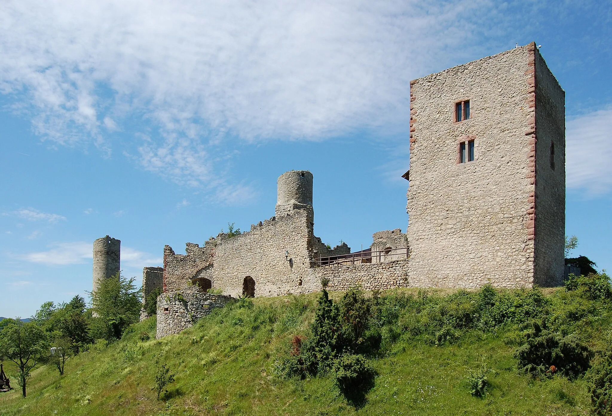
Kahler Berg338 mPeakConquer the legendary Kahler Berg with its steep slopes and rewarding vistas at the summit.
52 km
52 km
OberrohnVillagePass through Oberrohn, a scenic village nestled among rolling hills and idyllic farmland.
57 km
57 km
Gradierwerk Bad SalzungenAttractionDiscover the Gradierwerk, an impressive saltwork facility that offers a glimpse into the region's salt mining history.
58 km
58 km
Finish: Bad Salzungen City centerBad Salzungen: Scenic cycling in Bad Salzungen
Cycling routes from Bad Salzungen:
Cycling routes nearby: