Gravel Adventure to Mühlhausen/Thüringen
A gravel cycling route starting from Korner
Bike through scenic landscapes to reach the historic city of Mühlhausen/Thüringen
Map
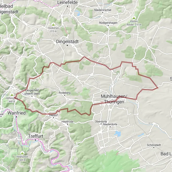
Embark on this gravel adventure that takes you through picturesque countryside, charming villages, and, finally, to the historic city of Mühlhausen/Thüringen. With a moderate difficulty level and a distance of 81 kilometers, this route is suitable for well-trained amateurs. The ascent of 999 meters adds an extra challenge to the ride. Highlights along the way include Der Löwe, a magnificent lion statue, and Katharinenberg, offering breathtaking views. The highlights are scored between 1-5 to indicate their attractiveness, adding an immersive experience to the journey.
gravel
81 km
999 m
Tough
Route profile
Highlights on the route
0 km
0 km
Start: Körner Village centerKörner: Tranquil cycling amidst history in Körner
Körner is a picturesque locality located in Thüringen, Germany. It provides several cycling routes suitable for road and gravel cyclists. The region is characterized by rolling hills and charming villages, offering a serene cycling experience. Cyclists can enjoy exploring the famous Kyffhäuser Mountain Range nearby, which is known for its historical significance and natural beauty. Körner is an excellent destination for cyclists looking for a mix of history and natural landscapes.11 km
11 km
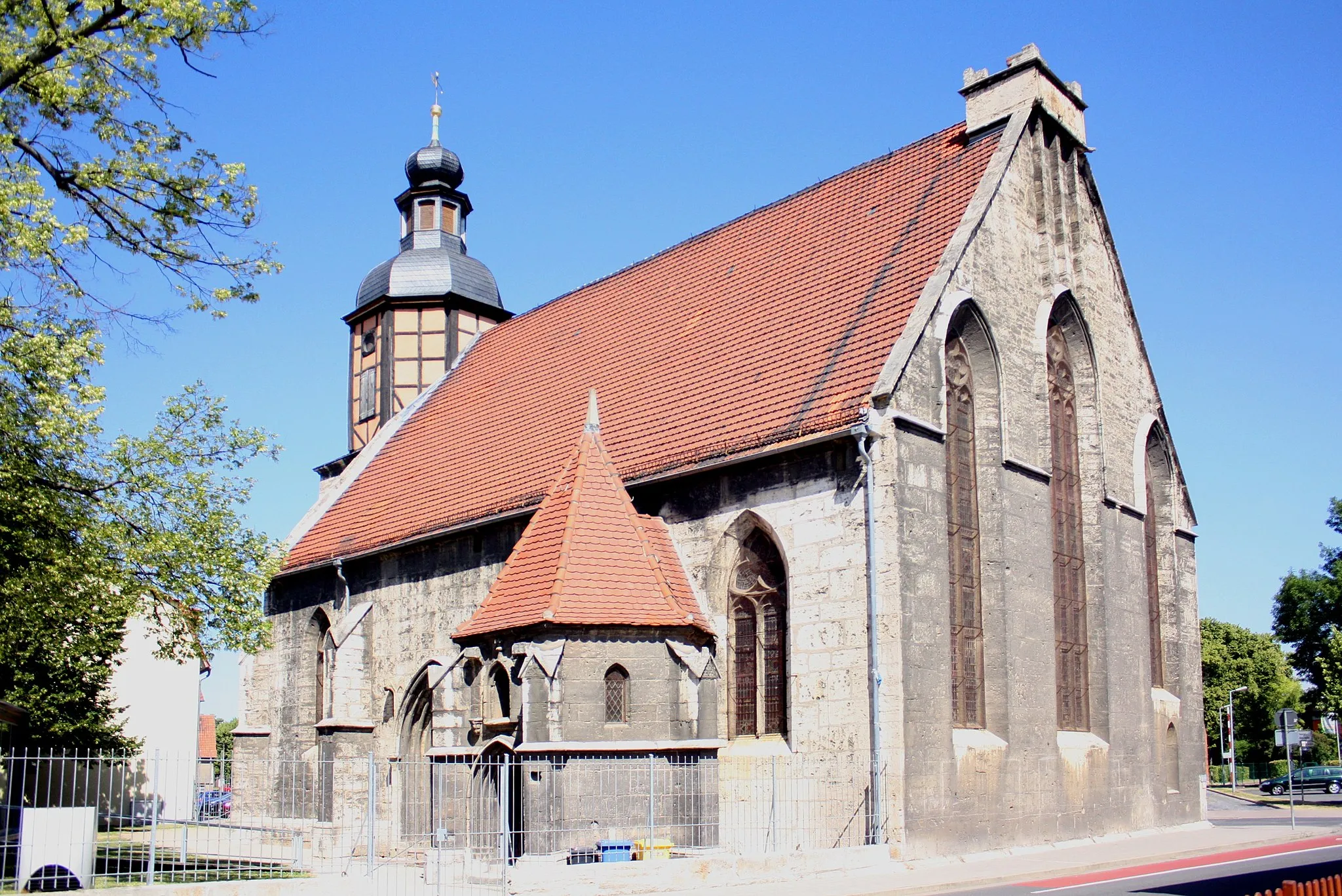
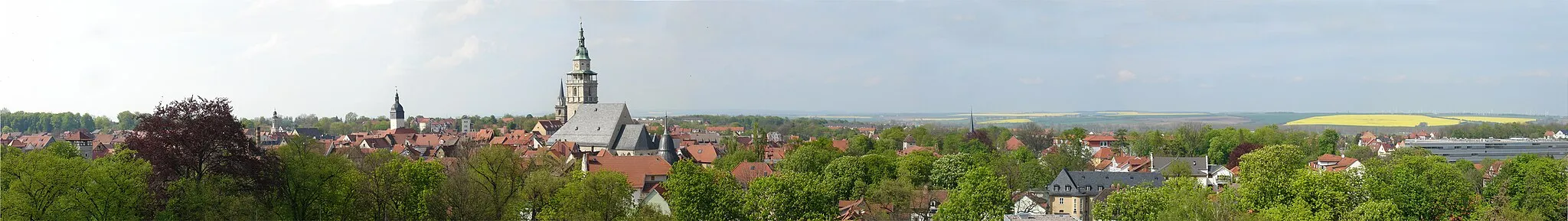
Mühlhausen/ThüringenTownMühlhausen/Thüringen is a historic city with stunning medieval architecture and a rich cultural heritage.
12 km
12 km
Der LöweViewpointDer Löwe is a magnificent lion statue located in the city center of Mühlhausen/Thüringen.
30 km
30 km
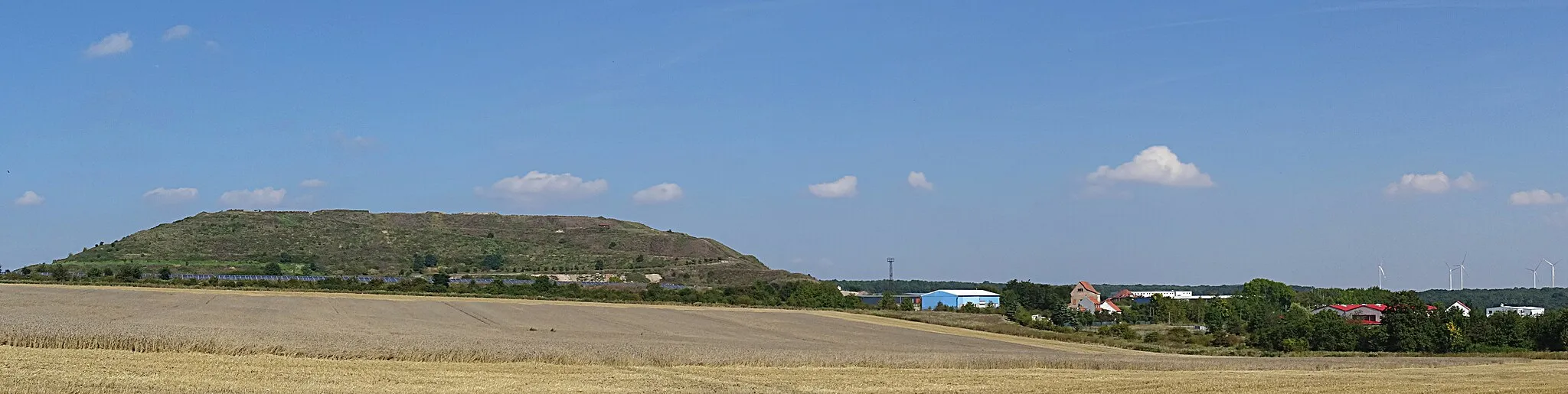
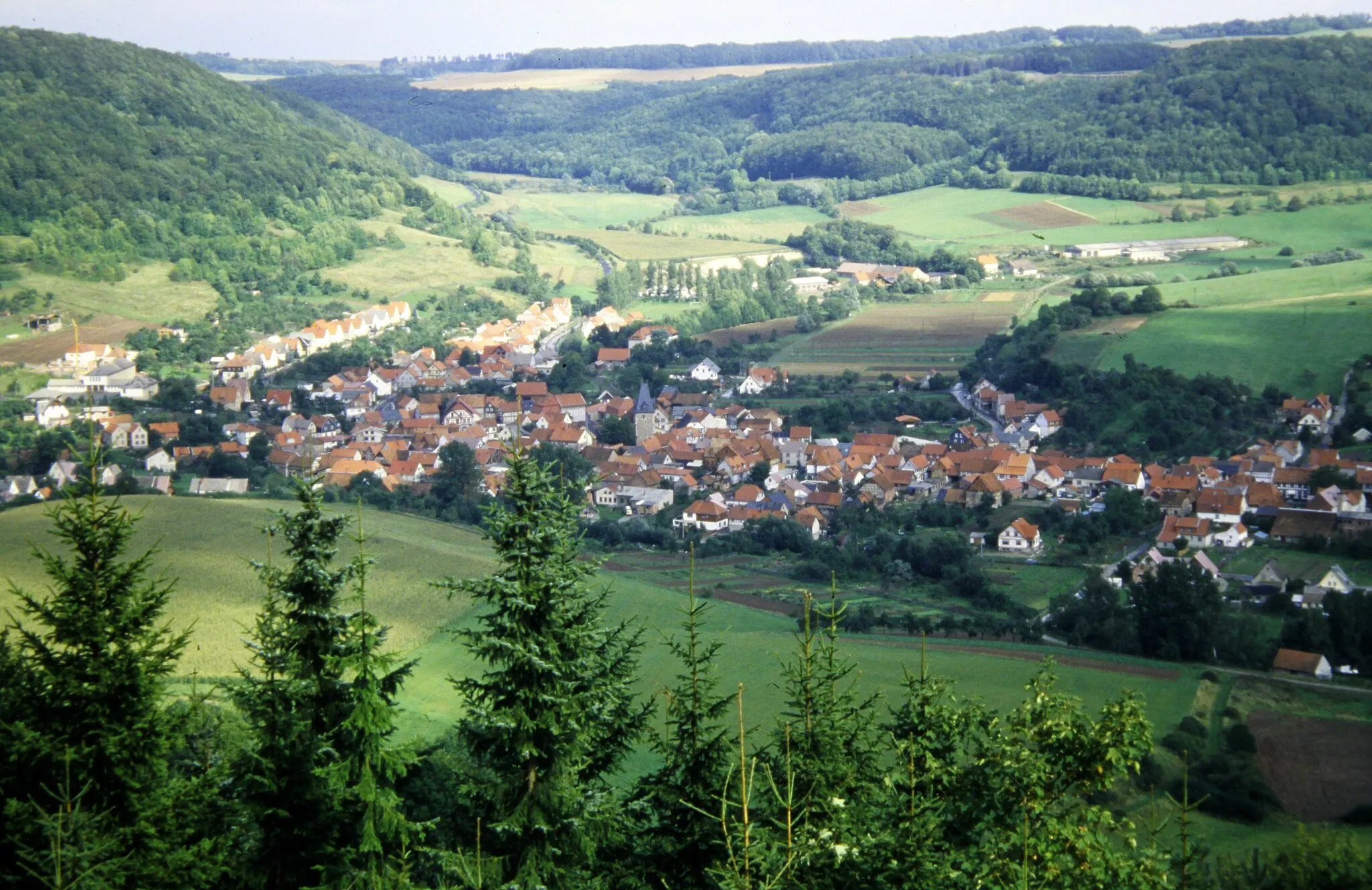
KatharinenbergVillageKatharinenberg offers panoramic views of the surrounding countryside and neighboring towns.
37 km
37 km
Keudelskuppe484 mPeakKeudelskuppe is a scenic hilltop offering great photo opportunities.
44 km
44 km
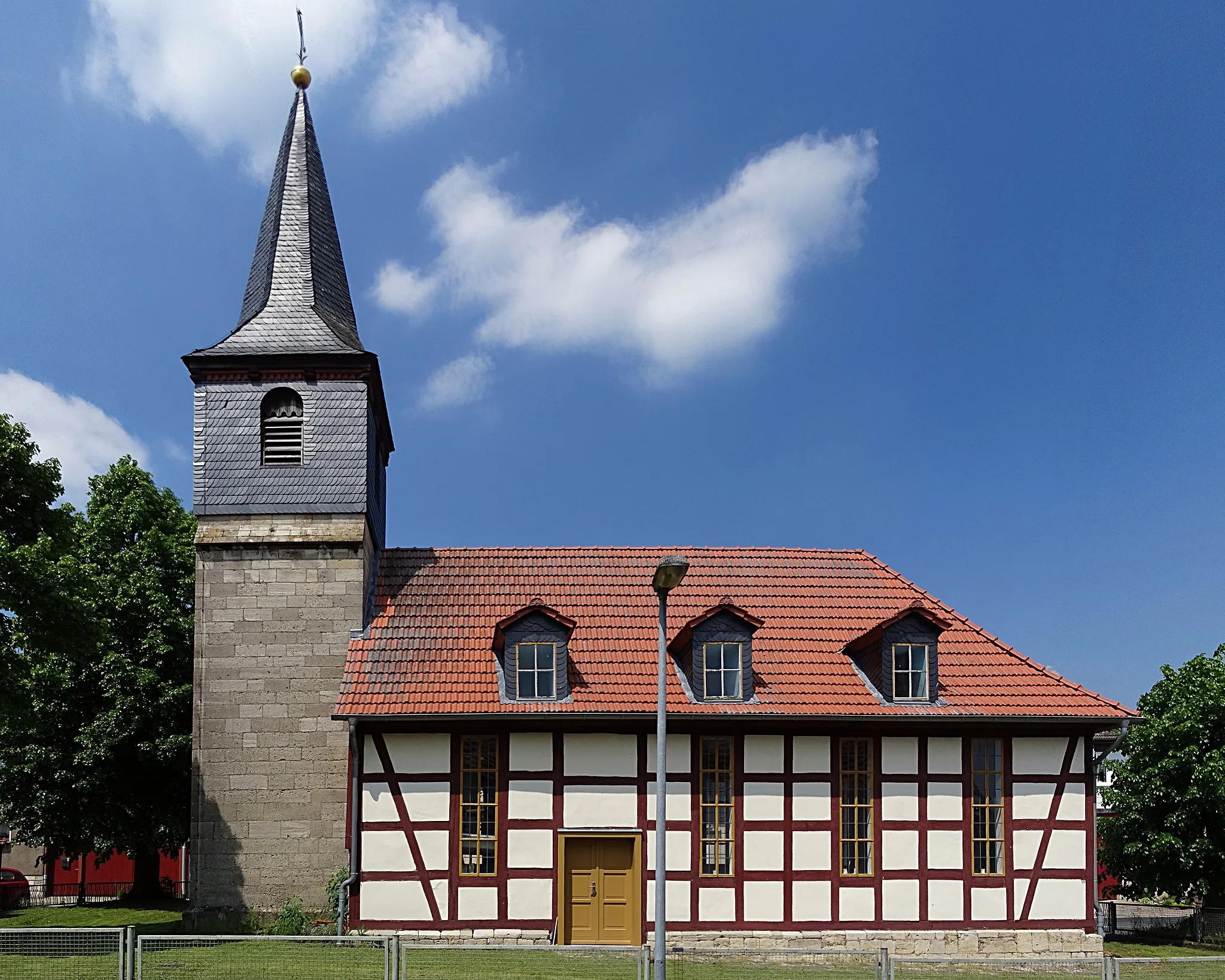
GroßbartloffVillageGroßbartloff is a charming village with traditional half-timbered houses.
57 km
57 km
Schöne AussichtViewpointSchöne Aussicht is a hill offering stunning views of the Thüringen countryside.
79 km
79 km
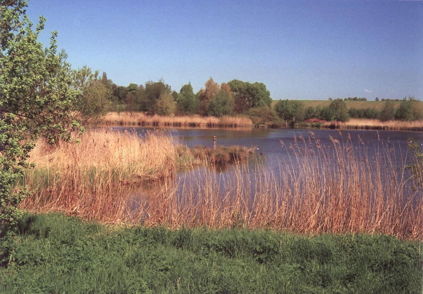
Tiefes LochViewpointTiefes Loch is a natural phenomenon with deep sinkholes and fascinating geological formations.
81 km
81 km
KörnerVillageKörner is the starting and ending point of the route, known for its beautiful surroundings and countryside charm.
81 km
81 km
Finish: Körner Village centerKörner: Tranquil cycling amidst history in Körner
Cycling routes from Korner:
Road Cycling Adventure to Mühlhausen/Thüringen Gravel Adventure to Mühlhausen/Thüringen Scenic Gravel Ride to Goldkopf Ultimate Road Cycling Challenge: Exploring the Schimberg Historical treasures and natural beauty Mountain villages and historic towns Gravel adventure through valleys and forests Scenic routes and historic landmarks Körner to Körner - A Scenic Trip Across Thüringen Körner to Tiefes Loch Gravel Route The Thüringer Buckel Tour The Gravel Adventure
Cycling routes nearby: