The Gravel Adventure
A gravel cycling route starting from Korner
An exciting gravel route that takes you through diverse landscapes and charming villages.
Map
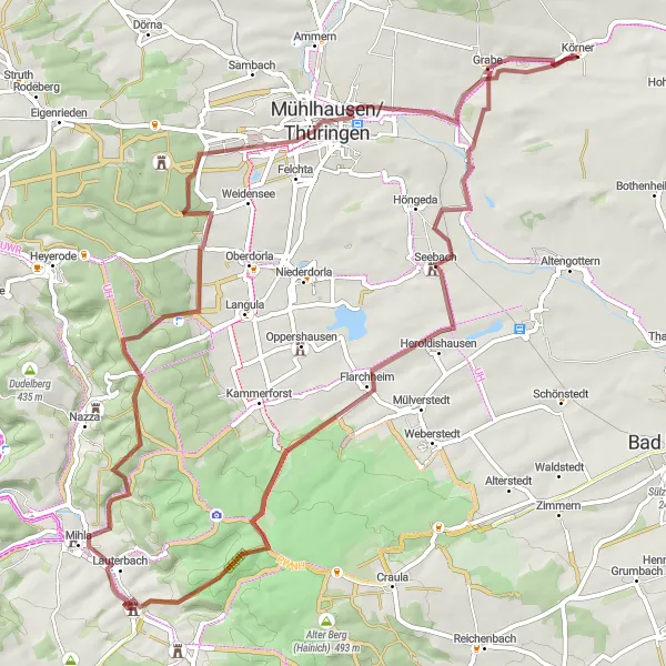
This round-trip gravel cycling route starting near Körner in Thüringen, Germany offers an exciting adventure through a variety of landscapes. With a total distance of 72 kilometers and an ascent of 805 meters, this route is suitable for experienced gravel cyclists looking for a mix of terrain. The highlights along the route include Körner, a small village with a rich history, Lauterbach, a charming village with traditional architecture, and Mühlhausen/Thüringen, a historic town with medieval walls. The difficulty level of this route can be considered a 3 out of 5, suitable for well-trained amateur gravel cyclists. Its epicness score is 4 out of 5, making it an epic and memorable cycling experience.
gravel
72 km
805 m
Tough
Route profile
Highlights on the route
0 km
0 km
Start: Körner Village centerKörner: Tranquil cycling amidst history in Körner
Körner is a picturesque locality located in Thüringen, Germany. It provides several cycling routes suitable for road and gravel cyclists. The region is characterized by rolling hills and charming villages, offering a serene cycling experience. Cyclists can enjoy exploring the famous Kyffhäuser Mountain Range nearby, which is known for its historical significance and natural beauty. Körner is an excellent destination for cyclists looking for a mix of history and natural landscapes.0 km
0 km
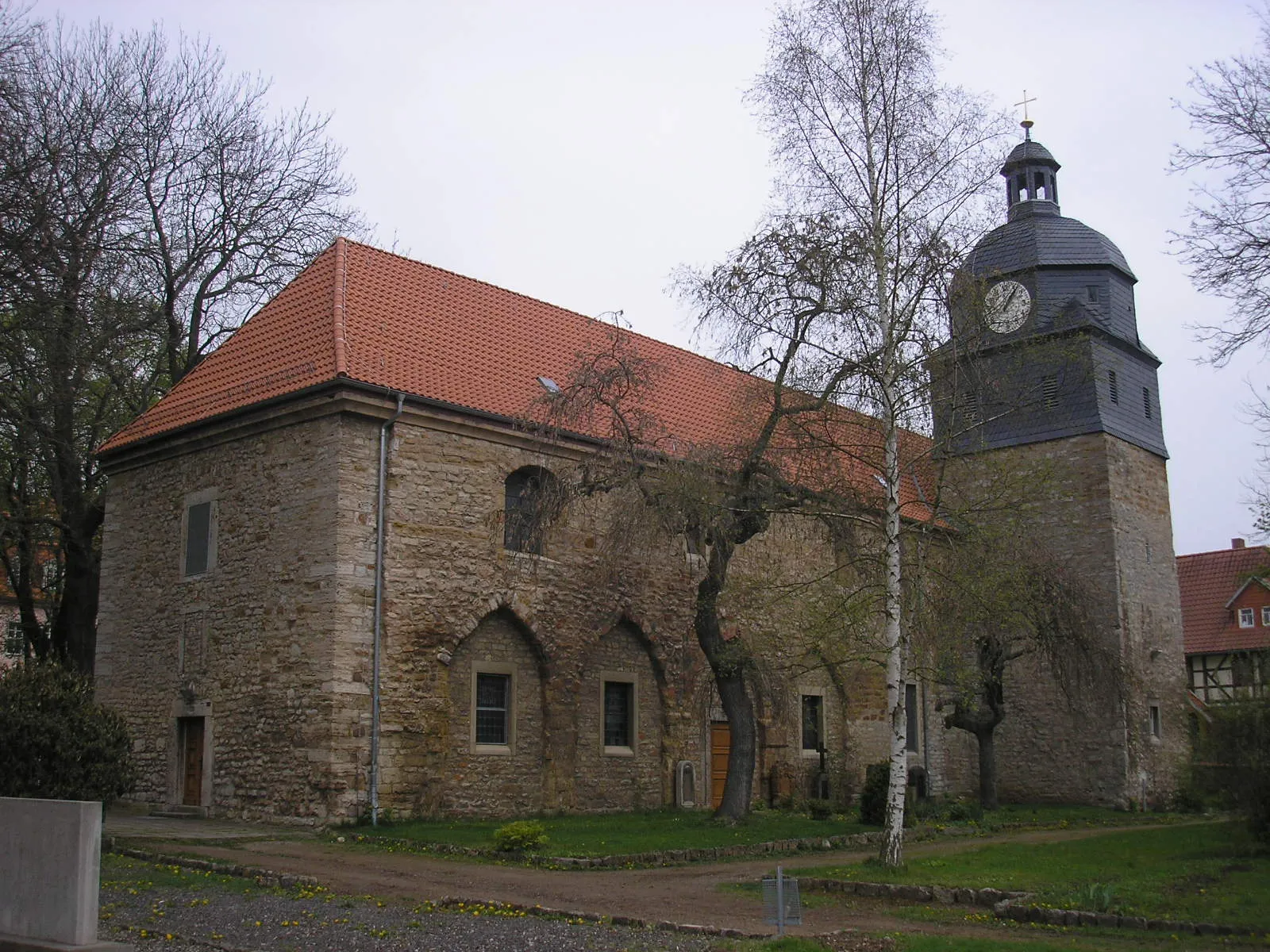
KörnerVillageKörner is a small village known for its traditional half-timbered houses. Take a moment to soak in the local atmosphere before embarking on your gravel adventure.
16 km
16 km
HeroldishausenVillageHeroldishausen is a picturesque village surrounded by idyllic countryside. Ride along its quiet roads and admire the beauty of the surrounding landscape.
29 km
29 km
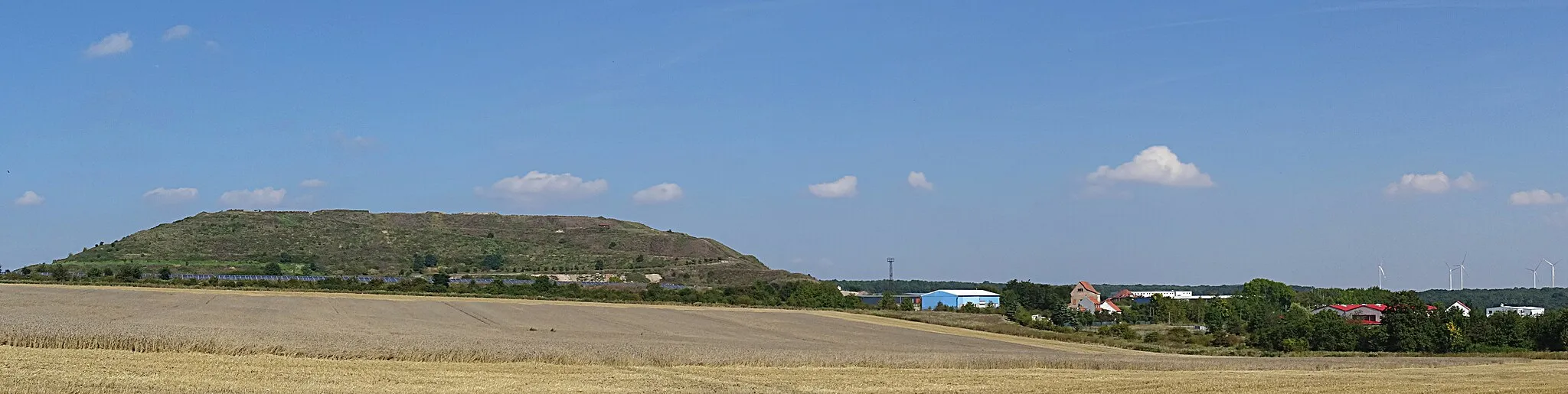
Eichenberg422 mPeakEichenberg is an enchanting village located on the slopes of a hill. Enjoy panoramic views of the surrounding area and visit one of the cozy cafes in the village center.
35 km
35 km
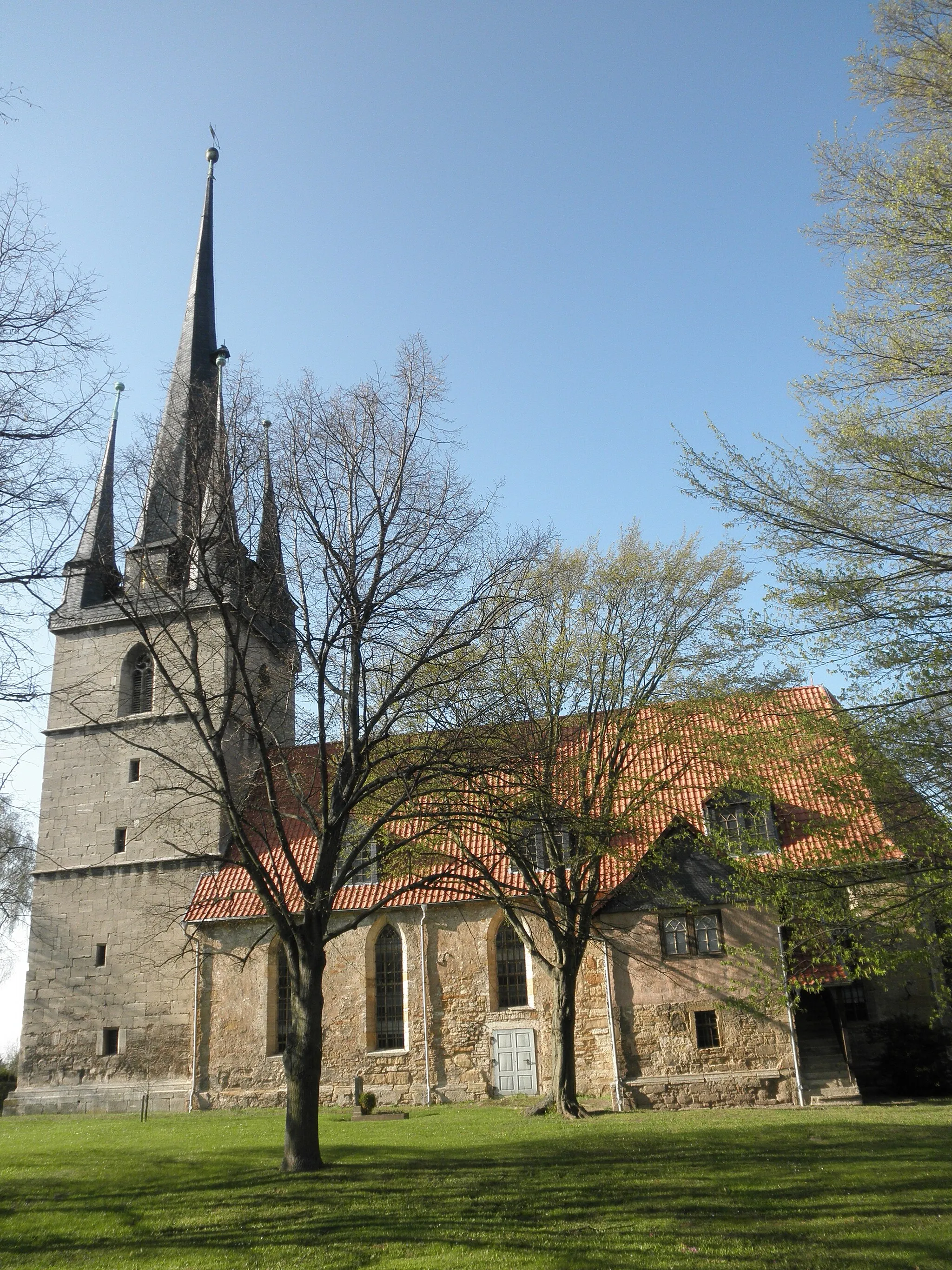
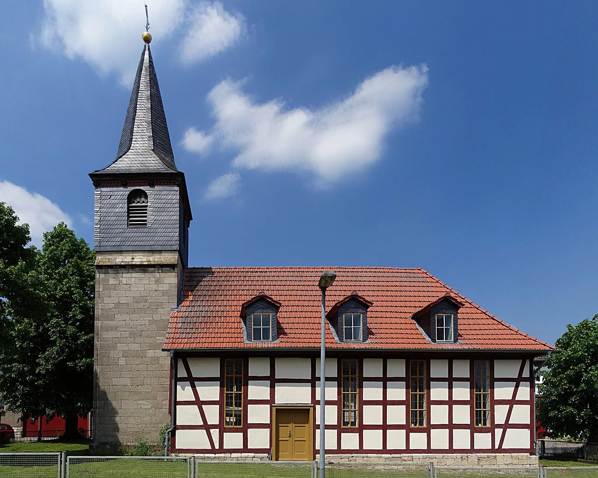
LauterbachVillageLauterbach is a charming village with well-preserved half-timbered houses. Explore its narrow streets and admire the local architecture.
40 km
40 km
Wernershäuser Höhe358 mPeakWernershäuser Höhe is a high point along the route, offering impressive views of the rolling hills. Take a moment to catch your breath and enjoy the scenery.
53 km
53 km
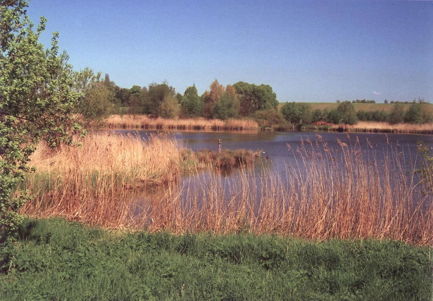
SpittelbrunnenPicnic SiteSpittelbrunnen is a natural fountain where you can refill your water bottles. The clear spring water is refreshing and perfect for rehydrating during your gravel adventure.
59 km
59 km
Der LöweViewpointDer Löwe is a historic inn known for its traditional cuisine. Stop by for a hearty meal and experience the culinary delights of the region.
60 km
60 km
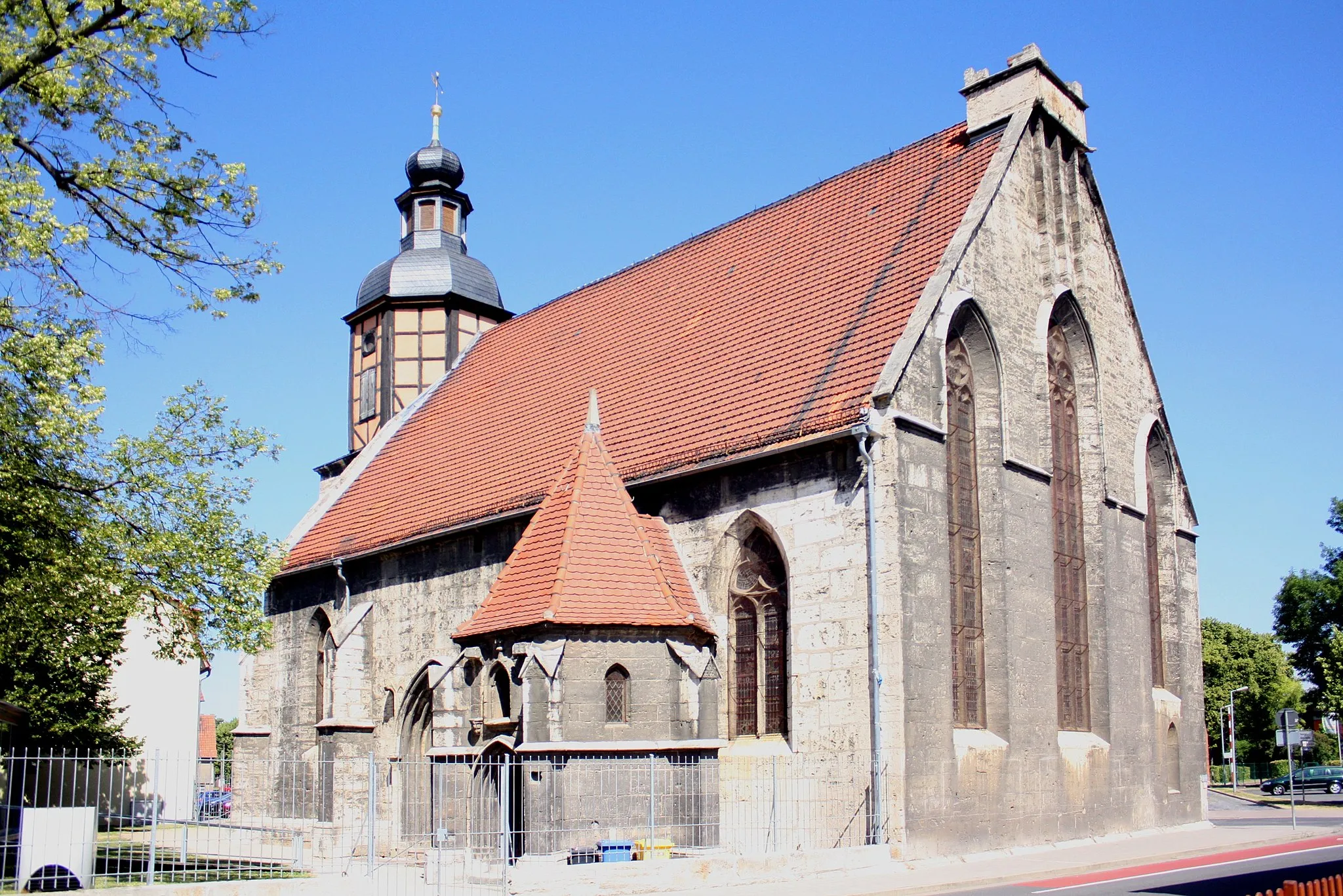
Mühlhausen/ThüringenTownMühlhausen/Thüringen is a historic town with well-preserved city walls and medieval architecture. Explore the town's rich history and visit its many cultural landmarks.
72 km
72 km
Finish: Körner Village centerKörner: Tranquil cycling amidst history in Körner
Cycling routes from Korner:
Road Cycling Adventure to Mühlhausen/Thüringen Gravel Adventure to Mühlhausen/Thüringen Scenic Gravel Ride to Goldkopf Ultimate Road Cycling Challenge: Exploring the Schimberg Historical treasures and natural beauty Mountain villages and historic towns Gravel adventure through valleys and forests Scenic routes and historic landmarks Körner to Körner - A Scenic Trip Across Thüringen Körner to Tiefes Loch Gravel Route The Thüringer Buckel Tour The Gravel Adventure
Cycling routes nearby: