Gravel Adventure through Thuringia
A gravel cycling route starting from Lichte
Embrace the off-road thrill on this gravel cycling route through scenic Thuringia
Map
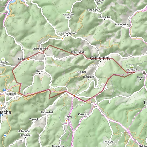
Get ready for an epic gravel adventure across the picturesque landscapes of Thuringia. With a total distance of 35 kilometers and an ascent of 843 meters, this challenging route offers thrilling off-road cycling experiences. Starting near Lichte in Thüringen, Germany, this journey takes you through diverse terrains and iconic landmarks of the region.
gravel
35 km
843 m
Chill
Route profile
Highlights on the route
0 km
0 km
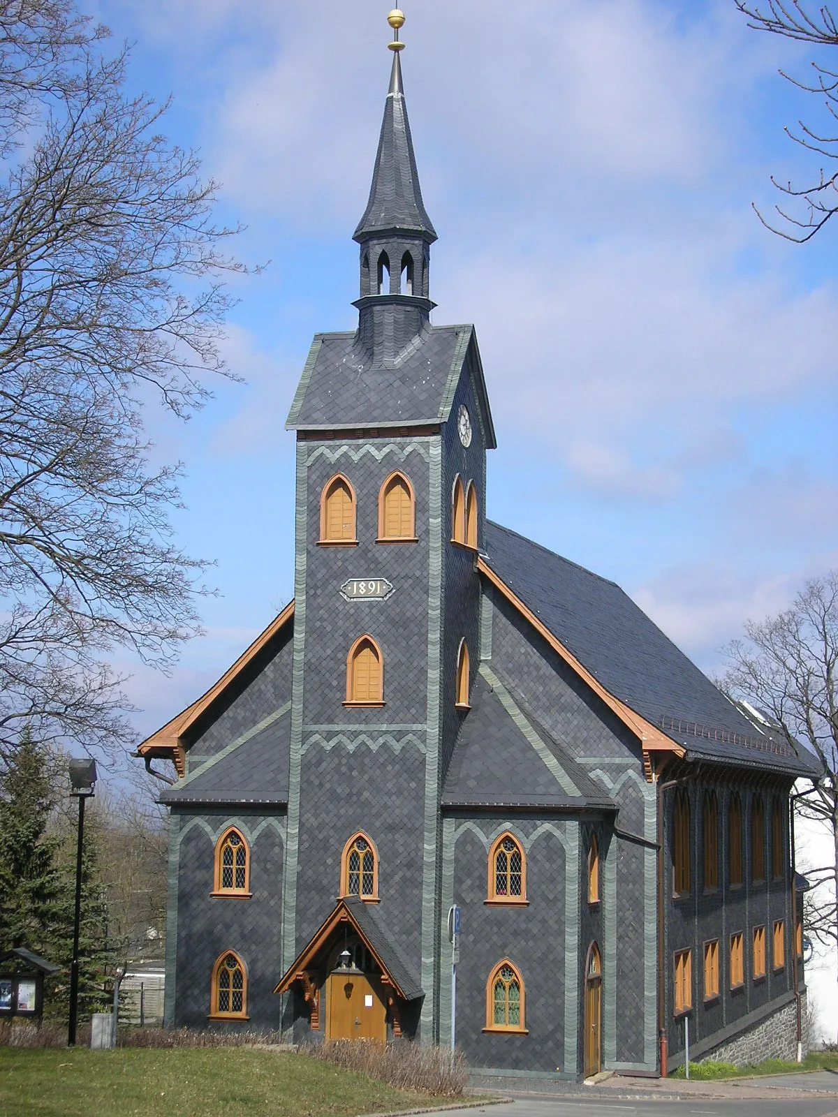
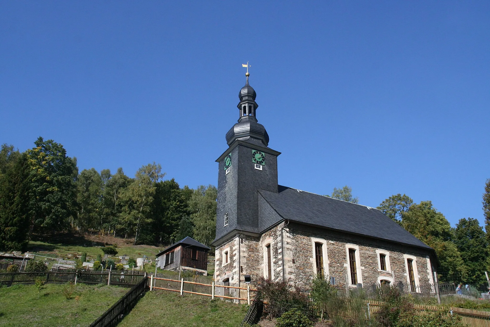
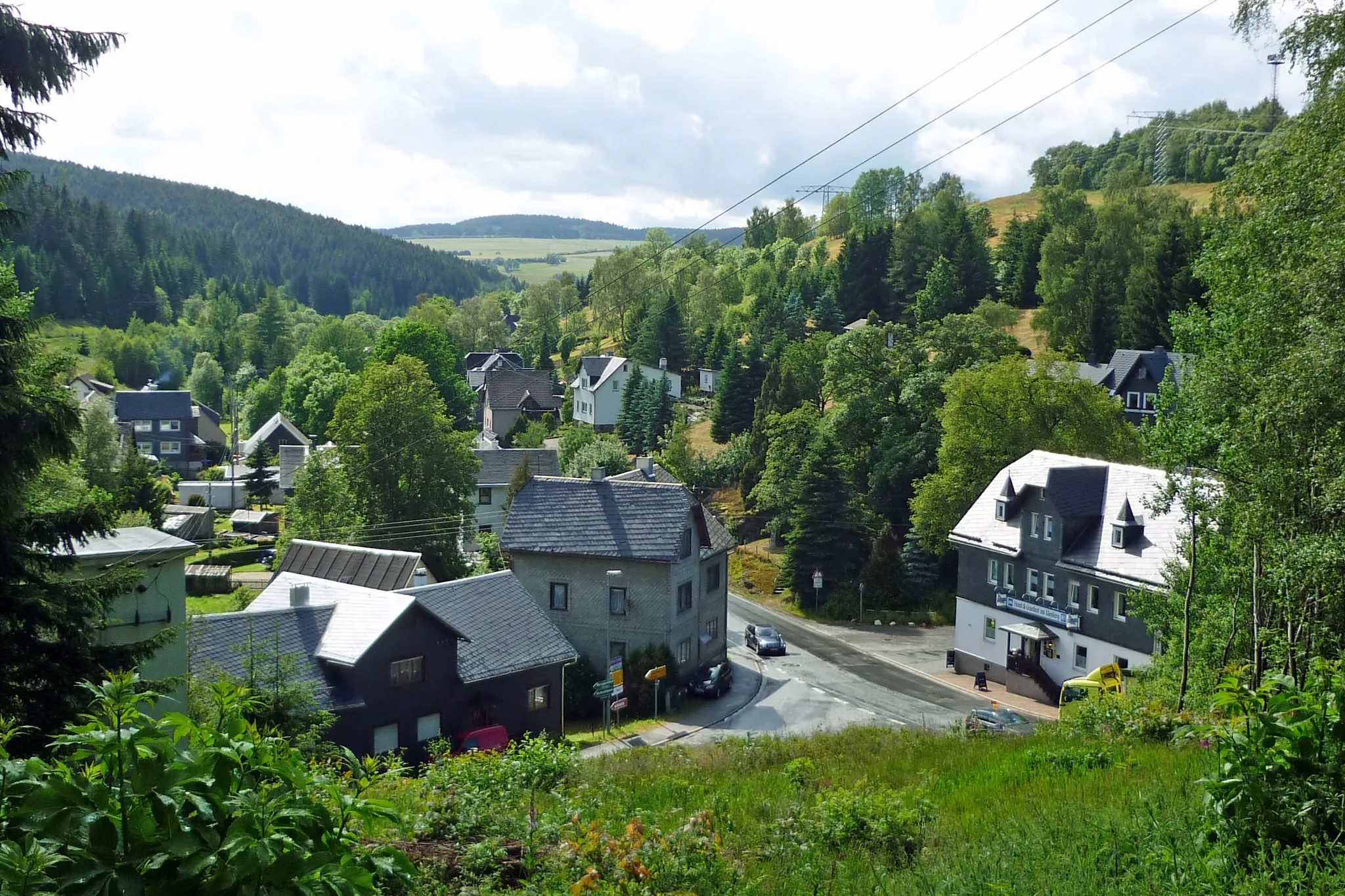
Start: Lichte Village centerLichte: Cycling paradise in Thüringen's beautiful countryside.
Lichte is a small town in Thüringen, Germany, known for its beautiful countryside and scenic routes that are perfect for road and gravel cycling. The roads are well-maintained and offer stunning views of the surrounding forests and mountains. Cyclists can enjoy challenging climbs and thrilling descents in the area. One of the most famous cycling spots nearby is the Rennsteig, a long-distance trail that runs through Lichte and offers breathtaking views. Lichte is a great destination for cycling enthusiasts and nature lovers alike.2 km
2 km
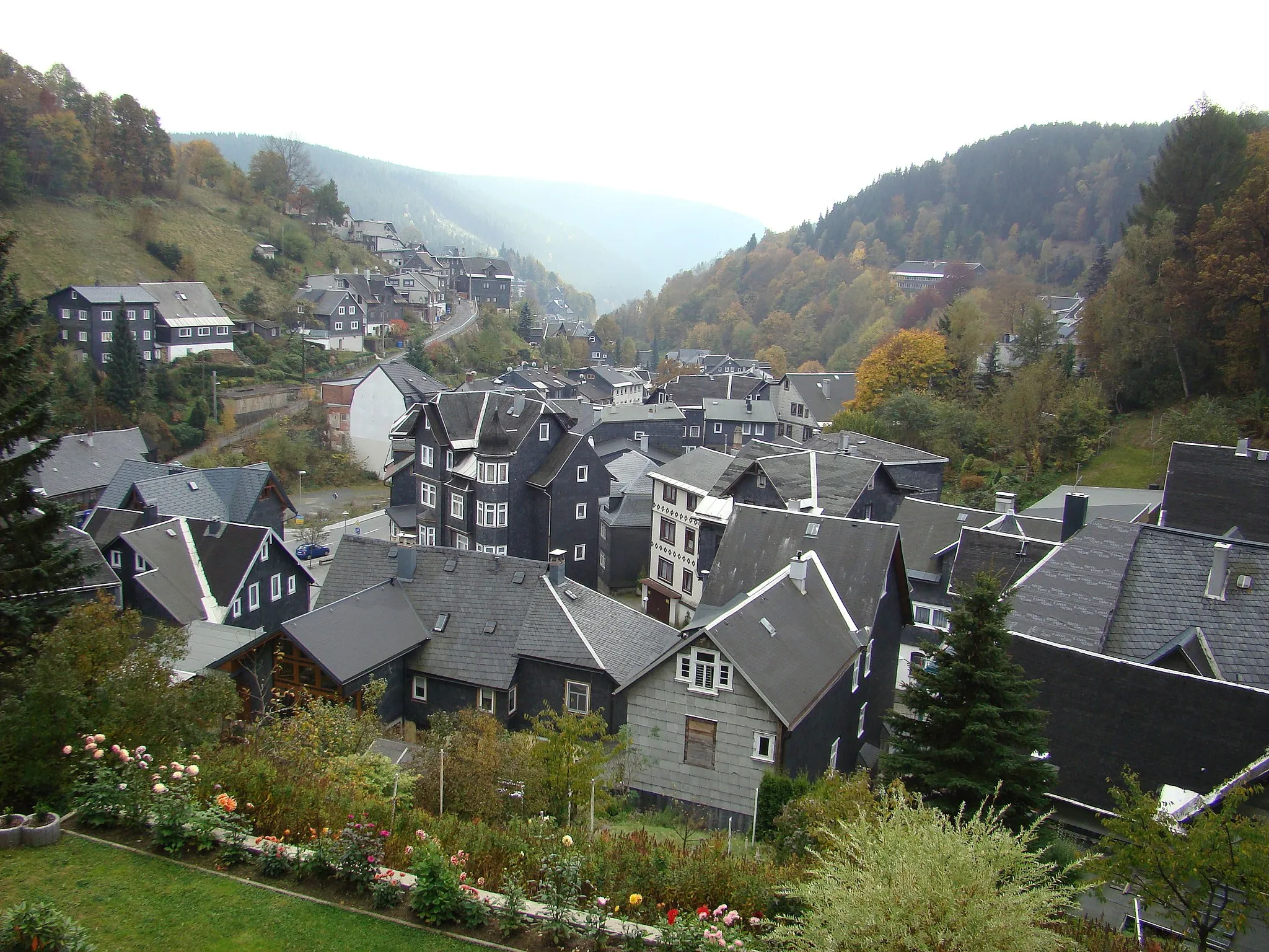
SchmiedefeldVillageSchmiedefeld, just 2 kilometers from the start, is a tranquil village nestled in the heart of the Thuringian Forest, offering a perfect starting point for off-road explorations.
8 km
8 km
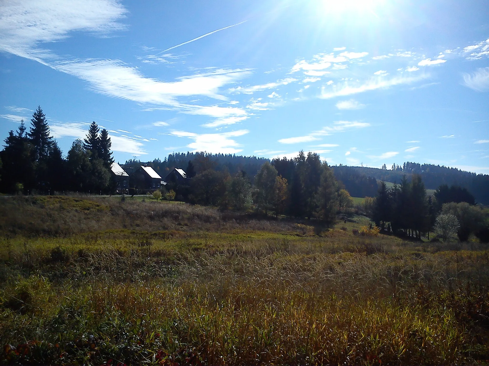
Eichberg615 mPeakEichberg, situated at 8 kilometers, treats gravel cyclists to breathtaking views of the surrounding mountains and lush green meadows.
24 km
24 km
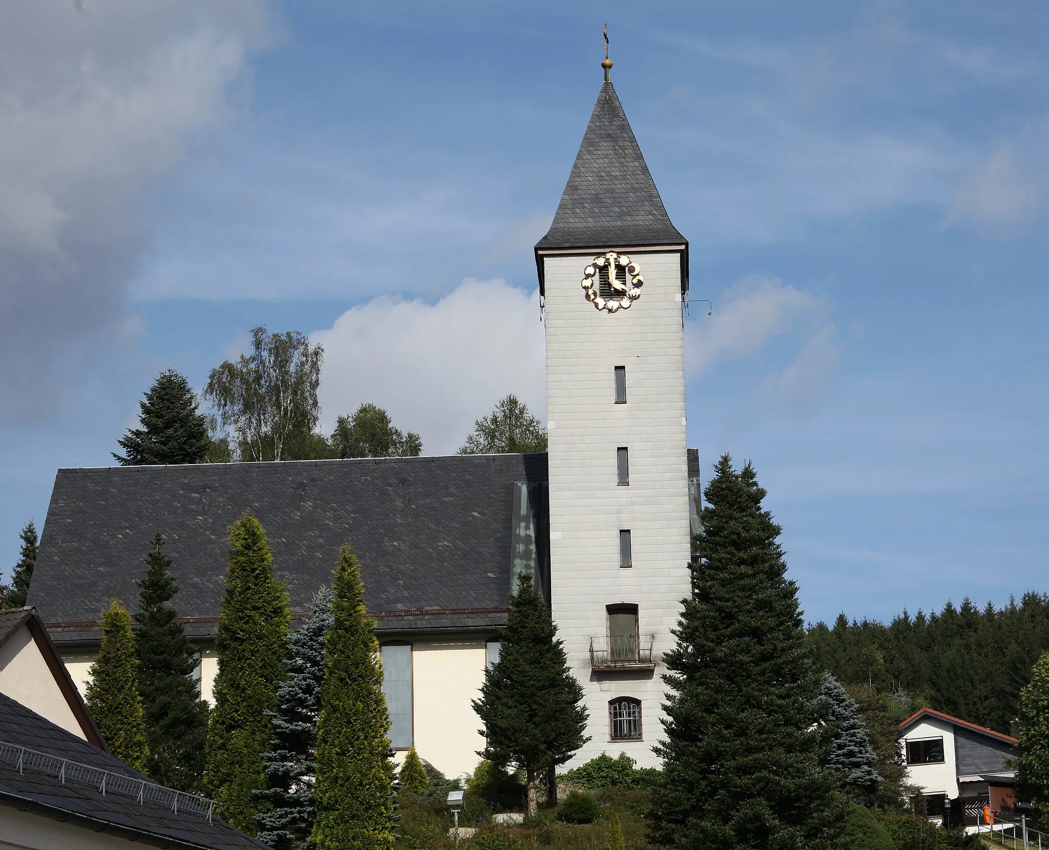
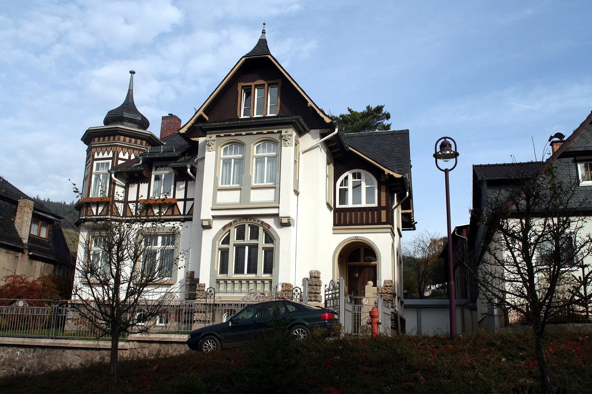
SpechtsbrunnVillageSpechtsbrunn, located at 24 kilometers, is a charming village renowned for its historic half-timbered houses and scenic location within the Thuringian Forest.
28 km
28 km
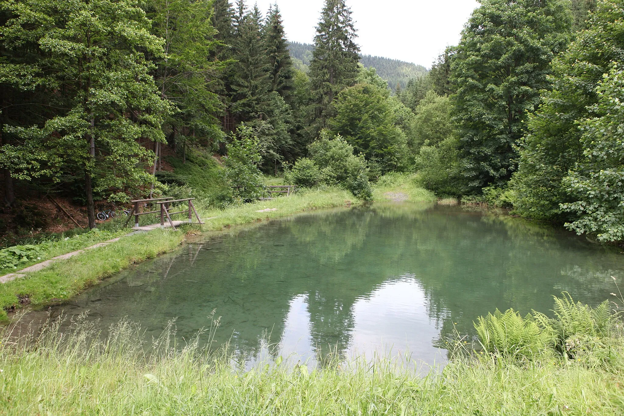
Hoher Schuss819 mPeakHoher Schuss, found at 28 kilometers, offers a thrilling descent through dense forests with occasional panoramic views of the Thuringian Mountains.
35 km
35 km
HahnbergblickViewpointHahnbergblick, situated at 35 kilometers, rewards gravel adventurers with stunning vistas of the surrounding valleys and the Rennsteig trail.
35 km
35 km
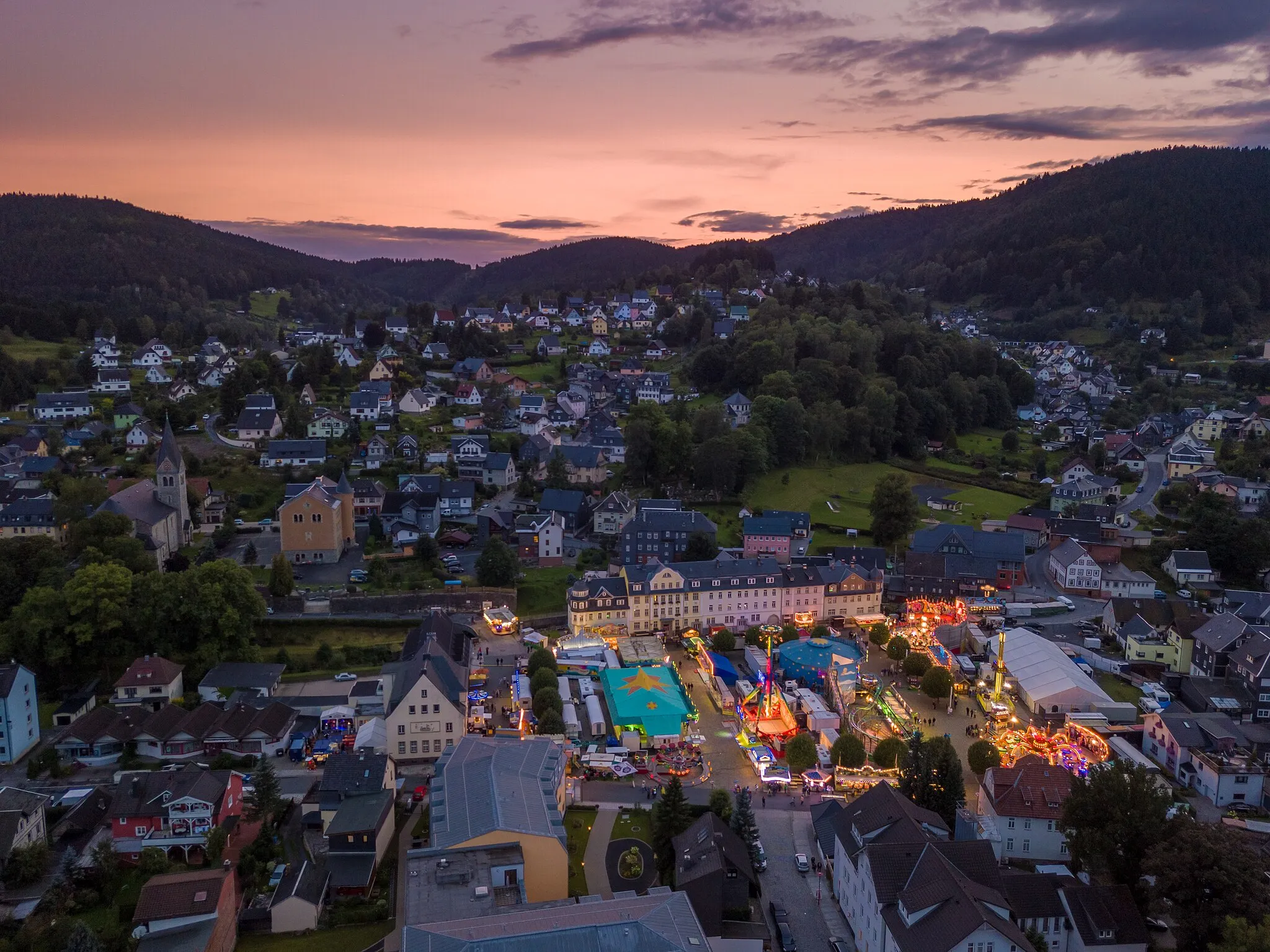
LichteVillageLichte, located at 35 kilometers, provides a welcoming ambiance with its scenic trails and peaceful atmosphere, making it a perfect spot to relax after the thrilling gravel ride.
35 km
35 km
Finish: Lichte Village centerLichte: Cycling paradise in Thüringen's beautiful countryside.
Cycling routes from Lichte:
Thuringian Mountains Loop Rennsteig Highlights Discover the Thuringian Forest Gravel Adventure through Thuringia The Thuringian Hills Road Adventure Apelsberg - Katzhütte - Gillersdorf Gravel Adventure Through Thüringen Around Lichte: Gravel Adventure Hidden Gems of Lichte: Gravel Exploration Through the Wilderness: Gravel Adventure
Cycling routes nearby: