Rennsteig Highlights
A road cycling route starting from Lichte
Experience the highlights of the famous Rennsteig trail on this exhilarating road cycling route
Map
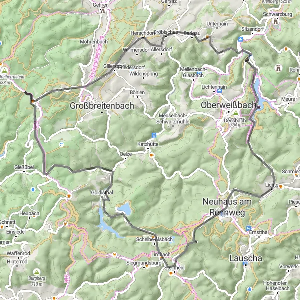
Embark on a thrilling road cycling adventure that explores the captivating highlights of the iconic Rennsteig trail. With a total distance of 75 kilometers and an ascent of 1562 meters, this route showcases the scenic beauty and cultural attractions of this renowned pathway. Starting near Lichte in Thüringen, Germany, this journey is perfect for outdoor enthusiasts seeking a challenge and an opportunity to immerse themselves in Thuringia's rich heritage.
road
75 km
1562 m
Tough
Route profile
Highlights on the route
0 km
0 km
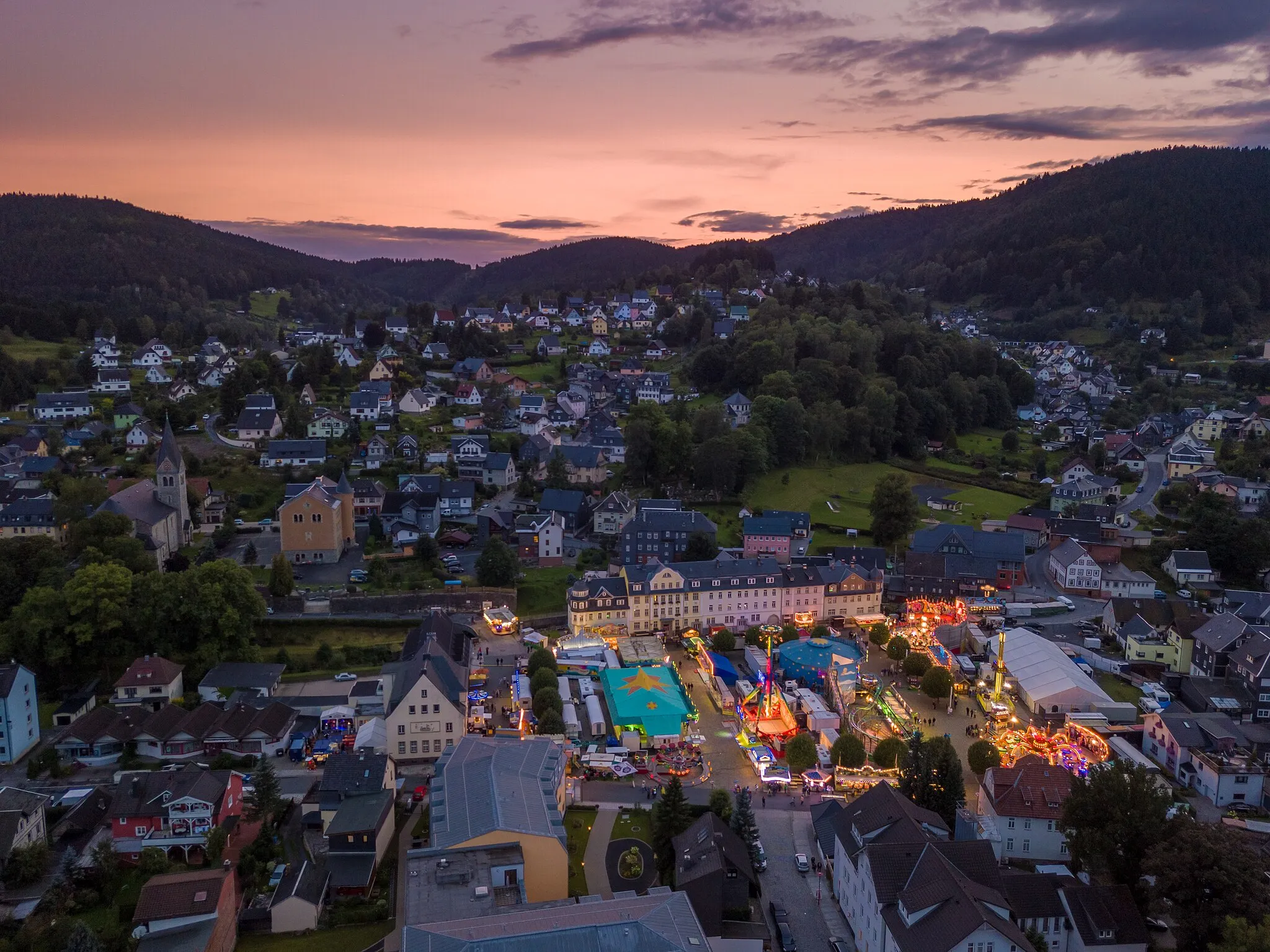
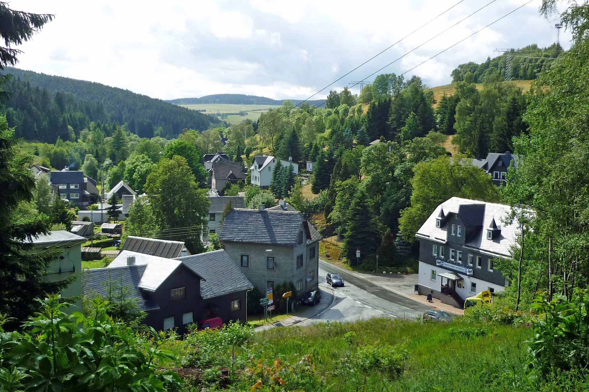
Start: Lichte Village centerLichte: Cycling paradise in Thüringen's beautiful countryside.
Lichte is a small town in Thüringen, Germany, known for its beautiful countryside and scenic routes that are perfect for road and gravel cycling. The roads are well-maintained and offer stunning views of the surrounding forests and mountains. Cyclists can enjoy challenging climbs and thrilling descents in the area. One of the most famous cycling spots nearby is the Rennsteig, a long-distance trail that runs through Lichte and offers breathtaking views. Lichte is a great destination for cycling enthusiasts and nature lovers alike.4 km
4 km
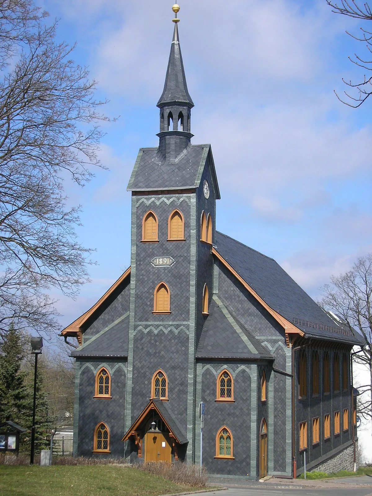
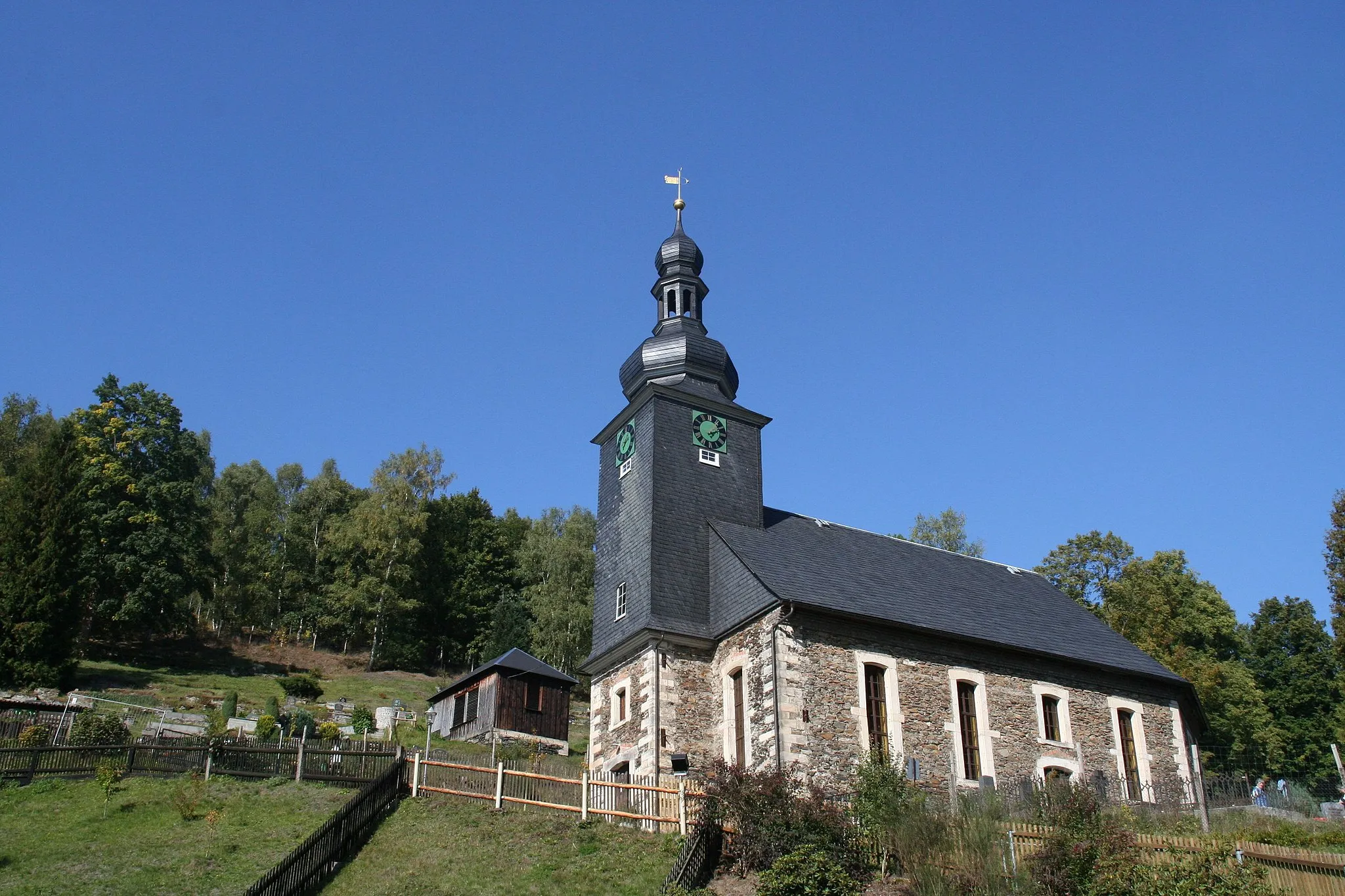
Neuhaus am RennwegTownNeuhaus am Rennweg, just 4 kilometers from the start, is a charming town famous for being the gateway to the Rennsteig trail and its historic half-timbered houses.
10 km
10 km
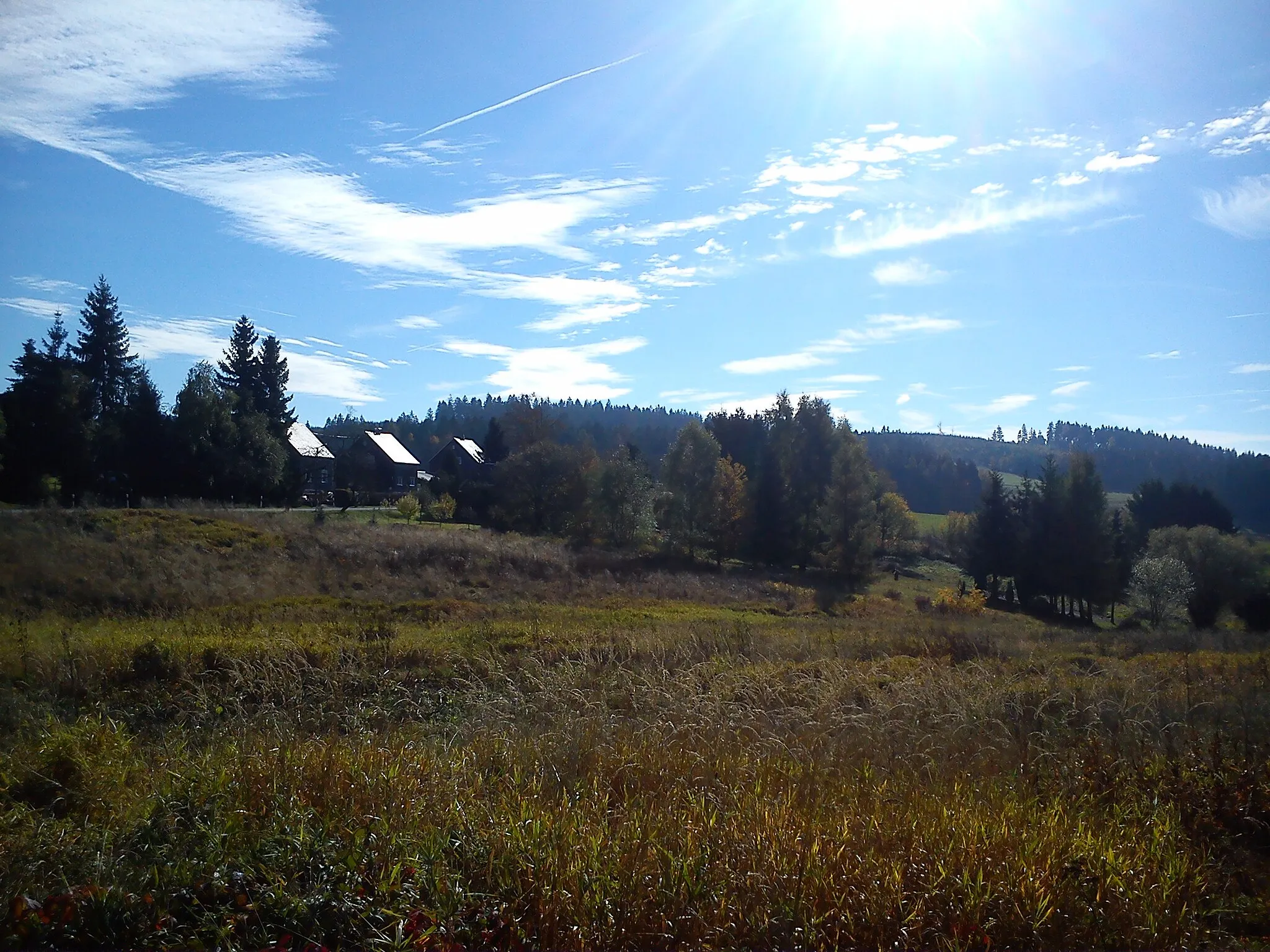
Sandberg834 mShelterAt 10 kilometers, Sandberg rewards cyclists with sweeping vistas of the Thuringian Mountains and the surrounding countryside.
18 km
18 km
Pumpspeicherwerk GoldisthalViewpointPumpspeicherwerk Goldisthal, found at 18 kilometers, is an impressive pumped-storage power plant and a testament to Thuringia's engineering prowess.
21 km
21 km
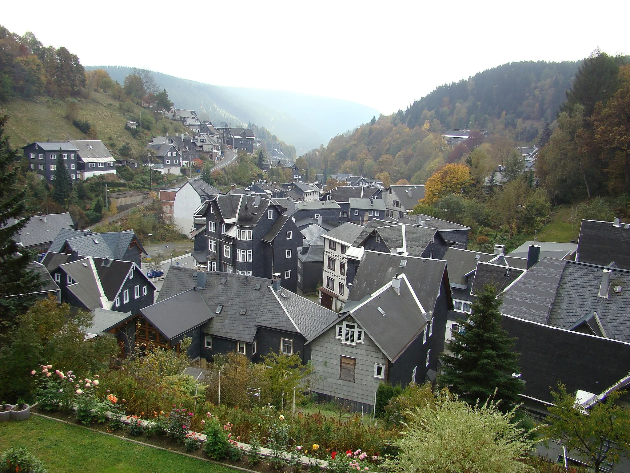
GoldisthalVillageGoldisthal, situated at 21 kilometers, is a picturesque village known for its idyllic setting and historic railway bridge spanning the Schwarza River.
34 km
34 km
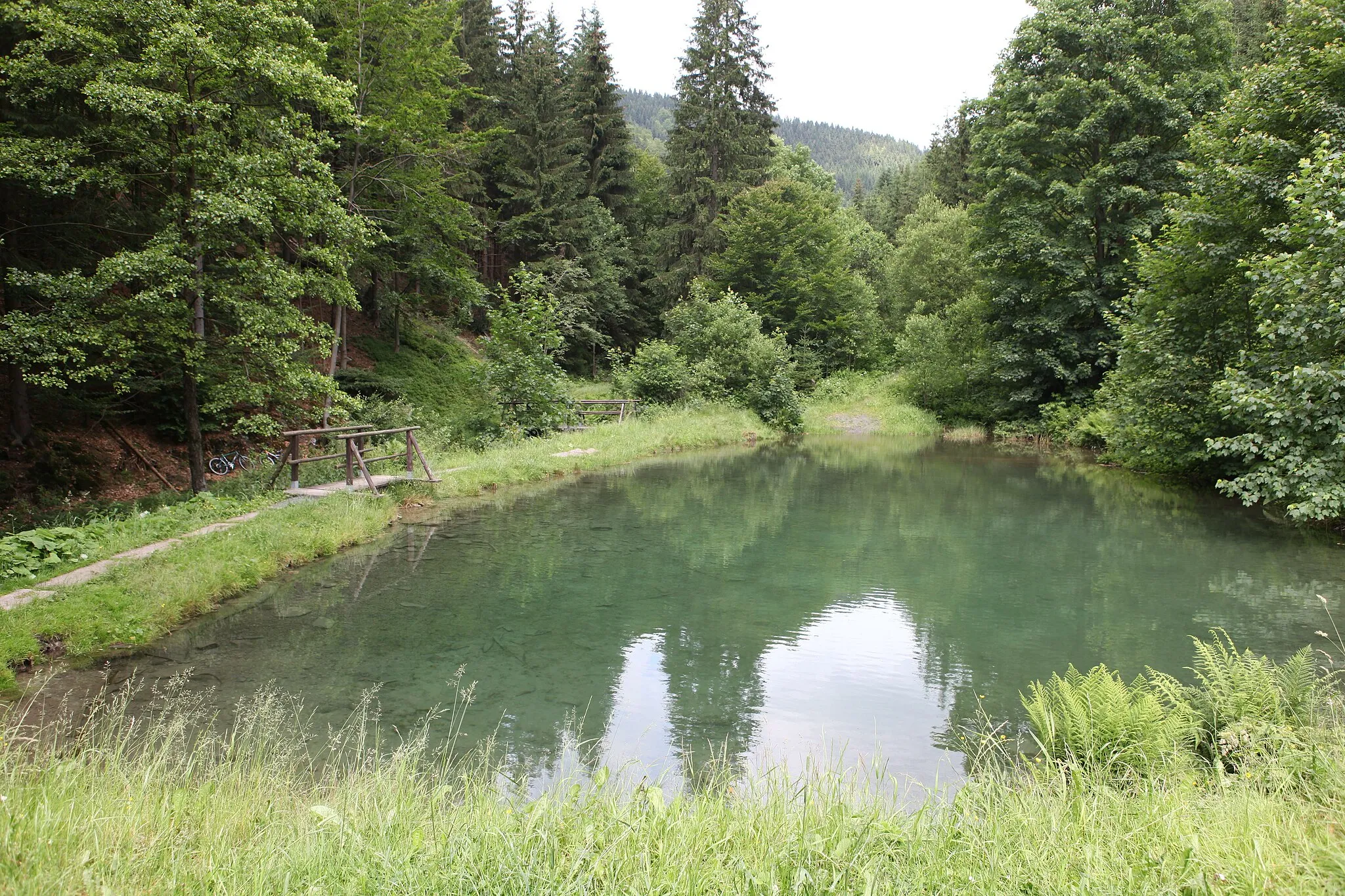
Kohlhieb790 mPeakKohlhieb, located at 34 kilometers, offers a peaceful retreat with its tranquil forest and a captivating view of the valley.
36 km
36 km
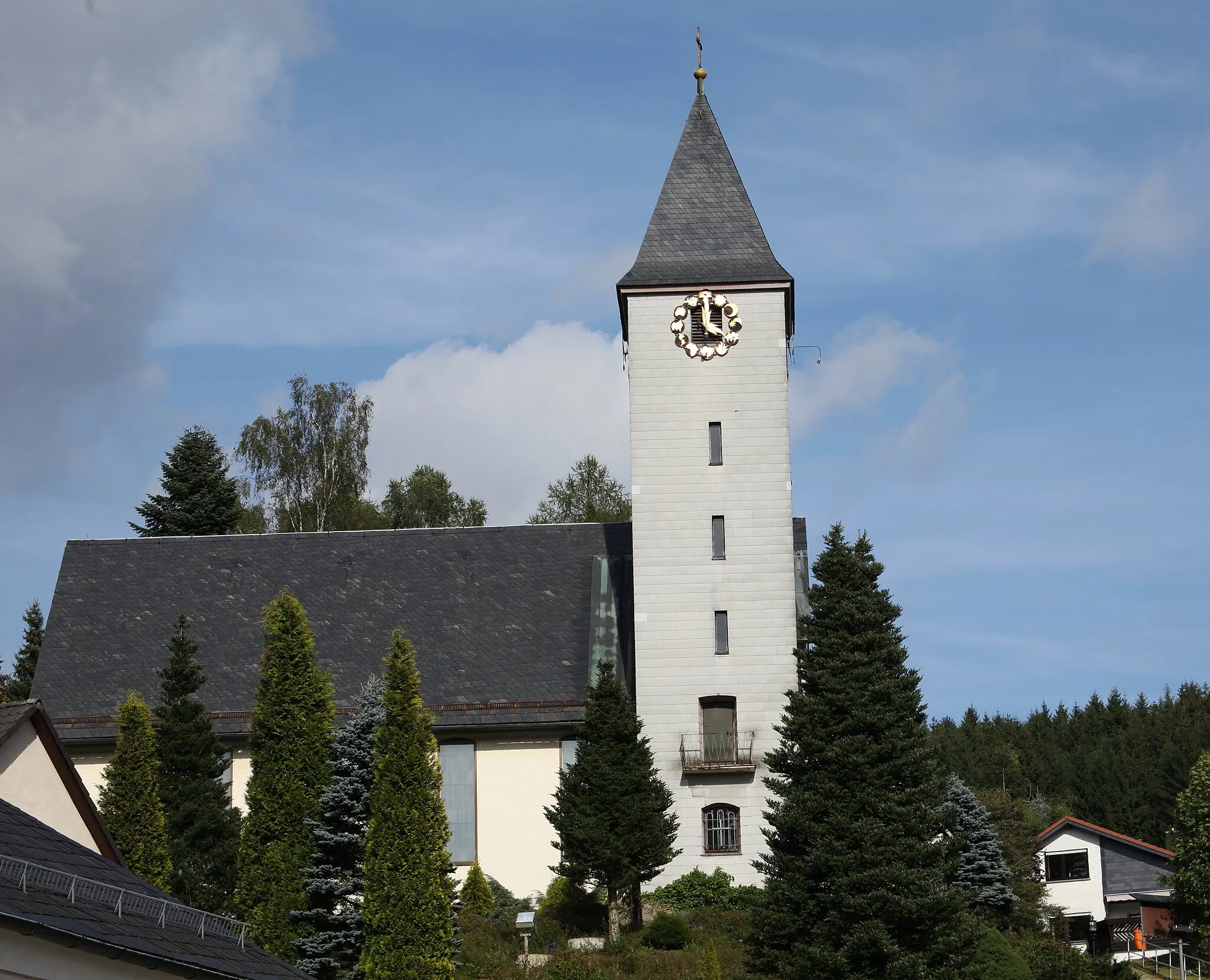
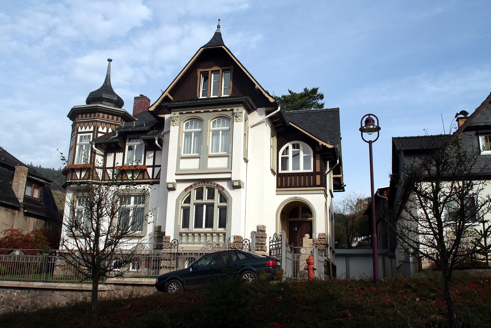
Neustadt am RennsteigVillageNeustadt am Rennsteig, found at 36 kilometers, is a quaint town renowned for its charming half-timbered houses and its location along the Rennsteig trail.
52 km
52 km
DröbischauVillageDröbischau, situated at 52 kilometers, invites you to explore its historic castle and indulge in the beauty of its surroundings.
55 km
55 km
Barigauer Höhe665 mPeakBarigauer Höhe, located at 55 kilometers, is a scenic viewpoint offering breathtaking panoramic views of the Franconian Forest.
73 km
73 km
Sauhügel722 mPeakSauhügel, found at 73 kilometers, is a challenging climb that rewards cyclists with magnificent views from the summit.
75 km
75 km
LichteVillageLichte, situated at 75 kilometers, is a picturesque town nestled in the heart of the Thuringian Forest and revered for its serene atmosphere.
75 km
75 km
Finish: Lichte Village centerLichte: Cycling paradise in Thüringen's beautiful countryside.
Cycling routes from Lichte:
Thuringian Mountains Loop Rennsteig Highlights Discover the Thuringian Forest Gravel Adventure through Thuringia The Thuringian Hills Road Adventure Apelsberg - Katzhütte - Gillersdorf Gravel Adventure Through Thüringen Around Lichte: Gravel Adventure Hidden Gems of Lichte: Gravel Exploration Through the Wilderness: Gravel Adventure
Cycling routes nearby: